
Search for another town


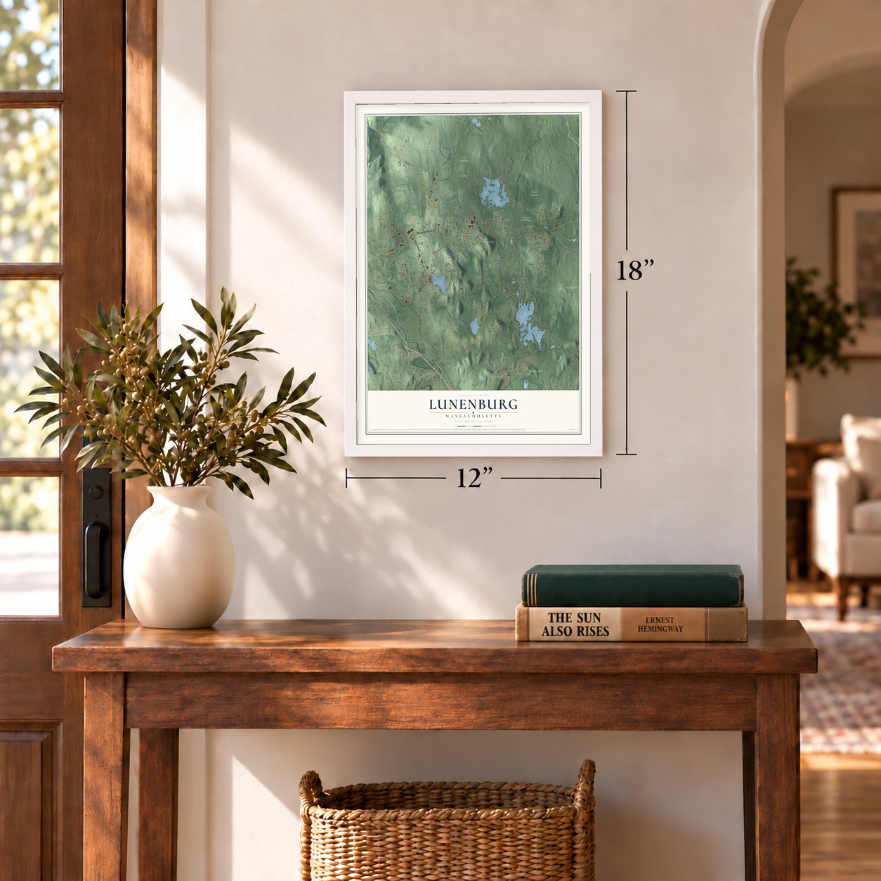
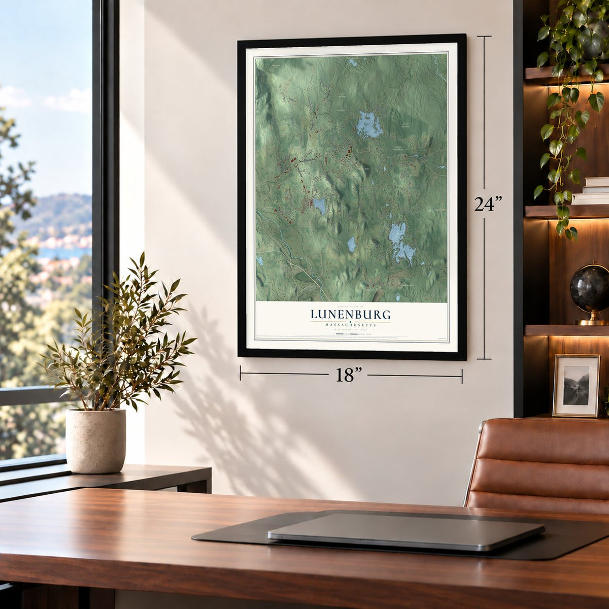
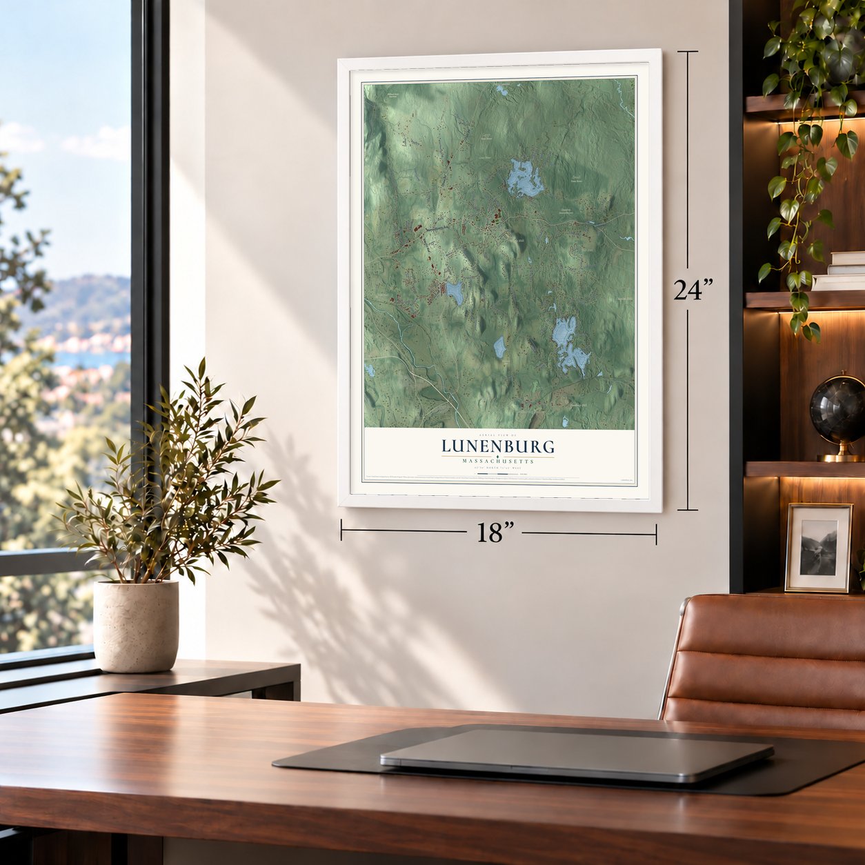

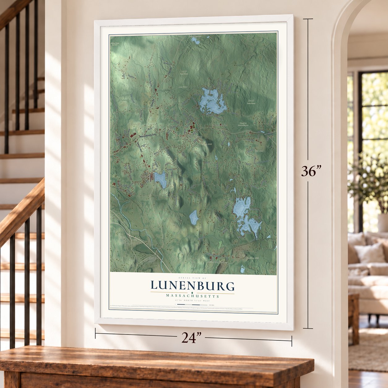
Free U.S. delivery 7 to 10 days after you order
Lunenburg, Massachusetts Map Art
Building by building, with labeled streets and shaded relief.
12" x 18" Archival Matte Print
A Map of Home. A Work of Art.
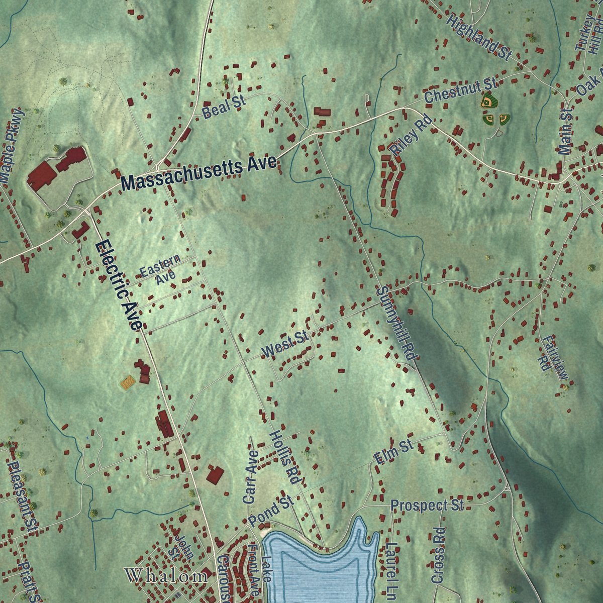
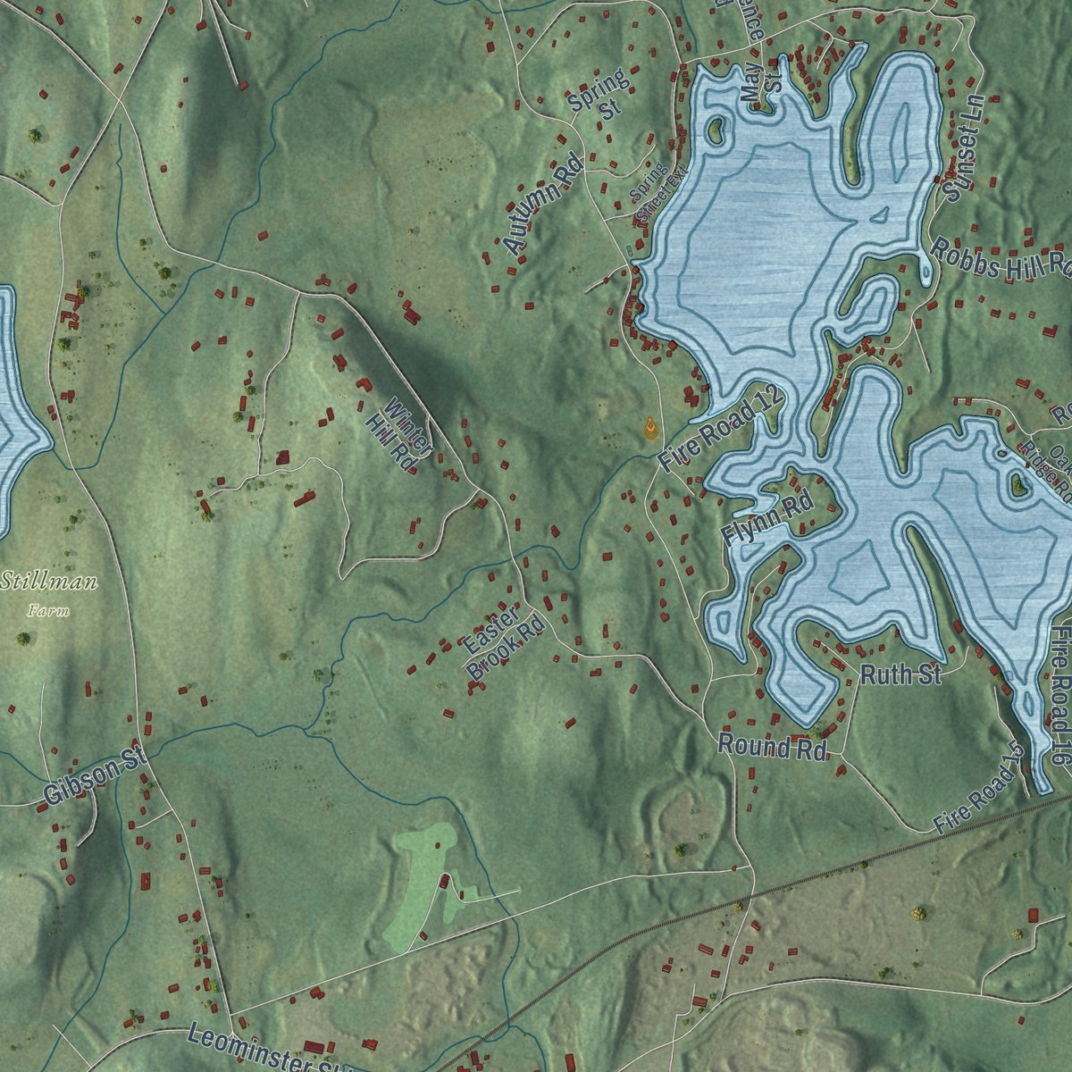
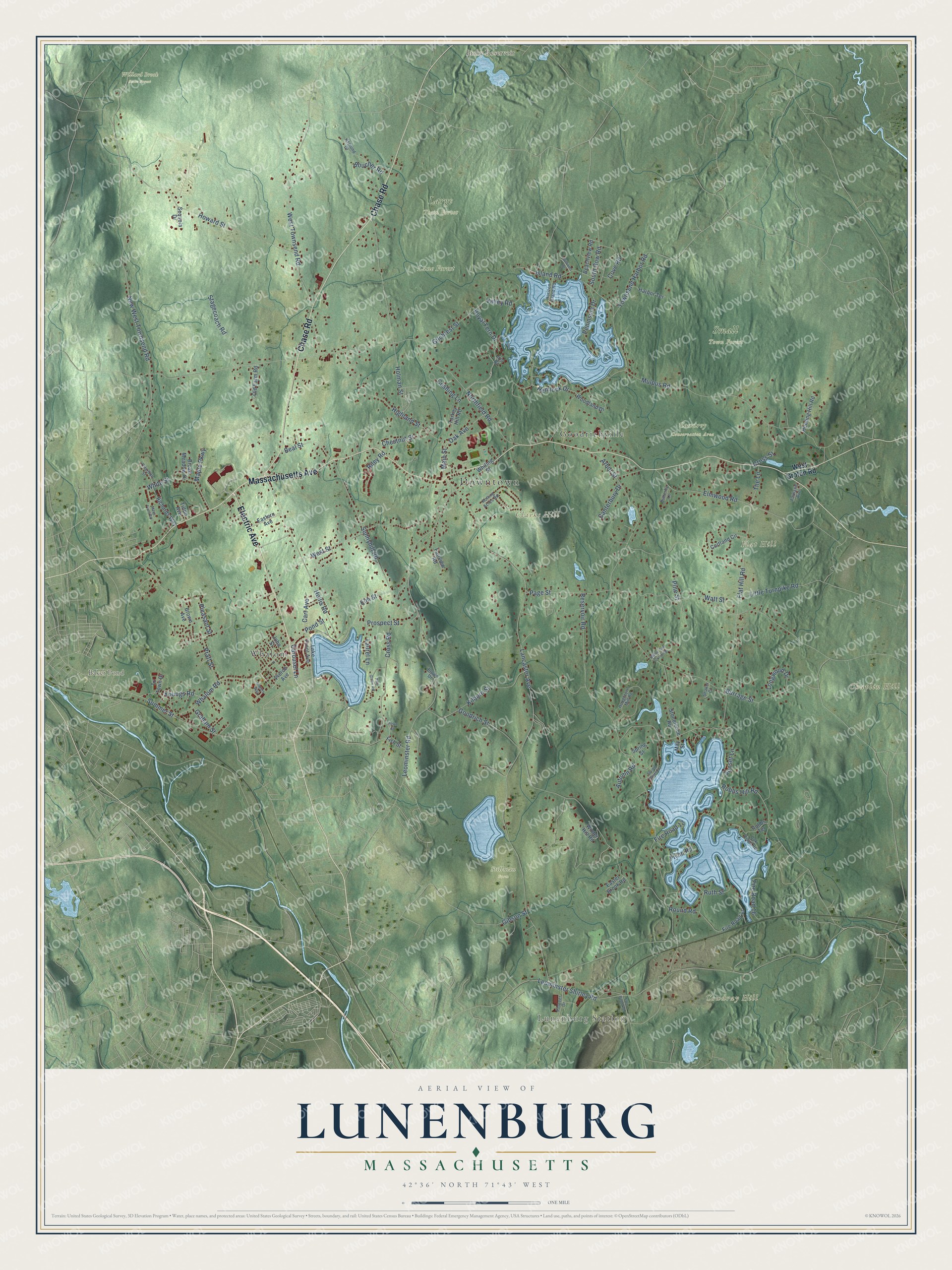
Explore Lunenburg, Massachusetts from a whole new perspective. Created using aerial imagery and detailed geographic data, this map captures Lunenburg building by building, with labeled streets, familiar landmarks, and shaded topographical relief that highlights the natural contours of the landscape.
Combining modern data with the timeless character of a vintage atlas, this map is just as interesting up close as it is beautiful on the wall. Whether you grew up in Lunenburg, spent memorable years there, or call it home today, this unique map is a great way to celebrate a place that means something to you. Zoom in on the preview to look for your street, and then order a print to put your memories on the wall.
Three ways to hang it
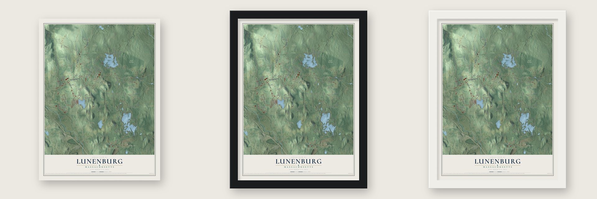
Unframed archival matte, a black wood frame or a white wood frame.
Up close
Geography Worth Displaying
This map was created using accurate cartographic data and authoritative geographic sources, including the U.S. Geological Survey (USGS) and FEMA. The map brings together terrain, waterways, roads, and building detail. The majority of the streets are labeled, houses are accurately depicted, and the topography is derived from government sources. Combining local data with carefully composed color and shading leads to this beautifully detailed Lunenburg artwork for your wall.
Rather than simply showing street outlines, we’ve included as many of the street names as we could reasonably fit on the map while keeping their names legible. Zoom in on the high resolution preview to see exactly what’s on the map. We truly set out to create a statement piece for anyone who loves Lunenburg. So whether it’s for you, or a gift for someone you love, we hope this map of Lunenburg brings back fond memories.
Explore the full map of Lunenburg, Massachusetts and read about the local places it shows.

Find your street
Names on the Lunenburg map
Every name below is printed on this map. Look for your street, your school, the park where you played, or the pond down the road.
Places and landmarks16
- Downtown
- Lunenburg Station
- Chaplin Hill
- Clarks Hill
- Cowdray Hill
- Flat Hill
- Baker Pond
- Bixby Reservoir
- Cowdrey Conservation Area
- Lane Forest
- Large Town Forest
- Small Town Forest
Show all 16 places
- Stillman Farm
- Willard Brook State Forest
- Whalom
- Goodrichville
Streets and roads120
- Electric Avenue
- Massachusetts Avenue
- Chase Road
- Main Street
- Royal Fern Drive
- Prospect Street
- Valley Road
- New West Townsend Road
- Leominster Shirley Road
- West Townsend Road
- Lancaster Avenue
- Northfield Road
- Reservoir Road
- Flat Hill Road
- Leominster Road
- West Street
- Goodrich Street
- Page Street
- Townsend Harbor Road
- Burrage Street
- Mulpus Road
- Howard Street
- Holman Street
- Sunnyhill Road
- Hollis Road
- Elmwood Road
- Arbor Street
- Whalom Road
- Highland Street
- Sunset Lane
Show all 120 streets
- Cross Road
- Pleasant Street
- Kilburn Street
- Summer Street
- South Row Road
- White Street
- Stagecoach Road
- Hemlock Drive
- Robbs Hill Road
- Fire Road 12
- Carousel Lane
- Island Road
- Peninsula Drive
- Little Turnpike Road
- Youngs Road
- Beal Street
- Gilchrest Street
- Chestnut Street
- Pine Street
- Oak Avenue
- Longwood Drive
- Cove Road
- Elm Street
- Round Road
- Cushing Lane
- Cross Street
- Fire Road 16
- Flynn Road
- Riley Road
- Pratt Street
- Canterbury Drive
- Laurel Lane
- Boucher Road
- The Lane
- Carr Avenue
- Watt Street
- Graham Street
- Maple Parkway
- Autumn Road
- Ruth Street
- Gibson Street
- Pond Street
- West Groton Road
- Lake Front Avenue
- Cortland Circle
- Woodland Drive
- Whiting Street
- Turkey Hill Road
- Richards Way
- Fire Road 15
- Fairview Road
- Hunting Hill Road
- Brown Avenue
- Old Farm Road
- Harbor Terrace
- Stonefence Road
- Spring Street
- Beachview Road
- Eastern Avenue
- Fish Street
- Pierce Avenue
- Broad Meadow Drive
- Winter Hill Road
- Robbs Terrace
- Easter Brook Road
- John Street
- Sequoia Drive
- Tilton Avenue
- Tri Town Drive
- May Street
- Iris Court
- Houghton's Mill Road
- Rolling Acres Road
- Oak Ridge Road
- Asplund Drive
- Horizon Island Road
- Pioneer Drive
- Charlton Street
- Fairland Avenue
- Butterfly Lane
- Shaker Court
- Brown Drive
- Fort Pond Road
- Rogers Way
- Pine Grove Road
- White Tail Crossing
- Mays Field Road
- Spring Street Extension
- Williams Drive
- Town Street
Names are listed as they appear on the printed map. Zoom into the product photos to find them.
About Lunenburg, Massachusetts
Lunenburg is a town of 11,782 people in Worcester County. Before it had a name, settlers knew this upland as Turkey Hills for the wild turkeys found there, and Samuel Page of Groton had begun clearing a farm by 1718. The General Court granted the land as South Town in 1719. In May 1725 nine families held out in five garrison houses, and by the following March 26 houses had gone up, ten of them occupied.
The town was incorporated on August 1, 1728, and took its name from a title of King George II, Duke of Brunswick-Luneburg. When Worcester County was formed in 1731, Lunenburg was its thirteenth and youngest town. Settlers on the western side found the trip to church and town meeting too long, so in 1764 Fitchburg, more than half the old township, became a town of its own. Lunenburg families kept moving north, and two-thirds of early Rindge, New Hampshire, traced back to them.
“It is impossible to find a town within an extended radius or to name a State in the Union that does not contain many who trace their ancestry through the records of Lunenburg.”
- Where the Burbank potato beganLuther Burbank, born on a farm in Lancaster next door, spent his inheritance on a 17-acre plot near the town center and bred the Burbank potato there. Selling the rights for $150 paid his way to Santa Rosa, California, in 1875. Later a russet-skinned variant of it, the Russet Burbank, became the most widely grown potato in the country.
- Summers at Whalom ParkA 1713 record spells the lake Unkachewalwick; by 1889 people said only its last two syllables. In 1893 the street railway from Fitchburg and Leominster built Whalom Park on the shore. Its open-air theatre began in 1898 with folding chairs on a hillside and grew to seat nearly 3,000. By 1912 it also had a hotel, dance hall, deer park, bear cage, roller coaster and lake steamer.
- A farm boy at the TreasuryGeorge S. Boutwell grew up on a hillside farm here and clerked in a village store from 1830 to 1834. He led the state as governor from 1851 to 1853 and ran the U.S. Treasury from 1869 to 1873. In 1855 he called on the state's feuding factions to join in a "union against slavery," an effort that helped found the Massachusetts Republican Party.
- The old center on Turkey HillThe Lunenburg Historic District, on the high ground once called Turkey Hill, covers 102 acres with 77 historic buildings and joined the National Register in 1988. The oldest are the Cushing House, from about 1724, and the Stillman Stone House, from about 1730, and there is a brick schoolhouse built in 1835. The town hall began as the First Parish meetinghouse, dedicated on Christmas Day 1830; the town bought it in 1867 and moved it about 70 yards north.
Keep exploring Massachusetts
Lunenburg is one of 461 Massachusetts towns we've mapped. Every dot on the map is a print of its own.
The search covers every state, Massachusetts first.
Near Lunenburg
Order 2 or more town maps and save 10%. Shown in the size and finish you picked above, so they hang as a set.
- Shirley 12" x 18" / Archival Matte Print $39.99
- Leominster 12" x 18" / Archival Matte Print $39.99
- Fitchburg 12" x 18" / Archival Matte Print $39.99

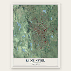

More maps nearby: Townsend, Devens, Lancaster, Ayer and Groton.
The art of mapping a place
How This Map Was Made
Real places. Remarkable detail. Discover the layers that turn geographic data into a map of home.

The view from above
Aerial imagery reveals the character of the land: woodland, open fields, and the patterns of a place.

The shape of the land
Elevation data brings hills, valleys, and subtle changes in the landscape into view.

The details of home
Roads, waterways, and building footprints come together to make the map feel unmistakably local.

Geography becomes art
Considered color, shading, and typography bring the layers together in a map made for your wall.


Process illustrated with Mendon, Massachusetts. Aerial imagery: USDA NAIP. Terrain: USGS 3D Elevation Program. Map details and finished artwork: KNOWOL.
The Details
About This Print
Choose an archival matte print, or a black or white Ayous wood frame. The archival matte print is unframed.
Select your size and finish above to see the matching product image and price.
Materials & Craftsmanship
A contemporary map with the character of a classic atlas, printed on archival matte paper. Optional frames are made from Ayous wood.
Your printed map does not include the watermark shown in the full-map preview.
Shipping & Delivery
Free shipping within the United States. Every print is made to order in the USA.
Buying a gift? Add a note in your cart and we'll include it. We never put prices in the package.
Prints ship within 2 to 3 business days. Allow 7 to 10 days total from ordering for delivery. Timing may vary during holidays or periods of high order volume.
Read our shipping policy.
Returns and damaged prints
Each print is made to order. Change-of-mind refunds are not available after production.
If your print arrives damaged, misprinted or incorrect, contact support@knowol.com within 30 days of receiving it. Include your order number, photos and a description of the issue.
Read our full refund and replacement policy. For questions about your order, email support@knowol.com.