
Search for another town
Free U.S. delivery 7 to 10 days after you order
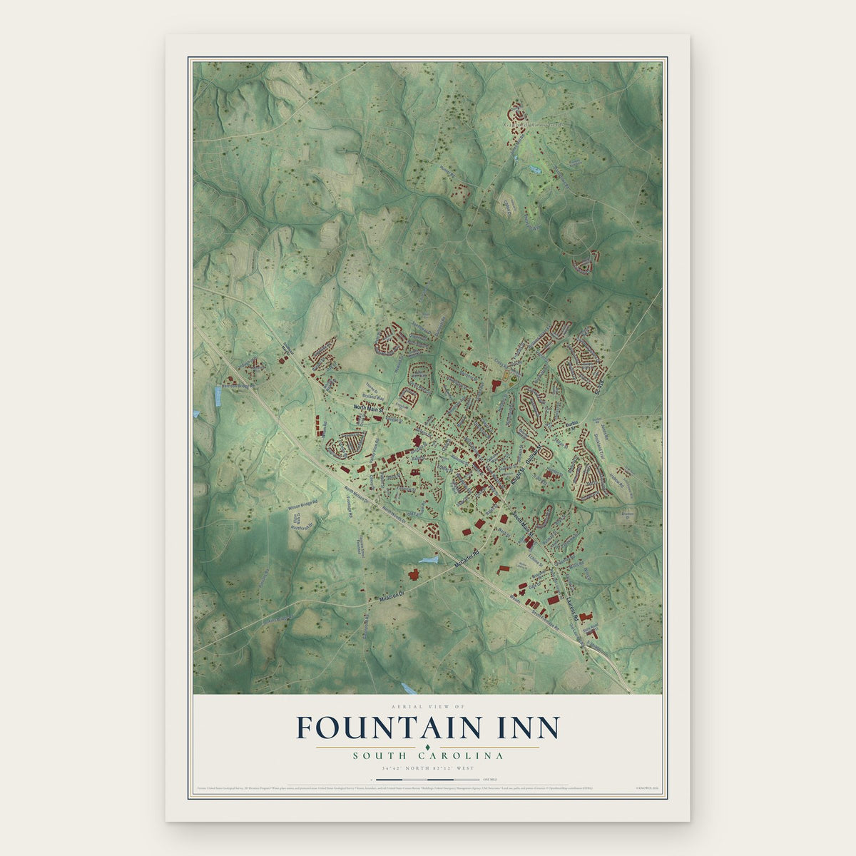
Fountain Inn, South Carolina Map Art
Building by building, with labeled streets and shaded relief.
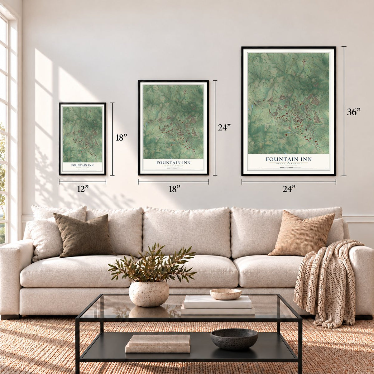
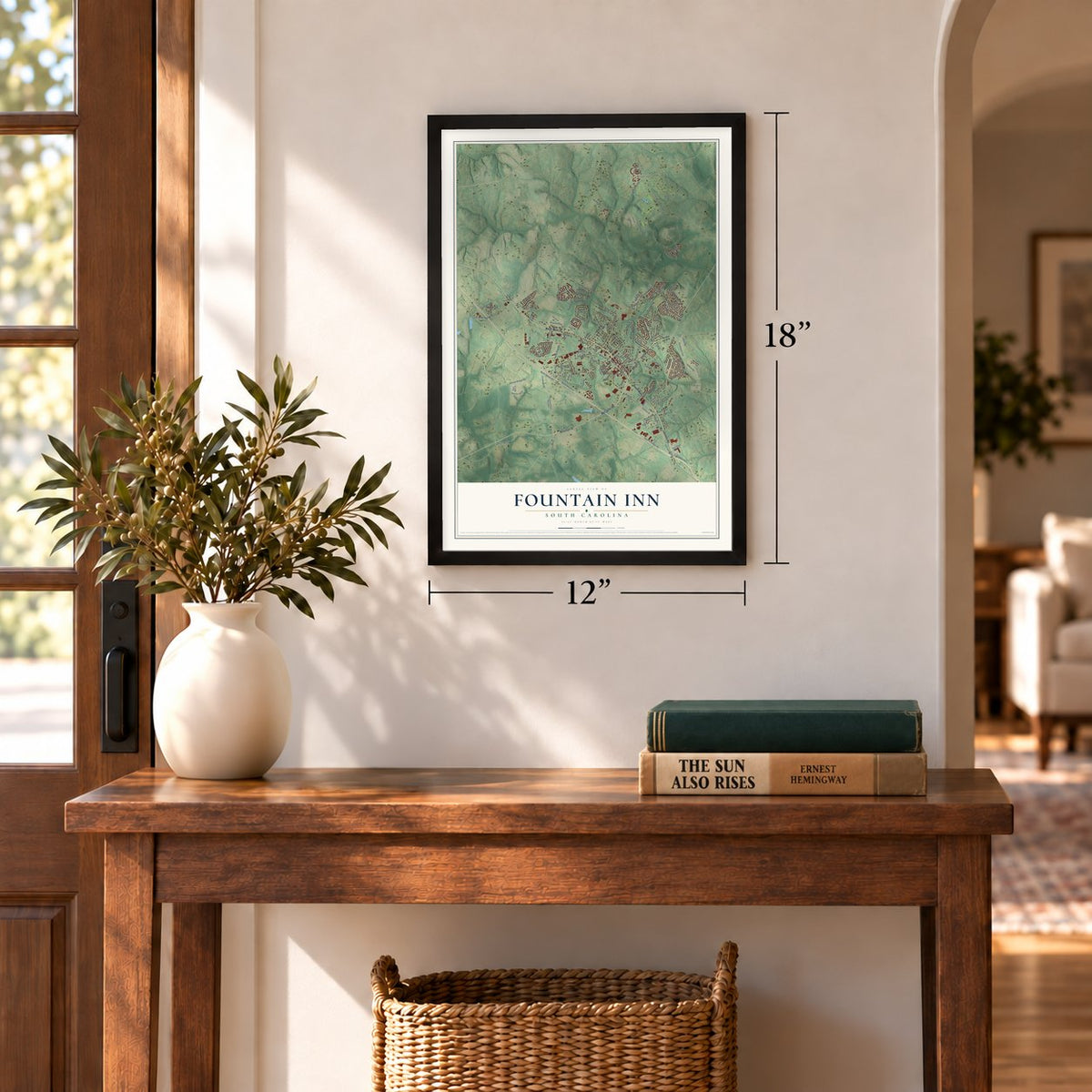
12" x 18" Archival Matte Print
A Map of Home. A Work of Art.
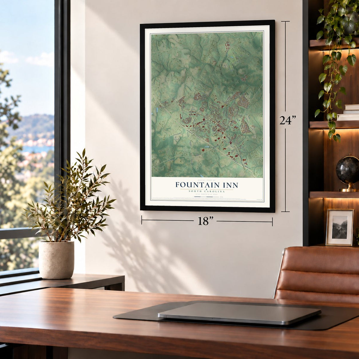
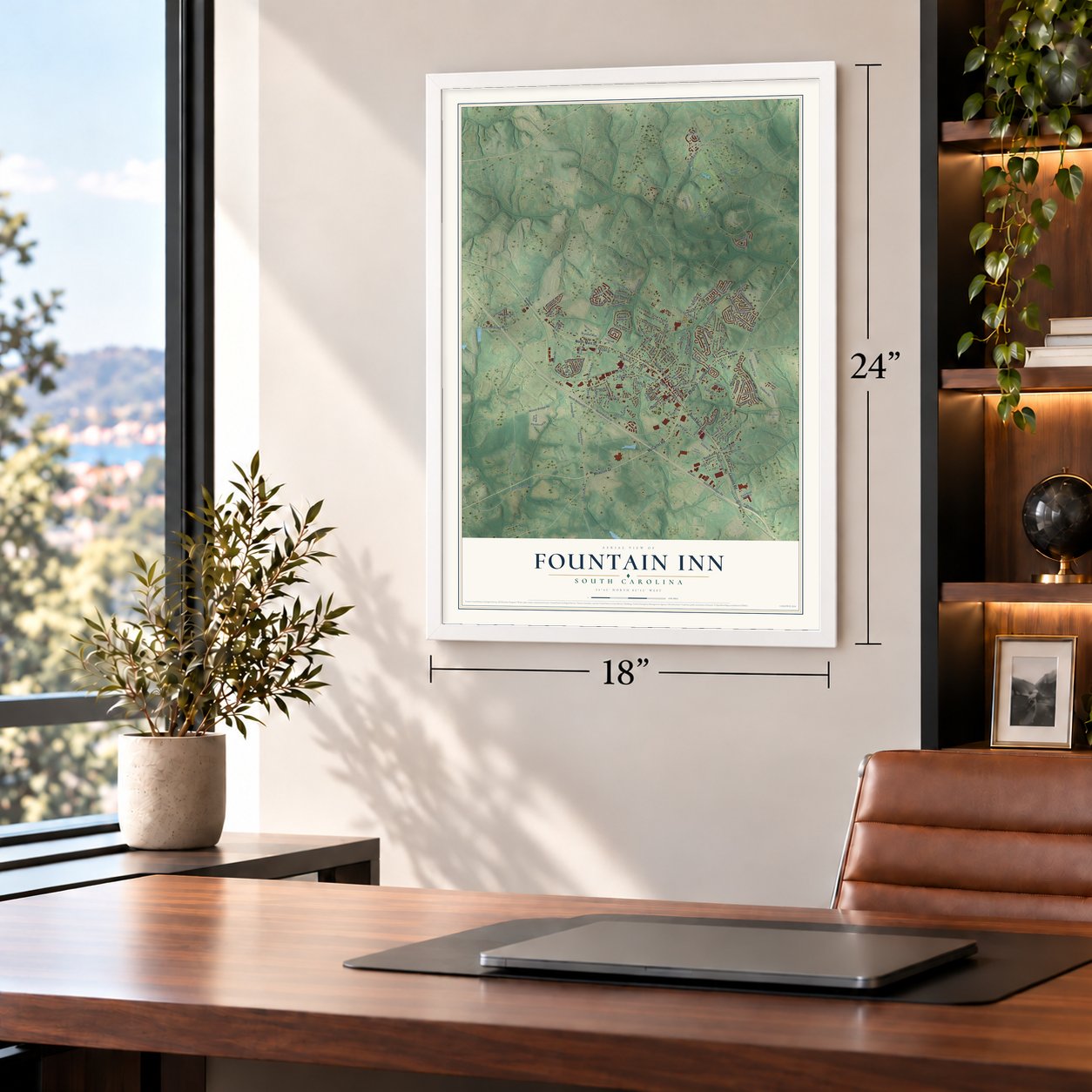
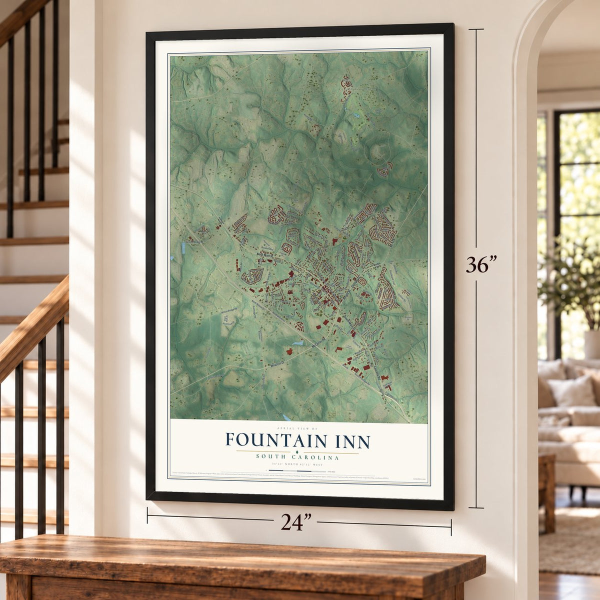
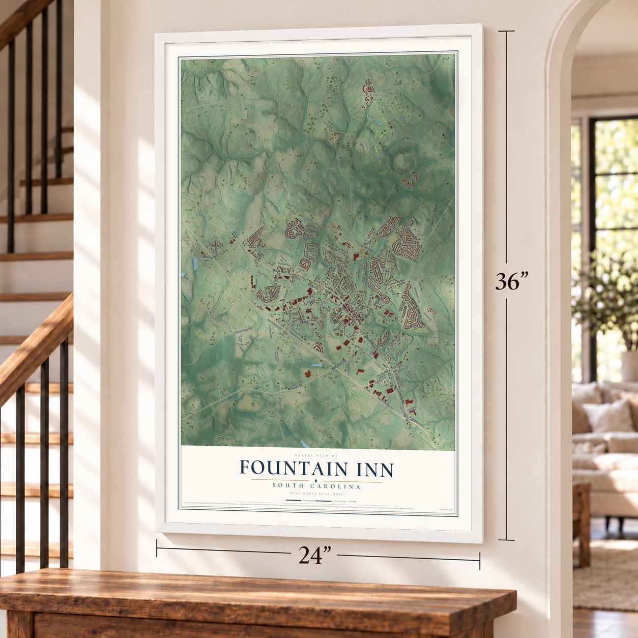
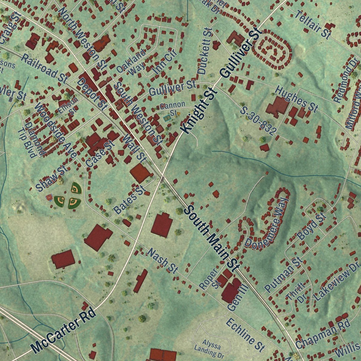
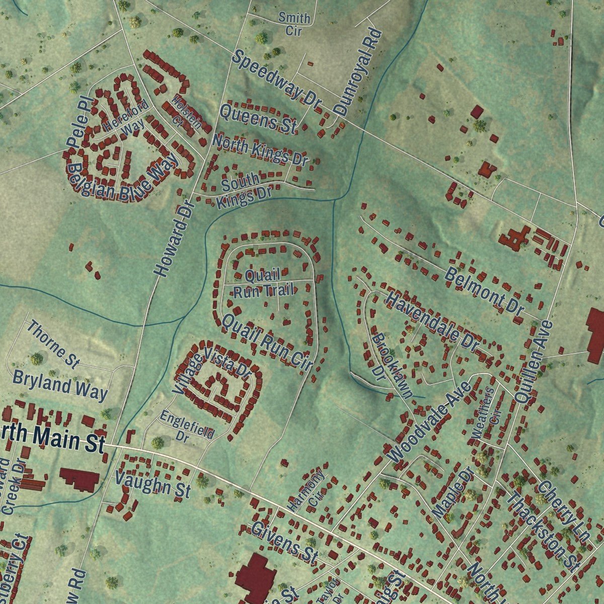
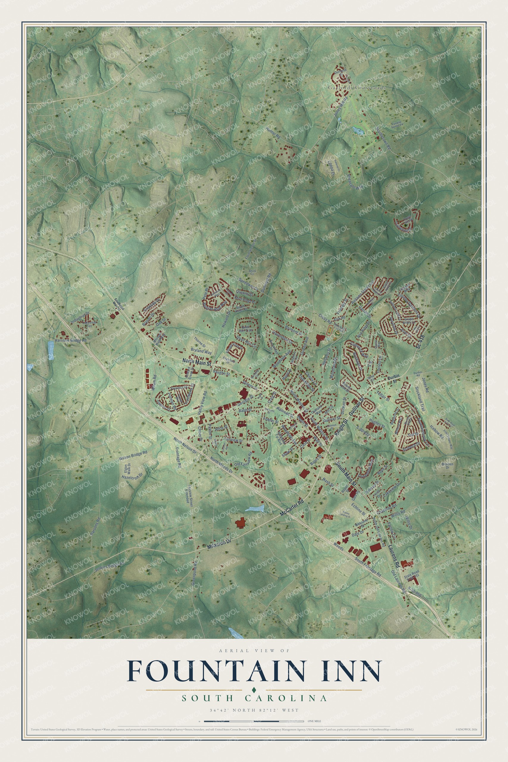
Explore Fountain Inn, South Carolina from a whole new perspective. Created using aerial imagery and detailed geographic data, this map captures Fountain Inn building by building, with labeled streets, familiar landmarks, and shaded topographical relief that highlights the natural contours of the landscape.
Combining modern data with the timeless character of a vintage atlas, this map is just as interesting up close as it is beautiful on the wall. Whether you grew up in Fountain Inn, spent memorable years there, or call it home today, this unique map is a great way to celebrate a place that means something to you. Zoom in on the preview to look for your street, and then order a print to put your memories on the wall.
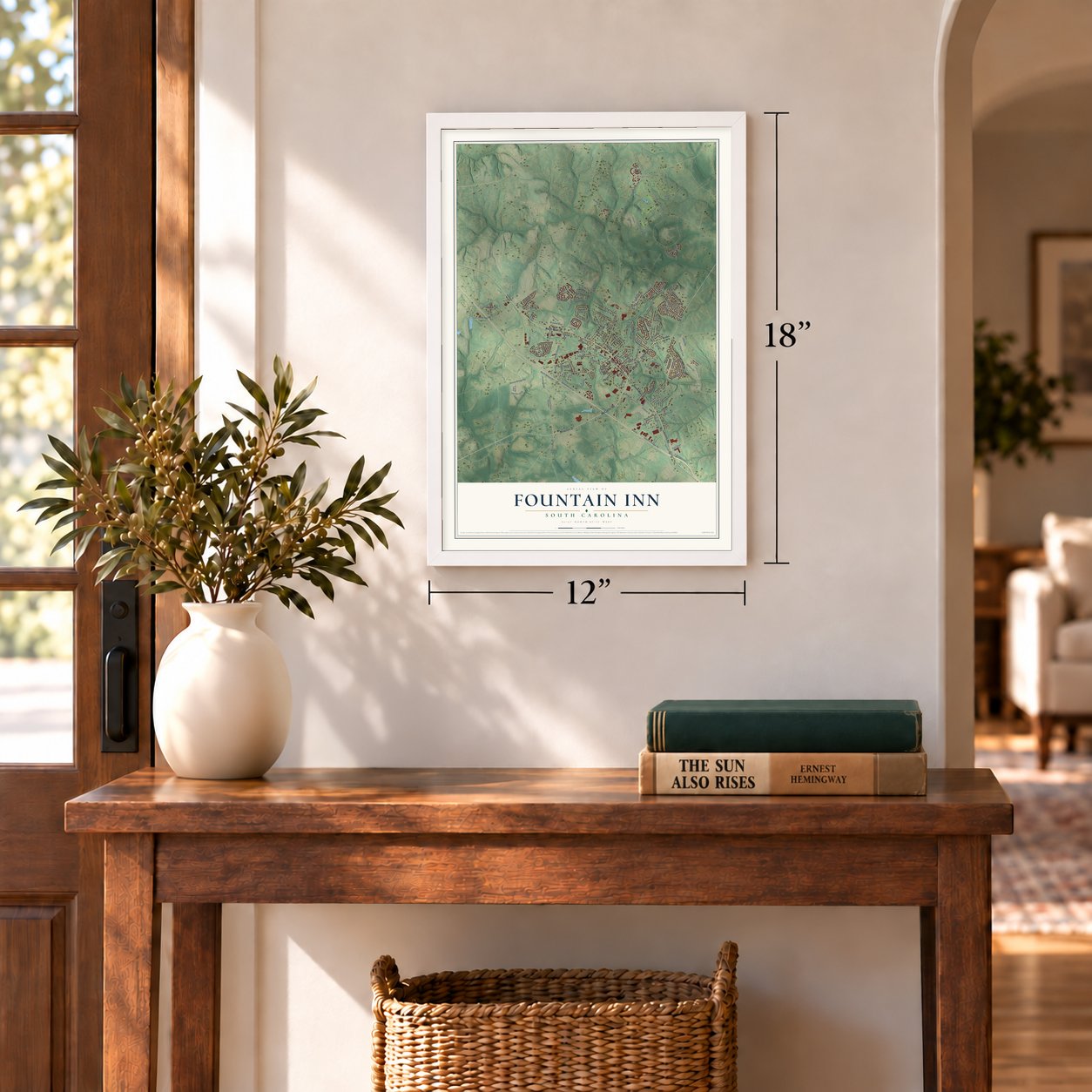
Three ways to hang it
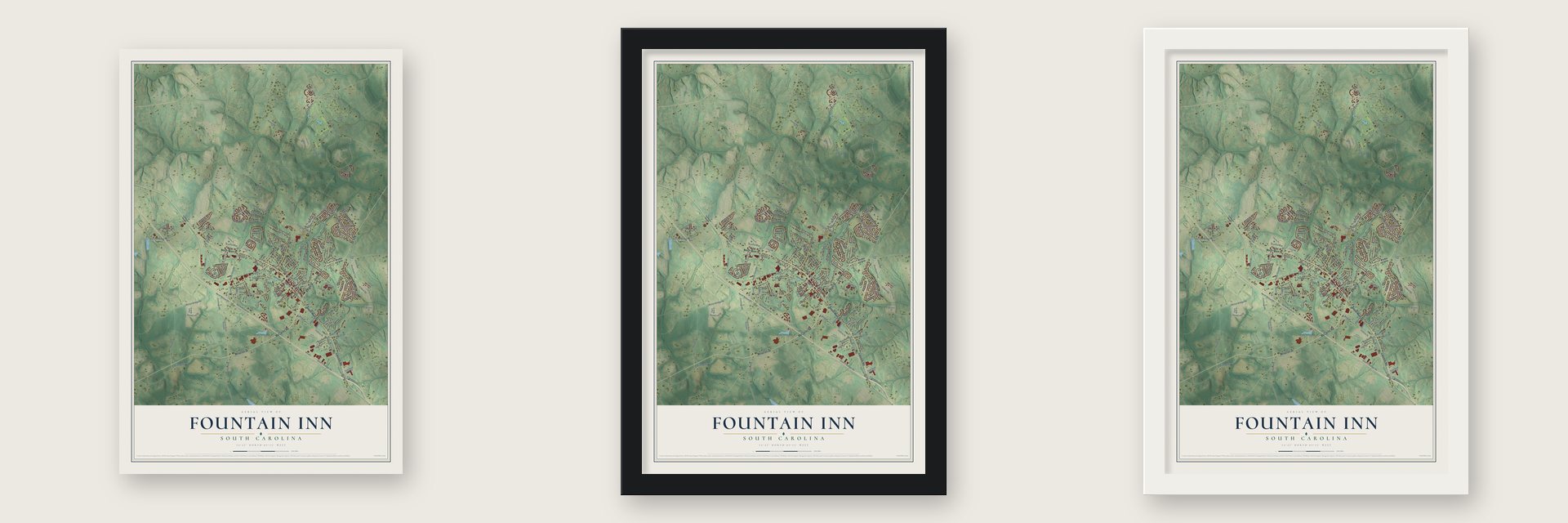
Unframed archival matte, a black wood frame or a white wood frame.
Up close
Geography Worth Displaying
This map was created using accurate cartographic data and authoritative geographic sources, including the U.S. Geological Survey and the Census Bureau. The map brings together terrain, waterways, roads, and building detail. The majority of the streets are labeled, houses are accurately depicted, and the topography is derived from government sources. Combining local data with carefully composed color and shading leads to this beautifully detailed Fountain Inn artwork for your wall.
Rather than simply showing street outlines, we’ve included as many of the street names as we could reasonably fit on the map while keeping their names legible. Zoom in on the high resolution preview to see exactly what’s on the map. We truly set out to create a statement piece for anyone who loves Fountain Inn. So whether it’s for you, or a gift for someone you love, we hope this map of Fountain Inn brings back fond memories.
Read the story behind this map of Fountain Inn, South Carolina from 2026.

Find your street
Names on the Fountain Inn map
Every name below is printed on this map. Look for your street, your school, the park where you played, or the pond down the road.
Places and landmarks1
- Gaylords Crossroads
Streets and roads168
- South Main Street
- McCarter Road
- Knight Street
- Gulliver Street
- Laurens Road
- North Main Street
- Milacron Drive
- Sc-418
- Old Laurens Road
- North Woods Drive
- South Weston Street
- Fairview Street
- North Nelson Drive
- Frontage Road
- North Weston Street
- Woods
- Scuffletown Road
- Hellams Street
- Nash Street
- S-30-832
- Quail Run Circle
- South Frontage Road
- Georgia Street
- Garrett Street
- Quillen Avenue
- Howard Drive
- Speedway Drive
- Jones Mill Road
- Putman Road
- Boyd Street
Show all 168 streets
- Harrison Bridge Road
- Fountainbrook Lane
- Hellams Street Extension
- Pheasant Way
- Woodside Avenue
- Valley View Road
- Industrial Drive
- Chapman Road
- Catterick Way
- Old Fairview Road
- Country Gardens Drive
- Hazelcroft Drive
- Inn Circle
- Hughes Street
- Veryfine Drive
- Icebow Road
- Bryson Drive
- Craig Street
- Putman Street
- Wall Street
- Dale Drive
- Belmont Drive
- Bryland Way
- Jenkins Bridge Road
- Hunter Road
- Telfair Street
- Woodland Drive
- Woodvale Avenue
- Pele Place
- Coppa Court
- Jones Road
- Stockland Trail
- Babb Street
- Greenpond Road
- Wilson Bridge Road
- Cross Road
- Forrest Drive
- Parsons Road
- Frostberry Court
- Oak Drive
- Trailwood Drive
- Farrow Circle
- Friendly Street
- Wham Road
- Havendale Drive
- Cherry Lane
- Belgian Blue Way
- Brisbane Drive
- Railroad Street
- Ariel Court
- Chevy Drive
- Thackston Street
- Donemere Way
- S-30-956
- Willis Road
- Eventide Drive
- Screech Drive
- Duckett Street
- Queens Street
- Dunroyal Road
- Bates Street
- Vaughn Street
- Ted Drive
- Lakeview Drive
- Givens Street
- Fowler Street
- Willis Drive
- Echline Street
- Case Street
- Shaw Street
- Patton Street
- Alice Street
- Depot Street
- Gen III
- Durbin Street
- Fairview Street Extended
- North Old Laurens Road
- Roper Street
- Scarlet Oak Drive
- Grape Arbor Lane
- Fountain Inn Drive
- Village Vista Drive
- Durness Drive
- Blue Ridge Drive
- Brooklawn Drive
- Lakeview Terrace
- Bruinen Drive
- South Kings Drive
- Flagstar Court
- Gray Circle
- Oakland Way
- Flannery Court
- Autumn Leaf Lane
- Crest Hill Drive
- Thorne Street
- North Kings Drive
- Reagan Way
- Thrift Drive
- Welcome Drive
- Quail Run Trail
- Maple Drive
- Mitford Way
- Howard Creek Drive
- Redmond Drive
- Diamond Tip Boulevard
- State Road S-30-731
- Fork Road
- Elgon Walk Drive
- Whisper Walk Way
- Lak Lane
- Barred Owl Drive
- Fairway Forest Vw
- Frost Flower Way
- Cannon Street
- Fortson Way
- Weathers Circle
- Smith Circle
- Kendals Lane
- Ellison Street
- Hereford Way
- Englefield Drive
- Durbin Road
- Sweet Apple Court
- Harmony Circle
- Parsons Street
- Charlie Way
- Southeast Main Street
- Torridon Lane
- State Road S-23-889
- Alyssa Landing Drive
- State Road S-30-737
- Country Apple Court
- Galleron Court
- Sunset Court
- Coleman Avenue
- Holstein Court
- Mint Leaf Court
- Taylor Drive
Names are listed as they appear on the printed map. Zoom into the product photos to find them.
About Fountain Inn, South Carolina
Fountain Inn is a city of 10,416 people. Most of it lies in Greenville County, and its southern part reaches into Laurens County. The name goes back to an inn with a fountain on the old stagecoach route, where drivers called their stop Fountain Inn, and the name stuck to the place.
After the Civil War, Noah Cannon bought a large piece of land south of the inn and opened a store. Even so, the place had no real center until 1886, when the Charleston and Western Carolina Railroad came through on its line from Greenville to Laurens.
- A stagecoach stop's nameThe old inn is gone, but a marker on the north side of town shows where it stood. A small garden fountain at City Hall recalls the other half of the name.
- Robert Quillen and Aunt Het DayThe journalist and humorist Robert Quillen made Fountain Inn his adopted home during the early decades of the 20th century. The town still honors his syndicated cartoon column with Aunt Het Day, when Main Street closes to traffic and fills with vendors for several hundred visitors. The Robert Quillen Office and Library joined the National Register in 2012.
- Peg Leg Bates' hometownClayton "Peg Leg" Bates, the one-legged tap dancer, came from Fountain Inn.
- Up from 7,799 in 2010The 2020 census counted 10,416 people in Fountain Inn, a jump from 7,799 just ten years earlier.
Keep exploring South Carolina
Fountain Inn is one of 540 South Carolina towns we've mapped. Every dot on the map is a print of its own.
The search covers every state, South Carolina first.
Near Fountain Inn
Order 2 or more town maps and save 10%. Shown in the size and finish you picked above, so they hang as a set.
- Simpsonville 12" x 18" / Archival Matte Print $39.99
- Owings 12" x 18" / Archival Matte Print $39.99
- Five Forks 12" x 18" / Archival Matte Print $39.99
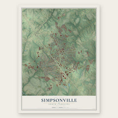
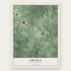
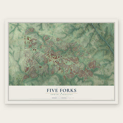
More maps nearby: Fork Shoals, Gray Court, Mauldin, Conestee and Woodruff.
The art of mapping a place
How This Map Was Made
Real places. Remarkable detail. Discover the layers that turn geographic data into a map of home.

The view from above
Aerial imagery reveals the character of the land: woodland, open fields, and the patterns of a place.

The shape of the land
Elevation data brings hills, valleys, and subtle changes in the landscape into view.

The details of home
Roads, waterways, and building footprints come together to make the map feel unmistakably local.

Geography becomes art
Considered color, shading, and typography bring the layers together in a map made for your wall.


Process illustrated with Mendon, Massachusetts. Aerial imagery: USDA NAIP. Terrain: USGS 3D Elevation Program. Map details and finished artwork: KNOWOL.
The Details
About This Print
Choose an archival matte print, or a black or white Ayous wood frame. The archival matte print is unframed.
Select your size and finish above to see the matching product image and price.
Materials & Craftsmanship
A contemporary map with the character of a classic atlas, printed on archival matte paper. Optional frames are made from Ayous wood.
Your printed map does not include the watermark shown in the full-map preview.
Shipping & Delivery
Free shipping within the United States. Every print is made to order in the USA.
Buying a gift? Add a note in your cart and we'll include it. We never put prices in the package.
Prints ship within 2 to 3 business days. Allow 7 to 10 days total from ordering for delivery. Timing may vary during holidays or periods of high order volume.
Read our shipping policy.
Returns and damaged prints
Each print is made to order. Change-of-mind refunds are not available after production.
If your print arrives damaged, misprinted or incorrect, contact support@knowol.com within 30 days of receiving it. Include your order number, photos and a description of the issue.
Read our full refund and replacement policy. For questions about your order, email support@knowol.com.