
Search for another town




Free U.S. delivery 7 to 10 days after you order
Mauldin, South Carolina Map Art
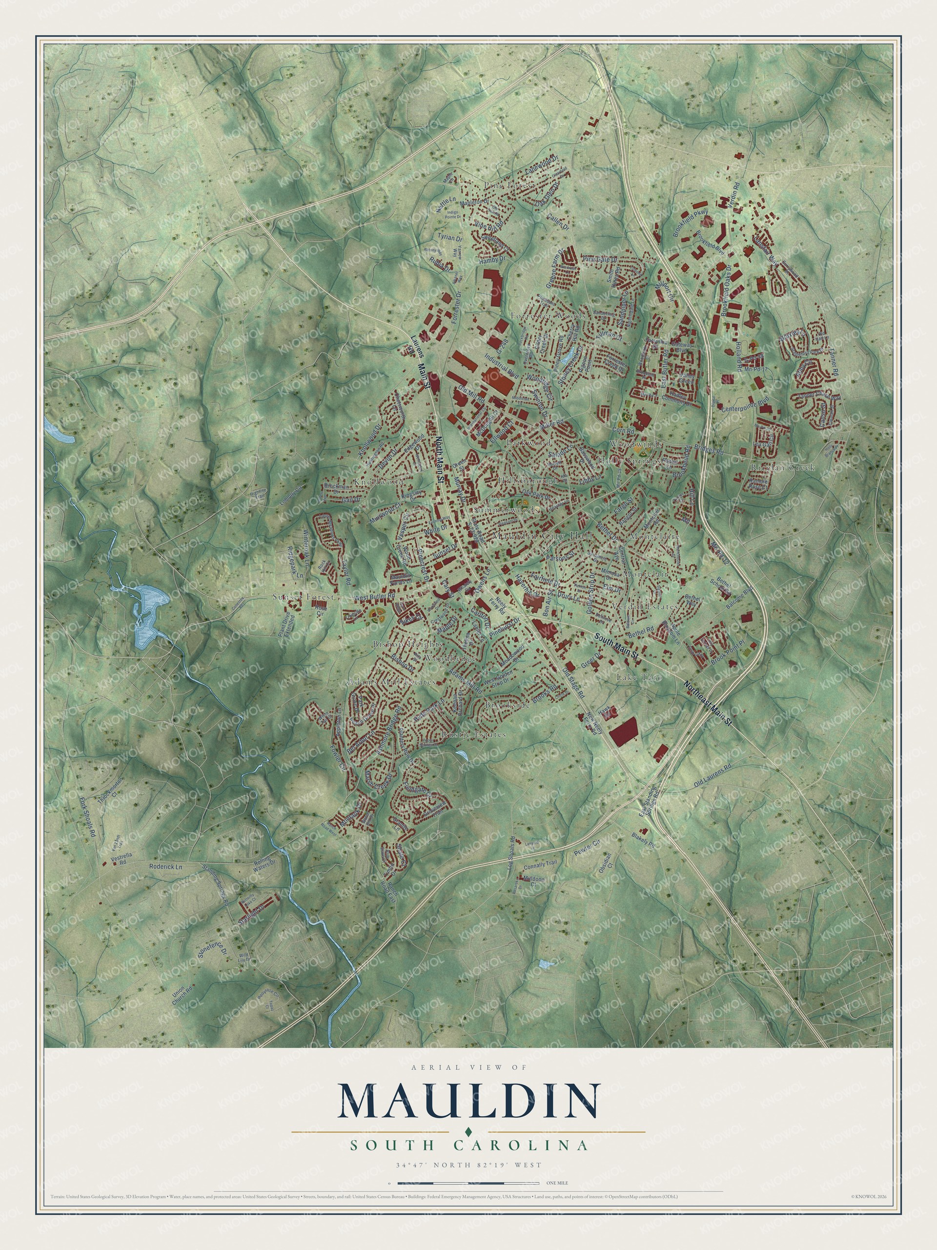
A new map of Mauldin, South Carolina, made in 2026 and printed to order on thick archival matte paper.
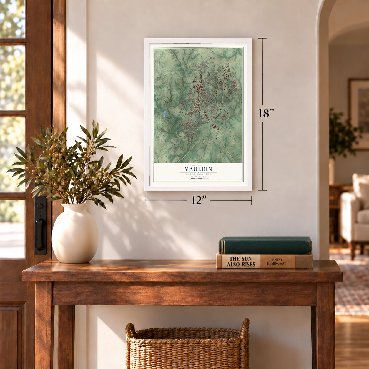
12" x 18" Archival Matte Print
A Map of Home. A Work of Art.
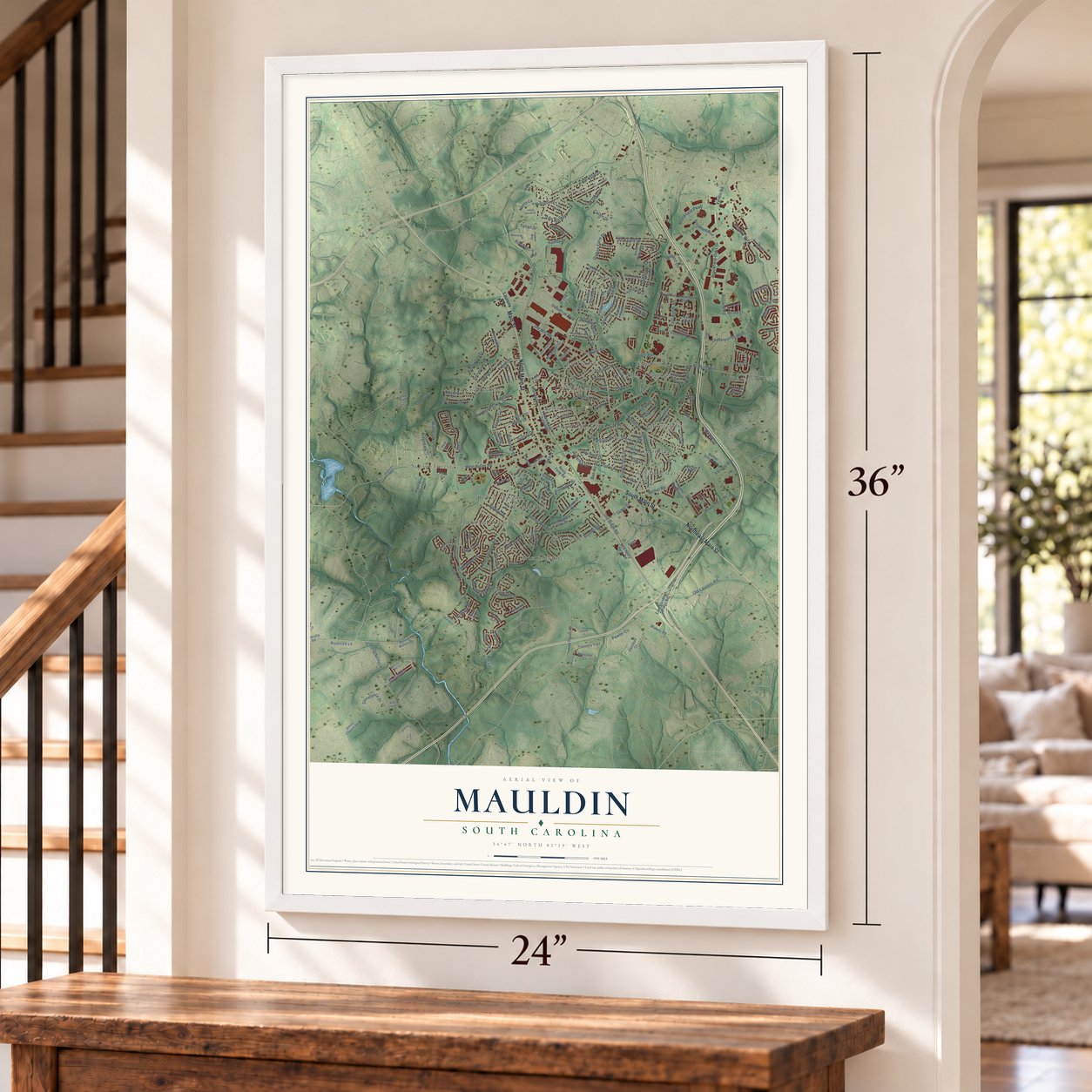
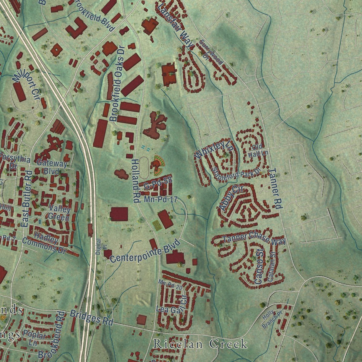
Explore Mauldin, South Carolina from a whole new perspective. Created using aerial imagery and detailed geographic data, this map captures Mauldin building by building, with labeled streets, familiar landmarks, and shaded topographical relief that highlights the natural contours of the landscape.
Combining modern data with the timeless character of a vintage atlas, this map is just as interesting up close as it is beautiful on the wall. Whether you grew up in Mauldin, spent memorable years there, or call it home today, this unique map is a great way to celebrate a place that means something to you. Zoom in on the preview to look for your street, and then order a print to put your memories on the wall.
Three ways to hang it
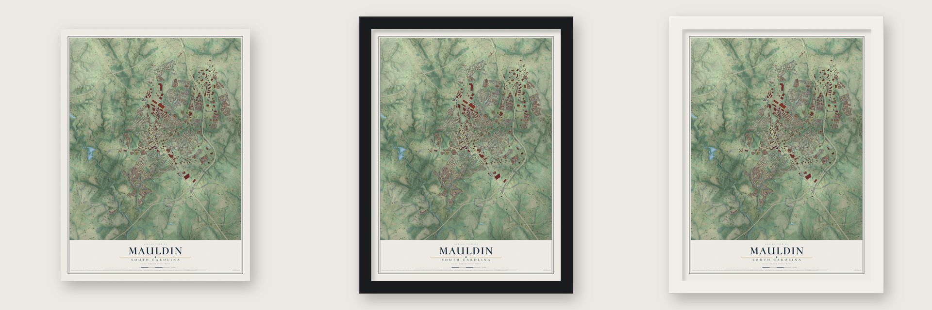
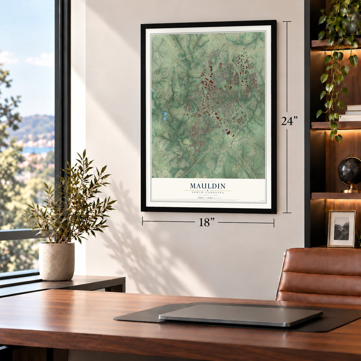
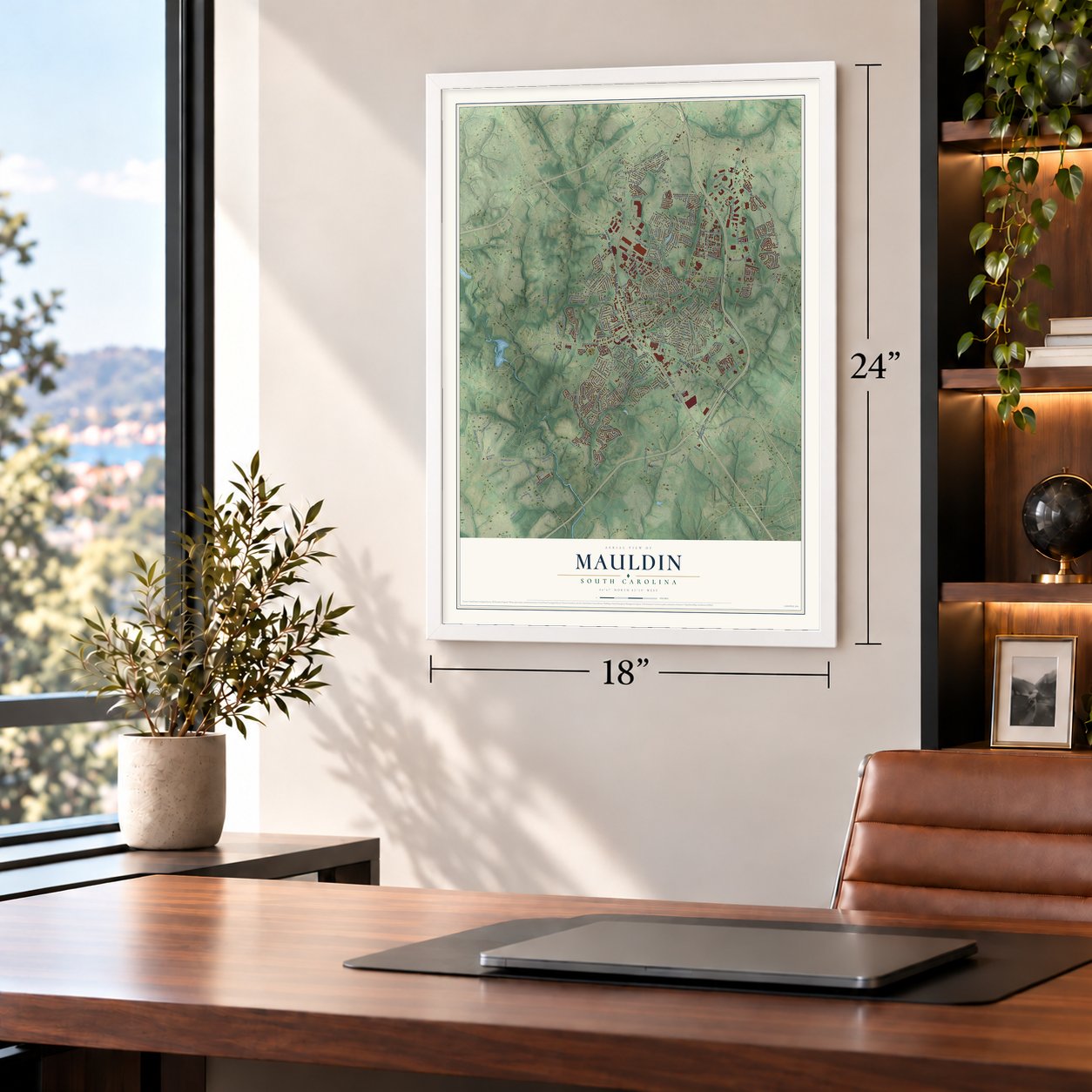
Unframed archival matte, a black wood frame or a white wood frame.
Up close
Geography Worth Displaying
This map was created using accurate cartographic data and authoritative geographic sources, including the U.S. Geological Survey and the Census Bureau. The map brings together terrain, waterways, roads, and building detail. The majority of the streets are labeled, houses are accurately depicted, and the topography is derived from government sources. Combining local data with carefully composed color and shading leads to this beautifully detailed Mauldin artwork for your wall.
Rather than simply showing street outlines, we’ve included as many of the street names as we could reasonably fit on the map while keeping their names legible. Zoom in on the high resolution preview to see exactly what’s on the map. We truly set out to create a statement piece for anyone who loves Mauldin. So whether it’s for you, or a gift for someone you love, we hope this map of Mauldin brings back fond memories.
Read the story behind this map of Mauldin, South Carolina from 2026.
About Mauldin, South Carolina
Mauldin is a city of 24,724 people in Greenville County, between Greenville and Simpsonville. Benjamin Griffith received the first land grant here in 1784, for a hundred acres. In 1885 the village got its name from W. L. Mauldin, South Carolina's lieutenant governor. He had helped bring the Greenville and Laurens Railroad through the village, so the railroad named its station for him. In time the whole community took the name.
During the Civil War many residents went off to fight, and the village nearly emptied. It did not fully recover until after World War II, and Mauldin was incorporated as a town in 1960. It now ranks 19th in population among the state's cities.
- Where BI-LO beganBI-LO, the grocery chain, got its start in Mauldin. The company kept its headquarters in the city until 2011.
- A stage in the old schoolThe old Mauldin School, on East Butler Road, now houses the Mauldin Cultural Center, which the city runs. It has an indoor theater and an outdoor amphitheater. The Mauldin Theatre Company is based there. In October 2026 it put on a free outdoor show of Rock of Ages, and more than 1,000 people came over three performances.
- BridgeWay Station in 2024BridgeWay Station opened in Mauldin in 2024. The mixed-use development covers 400,000 square feet.
- Kevin Garnett and Orlando JonesMauldin's notable people include Kevin Garnett, an Olympian and professional basketball player, and the actor Orlando Jones. The list also includes baseball players Justin Dean and Al Yeargin and soccer player Haven Bruce.
Find your street
Names on the Mauldin map
Every name below is printed on this map. Look for your street, your school, the park where you played, or the pond down the road.
Places and landmarks20
- Mauldin City Hall
- Adams Mill Estates
- Bishop Heights
- Brookside
- Forrester Woods
- Hillsborough
- Holly Springs
- Knollwood
- Lake Taro
- Montclair
- Montclaire
- Parkwood
Show all 20 places
- Pine Forest
- Ricelan Creek
- Rustic Estates
- Summerwoods
- Sunset Forest
- Verdin Estates
- Woodhedge
- Woodwinds
Streets and roads229
- North Main Street
- Main Street
- South Main Street
- Northeast Main Street
- East Butler Road
- West Butler Road
- Knollwood Drive
- Old Laurens Road
- Old Stage Road
- Industrial Boulevard
- Golden Strip Drive
- White Drive
- Miller Road
- Ashmore Bridge Road
- Holland Road
- Tanner Road
- Forrester Drive
- Old Mill Road
- Bethel Road
- Fowler Circle
- Centerpointe Boulevard
- Fork Shoals Road
- Bethel Drive
- Bridges Road
- Drury Lane
- Pewter Circle
- Fargo Street
- Murray Drive
- Brookfield Parkway
- Hamby Drive
Show all 229 streets
- Fairfield Drive
- Marsh Creek Drive
- Lanewood Drive
- Brooks Road
- Adams Mill Road
- Bishop Drive
- Pinehurst Drive
- Abby Circle
- Devon Drive
- Vine Hill Road
- Hill Lane
- Brookfield Oaks Drive
- Woodridge Circle
- Brookbend Road
- Roderick Lane
- Libby Lane
- Bon Air Street
- Hyde Park Lane
- Corn Road
- Brook Point Place
- Millport Circle
- Verdin Road
- Vesper Circle
- Whixley Lane
- Owens Lane
- Fieldgate Court
- Taylor Road
- Greene Farm Drive
- Oak Glen Drive
- Greer Drive
- Sandpiper Lane
- Shale Court
- Pinecrest Drive
- Swinton Drive
- Sikes Circle
- Tyrian Drive
- Stoney Creek Drive
- Bel Arbor Lane
- Starlight Drive
- Rubia Drive
- Mn-Pd-12
- Muirwood Court
- Haverhill Drive
- Gail Drive
- Winteroak Lane
- Sunset Drive
- Stonefence Drive
- Tillman Court
- Montauk Drive
- Ridgepark Lane
- Pine Gate Drive
- Lansfair Way
- Parsons Street
- Callen Drive
- Carlton Drive
- Salado Lane
- Ellwood Court
- Elm Drive
- Canso Street
- Maple Drive
- Nettle Lane
- G-248
- Cary Street
- Laurens Road
- New Neely Ferry Road
- Standing Springs Road
- Wood Creek Road
- Peach Grove Place
- State Road S-23-928
- Mapleton Drive
- Central Avenue
- East Standing Springs Road
- Balcome Boulevard
- Appleton Lane
- Oak Park Drive
- Mn-Pd-17
- Loblolly Circle
- Edgewood Drive
- Neely Ferry Road
- Gilder Creek Drive
- Log Shoals Road
- Planters Row Drive
- West Golden Strip Drive
- Piney Grove Road
- Throckmorton Court
- Rolling Waters Drive
- Rose Circle
- Montclair Road
- Brookfield Boulevard
- Tanner Chase Way
- Lea Gail Circle
- Chetsworth Lane
- Brockman Drive
- Bethel Way
- Park Grove Drive
- Kingsley Drive
- Cherry Hill Road
- Smith Hines Road
- Plant Drive Extended
- Basswood Drive
- Sweetland Court
- Keenan Orchard Drive
- Bangor Street
- G-Pd-58
- Groveview Trail
- Meadowood Drive
- Apple Blossom Lane
- Forrester Creek Drive
- Ranch Road East
- Timlin Drive
- Connally Trail
- Bethel School Road
- McDougall Court
- Lanier Lane
- Valley Green
- Union Church Road
- Mimosa Drive
- Hadley Commons Drive
- Gateway Boulevard
- Pigeon Point
- Blakely Road
- Forsythia Drive
- Obsidian Court
- Poplar Lane
- Muldoon Court
- Thelma Drive
- Ramble Rose Court
- Vestrella Road
- Mauldin Farms Lane
- Hawk Road
- Granite Lane
- Green Street
- Old Hall Lane
- Laurel Meadows Parkway
- Surrywood Drive
- Sycamore Drive
- Stapleford Park Drive
- Mn-Pd-19
- Hollyrose Circle
- Barrett Drive
- Brookhill Place
- Whately Circle
- Sanderling Drive
- Nightingale Lane
- Wild Lily Drive
- Highline Trail
- Overcreek Road
- Huntington Road
- Pheasant Trail
- Crestwood Drive
- Catalan Street
- Woodbark Court
- Blue Slate Court
- Ida Drive
- Dellrose Drive
- Heather Lane
- Trailside Lane
- Mn-Pd-7
- Yarrow Way
- White Tail Court
- Rita Street
- Maple Circle
- Watch Hill Drive
- Rock Hill Court
- Conestee Road
- Baldwin Circle
- Clearfield Drive
- Poplar Springs Drive
- Manchester Drive
- Mn-Pd-20
- Evening Way
- Pleasant Drive
- Sigmon Drive
- Indigo Pointe Drive
- Old Trail Road
- Elmbrook Drive
- Van Zandt Trail
- International Court
- Ranch Road West
- Betony Way
- Absaroka Drive
- Middleton Lane
- Lomond Lane
- Circle Drive
- Bay Springs Drive
- Anders Avenue
- Wellington Drive
- Windrush Lane
- Woodland Drive
- Rockbridge Road
- Holly Branch Place
- Purdue Court
- Paxton Street
- Digital Place
- Lanyard Lane
- Butterfly Lake Court
- Alkanet Way
- Topaz Court
- Farm Ridge
Names are listed as they appear on the printed map. Zoom into the product photos to find them.
The art of mapping a place
How This Map Was Made
Real places. Remarkable detail. Discover the layers that turn geographic data into a map of home.

The view from above
Aerial imagery reveals the character of the land: woodland, open fields, and the patterns of a place.

The shape of the land
Elevation data brings hills, valleys, and subtle changes in the landscape into view.

The details of home
Roads, waterways, and building footprints come together to make the map feel unmistakably local.

Geography becomes art
Considered color, shading, and typography bring the layers together in a map made for your wall.


Process illustrated with Mendon, Massachusetts. Aerial imagery: USDA NAIP. Terrain: USGS 3D Elevation Program. Map details and finished artwork: KNOWOL.
The Details
About This Print
Choose an archival matte print, or a black or white Ayous wood frame. The archival matte print is unframed.
Select your size and finish above to see the matching product image and price.
Materials & Craftsmanship
A contemporary map with the character of a classic atlas, printed on archival matte paper. Optional frames are made from Ayous wood.
Your printed map does not include the watermark shown in the full-map preview.
Shipping & Delivery
Free shipping within the United States. Every print is made to order in the USA.
Buying a gift? Add a note in your cart and we'll include it. We never put prices in the package.
Prints ship within 2 to 3 business days. Allow 7 to 10 days total from ordering for delivery. Timing may vary during holidays or periods of high order volume.
Read our shipping policy.
Returns and damaged prints
Each print is made to order. Change-of-mind refunds are not available after production.
If your print arrives damaged, misprinted or incorrect, contact support@knowol.com within 30 days of receiving it. Include your order number, photos and a description of the issue.
Read our full refund and replacement policy. For questions about your order, email support@knowol.com.
Find your town
Looking for another city?
Find a map of home in our South Carolina collection, or any town in the country.
Nearby
Maps of towns near Mauldin
Know someone from one of these towns? Their map makes a great gift.
 Conestee
, South Carolina
From $39.99See the map
 Simpsonville
, South Carolina
From $39.99See the map
 Five Forks
, South Carolina
From $39.99See the map
More maps nearby: Greenville, Gantt, Dunean, Wade Hampton and Judson.