
Search for another town




Free U.S. delivery 7 to 10 days after you order
Greenville, South Carolina Map Art
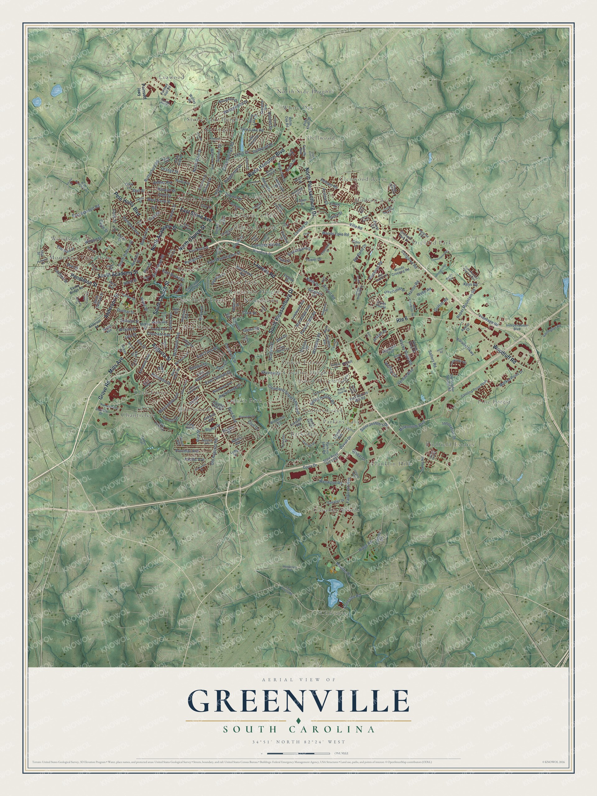
A new map of Greenville, South Carolina, made in 2026 and printed to order on thick archival matte paper.
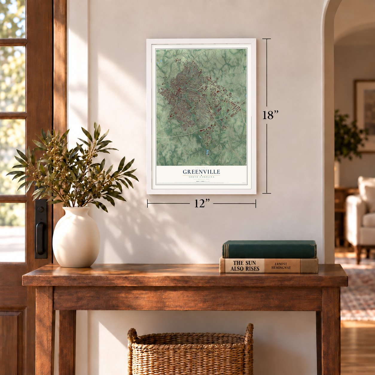
12" x 18" Archival Matte Print
A Map of Home. A Work of Art.
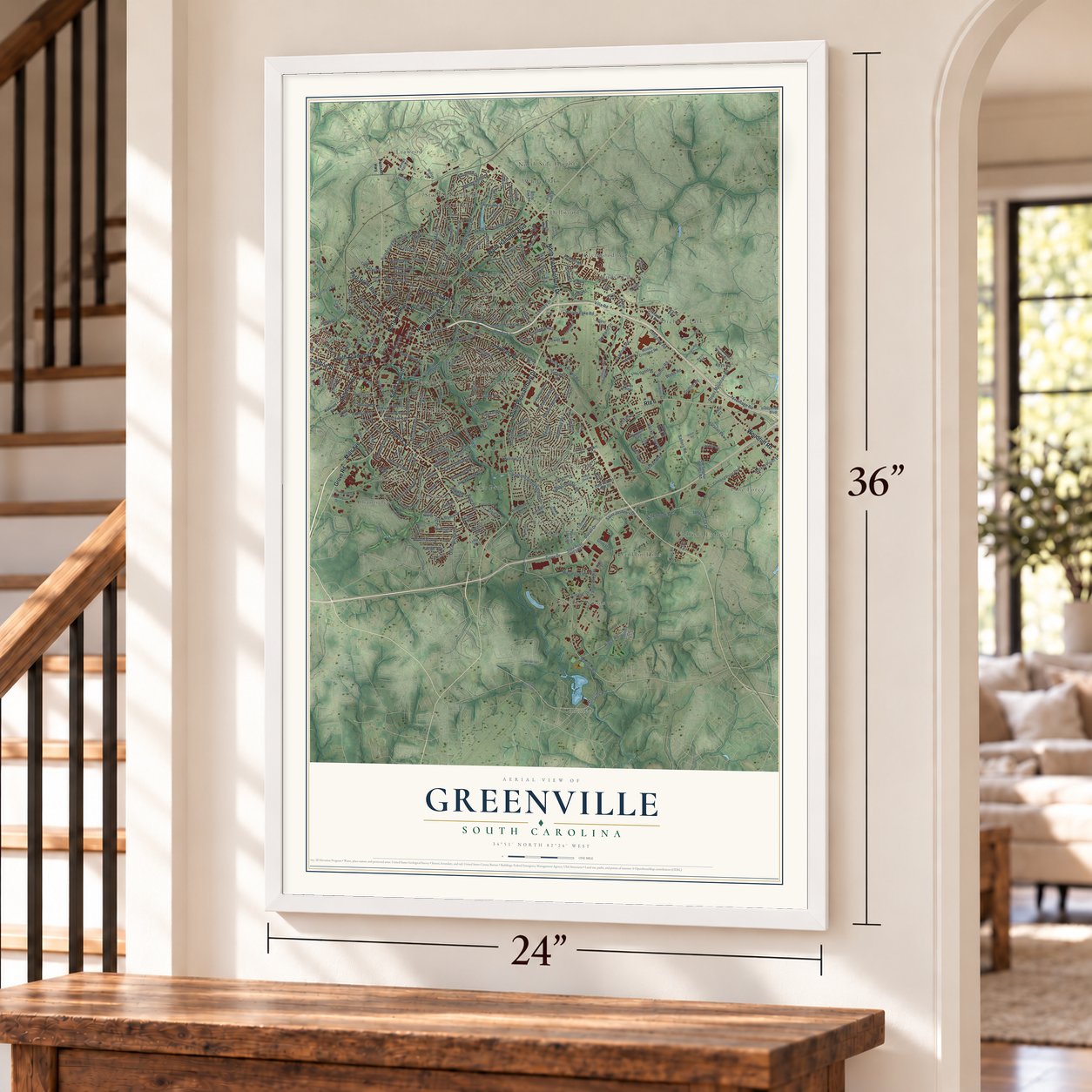
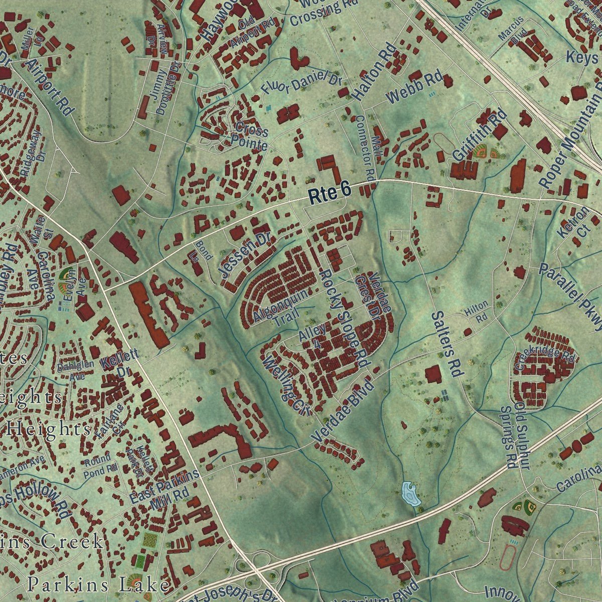
Explore Greenville, South Carolina from a whole new perspective. Created using aerial imagery and detailed geographic data, this map captures Greenville building by building, with labeled streets, familiar landmarks, and shaded topographical relief that highlights the natural contours of the landscape.
Combining modern data with the timeless character of a vintage atlas, this map is just as interesting up close as it is beautiful on the wall. Whether you grew up in Greenville, spent memorable years there, or call it home today, this unique map is a great way to celebrate a place that means something to you. Zoom in on the preview to look for your street, and then order a print to put your memories on the wall.
Three ways to hang it
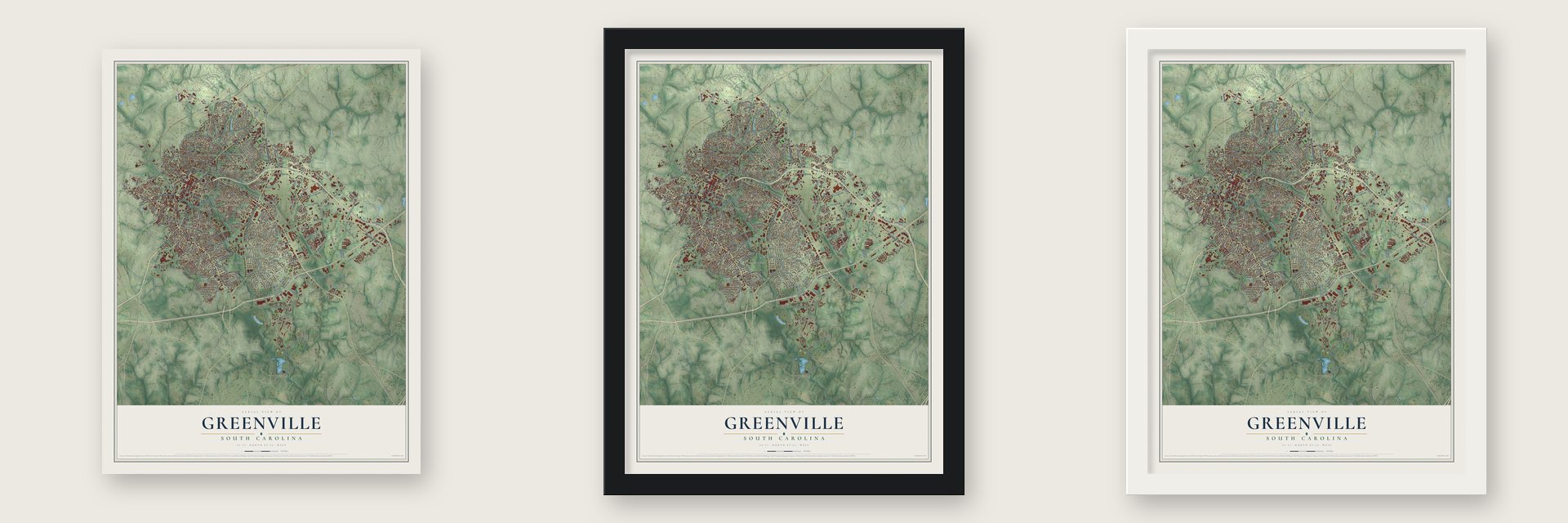
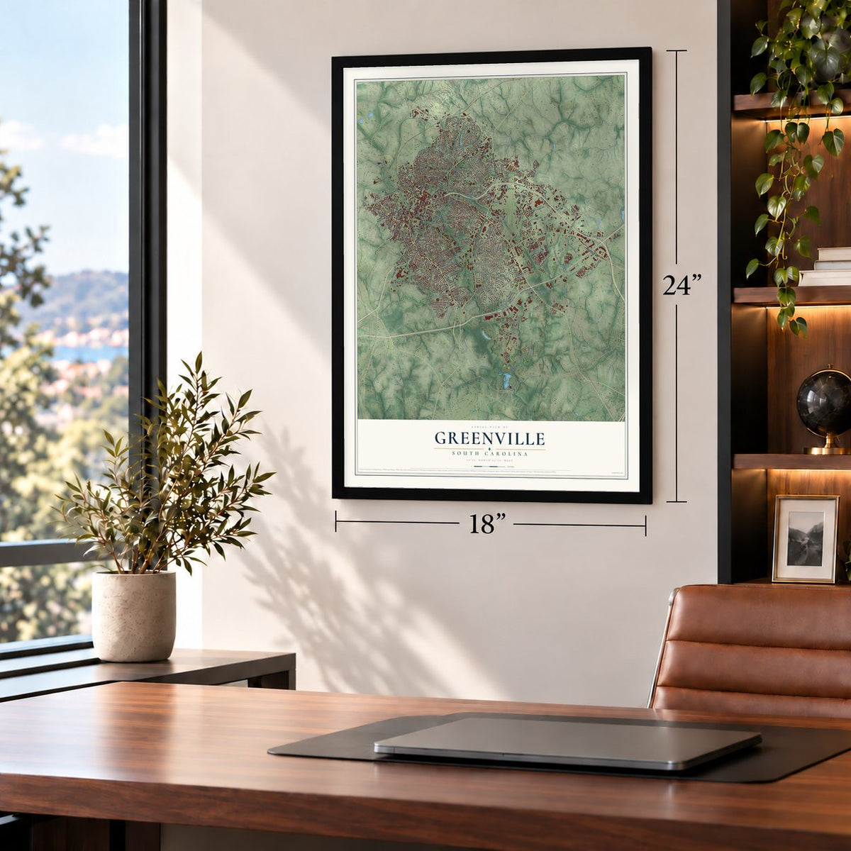
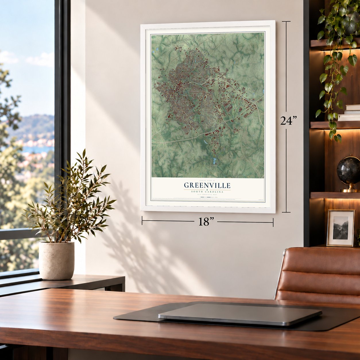
Unframed archival matte, a black wood frame or a white wood frame.
Up close
Geography Worth Displaying
This map was created using accurate cartographic data and authoritative geographic sources, including the U.S. Geological Survey and the Census Bureau. The map brings together terrain, waterways, roads, and building detail. The majority of the streets are labeled, houses are accurately depicted, and the topography is derived from government sources. Combining local data with carefully composed color and shading leads to this beautifully detailed Greenville artwork for your wall.
Rather than simply showing street outlines, we’ve included as many of the street names as we could reasonably fit on the map while keeping their names legible. Zoom in on the high resolution preview to see exactly what’s on the map. We truly set out to create a statement piece for anyone who loves Greenville. So whether it’s for you, or a gift for someone you love, we hope this map of Greenville brings back fond memories.
Read the story behind this map of Greenville, South Carolina from 2026.

About Greenville, South Carolina
Greenville is a city of 70,720 people on the Reedy River and the seat of Greenville County. The land was once a Cherokee hunting ground closed to colonists. Richard Pearis, a wealthy Virginian who came around 1754, won the Cherokee's trust, and around 1770 they gave him about 100,000 acres. He built his Great Plains plantation on the Reedy. In the Revolution he sided with the Loyalists and joined Cherokee raids on the Patriots, who burned his plantation and jailed him in Charleston. He never returned, but Paris Mountain is named for him.
The Treaty of Dewitt's Corner turned almost all Cherokee land over to South Carolina in 1777, and the state created Greenville County in 1786. Lemuel J. Alston arrived in 1788 and bought 400 acres that took in part of Pearis's old plantation. In 1797 he laid out a village there called Pleasantburg and built a grand mansion for himself. The village was renamed Greenville in 1821, was incorporated in 1831, and became a city in February 1869.
- The father of GreenvilleVardry McBee bought Alston's land in 1816 and rented out the mansion as a summer resort, then lived in it from 1835 until he died in 1864. He gave land for churches, academies and a cotton mill, paid to move Furman University here from Winnsboro in 1851, and in 1853 helped fund the Greenville & Columbia Railroad. With his gifts and its summer visitors, the town grew to around 1,000 people in the 1850s.
- Textile Center of the SouthIn the 1870s Greenville got a bridge over the Reedy, new mills along the river and new railroads, and in 1872 the National Bank of Greenville opened as the first national bank in South Carolina. Cotton mills mattered most, and by 1915 people called Greenville the "Textile Center of the South." The city hosted the Southern Textile Exposition, a trade fair for the industry, from 1915 to 2004.
- Falls Park and Liberty BridgeFor four decades the Camperdown Bridge crossed Reedy Falls. In the late 1990s it was torn down and the falls were remade as Falls Park, and the Liberty Bridge, finished there in 2004, became one of the city's best-known landmarks. In 2010 the city opened the Swamp Rabbit Trail on an old railroad line.
- Michelin comes in 1984Bill Workman, elected mayor in 1983, made new business his first goal. Working with the chamber of commerce, he convinced Michelin in 1984 to make Greenville the home of its North American headquarters, and many other companies followed. In 1994 BMW opened its first factory outside Germany, between Greenville and Spartanburg.
Find your street
Names on the Greenville map
Every name below is printed on this map. Look for your street, your school, the park where you played, or the pond down the road.
Places and landmarks37
- Unity Park
- Alta Vista
- Barksdale
- Birdfield Estates
- Boyce Lawn
- Carver Park
- Cavalier Heights
- Cavalier Woods
- Chanticleer
- Cleveland Forest
- Club Forest
- College Heights
Show all 37 places
- Collins Creek
- Conestee
- Dellwood
- Elleston Acres
- Franklin Hills
- Glenwood Acres
- Gower Estates
- Hudson Acres
- Isaqueena Park
- Isbell Heights
- Knollwood
- Leawood
- Mountain View Homes
- Nicholtown
- North Hills
- North Side Heights
- Northgate
- Orchard Park
- Parkins Lake
- Pine Forest
- Roosevelt Heights
- Stone Lake Heights
- Traxler Park
- White Oak
- Woodside
Streets and roads312
- Laurens Road
- Augusta Street
- East Stone Avenue
- North Pleasantburg Drive
- Pendleton Street
- Woodruff Road
- South Pleasantburg Drive
- Wade Hampton Boulevard
- Grove Road
- South Church Street
- South Academy Street
- North Church Street
- North Academy Street
- Mills Avenue
- Pete Hollis Boulevard
- Anderson Street
- Route 6
- Fairforest Way
- Mauldin Road
- Innovation Drive
- Millennium Boulevard
- Potomac Avenue
- South Main Street
- Conestee Road
- Haywood Road
- North Main Street
- Rutherford Road
- Airport Road
- Rice Street
- South Hudson Street
Show all 312 streets
- Frontage Road
- Parkins Mill Road
- Cleveland Street
- Lowndes Hill Road
- Ridge Road
- Pelham Road
- Verdae Boulevard
- Duvall Drive
- Summit Drive
- Dairy Drive
- East Washington Street
- Halton Road
- Keith Drive
- East Faris Road
- McDaniel Avenue
- Congaree Road
- Chick Springs Road
- Wembley Road
- Villa Road
- Townes Street
- Salters Road
- Cleveland Street Extended
- Crescent Avenue
- Woods Lake Road
- Market Point Drive
- Rocky Slope Road
- Roper Mountain Road
- Hampton Avenue
- Byrd Boulevard
- Dunbar Street
- Dellwood Drive
- Eisenhower Drive
- Faris Circle
- Don Drive
- Welling Circle
- Twin Lake Road
- Wenwood Road
- Byrdland Drive
- Jones Avenue
- Aberdeen Drive
- Howe Street
- Rock Creek Drive
- Scarlett Street
- Ashley Avenue
- Waccamaw Avenue
- Glenn Road
- Wedgewood Drive
- Club Drive
- Century Drive
- Old Augusta Road
- Croft Street
- East Bramlett Road
- Babbs Hollow Road
- Holmes Drive
- West Earle Street
- Pettigru Street
- Rhett Street
- Azalea Court
- Tower Drive
- East Tallulah Drive
- Traction Street
- Dupont Drive
- Willard Street
- East Broad Street
- Ridgecrest Drive
- Brookdale Avenue
- South Drive
- Saint Joseph's Drive
- Global Drive
- Randall Street
- Forest Lane
- Clark Street
- Sullivan Street
- Griffith Road
- Keowee Avenue
- Keys Road
- Parallel Parkway
- Orange Street
- Wilkins Street
- Jessen Drive
- Elm Street
- Stewart Street
- Skyview Drive
- Lotus Court
- Otis Street
- Pacific Avenue
- Blythe Drive
- Viola Street
- Butler Avenue
- Webb Road
- Stall Street
- Doe Street
- Cook Street
- Cagle Street
- Dera Street
- Circle
- Poinsett Highway
- East North Street
- River Street
- East Main Street
- Becker Street
- West Faris Road
- Pimlico Road
- East Parkins Mill Road
- Carolina Point Parkway
- Old Sulphur Springs Road
- Perry Avenue
- Independence Boulevard
- State Road S-23-921
- Woodlark Street
- Bennett Street
- Carolina Avenue
- Cleveland Park Drive
- Algonquin Trail
- Green Avenue
- Woods Crossing Road
- White Oak Road
- Lake Forest Drive
- Buist Avenue
- Worley Road
- Parkins Lake Road
- Long Hill Street
- White Oak Drive
- Sycamore Drive
- Batesview Drive
- Garlington Road
- Dallas Road
- Orchard Park Drive
- Stone Lake Drive
- Oscar Street
- Broughton Drive
- Doctors Drive
- Alameda Street
- Belmont Avenue
- Lanneau Drive
- Woodvale Avenue
- Boxwood Lane
- Westview Avenue
- Cavalier Drive
- Tindal Avenue
- Fluor Daniel Drive
- Hillside Drive
- Watts Avenue
- Dogwood Lane
- Landwood Avenue
- Verdae Crest Drive
- Rebecca Street
- South Calhoun Street
- Beechwood Avenue
- Furman Hall Road
- Eastlan Drive
- Country Club Drive
- East Augusta Place
- Westfield Street
- Guess Street
- Timrod Way
- Piper Lane
- Loblolly Circle
- Twinbrook Drive
- Pointe Circle
- Profs Place
- Vardry Street
- Ketron Court
- Iola Street
- Phillips Lane
- Sewanee Avenue
- Fontaine Road
- Fisher Drive
- Paris View Drive
- Cross Pointe
- Faculty Row
- Oakland Drive
- Douglas Drive
- Windmont Drive
- Prince Avenue
- Waters Avenue
- Aisha Street
- Alley 4
- Amherst Avenue
- Kim Street
- Pine Knoll Drive
- Cary Street
- Hope Street
- Kellett Drive
- Lewis Drive
- Crest Lane
- McKay Street
- Ben Street
- East Drive
- Lydia Street
- Ivy Street
- Overbrook Road
- East Park Avenue
- Riverside Drive
- Creekridge Road
- Mohawk Drive
- Spartanburg Street
- Mall Connector Road
- Club Forest Lane
- Gower Street
- Quail Hill Drive
- West Circle Avenue
- McDonald Street
- International Drive
- Capers Street
- Old Airport Road
- Enterprise Boulevard
- Princeton Avenue
- Park Green Drive
- Buena Vista Street
- McPherson Lane
- Oakview Drive
- Jimmy Doolittle Drive
- Exposition Drive
- Deoyley Avenue
- Henderson Avenue
- Fork Shoals Road
- Catlin Circle
- Prescott Street
- Wood Pointe Drive
- West Tallulah Drive
- Fairlane Circle
- Ridgeway Drive
- Lady Marian Lane
- Zora Drive
- James Street
- Essex Court
- Evelyn Avenue
- Dixie Avenue
- Conway Drive
- Happy Avenue
- Mount Vere Drive
- Bethel Street
- Furman Hall Court
- Hall Street
- Garden Trail
- Waite Street
- Quail Run
- United Way
- Easley Bridge Road
- Anderson Road
- West Washington Street
- Smythe Street
- Rockingham Road
- Roper Mountain Road Extended
- Lakehurst Street
- Isbell Lane
- Crystal Springs Road
- Lloyd Street
- Douthit Street
- Commonwealth Drive
- Round Pond Road
- Saint Francis Drive
- Shemwood Lane
- Oscala Drive
- Kellett Park Drive
- Laurens View Road
- Pearl Avenue
- Covey Hill Lane
- Arbutus Trail
- Service Drive
- Mission Street
- Richland Way
- Dameron Avenue
- Pendleton Road
- Lowther Hall Lane
- North Spring Street
- Dahlglen Avenue
- Andrews Street
- Primrose Lane
- Mayfair Lane
- Bond Lane
- Pinehurst Drive
- Gates Street
- Arcadia Drive
- Airview Drive
- Logan Knoll Lane
- Miller Lane
- Forest Street
- Marcus Boulevard
- Boggs Street
- Hilton Road
Names are listed as they appear on the printed map. Zoom into the product photos to find them.
The art of mapping a place
How This Map Was Made
Real places. Remarkable detail. Discover the layers that turn geographic data into a map of home.

The view from above
Aerial imagery reveals the character of the land: woodland, open fields, and the patterns of a place.

The shape of the land
Elevation data brings hills, valleys, and subtle changes in the landscape into view.

The details of home
Roads, waterways, and building footprints come together to make the map feel unmistakably local.

Geography becomes art
Considered color, shading, and typography bring the layers together in a map made for your wall.


Process illustrated with Mendon, Massachusetts. Aerial imagery: USDA NAIP. Terrain: USGS 3D Elevation Program. Map details and finished artwork: KNOWOL.
The Details
About This Print
Choose an archival matte print, or a black or white Ayous wood frame. The archival matte print is unframed.
Select your size and finish above to see the matching product image and price.
Materials & Craftsmanship
A contemporary map with the character of a classic atlas, printed on archival matte paper. Optional frames are made from Ayous wood.
Your printed map does not include the watermark shown in the full-map preview.
Shipping & Delivery
Free shipping within the United States. Every print is made to order in the USA.
Buying a gift? Add a note in your cart and we'll include it. We never put prices in the package.
Prints ship within 2 to 3 business days. Allow 7 to 10 days total from ordering for delivery. Timing may vary during holidays or periods of high order volume.
Read our shipping policy.
Returns and damaged prints
Each print is made to order. Change-of-mind refunds are not available after production.
If your print arrives damaged, misprinted or incorrect, contact support@knowol.com within 30 days of receiving it. Include your order number, photos and a description of the issue.
Read our full refund and replacement policy. For questions about your order, email support@knowol.com.
Find your town
Looking for another city?
Find a map of home in our South Carolina collection, or any town in the country.
Nearby
Maps of towns near Greenville
Know someone from one of these towns? Their map makes a great gift.
 Dunean
, South Carolina
From $39.99See the map
 Judson
, South Carolina
From $39.99See the map
 Wade Hampton
, South Carolina
From $39.99See the map
More maps nearby: City View, Gantt, Conestee, Mauldin and Sans Souci.