
Search for another town
Free U.S. delivery 7 to 10 days after you order
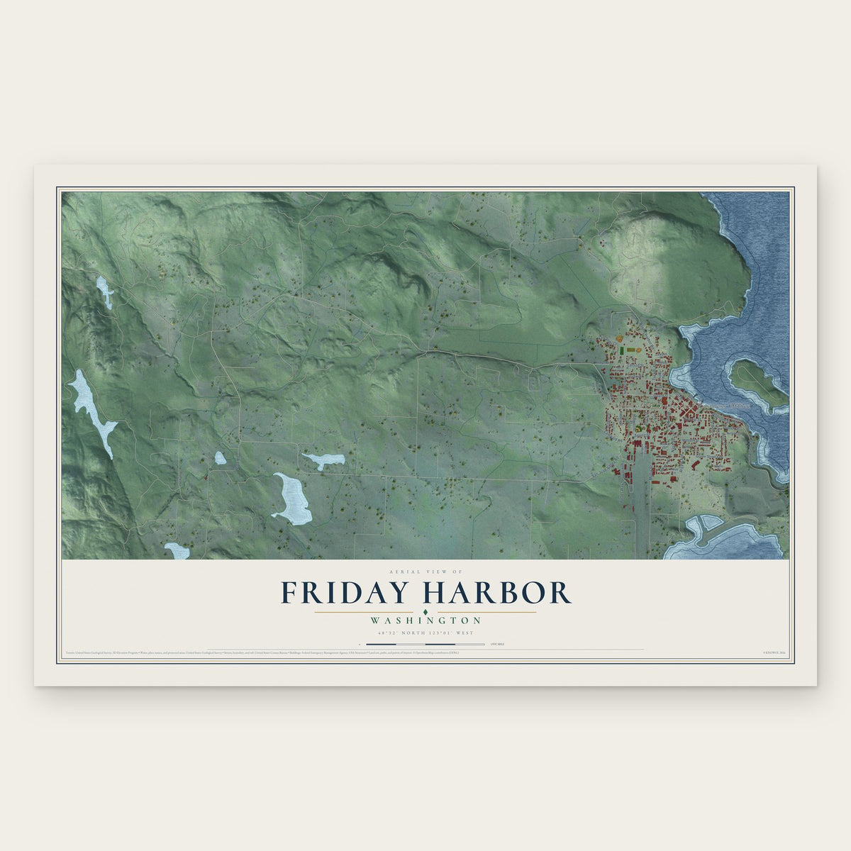
Friday Harbor, Washington Map Art
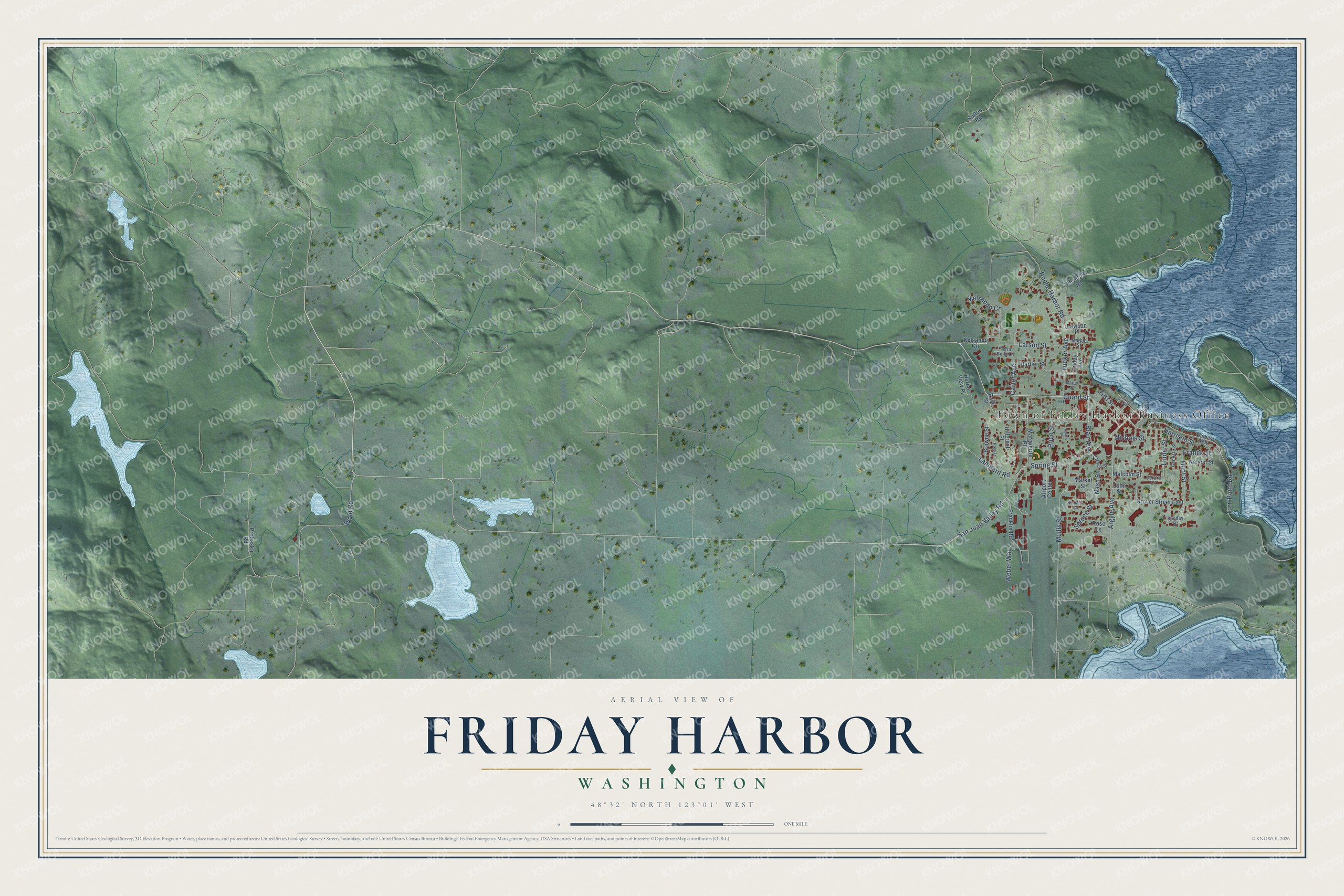
A new map of Friday Harbor, Washington, made in 2026 and printed to order on thick archival matte paper.
12" x 18" Archival Matte Print
A Map of Home. A Work of Art.
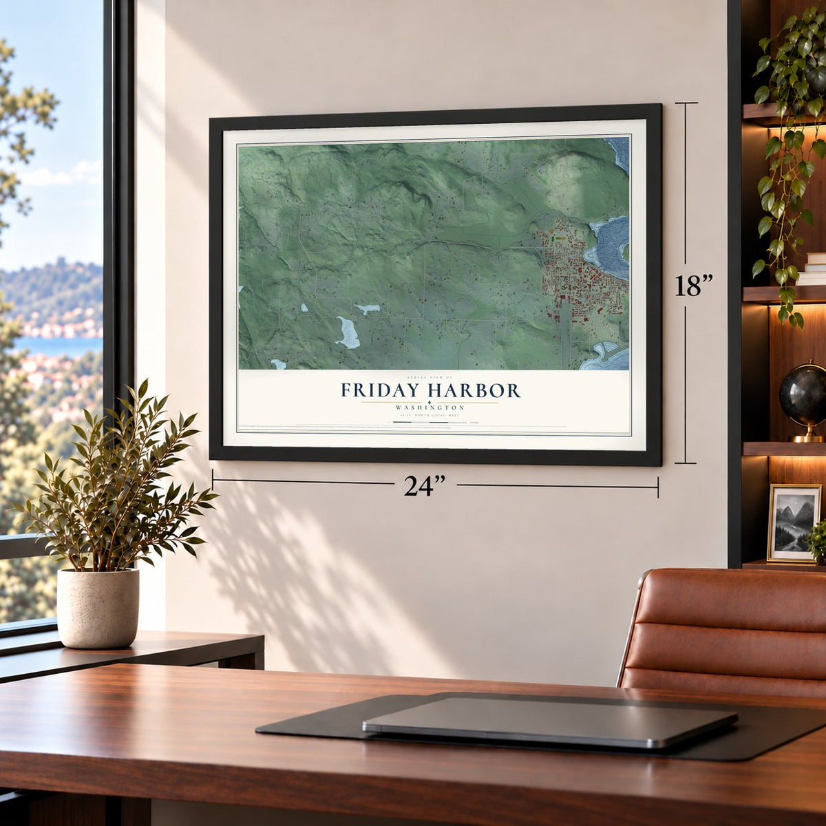
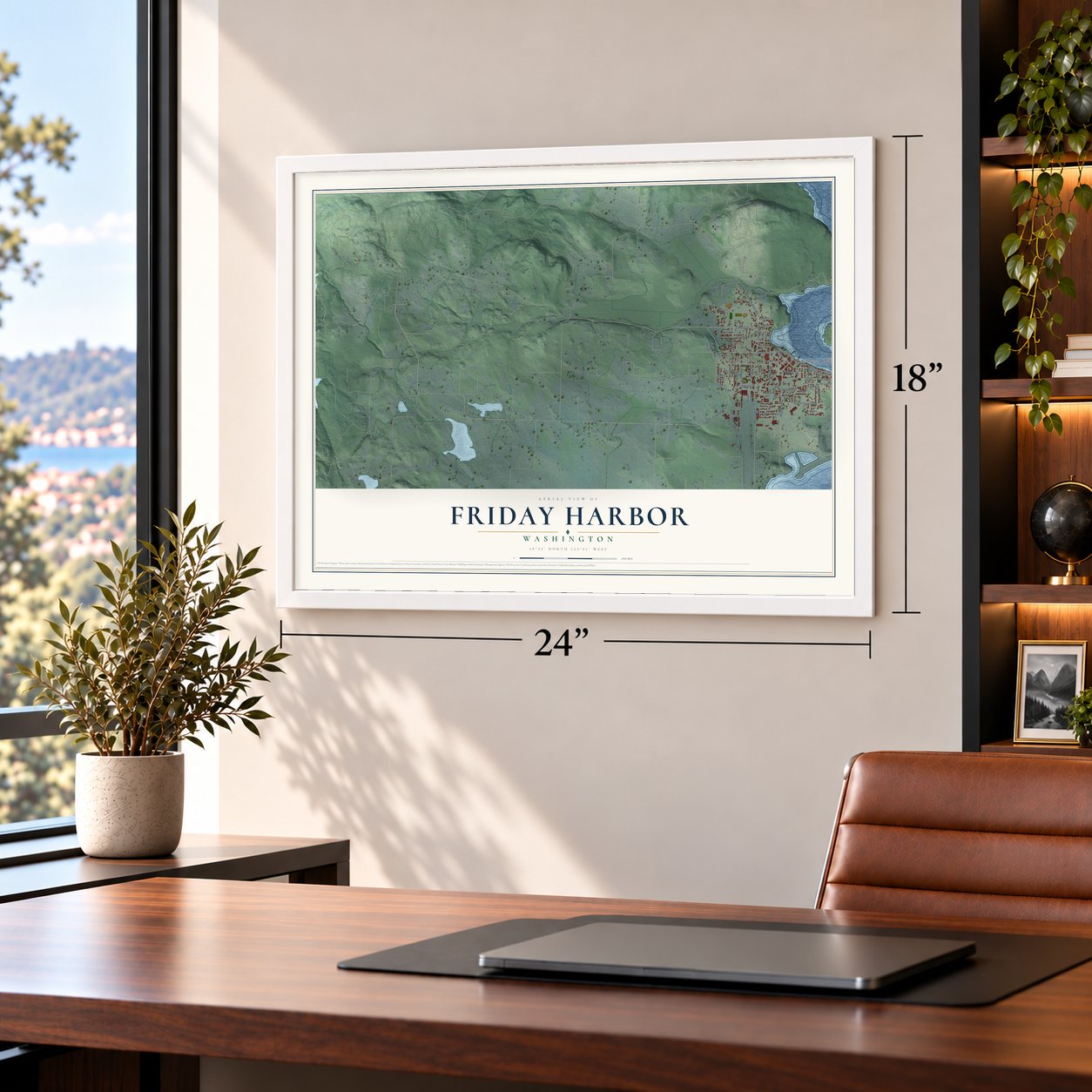
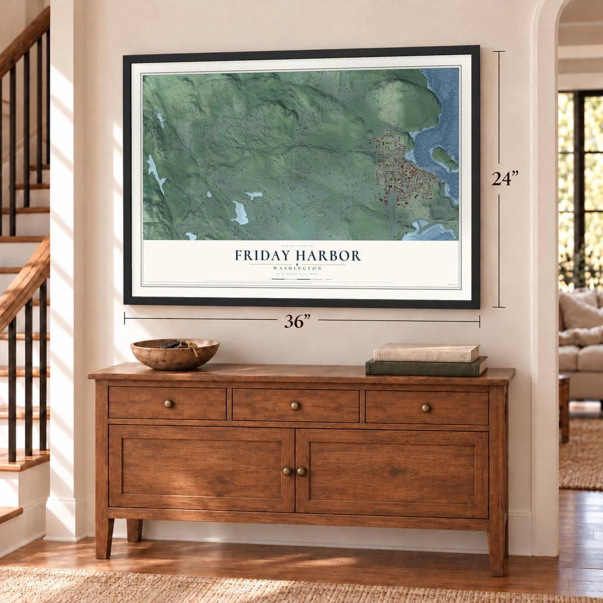
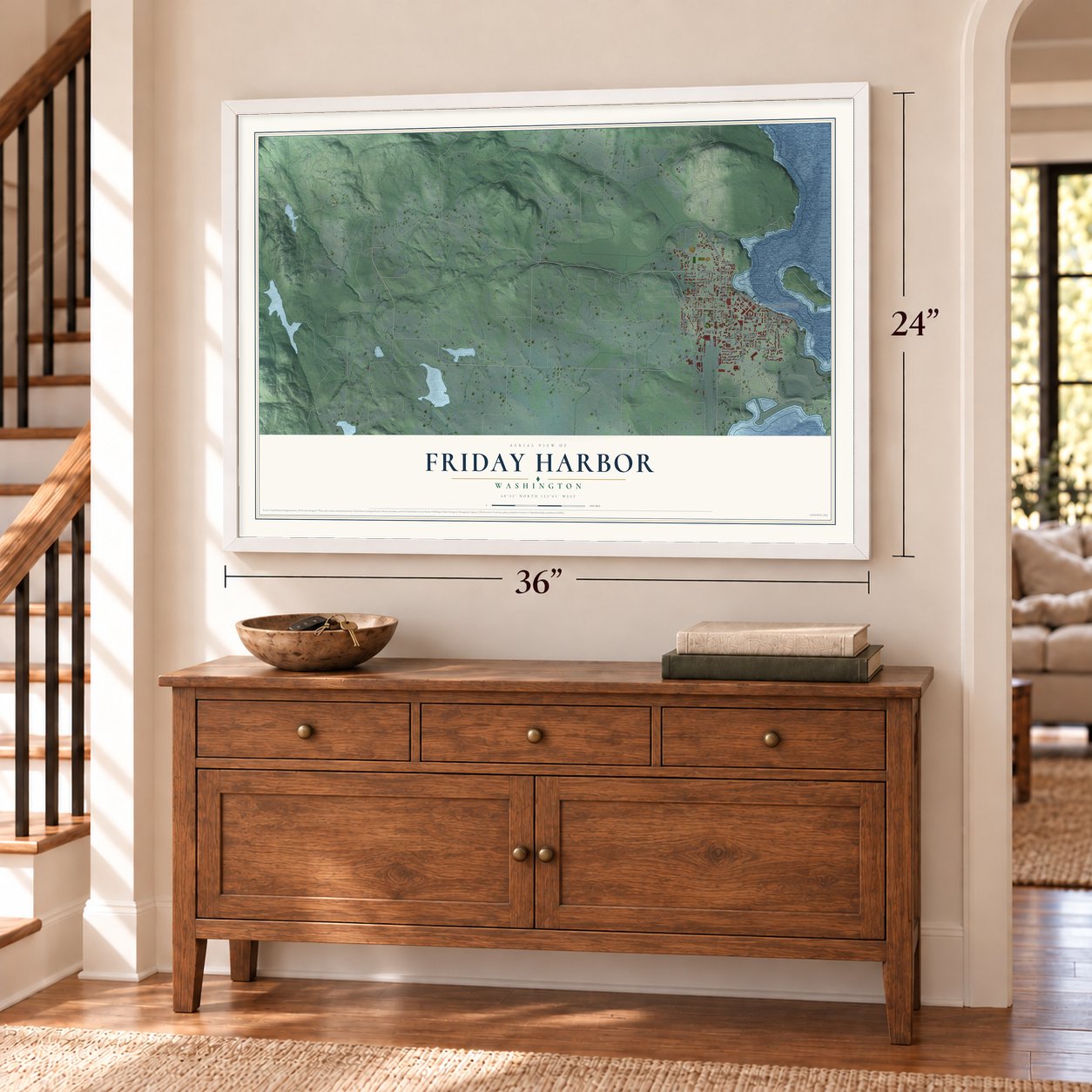
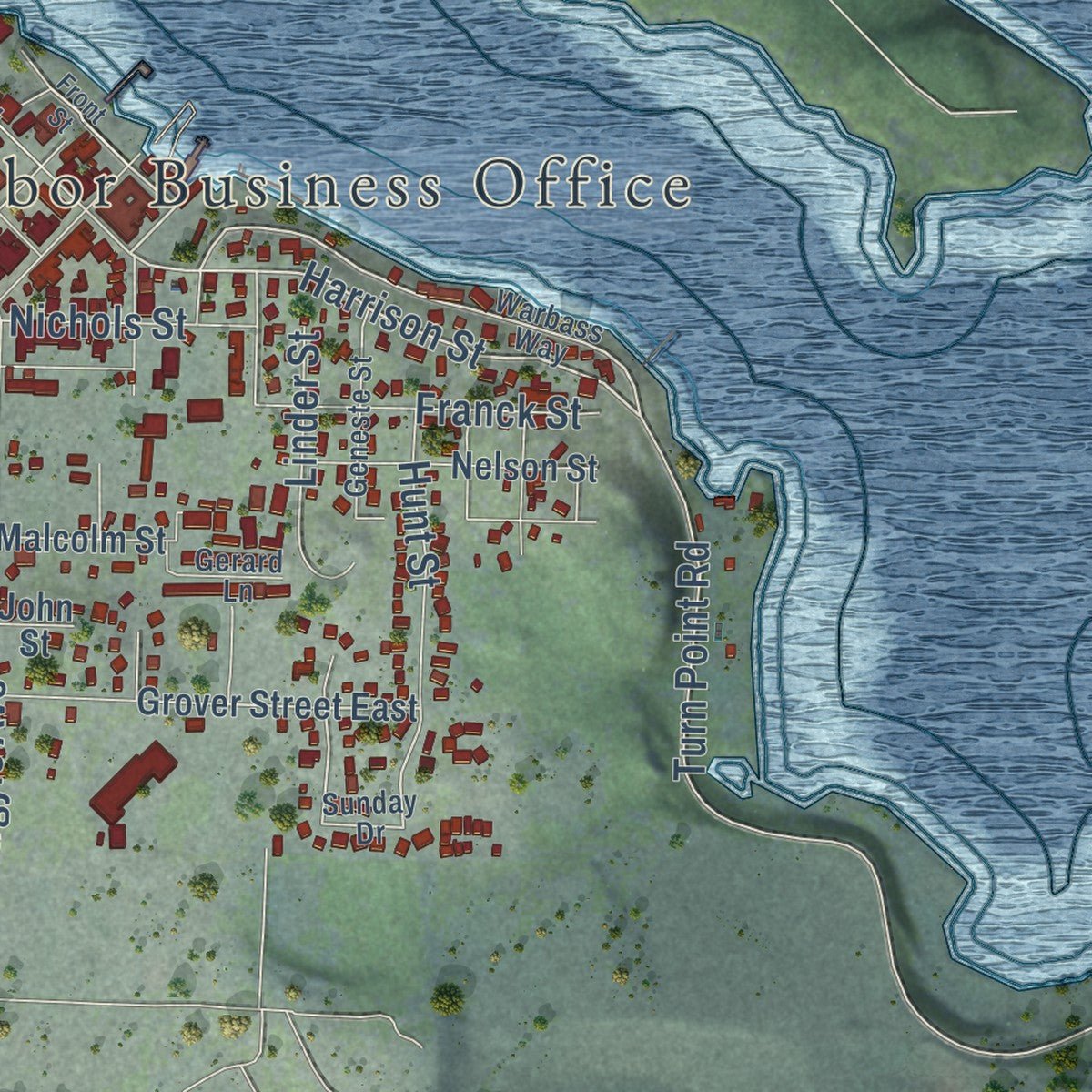
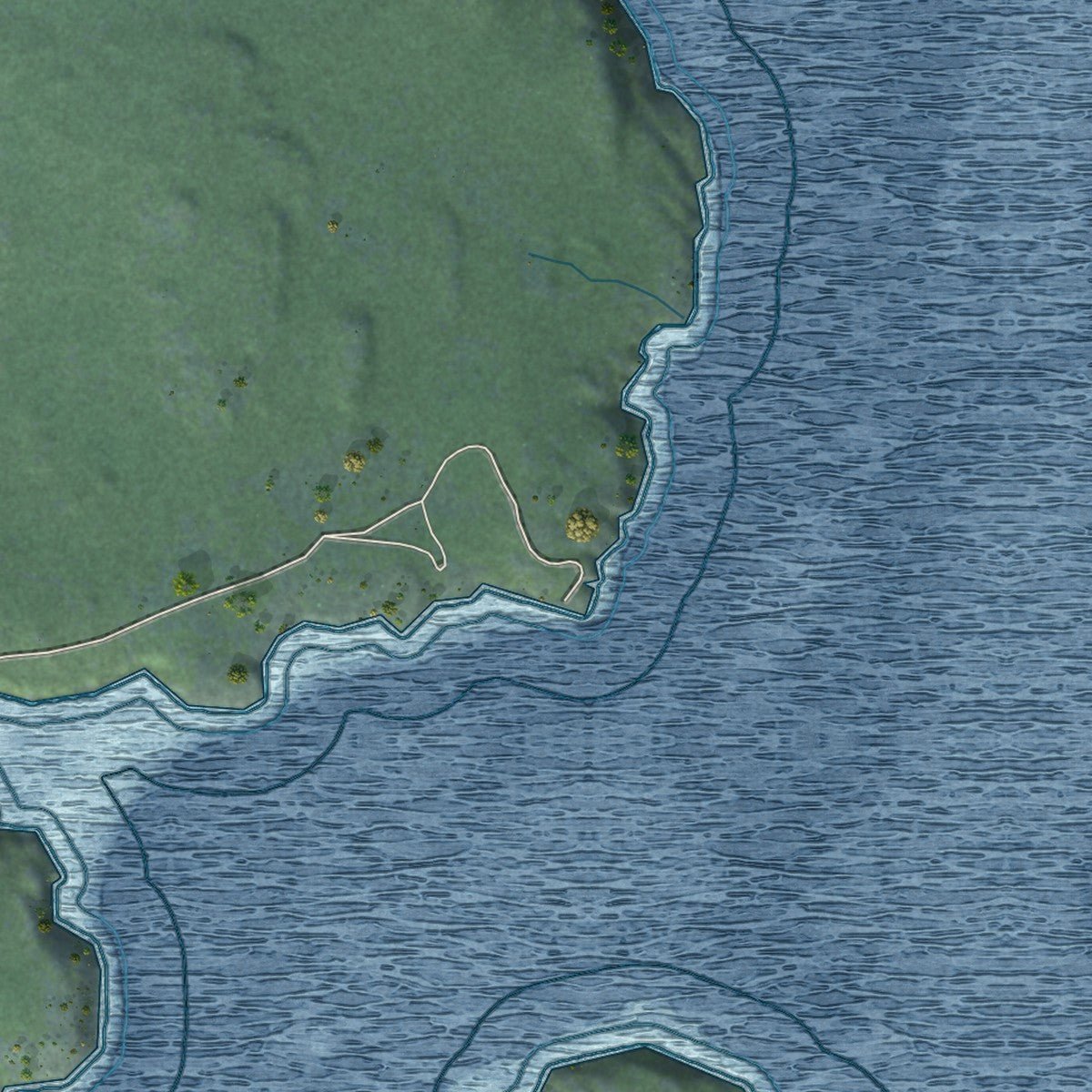
Explore Friday Harbor, Washington from a whole new perspective. Created using aerial imagery and detailed geographic data, this map captures Friday Harbor building by building, with labeled streets, familiar landmarks, and shaded topographical relief that highlights the natural contours of the landscape.
Combining modern data with the timeless character of a vintage atlas, this map is just as interesting up close as it is beautiful on the wall. Whether you grew up in Friday Harbor, spent memorable years there, or call it home today, this unique map is a great way to celebrate a place that means something to you. Zoom in on the preview to look for your street, and then order a print to put your memories on the wall.
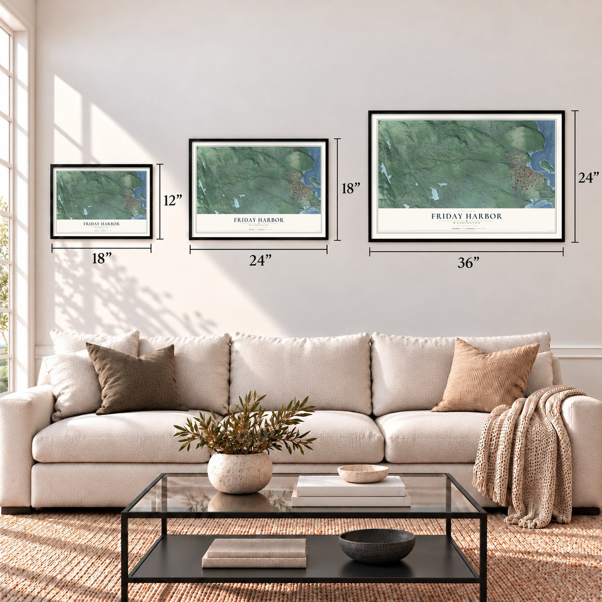
Three ways to hang it
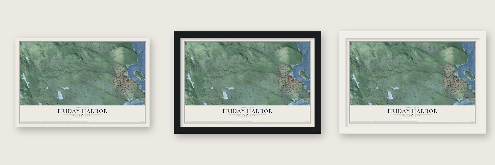
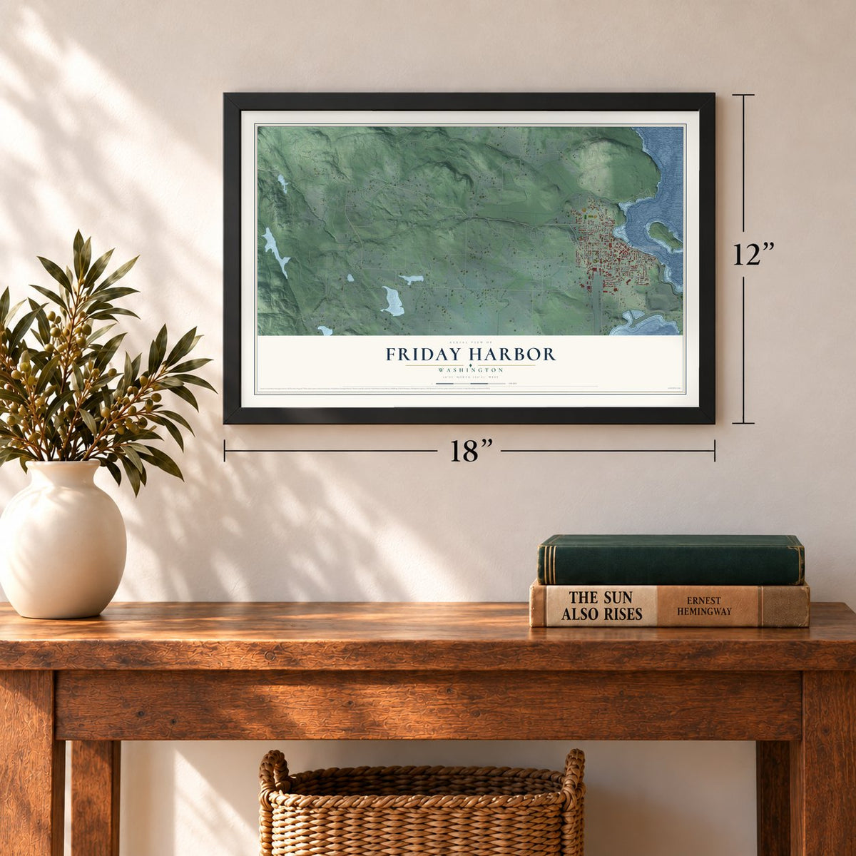
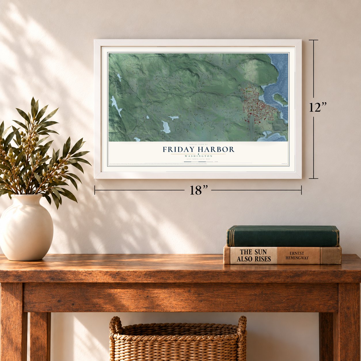
Unframed archival matte, a black wood frame or a white wood frame.
Up close
Geography Worth Displaying
This map was created using accurate cartographic data and authoritative geographic sources, including the U.S. Geological Survey and the Census Bureau. The map brings together terrain, waterways, roads, and building detail. The majority of the streets are labeled, houses are accurately depicted, and the topography is derived from government sources. Combining local data with carefully composed color and shading leads to this beautifully detailed Friday Harbor artwork for your wall.
Rather than simply showing street outlines, we’ve included as many of the street names as we could reasonably fit on the map while keeping their names legible. Zoom in on the high resolution preview to see exactly what’s on the map. We truly set out to create a statement piece for anyone who loves Friday Harbor. So whether it’s for you, or a gift for someone you love, we hope this map of Friday Harbor brings back fond memories.
Read the story behind this map of Friday Harbor, Washington from 2026.

About Friday Harbor, Washington
Friday Harbor is a town of 2,613 people on the east shore of San Juan Island, and it is the seat of San Juan County. Britain and the United States both claimed the island, so from 1860 to 1872 the U.S. Army and the Royal Marines shared it, until a ruling in 1872 gave it to the United States. Edward Warbass had first come to the island in 1859 as the Army's storekeeper, and in 1873 his petition to the territorial legislature created San Juan County.
Elected county auditor, Warbass picked the empty land on the harbor over San Juan Town, a rough place of saloons and brothels near American Camp. He claimed 160 acres as a townsite, hoping lot sales would pay for the new county government, but settlers could homestead land elsewhere for free, so nobody bought. The town finally grew in the late 1880s and 1890s, and on February 2, 1909, voters approved incorporation by 70 to 55.
“In 1859 an American, Lyman Cutler, shot a British pig, thus setting off a long standoff in which no one but the pig was killed.”
- Named for a Hawaiian shepherdThe Hudson's Bay Company hired Hawaiians to tend sheep at its Belle Vue Sheep Farm, started in 1853. One of them, listed in company records simply as Friday, ran a sheep station on the island's eastern shore, and a British surveyor put the inlet on his map as "Friday's Bay" in 1859. The shepherd took the first name Peter when he became a Catholic in 1870, and his son Joe lived with him on the harbor.
- A courthouse in a shackWarbass had a 16- by 24-foot shack built as the county courthouse, his auditor's office and his home. John Bowman of Orcas Island replaced him as auditor in 1876 and, with storeowner Joseph Sweeney, planned to buy the lots cheaply and resell them for profit, which made Warbass furious. Another ten years and a second store, with a saloon in back, passed before settlers started buying lots, at much lower prices.
- Clean water from Trout LakeThe first town council, with young bank president Gene Gould as mayor, faced a typhoid outbreak traced to a polluted well. The salmon cannery also needed 15,000 gallons of water a day in summer, so the council approved a gravity-fed system from Trout Lake, which was running by 1913. Power took longer: the lumber mill's plant burned in 1911, and steady electricity came only in the fall of 1915, from Roy Burghardt's light plant.
- Salmon on the waterfrontThe Island Packing Company opened a fish cannery on the waterfront in 1894. Pacific American Fisheries bought it five years later and built a bigger plant, which operated for a long time under the name Friday Harbor Packing Company. By 1912 it stood fifth among the 19 canneries of the Puget Sound and Northern Straits region, while island farms shipped apples, pears, plums and peas to markets at home and abroad.
- A lab and a glowing jellyfishIn 1904 the University of Washington started a marine biology field station here, led by Professors Trevor Kincaid and T. C. Frye from a small cabin south of town. Years later Osamu Shimomura gathered jellyfish off the harbor's docks and purified the proteins that make them shine green under blue light. One of them, green fluorescent protein, became a common tool for tracking activity inside living cells.
Find your street
Names on the Friday Harbor map
Every name below is printed on this map. Look for your street, your school, the park where you played, or the pond down the road.
Places and landmarks1
- Town of Friday Harbor Business Office
Streets and roads56
- Guard Street
- San Juan Valley Road
- Blair Avenue
- Harrison Street
- Linder Street
- Spring Street
- Mullis Street
- Roche Harbor Road
- Turn Point Road
- Argyle Avenue
- Carter Avenue
- Tucker Avenue
- Wold Road
- Franck Street
- Lampard Road
- Kelsando Cr
- Larson Street
- Hunt Street
- Spruce Street
- Price Street
- Nichols Street
- Weber Way
- Nash Street
- Kelsando Circle
- Grover Street East
- Park Street
- Franklin Road
- Hillcrest Place
- University Road
- Marguerite Place
Show all 56 streets
- Prohaska Road
- Harbor Street
- Nelson Street
- Rose Lane
- Harbor View Place
- Airport Center
- Browne Street
- Malcolm Street
- First Street
- Market Street
- Friday Avenue
- Sutton Road
- Lawson Place
- John Street
- Warbass Way
- Sunday Drive
- Geneste Street
- Caines Street
- Gerard Lane
- Marble Street
- Terra Bella Lane
- Martin Street
- Front Street
- Ross Lane
- Hemlock Court
- Holly Place
Names are listed as they appear on the printed map. Zoom into the product photos to find them.
The art of mapping a place
How This Map Was Made
Real places. Remarkable detail. Discover the layers that turn geographic data into a map of home.

The view from above
Aerial imagery reveals the character of the land: woodland, open fields, and the patterns of a place.

The shape of the land
Elevation data brings hills, valleys, and subtle changes in the landscape into view.

The details of home
Roads, waterways, and building footprints come together to make the map feel unmistakably local.

Geography becomes art
Considered color, shading, and typography bring the layers together in a map made for your wall.


Process illustrated with Mendon, Massachusetts. Aerial imagery: USDA NAIP. Terrain: USGS 3D Elevation Program. Map details and finished artwork: KNOWOL.
The Details
About This Print
Choose an archival matte print, or a black or white Ayous wood frame. The archival matte print is unframed.
Select your size and finish above to see the matching product image and price.
Materials & Craftsmanship
A contemporary map with the character of a classic atlas, printed on archival matte paper. Optional frames are made from Ayous wood.
Your printed map does not include the watermark shown in the full-map preview.
Shipping & Delivery
Free shipping within the United States. Every print is made to order in the USA.
Buying a gift? Add a note in your cart and we'll include it. We never put prices in the package.
Prints ship within 2 to 3 business days. Allow 7 to 10 days total from ordering for delivery. Timing may vary during holidays or periods of high order volume.
Read our shipping policy.
Returns and damaged prints
Each print is made to order. Change-of-mind refunds are not available after production.
If your print arrives damaged, misprinted or incorrect, contact support@knowol.com within 30 days of receiving it. Include your order number, photos and a description of the issue.
Read our full refund and replacement policy. For questions about your order, email support@knowol.com.
Find your town
Looking for another city?
Find a map of home in our Washington collection, or any town in the country.
Nearby
Maps of towns near Friday Harbor
Know someone from one of these towns? Their map makes a great gift.
 Roche Harbor
, Washington
From $39.99See the map
 Anacortes
, Washington
From $39.99See the map
 Whidbey Island Station
, Washington
From $39.99See the map
More maps nearby: Oak Harbor, Bay View, La Conner, Coupeville and Edison.