
Search for another town




Free U.S. delivery 7 to 10 days after you order
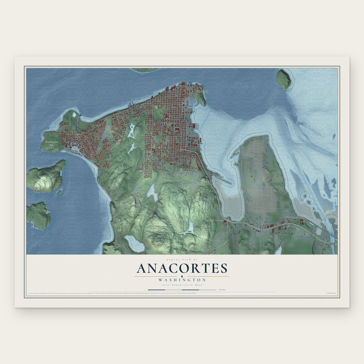
Anacortes, Washington Map Art
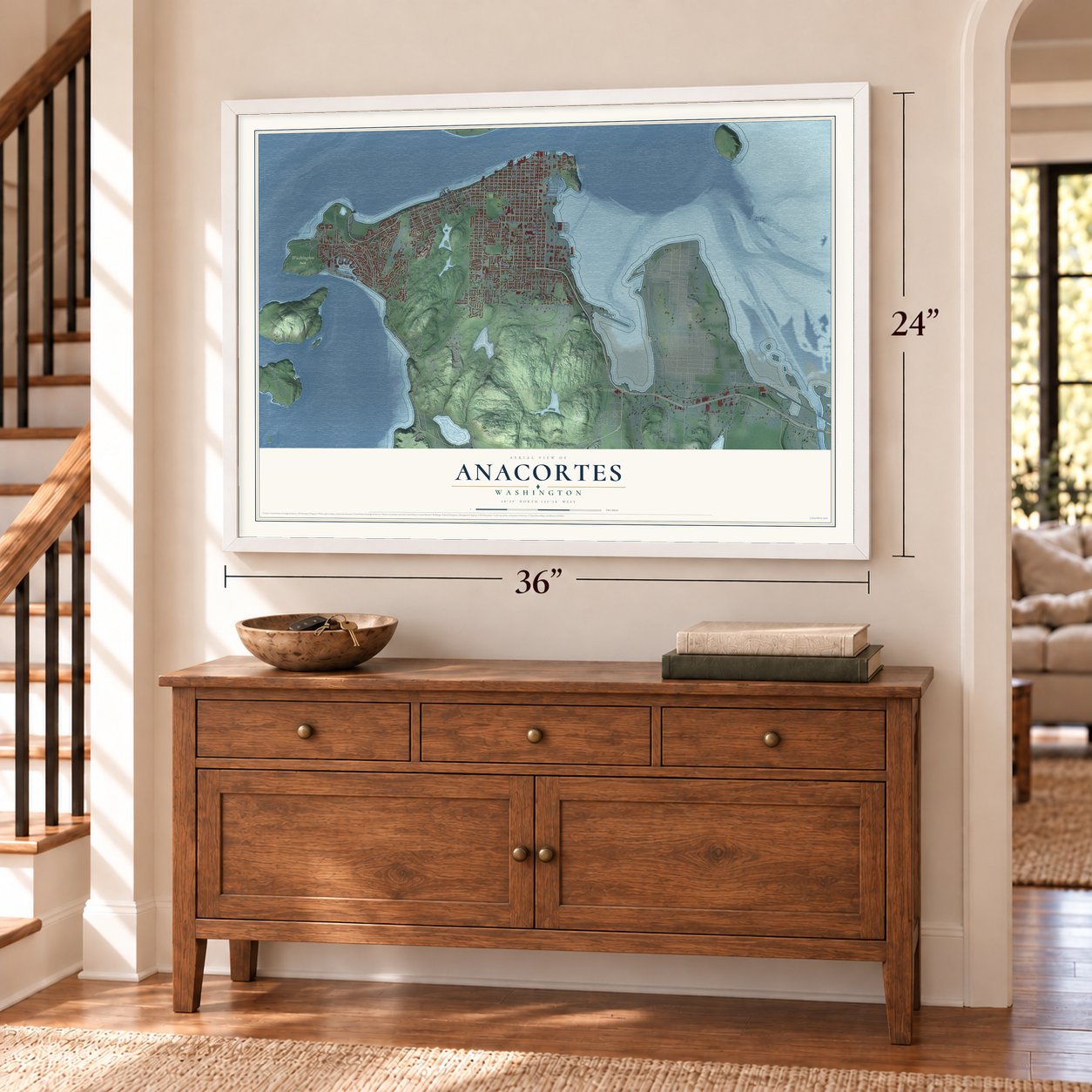
A new map of Anacortes, Washington, made in 2026 and printed to order on thick archival matte paper.
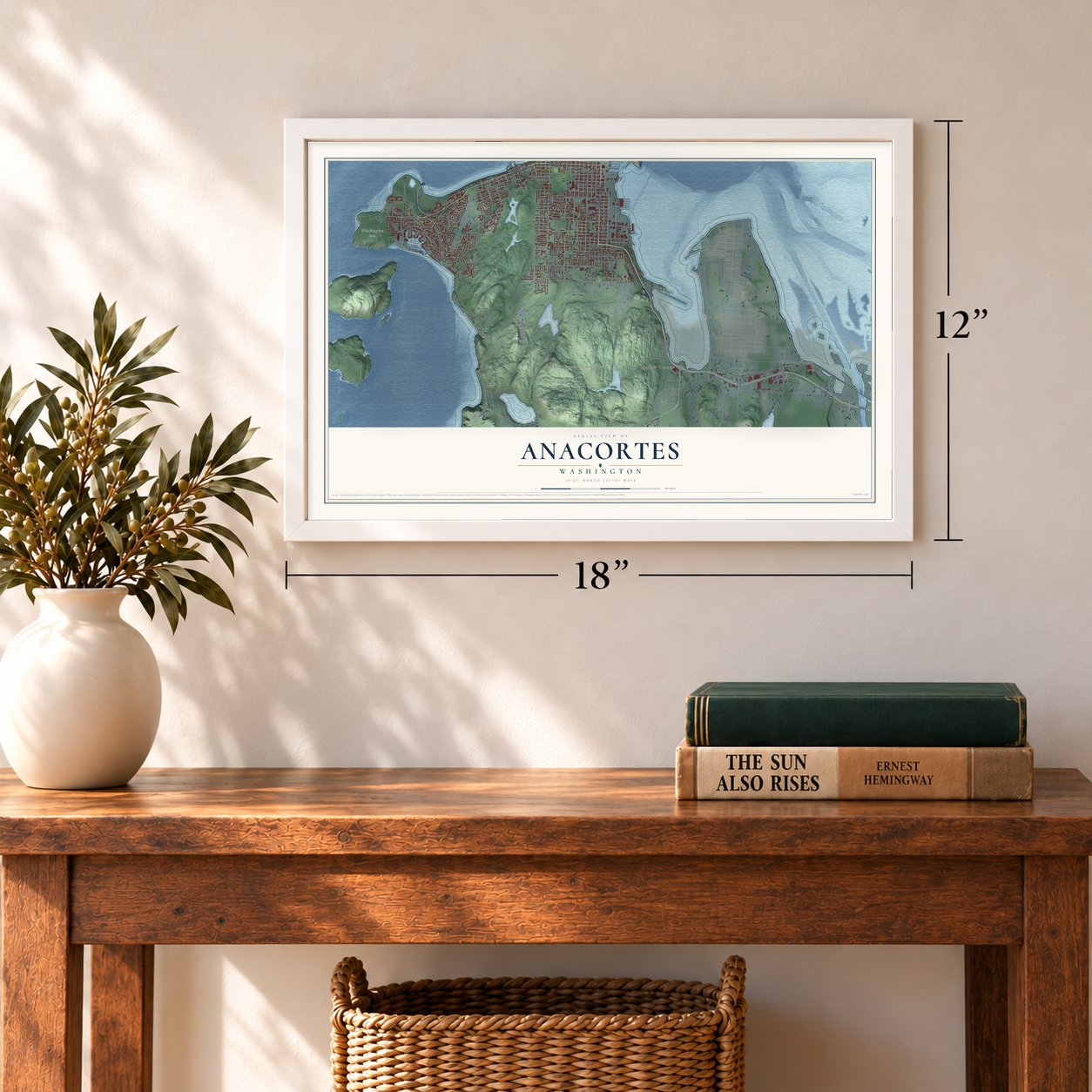
12" x 18" Archival Matte Print
A Map of Home. A Work of Art.
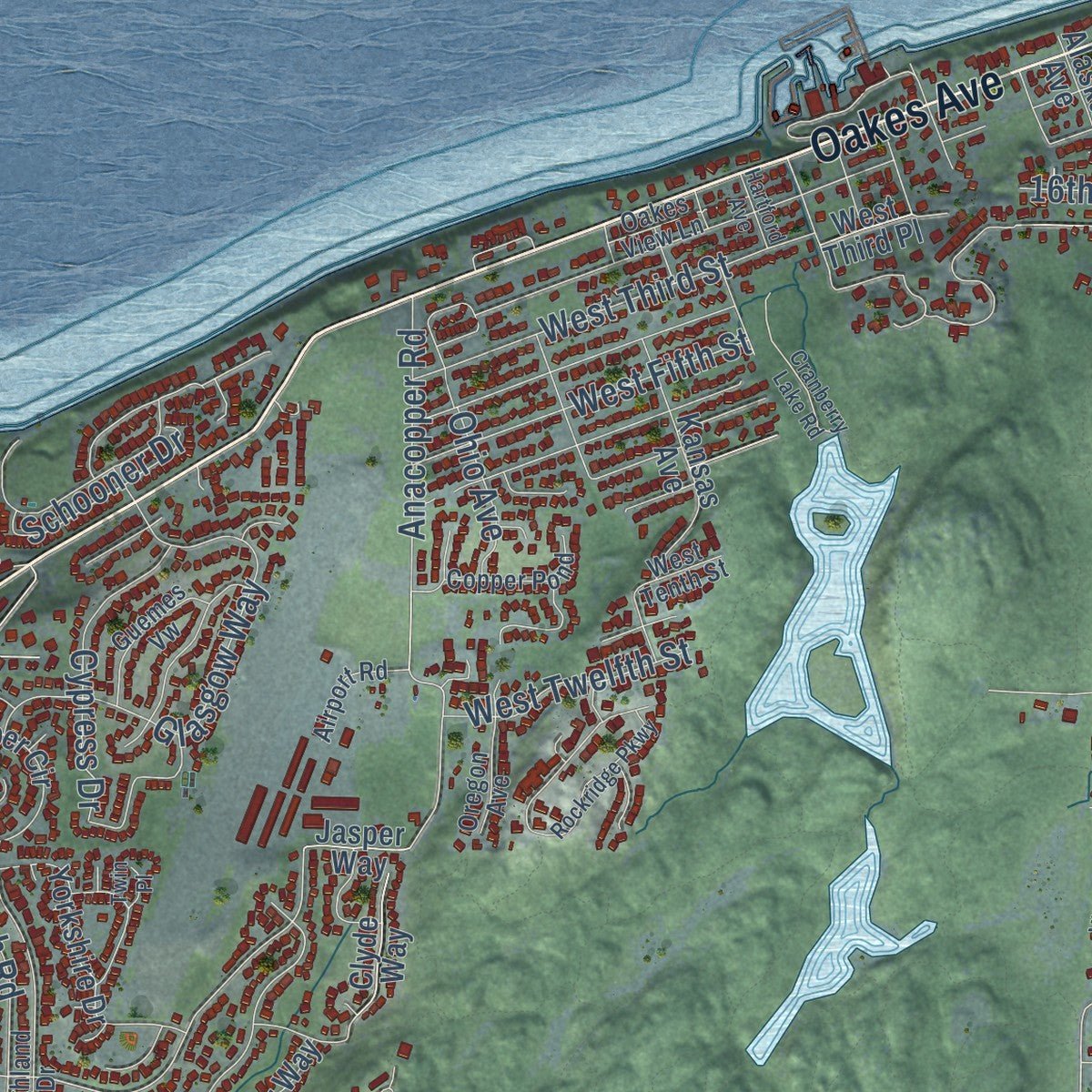
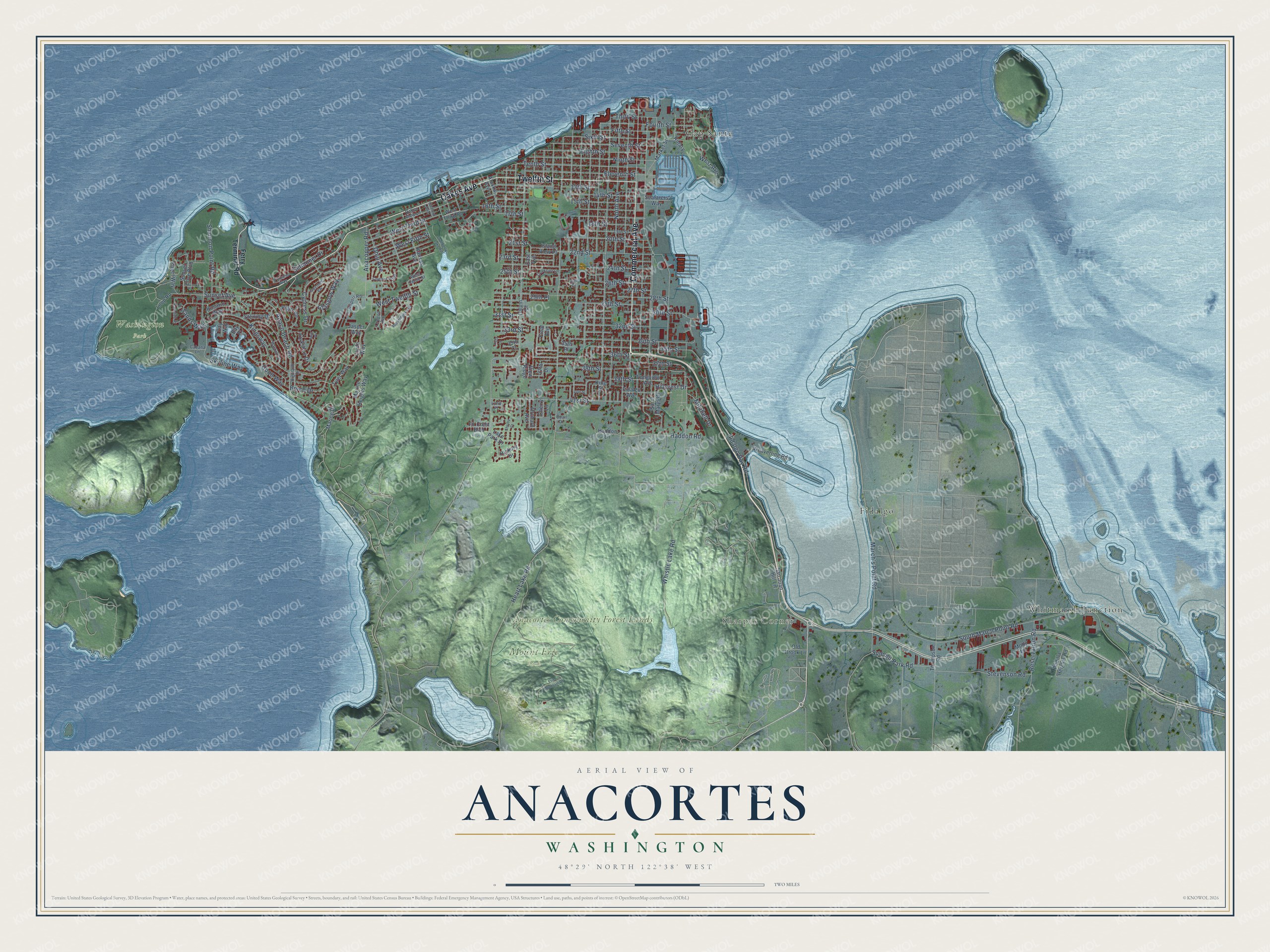
Explore Anacortes, Washington from a whole new perspective. Created using aerial imagery and detailed geographic data, this map captures Anacortes building by building, with labeled streets, familiar landmarks, and shaded topographical relief that highlights the natural contours of the landscape.
Combining modern data with the timeless character of a vintage atlas, this map is just as interesting up close as it is beautiful on the wall. Whether you grew up in Anacortes, spent memorable years there, or call it home today, this unique map is a great way to celebrate a place that means something to you. Zoom in on the preview to look for your street, and then order a print to put your memories on the wall.
Three ways to hang it
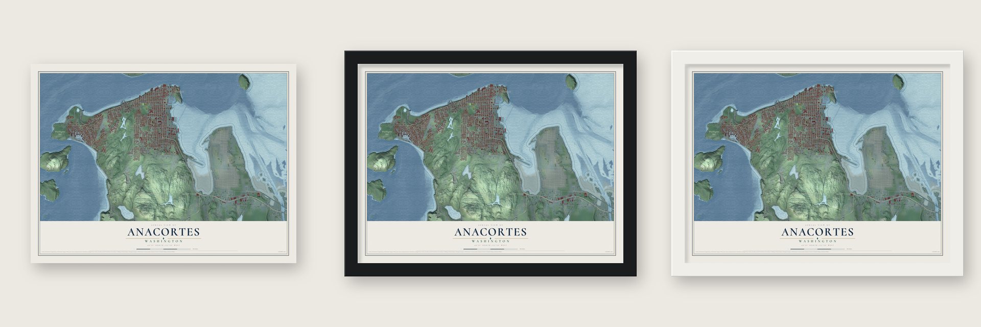
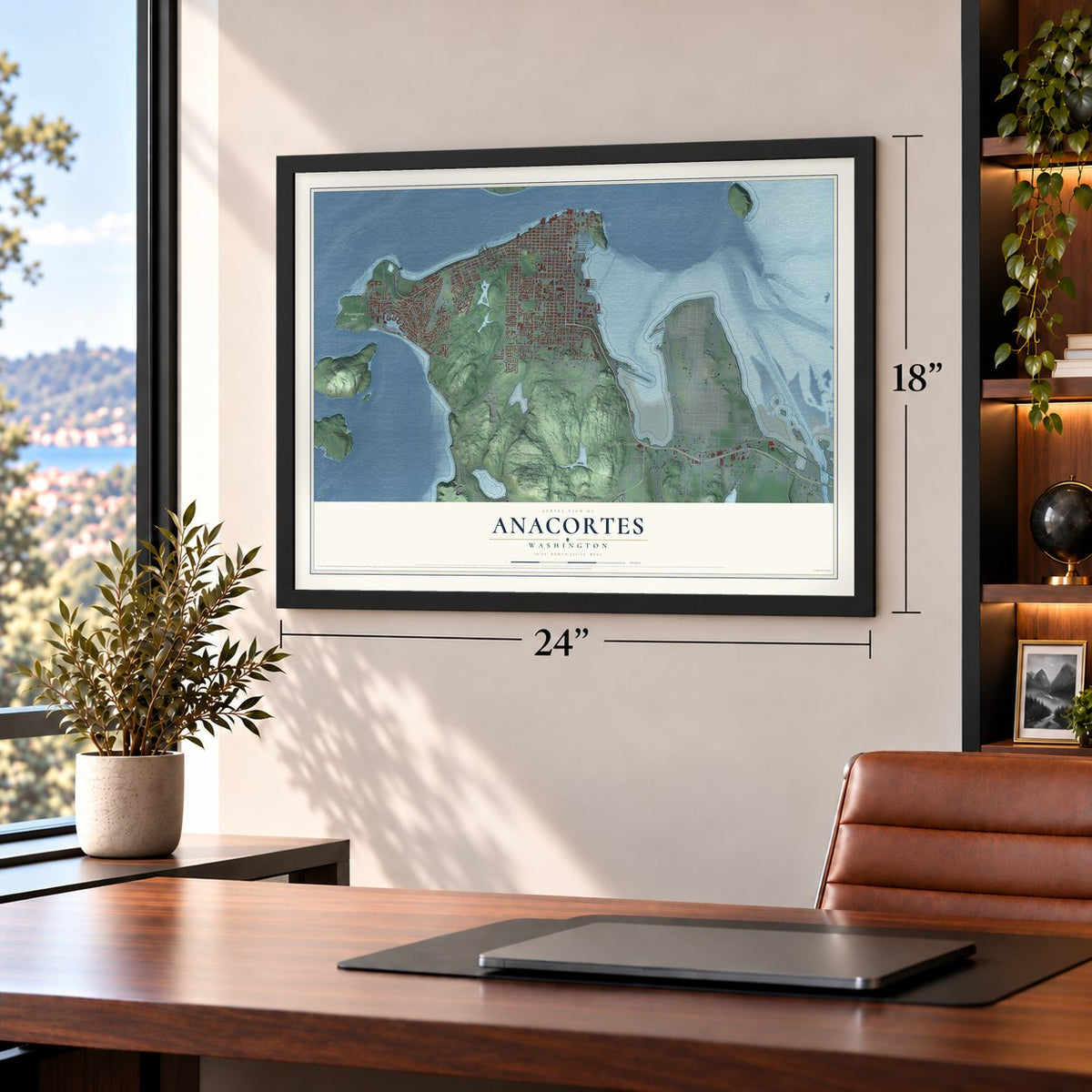
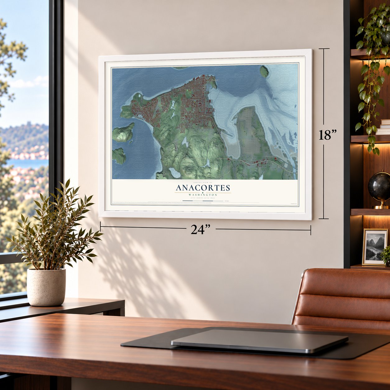
Unframed archival matte, a black wood frame or a white wood frame.
Up close
Geography Worth Displaying
This map was created using accurate cartographic data and authoritative geographic sources, including the U.S. Geological Survey and the Census Bureau. The map brings together terrain, waterways, roads, and building detail. The majority of the streets are labeled, houses are accurately depicted, and the topography is derived from government sources. Combining local data with carefully composed color and shading leads to this beautifully detailed Anacortes artwork for your wall.
Rather than simply showing street outlines, we’ve included as many of the street names as we could reasonably fit on the map while keeping their names legible. Zoom in on the high resolution preview to see exactly what’s on the map. We truly set out to create a statement piece for anyone who loves Anacortes. So whether it’s for you, or a gift for someone you love, we hope this map of Anacortes brings back fond memories.
Read the story behind this map of Anacortes, Washington from 2026.

About Anacortes, Washington
Anacortes is a city of 17,637 people in Skagit County, at the north tip of Fidalgo Island. Samish and other Northern Straits Salish peoples lived here for thousands of years before settlers began arriving in the 1860s. Amos Bowman moved his family to the island in 1877 and named the town for his wife, Anne Curtis. He promoted it as the natural end point for a railroad across the north Cascades.
The boom came in 1890, when the Oregon Improvement Company put up $15 million in bonds to build the town. About 40 people lived there on January 1, about 500 by the end of the month and 2,000 by the end of February. Then the company collapsed in August 1890, and with no money to pay workers, thousands left. Anacortes was incorporated on May 19, 1891, and it grew instead on lumber, fishing and fish canning. Oil companies built refineries nearby in the 1950s.
“had a splendid dining room with ... waiters in full dress and fine silver and linen for the tables”
- First called Ship HarborThe place was first known as Ship Harbor and got its name and a post office in 1879. Bowman built a small sawmill in 1882 and started the first newspaper, The Northwest Enterprise, to sell his dream of a New York of the West. Daily trains to Sedro began on August 5, 1890, but the line over the Cascades was never built.
- William Munks did it allWilliam Munks, who said he was the first permanent resident, became the community's first justice of the peace in 1863, coroner in 1866, postmaster in 1871 and notary public in 1872. He opened its first store in 1870 and still found time to build a thriving farm.
- Plank streets, a one-day trolleyDuring the boom four lumber mills ran, and so much wood came off the saws that the first streets were covered in thick planks. A brick factory supplied the business district, homes and two fine hotels. The town also built an electric trolley at great cost, but it crossed the island only on March 29, 1891, and never ran again, because there was no money for generating equipment.
- Arts and the Oyster RunLocal arts patrons started the Anacortes Arts Festival in 1962, and it fills the downtown streets on the first weekend of August. The Oyster Run motorcycle rally, begun in 1981, comes on the fourth Sunday of September and draws an estimated 15000 bikes, making it the largest rally in the Pacific Northwest.
Find your street
Names on the Anacortes map
Every name below is printed on this map. Look for your street, your school, the park where you played, or the pond down the road.
Places and landmarks7
- Sharpes Corner
- Anacortes Community Forest Lands
- Mount Erie Park
- Washington Park
- Cap Sante
- Fidalgo
- Whitmarsh Junction
Streets and roads138
- Commercial Avenue
- Twelfth Street
- Oakes Avenue
- March's Point Road
- Sunset Avenue
- Heart Lake Road
- 37th Street
- Seventh Street
- 33rd Street
- Kingsway
- 13th Street
- Sands Way
- Hillcrest Drive
- West Third Street
- 39th Street
- Bryce Drive
- South March Point Road
- Fidalgo Bay Road
- North Avenue
- Whistle Lake Road
- 32nd Street
- 17th Street
- Anaco Beach Road
- Eleventh Street
- 22nd Street
- Tenth Street
- 41st Street
- Ninth Street
- 29th Street
- 34th Street
Show all 138 streets
- 30th Street
- 24th Street
- Sixth Street
- 28th Street
- Skyline Way
- 14th Street
- 15th Street
- Fifth Street
- Eighth Street
- 38th Street
- Glasgow Way
- Doon Way
- 36th Street
- 16th Street
- Fourth Street
- 35th Street
- Stevenson Road
- 20th Street
- 26th Street
- 23rd Street
- Shannon Point Road
- 25th Street
- 31st Street
- Anacopper Road
- Third Street
- 18th Street
- West Fifth Street
- Summit Park Road
- Haddon Road
- Cypress Drive
- Reservation Road
- 21st Street
- West Avenue
- West Twelfth Street
- Schooner Drive
- 27th Street
- Mitchell Drive
- Ohio Avenue
- 29th Place
- Ferry Terminal Road
- Jasper Way
- Market Street
- San Juan Hill Lane
- Clyde Way
- 37th Drive
- Loop Road
- Marine Heights Way
- East Avenue
- Padilla Heights Road
- Yorkshire Drive
- Longview Avenue
- Weaverling Road
- Kansas Avenue
- Orchard Avenue
- Saint Marys Drive
- Hickory Drive
- Rotary
- Piper Circle
- Sterling Drive
- Marine Drive
- Alaska Avenue
- Tyler Way
- Rosario Way
- Puget Way
- Sunset Cove Boulevard
- Fidalgo Avenue
- Lake Park Drive
- Old Brook Lane
- Thompson Road
- Island View Place
- Seafarers Way
- West Third Place
- Haddon Lane
- Cherry Lane
- Fir Crest Boulevard
- King Street
- Cay Way
- Calvin Court
- Molly Lane
- View Ridge
- 35th Court
- 35th Place
- Field Avenue
- Bay Place
- Portalis Way
- Highland Drive
- 19th Street
- Guemes Vw
- Copper Pond
- Oregon Avenue
- Airport Road
- Oakes View Lane
- West Tenth Street
- Cabana Lane
- 42nd Place
- Quail Drive
- Erie Mountain Drive
- Rockridge Parkway
- Creekside Lane
- Parkside Drive
- Macbeth Drive
- Cranberry Lake Road
- Vista Lane
- Shelby Court
- 26th Circle
- Hartford Avenue
- 40th Street
- Twin Place
Names are listed as they appear on the printed map. Zoom into the product photos to find them.
The art of mapping a place
How This Map Was Made
Real places. Remarkable detail. Discover the layers that turn geographic data into a map of home.

The view from above
Aerial imagery reveals the character of the land: woodland, open fields, and the patterns of a place.

The shape of the land
Elevation data brings hills, valleys, and subtle changes in the landscape into view.

The details of home
Roads, waterways, and building footprints come together to make the map feel unmistakably local.

Geography becomes art
Considered color, shading, and typography bring the layers together in a map made for your wall.


Process illustrated with Mendon, Massachusetts. Aerial imagery: USDA NAIP. Terrain: USGS 3D Elevation Program. Map details and finished artwork: KNOWOL.
The Details
About This Print
Choose an archival matte print, or a black or white Ayous wood frame. The archival matte print is unframed.
Select your size and finish above to see the matching product image and price.
Materials & Craftsmanship
A contemporary map with the character of a classic atlas, printed on archival matte paper. Optional frames are made from Ayous wood.
Your printed map does not include the watermark shown in the full-map preview.
Shipping & Delivery
Free shipping within the United States. Every print is made to order in the USA.
Buying a gift? Add a note in your cart and we'll include it. We never put prices in the package.
Prints ship within 2 to 3 business days. Allow 7 to 10 days total from ordering for delivery. Timing may vary during holidays or periods of high order volume.
Read our shipping policy.
Returns and damaged prints
Each print is made to order. Change-of-mind refunds are not available after production.
If your print arrives damaged, misprinted or incorrect, contact support@knowol.com within 30 days of receiving it. Include your order number, photos and a description of the issue.
Read our full refund and replacement policy. For questions about your order, email support@knowol.com.
Find your town
Looking for another city?
Find a map of home in our Washington collection, or any town in the country.
Nearby
Maps of towns near Anacortes
Know someone from one of these towns? Their map makes a great gift.
 Bay View
, Washington
From $39.99See the map
 La Conner
, Washington
From $39.99See the map
 Whidbey Island Station
, Washington
From $39.99See the map
More maps nearby: Edison, Bow, Oak Harbor, Burlington and Friday Harbor.