
Search for another town





Free U.S. delivery 7 to 10 days after you order
Gainesville, Virginia Map Art
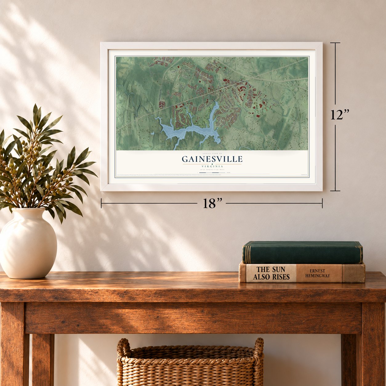
A new map of Gainesville, Virginia, made in 2026 and printed to order on thick archival matte paper.
12" x 18" Archival Matte Print
A Map of Home. A Work of Art.
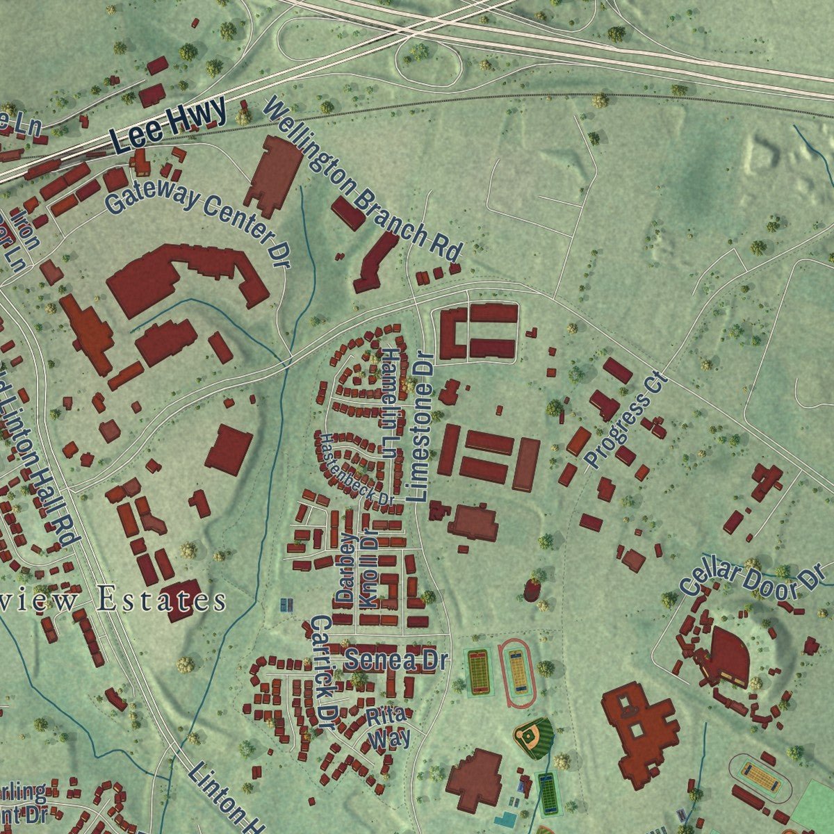
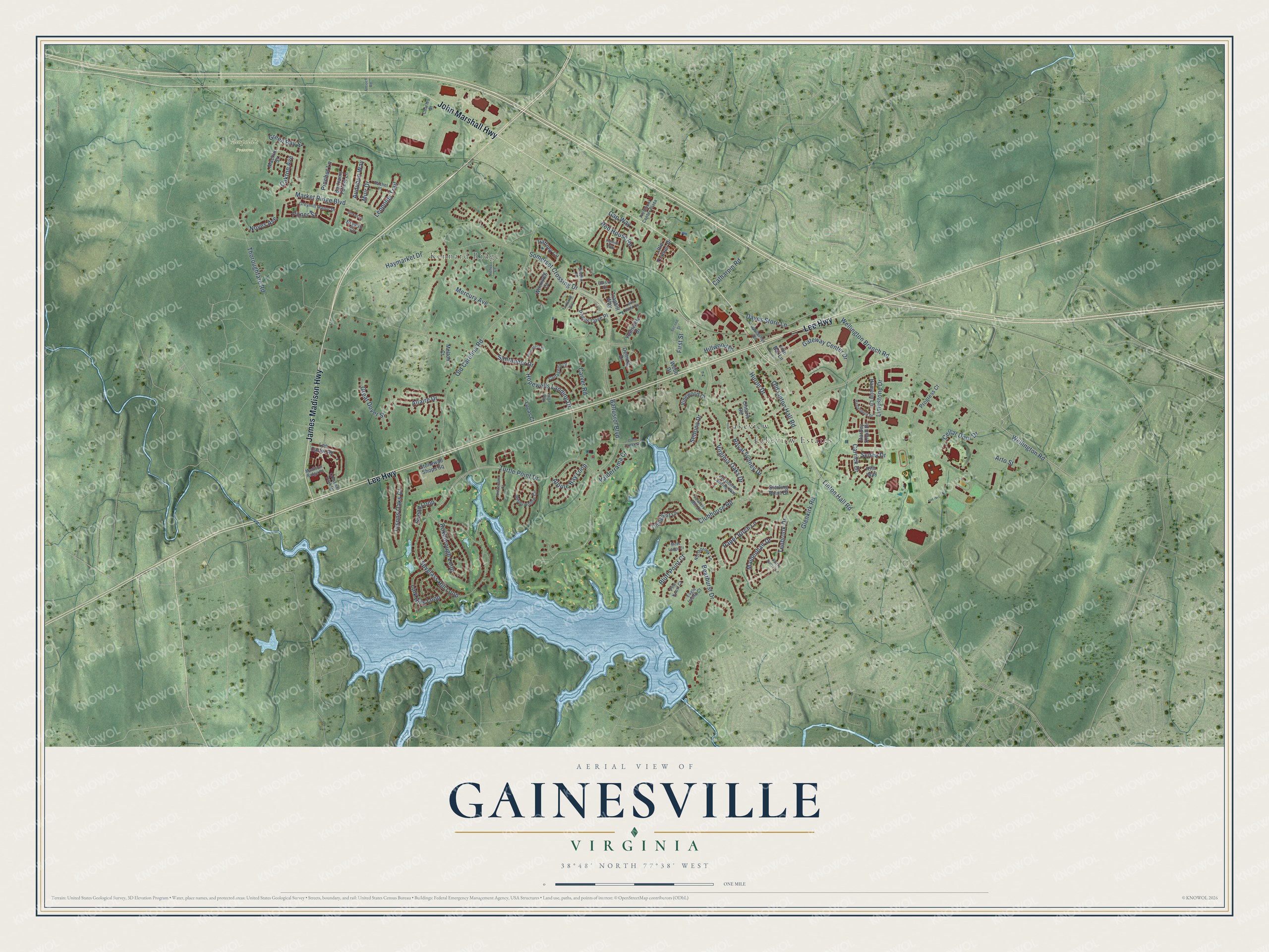
Explore Gainesville, Virginia from a whole new perspective. Created using aerial imagery and detailed geographic data, this map captures Gainesville building by building, with labeled streets, familiar landmarks, and shaded topographical relief that highlights the natural contours of the landscape.
Combining modern data with the timeless character of a vintage atlas, this map is just as interesting up close as it is beautiful on the wall. Whether you grew up in Gainesville, spent memorable years there, or call it home today, this unique map is a great way to celebrate a place that means something to you. Zoom in on the preview to look for your street, and then order a print to put your memories on the wall.
Three ways to hang it
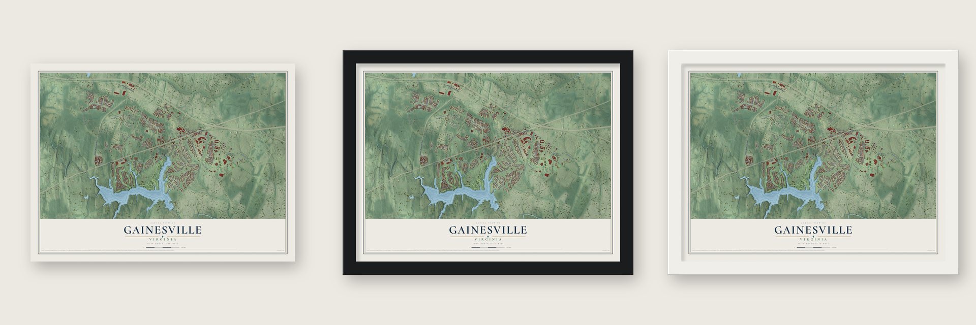
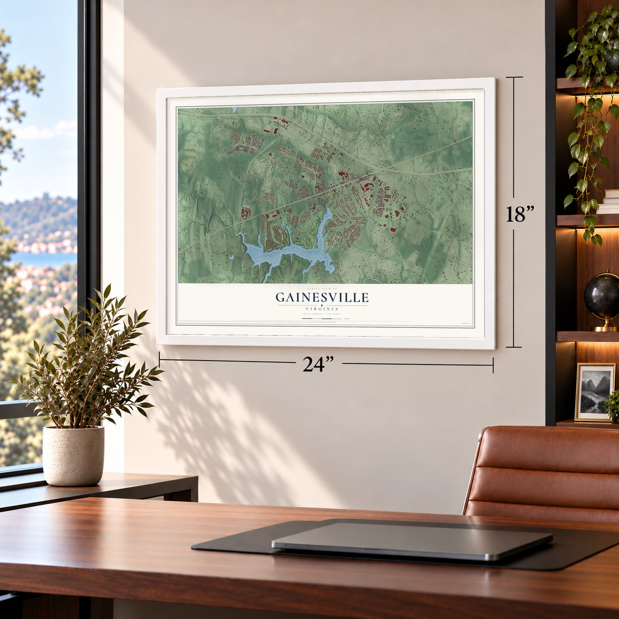
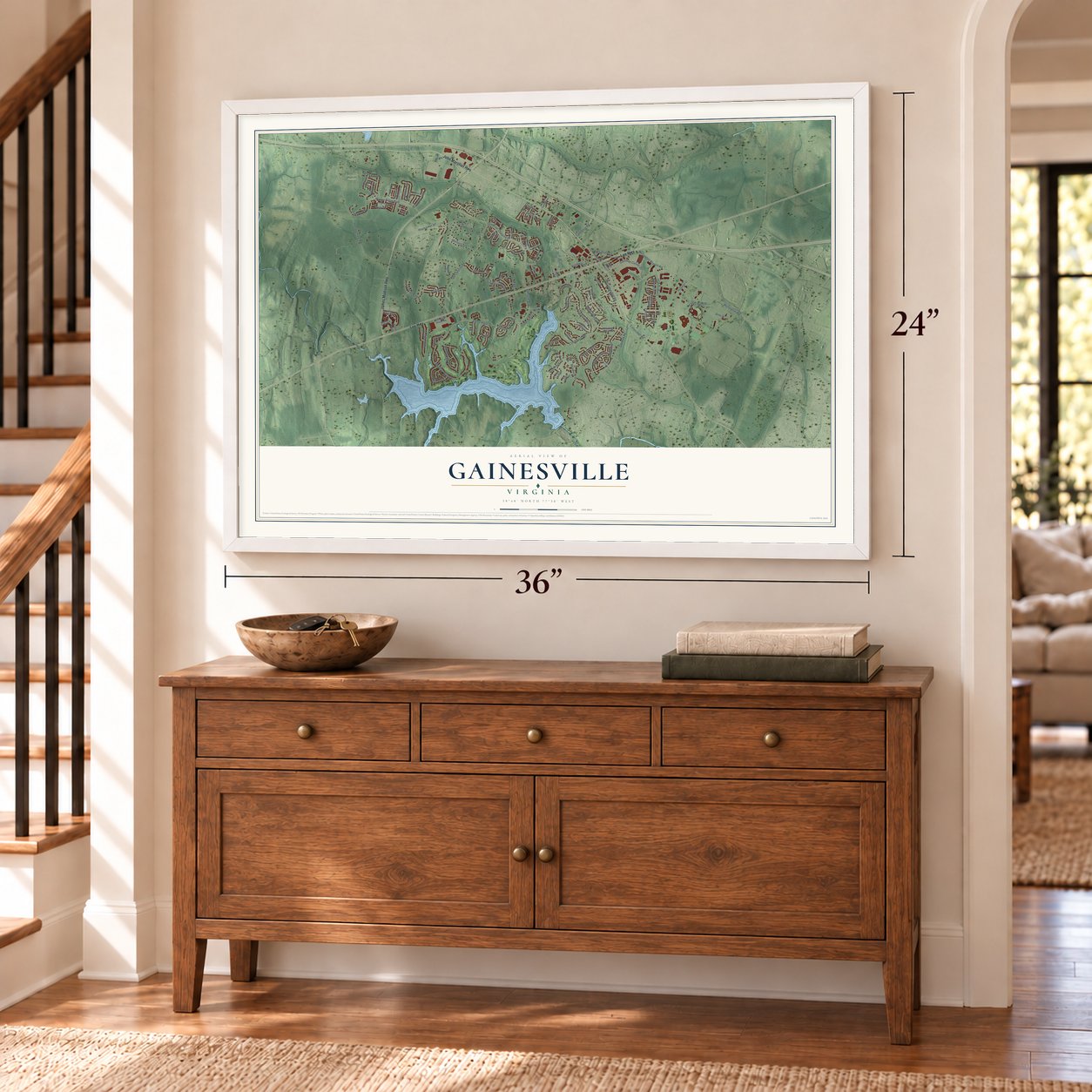
Unframed archival matte, a black wood frame or a white wood frame.
Up close
Geography Worth Displaying
This map was created using accurate cartographic data and authoritative geographic sources, including the U.S. Geological Survey and the Census Bureau. The map brings together terrain, waterways, roads, and building detail. The majority of the streets are labeled, houses are accurately depicted, and the topography is derived from government sources. Combining local data with carefully composed color and shading leads to this beautifully detailed Gainesville artwork for your wall.
Rather than simply showing street outlines, we’ve included as many of the street names as we could reasonably fit on the map while keeping their names legible. Zoom in on the high resolution preview to see exactly what’s on the map. We truly set out to create a statement piece for anyone who loves Gainesville. So whether it’s for you, or a gift for someone you love, we hope this map of Gainesville brings back fond memories.
Read the story behind this map of Gainesville, Virginia from 2026.
About Gainesville, Virginia
Gainesville is a community in western Prince William County. In colonial times the area was called the Middle Grounds, because it lay between Broad Run and Bull Run. Early in the 1800s Samuel Love of Buckland Hall began building the turnpike between Warrenton and Alexandria. Where the road crossed the Middle Grounds, a stable went up so stagecoach drivers could change horses. Other businesses followed, and the hamlet took the name New Stable. A post office with that name opened in 1846 in Richard Graham's hotel and store.
Thomas Brawner Gaines had been buying land here since 1835, and he is the man who brought the railroad to the village. In 1850 the Manassas Gap Railroad bought from him the right to lay its tracks across his land beside the turnpike. Once the line reached Strasburg in 1854, he gave more land for a depot, on the condition that the stop carry his name. By 1856 a small community with its own post office had grown up around the Gainesville depot.
- The SettlementAfter the Civil War, freed people bought land along the road now known as U.S. Route 29 and built a small community called The Settlement. They founded Mount Pleasant Baptist Church, which was the neighborhood's main meeting place for more than a century. Many families in the area still trace their roots to those years, and the church and its cemetery are on the National Register.
- Both armies passed throughDuring the Civil War, Confederate and Union armies each occupied Gainesville. Soldiers used nearby Thoroughfare Gap, a pass through the Bull Run Mountains, on their way to both battles of Bull Run.
- Cattle by rail into the 1960sWith the depot in place, farmers shipped their grain, timber and cattle from Gainesville, and cattle still went out by train into the early 1960s. Until the early 1940s, Southern Railway passenger trains from Harrisonburg and Strasburg Junction stopped in Gainesville on their way to Manassas and Union Station in Washington.
- Crossroads in 1994Large-scale building began in 1994 with Crossroads, Gainesville's first townhome community. Since 2000 the area has gained six large shopping centers. Jiffy Lube Live, an outdoor amphitheater first called the Nissan Pavilion, also stands here. To ease traffic, the state rebuilt the Gainesville Interchange, with construction starting in July 2011 and finishing on July 9, 2015.
Find your street
Names on the Gainesville map
Every name below is printed on this map. Look for your street, your school, the park where you played, or the pond down the road.
Places and landmarks4
- Kennard Ridge
- Leopold's Preserve
- Lakeview
- Lakeview Estates
Streets and roads112
- James Madison Highway
- Lee Highway
- John Marshall Highway
- Turtle Point Drive
- Wellington Road
- Hopewells Landing Drive
- Linton Hall Road
- Thoroughfare Road
- Somerset Crossing Drive
- Glenkirk Road
- Old Carolina Road
- Spyglass Hill Loop
- Haymarket Drive
- Virginia Oaks Drive
- Limestone Drive
- Baltusrol Boulevard
- Carver Road
- Clubhouse Road
- Tenbrook Drive
- Old Linton Hall Road
- Market Ridge Boulevard
- Gateway Center Drive
- Huron Drive
- Roxborough Loop
- Paper Birch Lane
- Bearhurst Drive
- Royal Sydney Drive
- Mercury Avenue
- Daves Store Lane
- Cellar Door Drive
Show all 112 streets
- Green Bay Street
- Link Hills Loop
- Tysons Oaks Court
- Noyes Avenue
- Great Dover Street
- Audubon Way
- Muir Drive
- Wellington Branch Road
- Maidenhair Drive
- Allaire Drive
- Santander Drive
- Red House Road
- Catharpin Road
- Oakton Avenue
- Alpine Bay Loop
- Pitner Street
- Sedona Drive
- Snead Loop
- Leopolds Trail
- Valderrama Court
- Carrick Drive
- First Street
- Pinchot Lane
- Bluff Point Court
- Hillwood Drive
- Arto Street
- Gap Way
- Senea Drive
- Deming Drive
- Sterling Point Drive
- Stonewall Shops Square
- Ontario Road
- Gaffney Circle
- Bryson Circle
- Lee Carter Road
- Prices Cove Place
- Little Thames Drive
- Hamelin Lane
- Tillinghast Lane
- Bartrams Forest Lane
- Macklin Street
- Darbey Knoll Drive
- Traphill Way
- Vinewood Court
- Winnipeg Court
- Progress Court
- Yountville Drive
- Melton Court
- Lucas Court
- Rita Way
- Iron Bar Lane
- Webb Drive
- Windy Hollow Circle
- Crescent Park Drive
- Greymill Manor Drive
- Presidents Landing Way
- Gallerher Road
- Cartagena Drive
- Northbrook Lane
- Pine Knott Court
- Eagle Island Court
- Piedmont Center Plaza
- Rachel Place
- Fowlers Mill Drive
- Bladen Place
- Madison Ridge Place
- Charles Street
- Edisto Court
- Links Pond Circle
- Otter Creek Drive
- Hastenbeck Drive
- Second Street
- Sierra Sunset Lane
- Venus Court
- Amsterdam Court
- Pensacola Place
- Forkland Way
- Moss Ledge Court
- Stokes Lane
- Yalta Way
- Hulfish Way
- Antioch Road
Names are listed as they appear on the printed map. Zoom into the product photos to find them.
The art of mapping a place
How This Map Was Made
Real places. Remarkable detail. Discover the layers that turn geographic data into a map of home.

The view from above
Aerial imagery reveals the character of the land: woodland, open fields, and the patterns of a place.

The shape of the land
Elevation data brings hills, valleys, and subtle changes in the landscape into view.

The details of home
Roads, waterways, and building footprints come together to make the map feel unmistakably local.

Geography becomes art
Considered color, shading, and typography bring the layers together in a map made for your wall.


Process illustrated with Mendon, Massachusetts. Aerial imagery: USDA NAIP. Terrain: USGS 3D Elevation Program. Map details and finished artwork: KNOWOL.
The Details
About This Print
Choose an archival matte print, or a black or white Ayous wood frame. The archival matte print is unframed.
Select your size and finish above to see the matching product image and price.
Materials & Craftsmanship
A contemporary map with the character of a classic atlas, printed on archival matte paper. Optional frames are made from Ayous wood.
Your printed map does not include the watermark shown in the full-map preview.
Shipping & Delivery
Free shipping within the United States. Every print is made to order in the USA.
Buying a gift? Add a note in your cart and we'll include it. We never put prices in the package.
Prints ship within 2 to 3 business days. Allow 7 to 10 days total from ordering for delivery. Timing may vary during holidays or periods of high order volume.
Read our shipping policy.
Returns and damaged prints
Each print is made to order. Change-of-mind refunds are not available after production.
If your print arrives damaged, misprinted or incorrect, contact support@knowol.com within 30 days of receiving it. Include your order number, photos and a description of the issue.
Read our full refund and replacement policy. For questions about your order, email support@knowol.com.
Find your town
Looking for another city?
Find a map of home in our Virginia collection, or any town in the country.
Nearby
Maps of towns near Gainesville
Know someone from one of these towns? Their map makes a great gift.
 Haymarket
, Virginia
From $39.99See the map
 Linton Hall
, Virginia
From $39.99See the map
 New Baltimore
, Virginia
From $39.99See the map
More maps nearby: Bull Run, Innovation, Sudley, Nokesville and Loch Lomond.