
Search for another town




Free U.S. delivery 7 to 10 days after you order
New Baltimore, Virginia Map Art
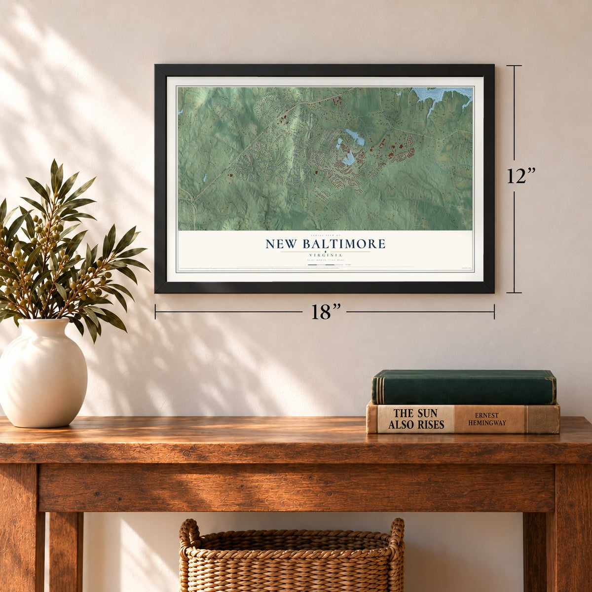
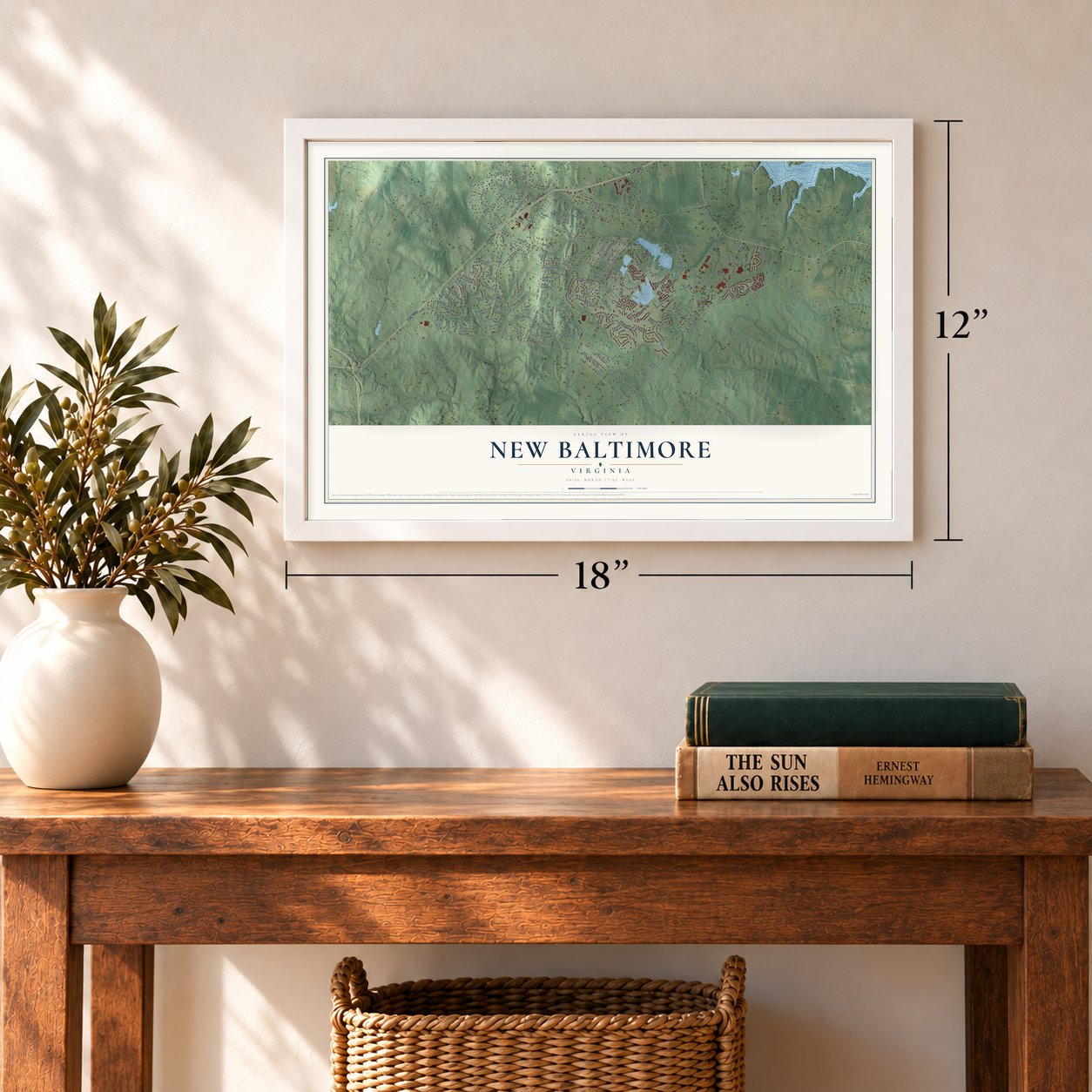
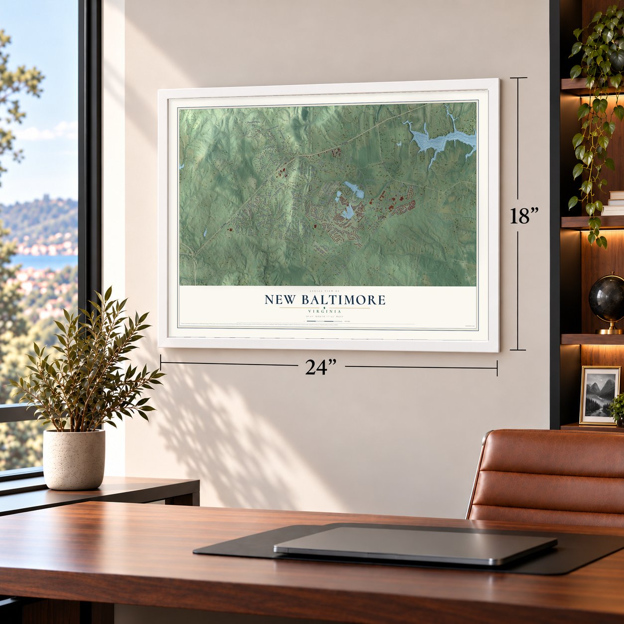
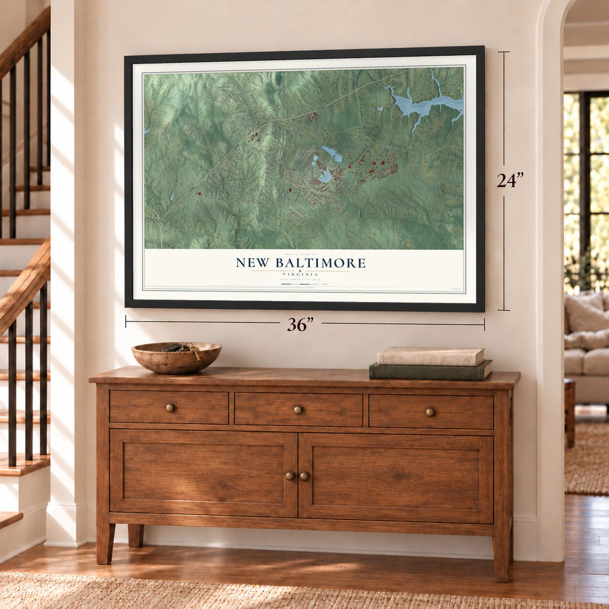
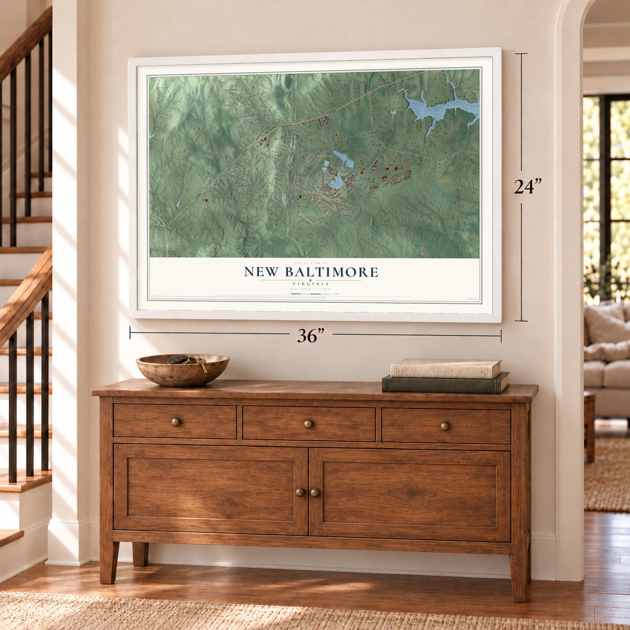
A new map of New Baltimore, Virginia, made in 2026 and printed to order on thick archival matte paper.
12" x 18" Archival Matte Print
A Map of Home. A Work of Art.
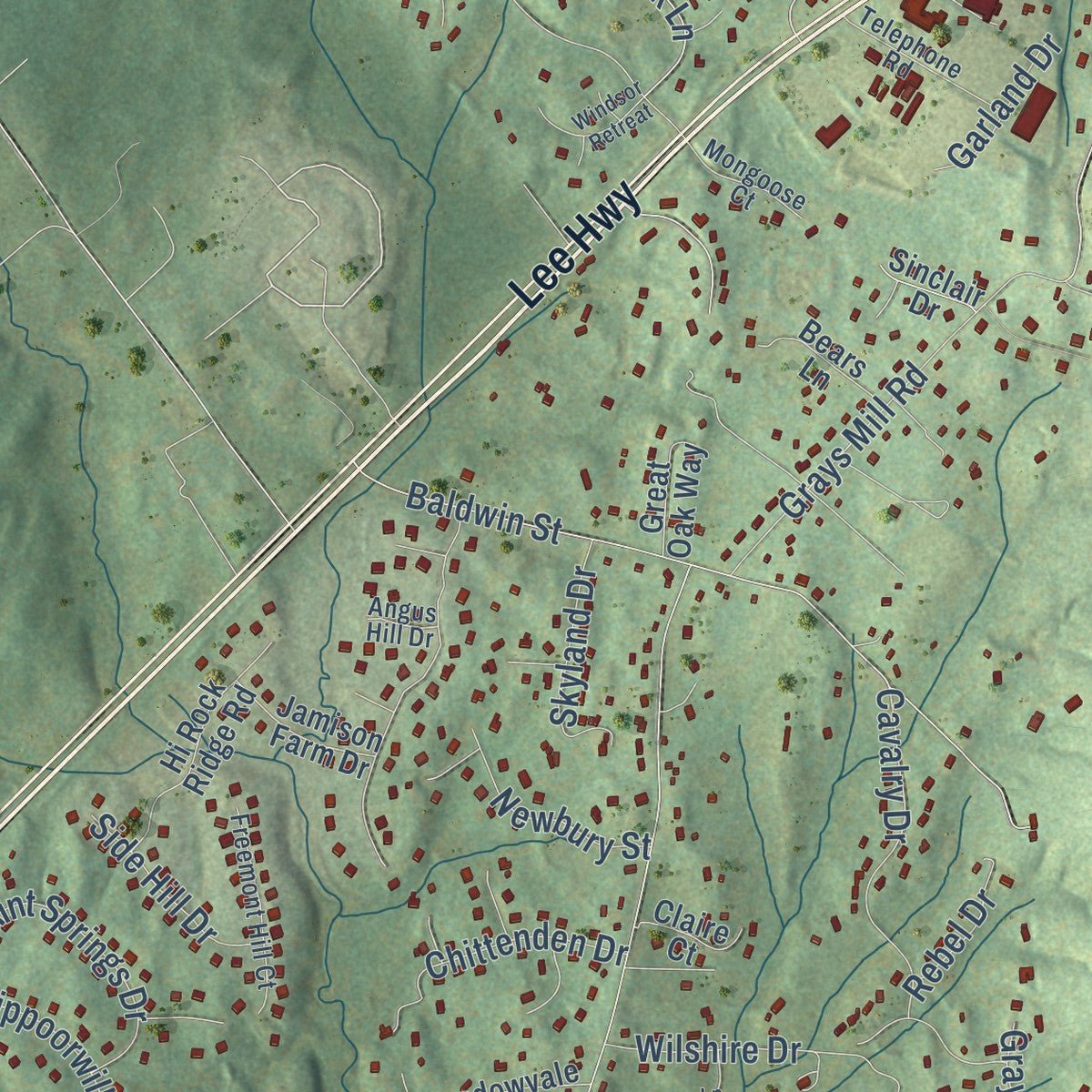
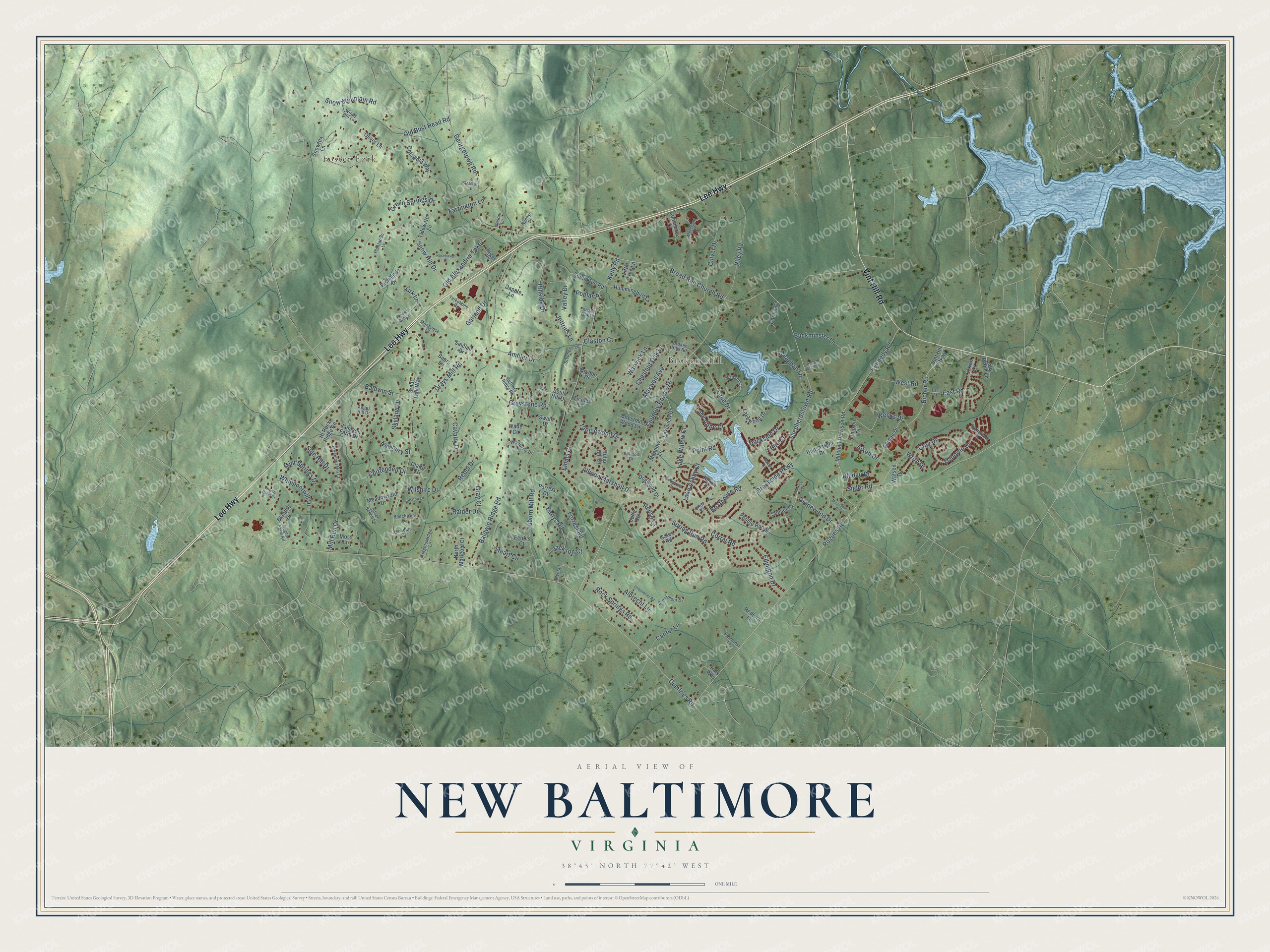
Explore New Baltimore, Virginia from a whole new perspective. Created using aerial imagery and detailed geographic data, this map captures New Baltimore building by building, with labeled streets, familiar landmarks, and shaded topographical relief that highlights the natural contours of the landscape.
Combining modern data with the timeless character of a vintage atlas, this map is just as interesting up close as it is beautiful on the wall. Whether you grew up in New Baltimore, spent memorable years there, or call it home today, this unique map is a great way to celebrate a place that means something to you. Zoom in on the preview to look for your street, and then order a print to put your memories on the wall.
Three ways to hang it
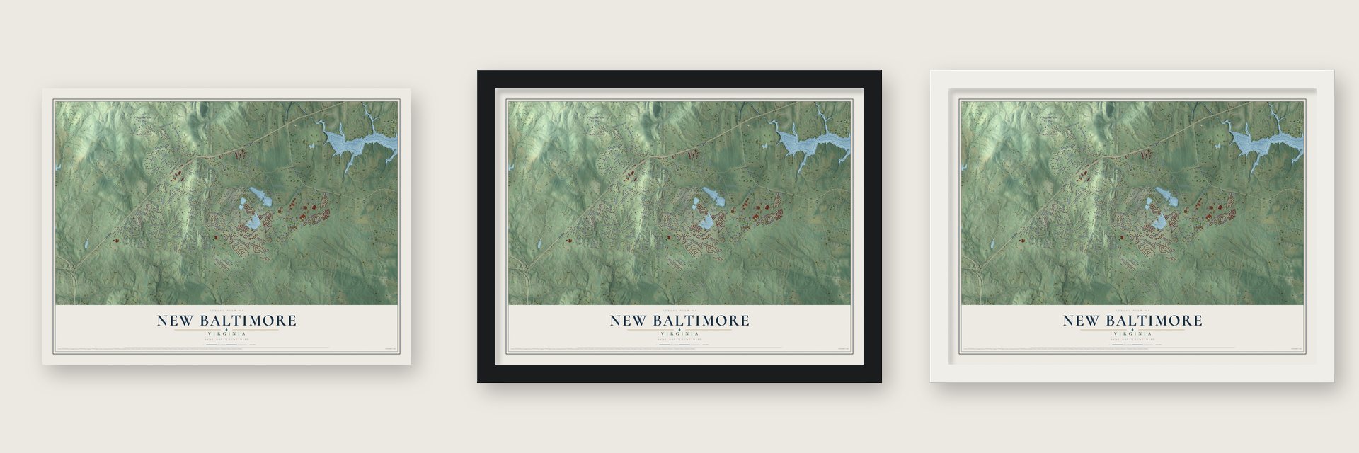
Unframed archival matte, a black wood frame or a white wood frame.
Up close
Geography Worth Displaying
This map was created using accurate cartographic data and authoritative geographic sources, including the U.S. Geological Survey and the Census Bureau. The map brings together terrain, waterways, roads, and building detail. The majority of the streets are labeled, houses are accurately depicted, and the topography is derived from government sources. Combining local data with carefully composed color and shading leads to this beautifully detailed New Baltimore artwork for your wall.
Rather than simply showing street outlines, we’ve included as many of the street names as we could reasonably fit on the map while keeping their names legible. Zoom in on the high resolution preview to see exactly what’s on the map. We truly set out to create a statement piece for anyone who loves New Baltimore. So whether it’s for you, or a gift for someone you love, we hope this map of New Baltimore brings back fond memories.
Read the story behind this map of New Baltimore, Virginia from 2026.

About New Baltimore, Virginia
New Baltimore is a community of 11,251 people in eastern Fauquier County, about 6 miles northeast of Warrenton, the county seat. The village grew up in the early 19th century along the Alexandria Turnpike, the road now called Lee Highway. Its center was James Hampton's Tavern, built in 1823 where the turnpike met Georgetown Road. By the 1850s the village had its own post office, along with a church and a school.
The Post Office still listed New Baltimore in 1897 but had dropped it by 1908. In those years Lee Highway was moved to run south of the village, and the old town settled into a quiet cluster of houses from many periods. Hampton's Tavern survives there as a private home. Since the 1980s the area has grown fast, because it gives Fauquier County its easiest drive to Washington, D.C.
“parade and transfer of the Army to Gen. Burnside took place on our farm in front of our house in a change of command ceremony at New Baltimore, Virginia on November 9, 1862.”
- McClellan's farewell, 1862After Antietam, President Lincoln was angry that General McClellan had let Lee's army escape once more, and on November 5, 1862, he ordered McClellan removed from command. McClellan was camped in the front yard of Julia F. Claggett's farm in New Baltimore. He rode out to say goodbye to his troops, and the army passed to General Burnside in a ceremony on the Claggett farm.
- A farm stripped bareThat fall a brigade of about 3,000 men from General William B. Franklin's VI Corps camped on the Claggetts' 273 acres. The soldiers took food, horses, hogs and cattle, cleared 40 acres of woods, and burned barns and fences for firewood. In 1871 Julia Claggett asked the Southern Claims Commission for $7,322.50. It granted her only $3,091, and she had to sell the farm at a loss to a cousin of her late husband.
- Stringfellow's raidFrom July 31, 1863, through September 15, 1863, Union troops under General Joseph Jackson Bartlett camped in New Baltimore, with Bartlett's headquarters in the Claggett yard. On September 4, Confederate Captain Frank Stringfellow and 20 men rode in to capture him. They fired at the Union soldiers and into the house, but Bartlett got away and the raid failed.
- A secret post at Vint HillThe Army set up a top-secret station at Vint Hill Farms, where soldiers listened in on enemy radio messages. The old Vint Hill Farms Station grounds now lie inside New Baltimore's census boundaries.
Find your street
Names on the New Baltimore map
Every name below is printed on this map. Look for your street, your school, the park where you played, or the pond down the road.
Places and landmarks2
- Broken Hill
- Foster Fork
Streets and roads171
- Lee Highway
- Vint Hill Road
- Riley Road
- Weeks Drive
- Dumfries Road
- Rogues Road
- Grays Mill Road
- Countuy Road 676
- Broad Run Church Road
- Brookside Parkway
- Shepherdstown Road
- Kennedy Road
- Kelly Road
- Snow Hill Drive
- Auburn Mill Road
- Old Bust Head Road
- Baldwin Ridge Road
- Whippoorwill Drive
- Baldwin Street
- Old Alexandria Turnpike
- Bicher Road
- Georgetown Road
- Snow Mountain Road
- Lake Drive
- Aiken Drive
- Lake Willow Court
- Bludau Drive
- Stuart Circle
- Hillside Drive
- Chestnut Oak Lane
Show all 171 streets
- Canter Lane
- Cray Drive
- Osborne Drive
- Graystone Road
- Culver Drive
- Tanglewood Drive
- Spring Run Road
- Mint Springs Drive
- Edington Drive
- Allison Marshall Drive
- Albrecht Lane
- Rock Springs Road
- Forrest Road
- Ambler Drive
- Sigler Road
- Green Springs Drive
- Lake Ashby Court
- Emma Court
- Grapewood Drive
- Maxwell Avenue
- Warwick Lane
- Writh Drive
- Wilshire Drive
- Cavalry Drive
- Farrington Lane
- West Road
- Buckminster Lane
- Meaghan Lane
- Mill Run Drive
- Chittenden Drive
- Boathouse Road
- Lake Anne Court
- Skyland Drive
- Earlys Road
- Raider Drive
- Corral Road
- Newbury Street
- Valley Drive
- Side Hill Drive
- Jeffries Lane
- East Road
- Reese Court
- Kirk Lane
- Jackson Court
- Dockside Drive
- Rebel Drive
- Garland Drive
- Point Road
- Claston Court
- Poplar Place
- Gray Court
- Bee Court
- Mitchell Harrison Road
- Hunsberger Drive
- Vint Hill Parkway
- Bladau Drive
- Cotswold Way
- Lakeview Drive
- Moss Lane
- Tulip Hill Drive
- Hi Rock Ridge Road
- Hummingbird Lane
- Blantire Drive
- Meadow Lane
- South Run Road
- Pebble Run Road
- North Marigold Court
- Dogwood Drive
- Meadowvale Drive
- Sunset Court
- Watson Drive
- Lakewood Drive
- Chestnut Wood Lane
- Tidewater Lane
- Commerce Court
- Spy Plane Lane
- Jamison Farm Drive
- Gates Road
- Hals Way
- Bears Lane
- Richlands Drive
- Snowfox Lane
- Heron Place
- Forrest Court
- Great Oak Way
- Johnson Drive
- Dapple Lane
- Caitlin Court
- Claire Court
- Brydon Court
- Oliver Lane
- Eckert Court
- Timber Lane
- South Hill Drive
- Redturn Lane
- Echols Court
- Sinclair Drive
- Joffa Circle
- Little Tree Lane
- Swain Drive
- Wade Court
- Telephone Road
- Mallard Court
- Freemont Hill Court
- Rector Farm Road
- Knightsbridge Lane
- Brookmoor Drive
- Stephens Lane
- Silver Beech Lane
- Shady Oak Lane
- Dovetail Lane
- Broken Hills Road
- Wemberly Drive
- Settlers Ridge Road
- Stratton Lane
- Merchant Place
- Beechtree Drive
- Plantation Lane
- Windy Hill Lane
- Briggs Road
- Mongoose Court
- Sutherland Court
- Pinecrest Lane
- Oakmont Drive
- Camellia Court
- Nannys Place
- Mason Lane
- Angus Hill Drive
- Crew Court
- Greenbrier Road
- East Street
- Wellspring Court
- Seaton Lane
- Windsor Retreat
- Butler Grant Lane
- North Crest Court
- Rosehaven Court
- Moonlight Court
- Sunrise Court
- Harbor Court
- High Court
Names are listed as they appear on the printed map. Zoom into the product photos to find them.
The art of mapping a place
How This Map Was Made
Real places. Remarkable detail. Discover the layers that turn geographic data into a map of home.

The view from above
Aerial imagery reveals the character of the land: woodland, open fields, and the patterns of a place.

The shape of the land
Elevation data brings hills, valleys, and subtle changes in the landscape into view.

The details of home
Roads, waterways, and building footprints come together to make the map feel unmistakably local.

Geography becomes art
Considered color, shading, and typography bring the layers together in a map made for your wall.


Process illustrated with Mendon, Massachusetts. Aerial imagery: USDA NAIP. Terrain: USGS 3D Elevation Program. Map details and finished artwork: KNOWOL.
The Details
About This Print
Choose an archival matte print, or a black or white Ayous wood frame. The archival matte print is unframed.
Select your size and finish above to see the matching product image and price.
Materials & Craftsmanship
A contemporary map with the character of a classic atlas, printed on archival matte paper. Optional frames are made from Ayous wood.
Your printed map does not include the watermark shown in the full-map preview.
Shipping & Delivery
Free shipping within the United States. Every print is made to order in the USA.
Buying a gift? Add a note in your cart and we'll include it. We never put prices in the package.
Prints ship within 2 to 3 business days. Allow 7 to 10 days total from ordering for delivery. Timing may vary during holidays or periods of high order volume.
Read our shipping policy.
Returns and damaged prints
Each print is made to order. Change-of-mind refunds are not available after production.
If your print arrives damaged, misprinted or incorrect, contact support@knowol.com within 30 days of receiving it. Include your order number, photos and a description of the issue.
Read our full refund and replacement policy. For questions about your order, email support@knowol.com.
Find your town
Looking for another city?
Find a map of home in our Virginia collection, or any town in the country.
Nearby
Maps of towns near New Baltimore
Know someone from one of these towns? Their map makes a great gift.
 Warrenton
, Virginia
From $39.99See the map
 Gainesville
, Virginia
From $39.99See the map
 Haymarket
, Virginia
From $39.99See the map
More maps nearby: Linton Hall, Catlett, Calverton, Nokesville and The Plains.