
Search for another town


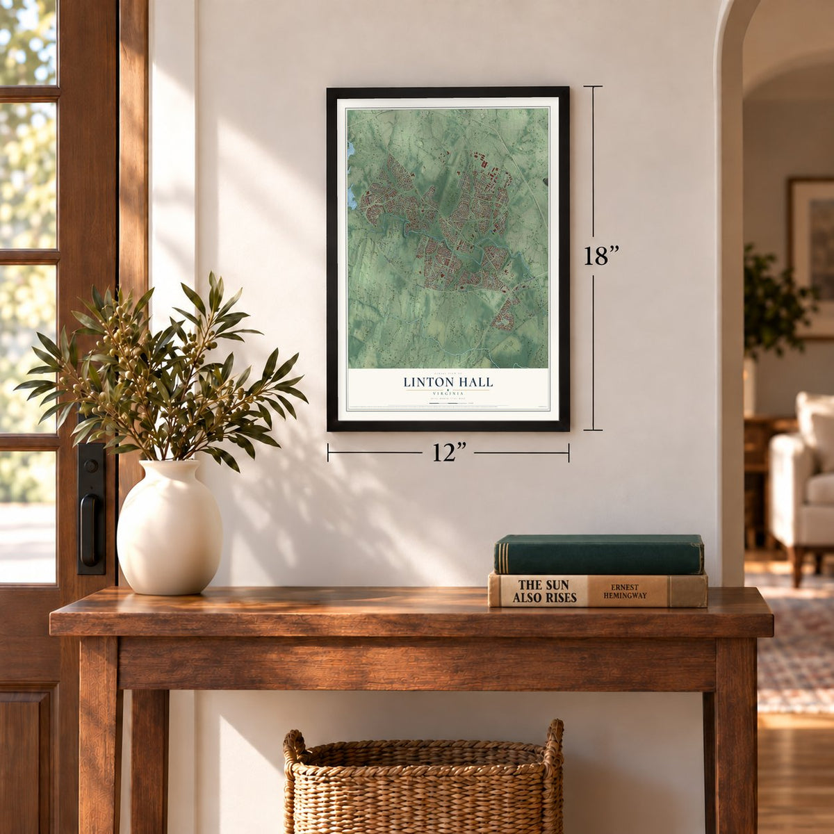
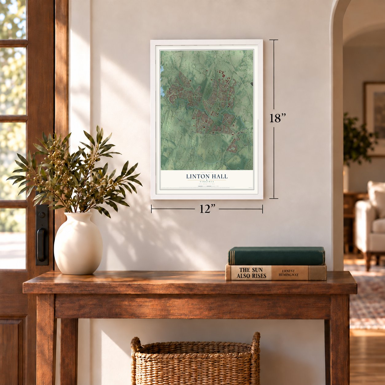
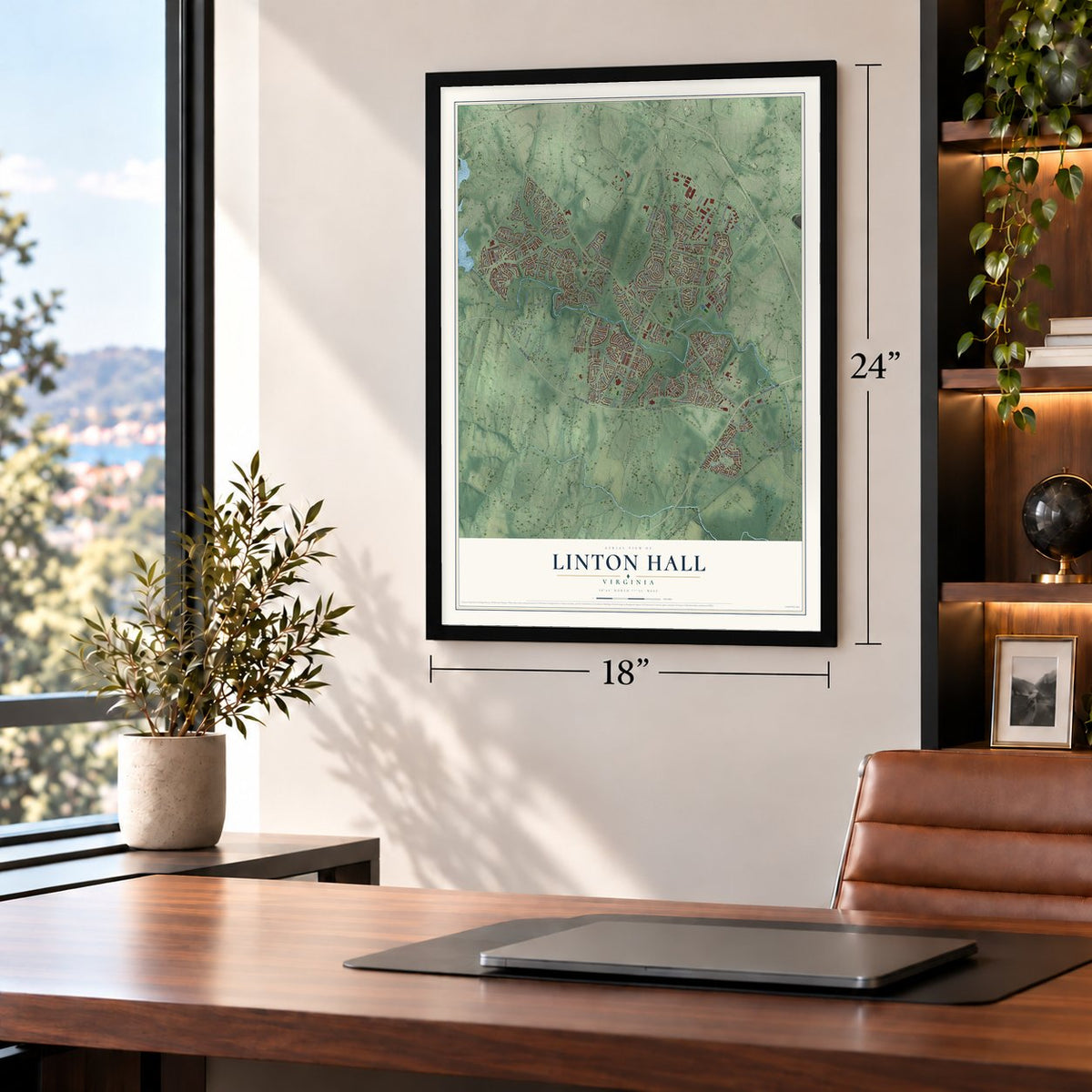
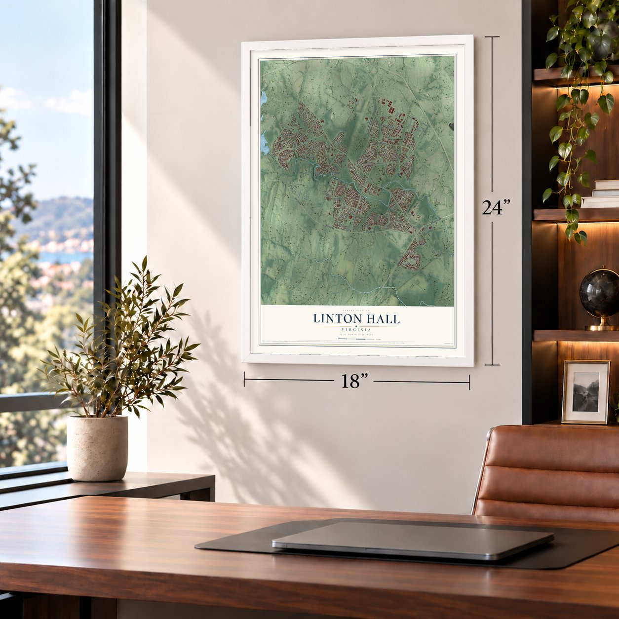
Free U.S. delivery 7 to 10 days after you order
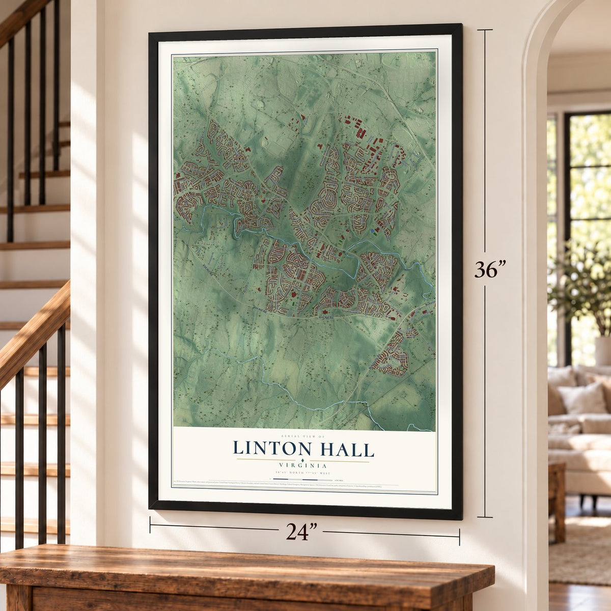
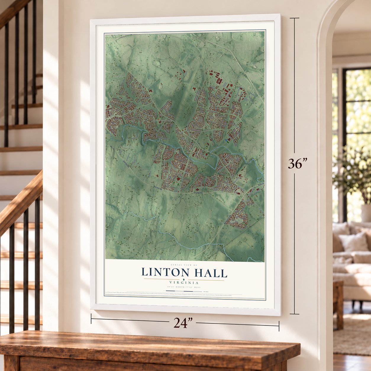
Linton Hall, Virginia Map Art
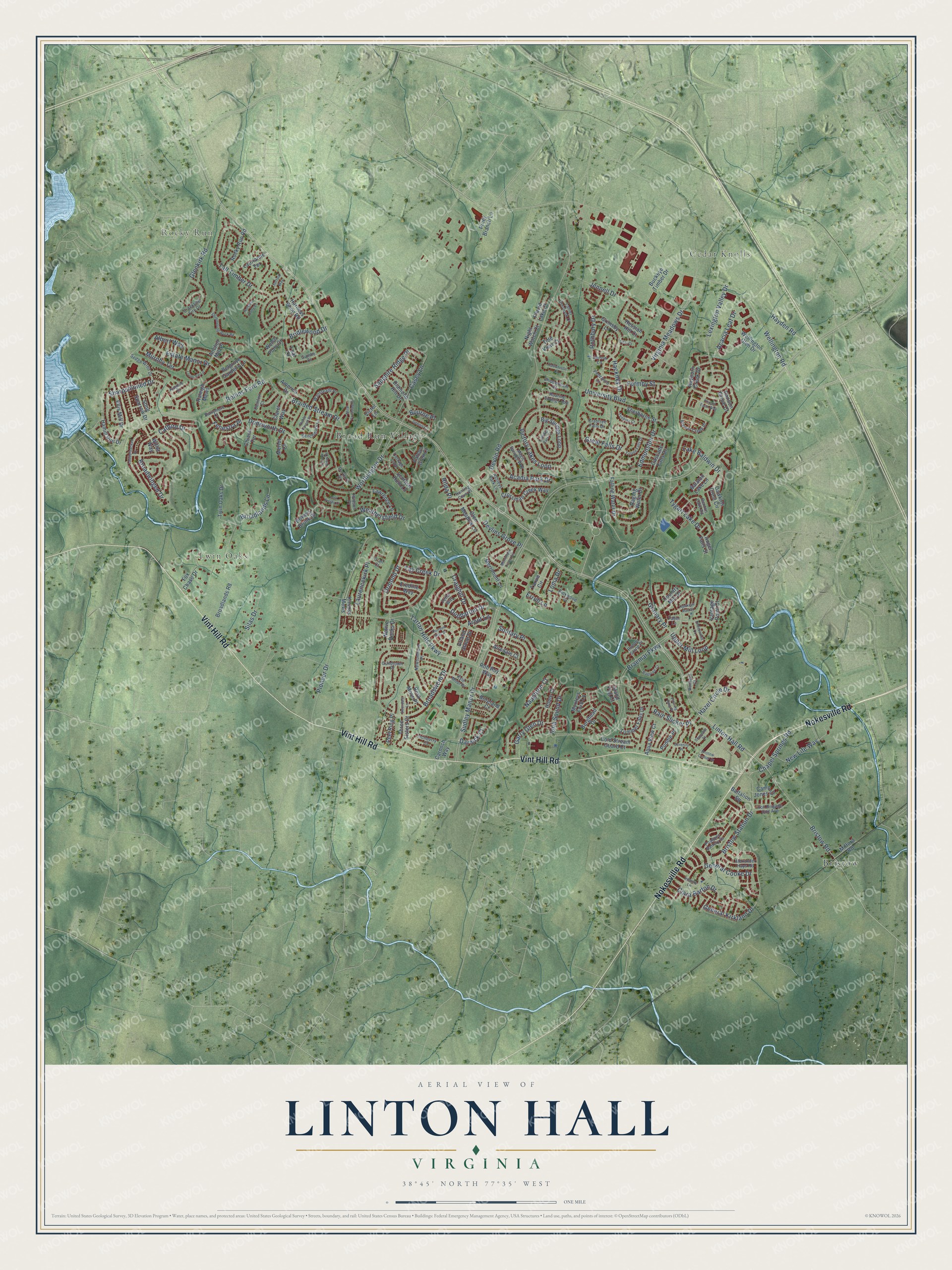
A new map of Linton Hall, Virginia, made in 2026 and printed to order on thick archival matte paper.
12" x 18" Archival Matte Print
A Map of Home. A Work of Art.
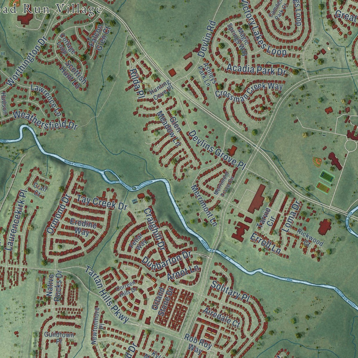
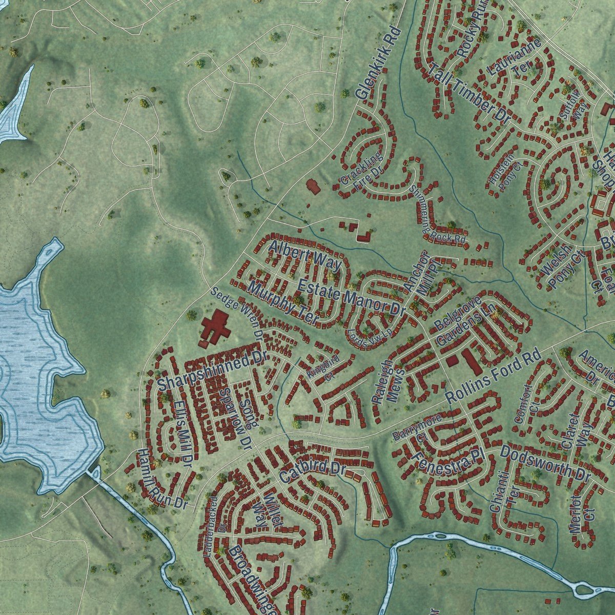
Explore Linton Hall, Virginia from a whole new perspective. Created using aerial imagery and detailed geographic data, this map captures Linton Hall building by building, with labeled streets, familiar landmarks, and shaded topographical relief that highlights the natural contours of the landscape.
Combining modern data with the timeless character of a vintage atlas, this map is just as interesting up close as it is beautiful on the wall. Whether you grew up in Linton Hall, spent memorable years there, or call it home today, this unique map is a great way to celebrate a place that means something to you. Zoom in on the preview to look for your street, and then order a print to put your memories on the wall.
Three ways to hang it
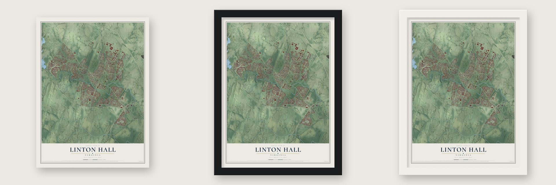
Unframed archival matte, a black wood frame or a white wood frame.
Up close
Geography Worth Displaying
This map was created using accurate cartographic data and authoritative geographic sources, including the U.S. Geological Survey and the Census Bureau. The map brings together terrain, waterways, roads, and building detail. The majority of the streets are labeled, houses are accurately depicted, and the topography is derived from government sources. Combining local data with carefully composed color and shading leads to this beautifully detailed Linton Hall artwork for your wall.
Rather than simply showing street outlines, we’ve included as many of the street names as we could reasonably fit on the map while keeping their names legible. Zoom in on the high resolution preview to see exactly what’s on the map. We truly set out to create a statement piece for anyone who loves Linton Hall. So whether it’s for you, or a gift for someone you love, we hope this map of Linton Hall brings back fond memories.
Read the story behind this map of Linton Hall, Virginia from 2026.

About Linton Hall, Virginia
From the Virginia Historical Marker Program: "On the afternoon of 14 October, Maj. Gen. Gouverneur K. Warren's II Corps, Meade's rear guard, took a strong defensive position along the railroad embankment to meet an impetuous attack by elements of Hill's corps from the northwest."
Find your street
Names on the Linton Hall map
Every name below is printed on this map. Look for your street, your school, the park where you played, or the pond down the road.
Places and landmarks5
- Rocky Run
- Cedar Knolls
- Twin Oaks
- Bristow
- Broad Run Village
Streets and roads204
- Vint Hill Road
- Nokesville Road
- Wellington Road
- Lake Baldwin Drive
- Linton Hall Road
- Sudley Manor Drive
- Braemar Parkway
- Devlin Road
- Rollins Ford Road
- Glenkirk Road
- Worthington Drive
- Tartan Hills Parkway
- Victory Lakes Loop
- Pioneer Drive
- Broadsword Drive
- Estate Manor Drive
- University Boulevard
- Braided Stream Drive
- General Kirkland Drive
- Lexington Valley Drive
- Bristow Road
- Broadlands Lane
- Tall Timber Drive
- Bridlewood Drive
- Weathersfield Drive
- Ormond Drive
- Dunbarton Drive
- Iona Sound Drive
- General Cooke Drive
- Dodsworth Drive
Show all 204 streets
- Bristow Station Drive
- Virginia Meadows Drive
- Sharpshinned Drive
- Upper Mill Loop
- Acadia Park Drive
- Jennell Drive
- Casey Lane
- Solitary Place
- Craighill Drive
- Acacia Leaf Drive
- Catbird Drive
- Rothbury Drive
- Laurencekirk Place
- Broadwinged Drive
- Hayden Road
- Devlins Grove Place
- Chapel Springs Road
- Edmonston Drive
- Silas Drive
- Hazel Circle Drive
- Hackney Drive
- Sapphire Ridge Place
- Tygart Lake Drive
- Clara Barton Drive
- Garry Glen Drive
- Granary Place
- Tay Creek Drive
- Murphy Terrace
- Formby Street
- New Life Way
- Rain Slicker Place
- Albert Way
- Great Falls Drive
- Loma Drive
- Bourne Place
- Fenestra Place
- Naughton Court
- Rilda Place
- Darnick Court
- Arnot Lane
- Erroll Lane
- Rayborn Creek Drive
- Falling Water Drive
- Orland Stone Drive
- Big Springs Loop
- Tarvie Circle
- Scottish Hunt Lane
- Tummel Falls Drive
- Sherborne Street
- Merrimont Lane
- Ellis Mill Drive
- Rocky Run Road
- Twin Oaks Drive
- Glen Meadow Lane
- Wellington Glen Drive
- Grimsby Lane
- Raging Water Drive
- Crossman Creek Way
- Country Mill Drive
- Harness Shop Road
- Lawrence Lane
- Broadlands Road
- Cold Stream Guard Court
- Belgrove Gardens Lane
- Fox Chase Drive
- Buckeye Timber Drive
- Cascade Falls Drive
- Chianti Terrace
- Diamond Hill Drive
- Hessian Hill Court
- Puddle Place
- Anchor Mill Place
- Hamill Run Drive
- Native Rocks Drive
- Song Sparrow Drive
- Raleigh Mews
- Aqua View Court
- Bowers Brook Place
- Hanson Grove Court
- Falcon Glen Court
- Carnoch Way
- Angel Falls Street
- Eredine Way
- Balaton Lake Lane
- Island Fog Court
- America Drive
- Vantage Point Court
- Kinloss Mews
- Dawkins Crest Circle
- Peel Ring Place
- Laurianne Terrace
- Three Sisters Court
- Burghead Drive
- Milford Road
- Piney Branch Lane
- Airedale Court
- Rora Moss Place
- Claret Way
- Placid Lake Court
- Hume Court
- Battalion Square
- Moxleys Ford Lane
- Boreland Court
- Merlot Court
- Night Watch Court
- Camp Jones Court
- Tide View Court
- Foal Court
- Rob Roy Way
- Welsh Pony Court
- Willet Way
- Victor Lane
- Brewer Creek Place
- Lanier Overlook Court
- Poagues Battery Drive
- Roaring Spring Loop
- Newtonmore Place
- Crabtree Falls Drive
- Crackling Fire Drive
- Barrymore Court
- Benton Lake Road
- Iron Brigade Unit Avenue
- Cottage Loop
- Benchmark Lane
- Sedge Wren Drive
- Wansteadt Place
- Magic Springs Way
- Runner Stone Place
- Alexander Hays Road
- Penzance Lane
- Ashleys Park Lane
- Rickwood Court
- Inchberry Court
- Chippenham Court
- Hunting Cove Place
- Kyle Moor Place
- Fetlar Way
- Comfort Court
- Guildtown Place
- Hudson Place
- Rainleaf Court
- Dartford Place
- Gumbo Court
- Jarrow Lane
- Faber Lane
- Crail Court
- Bristow Center Drive
- Merrimont Trace Circle
- Correen Hills Drive
- Ladderbacked Drive
- Lords Vw Lp
- Shimmering Rock Road
- Bagpipe Court
- Tulane Falls Drive
- Moat Crossing Place
- Infantry Lane
- Snapshot Court
- Swordale Lane
- Hawkeye Run Court
- Dennis Court
- Underwood Court
- Stable Forest Place
- Tenbury Court
- Serenity Place
- Holstein Pony Court
- Pouring Rain Place
- Falcon View Court
- Haltwhistle Court
- Phipps Farm Way
- Camden Park Court
- Kingbird Court
- Lost Fields Court
- Deal Court
- Suffolk Way
Names are listed as they appear on the printed map. Zoom into the product photos to find them.
The art of mapping a place
How This Map Was Made
Real places. Remarkable detail. Discover the layers that turn geographic data into a map of home.

The view from above
Aerial imagery reveals the character of the land: woodland, open fields, and the patterns of a place.

The shape of the land
Elevation data brings hills, valleys, and subtle changes in the landscape into view.

The details of home
Roads, waterways, and building footprints come together to make the map feel unmistakably local.

Geography becomes art
Considered color, shading, and typography bring the layers together in a map made for your wall.


Process illustrated with Mendon, Massachusetts. Aerial imagery: USDA NAIP. Terrain: USGS 3D Elevation Program. Map details and finished artwork: KNOWOL.
The Details
About This Print
Choose an archival matte print, or a black or white Ayous wood frame. The archival matte print is unframed.
Select your size and finish above to see the matching product image and price.
Materials & Craftsmanship
A contemporary map with the character of a classic atlas, printed on archival matte paper. Optional frames are made from Ayous wood.
Your printed map does not include the watermark shown in the full-map preview.
Shipping & Delivery
Free shipping within the United States. Every print is made to order in the USA.
Buying a gift? Add a note in your cart and we'll include it. We never put prices in the package.
Prints ship within 2 to 3 business days. Allow 7 to 10 days total from ordering for delivery. Timing may vary during holidays or periods of high order volume.
Read our shipping policy.
Returns and damaged prints
Each print is made to order. Change-of-mind refunds are not available after production.
If your print arrives damaged, misprinted or incorrect, contact support@knowol.com within 30 days of receiving it. Include your order number, photos and a description of the issue.
Read our full refund and replacement policy. For questions about your order, email support@knowol.com.
Find your town
Looking for another city?
Find a map of home in our Virginia collection, or any town in the country.
Nearby
Maps of towns near Linton Hall
Know someone from one of these towns? Their map makes a great gift.
 Innovation
, Virginia
From $39.99See the map
 Bull Run
, Prince William County, Virginia
From $39.99See the map
 Gainesville
, Virginia
From $39.99See the map
More maps nearby: Nokesville, Sudley, Manassas, Haymarket and Loch Lomond.