
Search for another town





Free U.S. delivery 7 to 10 days after you order
Germantown, Tennessee Map Art
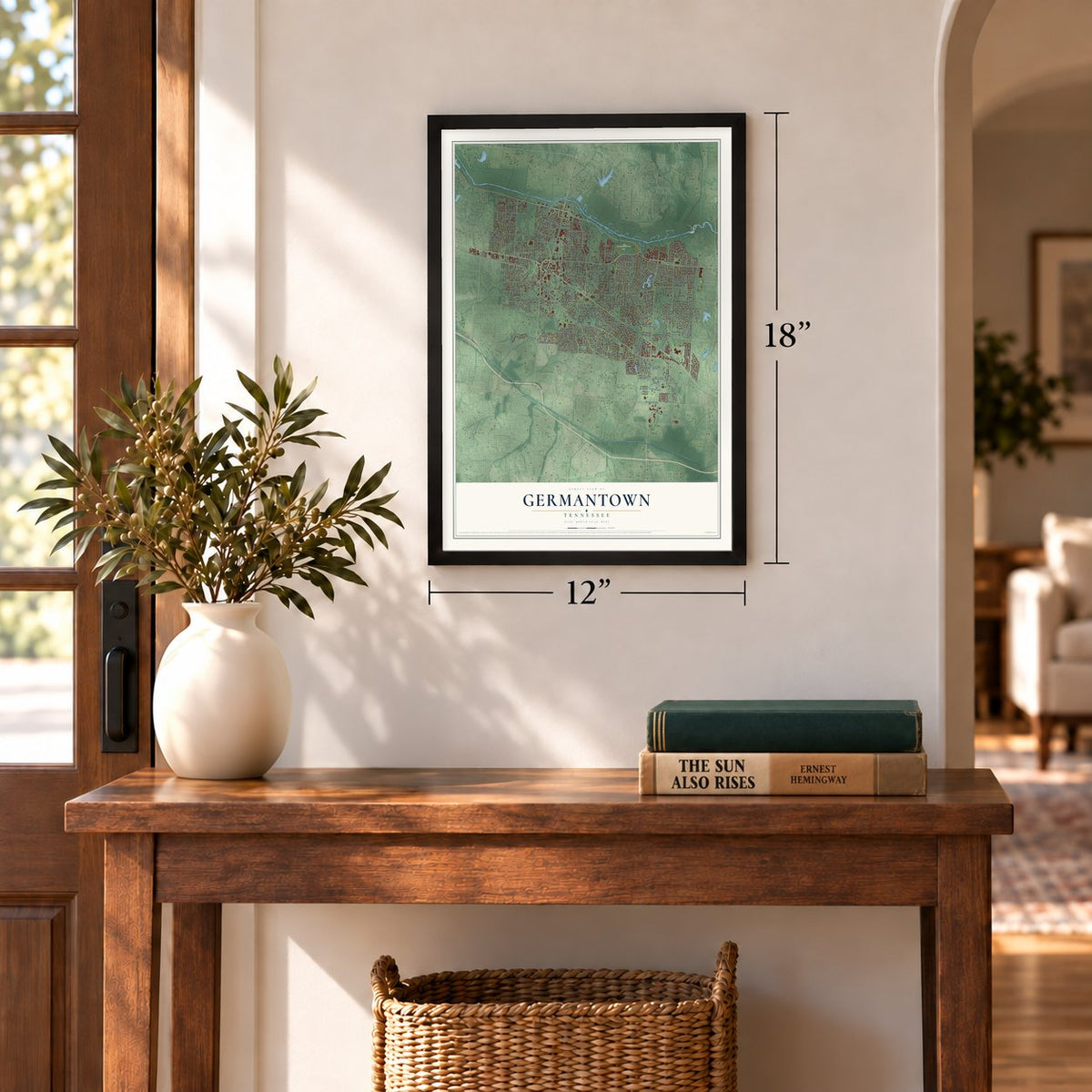
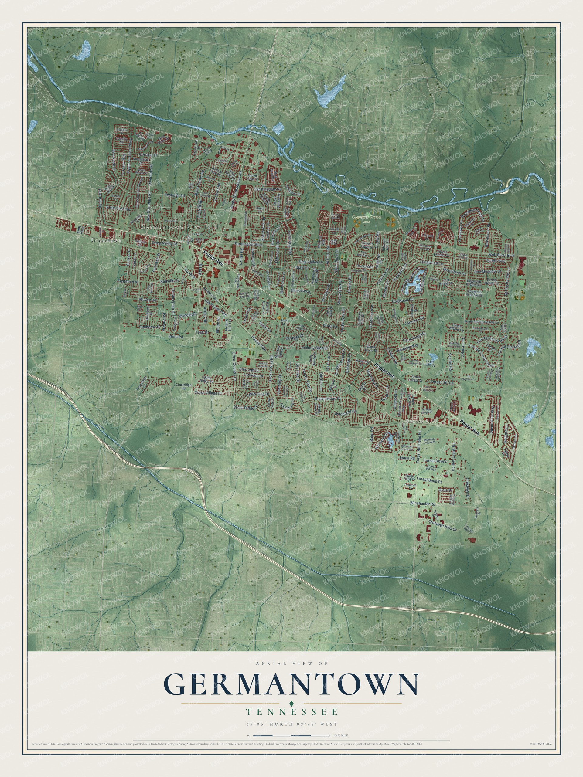
A new map of Germantown, Tennessee, made in 2026 and printed to order on thick archival matte paper.
12" x 18" Archival Matte Print
A Map of Home. A Work of Art.
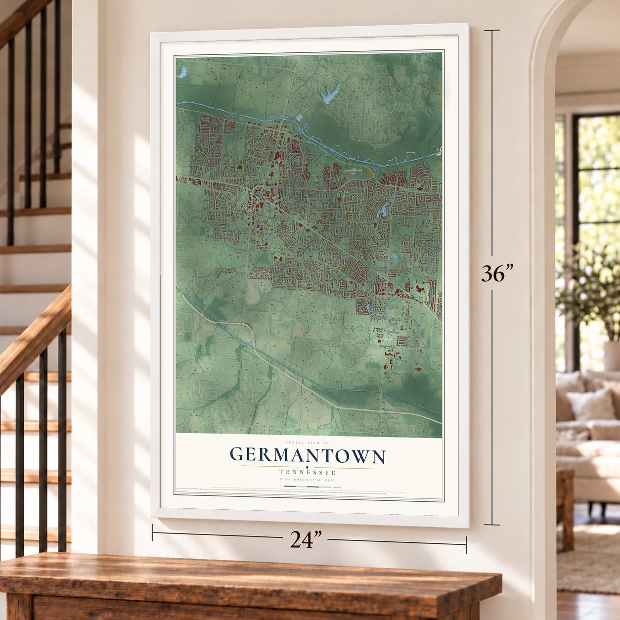
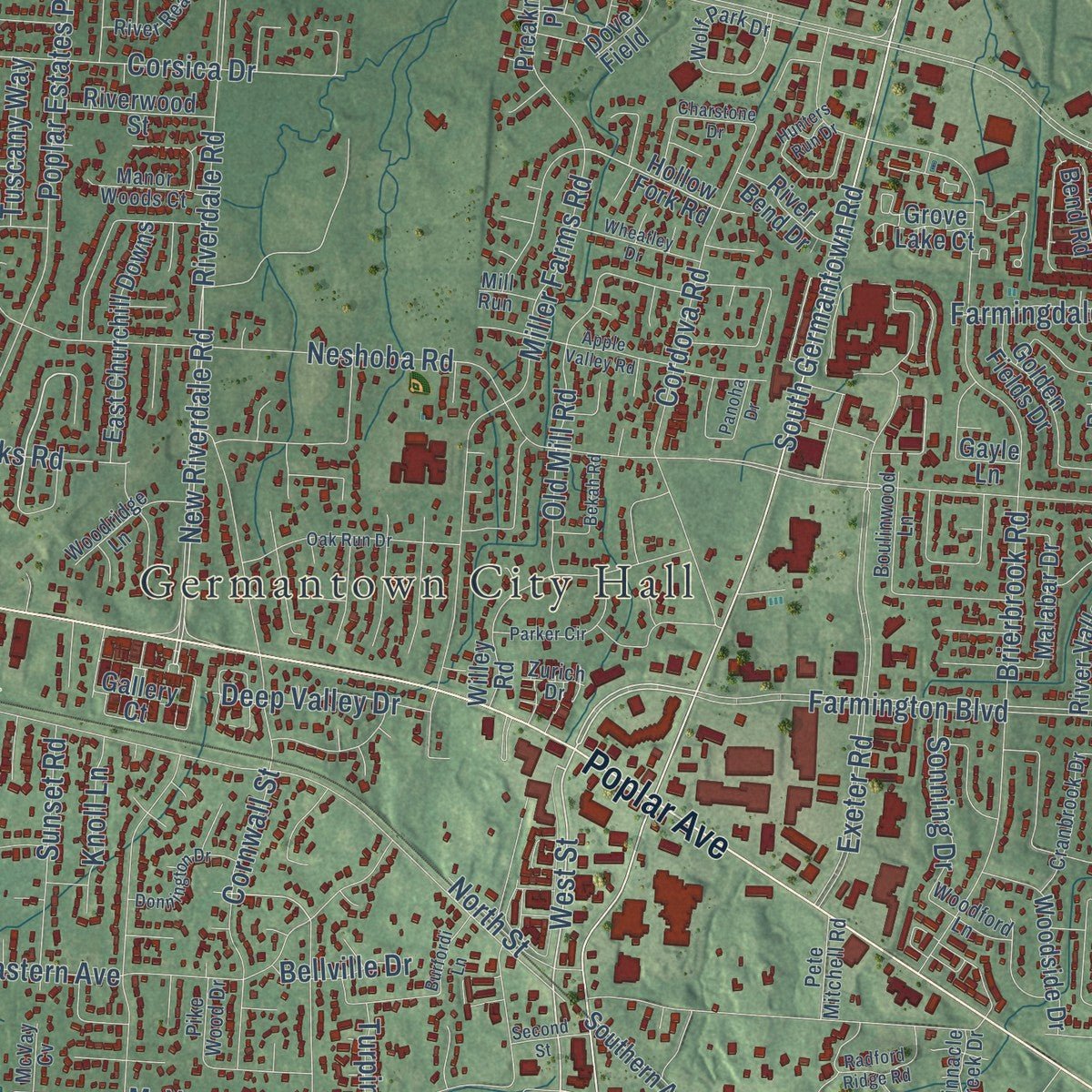
Explore Germantown, Tennessee from a whole new perspective. Created using aerial imagery and detailed geographic data, this map captures Germantown building by building, with labeled streets, familiar landmarks, and shaded topographical relief that highlights the natural contours of the landscape.
Combining modern data with the timeless character of a vintage atlas, this map is just as interesting up close as it is beautiful on the wall. Whether you grew up in Germantown, spent memorable years there, or call it home today, this unique map is a great way to celebrate a place that means something to you. Zoom in on the preview to look for your street, and then order a print to put your memories on the wall.
Three ways to hang it
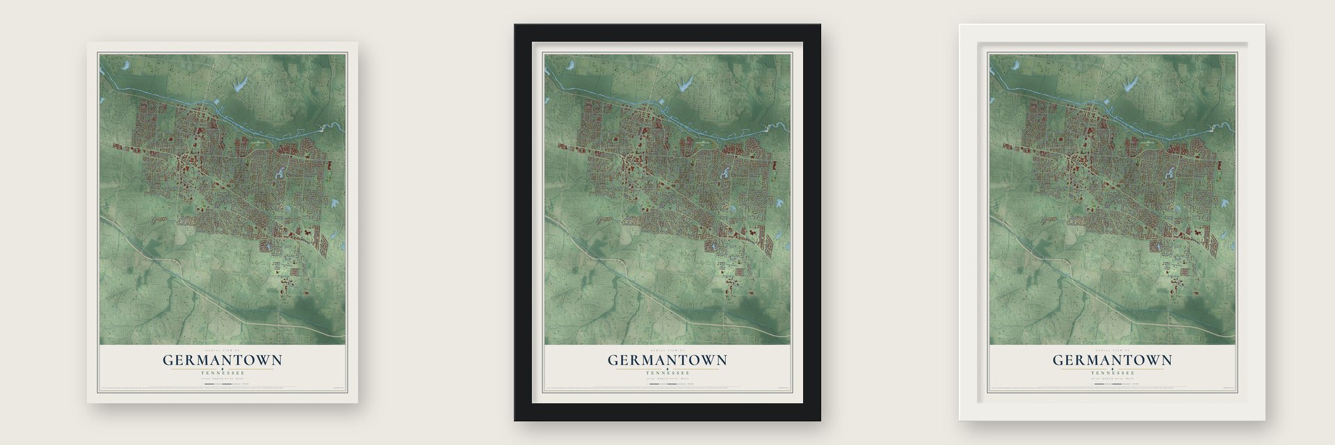
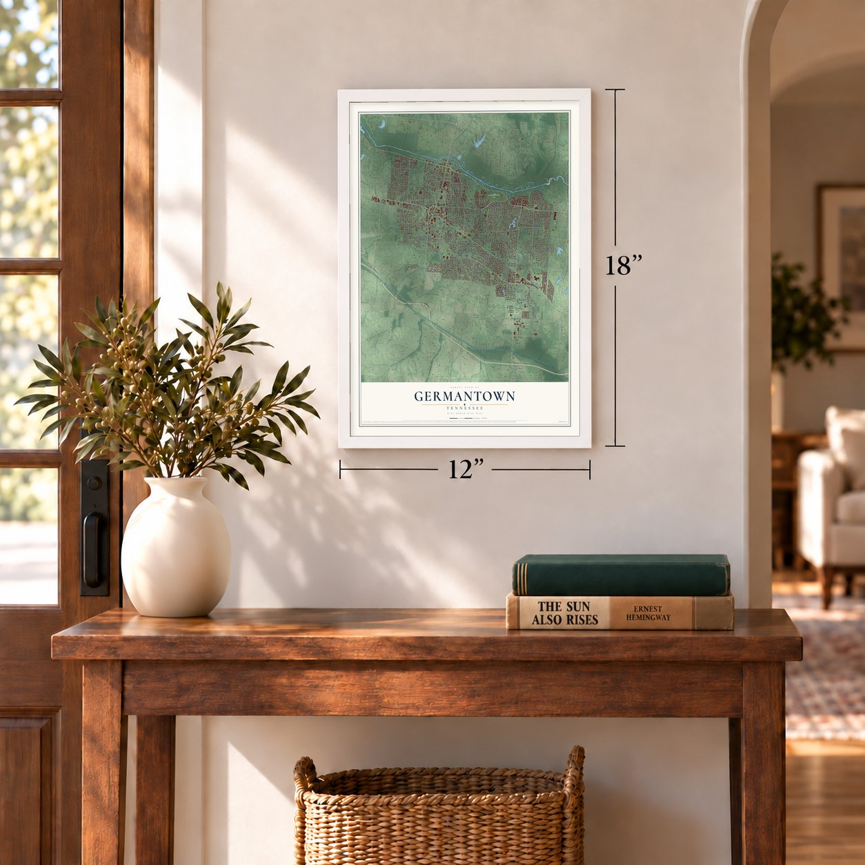
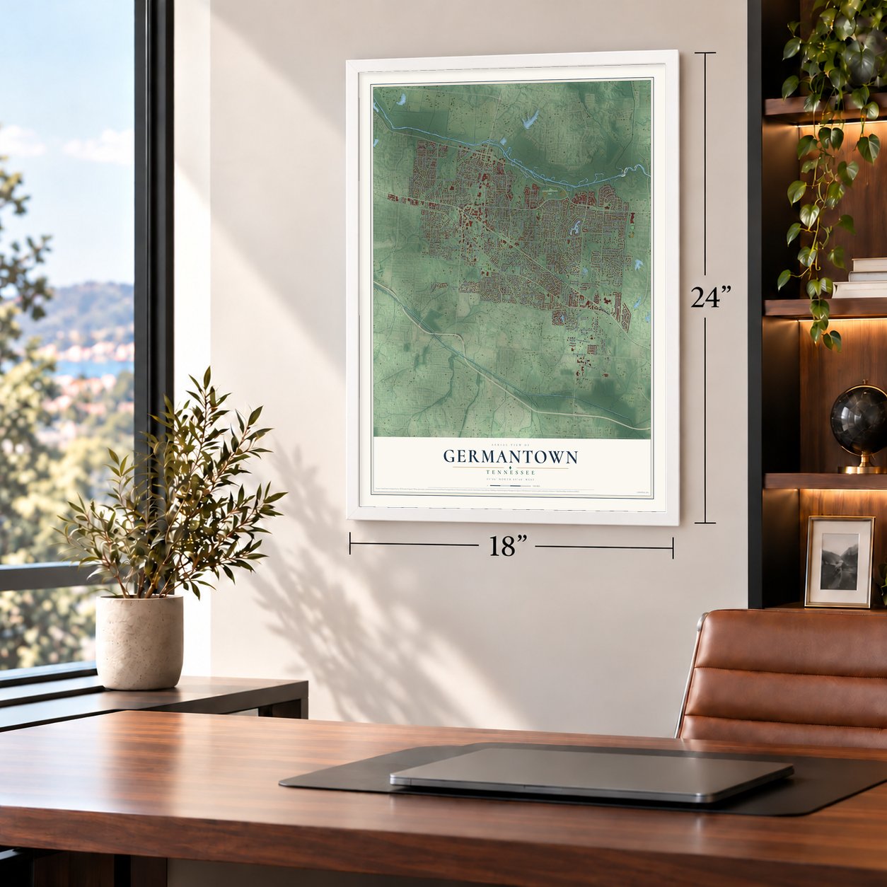
Unframed archival matte, a black wood frame or a white wood frame.
Up close
Geography Worth Displaying
This map was created using accurate cartographic data and authoritative geographic sources, including the U.S. Geological Survey and the Census Bureau. The map brings together terrain, waterways, roads, and building detail. The majority of the streets are labeled, houses are accurately depicted, and the topography is derived from government sources. Combining local data with carefully composed color and shading leads to this beautifully detailed Germantown artwork for your wall.
Rather than simply showing street outlines, we’ve included as many of the street names as we could reasonably fit on the map while keeping their names legible. Zoom in on the high resolution preview to see exactly what’s on the map. We truly set out to create a statement piece for anyone who loves Germantown. So whether it’s for you, or a gift for someone you love, we hope this map of Germantown brings back fond memories.
Read the story behind this map of Germantown, Tennessee from 2026.

About Germantown, Tennessee
Germantown is a city of 41,333 people in Shelby County, just east of Memphis. It grew up where the old Chickasaw Trace crossed high ground, a ridge with the Wolf River on one side and Nonconnah Creek on the other. Settlers began coming around 1825, and by 1830 the place had its first store.
People called the settlement Pea Ridge in 1833. The next year surveyor N. T. German laid out town lots, and in 1836 the town took the name Germantown, which also suited the German families settling nearby. It was incorporated in 1841, and the Memphis and Charleston line came through in 1852. In the decades after World War II, the town of about 400 people swelled past 40,000.
“Germantown, on the M. & C. Railroad, which now has a population of about two hundred, is as old as Raleigh, and was so named because of the large numbers of Germans who settled in the vicinity.”
- Nashoba PlantationBetween 1825 and 1830, Frances Wright set up Nashoba Plantation here. She meant it as a utopian community where freed slaves would get an education and learn a trade.
- 250 soldiers and a fortDuring the Civil War, 250 Union soldiers built an earthen fort here to guard the railroad. Replica howitzers now mark Fort Germantown on Honey Tree Drive, off Poplar Pike. The war and the yellow fever epidemics left only a few hundred people in town, but churches were rebuilt, schools went up, and by the turn of the century people were coming back.
- Neshoba in World War IAnti-German feeling ran high across the country during World War I, so the town briefly called itself Neshoba, a Chickasaw word meaning wolf. The change did not last, and the Germantown name stayed.
- A depot from 1868Old Germantown grew up around the railroad depot on Germantown Road, which settlers picked for its high ground. The original depot of 1868 was replaced by a copy in 1948, and the building now houses the Germantown Train Museum.
Find your street
Names on the Germantown map
Every name below is printed on this map. Look for your street, your school, the park where you played, or the pond down the road.
Places and landmarks4
- Germantown City Hall
- Forest Hill
- Cameron Brown Park
- Greenlawn
Streets and roads271
- Poplar Avenue
- South Germantown Road
- West Street
- Devonshire Way
- New Riverdale Road
- Prestwick Drive
- Beaverwood Drive
- Wolf River Boulevard
- Poplar Pike
- Farmington Boulevard
- Forest Hill Irene Road
- Old Poplar Pike
- Dogwood Road
- Kimbrough Road
- Riverdale Road
- Neshoba Road
- Johnson Road
- Winchester Road
- Hacks Cross Road
- Exeter Road
- McVay Road
- Brierbrook Road
- Stout Road
- Poplar Estates Parkway
- Brookside Drive
- Miller Farms Road
- Allenby Road
- Fox Hill Circle South
- Cross Village Drive
- Kilbirnie Drive
Show all 271 streets
- Cordova Road
- Crestwyn Hills Drive
- Cross Country Drive
- Calkins Road
- Oakleigh Lane
- Eastern Avenue
- Spring Hollow Lane
- Winners Circle
- Windy Oaks Drive
- Cordes Road
- Bedford Lane
- Howard Road
- Great Oaks Road
- Corsica Drive
- Brachton Avenue
- Thorncroft Drive
- Fox Hill Circle East
- Fox Hill Circle North
- Corbin Road
- Honey Tree Drive
- Turpins Glen Drive
- Crestwyn Drive
- Pine Valley Lane
- Farindon Drive
- Old Mill Road
- Cornwall Street
- West Glenalden Drive
- Mimosa Drive
- Cross Ridge Drive
- Hollow Creek Road
- Cairn Ridge Drive
- Forest Hill Lane
- Ashmont Drive
- Longwood Lane
- Oak Hill Road
- Gotten Way
- Farmoor Road
- Winding Way
- Cross Pike Drive
- Doe Meadow Drive
- Woodlane Drive
- Forest Downs
- Sunset Road
- Farmingdale Road
- Forest Bend Court
- Scruggs Drive
- Claiborne Drive
- Dovie Lane
- Carnton Drive
- Waterleaf Drive
- Dogwood Creek Drive
- Allen Court Drive
- Grovecrest Road
- Deep Valley Drive
- Scarlet Road
- Hickory Glen Drive
- Hunters Forest Drive
- Yester Oaks Drive
- Moore Road
- Ole Pike Drive
- Elm Leaf Drive
- Sonning Drive
- Lennox Drive
- Groveway Drive
- Bobo Road
- Knoll Lane
- Wheatland Drive
- Arthur Road
- North Street
- Tuscany Way
- Birchton Drive
- Leesburg Drive
- Old Elm Lane
- Tagg Drive
- Drury Lane
- Beekman Place
- Blair Lane
- Bellville Drive
- Jenna Road
- Glenbar Drive
- Cielo Drive
- Hollow Fork Road
- Dogwood Road South
- Somerset Lane
- East Churchill Downs
- Southern Avenue
- Kimbrough Woods Place
- Foster Ridge Road
- Willey Road
- Wood Creek Drive
- Dogwood Estates Drive
- Kenney Drive
- South Spring Hollow Lane
- Pepper Bush Lane
- Newfields Road
- Meadow Glen Drive
- Carters Grove Lane
- Circle Gate Drive
- Cordie Lee Lane
- Sandy Creek Drive
- Holly Hill Drive
- Holly Spring Drive
- East Glenalden Drive
- Woodside Drive
- Dogwood Trail Drive
- Stratfield Drive
- Malabar Drive
- Fox Creek Drive
- East Bridge Drive
- Golden Fields Drive
- Centre Oak Way
- Kirby Parkway
- Laurinburg Circle
- Mallard Lane
- Riverwood Street
- Spring Meade Lane
- River Valley Drive
- Wolf Bend Road
- Cedar Dale Drive
- Birchtree Drive
- Mont Blanc Drive
- Windstone Way
- Melanie Smith Lane
- Grove Lake Court
- Kimbrook Drive
- Maple Grove Drive
- Riverchase Drive
- Preakness Place
- River Bend Drive
- Rocky Hollow Road
- Tamerlane Lane
- Fox Hill Drive
- Country Road
- Belfort Drive
- Forest Estates Cv
- Ivy Leaf Drive
- Crestridge Road
- Grove Forest Cv
- Ednam Cv
- Gwynn Hollow Cv
- Edwards Mill Road
- Wicklow Way
- Lipsey Cv
- Farrah Lane
- Gallery Court
- Echo Lake Cv
- Dickens Cv
- Dove Field
- Terrene Lane
- Gayle Lane
- Rye Road
- Anns Lane
- Alder Branch Lane
- Claiborne Farm Drive
- Cedarwood Drive
- Wickersham Lane
- Keasler Circle East
- Poplar Grove Lane
- Pine Needle Drive
- River Reach Road
- Cranbrook Drive
- Grovelawn Cv East
- Winding Oak Way
- Tyndale Drive
- Woodridge Lane
- Forest Hill Way
- Village Shops Drive
- Manor Woods Court
- Willinghurst Drive
- Gwynnbrook Cv
- Park Ridge Drive
- Boulinwood Lane
- Wolf Park Drive
- Grove Trail Lane
- Romano Way East
- Pete Mitchell Road
- Bridge Forest Drive
- Hobbits Glen Drive
- Woodford Lane
- Business Drive
- Pinnacle Creek Drive
- Redfield Drive
- Pike Wood Drive
- Telluride Cv
- Surrey Lane
- Monte Carlo Drive
- Grove Park Cv
- McVay Cv
- Zurich Drive
- Mill Run
- Rico Cv
- Wetherby Drive
- Apple Valley Road
- Oak Run Drive
- Deerfield Lane
- Radford Ridge Road
- Hunters Run Drive
- Birnam Wood Drive
- Parker Circle
- Keasler Circle West
- Whispering Pines Drive
- On the Hill
- Donnington Drive
- Allenby Lakes Drive
- Dogwood Oaks Drive
- Wheatley Drive
- Wentworth Lane
- Brandemere Drive
- Forest Hill-Irene Cv
- Coachmans Drive
- Hollybrook Lane South
- Meadow Run
- Ingleside Farm South
- Cane Creek Drive
- Winding Creek Drive
- Old Plantation Cv
- Sandpoint Drive
- Birch Park Lane
- Billy Cross Drive
- West Arden Oaks Drive
- Myrtle Bend Drive
- Windstone Cv
- Forest River Lane
- Goodview Drive
- Weston Pass
- Burfordi Lane
- Wellsley Drive
- Oak Manor Drive
- Savannah Way South
- Chelsea Park Drive
- Night Shade Drive
- Charstone Drive
- Crestwyn Hills Cv
- Second Street
- Bekah Road
- Belle Fleurs Cv
- Hazelton Drive
- River Park Drive
- Fox Ridge Road
- Burrows Farm Cv
- Panoha Drive
Names are listed as they appear on the printed map. Zoom into the product photos to find them.
The art of mapping a place
How This Map Was Made
Real places. Remarkable detail. Discover the layers that turn geographic data into a map of home.

The view from above
Aerial imagery reveals the character of the land: woodland, open fields, and the patterns of a place.

The shape of the land
Elevation data brings hills, valleys, and subtle changes in the landscape into view.

The details of home
Roads, waterways, and building footprints come together to make the map feel unmistakably local.

Geography becomes art
Considered color, shading, and typography bring the layers together in a map made for your wall.


Process illustrated with Mendon, Massachusetts. Aerial imagery: USDA NAIP. Terrain: USGS 3D Elevation Program. Map details and finished artwork: KNOWOL.
The Details
About This Print
Choose an archival matte print, or a black or white Ayous wood frame. The archival matte print is unframed.
Select your size and finish above to see the matching product image and price.
Materials & Craftsmanship
A contemporary map with the character of a classic atlas, printed on archival matte paper. Optional frames are made from Ayous wood.
Your printed map does not include the watermark shown in the full-map preview.
Shipping & Delivery
Free shipping within the United States. Every print is made to order in the USA.
Buying a gift? Add a note in your cart and we'll include it. We never put prices in the package.
Prints ship within 2 to 3 business days. Allow 7 to 10 days total from ordering for delivery. Timing may vary during holidays or periods of high order volume.
Read our shipping policy.
Returns and damaged prints
Each print is made to order. Change-of-mind refunds are not available after production.
If your print arrives damaged, misprinted or incorrect, contact support@knowol.com within 30 days of receiving it. Include your order number, photos and a description of the issue.
Read our full refund and replacement policy. For questions about your order, email support@knowol.com.
Find your town
Looking for another city?
Find a map of home in our Tennessee collection, or any town in the country.
Nearby
Maps of towns near Germantown
Know someone from one of these towns? Their map makes a great gift.
 Collierville
, Tennessee
From $39.99See the map
 Piperton
, Tennessee
From $39.99See the map
 Memphis
, Tennessee
From $39.99See the map
More maps nearby: Bartlett, Lakeland, Rossville, Arlington and Oakland.