
Search for another town





Free U.S. delivery 7 to 10 days after you order
Parkway Village, Tennessee Map Art
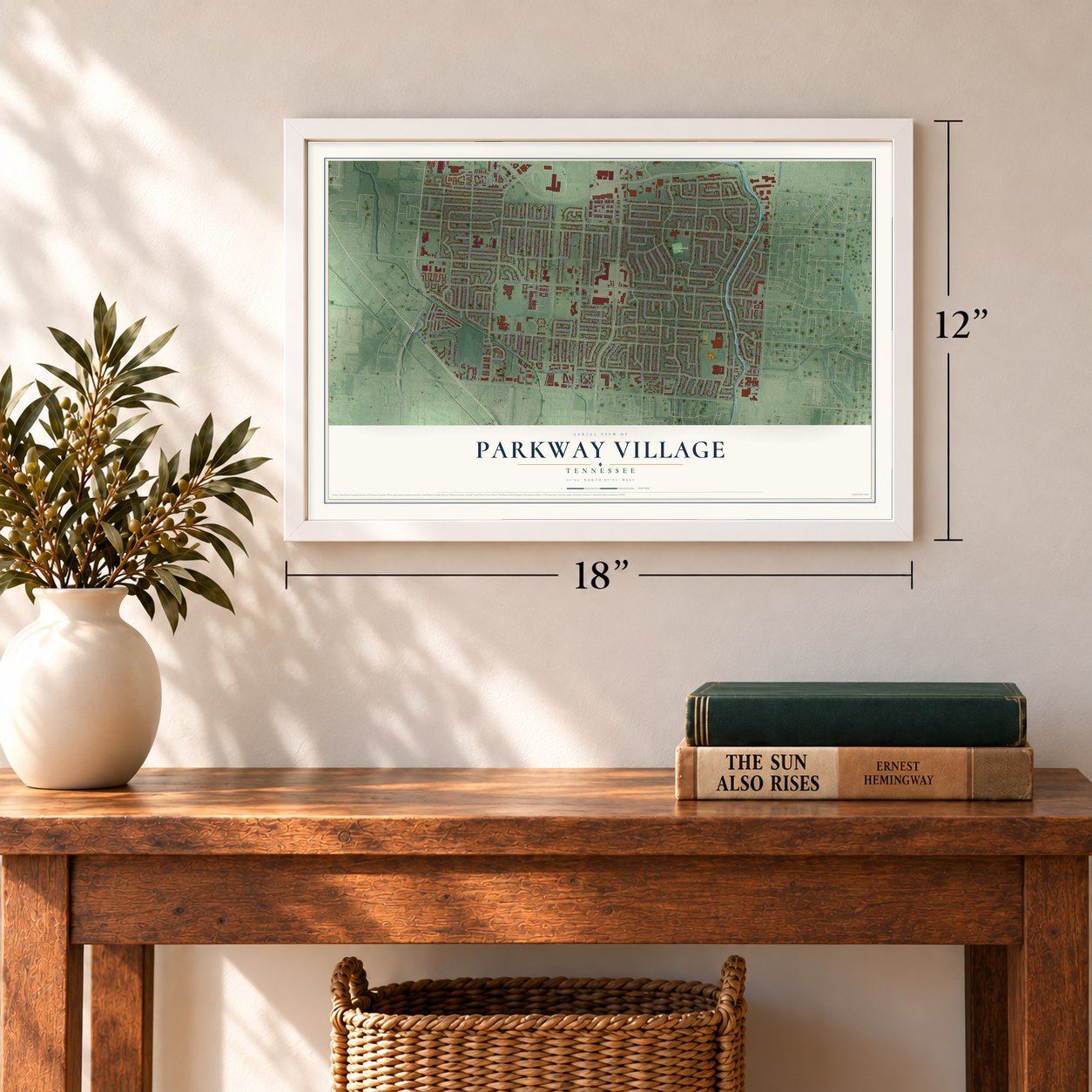
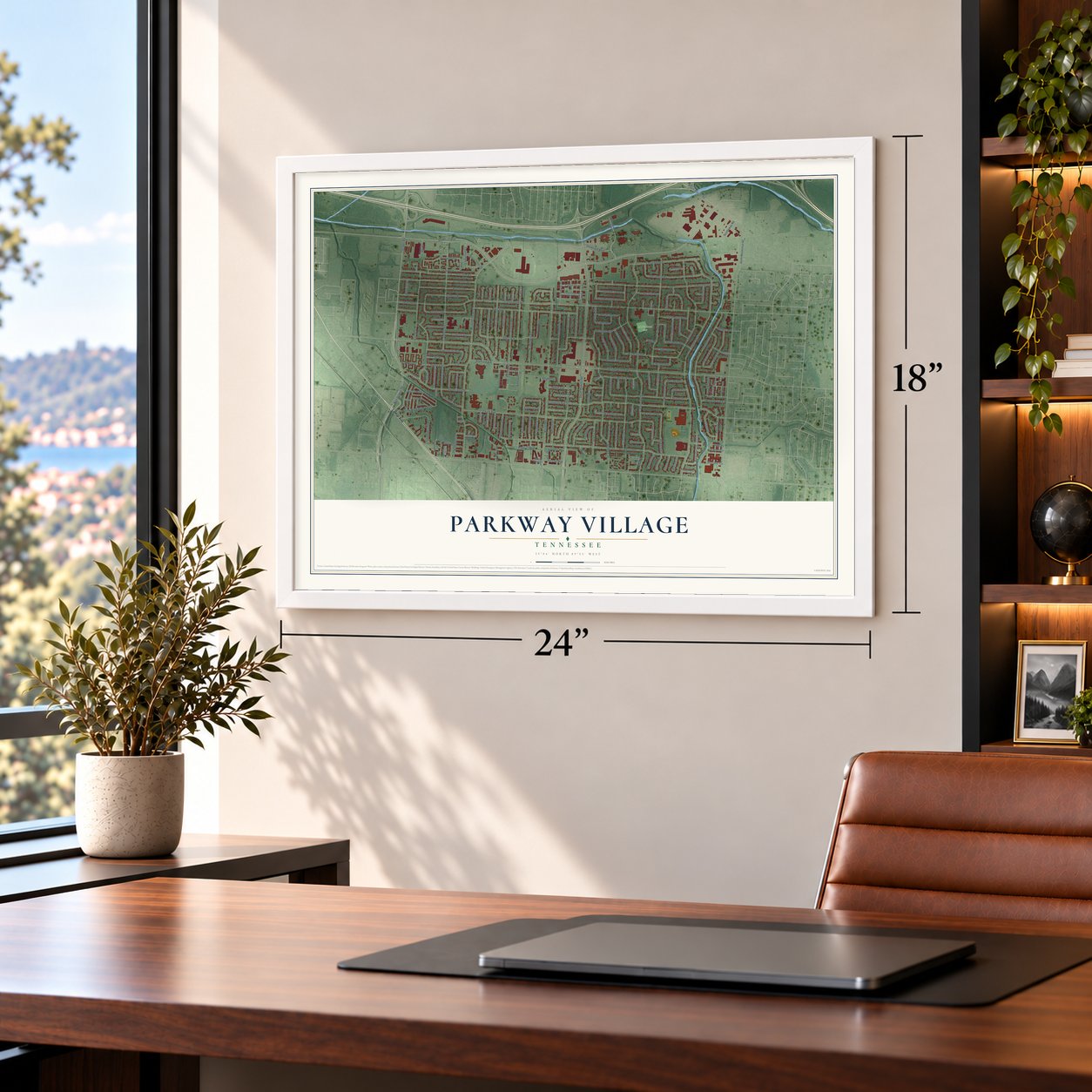
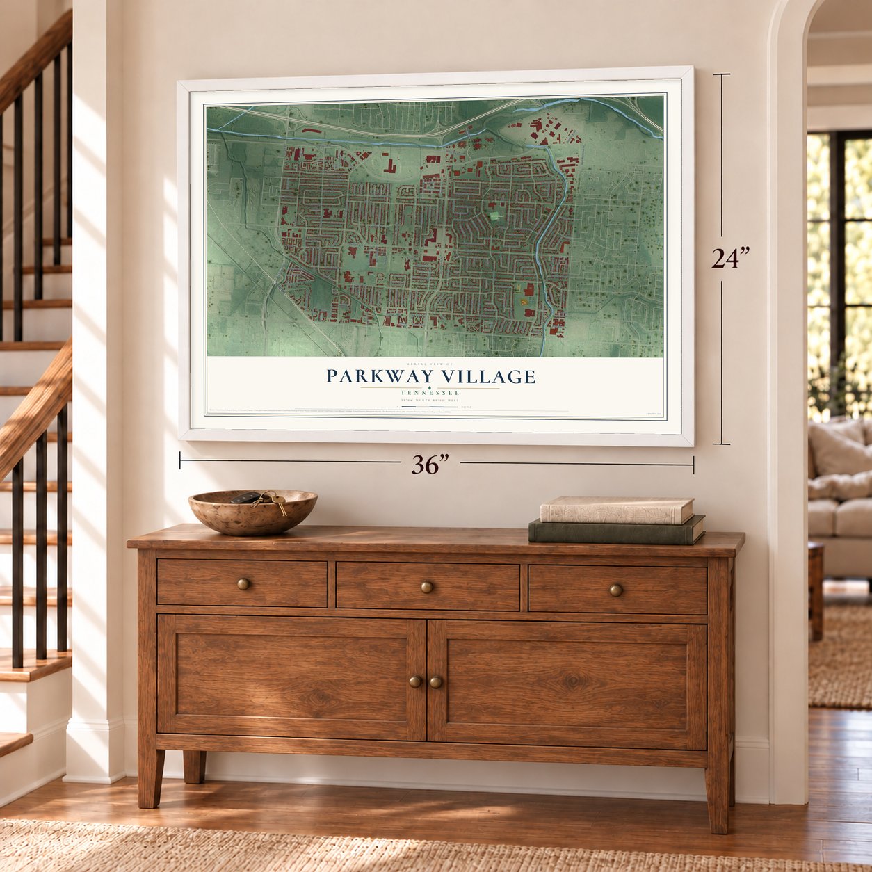
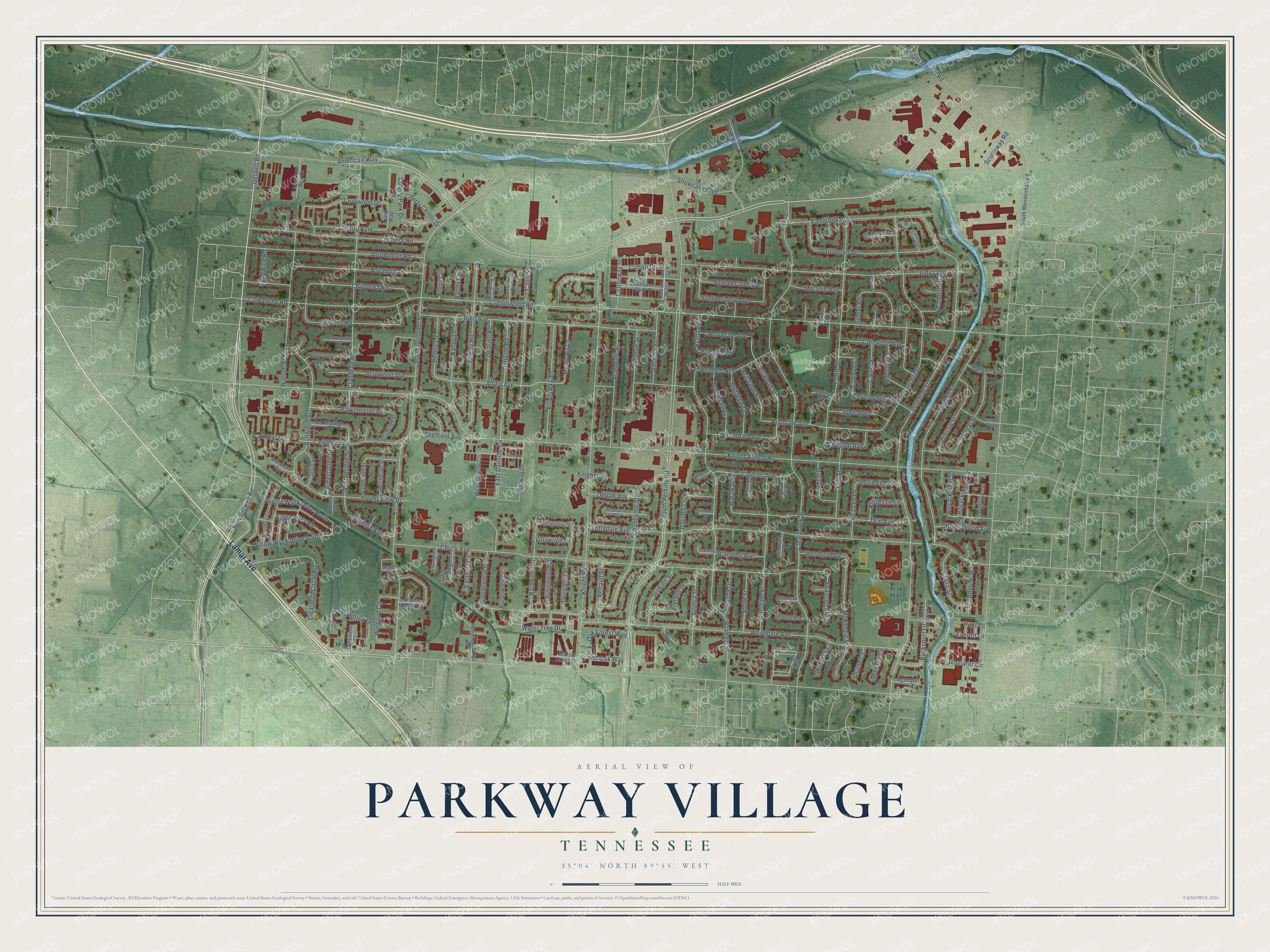
A new map of Parkway Village, Tennessee, made in 2026 and printed to order on thick archival matte paper.
12" x 18" Archival Matte Print
A Map of Home. A Work of Art.
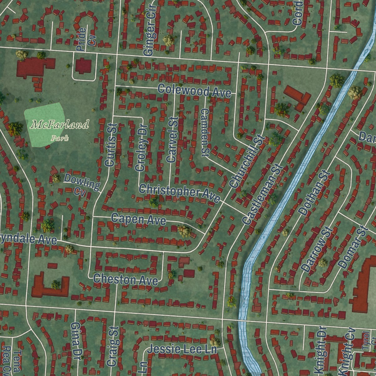
Explore Parkway Village, Tennessee from a whole new perspective. Created using aerial imagery and detailed geographic data, this map captures Parkway Village building by building, with labeled streets, familiar landmarks, and shaded topographical relief that highlights the natural contours of the landscape.
Combining modern data with the timeless character of a vintage atlas, this map is just as interesting up close as it is beautiful on the wall. Whether you grew up in Parkway Village, spent memorable years there, or call it home today, this unique map is a great way to celebrate a place that means something to you. Zoom in on the preview to look for your street, and then order a print to put your memories on the wall.
Three ways to hang it
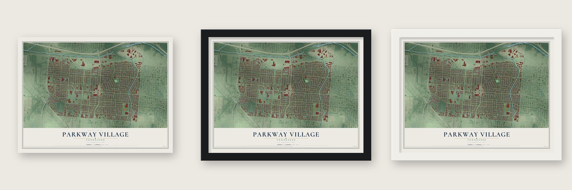
Unframed archival matte, a black wood frame or a white wood frame.
Up close
Geography Worth Displaying
This map was created using accurate cartographic data and authoritative geographic sources, including the U.S. Geological Survey and the Census Bureau. The map brings together terrain, waterways, roads, and building detail. The majority of the streets are labeled, houses are accurately depicted, and the topography is derived from government sources. Combining local data with carefully composed color and shading leads to this beautifully detailed Parkway Village artwork for your wall.
Rather than simply showing street outlines, we’ve included as many of the street names as we could reasonably fit on the map while keeping their names legible. Zoom in on the high resolution preview to see exactly what’s on the map. We truly set out to create a statement piece for anyone who loves Parkway Village. So whether it’s for you, or a gift for someone you love, we hope this map of Parkway Village brings back fond memories.
Read the story behind this map: Detailed Map of Parkway Village, Tennessee.

Find your street
Names on the Parkway Village map
Every name below is printed on this map. Look for your street, your school, the park where you played, or the pond down the road.
Places and landmarks2
- McFarland Park
- Tarry Park
Streets and roads196
- Lamar Avenue
- Getwell Road
- American Way
- Cherry Road
- New Getwell Road
- Basswood Street
- Aloha Avenue
- Bryndale Avenue
- East Danville Circle
- Swanson Street
- South Perkins Road
- Knight Arnold Road
- Cottonwood Road
- Castleman Street
- Clearbrook Street
- Chuck Avenue
- Wooddale Avenue
- South Goodlett Street
- Knight Road
- Scottsdale Avenue
- Boxdale Street
- Judy Lynn Avenue
- Claudette Road
- Curtis Street
- Almo Avenue
- Churchill Street
- Dothan Street
- Knightway Street
- Kenosha Road
- Cochese Road
Show all 196 streets
- Arrowhead Road
- Teal Avenue
- Chippewa Road
- Ashwood Street
- Fairbrook Avenue
- Starsdale Street
- Watson Street
- Darlington Drive
- Water Tree Drive
- Billway Drive
- Capri Street
- Clearpool Circle Road
- Navaho Avenue
- Atmore Street
- Chancellor Street
- Forest View Drive
- Domar Street
- Danville Road
- Arrendale Street
- Cordell Street
- Summerlane Avenue
- Woodhollow Drive
- Blanding Avenue
- Camelot Avenue
- Wayfarer Circle
- Ginger Circle
- Colony Park Drive
- Randy Lane
- McKenzie Street
- Dungreen Street
- Barbwood Drive
- Tarrywood Drive
- Colewood Avenue
- Brookdale Street
- Gaylord Lane
- Darrow Street
- Parkchester Avenue
- Sheffield Avenue
- Cloister Avenue
- Wingood Circle
- Willow Wyck Drive South
- Bondale Avenue
- Sophia Street
- Willow Wyck Drive North
- Mount Moriah Road
- Craig Street
- Cristil Street
- Eagle River Road
- Allshore Street
- Brandale Street
- Crazyhorse Drive
- Brentdale Avenue
- Royal Knight Drive
- Austinwood Drive
- Creighton Avenue
- Southbridge Street
- Bucksport Lane
- Bluffdale Street
- Showcase Boulevard
- Jenkins Street
- Freland Drive
- Arrowood Avenue
- Dearing Road
- Christopher Avenue
- Capen Avenue
- Deluth Avenue
- Renault Street
- Stone Street
- Brisdane Street
- Phyllis Lane
- Summerview Avenue
- Honeywood Avenue
- Nora Lee Lane
- Meadows Lane
- Royal Knight Cv
- Gina Drive
- Carvel Street
- Camelot Lane
- Melanie Avenue
- Croley Drive
- Forest Glen Street
- Berrydale Avenue
- Cheston Avenue
- Cherry Center Drive
- Adeline Street
- Kittie Lee Lane
- Cottonway Street
- Oak Forest Way
- Comanche Road
- Scottsway Road
- Luzon Drive
- Cotton Drive
- Forest Oak Way
- Jessie Lee Lane
- Eastport Cv
- Haraway Street
- Dargen Avenue
- Villawood Drive
- Redwing Road
- Marconi Cv
- Duane Cv
- Everett Lane
- Knight Cv
- Randy Cv
- Hunt Lane
- Cotton Way
- Villagreen Drive
- Thousand Oaks Boulevard
- South Mendenhall Road
- Tall Oaks Circle
- West Danville Circle
- Windy Hollow Circle
- Mediterranean Drive
- Sarabee Lane
- Camden Street
- Bridgedale Avenue
- Berrywood Avenue
- Harrington Avenue
- Cottonlane Avenue
- Derron Avenue
- Northbridge Avenue
- Dorchester Street
- American Way Drive
- Brutonwood Cv
- Forest Brook Drive
- Lynmouth Street
- Wooddale Cv
- McKenzie Cv
- Innsbrock Lane
- Wingate Cv
- Churchill Cv
- Demeter Cv
- Claudette Cv
- Ogunquit Lane
- Phyllis Cv
- Dearing Cv
- Danville Cv
- Willow Creek Drive
- Geronimo Court
- Ashview Cv
- Shuster Cv
- Tarry Way
- Tena Rea Cv
- Dowling Cv
- Coffee Drive
- Devel Street
- Pride Cv
- Chancellor Cv
- Wallingford Street
- Sunnyfield Cv
- Tena Ruth Cv
- Rose Creek Cv
- Tyrol Court
- Churnak Cv
- Forest Glen Cv
- Cotton Lane
- Blanding Cv
- Bobo Lane
- Menawa Circle
- Cochese Cv
- Brentway Drive
- Darlington Cv
- Cookie Cv
- Landview Street
- Cloister Cv
- Boxdale Cv
Names are listed as they appear on the printed map. Zoom into the product photos to find them.
The art of mapping a place
How This Map Was Made
Real places. Remarkable detail. Discover the layers that turn geographic data into a map of home.

The view from above
Aerial imagery reveals the character of the land: woodland, open fields, and the patterns of a place.

The shape of the land
Elevation data brings hills, valleys, and subtle changes in the landscape into view.

The details of home
Roads, waterways, and building footprints come together to make the map feel unmistakably local.

Geography becomes art
Considered color, shading, and typography bring the layers together in a map made for your wall.


Process illustrated with Mendon, Massachusetts. Aerial imagery: USDA NAIP. Terrain: USGS 3D Elevation Program. Map details and finished artwork: KNOWOL.
The Details
About This Print
Choose an archival matte print, or a black or white Ayous wood frame. The archival matte print is unframed.
Select your size and finish above to see the matching product image and price.
Materials & Craftsmanship
A contemporary map with the character of a classic atlas, printed on archival matte paper. Optional frames are made from Ayous wood.
Your printed map does not include the watermark shown in the full-map preview.
Shipping & Delivery
Free shipping within the United States. Every print is made to order in the USA.
Buying a gift? Add a note in your cart and we'll include it. We never put prices in the package.
Prints ship within 2 to 3 business days. Allow 7 to 10 days total from ordering for delivery. Timing may vary during holidays or periods of high order volume.
Read our shipping policy.
Returns and damaged prints
Each print is made to order. Change-of-mind refunds are not available after production.
If your print arrives damaged, misprinted or incorrect, contact support@knowol.com within 30 days of receiving it. Include your order number, photos and a description of the issue.
Read our full refund and replacement policy. For questions about your order, email support@knowol.com.
Find your town
Looking for another city?
Find a map of home in our Tennessee collection, or any town in the country.
Nearby
Maps of towns near Parkway Village
Know someone from one of these towns? Their map makes a great gift.
 Orange Mound
, Tennessee
From $39.99See the map
 East Memphis
, Tennessee
From $39.99See the map
 Hickory Hill
, Tennessee
From $39.99See the map
More maps nearby: Memphis, Cooper-Young, Germantown, Midtown and Whitehaven.