
Search for another town


Free U.S. delivery 7 to 10 days after you order
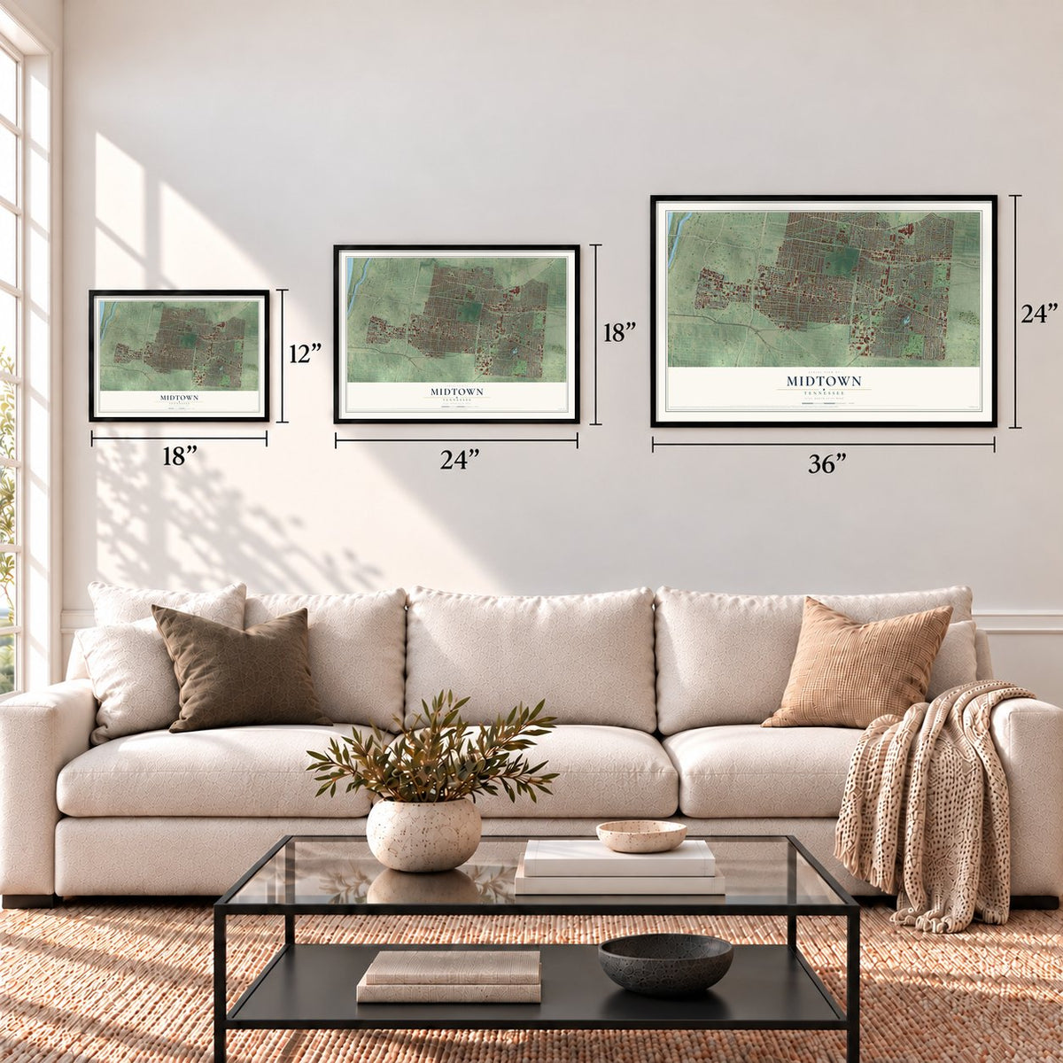
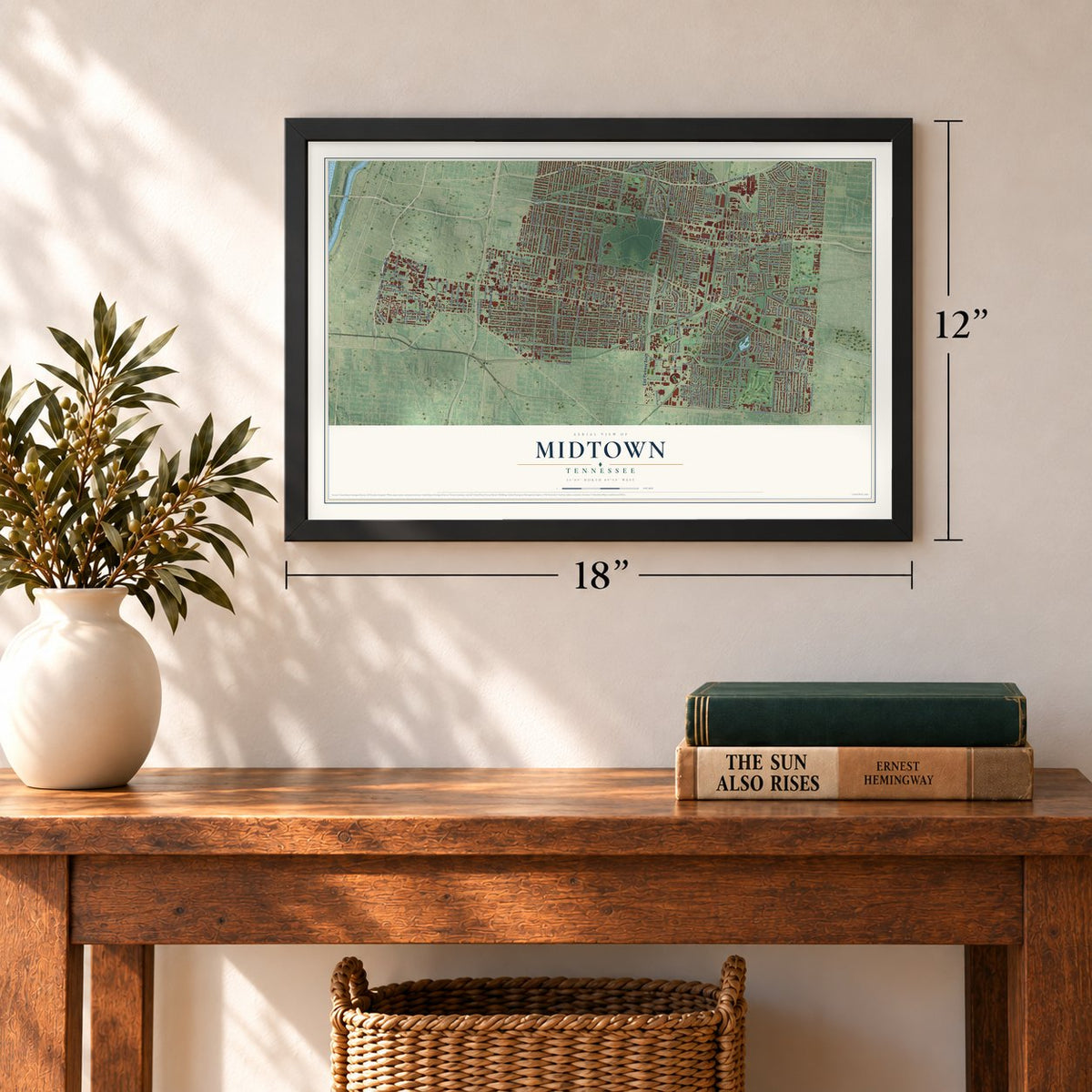
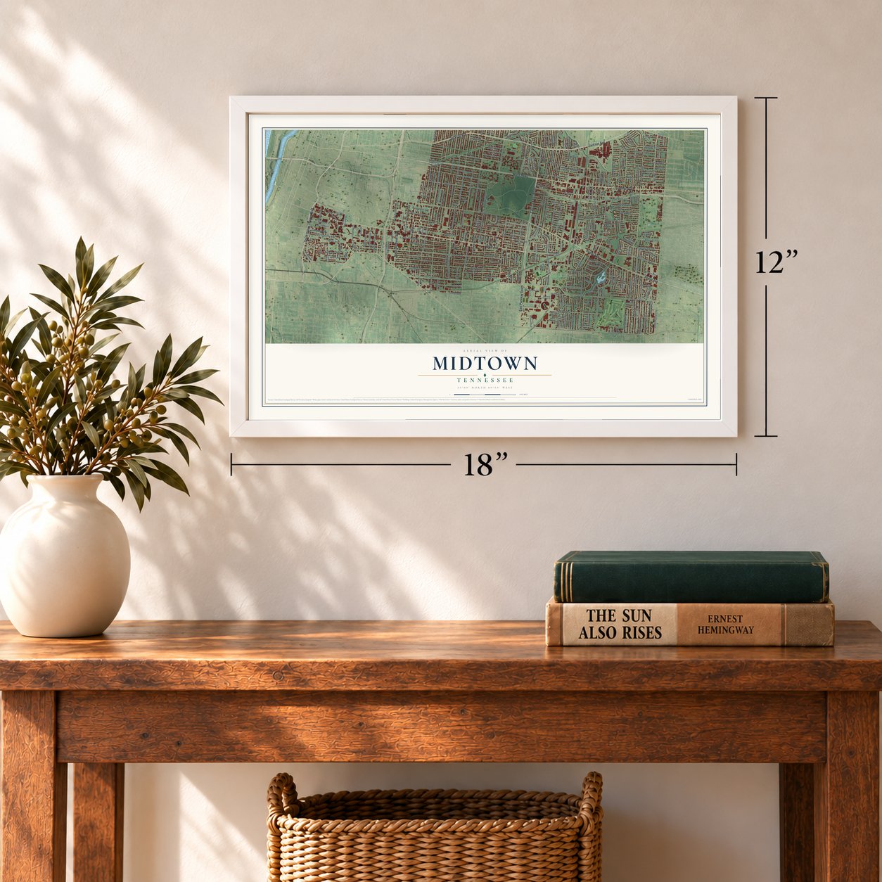
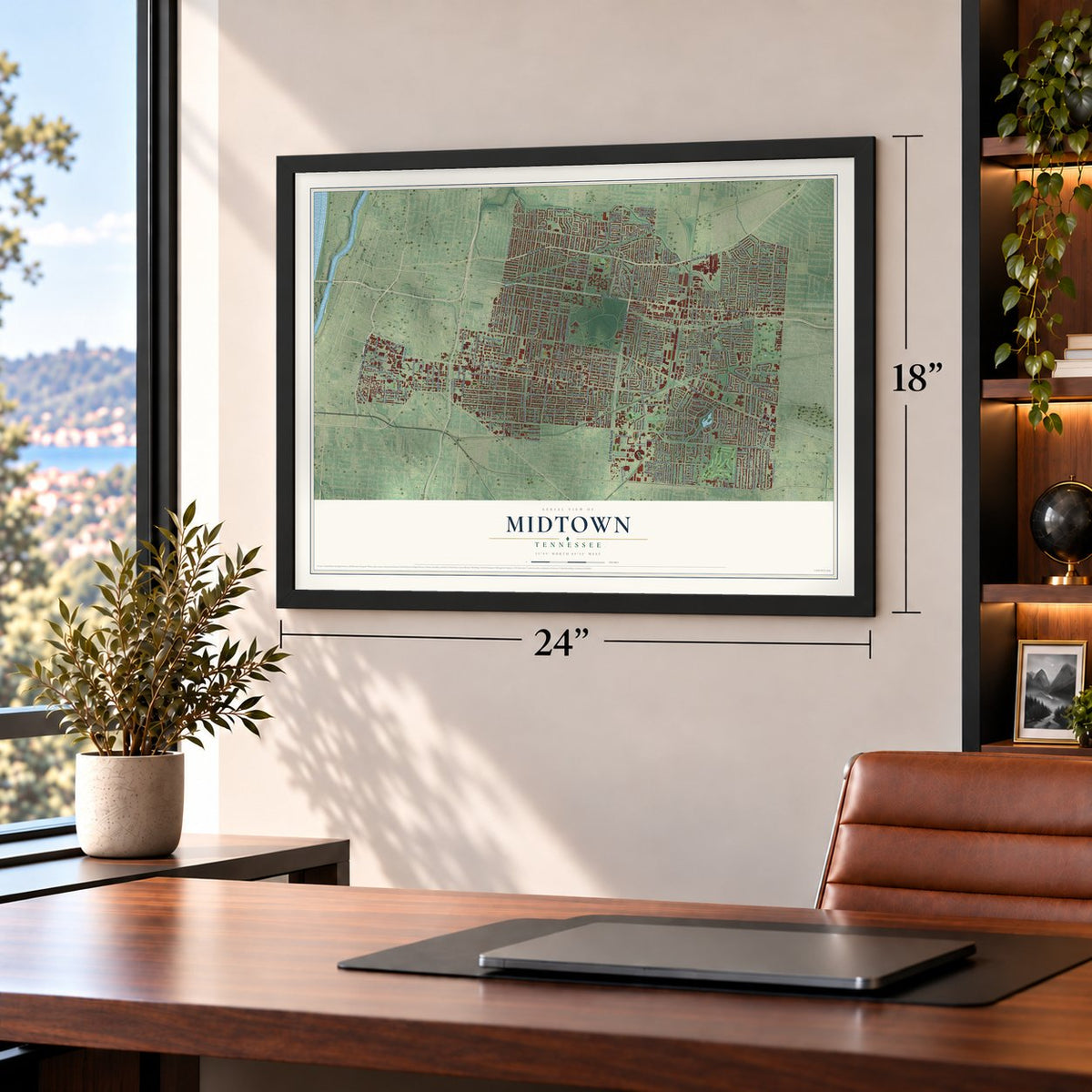
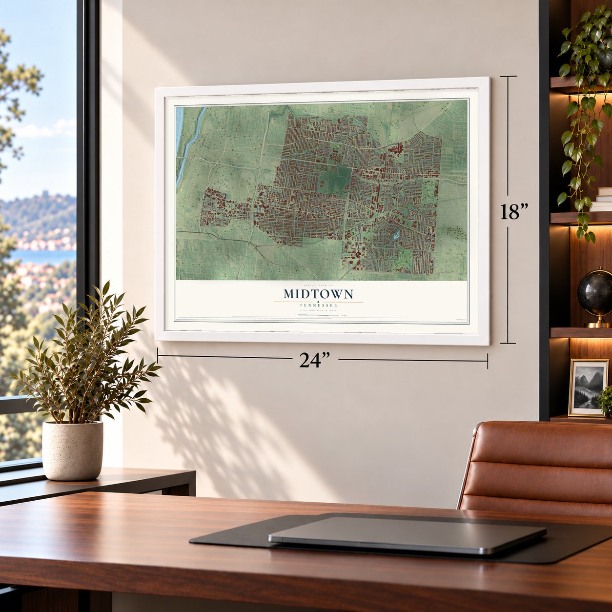
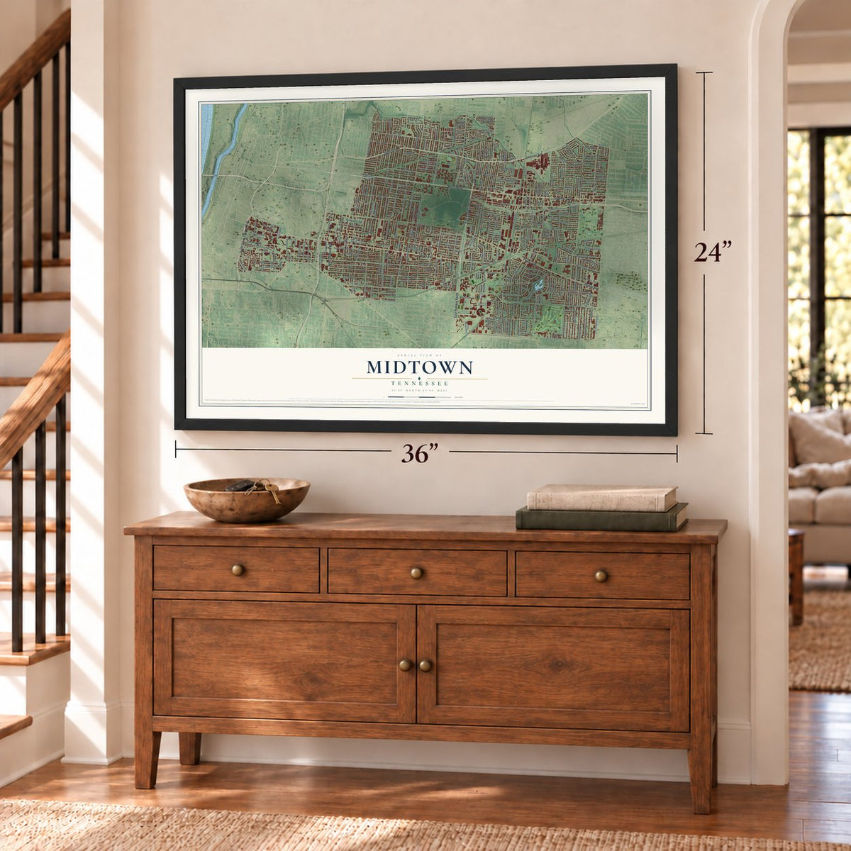
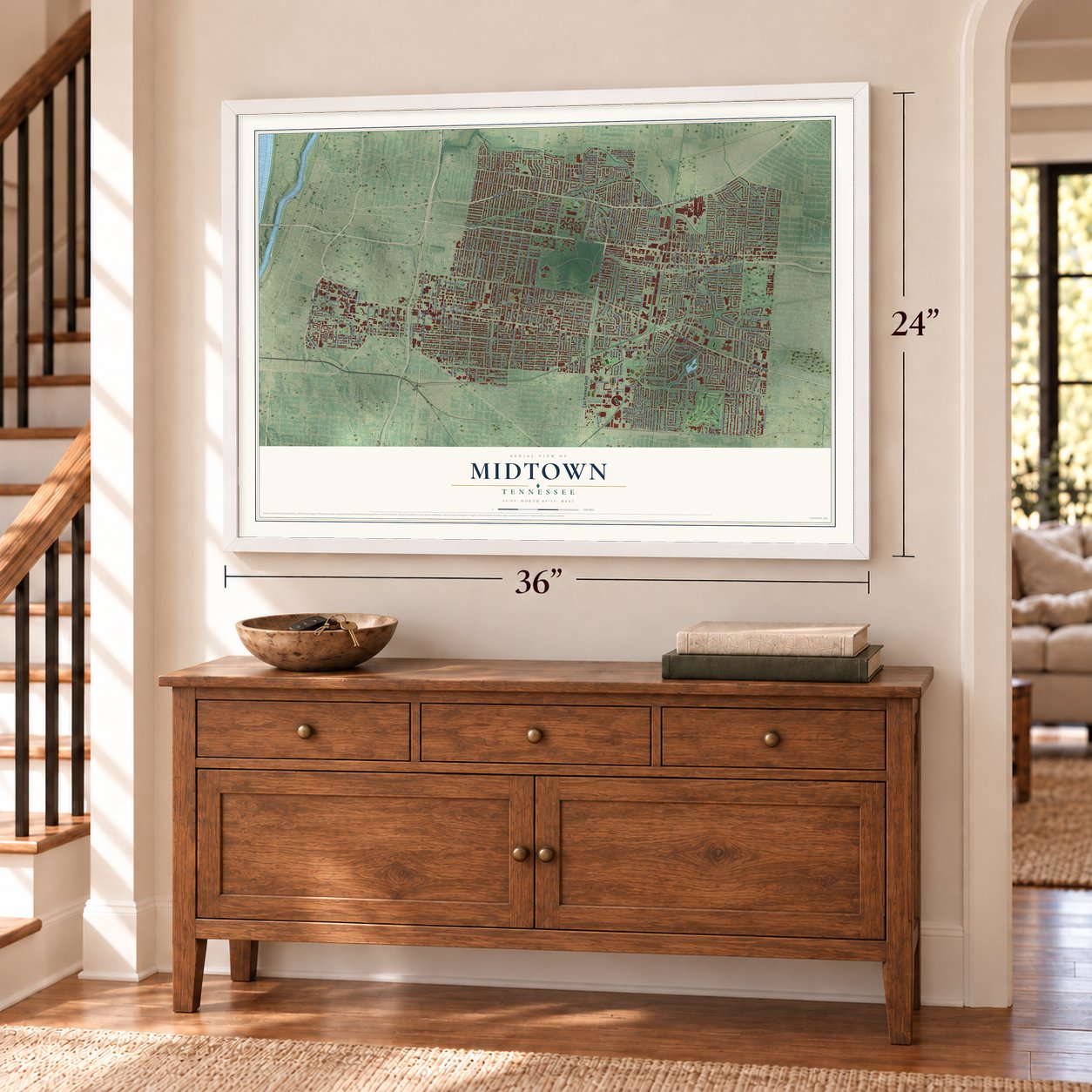
Midtown, Memphis, Tennessee Map Art
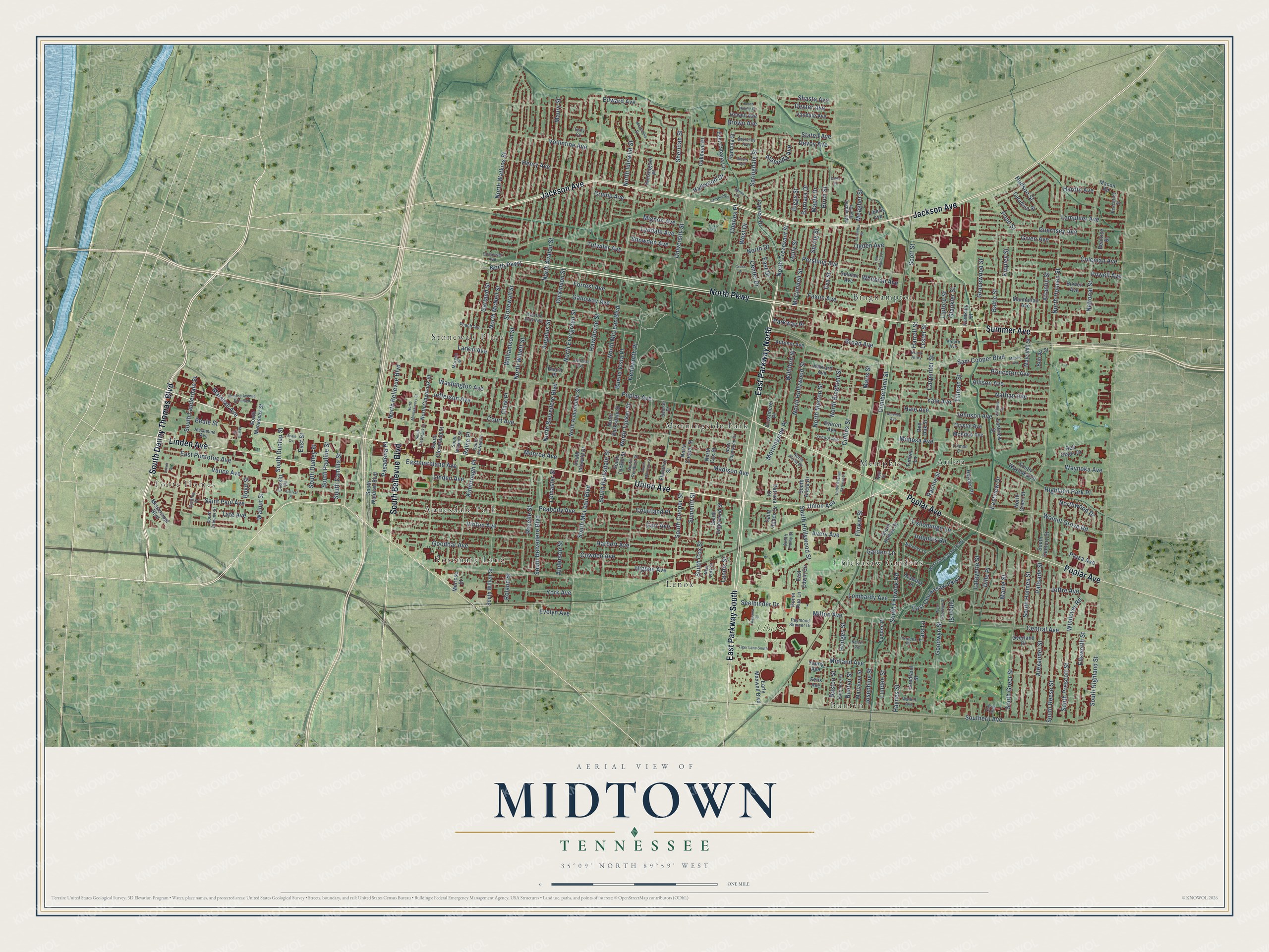
A new map of Midtown, Memphis, Tennessee, made in 2026 and printed to order on thick archival matte paper.
12" x 18" Archival Matte Print
A Map of Home. A Work of Art.
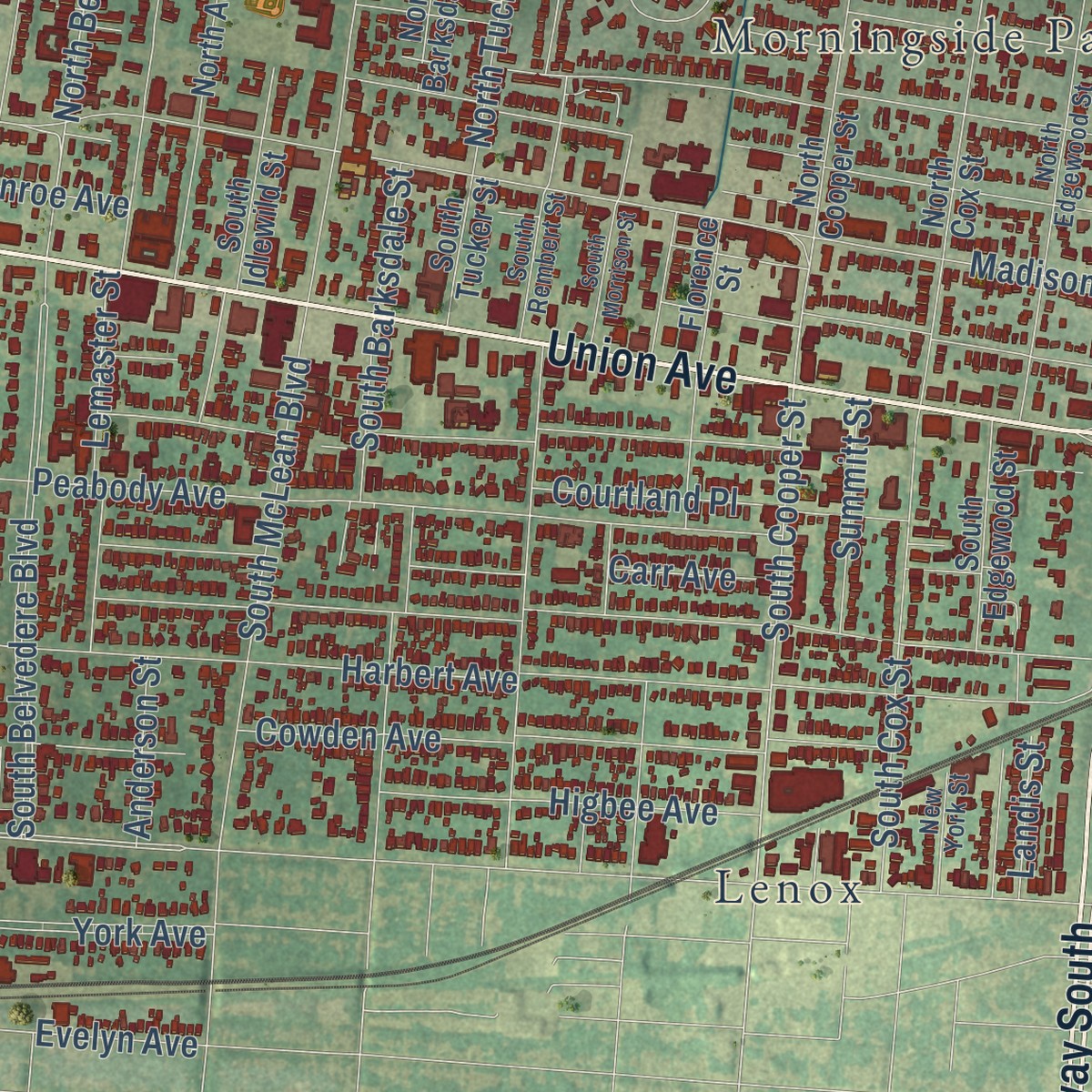
Explore Midtown, Tennessee from a whole new perspective. Created using aerial imagery and detailed geographic data, this map captures Midtown building by building, with labeled streets, familiar landmarks, and shaded topographical relief that highlights the natural contours of the landscape.
Combining modern data with the timeless character of a vintage atlas, this map is just as interesting up close as it is beautiful on the wall. Whether you grew up in Midtown, spent memorable years there, or call it home today, this unique map is a great way to celebrate a place that means something to you. Zoom in on the preview to look for your street, and then order a print to put your memories on the wall.
Three ways to hang it
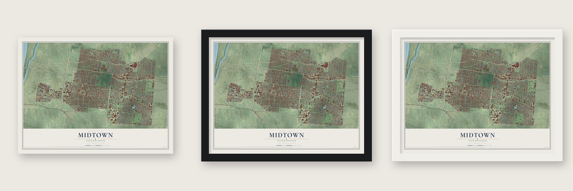
Unframed archival matte, a black wood frame or a white wood frame.
Up close
Geography Worth Displaying
This map was created using accurate cartographic data and authoritative geographic sources, including the U.S. Geological Survey and the Census Bureau. The map brings together terrain, waterways, roads, and building detail. The majority of the streets are labeled, houses are accurately depicted, and the topography is derived from government sources. Combining local data with carefully composed color and shading leads to this beautifully detailed Midtown artwork for your wall.
Rather than simply showing street outlines, we’ve included as many of the street names as we could reasonably fit on the map while keeping their names legible. Zoom in on the high resolution preview to see exactly what’s on the map. We truly set out to create a statement piece for anyone who loves Midtown. So whether it’s for you, or a gift for someone you love, we hope this map of Midtown brings back fond memories.
Read the story behind this map: Detailed Map of Midtown, Memphis, Tennessee.
Find your street
Names on the Midtown map
Every name below is printed on this map. Look for your street, your school, the park where you played, or the pond down the road.
Places and landmarks12
- Foote Homes
- Liberty Park
- Binghampton
- Stonewall Place
- Chickasaw Gardens
- Rosemary Lane
- Aulon
- Morningside Park
- Buntyn
- Lenox
- Annesdale Park
- Memphis
Streets and roads315
- North Parkway
- East Parkway North
- East Parkway South
- South Danny Thomas Boulevard
- Jackson Avenue
- Union Avenue
- South Bellevue Boulevard
- Linden Avenue
- Poplar Avenue
- Summer Avenue
- Walnut Grove Road
- North Drive
- South Cooper Street
- Central Avenue
- North Belvedere Boulevard
- East Street
- Sam Cooper Boulevard
- Tutwiler Avenue
- Madison Avenue
- Harbert Avenue
- Peabody Avenue
- Faxon Avenue
- Monroe Avenue
- Stonewall Street
- North Holmes Street
- North Watkins Street
- North Evergreen Street
- North McLean Boulevard
- North Avalon Street
- Vollintine Avenue
Show all 315 streets
- Vance Avenue
- Tillman Street
- Vinton Avenue
- National Street
- North McNeil Street
- North Hollywood Street
- Broad Avenue
- North Willett Street
- Hawthorne Street
- Scott Street
- University Street
- Jefferson Avenue
- North Bingham Street
- Eastmoreland Avenue
- Court Avenue
- Carr Avenue
- Galloway Avenue
- South Belvedere Boulevard
- Garland Street
- North Merton Street
- Midland Avenue
- South Reese Street
- Yale Avenue
- Princeton Avenue
- Pershing Avenue
- Henry Avenue
- Dickinson Street
- South Hollywood Street
- Forrest Avenue
- Brown Avenue
- Lyndale Avenue
- South Greer Street
- Pope Street
- Hudson Street
- Southern Avenue
- South Holmes Street
- Cowden Avenue
- Alexander Street
- Carpenter Street
- South Lauderdale Street
- Angelus Street
- Given Avenue
- South Fenwick Road
- Rozelle Street
- Guernsey Avenue
- Maury Street
- Baltic Street
- Crump Avenue
- Cumberland Street
- Johnson Avenue
- Collins Street
- Washington Avenue
- Coleman Avenue
- South McLean Boulevard
- South Prescott Street
- South Barksdale Street
- Lamphier Avenue
- Buntyn Street
- York Avenue
- Powell Avenue
- Hale Avenue
- Snowden Avenue
- Beale Street
- North Trezevant Street
- Avery Avenue
- South Cox Street
- Springdale Street
- Lipford Street
- North Idlewild Street
- East Chickasaw Parkway
- Highland Park Place
- Flicker Street
- Morningside Place
- Gracewood Street
- Saint Paul Avenue
- Edward Avenue
- Nathan Avenue
- Goodbar Avenue
- Waynoka Avenue
- Mignon Avenue
- Atlantic Street
- East Pontotoc Avenue
- Goodwyn Street
- Haynes Street
- Josephine Street
- Boston Street
- Lafayette Street
- Ellsworth Street
- Walnut Street
- Williford Street
- West Drive
- Joffre Avenue
- East Drive
- Eva Street
- Higbee Avenue
- McConnell Street
- Devoy Avenue
- Harrell Street
- Hardin Avenue
- Allison Avenue
- Center Drive
- Garden Lane
- Charles Place
- Sheridan Street
- Alameda Avenue
- Iroquois Road
- Spring Street
- South Camilla Street
- South Dudley Street
- Lemaster Street
- South Pauline Street
- Courtland Place
- Palisade Street
- Glankler Street
- Marne Street
- Tate Avenue
- South Highland Street
- Mimosa Avenue
- Northwood Drive
- Evelyn Avenue
- South Dunlap Street
- Kenilworth Place
- Lester Street
- Williamson Street
- Buena Vista Place
- Tishomingo Lane
- Barbara Drive
- North Bellevue Boulevard
- North Tucker Street
- Maple Drive
- Birch Street
- Kippley Street
- Biggs Street
- Dexter Avenue
- Hallwood Drive
- Marshall Avenue
- Seelbinder Drive
- Roland Street
- Lombardy Avenue
- Kimbrough Place
- Lundee Street
- Maris Street
- Parkway Place
- Summitt Street
- Clark Place
- Racine Street
- Shasta Avenue
- Milton Avenue
- Whitman Avenue
- Ogden Avenue
- Pasadena Place
- Boyd Street
- Eastview Drive
- Holly Street
- Windover Road
- Meagher Street
- Hodges Street
- Anderson Street
- Staten Avenue
- Larkin Avenue
- Plaza Avenue
- Dille Place
- Landis Street
- Tilton Street
- Tara Lane
- Raine Place
- South Alicia Drive
- Autumn Avenue
- South Willett Street
- North Auburndale Street
- North Barksdale Street
- South Cleveland Street
- Cypress Drive
- Early Maxwell Boulevard
- Harvard Avenue
- Melrose Street
- Malcomb Street
- South Humes Street
- McAdoo Avenue
- Mississippi Boulevard
- Manhattan Avenue
- South Waldran Boulevard
- South Edgewood Street
- Marianna Street
- Young Avenue
- Macon Road
- Oakmont Place
- Bowen Avenue
- North Cox Street
- North Cooper Street
- North Claybrook Street
- Florence Street
- Felix Avenue
- South Manassas Street
- South Idlewild Street
- South Century Street
- Dell Glade Drive
- Howell Avenue
- Overland Place
- East Cabana Circle
- Vandale Avenue
- Hayden Place
- Kensington Place
- South Waynoka Circle
- Everett Avenue
- Crystal Avenue
- Caradine Street
- Home Run Lane
- Eastview Street
- North Greer Street
- South Tucker Street
- Ramona Street
- Bon Air Street
- Crestmere Place
- East Edwin Circle
- Saint Agnes Drive
- Goodland Street
- Cossitt Place
- Arawata Lane
- Red Oak Street
- Patricia Drive
- Lundee Place
- Timber Lane
- Selman Avenue
- Franklin Street
- Beatrice Street
- Liberty Avenue
- Beard Place
- North Alicia Drive
- Overton Park Avenue
- South Rembert Street
- South Orleans Street
- West Chickasaw Parkway
- Peach Avenue
- South Watkins Street
- Cynthia Place
- North Edgewood Street
- Raymond Skinner Drive
- Belleair Drive
- Natchez Lane
- Terry Circle
- Walker Avenue
- Baltimore Street
- Springdale Run Drive
- School Avenue
- Jessamine Avenue
- Brack Alley
- Peachtree Street
- South McNeil Street
- Somerset Avenue
- Berkeley Avenue
- Morgan Street
- New York Street
- Neil Street
- South Finlay Street
- Frances Place
- Tillman Cv
- Alcorn Avenue
- Union Avenue Extended
- Vandalia Street
- North Montgomery Street
- South Claybrook Street
- West Goodwyn Street
- Alabama Street
- Columbia Street
- Tiger Lane South
- Lawrence Avenue
- Monticello Drive
- Monroe Avenue Extended
- South Morrison Street
- University Circle
- Los Angeles Street
- Madrid Avenue
- Albany Avenue
- Myrtle Street
- South Hubert Circle
- Cross Drive
- Beale Cv
- Estival Place
- Club Walk
- Amsden Avenue
- Nelson Avenue
- Henry Circle
- Driver Street
- Dana Drive
Names are listed as they appear on the printed map. Zoom into the product photos to find them.
The art of mapping a place
How This Map Was Made
Real places. Remarkable detail. Discover the layers that turn geographic data into a map of home.

The view from above
Aerial imagery reveals the character of the land: woodland, open fields, and the patterns of a place.

The shape of the land
Elevation data brings hills, valleys, and subtle changes in the landscape into view.

The details of home
Roads, waterways, and building footprints come together to make the map feel unmistakably local.

Geography becomes art
Considered color, shading, and typography bring the layers together in a map made for your wall.


Process illustrated with Mendon, Massachusetts. Aerial imagery: USDA NAIP. Terrain: USGS 3D Elevation Program. Map details and finished artwork: KNOWOL.
The Details
About This Print
Choose an archival matte print, or a black or white Ayous wood frame. The archival matte print is unframed.
Select your size and finish above to see the matching product image and price.
Materials & Craftsmanship
A contemporary map with the character of a classic atlas, printed on archival matte paper. Optional frames are made from Ayous wood.
Your printed map does not include the watermark shown in the full-map preview.
Shipping & Delivery
Free shipping within the United States. Every print is made to order in the USA.
Buying a gift? Add a note in your cart and we'll include it. We never put prices in the package.
Prints ship within 2 to 3 business days. Allow 7 to 10 days total from ordering for delivery. Timing may vary during holidays or periods of high order volume.
Read our shipping policy.
Returns and damaged prints
Each print is made to order. Change-of-mind refunds are not available after production.
If your print arrives damaged, misprinted or incorrect, contact support@knowol.com within 30 days of receiving it. Include your order number, photos and a description of the issue.
Read our full refund and replacement policy. For questions about your order, email support@knowol.com.
Find your town
Looking for another city?
Find a map of home in our Tennessee collection, or any town in the country.
Nearby
Maps of towns near Midtown
Know someone from one of these towns? Their map makes a great gift.
 Cooper-Young
, Tennessee
From $39.99See the map
 North Memphis
, Tennessee
From $39.99See the map
 Memphis
, Tennessee
From $39.99See the map
More maps nearby: Downtown Memphis, Orange Mound, South Memphis, East Memphis and Frayser.