
Search for another town

Free U.S. delivery 7 to 10 days after you order
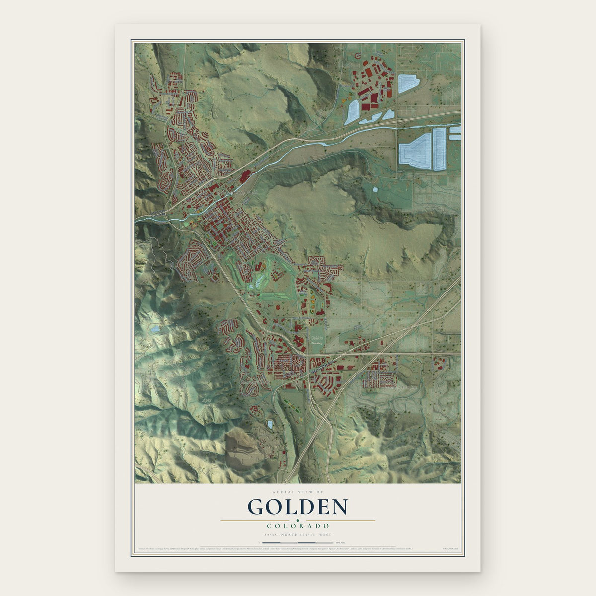
Golden, Colorado Map Art
Building by building, with labeled streets and shaded relief.
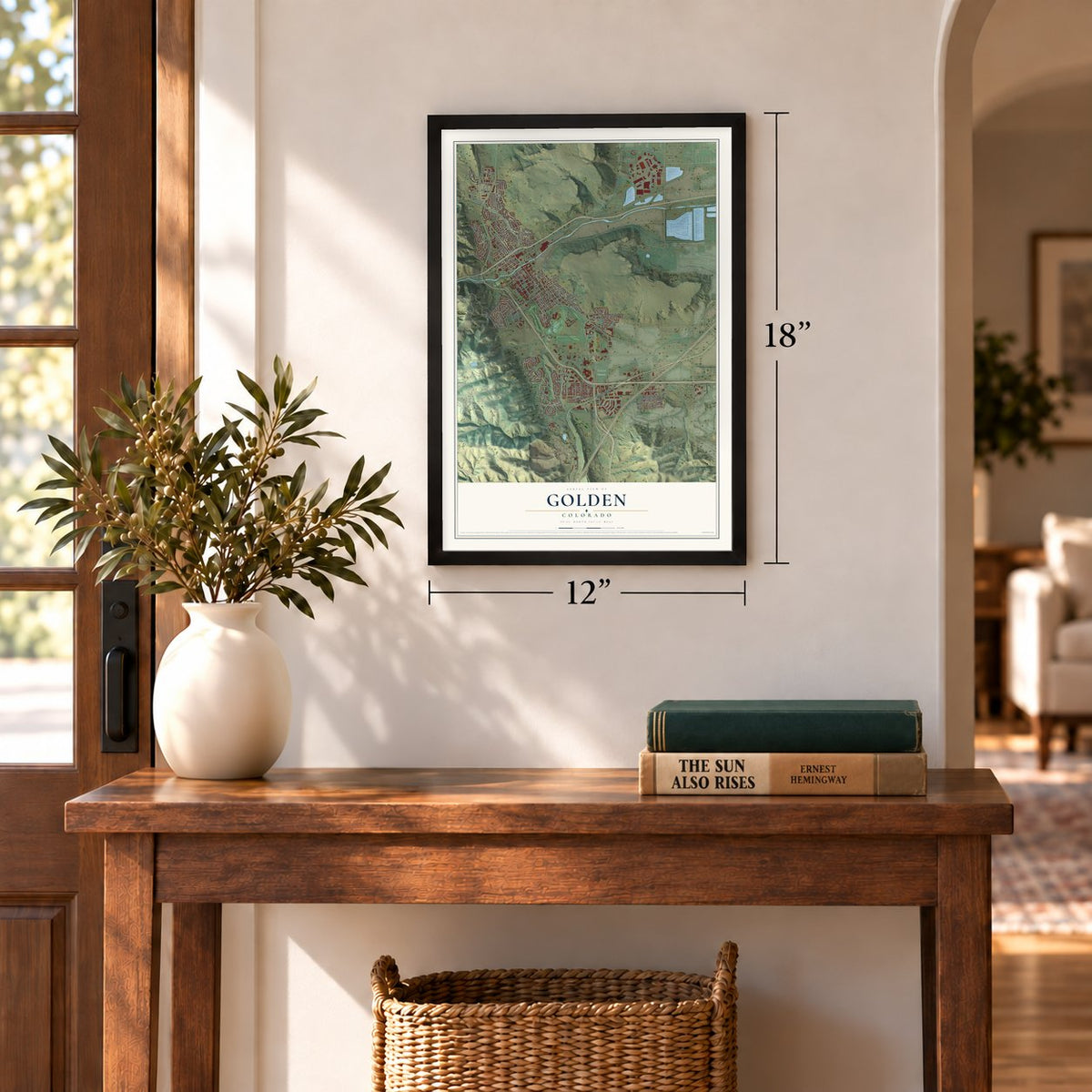
12" x 18" Archival Matte Print
A Map of Home. A Work of Art.
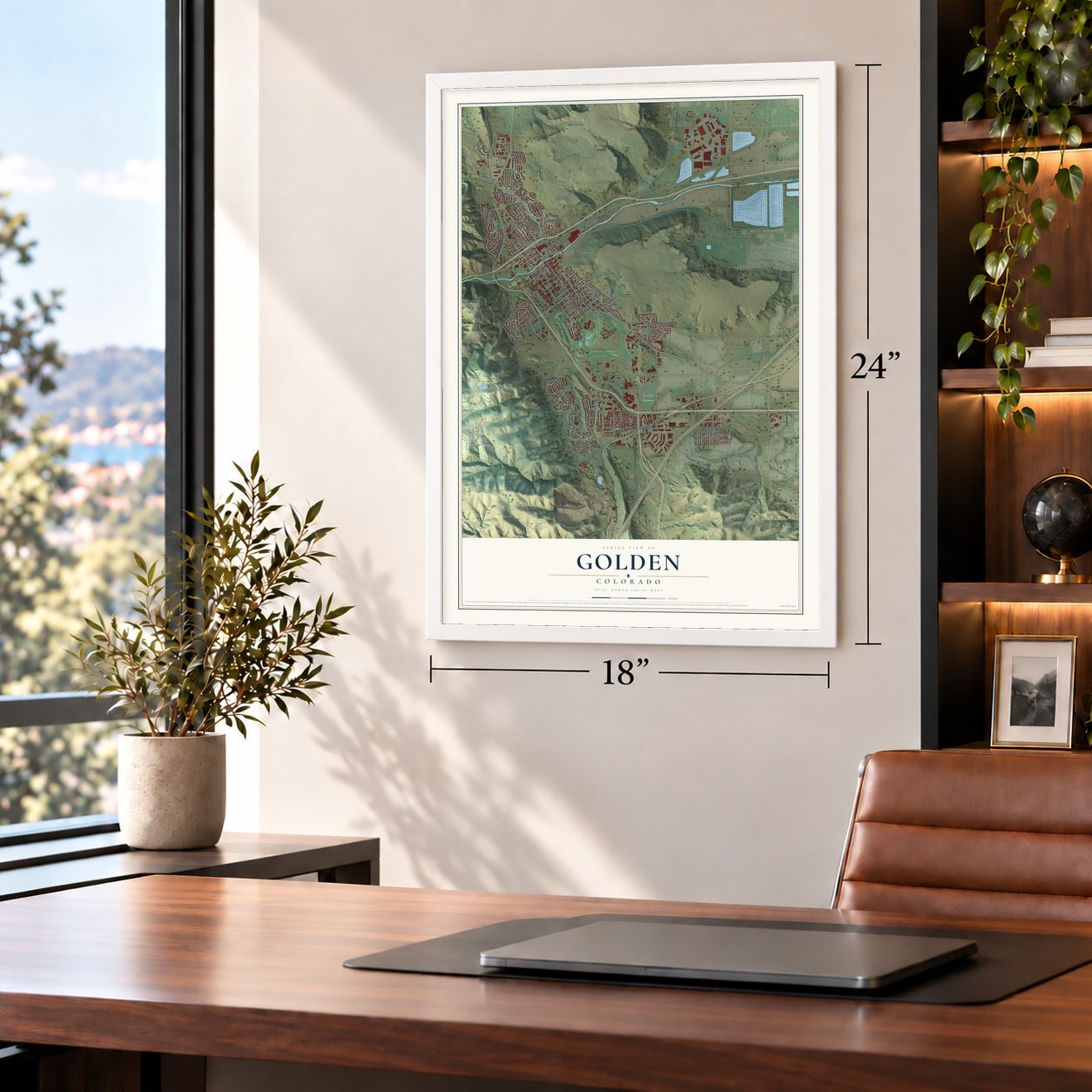
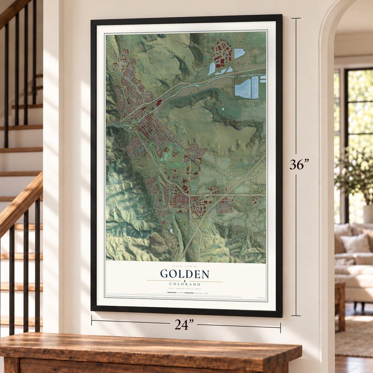
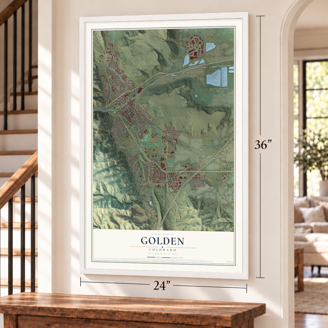
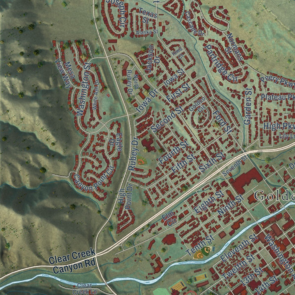
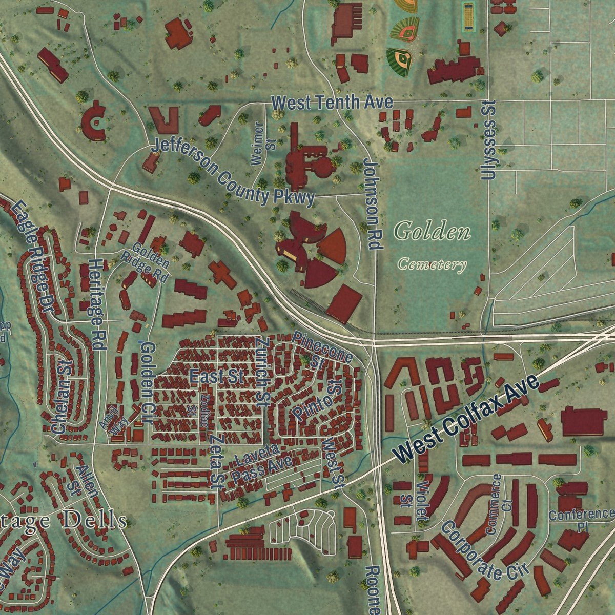
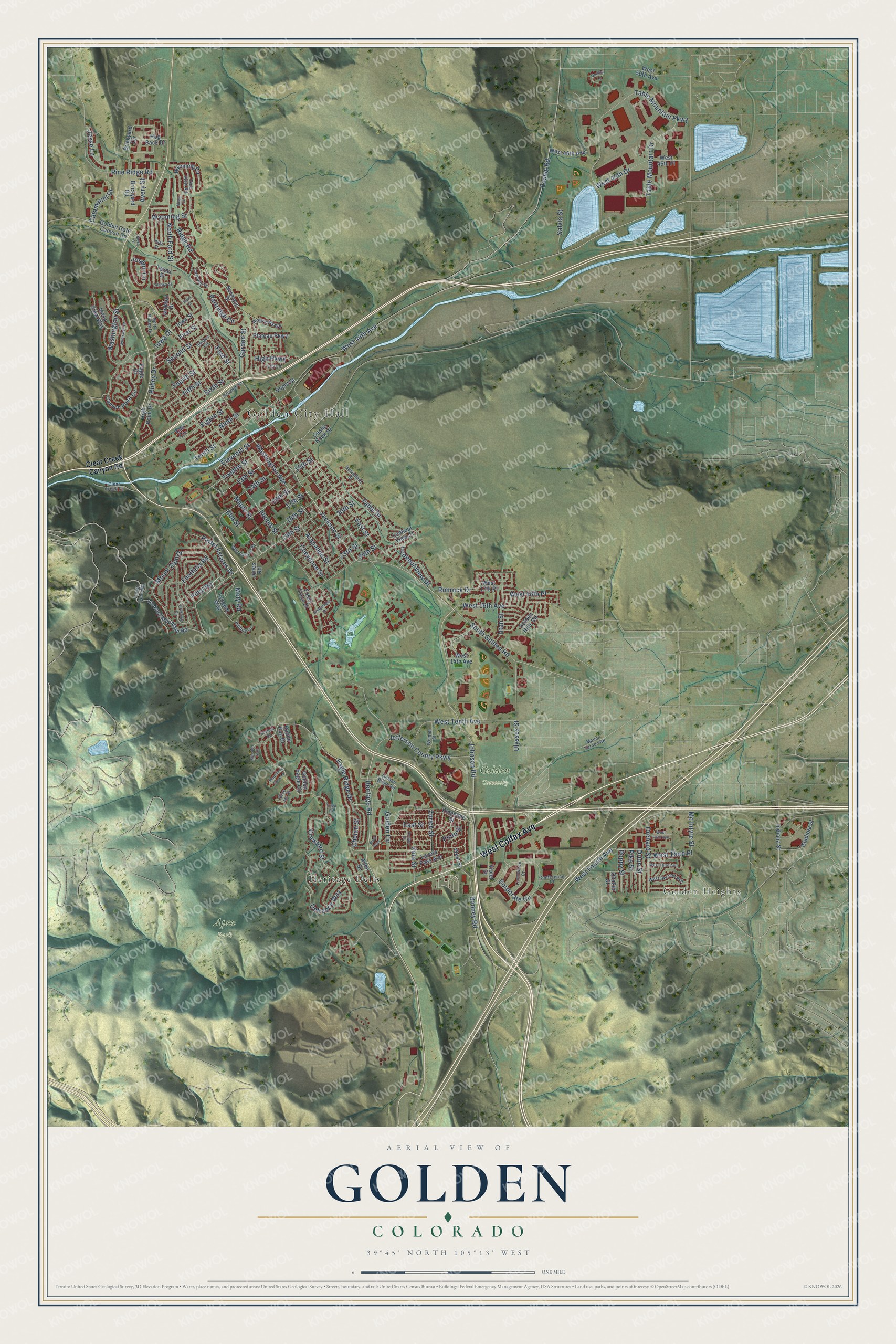
Explore Golden, Colorado from a whole new perspective. Created using aerial imagery and detailed geographic data, this map captures Golden building by building, with labeled streets, familiar landmarks, and shaded topographical relief that highlights the natural contours of the landscape.
Combining modern data with the timeless character of a vintage atlas, this map is just as interesting up close as it is beautiful on the wall. Whether you grew up in Golden, spent memorable years there, or call it home today, this unique map is a great way to celebrate a place that means something to you. Zoom in on the preview to look for your street, and then order a print to put your memories on the wall.
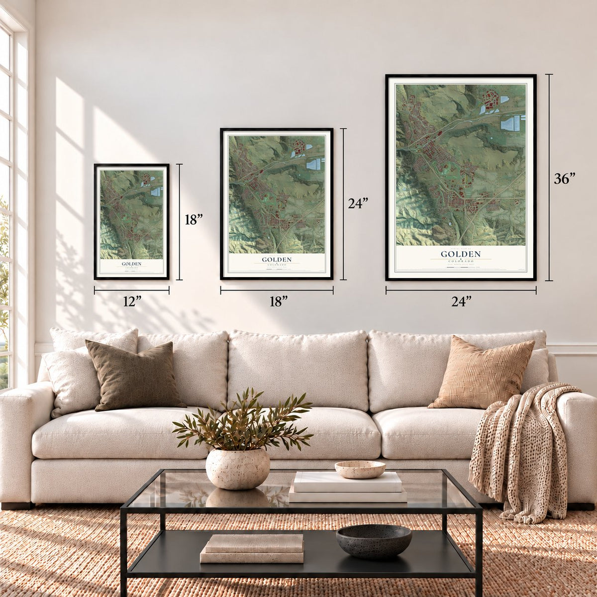
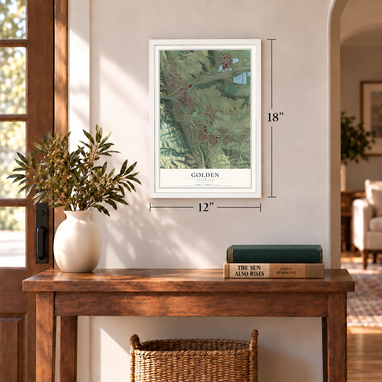
Three ways to hang it
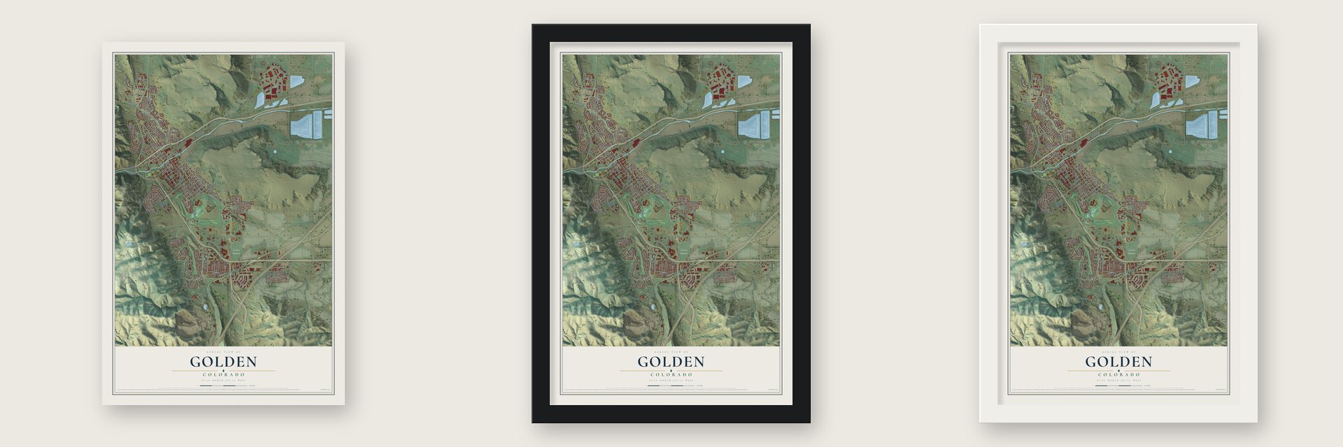
Unframed archival matte, a black wood frame or a white wood frame.
Up close
Geography Worth Displaying
This map was created using accurate cartographic data and authoritative geographic sources, including the U.S. Geological Survey and the Census Bureau. The map brings together terrain, waterways, roads, and building detail. The majority of the streets are labeled, houses are accurately depicted, and the topography is derived from government sources. Combining local data with carefully composed color and shading leads to this beautifully detailed Golden artwork for your wall.
Rather than simply showing street outlines, we’ve included as many of the street names as we could reasonably fit on the map while keeping their names legible. Zoom in on the high resolution preview to see exactly what’s on the map. We truly set out to create a statement piece for anyone who loves Golden. So whether it’s for you, or a gift for someone you love, we hope this map of Golden brings back fond memories.
Read the story behind this map of Golden, Colorado from 2026.
Find your street
Names on the Golden map
Every name below is printed on this map. Look for your street, your school, the park where you played, or the pond down the road.
Places and landmarks5
- Golden City Hall
- Golden Heights
- Apex Park
- Golden Cemetery
- Heritage Dells
Streets and roads159
- West Colfax Avenue
- Pinal Road
- Jackson Street
- Johnson Road
- Eleventh Street
- Twelfth Street
- 13th Street
- Eagle Ridge Drive
- Rooney Road
- South Golden Road
- Ridge Road
- Easley Road
- Heritage Road
- 19th Street
- Golden Circle
- Washington Street
- Washington Avenue
- Lookout View Drive
- Iowa Drive
- Maple Street
- West 16th Avenue
- Rubey Drive
- West 44th Avenue
- Illinois Street
- Ford Street
- East Street
- Arapahoe Street
- Table Mountain Parkway
- Ulysses Street
- West Fourth Avenue
Show all 159 streets
- Cheyenne Street
- Crawford Street
- Tenth Street
- North Ford Street
- Mount Zion Drive
- Pine Ridge Road
- Corporate Circle
- 18th Street
- West Tenth Avenue
- Jefferson County Parkway
- Eighth Street
- Fifth Street
- Rimrock Drive
- 23rd Street
- 24th Street
- Ninth Street
- Table Mountain Drive
- 14th Street
- 17th Street
- Orchard Street
- Wyoming Street
- 16th Street
- Joseph Circle
- 20th Street
- Partridge Circle
- Utah Street
- Foothills Road
- Sixth Street
- Zeta Street
- Defrance Way
- Parfet Estates Drive
- West Third Place
- Elm Street
- Poppy Street
- Catamount Drive
- West 45th Drive
- Jesse Lane
- Salvia Street
- 15th Street
- West 16th Place
- Pike Street
- First Street
- Second Street
- High Parkway
- Table Drive
- Garden Street
- Mc Intyre Street
- Orion Street
- Zurich Street
- Moly Road
- Chelan Street
- Pinto Street
- Avery Street
- Fourth Street
- Clear Creek Canyon Road
- Tangent Way
- Normans Street
- Indiana Street
- Lookout Mountain Road
- Pinecone Street
- Canyon Point Circle
- Brickyard Circle
- Violet Street
- Golden Eagle Circle
- West 50th Avenue
- Golden Hills Road
- Brickyard Road
- Golden Gate Canyon Road
- Mesa View Way
- Wyoming Circle
- Peery Parkway
- Laveta Pass Avenue
- West 46th Avenue
- West 45th Place
- Plateau Parkway
- Castle Rock Drive
- Hog Back Drive
- Lookout View Court
- West 17th Place
- Gladiola Street
- Fossil Trace Drive
- Rabbit Run Drive
- High Point Drive
- Jackson Drive
- Allen Street
- Eagle Drive
- Iowa Street
- West 14th Avenue
- Elm Circle
- Depot Street
- Jones Road
- Quaker Street
- West Street
- Texas Street
- Seventh Street
- North Rubey Drive
- Infinity Circle
- Goldco Circle
- Cascade Drive
- West Second Avenue
- Mount Vernon Road
- Lariat Loop Road
- Commerce Court
- Weimer Street
- Golden Ridge Road
- Conference Place
- Clear Creek Lane
- Pine View Road
- Belvedere Street
- Blue Jay Drive
- Lily Lane
- Mesa Drive
- West Campus Road
- White Ash Drive
- West Third Avenue
- Crestvue Circle
- West Fifth Avenue
- Marston Trail
- Zodiac Street
- Homestake Drive
- Quaker Lane
- Mourning Dove Lane
- Idaho Street
- Alaska Street
- Shelton Road
- Mesa Court
- Anvil Way
- Tripp Road
- Iowa Court
Names are listed as they appear on the printed map. Zoom into the product photos to find them.
About Golden, Colorado
Golden is a city of 20,399 people and the seat of Jefferson County, set along Clear Creek where the Front Range of the Rockies begins. Prospectors founded it as Golden City on June 16, 1859, in the middle of the Pike's Peak gold rush, and named it for Thomas L. Golden. Because it sat between the gold fields in the mountains and the towns on the plains, it quickly grew into a busy trading post.
By the end of 1860, voters had made Golden City the county seat, and it was serving as capital of the provisional Jefferson Territory. A territorial act of November 5, 1861, sent the capital to Colorado City, but on August 4, 1862, lawmakers voted to come back. Golden stayed capital of the Colorado Territory until 1867, when the seat of government moved about 12 miles east to the larger city of Denver.
“If we vote $500,000 in bonds to the Denver Pacific railway all is well. If we defeat those bonds, all hope of a railroad for the next two years is gone... Gentlemen of Denver, what will you do? The fate of your city is in your own hands.”
- The race to CheyenneOn February 9, 1865, W.A.H. Loveland started the Colorado Central Railroad, hoping a line north to the transcontinental railroad at Cheyenne would make Golden the commercial center of the territory. Denver answered with the Denver Pacific Railway, and its voters approved bonds to pay for it. The better-funded Denver line pulled ahead, and by 1870 Golden had lost. The Colorado Central turned west to Georgetown, Black Hawk and Central City, and it finally reached Cheyenne in 1877.
- The Lowell of the WestGolden grew into a center of industry with, at various times, three flour mills, five smelters, brick works, clay and coal mines, the Coors Brewery and the only paper mill west of Missouri. German, Swiss, Swedish, Italian and Chinese immigrants settled here, and five of them became mayor. Coors went on to run the largest single-site brewery in the world.
- Colorado School of MinesGolden gained three colleges in the 1870s, and the Colorado School of Mines is the one that lasted. It built a worldwide name in engineering and science, and its students have held E-Days every April since 1927. The National Earthquake Information Center sits on its campus.
- A high school for climbersIn 1993 the old Golden High School building, listed on the National Register in 1997, became the American Mountaineering Center. Outward Bound, the Colorado Mountain Club and the American Alpine Club all work from the building, which also holds a library with the world's largest collection of mountaineering books.
- Buffalo Bill Days since 1946The showman William F. "Buffalo Bill" Cody is buried just outside town on Lookout Mountain. Golden has honored him every late July since 1946 with Buffalo Bill Days, now the city's largest event of the year.
Keep exploring Colorado
Golden is one of 550 Colorado towns we've mapped. Every dot on the map is a print of its own.
The search covers every state, Colorado first.
Near Golden
Order 2 or more town maps and save 10%. Shown in the size and finish you picked above, so they hang as a set.
- West Pleasant View 12" x 18" / Archival Matte Print $39.99
- Applewood 12" x 18" / Archival Matte Print $39.99
- East Pleasant View 12" x 18" / Archival Matte Print $39.99

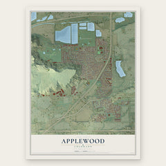
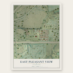
More maps nearby: Fairmount, Genesee, Idledale, Lakewood and Wheat Ridge.
The art of mapping a place
How This Map Was Made
Real places. Remarkable detail. Discover the layers that turn geographic data into a map of home.

The view from above
Aerial imagery reveals the character of the land: woodland, open fields, and the patterns of a place.

The shape of the land
Elevation data brings hills, valleys, and subtle changes in the landscape into view.

The details of home
Roads, waterways, and building footprints come together to make the map feel unmistakably local.

Geography becomes art
Considered color, shading, and typography bring the layers together in a map made for your wall.


Process illustrated with Mendon, Massachusetts. Aerial imagery: USDA NAIP. Terrain: USGS 3D Elevation Program. Map details and finished artwork: KNOWOL.
The Details
About This Print
Choose an archival matte print, or a black or white Ayous wood frame. The archival matte print is unframed.
Select your size and finish above to see the matching product image and price.
Materials & Craftsmanship
A contemporary map with the character of a classic atlas, printed on archival matte paper. Optional frames are made from Ayous wood.
Your printed map does not include the watermark shown in the full-map preview.
Shipping & Delivery
Free shipping within the United States. Every print is made to order in the USA.
Buying a gift? Add a note in your cart and we'll include it. We never put prices in the package.
Prints ship within 2 to 3 business days. Allow 7 to 10 days total from ordering for delivery. Timing may vary during holidays or periods of high order volume.
Read our shipping policy.
Returns and damaged prints
Each print is made to order. Change-of-mind refunds are not available after production.
If your print arrives damaged, misprinted or incorrect, contact support@knowol.com within 30 days of receiving it. Include your order number, photos and a description of the issue.
Read our full refund and replacement policy. For questions about your order, email support@knowol.com.