


Search for another town





Free U.S. delivery 7 to 10 days after you order
Hartland, Connecticut Map Art
Building by building, with labeled streets and shaded relief.
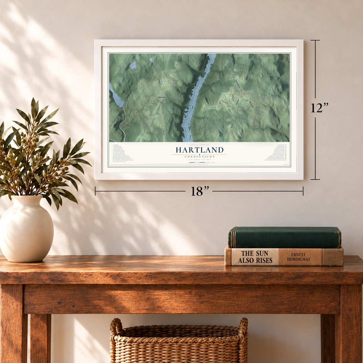
12" x 18" Archival Matte Print
A Map of Home. A Work of Art.
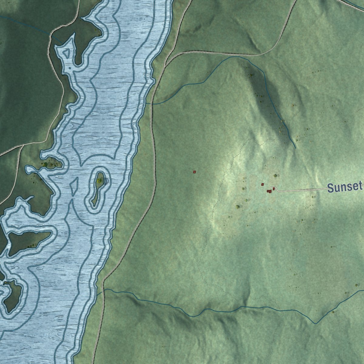
Explore Hartland, Connecticut from a whole new perspective. Created using aerial imagery and detailed geographic data, this map captures Hartland building by building, with labeled streets, familiar landmarks, and shaded topographical relief that highlights the natural contours of the landscape.
Combining modern data with the timeless character of a vintage atlas, this map is just as interesting up close as it is beautiful on the wall. Whether you grew up in Hartland, spent memorable years there, or call it home today, this unique map is a great way to celebrate a place that means something to you. Zoom in on the preview to look for your street, and then order a print to put your memories on the wall.

Three ways to hang it
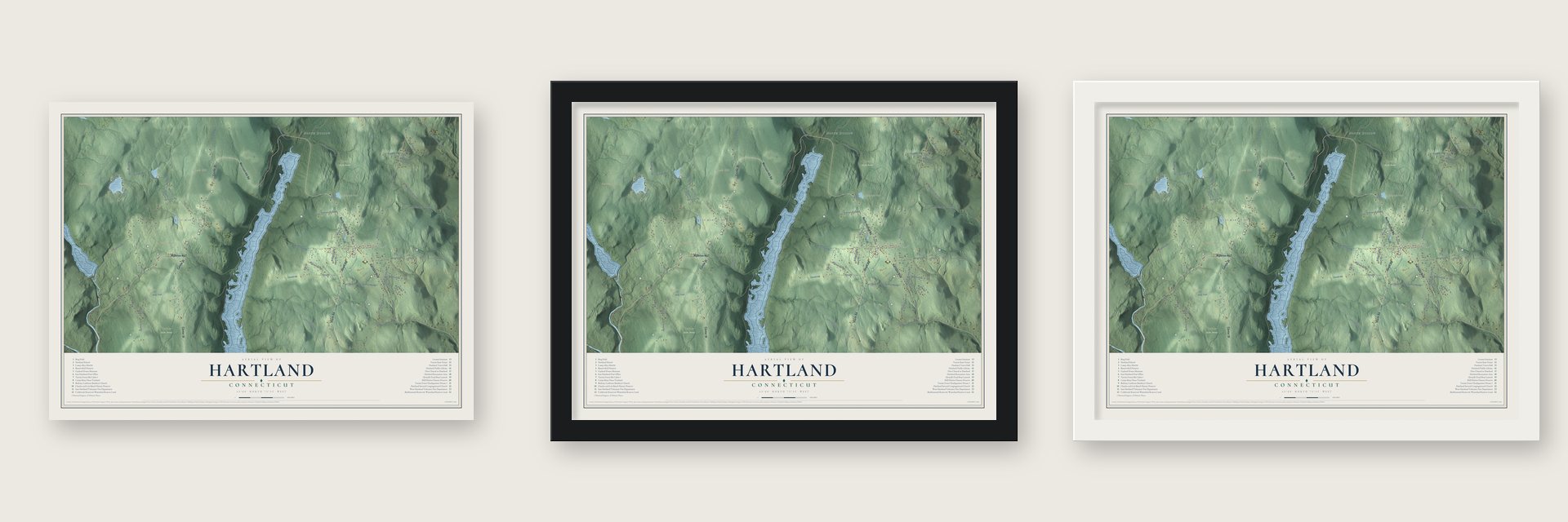
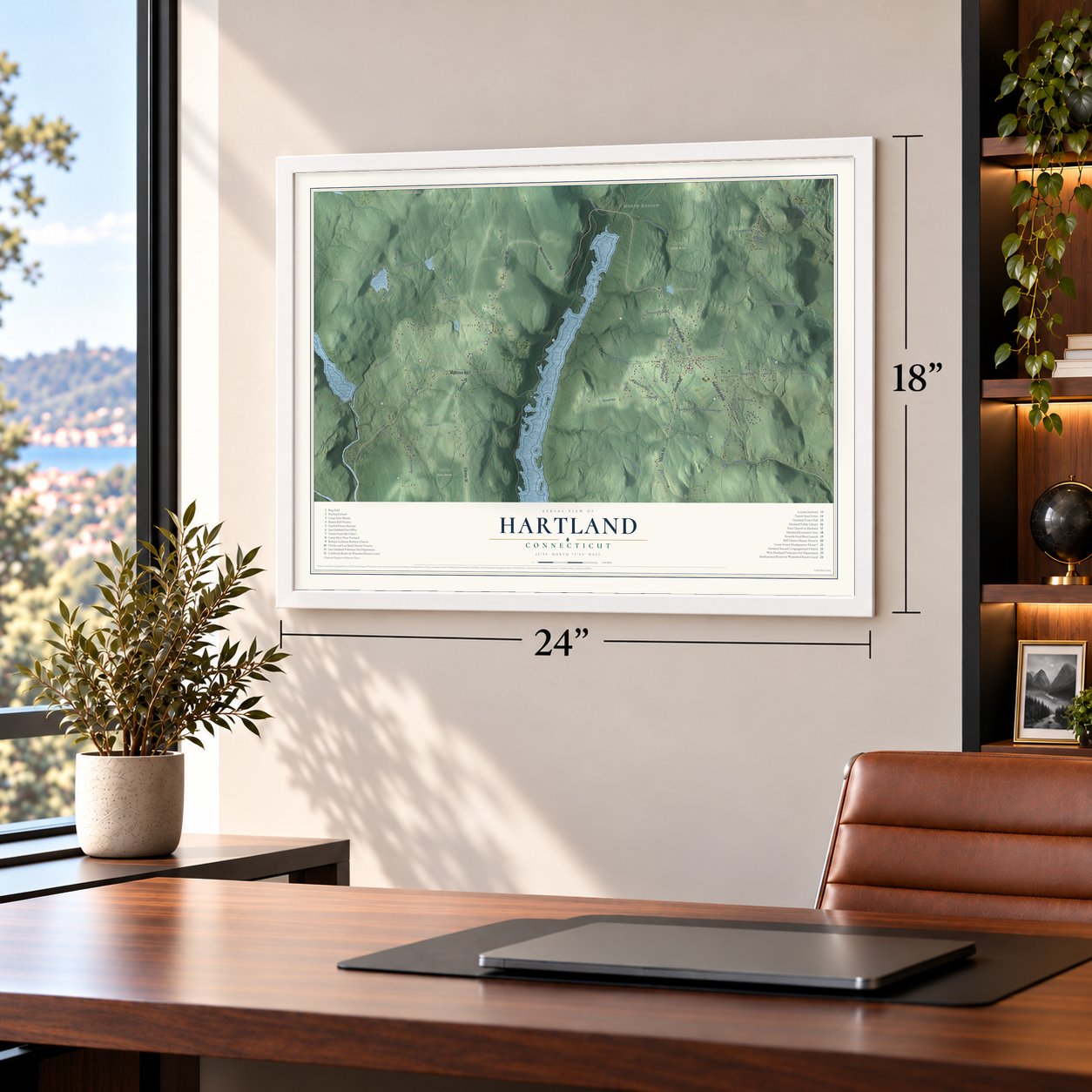
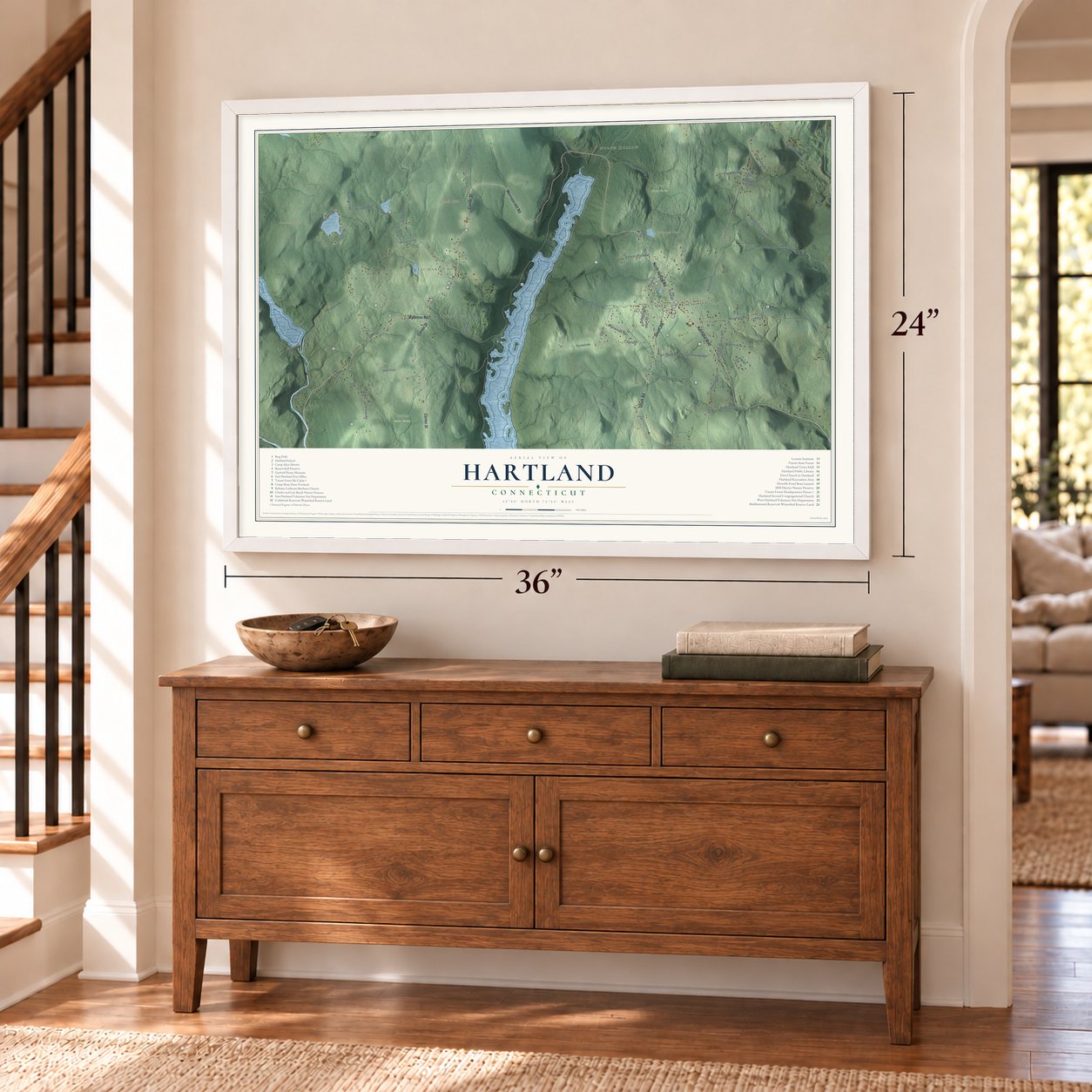
Unframed archival matte, a black wood frame or a white wood frame.
Up close
Geography Worth Displaying
This map was created using accurate cartographic data and authoritative geographic sources, including the U.S. Geological Survey (USGS) and FEMA. The map brings together terrain, waterways, roads, and building detail. The majority of the streets are labeled, houses are accurately depicted, and the topography is derived from government sources. Combining local data with carefully composed color and shading leads to this beautifully detailed Hartland artwork for your wall.
Rather than simply showing street outlines, we’ve included as many of the street names as we could reasonably fit on the map while keeping their names legible. Zoom in on the high resolution preview to see exactly what’s on the map. We truly set out to create a statement piece for anyone who loves Hartland. So whether it’s for you, or a gift for someone you love, we hope this map of Hartland brings back fond memories.
Explore the full map of Hartland, Connecticut and read about the local places it shows.

Find your street
Names on the Hartland map
Every name below is printed on this map. Look for your street, your school, the park where you played, or the pond down the road.
Places and landmarks12
- Downtown
- North Hollow
- East Hartland
- West Hartland
- Beecher Hill
- Booth Hill
- Center Hill
- Johnson Hill
- Emmons Pond
- Fosters Pond
- Peoples State Forest
- Tunxis State Forest
Streets and roads61
- Hartland Boulevard
- Riverton Road
- Center Street
- Morrison Hill Road
- South Road
- North Hollow Road
- Walnut Hill Road
- Granville Road
- Milo Coe Road
- Pond Hill Road
- Pine Mountain Road
- Pinehurst Road
- Mill Street
- Jeep Trail
- Peck Orchard Road
- Hi View Road
- Art Hayes Road
- Rengerman Hill Road
- Hogback Road
- Pell Road
- Hurricane Brook Road
- Pine Road
- Sunset Road
- Old Forge Road
- West Street
- North Lost Acres Road
- Mountain Road
- Fuller Road
- Dish Mill Road
- Pedersen Road
Show all 61 streets
- Old Skinner Road
- Stillman Road
- Pine Street
- Westwoods Road
- East Pell Road
- Millstone Road
- Fox Brook Road
- Balance Rock Road
- Pederson Road
- Anderson Road
- Durst Road
- Wilderness Road
- Brook Drive
- Fyler Road
- Old Town Road
- Dalene Road
- Eastwood Drive
- Town Pound Road
- Skaret Road
- Homewood Road
- Kensington Acres Road
- Jennifer Lane
- Welsh Road
- Emmons Road
- Eden Way
- Hans Drive
- Lost Acres Road
- Whisker Hollow Road
- Moosehorn Road
- Hayes Road
- Hi View Pond Road
Names are listed as they appear on the printed map. Zoom into the product photos to find them.
About Hartland, Connecticut
Hartland is a town of 1,901 people in the northwest corner of Hartford County, on the Massachusetts line. Its name is a shortened form of "Hartford land." In 1733 the 67 landowners who held this tract from Hartford organized as the Proprietors of Hartland. John Kendall, a Granby man running from his creditors, built a hut of river slabs in Hartland Hollow in 1753, but he stayed only about a year. Thomas Giddings and his wife, Mary Coult, came in 1754 and stayed for good, and Hartland became a town in 1761 with 212 people.
A rapid river split the town in two, so East and West Hartland each built a church, and from 1782 town meetings alternated between the two sides. In 1860 the town put up a town hall in Hartland Hollow, near the middle of town. Then the Metropolitan District Commission dammed the valley, and when the Saville Dam was finished in 1940, the rising water covered the Hollow. The project moved more than 1,000 people out of Hartland and Barkhamsted, along with four cemeteries and many farms, and to this day the reservoir separates the east side of town from the west.
“I went up and up and up until I bumped my head and then turned around and came back, and I had on a low cap, at that.”
- Ordained under the open skyEast Hartland's first minister, Rev. Sterling Graves, was ordained in 1768 outdoors, on a knoll south of the church. The west side raised a large meeting-house of its own in 1775, and in 1837 that building got a steeple and a bell, a gift from Stephen Goodyear.
- A forester's house from 1936In the 1930s Civilian Conservation Corps crews worked in Tunxis State Forest. In 1936 one crew built the Tunxis Forest Headquarters House on North Hollow Road as their camp office, with fieldstone end walls that hold fireplaces. The local forester lived there until 1948, and the house joined the National Register in 1986.
- A CCC ski lodgeIn 1937 crews from Camp Robinson built the Tunxis Forest Ski Cabin, a log lodge with a big fieldstone chimney, as the base of their ski area at the end of Balance Rock Road. The cabin joined the National Register in 1986, the same year as the headquarters house.
- Hilltop pasturesAn 1837 book found Hartland cold and frosty, its soil poor for grain but good for grazing. Farmers made butter, cheese, beef and pork, and farmers farther east sent their young cattle and sheep up the hills to pasture each spring and summer. Farming was still the main work in 1890, when the census counted 565 people.
- Asher Benjamin, born 1773Asher Benjamin was born in Hartland in 1773. He went on to write the first books of architectural patterns by an American author, and builders who followed them helped give towns across New England their look.
Keep exploring Connecticut
Hartland is one of 382 Connecticut towns we've mapped. Every dot on the map is a print of its own.
The search covers every state, Connecticut first.
Near Hartland
Order 2 or more town maps and save 10%. Shown in the size and finish you picked above, so they hang as a set.
- Riverton 12" x 18" / Archival Matte Print $39.99
- Barkhamsted 12" x 18" / Archival Matte Print $39.99
- Colebrook 12" x 18" / Archival Matte Print $39.99


More maps nearby: North Granby, Granby, Pleasant Valley, Winsted and New Hartford Center.
The art of mapping a place
How This Map Was Made
Real places. Remarkable detail. Discover the layers that turn geographic data into a map of home.

The view from above
Aerial imagery reveals the character of the land: woodland, open fields, and the patterns of a place.

The shape of the land
Elevation data brings hills, valleys, and subtle changes in the landscape into view.

The details of home
Roads, waterways, and building footprints come together to make the map feel unmistakably local.

Geography becomes art
Considered color, shading, and typography bring the layers together in a map made for your wall.


Process illustrated with Mendon, Massachusetts. Aerial imagery: USDA NAIP. Terrain: USGS 3D Elevation Program. Map details and finished artwork: KNOWOL.
The Details
About This Print
Choose an archival matte print, or a black or white Ayous wood frame. The archival matte print is unframed.
Select your size and finish above to see the matching product image and price.
Materials & Craftsmanship
A contemporary map with the character of a classic atlas, printed on archival matte paper. Optional frames are made from Ayous wood.
Your printed map does not include the watermark shown in the full-map preview.
Shipping & Delivery
Free shipping within the United States. Every print is made to order in the USA.
Buying a gift? Add a note in your cart and we'll include it. We never put prices in the package.
Prints ship within 2 to 3 business days. Allow 7 to 10 days total from ordering for delivery. Timing may vary during holidays or periods of high order volume.
Read our shipping policy.
Returns and damaged prints
Each print is made to order. Change-of-mind refunds are not available after production.
If your print arrives damaged, misprinted or incorrect, contact support@knowol.com within 30 days of receiving it. Include your order number, photos and a description of the issue.
Read our full refund and replacement policy. For questions about your order, email support@knowol.com.