
Search for another town


Free U.S. delivery 7 to 10 days after you order
Hilliard, Ohio Map Art
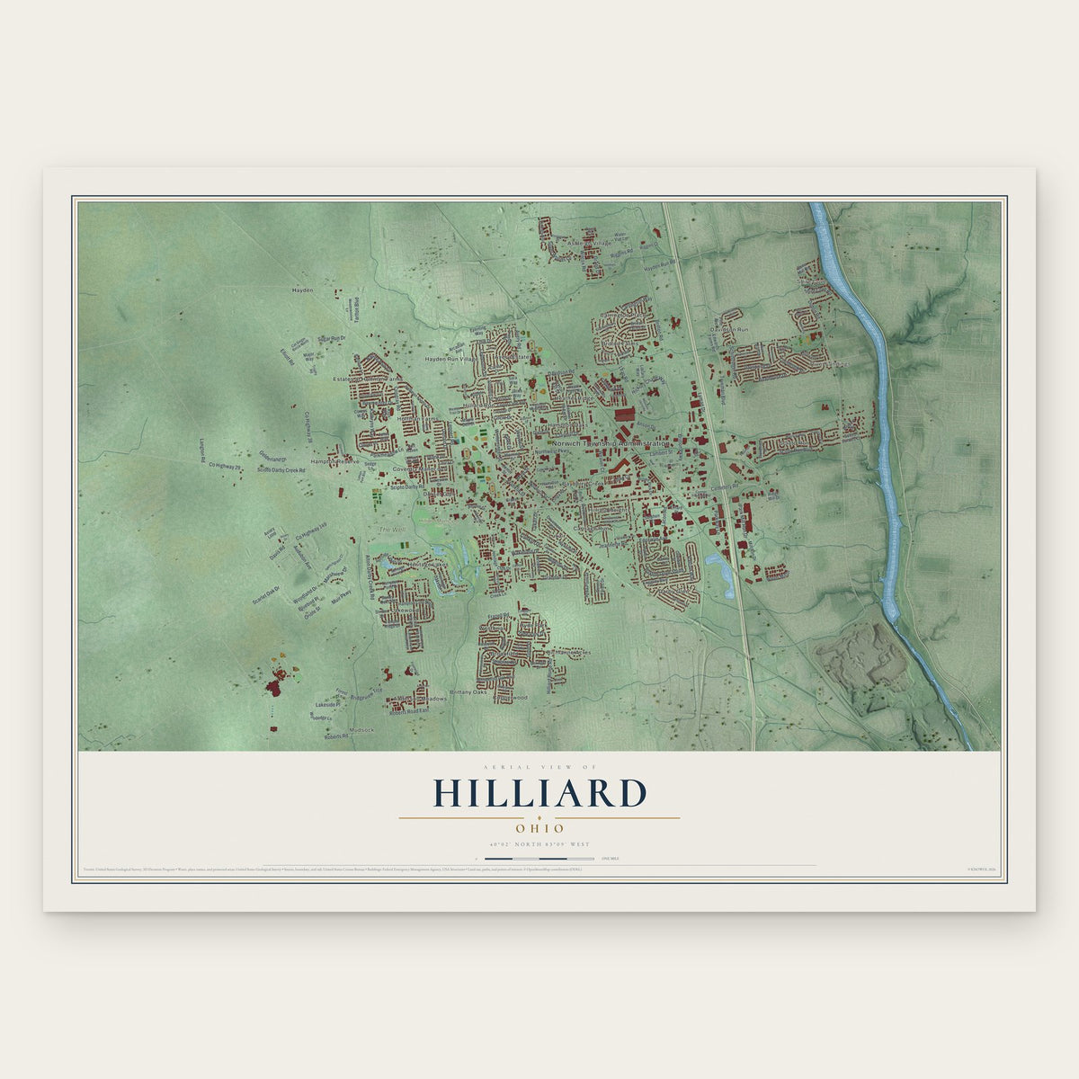
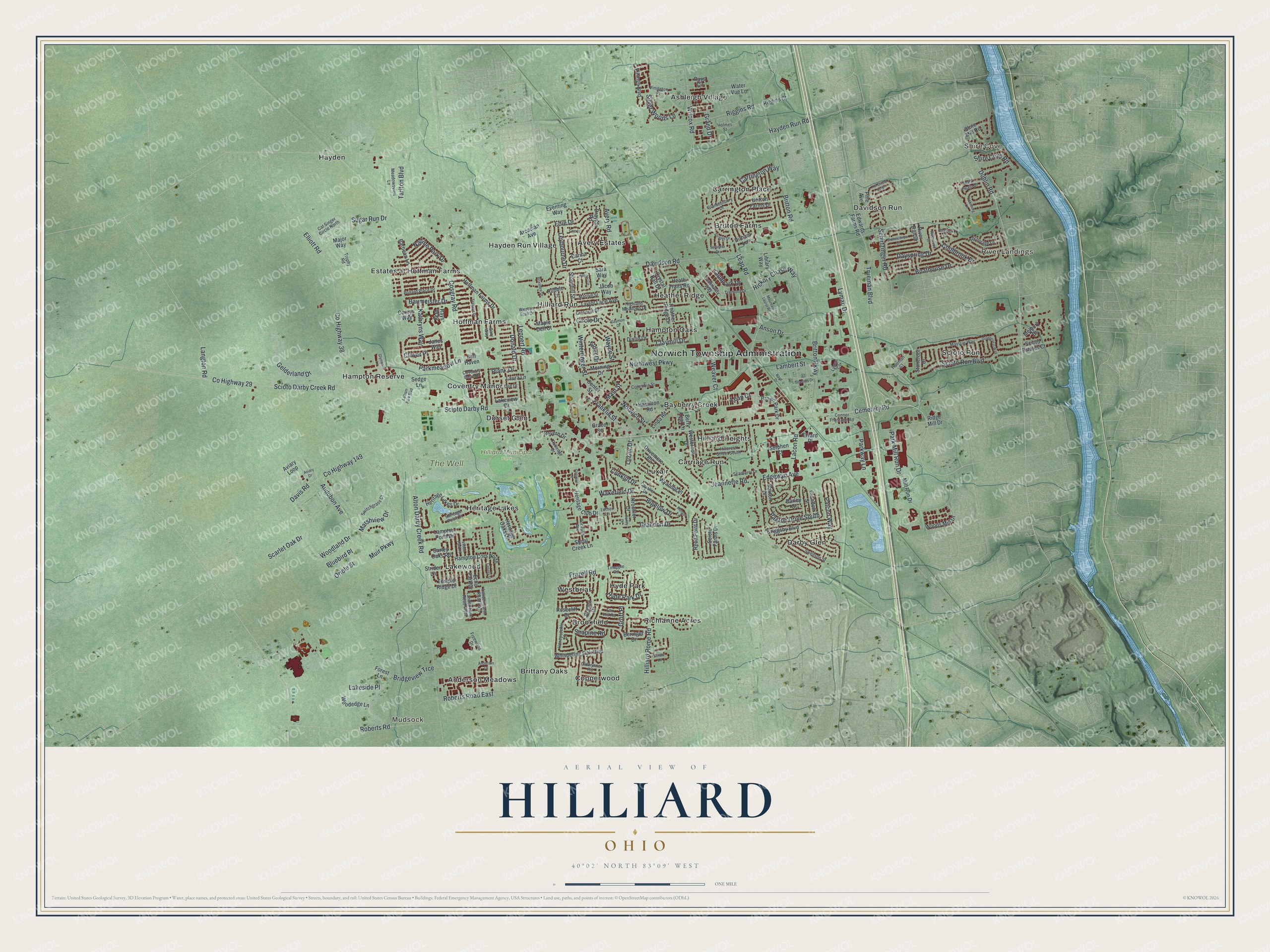
Building by building, with labeled streets and shaded relief.
12" x 18" Archival Matte Print
A Map of Home. A Work of Art.
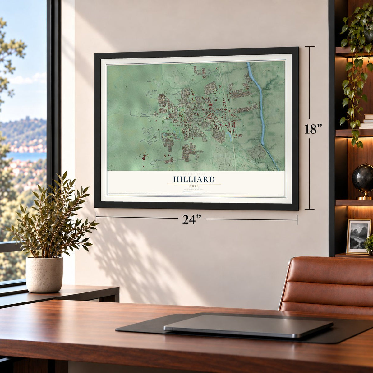
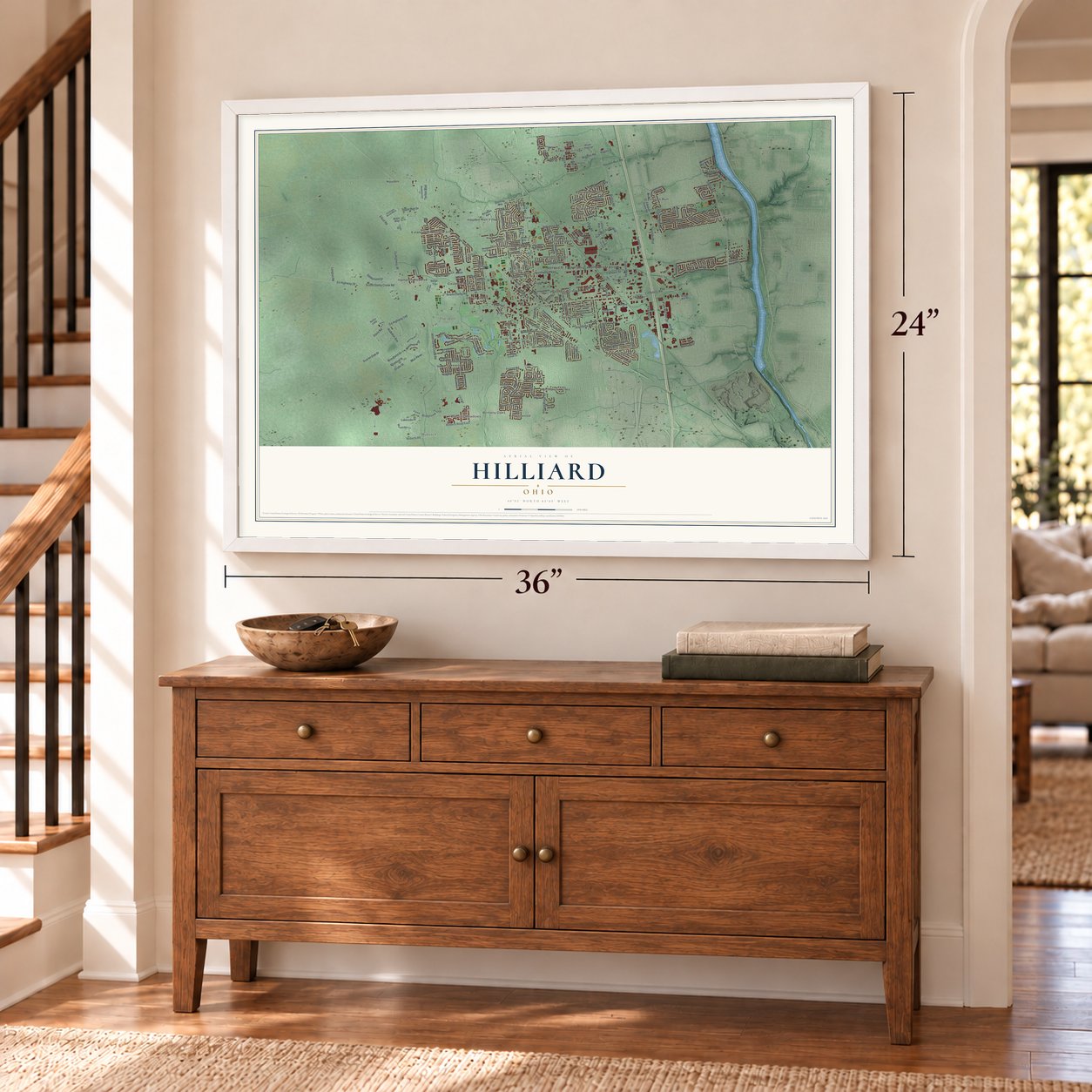
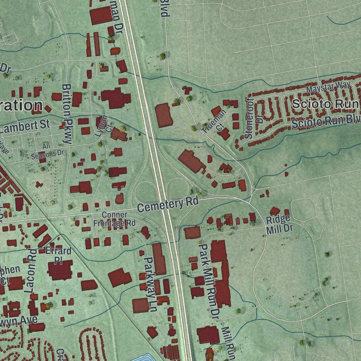
Explore Hilliard, Ohio from a whole new perspective. Created using aerial imagery and detailed geographic data, this map captures Hilliard building by building, with labeled streets, familiar landmarks, and shaded topographical relief that highlights the natural contours of the landscape.
Combining modern data with the timeless character of a vintage atlas, this map is just as interesting up close as it is beautiful on the wall. Whether you grew up in Hilliard, spent memorable years there, or call it home today, this unique map is a great way to celebrate a place that means something to you. Zoom in on the preview to look for your street, and then order a print to put your memories on the wall.
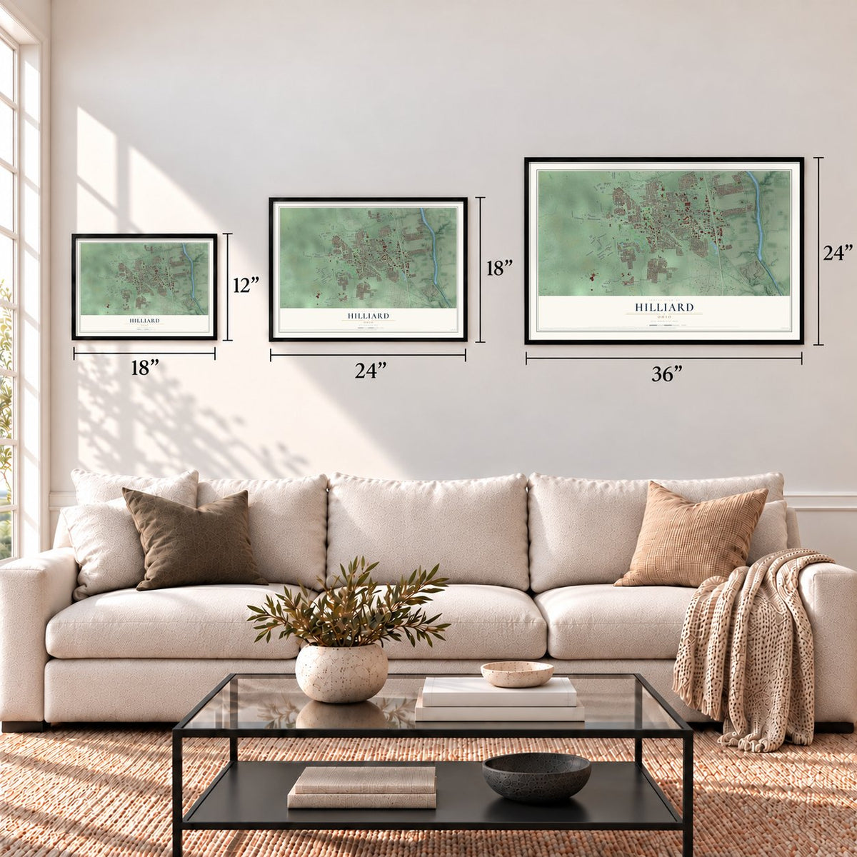
Three ways to hang it
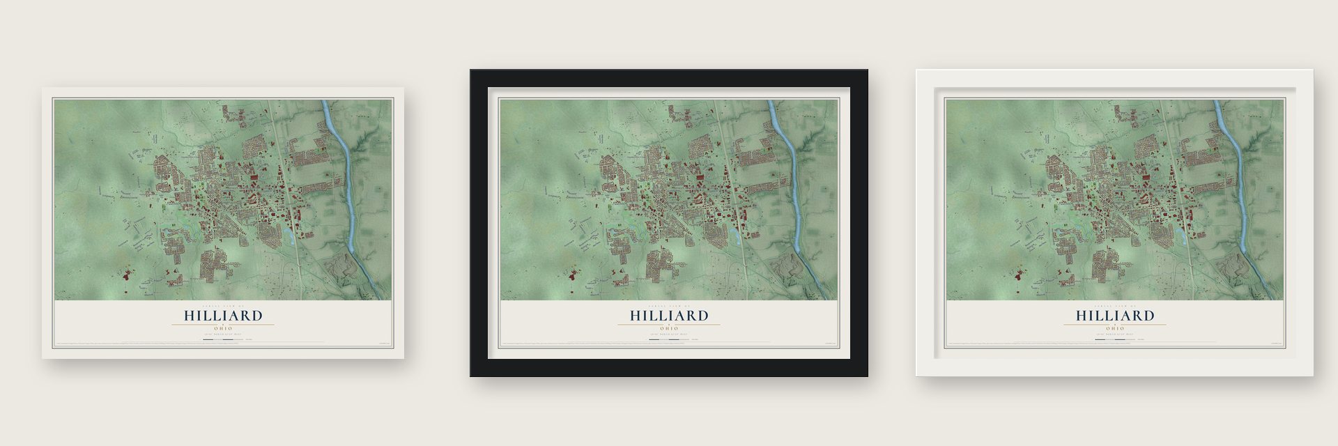
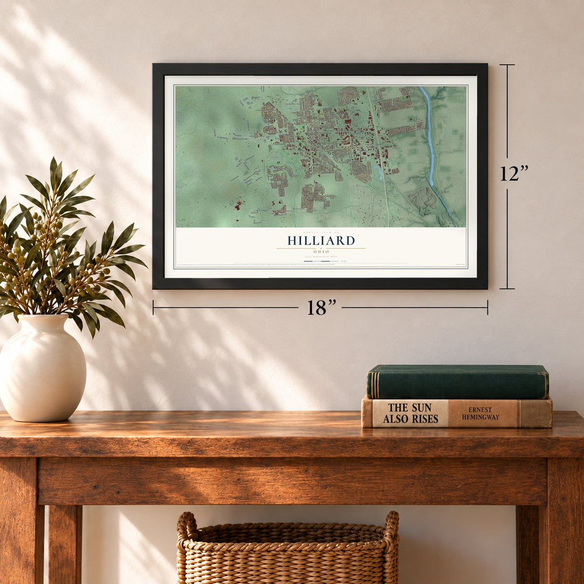
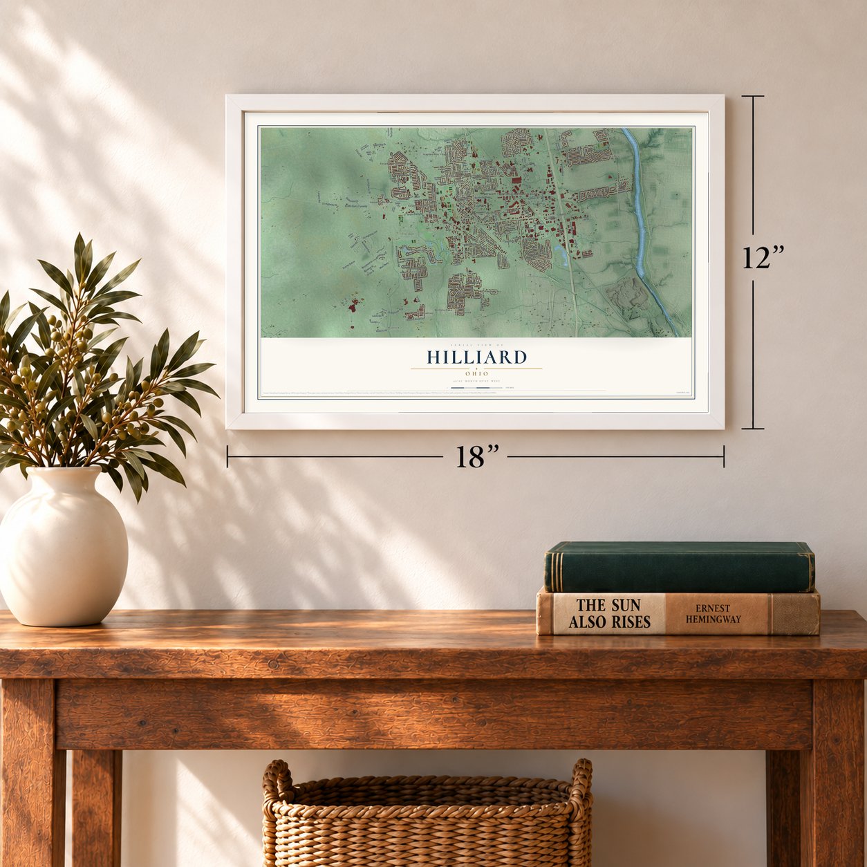
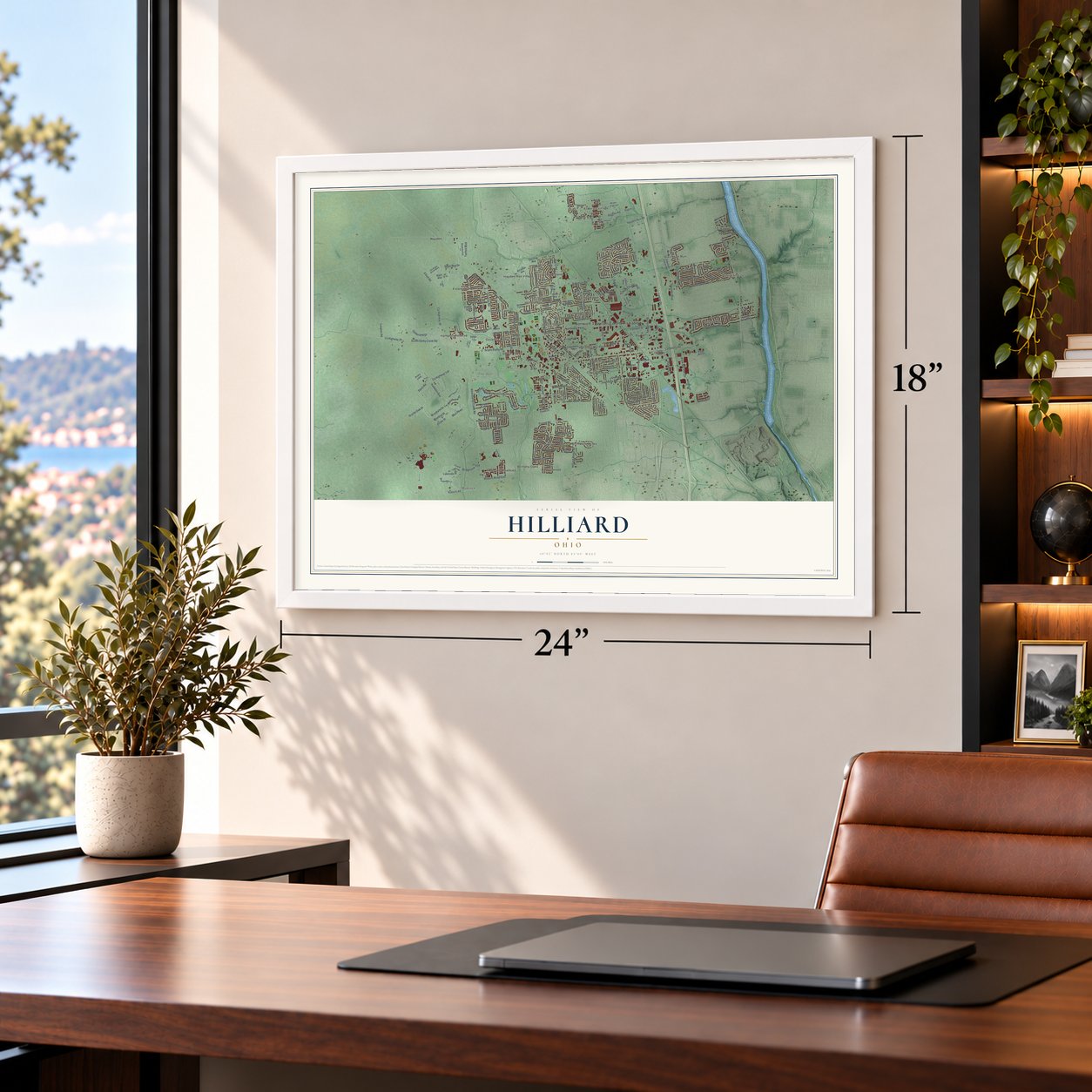
Unframed archival matte, a black wood frame or a white wood frame.
Up close
Geography Worth Displaying
This map was created using accurate cartographic data and authoritative geographic sources, including the U.S. Geological Survey and the Census Bureau. The map brings together terrain, waterways, roads, and building detail. The majority of the streets are labeled, houses are accurately depicted, and the topography is derived from government sources. Combining local data with carefully composed color and shading leads to this beautifully detailed Hilliard artwork for your wall.
Rather than simply showing street outlines, we’ve included as many of the street names as we could reasonably fit on the map while keeping their names legible. Zoom in on the high resolution preview to see exactly what’s on the map. We truly set out to create a statement piece for anyone who loves Hilliard. So whether it’s for you, or a gift for someone you love, we hope this map of Hilliard brings back fond memories.
Find your street
Names on the Hilliard map
Every name below is printed on this map. Look for your street, your school, the park where you played, or the pond down the road.
Places and landmarks36
- Norwich Township Administration
- Shire Cove
- Mudsock
- River Landings
- Hilliard Municipal Park
- The Well
- Anderson Meadows
- Ashleigh Village
- Avery Estates
- Bayberry Creek
- Brittany Oaks
- Britton Farms
Show all 36 places
- Brookfield
- Carriage Run
- Carrington Place
- Copperwood
- Coventry Manor
- Darby Glen
- Davidson Run
- Dorset Glen
- Estates at Hoffman Farms
- Hampton Oaks
- Hampton Reserve
- Hayden
- Hayden Run Village
- Heather Ridge
- Heritage Lakes
- Hilliard Heights
- Hilliard Run
- Hoffman Farms
- Hyde Park
- Lakewood
- Luxair
- Richlanne Acres
- Scioto Run
- Westbriar
Streets and roads230
- Cemetery Road
- Dublin Road
- Scioto Darby Creek Road
- Trueman Boulevard
- Hickory Chase Way
- Plank Drive
- Leap Road
- Parkmeadow Lane
- Paxton Drive South
- Claymill Drive
- Donald Drive
- Davidson Road
- Scioto Darby Road
- Alton Darby Creek Road
- Hayden Run Road
- Lyman Drive
- Britton Parkway
- Cosgray Road
- Main Street
- County Highway 38
- Elliott Road
- Avery Road
- Leppert Road
- Hilliard Rome Road
- County Highway 29
- Frazell Road
- Audubon Avenue
- Scioto Run Boulevard
- Parkway Lane
- Northwest Parkway
Show all 230 streets
- Britton Road
- Riggins Road
- Woodland Drive
- Lacon Road
- Roberts Road East
- Nadine Park Drive
- Wayne Street
- Park Mill Run Drive
- County Highway 149
- Davis Road
- Winterringer Street
- Gelderland Drive
- Roberts Road
- Norwich Street
- Weaver Court
- Carrington Way
- Anson Drive
- Grandon Drive
- Wilcox Road
- Schirtzinger Road
- Circle Drive
- Coolbrook Drive
- Franklin Street
- Hyde Park Drive
- Dayspring Drive
- Muir Parkway
- Baumeister Drive
- Bigelow Drive
- Sugar Run Drive
- Edie Drive
- Tarlton Boulevard
- Boathouse Drive
- Silver Woods Lane
- Bridgeview Trce
- Patcon Way
- Jeannette Road
- Edgewyn Avenue
- Lambert Street
- Kathryns Way
- Leybourne Drive
- Shire Cove Road
- Wakefield Drive
- Scarlet Oak Drive
- Clover Place
- Langton Road
- Conklin Drive
- Clubpark Drive
- Marshview Drive
- Leap Court
- Seapine Road
- Grand Drive
- Lakeside Place
- Luxair Drive
- Bluebird Place
- Oriole Street
- Groff Place
- Alder Drive
- Edwards Farms Road
- Lakeview Drive
- Lampton Pond Drive
- Pine Avenue
- Hoffman Farms Drive
- Heritage Lakes Drive
- Britton Farms Drive
- Bohlen Drive
- Heather Ridge Drive
- Center Street
- Wyandot Place
- Drivemere Road
- Mill Run Drive
- Heritage Club Drive
- Westbrook Drive
- Aviary Loop
- Taylor Lane Avenue
- Drayton Road
- Heath Trails Road
- Crandon Street
- Whispering Oak Boulevard
- Hampton Cors North
- Heritage Oaks Drive
- Woods Mill Drive
- Shoal Creek Lane
- Echo Park Drive
- Woodedge Lane
- Rays Way
- Vinings Boulevard
- Jacob Way
- Janes Way
- Barbeau Lane
- Hamilton Road
- Stoneroot Drive
- Reed Point Drive
- River Run Drive
- Brown Park Drive
- Linda Road
- Stonehill Street
- Arcadian Avenue
- Temple Ridge Drive
- Kriggsby Boulevard
- Laura Lane
- Rosecliff Drive
- Sedge Lane
- Scioto Estates Court
- Rays Circle
- Water Vue Lane
- Dirham Lane
- Scioto Farms Drive
- Kroehler Drive
- Eventing Way
- Crystal Ball Drive
- Strider Lane
- Major Way
- Morning Drive
- Melbury Drive
- Paxton Drive
- Revere Drive
- Sutphen Court
- Shire Mill Road
- Riggins Court
- Beringer Drive
- Library Way
- Coreys Way
- Maple Dell Court
- Barley Oaks Road
- Dixon Drive
- Rubble Lane
- Berry Leaf Lane
- Bell Haven
- Darley Court
- Grace Street
- Errard Place
- Forest Lane
- Carina Court
- Ridge Mill Drive
- Sara Way
- Landen Farm Road East
- Community Way
- Maystar Way
- Columbia Street
- Meadowsview Lane
- Honeysuckle Lane
- Switchgrass Court
- Crescent Drive
- Vinington Place
- Cavalier Drive
- Swenson Street
- Mark Twain Drive
- Anchorage Lane
- Landen Farm Road West
- Portrush Avenue
- Gary Way
- Hillcrest Street South
- Holmes Street
- Conner Frontage Road
- Cat Singer Circle North
- Marilyn Street
- Pollard Place Drive
- Scarberry Drive
- Luther Lane
- Weston Trail Drive
- Highland Meadows Drive
- Tremont Drive
- Glanstonbury Drive
- Rutledge Drive
- Trophy Road
- Heritage Point Court
- Dee Drive
- Freewood Drive
- Tinapple Road
- Fox Hill Road
- Oldwynne Road
- Oarlock Court
- Coventry Bend Drive
- Trueman Court
- Lyman Court
- All Seasons Drive
- Brixshire Drive
- Trailane Drive
- Glynwater Lane
- Anderson Drive
- Colonial Drive
- Vicksburg Lane
- Hessler Circle
- Goldenseal Way
- Kul Circle North
- Stonesthrow Lane
- Riverwood Drive
- Mengel Lane
- Kaye Drive
- Strayer Drive
- Vinton Park Place
- Sarasota Drive
- Farley Drive
- Cassey Street
- Latham Park Boulevard
- Schatz Lane
- Gaymon Drive
- Mountain Laurel Road
- Cee Court
- Aviary Drive
Names are listed as they appear on the printed map. Zoom into the product photos to find them.
About Hilliard, Ohio
Hilliard is a city of 37,114 people in Franklin County, a Columbus suburb within Norwich Township that lies between Big Darby Creek and the Scioto River. In 1852 John Reed Hilliard bought 10 acres of farmland from Hoseah High and Abraham Wendell, and the Piqua and Indiana Railroad cut straight across it. He platted a town there on September 1, 1853, and it was first called Hilliard's Station.
The station gave nearby farmers a place to ship their crops to market and to receive supplies, so the depot and Main Street remained the heart of town until the mid 20th century. A post office opened in 1854, and the word Station dropped out of the name. The village incorporated on July 13, 1869, when 280 people lived there.
- The depot from 1886Hilliard's first railroad station was built in 1886 just west of Main Street, on the tracks' northern side, and it served the town until all rail service ended in 1962. The old station was restored and now sits in Weaver Park.
- A city in 1960Three large subdivisions built in the 1950s set off rapid growth, and on December 12, 1960, the Ohio Secretary of State made Hilliard a city after it reached 5,633 people. Hookups to the Columbus sewer and water systems in the 1960s opened more land, and the I-270 outerbelt, finished in the early 1970s, brought a second boom.
- Dr. Jewett, first physicianThe History of Franklin and Pickaway Counties, published in 1880, names a Dr. Jewett as the first doctor to make his home in Hilliard. He arrived not long after the village was laid out beside the railroad.
- A World Trade Center flag poleA flag pole from the World Trade Center stands outside the fire department on Northwest Parkway. It is the only one from the towers kept outside a museum.
Keep exploring Ohio
Hilliard is one of 1,389 Ohio towns we've mapped. Every dot on the map is a print of its own.
The search covers every state, Ohio first.
Near Hilliard
Order 2 or more town maps and save 10%. Shown in the size and finish you picked above, so they hang as a set.
- Upper Arlington 12" x 18" / Archival Matte Print $39.99
- Dublin 12" x 18" / Archival Matte Print $39.99
- Lincoln Village 12" x 18" / Archival Matte Print $39.99
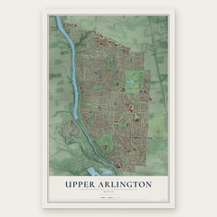

More maps nearby: Alton, Lake Darby, Marble Cliff, Valleyview and Olentangy West.
The art of mapping a place
How This Map Was Made
Real places. Remarkable detail. Discover the layers that turn geographic data into a map of home.

The view from above
Aerial imagery reveals the character of the land: woodland, open fields, and the patterns of a place.

The shape of the land
Elevation data brings hills, valleys, and subtle changes in the landscape into view.

The details of home
Roads, waterways, and building footprints come together to make the map feel unmistakably local.

Geography becomes art
Considered color, shading, and typography bring the layers together in a map made for your wall.


Process illustrated with Mendon, Massachusetts. Aerial imagery: USDA NAIP. Terrain: USGS 3D Elevation Program. Map details and finished artwork: KNOWOL.
The Details
About This Print
Choose an archival matte print, or a black or white Ayous wood frame. The archival matte print is unframed.
Select your size and finish above to see the matching product image and price.
Materials & Craftsmanship
A contemporary map with the character of a classic atlas, printed on archival matte paper. Optional frames are made from Ayous wood.
Your printed map does not include the watermark shown in the full-map preview.
Shipping & Delivery
Free shipping within the United States. Every print is made to order in the USA.
Buying a gift? Add a note in your cart and we'll include it. We never put prices in the package.
Prints ship within 2 to 3 business days. Allow 7 to 10 days total from ordering for delivery. Timing may vary during holidays or periods of high order volume.
Read our shipping policy.
Returns and damaged prints
Each print is made to order. Change-of-mind refunds are not available after production.
If your print arrives damaged, misprinted or incorrect, contact support@knowol.com within 30 days of receiving it. Include your order number, photos and a description of the issue.
Read our full refund and replacement policy. For questions about your order, email support@knowol.com.