
Search for another town

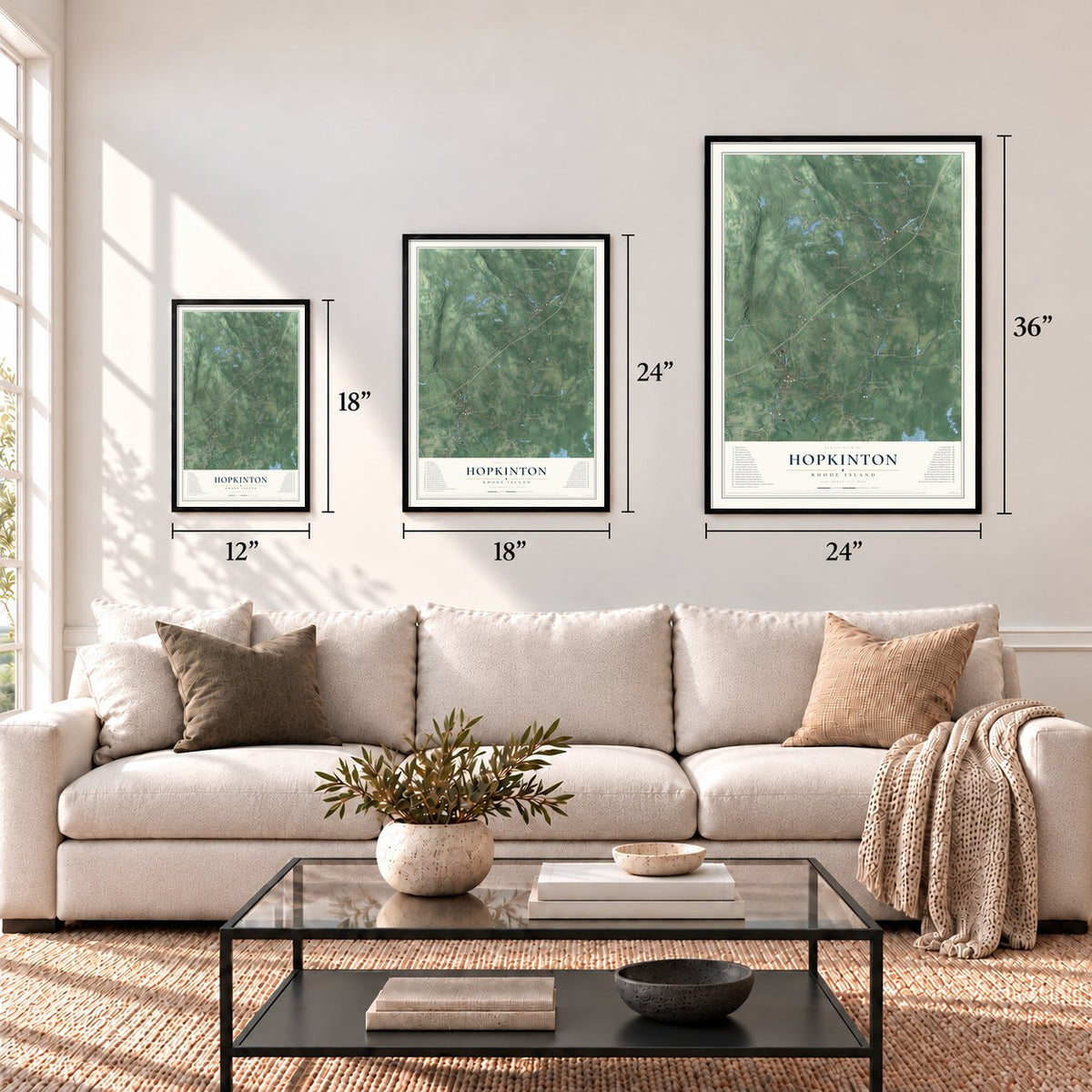
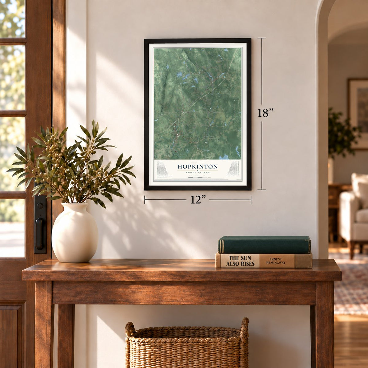
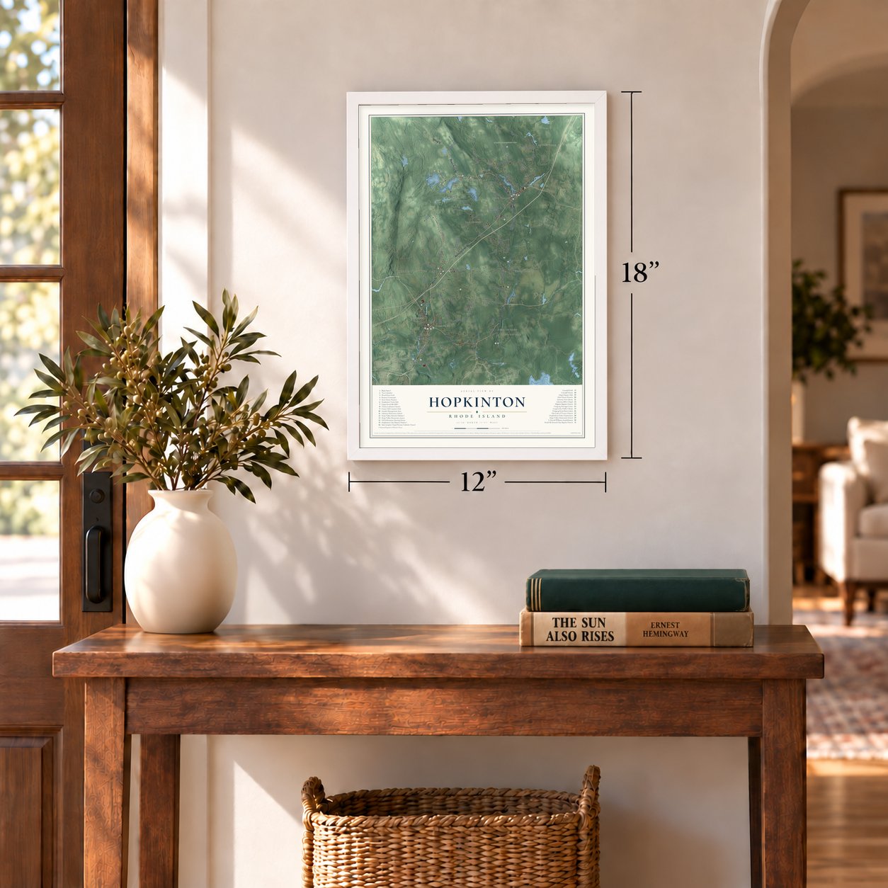
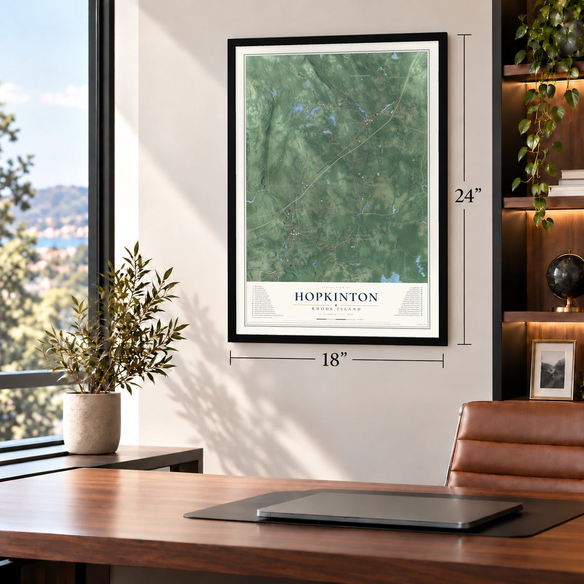
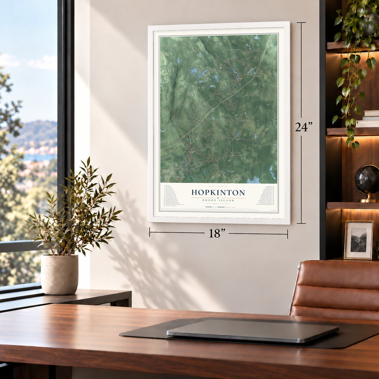

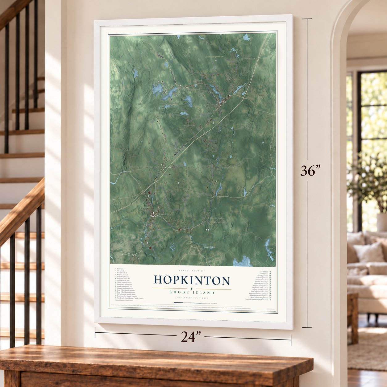

Free U.S. delivery 7 to 10 days after you order
Hopkinton, Rhode Island Map Art
Building by building, with labeled streets and shaded relief.
12" x 18" Archival Matte Print
A Map of Home. A Work of Art.
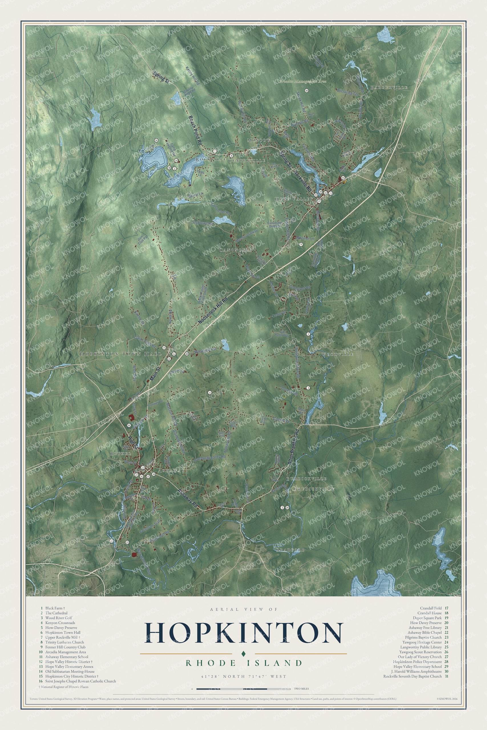
Explore Hopkinton, Rhode Island from a whole new perspective. Created using aerial imagery and detailed geographic data, this map captures Hopkinton building by building, with labeled streets, familiar landmarks, and shaded topographical relief that highlights the natural contours of the landscape.
Combining modern data with the timeless character of a vintage atlas, this map is just as interesting up close as it is beautiful on the wall. Whether you grew up in Hopkinton, spent memorable years there, or call it home today, this unique map is a great way to celebrate a place that means something to you. Zoom in on the preview to look for your street, and then order a print to put your memories on the wall.
Three ways to hang it
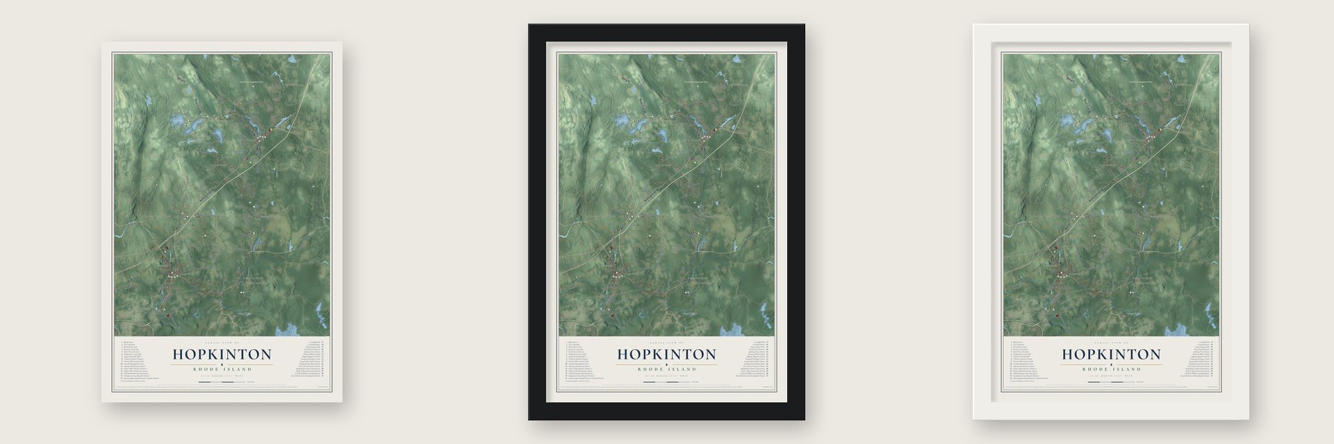
Unframed archival matte, a black wood frame or a white wood frame.
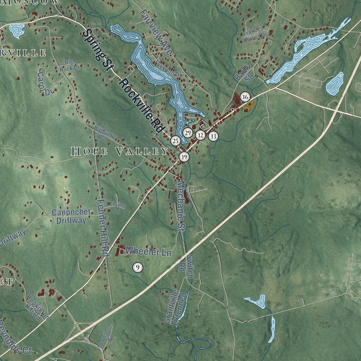
Up close
Geography Worth Displaying
This map was created using accurate cartographic data and authoritative geographic sources, including the U.S. Geological Survey (USGS) and FEMA. The map brings together terrain, waterways, roads, and building detail. The majority of the streets are labeled, houses are accurately depicted, and the topography is derived from government sources. Combining local data with carefully composed color and shading leads to this beautifully detailed Hopkinton artwork for your wall.
Rather than simply showing street outlines, we’ve included as many of the street names as we could reasonably fit on the map while keeping their names legible. Zoom in on the high resolution preview to see exactly what’s on the map. We truly set out to create a statement piece for anyone who loves Hopkinton. So whether it’s for you, or a gift for someone you love, we hope this map of Hopkinton brings back fond memories.
Explore the full map of Hopkinton, Rhode Island and read about the local places it shows.

Find your street
Names on the Hopkinton map
Every name below is printed on this map. Look for your street, your school, the park where you played, or the pond down the road.
Places and landmarks14
- Hopkinton Town Hall
- Barberville
- Arcadia Management Area
- Bradford
- Canonchet
- Hope Valley
- Bethel
- Woodville
- Brudickville
- Rockville
- Moscow
- Ashaway
Show all 14 places
- Centerville
- Burdickville
Streets and roads101
- Main Street
- Alton Bradford Road
- Spring Street
- Nooseneck Hill Road
- Rockville Road
- Beach Pond Road
- Ashaway Road
- High Street
- Clarks Falls Road
- Laurel Street
- Woodville Alton Road
- Palmer Circle
- Mechanic Street
- Bitgood Road
- Maxson Hill Road
- North Road
- Tomaquag Road
- Skunk Hill Road
- Woodville Road
- Collins Road
- Fenner Hill Road
- Canonchet Road
- Chase Hill Road
- Dye Hill Road
- Woody Hill Road
- Diamond Hill Road
- Kenny Hill Road
- Arcadia Road
- Fairview Avenue
- Kuehn Road
Show all 101 streets
- Stubtown Road
- Panciera Lane
- Oak Street
- Tomaquag Valley Road
- Wich Way
- Jacobson Trail
- Narragansett Way
- Blitzkrieg Terrace
- Dormar Road
- Wheeler Lane
- Karen Drive
- Old Depot Road
- River Road
- Reynolds Court
- Gray Lane
- Cedar Drive
- Kenyon Lane
- Berrie Lane
- West Street
- Camp Yawgoog Road
- Switch Road
- Keith Drive
- Blitzkrieg Trail
- Lawton Foster Road South
- Cedarwood Lane
- Old Hopkinton Cemetery Road
- Carol Drive
- Canonchet Driftway
- Wellstown Road
- Bank Street
- Marshal Driftway
- Burdickville Road
- Grassy Pond Road
- Frontier Road
- Grantville Extended
- Friel Farm Way
- Sawmill Road
- Yeles Lane
- Gun Club Pa
- Esta's Way
- Brook Drive
- Malo Drive
- Juniper Drive
- Maxson Street
- Vuono Place
- Paige Place
- Elm Street
- Hopkinton Hill Road
- Lisa Lane
- Hopkins Hollow
- South Drive
- Deer Trail
- James Road
- Grills Lane
- Pine Drive
- Teft Court
- New London Turnpike
- Highview Avenue
- Thurston Drive
- Beech Hill Road
- Anthony Road
- Cemetery Lane
- Edgewood Avenue
- Ryan Circle
- Townsend Road
- Frances Barber Drive
- Lynch Lane
- Elaine Drive
- Cedar Knoll Drive
- Big Rock Drive
- Quiet Oak Drive
Names are listed as they appear on the printed map. Zoom into the product photos to find them.
About Hopkinton, Rhode Island
Hopkinton is a town of 8,398 people in Washington County, at the Connecticut line, where the Pawcatuck and Ashaway rivers run. It was carved out of Westerly and incorporated in 1757, and it took its name from Stephen Hopkins, the colony's governor that year, who went on to sign the Declaration of Independence. Nearly every village in town grew up beside a mill on a river, and some, like Moscow, Centerville and Wood River Iron Works, were named for the mill at their center.
Hope Valley, now the largest village and the town's business center, began when Hezekiah Carpenter came in 1770 and put a dam across the Wood River to power small water mills. People knew the place as Carpenter's Mills. In 1824 Gardner Nichols and Russell Thayer took over the mills to card wool and finish cloth. In 2008 a town historian explained to the Providence Journal that Nichols gave the village its new name, Hope Valley, since every one of his hopes rested there.
- Prudence Crandall, born 1803Prudence Crandall came into the world in 1803 in what is now Hope Valley, and a granite marker there honors her. She later ran a school in Canterbury, Connecticut, and in 1832 she let Sarah Harris, a young African American woman, enroll. White families withdrew their daughters, so Crandall began training African American girls as teachers. Arrest, repeated trials and violence finally forced the school to close. Connecticut named her its State Heroine in 1995.
- The stone mill at RockvilleIn 1844-45 the Rockville Manufacturing Company built a three-and-a-half-story stone mill on Canonchet Road beside Wincheck Pond and its raceway, adding a second building in the 1860s. For much of the 19th century the company was Rockville's chief employer and landowner, and textile firms ran the mill until 1953. The Boy Scouts, who prized its water rights for their camp, then owned it briefly. The Upper Rockville Mill is on the National Register.
- A Scout camp since 1916The Yawgoog Scout Reservation opened in Rockville in 1916 and now covers about 1,800 acres. It ranks fifth among the nation's oldest Boy Scout camps.
- A stagecoach crossroadsHopkinton City, where Route 3 meets several old roads, was once a busy stopping place for stagecoaches, and the town hall stands there. The Greek Revival First Baptist Church went up in 1836. When Interstate 95 was built close by in the 20th century, the new highway drew the traffic away and left the village quiet.
- Ashaway, the land betweenAshaway takes its name from its river. The Niantic and Mohegan knew that river as the Ashawague or Ashawaug, a name meaning "land in the middle" or "land between." A map of Rhode Island printed in Philadelphia in 1832 still labeled it the Ashawague River.
Keep exploring Rhode Island
Hopkinton is one of 86 Rhode Island towns we've mapped. Every dot on the map is a print of its own.
The search covers every state, Rhode Island first.
Near Hopkinton
Order 2 or more town maps and save 10%. Shown in the size and finish you picked above, so they hang as a set.
- Hope Valley 12" x 18" / Archival Matte Print $39.99
- Ashaway 12" x 18" / Archival Matte Print $39.99
- Wyoming 12" x 18" / Archival Matte Print $39.99

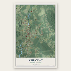
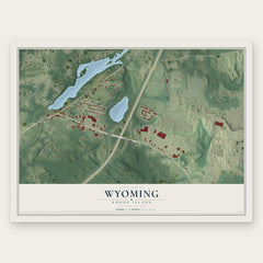
More maps nearby: Richmond, Carolina, Bradford, Charlestown and West Kingston.
The art of mapping a place
How This Map Was Made
Real places. Remarkable detail. Discover the layers that turn geographic data into a map of home.

The view from above
Aerial imagery reveals the character of the land: woodland, open fields, and the patterns of a place.

The shape of the land
Elevation data brings hills, valleys, and subtle changes in the landscape into view.

The details of home
Roads, waterways, and building footprints come together to make the map feel unmistakably local.

Geography becomes art
Considered color, shading, and typography bring the layers together in a map made for your wall.


Process illustrated with Mendon, Massachusetts. Aerial imagery: USDA NAIP. Terrain: USGS 3D Elevation Program. Map details and finished artwork: KNOWOL.
The Details
About This Print
Choose an archival matte print, or a black or white Ayous wood frame. The archival matte print is unframed.
Select your size and finish above to see the matching product image and price.
Materials & Craftsmanship
A contemporary map with the character of a classic atlas, printed on archival matte paper. Optional frames are made from Ayous wood.
Your printed map does not include the watermark shown in the full-map preview.
Shipping & Delivery
Free shipping within the United States. Every print is made to order in the USA.
Buying a gift? Add a note in your cart and we'll include it. We never put prices in the package.
Prints ship within 2 to 3 business days. Allow 7 to 10 days total from ordering for delivery. Timing may vary during holidays or periods of high order volume.
Read our shipping policy.
Returns and damaged prints
Each print is made to order. Change-of-mind refunds are not available after production.
If your print arrives damaged, misprinted or incorrect, contact support@knowol.com within 30 days of receiving it. Include your order number, photos and a description of the issue.
Read our full refund and replacement policy. For questions about your order, email support@knowol.com.