
Search for another town
Free U.S. delivery 7 to 10 days after you order
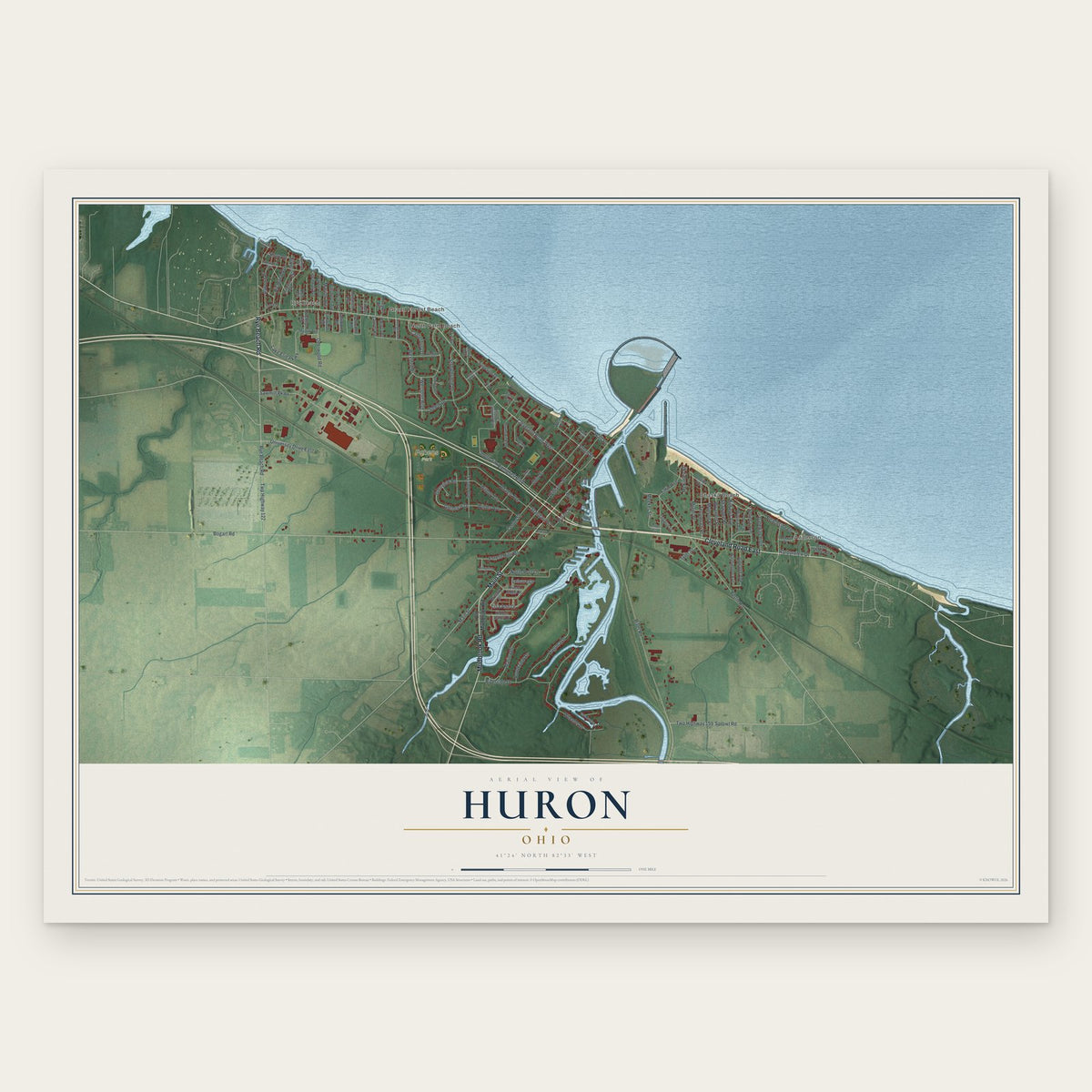
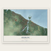
Huron, Ohio Map Art
Building by building, with labeled streets and shaded relief.
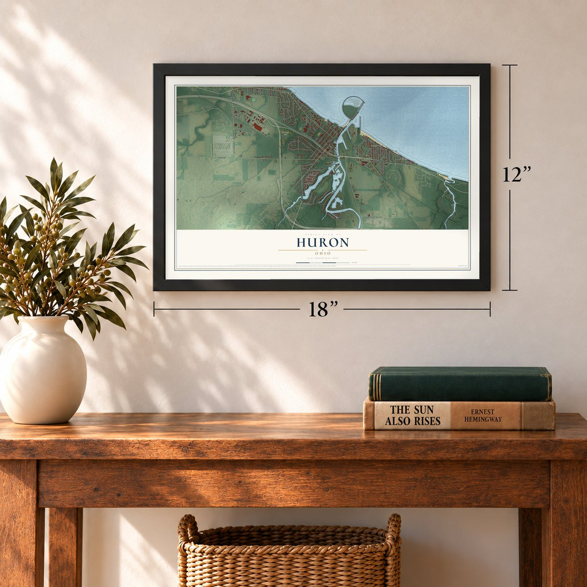
12" x 18" Archival Matte Print
A Map of Home. A Work of Art.
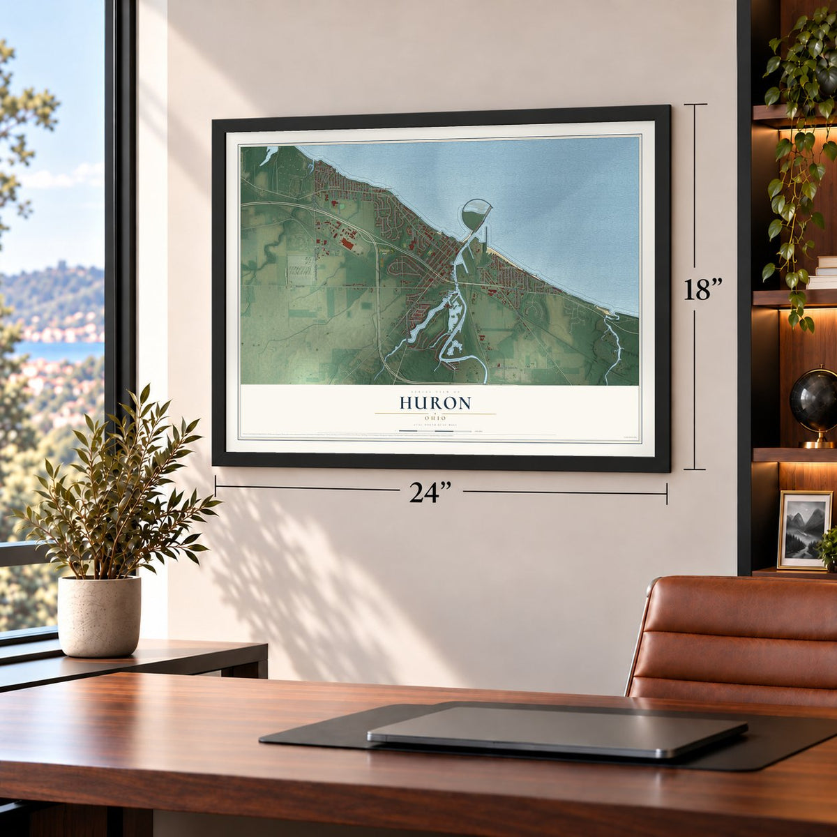
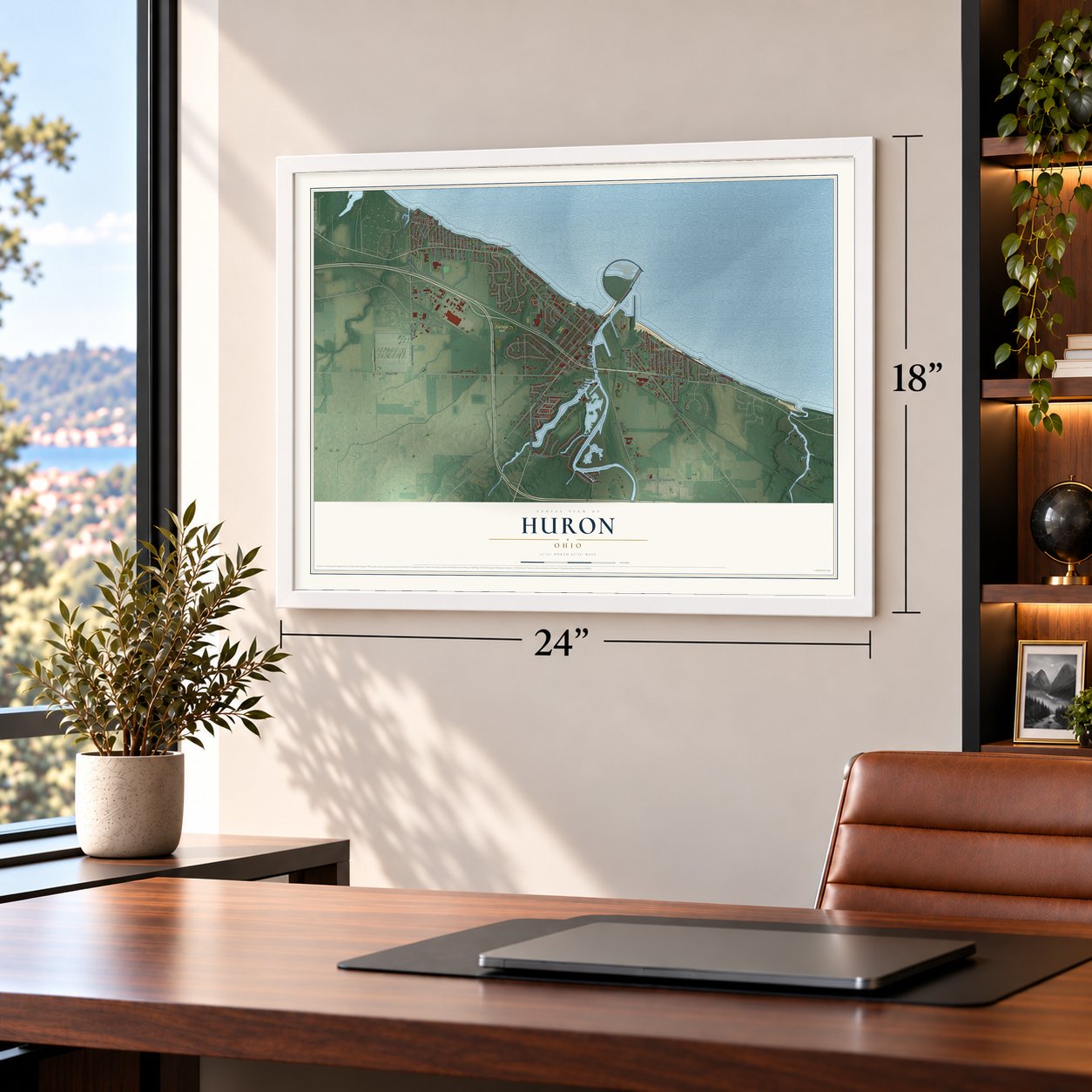
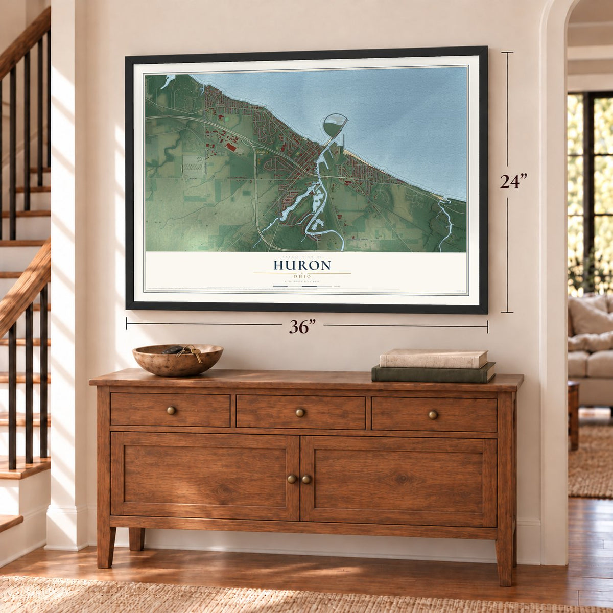
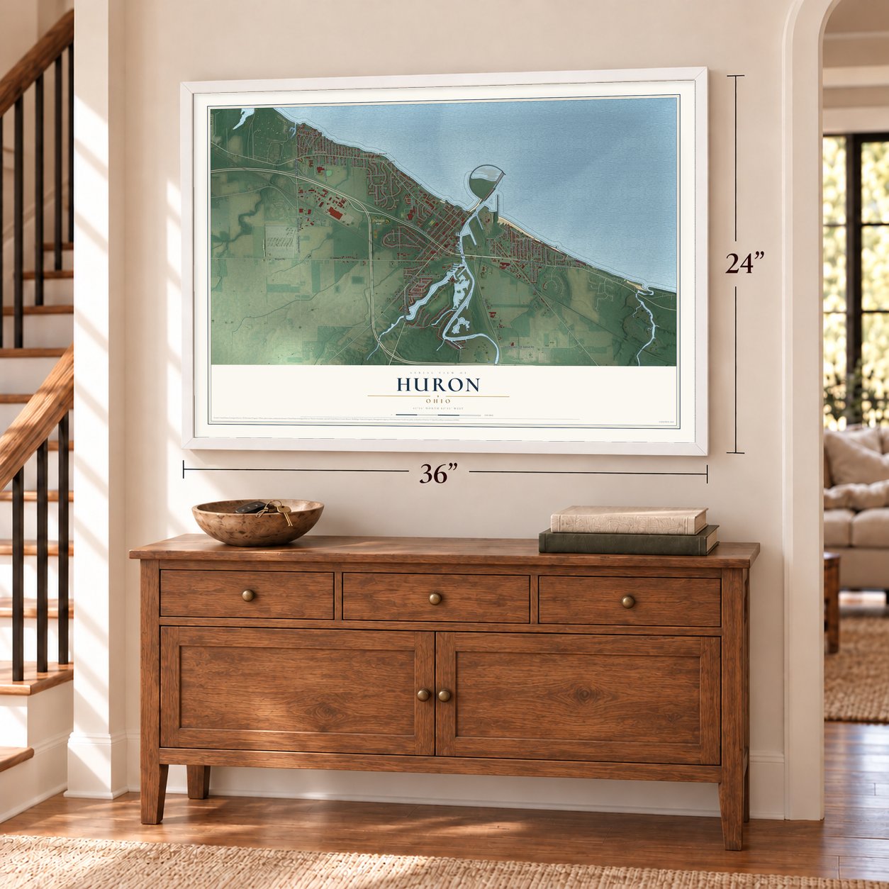
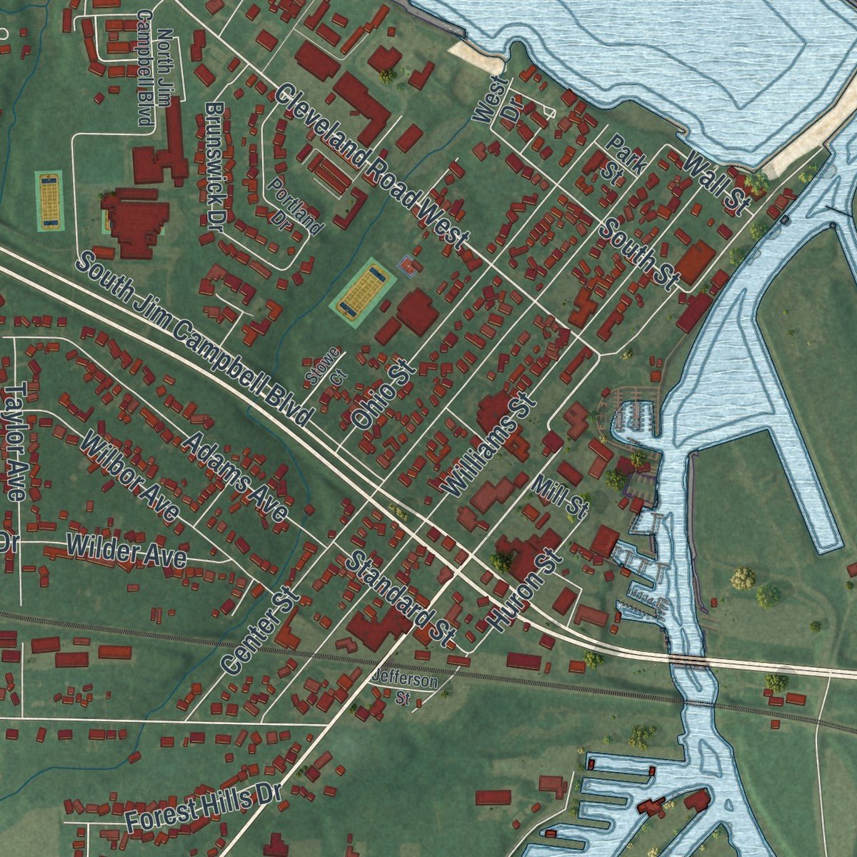
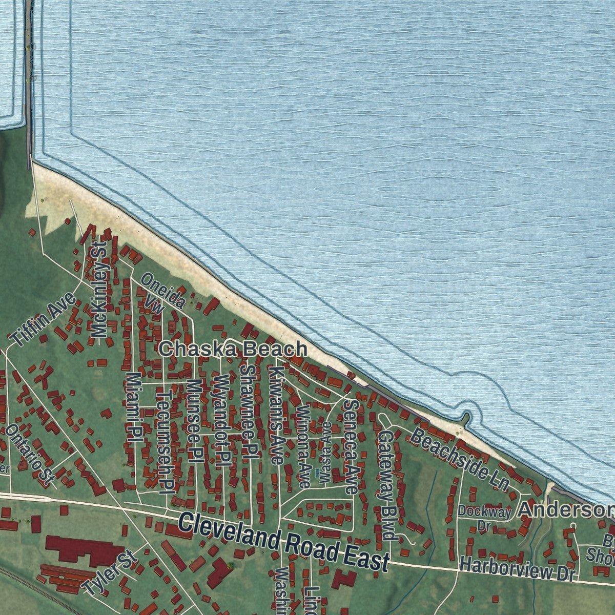
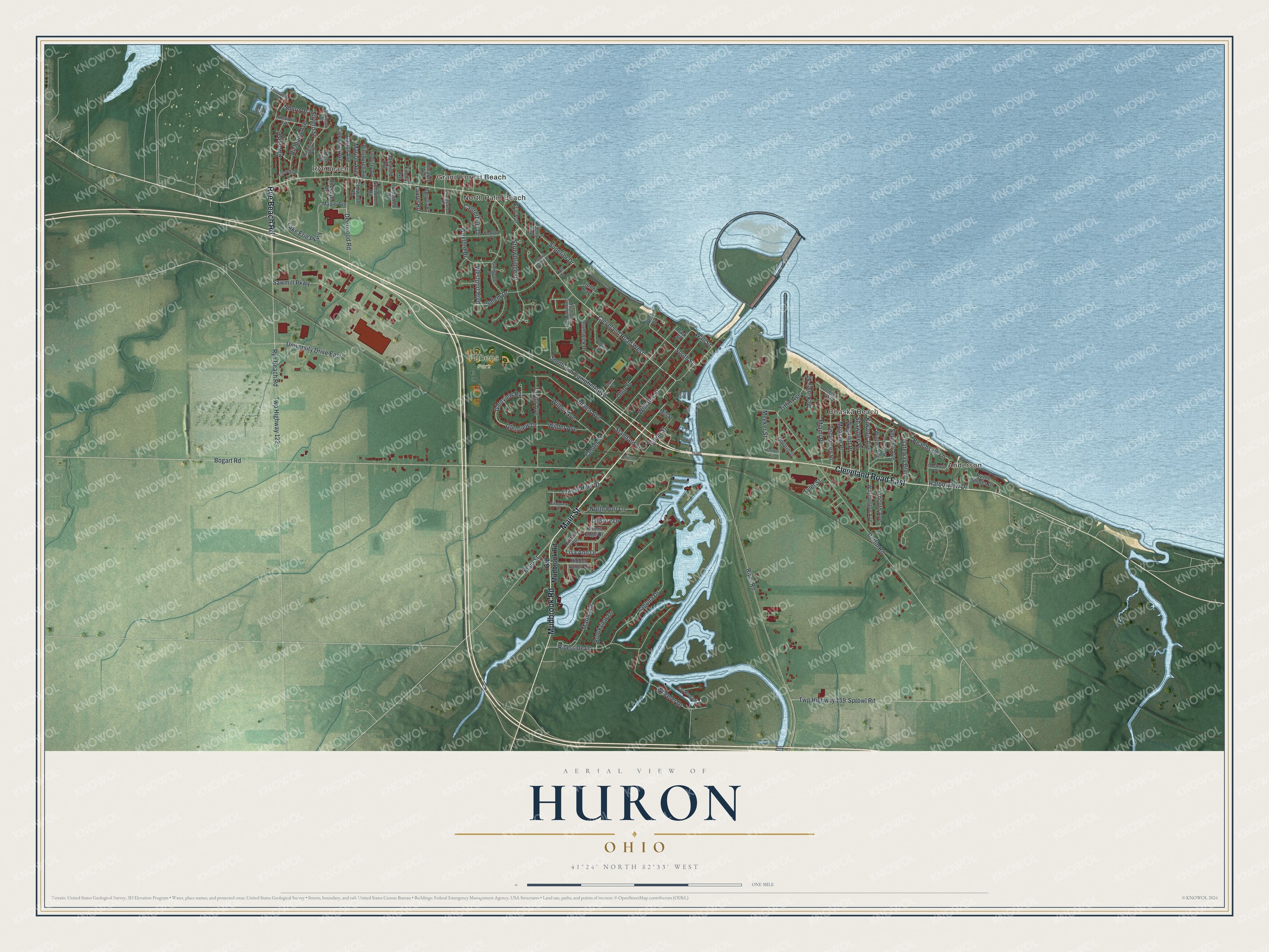
Explore Huron, Ohio from a whole new perspective. Created using aerial imagery and detailed geographic data, this map captures Huron building by building, with labeled streets, familiar landmarks, and shaded topographical relief that highlights the natural contours of the landscape.
Combining modern data with the timeless character of a vintage atlas, this map is just as interesting up close as it is beautiful on the wall. Whether you grew up in Huron, spent memorable years there, or call it home today, this unique map is a great way to celebrate a place that means something to you. Zoom in on the preview to look for your street, and then order a print to put your memories on the wall.
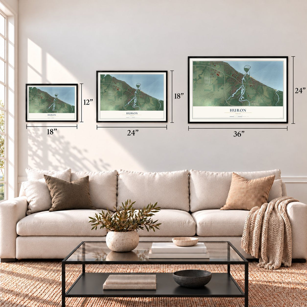
Three ways to hang it
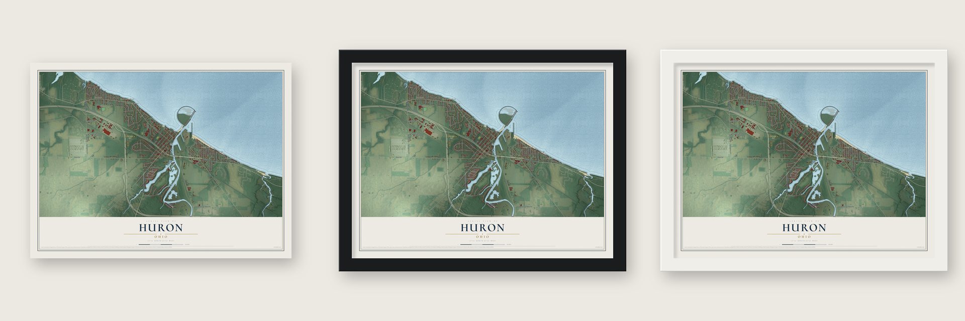
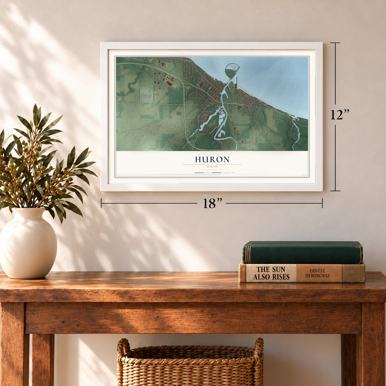
Unframed archival matte, a black wood frame or a white wood frame.
Up close
Geography Worth Displaying
This map was created using accurate cartographic data and authoritative geographic sources, including the U.S. Geological Survey and the Census Bureau. The map brings together terrain, waterways, roads, and building detail. The majority of the streets are labeled, houses are accurately depicted, and the topography is derived from government sources. Combining local data with carefully composed color and shading leads to this beautifully detailed Huron artwork for your wall.
Rather than simply showing street outlines, we’ve included as many of the street names as we could reasonably fit on the map while keeping their names legible. Zoom in on the high resolution preview to see exactly what’s on the map. We truly set out to create a statement piece for anyone who loves Huron. So whether it’s for you, or a gift for someone you love, we hope this map of Huron brings back fond memories.
Find your street
Names on the Huron map
Every name below is printed on this map. Look for your street, your school, the park where you played, or the pond down the road.
Places and landmarks6
- Anderson
- Chaska Beach
- Rye beach
- Grand Forest Beach
- North Palm Beach
- Fabens Park
Streets and roads114
- Rye Beach Road
- Main Street
- Cleveland Road East
- Mudbrook Road
- Cleveland Road West
- Shawnee Place
- South Street
- Wall Street
- Sprowl Road
- Twp Highway 159
- Glenview Drive
- Glenview Road
- Bogart Road
- River Road
- Berlin Road
- Twp Highway 122
- Center Street
- Williams Street
- Wexford Drive
- Riverside Drive
- Sawmill Parkway
- Marina Drive
- Laguna Drive
- Strowbridge Drive
- Salem Drive
- Ohio Street
- Wheeler Drive
- Lake Erie Parkway
- Wilbor Avenue
- South Jim Campbell Boulevard
Show all 114 streets
- Adams Avenue
- Tiffin Avenue
- Westport Boulevard
- Taylor Avenue
- Deerwood Road
- Atwood Place
- Miami Place
- Tecumseh Place
- Silvern Street
- University Drive East
- Munsee Place
- Seneca Avenue
- Kiwanis Avenue
- Huron Street
- Richland Avenue
- Gateway Boulevard
- North Port Lane
- Canterbury Drive
- Meeker Street
- Wyandot Place
- Forest Hills Drive
- Wilder Avenue
- Beachside Lane
- Lincoln Avenue
- Superior Drive
- Standard Street
- Lisa Ann Drive
- Brookview Drive
- Harborview Drive
- Marion Avenue
- McKinley Street
- Leisure Drive
- Tyler Street
- Shore Drive
- Laurel Road
- Old Mudbrook Road
- Oneida Vw
- Maple Avenue
- Gumwood Road
- Brunswick Drive
- Washington Avenue
- Cincinnati Avenue
- Dayton Avenue
- Hidden Valley Drive
- By the Shores Drive
- Rivers Edge Drive
- Turtle Bay
- Pittsburgh Avenue
- Winona Avenue
- Mansfield Avenue
- Elmwood Road
- Rose Avenue
- Ontario Street
- Buckeye Road
- Brittany Drive
- Ironwood Road
- Findlay Avenue
- Bucyrus Avenue
- Perry Avenue
- Erie Avenue
- Mill Street
- Park Street
- West Drive
- Orangewood Road
- North Jim Campbell Boulevard
- Gloucester Drive
- Lakewood Avenue
- Portland Drive
- Michigan Avenue
- Wickford Place
- Cuyahoga Drive
- Wasta Avenue
- Dockway Drive
- Sandusky Avenue
- Magnolia Road
- Linden Drive
- Torquatus Road
- First Street
- Swanson Street
- Huronia Beach Drive
- Valleyview Drive
- Stowe Court
- Jefferson Street
- Temper Avenue
Names are listed as they appear on the printed map. Zoom into the product photos to find them.
About Huron, Ohio
Huron is a city of 6,922 people in Erie County, where the Huron River empties into Lake Erie. The township sat at the center of the Firelands, a part of Connecticut's Western Reserve. Around 1805 John Baptiste Flammand, a trapper, trader and interpreter born in Quebec, opened a trading post about two miles up the river's east bank. He is counted as the first permanent settler, though French traders such as Gabriel Hunot had come through in the 1780s.
Huron Township was organized in 1809. Between 1821 and 1824 surveyors laid out a village plat, and port facilities were built at the river's mouth. By the 1830s the village had grown into a major shipbuilding center, with yards along the west bank of the river and more upstream at Fries Landing.
- The Golden Age, 1886The Great Western, launched at Huron in 1838, was the first ship on the lakes with cabins built above its deck. In 1886 the yards turned out the Golden Age, which at 286 feet was the largest vessel on the Great Lakes at that time. Shipbuilding died away late in that century, and a state historical marker at 417 Main Street now tells the story.
- Iron ore on the east bankThe Wheeling and Lake Erie Railroad began building up Huron's port on the east side of the river in 1880, and its docks took in their first load of iron ore on May 21, 1884. For years lake freighters unloaded iron ore and limestone there, until the port closed.
- Four fish companiesAfter the shipyards faded, commercial fishing kept the waterfront busy for more than 50 years, with the Huron, Kishman, Scott and Zimmerman fish companies working the lake. By 1950 polluted water had ruined that trade. Strong environmental controls have since cleaned up Lake Erie, and sport fishing has grown popular in its place.
- The Boat Basin, 1967Once improved U.S. Route 6 and Ohio Route 2 carried traffic around downtown, its businesses declined. In 1967 the city started a disputed urban renewal program with federal and state money, buying and tearing down 38 commercial buildings and homes, some through eminent domain. In their place it built a city marina, the Huron Boat Basin, which became a favorite park, though the new downtown grew more slowly than planned.
- Summer theater since 1949The Huron Playhouse has staged summer shows in town since 1949. It began as part of Bowling Green State University's theater department and later became an independent nonprofit.
Keep exploring Ohio
Huron is one of 1,389 Ohio towns we've mapped. Every dot on the map is a print of its own.
The search covers every state, Ohio first.
Near Huron
Order 2 or more town maps and save 10%. Shown in the size and finish you picked above, so they hang as a set.
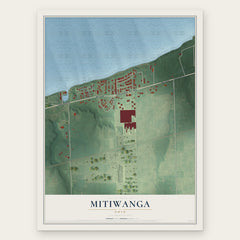
- Mitiwanga 12" x 18" / Archival Matte Print $39.99
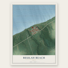
- Beulah Beach 12" x 18" / Archival Matte Print $39.99
- Berlin Heights 12" x 18" / Archival Matte Print $39.99

More maps nearby: Milan, Sandusky, Bloomingville, Collins and Norwalk.
The art of mapping a place
How This Map Was Made
Real places. Remarkable detail. Discover the layers that turn geographic data into a map of home.

The view from above
Aerial imagery reveals the character of the land: woodland, open fields, and the patterns of a place.

The shape of the land
Elevation data brings hills, valleys, and subtle changes in the landscape into view.

The details of home
Roads, waterways, and building footprints come together to make the map feel unmistakably local.

Geography becomes art
Considered color, shading, and typography bring the layers together in a map made for your wall.


Process illustrated with Mendon, Massachusetts. Aerial imagery: USDA NAIP. Terrain: USGS 3D Elevation Program. Map details and finished artwork: KNOWOL.
The Details
About This Print
Choose an archival matte print, or a black or white Ayous wood frame. The archival matte print is unframed.
Select your size and finish above to see the matching product image and price.
Materials & Craftsmanship
A contemporary map with the character of a classic atlas, printed on archival matte paper. Optional frames are made from Ayous wood.
Your printed map does not include the watermark shown in the full-map preview.
Shipping & Delivery
Free shipping within the United States. Every print is made to order in the USA.
Buying a gift? Add a note in your cart and we'll include it. We never put prices in the package.
Prints ship within 2 to 3 business days. Allow 7 to 10 days total from ordering for delivery. Timing may vary during holidays or periods of high order volume.
Read our shipping policy.
Returns and damaged prints
Each print is made to order. Change-of-mind refunds are not available after production.
If your print arrives damaged, misprinted or incorrect, contact support@knowol.com within 30 days of receiving it. Include your order number, photos and a description of the issue.
Read our full refund and replacement policy. For questions about your order, email support@knowol.com.