
Search for another town
Free U.S. delivery 7 to 10 days after you order
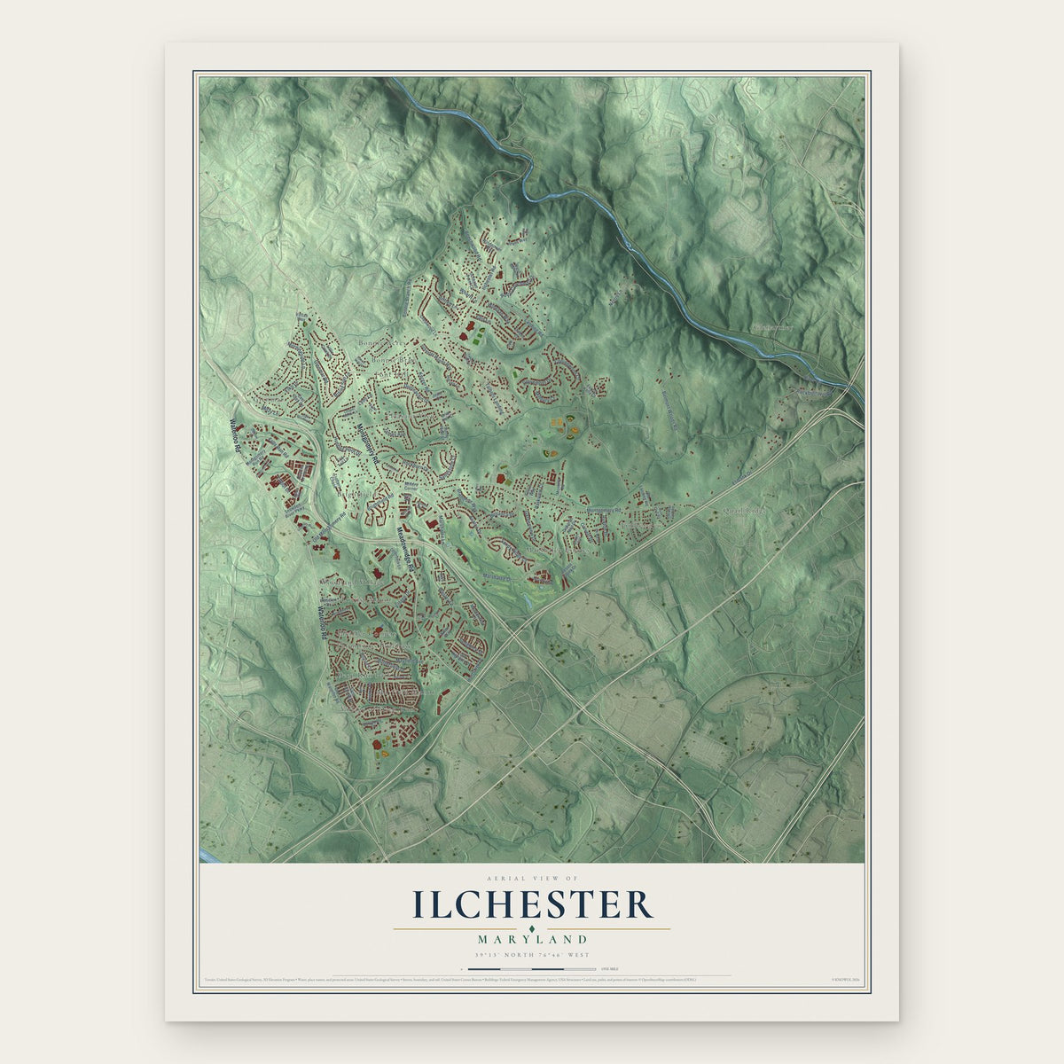
Ilchester, Maryland Map Art
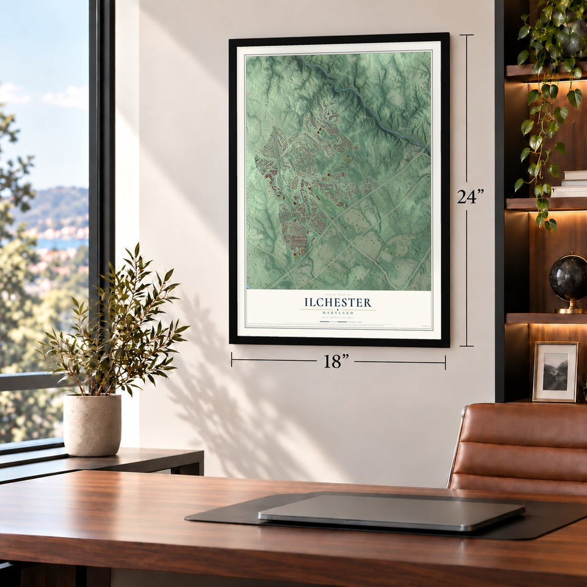
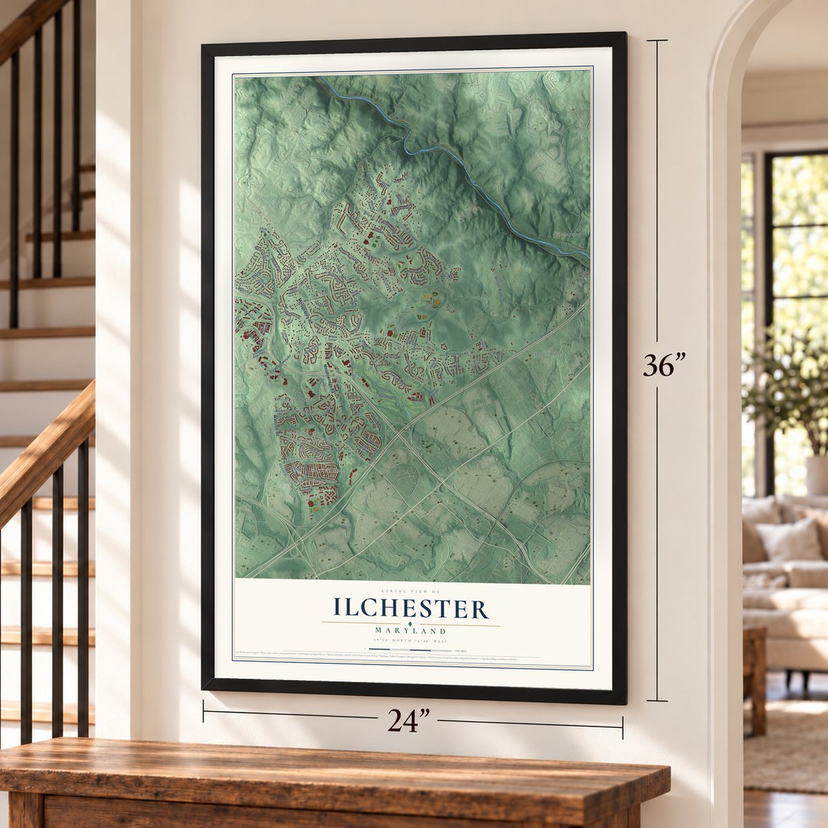
Building by building, with labeled streets and shaded relief.
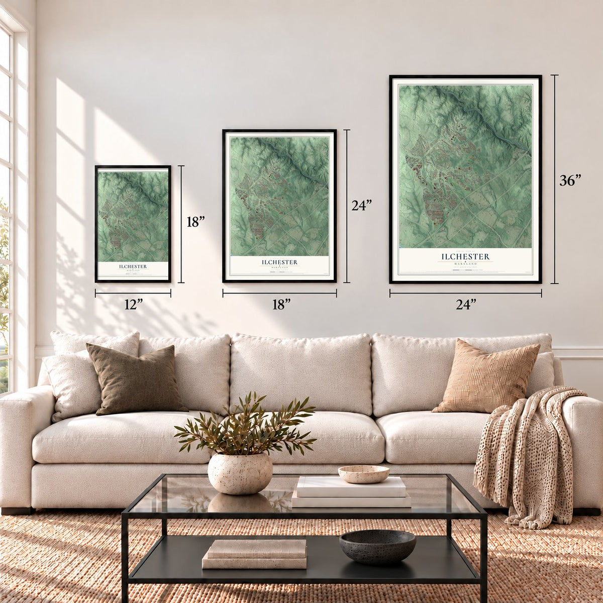
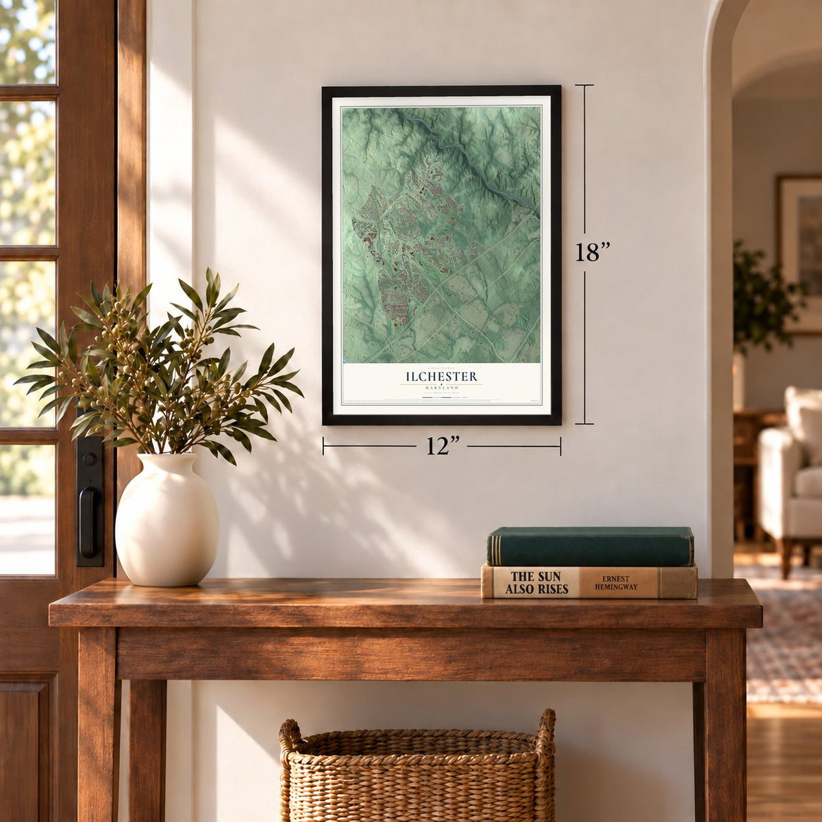
12" x 18" Archival Matte Print
A Map of Home. A Work of Art.
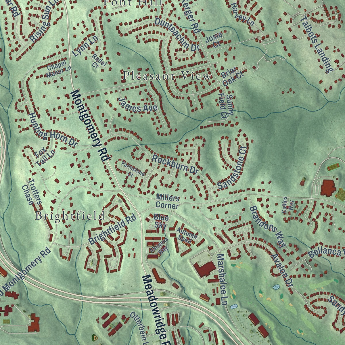
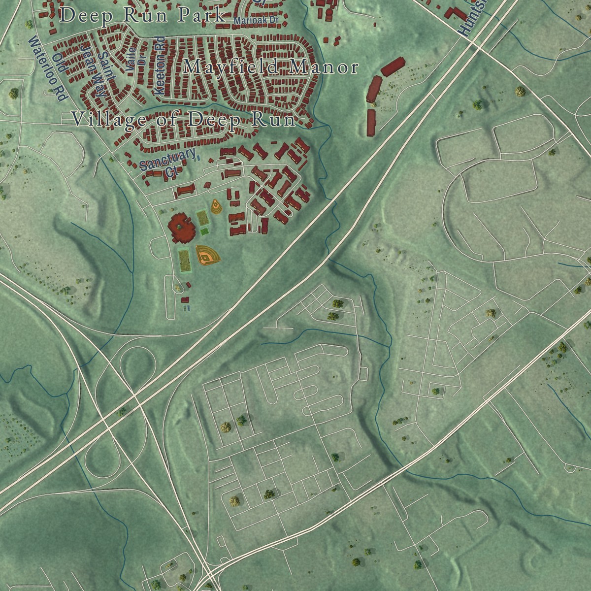
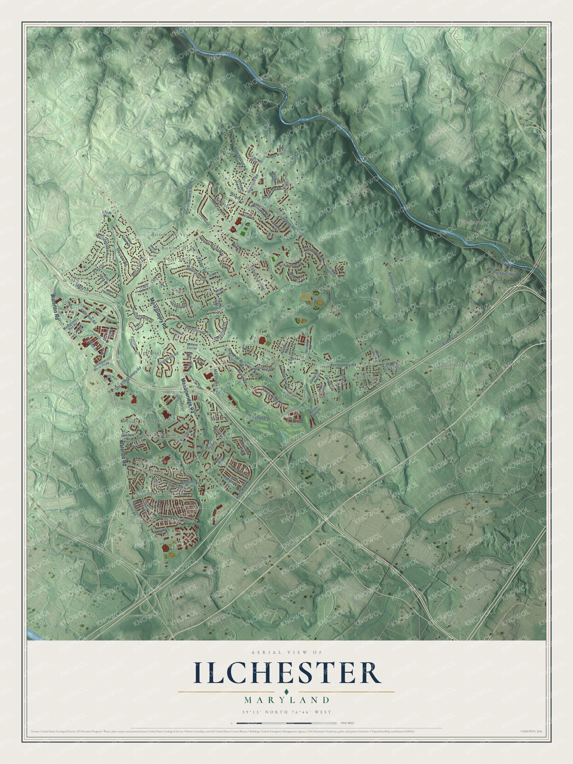
Explore Ilchester, Maryland from a whole new perspective. Created using aerial imagery and detailed geographic data, this map captures Ilchester building by building, with labeled streets, familiar landmarks, and shaded topographical relief that highlights the natural contours of the landscape.
Combining modern data with the timeless character of a vintage atlas, this map is just as interesting up close as it is beautiful on the wall. Whether you grew up in Ilchester, spent memorable years there, or call it home today, this unique map is a great way to celebrate a place that means something to you. Zoom in on the preview to look for your street, and then order a print to put your memories on the wall.
Three ways to hang it
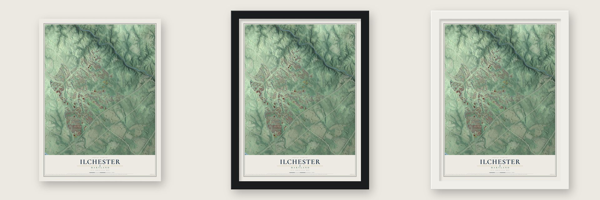
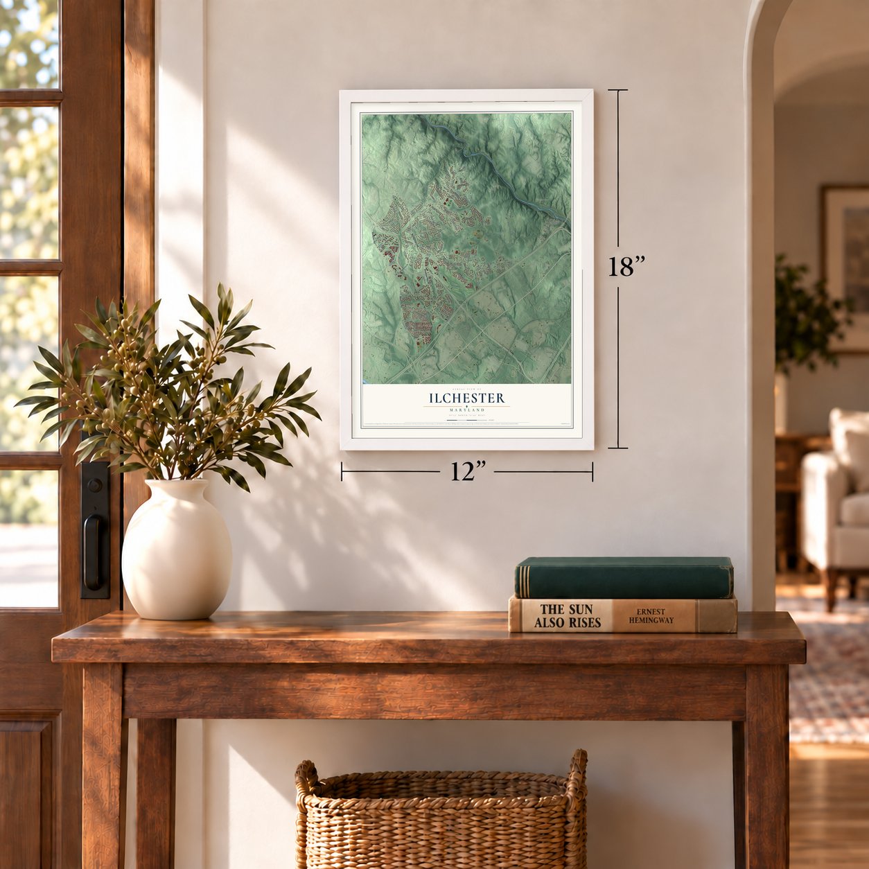
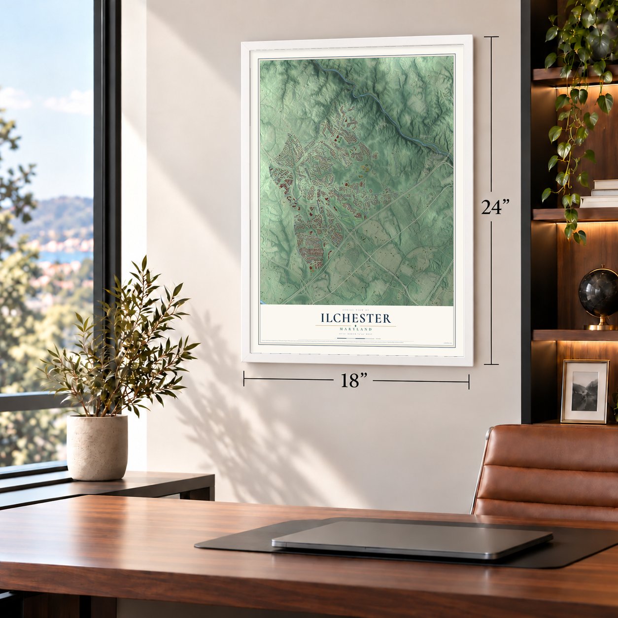
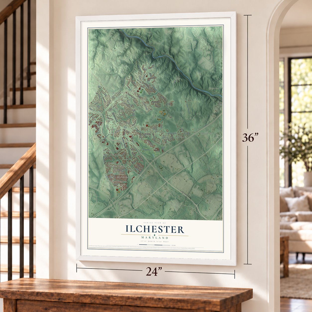
Unframed archival matte, a black wood frame or a white wood frame.
Up close
Geography Worth Displaying
This map was created using accurate cartographic data and authoritative geographic sources, including the U.S. Geological Survey and the Census Bureau. The map brings together terrain, waterways, roads, and building detail. The majority of the streets are labeled, houses are accurately depicted, and the topography is derived from government sources. Combining local data with carefully composed color and shading leads to this beautifully detailed Ilchester artwork for your wall.
Rather than simply showing street outlines, we’ve included as many of the street names as we could reasonably fit on the map while keeping their names legible. Zoom in on the high resolution preview to see exactly what’s on the map. We truly set out to create a statement piece for anyone who loves Ilchester. So whether it’s for you, or a gift for someone you love, we hope this map of Ilchester brings back fond memories.
Read the story behind this map of Ilchester, Maryland from 2026.

Find your street
Names on the Ilchester map
Every name below is printed on this map. Look for your street, your school, the park where you played, or the pond down the road.
Places and landmarks17
- Marshalee Estates
- Glenartney
- Village of Deep Run
- Bonnie Acres
- Quail Ridge
- Woodland Village
- Brightfield
- Timberview
- Pleasant View
- Thompsons Purchase
- Glenmar
- Locust Manor
Show all 17 places
- Mayfield Manor
- Bonnie Brae
- Pfeiffer Corners
- Font Hill
- Deep Run Park
Streets and roads116
- Montgomery Road
- Meadowridge Road
- Waterloo Road
- Ilchester Road
- Bonnie Branch Road
- River Road
- Landing Road
- Kerger Road
- Belmont Woods Road
- Norris Lane
- Marshalee Drive
- Wesley Lane
- Mayfield Avenue
- Glenmar Road
- Marshalee Lane
- Old Montgomery Road
- Talbots Landing
- Elko Drive
- Hunting Horn Drive
- Rockburn Hill Road
- Elibank Drive
- Rockburn Drive
- Ellis Lane
- Avalon Drive
- Falls Run Road
- Grovemont Drive
- Beechwood Road
- Gardenview Drive
- Village Drive
- Huntshire Drive
Show all 116 streets
- Bellanca Drive
- Britten Lane
- Royal Coachman Drive
- Brightfield Road
- Sandy Ridge Court
- Wharff Lane
- Dunteachin Drive
- Winesap Way
- Calvert Drive
- Rising Sun Lane
- Morningside Lane
- Butterfield Drive
- Collingwood Court
- Brandons Way
- Talbot Drive
- Sandstone Court
- Sedgwick Street
- Millbury Court
- Ruxton Drive
- Mitzy Lane
- Parkview Court
- James Avenue
- Lynn Lane
- Old Waterloo Road
- Snowden River Parkway
- Deborah Jean Drive
- Keeton Road
- Crestwood Lane
- Briar Oak Court
- Montgomery Run Road
- Ilchester Woods Way
- Charles Crossing
- Sunny Field Court
- Owens Court
- Saint Jean Way
- Pebble Creek Drive
- Trotters Chase
- Windpower Way
- Hillrise Court
- Old Highgate Drive
- Montery Road
- Ilchester Point Court
- Meadowfield Court
- Little Creek Drive
- Woodloo Drive
- Harvey Lane
- Old Landing Road
- Sanctuary Court
- East Glen Road
- Jeans Way
- Otterbein Lane
- Forest Kelly Court
- Brookview
- Austin Way
- Fox Tail Lane
- Arbor Way
- Millers Corner
- Rice Court
- Josie Court
- Vottas Way
- Blue Sky
- Logans Way
- Woodcrest Drive
- March Brown Road
- Golden Crst
- Autumn Spell
- Oakton Lane
- Hunt Club Road
- Goldfinch Court
- Radel Court
- Vaile Drive
- Old Hunt Club Road
- Chapel Manor Lane
- Sutton Court
- Hale Court
- Lodi Lane
- Elk Mar Drive
- University Boulevard
- Marioak Drive
- Abrianna Way
- Talbots Woods Court
- High Meadow Court
- Farmstone Court
- Bonnie Brae Court
- Cullins Way
- Briar Court
Names are listed as they appear on the printed map. Zoom into the product photos to find them.
About Ilchester, Maryland
Ilchester is a community of 26,824 people in Howard County, where the Patapsco River forms its line with Baltimore County. It takes its name from Ilchester, a village in Somerset, England. Milling here began in 1761, when John Cornthwaite built a wooden grist mill called the Dismal Mill on the west bank of the river. In 1772 the Ellicott brothers, John, Andrew and Joseph, bought a two-mile stretch of the Patapsco that covered both Ellicott Mills and Ilchester.
In 1830 the B&O laid its tracks up the valley through Ilchester, and Andrew's grandson George Ellicott Jr. opened a tavern and a cooper shop beside them. The Thistle Manufacturing Company added a factory in 1837, and for a time the village's industry nearly rivaled Ellicott's Mills. The grades were too steep for the B&O to make Ilchester a major stop, though, and the tavern failed. Mail service began in 1842 under the name "Illchester Mills."
- A college by the riverIn 1866 George Ellicott Jr. sold the old tavern with 110 acres to the Redemptorist order, which opened Mount Saint Clemens college on the estate in 1868. Renamed Saint Mary's College in 1882, it grew with new wings and a chapel, and the chapel became the parish church of Our Lady of Perpetual Help in 1893. The college closed in 1972 as enrollment fell, and in 1987 Maryland made part of the campus into Patapsco Valley State Park land.
- St. Stephen's, founded 1874William H. Jackson had been enslaved and then fought for the Union in the Civil War. He gave the land for St. Stephen's A.M.E. Church, which was founded in 1874, and descendants of many of its first families kept worshiping there.
- The county's smallest post officeIlchester's post office opened in 1842, and the village's B&O station long held it. No rural post office in Howard County was smaller. Teresa Schaad, who served as postmistress, eventually moved the tiny building onto property she owned, and the county's historic survey credits her with saving it.
- Girl Scouts since 1949The Baltimore Council of the Girl Scouts bought Camp Ilchester in 1949, and the camp is still run for Girl Scouts today.
Keep exploring Maryland
Ilchester is one of 881 Maryland towns we've mapped. Every dot on the map is a print of its own.
The search covers every state, Maryland first.
Near Ilchester
Order 2 or more town maps and save 10%. Shown in the size and finish you picked above, so they hang as a set.
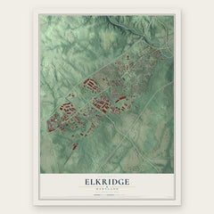
- Elkridge 12" x 18" / Archival Matte Print $39.99
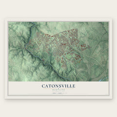
- Catonsville 12" x 18" / Archival Matte Print $39.99
- Hanover Hills 12" x 18" / Archival Matte Print $39.99

More maps nearby: Arbutus, Jessup, Beechfield, Linthicum and Columbia.
The art of mapping a place
How This Map Was Made
Real places. Remarkable detail. Discover the layers that turn geographic data into a map of home.

The view from above
Aerial imagery reveals the character of the land: woodland, open fields, and the patterns of a place.

The shape of the land
Elevation data brings hills, valleys, and subtle changes in the landscape into view.

The details of home
Roads, waterways, and building footprints come together to make the map feel unmistakably local.

Geography becomes art
Considered color, shading, and typography bring the layers together in a map made for your wall.


Process illustrated with Mendon, Massachusetts. Aerial imagery: USDA NAIP. Terrain: USGS 3D Elevation Program. Map details and finished artwork: KNOWOL.
The Details
About This Print
Choose an archival matte print, or a black or white Ayous wood frame. The archival matte print is unframed.
Select your size and finish above to see the matching product image and price.
Materials & Craftsmanship
A contemporary map with the character of a classic atlas, printed on archival matte paper. Optional frames are made from Ayous wood.
Your printed map does not include the watermark shown in the full-map preview.
Shipping & Delivery
Free shipping within the United States. Every print is made to order in the USA.
Buying a gift? Add a note in your cart and we'll include it. We never put prices in the package.
Prints ship within 2 to 3 business days. Allow 7 to 10 days total from ordering for delivery. Timing may vary during holidays or periods of high order volume.
Read our shipping policy.
Returns and damaged prints
Each print is made to order. Change-of-mind refunds are not available after production.
If your print arrives damaged, misprinted or incorrect, contact support@knowol.com within 30 days of receiving it. Include your order number, photos and a description of the issue.
Read our full refund and replacement policy. For questions about your order, email support@knowol.com.