
Search for another town
Free U.S. delivery 7 to 10 days after you order
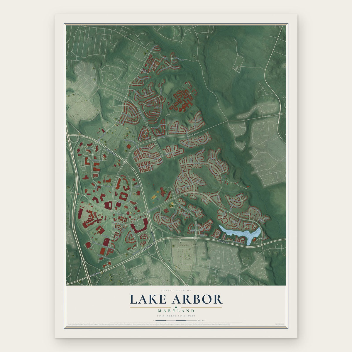
Lake Arbor, Maryland Map Art
Building by building, with labeled streets and shaded relief.
12" x 18" Archival Matte Print
A Map of Home. A Work of Art.
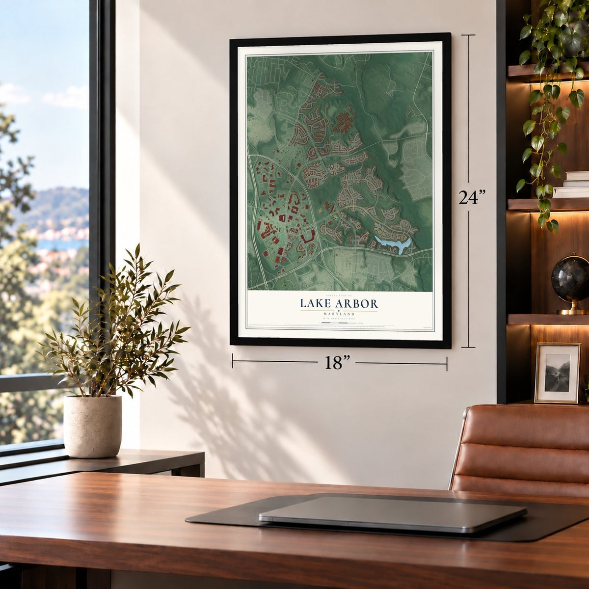
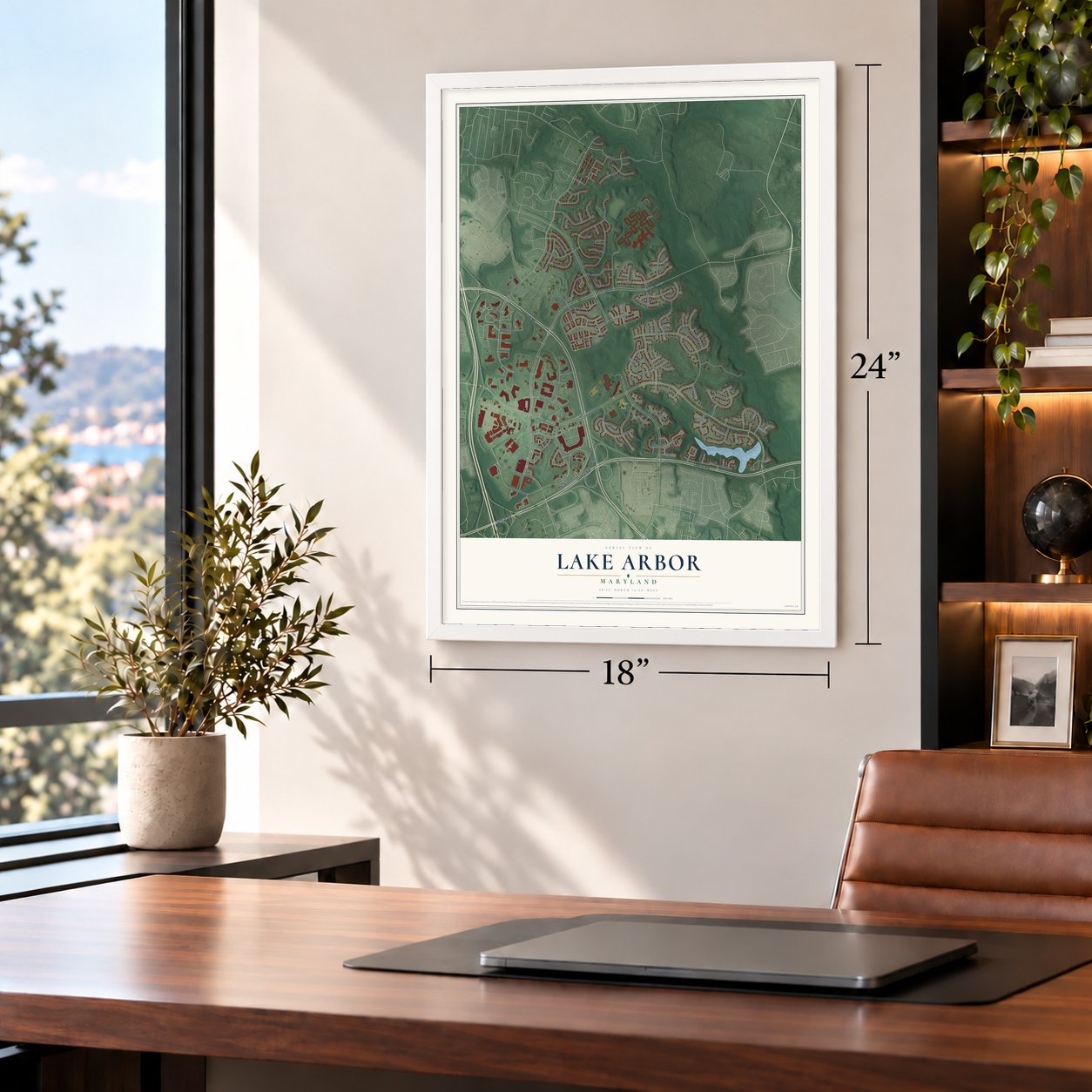
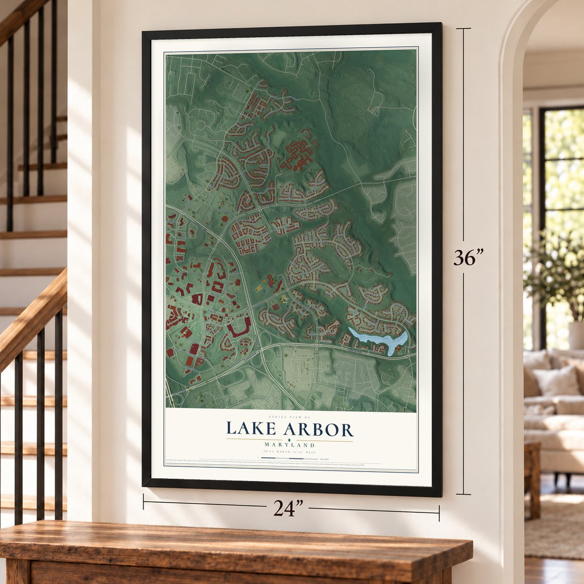
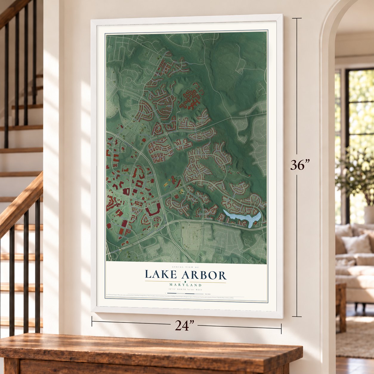
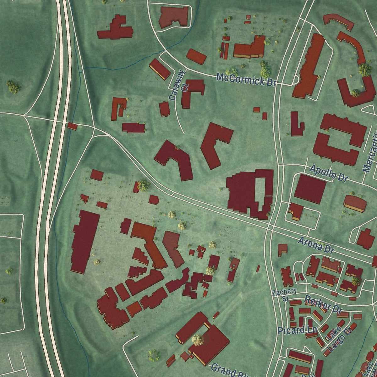
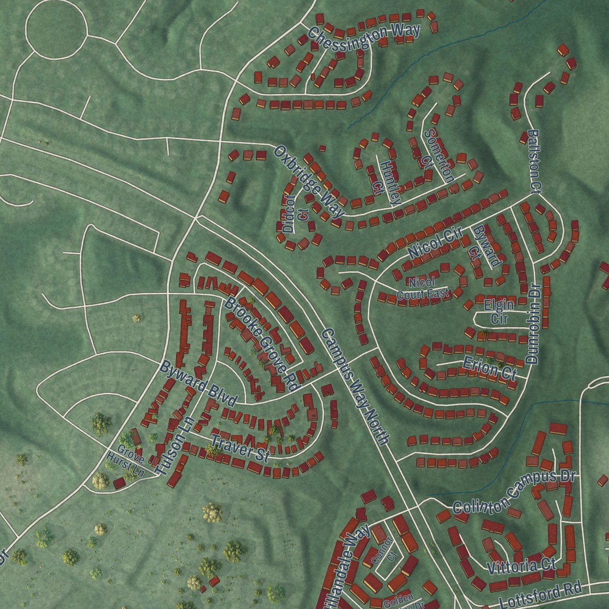
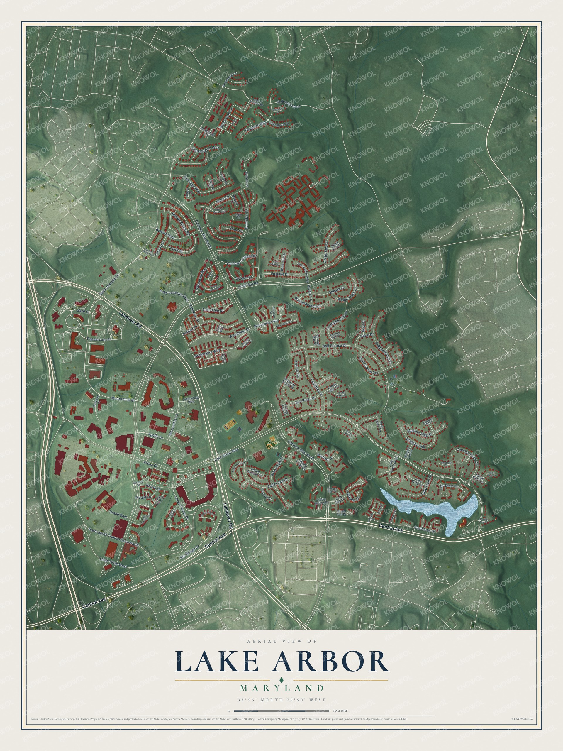
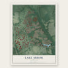
Explore Lake Arbor, Maryland from a whole new perspective. Created using aerial imagery and detailed geographic data, this map captures Lake Arbor building by building, with labeled streets, familiar landmarks, and shaded topographical relief that highlights the natural contours of the landscape.
Combining modern data with the timeless character of a vintage atlas, this map is just as interesting up close as it is beautiful on the wall. Whether you grew up in Lake Arbor, spent memorable years there, or call it home today, this unique map is a great way to celebrate a place that means something to you. Zoom in on the preview to look for your street, and then order a print to put your memories on the wall.
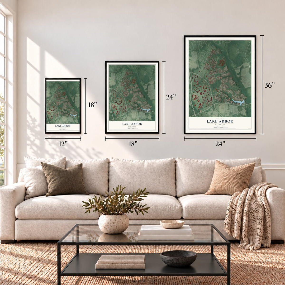
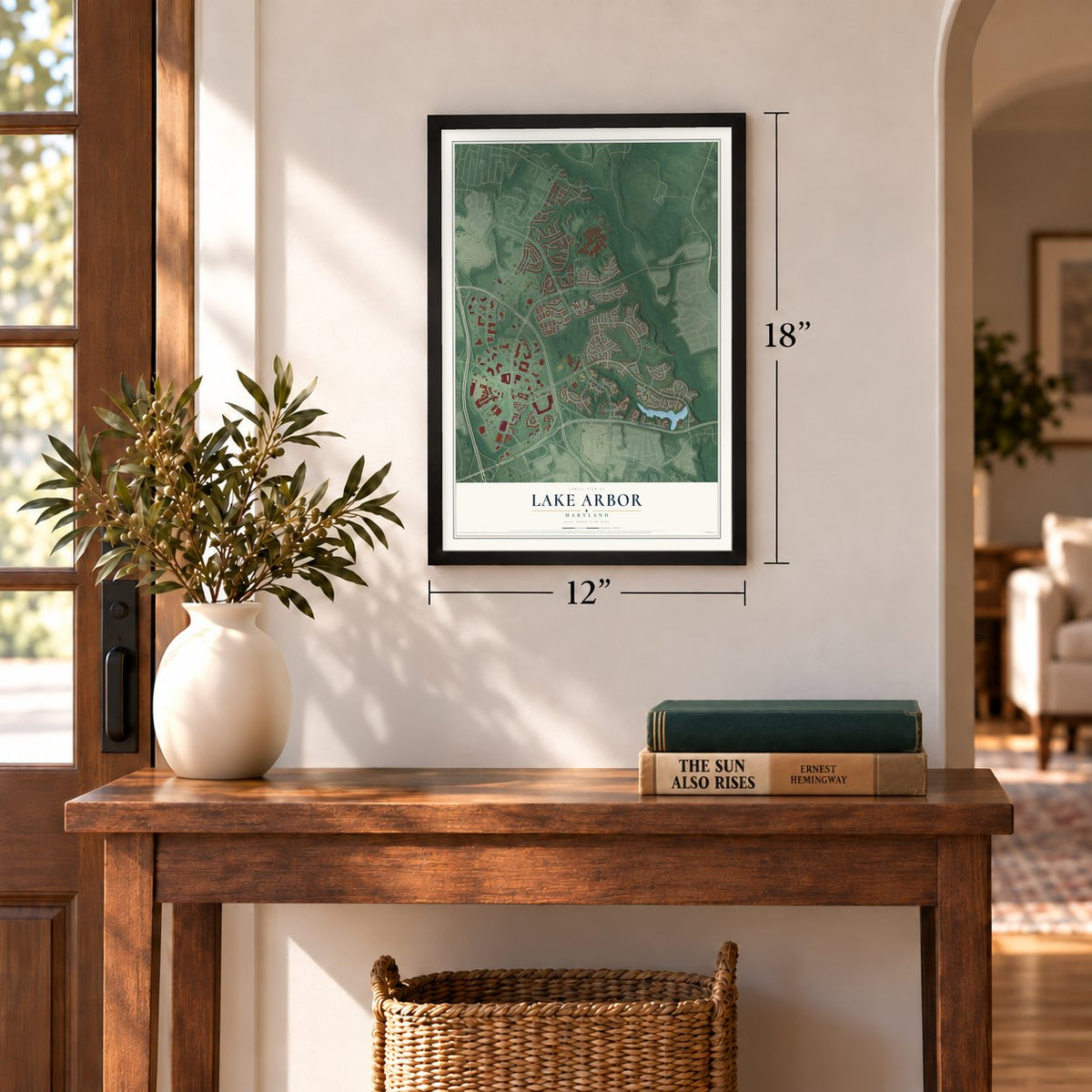
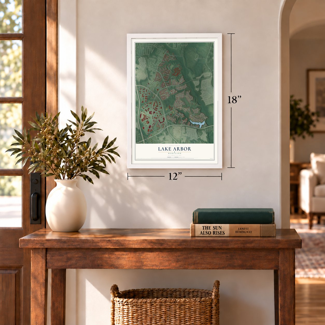
Three ways to hang it
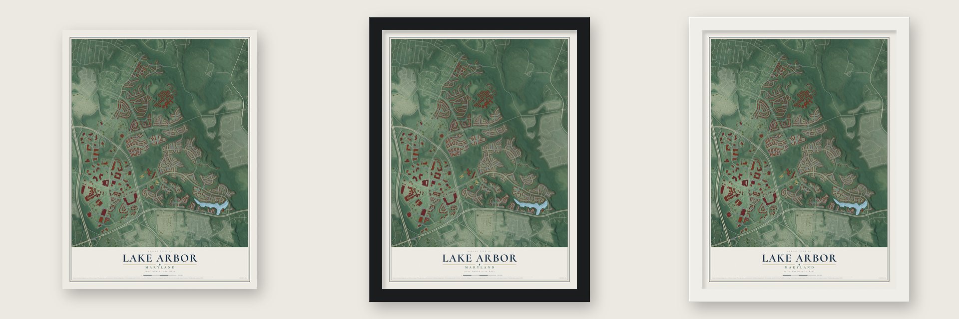
Unframed archival matte, a black wood frame or a white wood frame.
Up close
Geography Worth Displaying
This map was created using accurate cartographic data and authoritative geographic sources, including the U.S. Geological Survey and the Census Bureau. The map brings together terrain, waterways, roads, and building detail. The majority of the streets are labeled, houses are accurately depicted, and the topography is derived from government sources. Combining local data with carefully composed color and shading leads to this beautifully detailed Lake Arbor artwork for your wall.
Rather than simply showing street outlines, we’ve included as many of the street names as we could reasonably fit on the map while keeping their names legible. Zoom in on the high resolution preview to see exactly what’s on the map. We truly set out to create a statement piece for anyone who loves Lake Arbor. So whether it’s for you, or a gift for someone you love, we hope this map of Lake Arbor brings back fond memories.
Read the story behind this map of Lake Arbor, Maryland from 2026.
Find your street
Names on the Lake Arbor map
Every name below is printed on this map. Look for your street, your school, the park where you played, or the pond down the road.
Places and landmarks1
- Arbor Park
Streets and roads126
- Landover Road
- Central Avenue
- Saint Josephs Drive
- McCormick Drive
- Harry South Truman Drive North
- Lottsford Road
- Apollo Drive
- Yellowwood Lane
- Hillandale Way
- Largo Center Drive
- Lake Arbor Way
- Campus Way North
- Arena Drive
- Campus Way South
- Golf Course Drive
- Nicol Circle
- Oxbridge Way
- Tulip Tree Drive
- Fairlakes Place
- Largo Drive West
- Foxlake Drive
- Dunrobin Drive
- Sea Pines Drive
- Cypress Point Circle
- Falls Lake Drive
- Southlake Drive
- Arbor Park Place
- Sky Bridge Drive
- Pebble Beach Drive
- Golf Course Terrace
Show all 126 streets
- Greenspire Way
- Spyglass Hill
- Tulson Lane
- Woodview Drive
- Juniper Drive
- Terrapin Hills Drive
- Foxglove Way
- Byward Boulevard
- Faraway Court
- Berrywood Lane
- Ruby Lockhart Boulevard
- Sahara Lane
- Traver Street
- Willow Oaks Drive
- Mercantile Lane
- Mission Hills Street
- Colinton Campus Drive
- Reiker Drive
- Brooke Grove Road
- Lake Front Drive
- Arctic Fox Drive
- Vittoria Court
- Peppercorn Place
- Palmetto Drive
- Wetherbourne Court
- Chessington Way
- Picard Lane
- Grand Boulevard
- Doral Drive
- Erion Court
- Archer Lane
- Basil Court
- Lake Shore Drive
- Westlake Drive
- Bright Sun Drive
- Doubletree Terrace
- Elders Hollow Drive
- Ballston Court
- Elgin Circle
- Metropolitan Way
- Caraway Court
- Foxmeadow Way
- Lake Vista Lane
- Lake Overlook Drive
- Lazy Day Lane
- Falling Leaf Court
- Somerton Court
- Needleleaf Lane
- White Fox Drive
- Beacon Ridge Drive
- Technology Way
- Lake Largo Drive
- Forest Lake Terrace
- Winged Foot Drive
- River Oaks Terrace
- Indian Summer Court
- Baytree Terrace
- Festival Court
- Doral Court
- Spanish Bay Court
- Black Fox Court
- Indian Wells Lane
- Didcot Court
- Huntley Court
- Bermuda Dunes Court
- Byward Court
- Tilia Way
- Lake Point Court
- Ardwick Ardmore Road
- Town Center Circle
- Zachery Street
- Barrington Court
- Evening Star Place
- Scotch Pine Drive
- Nicol Court East
- Forest Lake Court
- Beecham Court
- Winding Brook Court
- Balsam Poplar Place
- Streamside Drive
- Grove Hurst Lane
- Inverrary Court
- Terrapin Hills Court
- Fox Dale Court
- Spyglass Hill Court
- Millponds Court
- Connor Court
- Golden Morning Drive
- Autumn Ridge Court
- Vista Pointe Drive
- Indian Wells Court
- Burning Tree Court
- Millponds Drive
- Silkwood Court
- Manor Lake Terrace
- Almond Lane
Names are listed as they appear on the printed map. Zoom into the product photos to find them.
About Lake Arbor, Maryland
Lake Arbor is a community of 14,541 people in Prince George's County. Levitt & Sons, the company behind the Levittown suburbs in Pennsylvania and on Long Island, started it as a development called Newbridge. By the mid-1970s the project was bankrupt, with only 41 houses sold. Manufacturer's Hanover Trust took over the debt and held the land for about 10 years. Then a limited partnership that included David A. Gitlitz and Gary S. Lachman bought it, and Lachman gave the property its new name, Lake Arbor.
Many large national builders doubted that buyers in Prince George's County, many of them African Americans moving out from Washington, would pay for upscale features. Porten Sullivan, Pulte, Winchester and other developers built anyway, giving 2000 luxury homes two-car garages, brick fronts and elaborate landscaping during the 1980s. The homes sold, which showed the buying power of a mostly African American market. Lake Arbor made the county a destination for young, affluent African American families leaving Washington for the suburbs.
- Northampton, patented in 1673Long before the subdivisions, this ground was Northampton, a plantation of 1,000 acres granted to Thomas Sprigg in 1673. The Sprigg family lived on it for five generations. One of them, Samuel Sprigg, was still little known in politics when Maryland elected him governor in December 1819. The plantation's foundations survive in parkland on the south side of Lake Arbor Way, with new homes built on the acreage around them.
- A quarter unique in MarylandThe Northampton ruins include a tobacco barn and two quarters where enslaved families lived. One of the quarters is unusually solid, a brick duplex that went up early in the nineteenth century with room for two families, and no other building like it is known in Maryland.
Keep exploring Maryland
Lake Arbor is one of 881 Maryland towns we've mapped. Every dot on the map is a print of its own.
The search covers every state, Maryland first.
Near Lake Arbor
Order 2 or more town maps and save 10%. Shown in the size and finish you picked above, so they hang as a set.
- Springdale 12" x 18" / Archival Matte Print $39.99
- Glenarden 12" x 18" / Archival Matte Print $39.99
- Largo 12" x 18" / Archival Matte Print $39.99

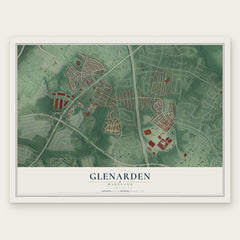

More maps nearby: Summerfield, Mitchellville, Kettering, Woodmore and Landover.
The art of mapping a place
How This Map Was Made
Real places. Remarkable detail. Discover the layers that turn geographic data into a map of home.

The view from above
Aerial imagery reveals the character of the land: woodland, open fields, and the patterns of a place.

The shape of the land
Elevation data brings hills, valleys, and subtle changes in the landscape into view.

The details of home
Roads, waterways, and building footprints come together to make the map feel unmistakably local.

Geography becomes art
Considered color, shading, and typography bring the layers together in a map made for your wall.


Process illustrated with Mendon, Massachusetts. Aerial imagery: USDA NAIP. Terrain: USGS 3D Elevation Program. Map details and finished artwork: KNOWOL.
The Details
About This Print
Choose an archival matte print, or a black or white Ayous wood frame. The archival matte print is unframed.
Select your size and finish above to see the matching product image and price.
Materials & Craftsmanship
A contemporary map with the character of a classic atlas, printed on archival matte paper. Optional frames are made from Ayous wood.
Your printed map does not include the watermark shown in the full-map preview.
Shipping & Delivery
Free shipping within the United States. Every print is made to order in the USA.
Buying a gift? Add a note in your cart and we'll include it. We never put prices in the package.
Prints ship within 2 to 3 business days. Allow 7 to 10 days total from ordering for delivery. Timing may vary during holidays or periods of high order volume.
Read our shipping policy.
Returns and damaged prints
Each print is made to order. Change-of-mind refunds are not available after production.
If your print arrives damaged, misprinted or incorrect, contact support@knowol.com within 30 days of receiving it. Include your order number, photos and a description of the issue.
Read our full refund and replacement policy. For questions about your order, email support@knowol.com.