
Search for another town




Free U.S. delivery 7 to 10 days after you order
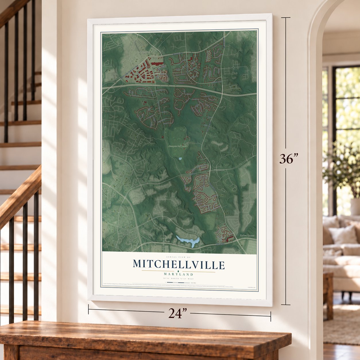
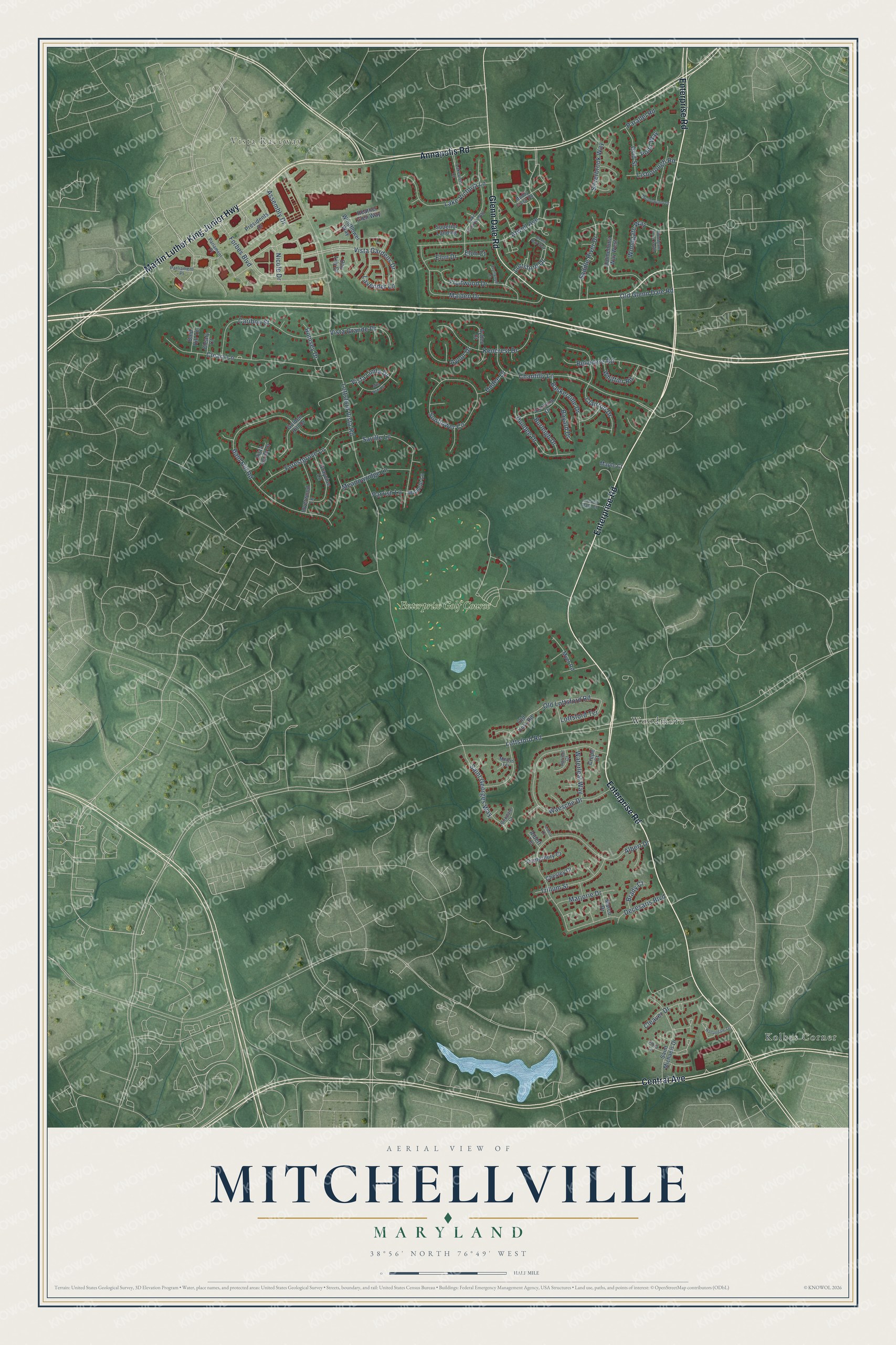
Mitchellville, Maryland Map Art
Building by building, with labeled streets and shaded relief.
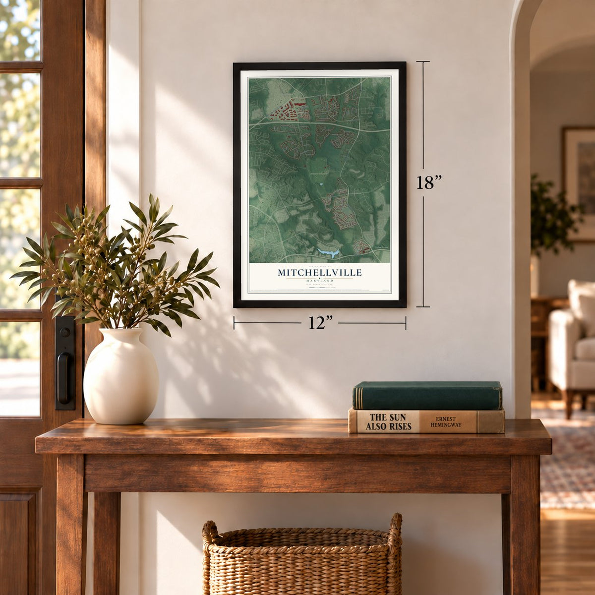
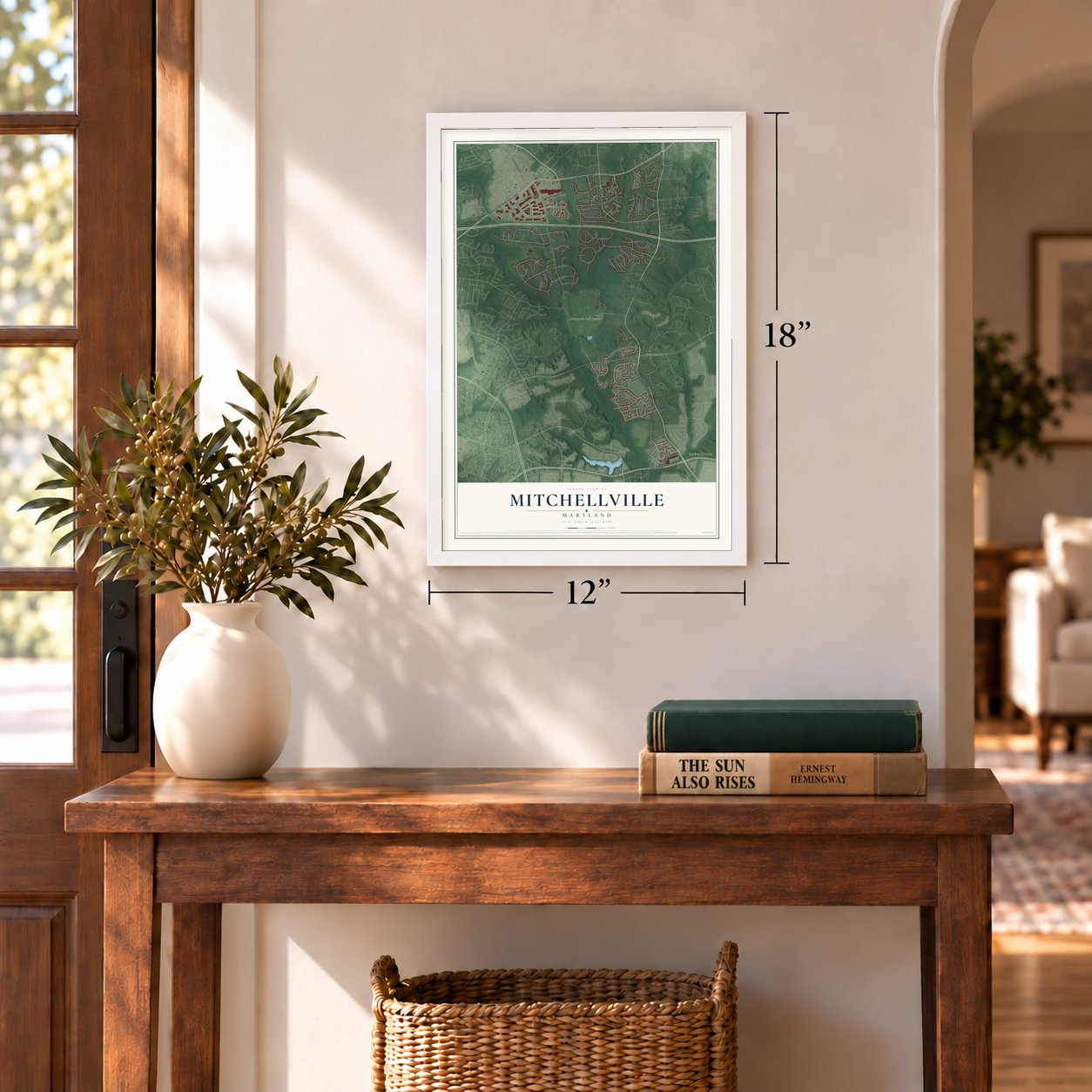
12" x 18" Archival Matte Print
A Map of Home. A Work of Art.
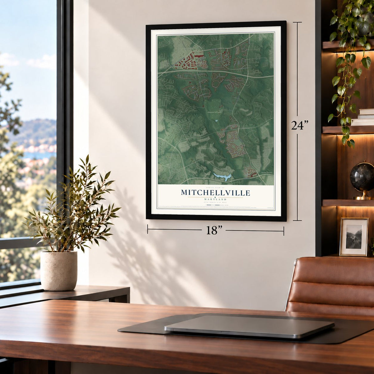
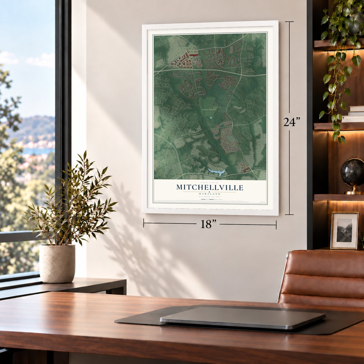
Explore Mitchellville, Maryland from a whole new perspective. Created using aerial imagery and detailed geographic data, this map captures Mitchellville building by building, with labeled streets, familiar landmarks, and shaded topographical relief that highlights the natural contours of the landscape.
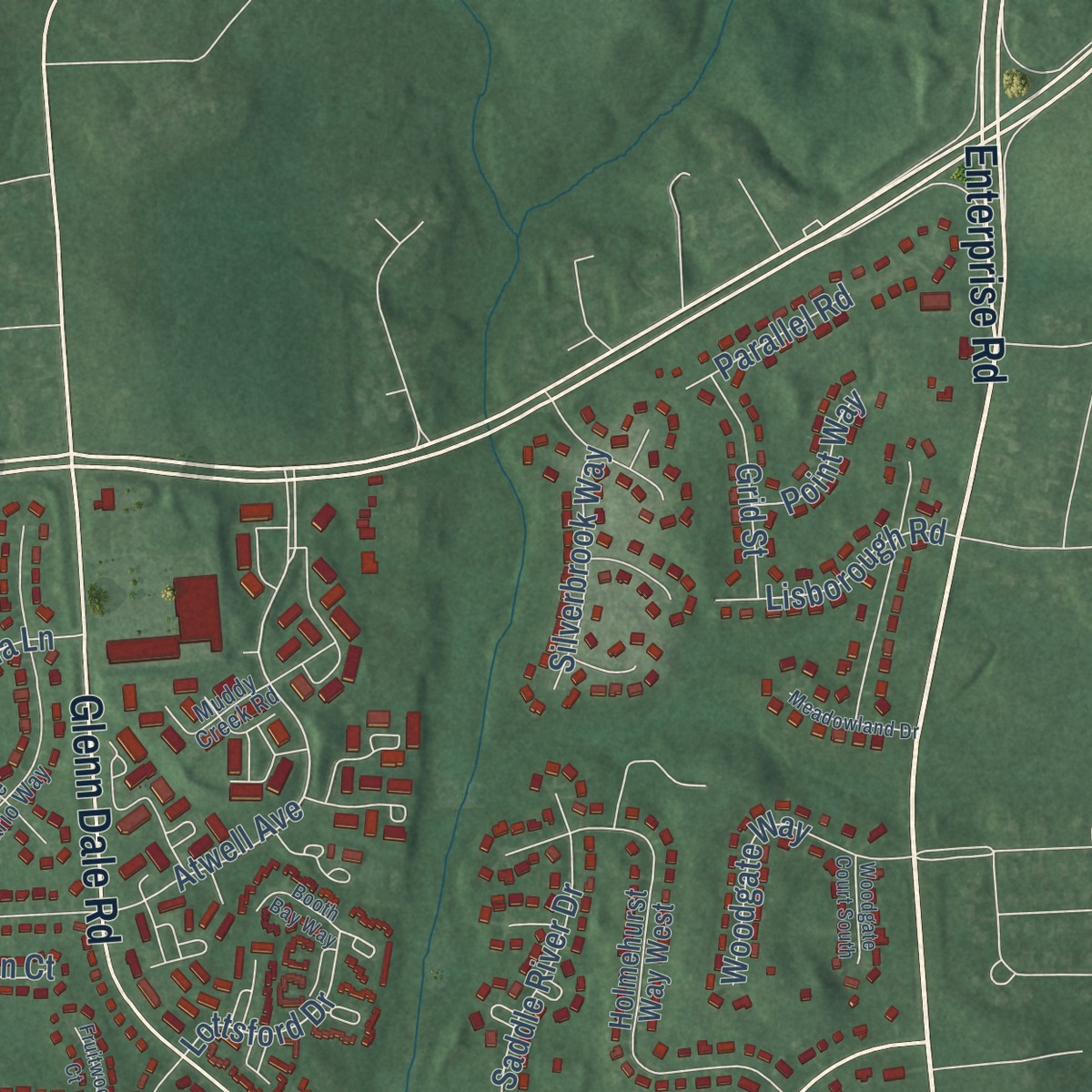
Combining modern data with the timeless character of a vintage atlas, this map is just as interesting up close as it is beautiful on the wall. Whether you grew up in Mitchellville, spent memorable years there, or call it home today, this unique map is a great way to celebrate a place that means something to you. Zoom in on the preview to look for your street, and then order a print to put your memories on the wall.
Three ways to hang it
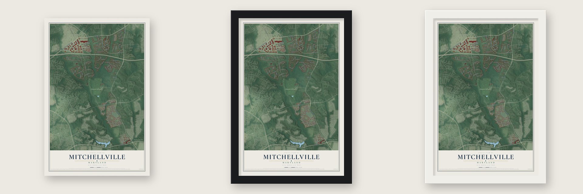
Unframed archival matte, a black wood frame or a white wood frame.
Up close
Geography Worth Displaying
This map was created using accurate cartographic data and authoritative geographic sources, including the U.S. Geological Survey and the Census Bureau. The map brings together terrain, waterways, roads, and building detail. The majority of the streets are labeled, houses are accurately depicted, and the topography is derived from government sources. Combining local data with carefully composed color and shading leads to this beautifully detailed Mitchellville artwork for your wall.
Rather than simply showing street outlines, we’ve included as many of the street names as we could reasonably fit on the map while keeping their names legible. Zoom in on the high resolution preview to see exactly what’s on the map. We truly set out to create a statement piece for anyone who loves Mitchellville. So whether it’s for you, or a gift for someone you love, we hope this map of Mitchellville brings back fond memories.
Read the story behind this map of Mitchellville, Maryland from 2026.

Find your street
Names on the Mitchellville map
Every name below is printed on this map. Look for your street, your school, the park where you played, or the pond down the road.
Places and landmarks4
- Vista Raceway
- Kolbes Corner
- Woodmore
- Enterprise Golf Course
Streets and roads101
- Enterprise Road
- Martin Luther King Junior Highway
- Annapolis Road
- Glenn Dale Road
- Central Avenue
- Lottsford Road
- Vista Gardens Drive
- Atwell Avenue
- Lavender Lane
- Forbes Boulevard
- Old Lottsford Road
- Lottsford Drive
- Lottsford Vista Road
- Bald Hill Road
- Albert Drive
- Waesche Drive
- Chantilly Lane
- Cleary Lane
- Maiden Drive
- Sunflower Circle
- Caribon Street
- Saville Lane
- Clairton Drive
- Kencrest Drive
- Lake Victoria Lane
- Belvidere Road
- Meadowridge Lane
- Fruitwood Drive
- Saint Georges Way
- Forestgrove Lane
Show all 101 streets
- Saddle River Drive
- Cleaver Drive
- Trillum Street
- Dundee Drive
- Vista Grande Drive
- Woodgate Way
- Baskerville Drive
- Aynor Drive
- Marjorie Drive
- Vista Linda Drive
- Decesaris Boulevard
- Whittier Road
- Assembly Drive
- Old Glenn Dale Road
- Lisborough Road
- Silverbrook Way
- Lottsford Terrace
- Waterleaf Way
- Elon Drive
- Grid Street
- Burleigh Drive
- Romsey Drive
- Bayard Drive
- Parallel Road
- Hudee Drive
- Point Way
- Brady Court
- Parrish Lane
- Nicole Drive
- Elon Court
- Holmehurst Way West
- Old York Road
- Saint Michaels Drive
- Myer Road
- Grayvine Lane
- Golden Hill Drive
- Inverwood Lane
- Windflower Way
- Earlston Drive
- Canterbury Court
- Presidents Drive
- Heather Glen Way
- Superior Landing
- Ayden Court
- Vista Verde Drive
- Michele Lane
- Chesley Court
- Marco Drive
- Bald Hill Terrace
- Day Lily Drive
- Maple Court
- Cleary Court
- Albert Terrace
- Crepe Court
- Parliament Place
- Lake Ontario Way
- Lakeview Lane
- Parlament Place
- Muddy Creek Road
- Apricot Court
- Locust Dale Court
- Birkdale Court
- Flora Lane
- Millers Terrace
- Hallandale Terrace
- Alta Vista Drive
- Meadowland Drive
- Woodgate Court South
- Booth Bay Way
- Fruitwood Court
- Albert Court
Names are listed as they appear on the printed map. Zoom into the product photos to find them.
About Mitchellville, Maryland
Mitchellville is a majority African-American community of 11,136 people in Prince George's County. It takes its name from John Mitchell, who lived from 1788 to 1862 and owned Essington Hall, a plantation that covered much of the surrounding land. Mitchell and his wife, Mary Lanham, were buried in a family cemetery at the corner of today's Mitchellville and Mount Oak roads.
For generations, farming families here raised tobacco and cattle on their homesteads. To make Prince George's more appealing to professionals, the county rezoned many tracts of land, and between 1979 and 1995 much of the old farmland was rebuilt as homes and businesses. The census lines have shifted as well: the original Mitchellville around Essington Hall now lies in South Bowie, while today's Mitchellville sits just west of Woodmore.
- A post office by 1878An 1878 G.M. Hopkins atlas marks "Mitchellville P.O." near the corner of what are now Mitchellville and Mount Oak roads. A railroad stop known as both Mullikin and Mitchellville also handled the mail, and the U.S. Geological Survey relied on a railroad guide when it first recorded the town's name.
- A Navy captain's farmCaptain Newton Harris White Jr., the USS Enterprise's first commanding officer, purchased 512.59 acres of Mitchellville farmland on November 6, 1937. Two years later, in 1939, he built a home on the property that is still known as the Newton White Mansion.
- Enterprise Golf CourseIn 1971 the property passed as a gift from the captain's widow, Rebecca Terry White, to Maryland-National Capital Park and Planning Commission, which made the grounds into the Enterprise Golf Course. Its first golfers teed off in October 1976 at 3006 Enterprise Road.
Keep exploring Maryland
Mitchellville is one of 874 Maryland towns we've mapped. Every dot on the map is a print of its own.
The search covers every state, Maryland first.
Near Mitchellville
Order 2 or more town maps and save 10%. Shown in the size and finish you picked above, so they hang as a set.
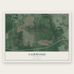
- Woodmore 12" x 18" / Archival Matte Print $39.99
- Springdale 12" x 18" / Archival Matte Print $39.99
- Fairwood 12" x 18" / Archival Matte Print $39.99


More maps nearby: Lake Arbor, Lanham, Glenarden, Glenn Dale and Kettering.
The art of mapping a place
How This Map Was Made
Real places. Remarkable detail. Discover the layers that turn geographic data into a map of home.

The view from above
Aerial imagery reveals the character of the land: woodland, open fields, and the patterns of a place.

The shape of the land
Elevation data brings hills, valleys, and subtle changes in the landscape into view.

The details of home
Roads, waterways, and building footprints come together to make the map feel unmistakably local.

Geography becomes art
Considered color, shading, and typography bring the layers together in a map made for your wall.


Process illustrated with Mendon, Massachusetts. Aerial imagery: USDA NAIP. Terrain: USGS 3D Elevation Program. Map details and finished artwork: KNOWOL.
The Details
About This Print
Choose an archival matte print, or a black or white Ayous wood frame. The archival matte print is unframed.
Select your size and finish above to see the matching product image and price.
Materials & Craftsmanship
A contemporary map with the character of a classic atlas, printed on archival matte paper. Optional frames are made from Ayous wood.
Your printed map does not include the watermark shown in the full-map preview.
Shipping & Delivery
Free shipping within the United States. Every print is made to order in the USA.
Buying a gift? Add a note in your cart and we'll include it. We never put prices in the package.
Prints ship within 2 to 3 business days. Allow 7 to 10 days total from ordering for delivery. Timing may vary during holidays or periods of high order volume.
Read our shipping policy.
Returns and damaged prints
Each print is made to order. Change-of-mind refunds are not available after production.
If your print arrives damaged, misprinted or incorrect, contact support@knowol.com within 30 days of receiving it. Include your order number, photos and a description of the issue.
Read our full refund and replacement policy. For questions about your order, email support@knowol.com.