
Search for another town

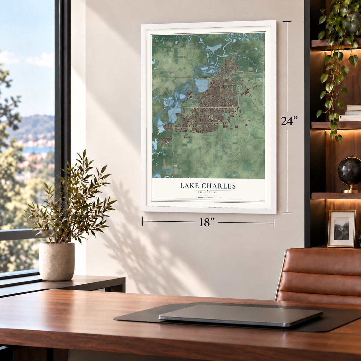

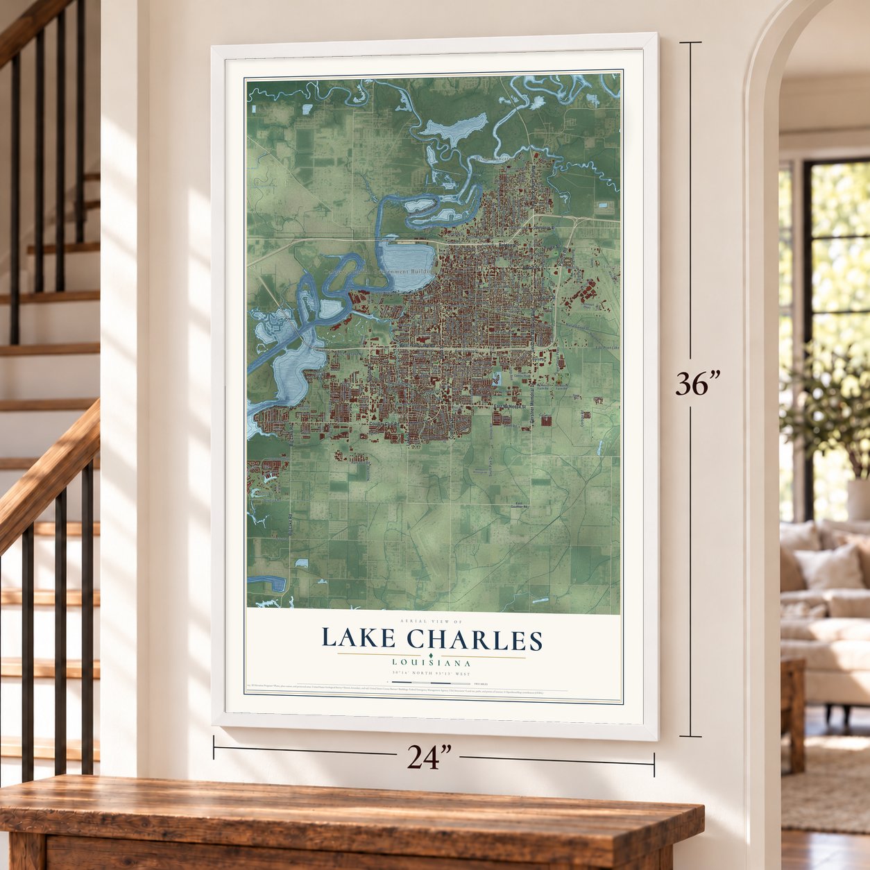
Free U.S. delivery 7 to 10 days after you order
Lake Charles, Louisiana Map Art
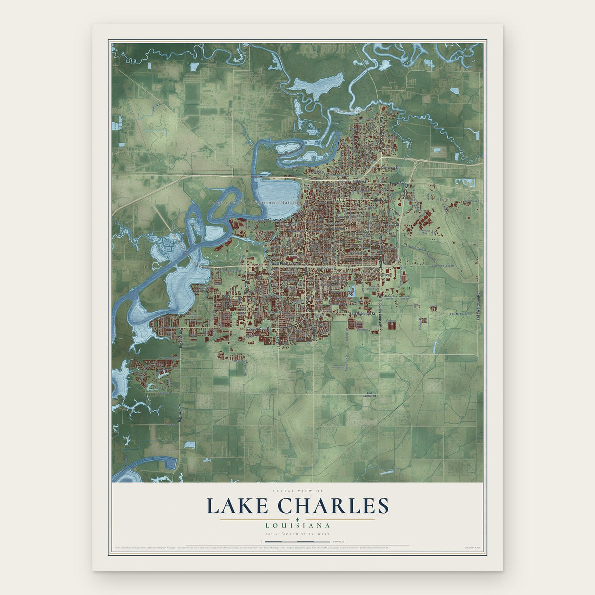
A new map of Lake Charles, Louisiana, made in 2026 and printed to order on thick archival matte paper.
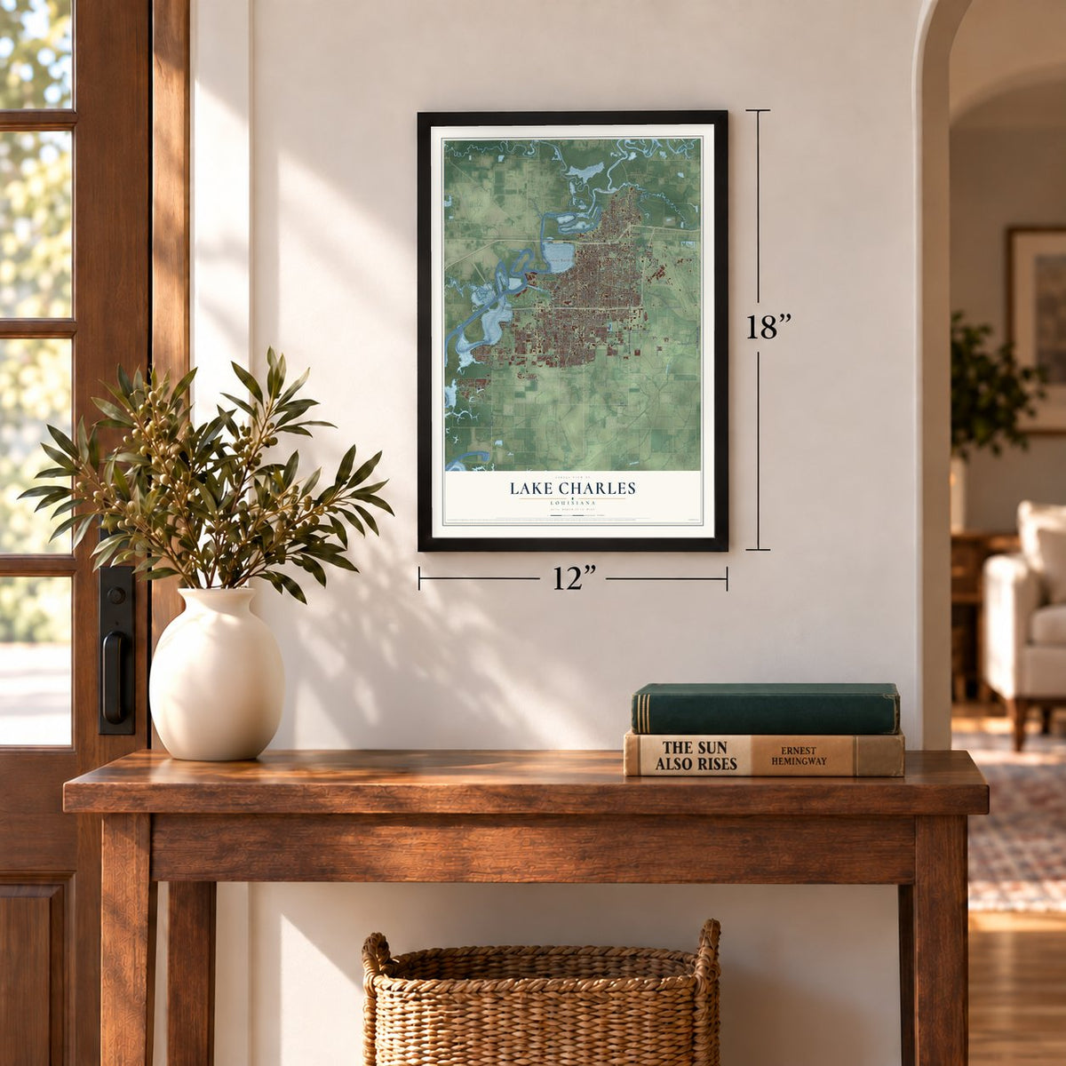
12" x 18" Archival Matte Print
A Map of Home. A Work of Art.
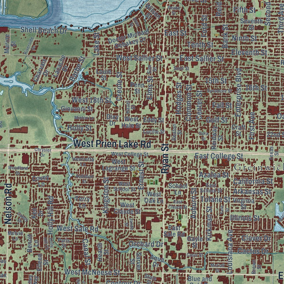
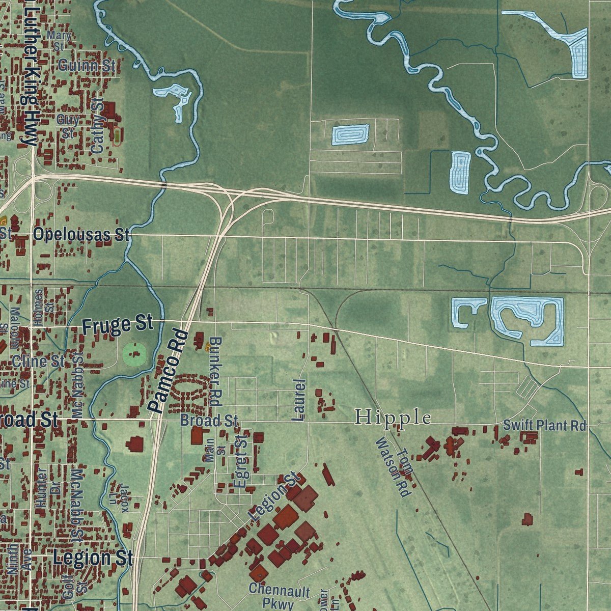
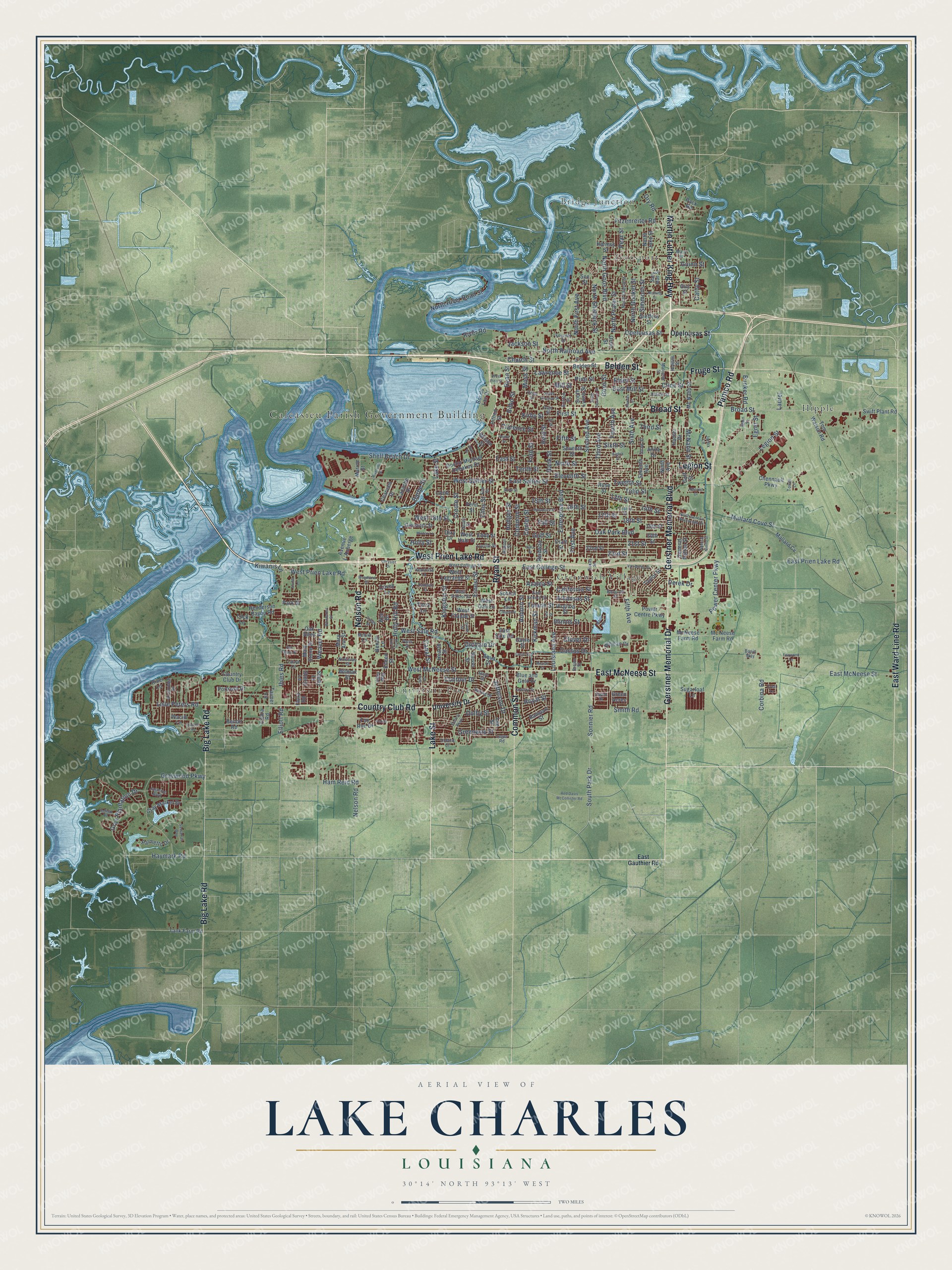
Explore Lake Charles, Louisiana from a whole new perspective. Created using aerial imagery and detailed geographic data, this map captures Lake Charles building by building, with labeled streets, familiar landmarks, and shaded topographical relief that highlights the natural contours of the landscape.
Combining modern data with the timeless character of a vintage atlas, this map is just as interesting up close as it is beautiful on the wall. Whether you grew up in Lake Charles, spent memorable years there, or call it home today, this unique map is a great way to celebrate a place that means something to you. Zoom in on the preview to look for your street, and then order a print to put your memories on the wall.
Three ways to hang it
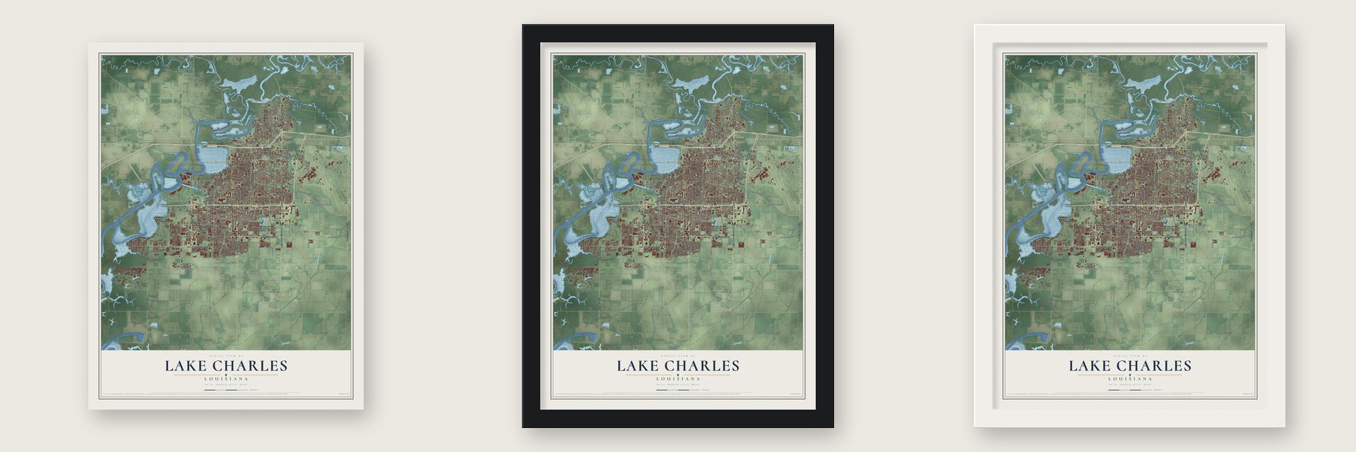
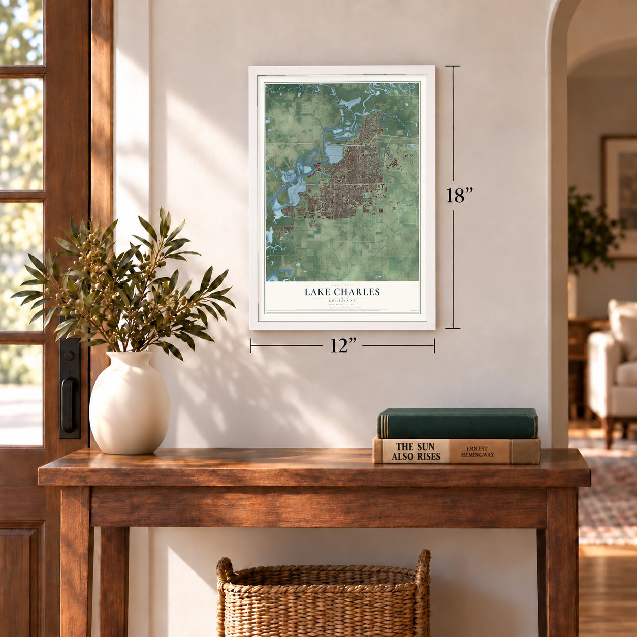
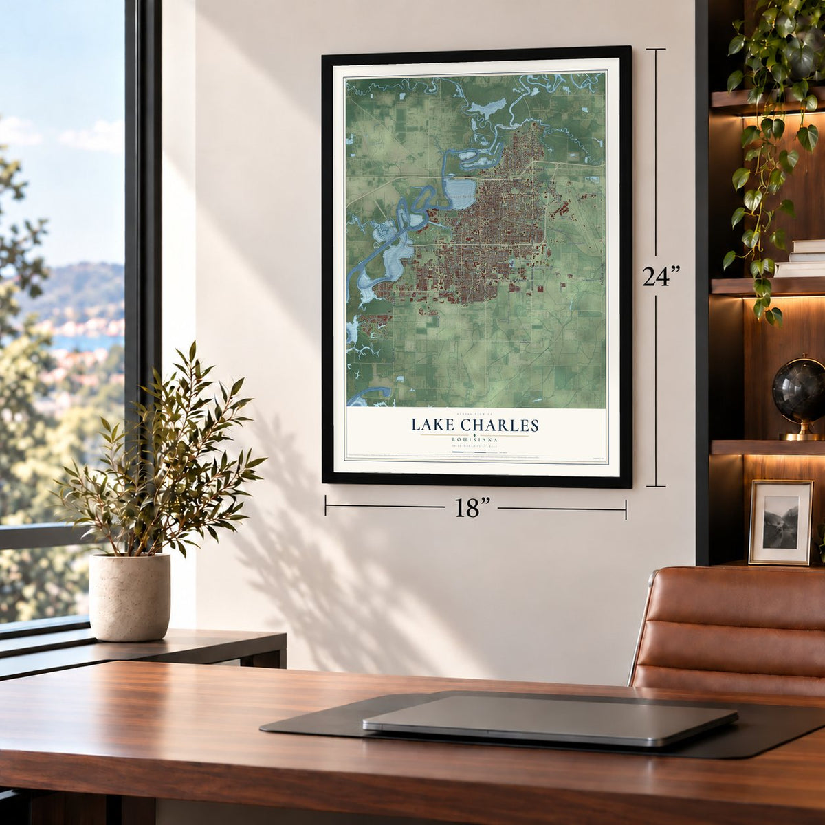
Unframed archival matte, a black wood frame or a white wood frame.
Up close
Geography Worth Displaying
This map was created using accurate cartographic data and authoritative geographic sources, including the U.S. Geological Survey and the Census Bureau. The map brings together terrain, waterways, roads, and building detail. The majority of the streets are labeled, houses are accurately depicted, and the topography is derived from government sources. Combining local data with carefully composed color and shading leads to this beautifully detailed Lake Charles artwork for your wall.
Rather than simply showing street outlines, we’ve included as many of the street names as we could reasonably fit on the map while keeping their names legible. Zoom in on the high resolution preview to see exactly what’s on the map. We truly set out to create a statement piece for anyone who loves Lake Charles. So whether it’s for you, or a gift for someone you love, we hope this map of Lake Charles brings back fond memories.
Read the story behind this map of Lake Charles, Louisiana from 2026.
About Lake Charles, Louisiana
Lake Charles is a city of 84,872 people and the seat of Calcasieu Parish, on the Calcasieu River where it widens into the lake. About 1851 Jacob Ryan, an early settler and the town's first merchant, got the parish seat moved here, and he and his partners laid out a town around Ryan Street. It was incorporated as Charleston on March 7, 1861, taking its name from early settler Charles Sallier, and on March 16, 1867, it became the City of Lake Charles.
Lumber built the young town. Between 1870 and 1880 the Louisiana Western railroad reached Lake Charles, and lumbermen from Minnesota, Wisconsin and Michigan bought timberland and opened big sawmills. In 1883 J. B. Watkins bought 3,000,000 acres reaching almost to the town site, built a railroad to Alexandria and advertised the region to draw settlers from the north and west. The 1880 census had counted 800 people; by 1910 there were 11,449, with electric streetcars, four banks, a rice mill and the biggest rice warehouse anywhere along the Gulf.
- A port opened in 1926Early ships could reach Lake Charles only at high tide, over the shallow entrance to Calcasieu Lake. In 1913 and 1914 a stretch of the future Gulf Intracoastal Waterway tied Sabine Pass to the city's rail terminals, and in 1924 the legislature created a harbor district, which opened the port in November 1926. Congress funded a deep channel straight to the Gulf in 1938, and World War II pushed it to completion in 1941.
- Rebuilt after the 1910 fireThe Great Fire of April 1910 wiped out much of Lake Charles, but the city rebuilt and kept growing through the 20th century. The Charleston Hotel, finished in 1929 while Henry J. Geary was mayor, carries the town's first name and joined the National Register in 1982.
- Mardi Gras since 1882Lake Charles Mardi Gras began in 1882, when Momus, King of Mardi Gras, came ashore on his royal yacht at Pujo Street downtown. The celebration shrank during both World Wars, then returned with the first Mardi Gras Ball in 1964. Krewe captains formed the Krewe of Krewes in 1979 to bring back the parades, volunteers organized Mardi Gras of Imperial Calcasieu in 1985, and crowds now reach 150,000.
- Two hurricanes in 2020Hurricane Laura, a Category 4 storm, struck the city on August 26 and 27, 2020, with sustained winds of 150 mph and a gust of 137 mph in town. It blew out many windows of the Capital One Tower downtown, which was later torn down, and Hurricane Delta hit on October 9. Hurricane Rita had already done heavy damage here in 2005.
Find your street
Names on the Lake Charles map
Every name below is printed on this map. Look for your street, your school, the park where you played, or the pond down the road.
Places and landmarks6
- Calcasieu Parish Government Building
- Bridge Junction
- Goosport
- Greinwich Village
- Hipple
- University Place
Streets and roads300
- Gerstner Memorial Drive
- Gerstner Memorial Boulevard
- Ryan Street
- Country Club Road
- East McNeese Street
- Broad Street
- Common Street
- Lake Street
- Pamco Road
- East Ward Line Road
- Big Lake Road
- Nelson Road
- Martin Luther King Highway
- West Prien Lake Road
- Fruge Street
- Legion Street
- Belden Street
- Enterprise Boulevard
- Shell Beach Drive
- Gray Plantation Drive
- River Road
- Haymark Road
- Lisle Peters Road
- Lawrence Street
- East Sallier Street
- Twelfth Street
- North Shattuck Street
- East Mill Street
- East Prien Lake Road
- First Avenue
Show all 300 streets
- Kirkman Street
- Louisiana Avenue
- Hodges Street
- Mallard Cove Street
- Fifth Avenue
- West Sale Road
- West Sallier Street
- Sonnier Road
- South Park Drive
- North Goos Boulevard
- Eleventh Street
- Sixth Street
- Bank Street
- West McNeese Street
- Tenth Street
- 18th Street
- 17th Street
- Weaver Road
- Ninth Street
- Ernest Street
- Fourth Avenue
- Third Avenue
- Second Avenue
- Jefferson Drive
- Graywood Parkway
- 14th Street
- 13th Street
- Center Street
- Third Street
- East College Street
- North Prater Street
- Moss Street
- Opelousas Street
- Mill Street
- Simmons Street
- Jackson Street
- Bilbo Street
- North Booker Street
- Creole Street
- Ford Street
- Fitzenreiter Road
- Oak Park Boulevard
- Church Street
- Corbina Road
- Power Center Parkway
- West 18th Street
- Reid Street
- 15th Street
- Ham Reid Road
- Holly Hill Road
- Pear Street
- Fifth Street
- Pine Street
- 21st Street
- North River Road Street
- 16th Street
- North First Avenue
- North Railroad Avenue
- 23rd Street
- Contour Drive
- First Street
- Cline Street
- Sixth Avenue
- Smith Road
- Elms Street
- Dolby Street
- Auburn Street
- Kirby Street
- Cactus Drive
- Ihles Road
- Orchard Drive
- Clarence Street
- Tulane Street
- Canal Street
- Clover Drive
- Elliott Road
- Illinois Street
- Barbe Street
- Kiwanis Lane
- Cathy Street
- Bunker Road
- Derek Drive
- Goos Street
- Kingston Street
- Greenway Street
- Gulf Street
- California Street
- Fall Street
- Arkansas Street
- McNabb Street
- Tulip Street
- Royal Street
- Egret Street
- East Street
- Ory Road
- Elder Street
- Azalea Street
- Guinn Street
- Holly Street
- Laurel
- University Drive
- McNeese Farm Road
- Marine Street
- Benoit Road
- Sheryl Lane
- Seventh Street
- Seventh Avenue
- 20th Street
- North Jake Street
- Gieffers Street
- 22nd Street
- West Claude Street
- Rose Street
- West Lagrange Street
- See Street
- Gray Market Drive
- Doctor Michael Debakey Drive
- Louie Street
- Penn Street
- Craft Street
- Mallard Cv
- West Oak Lane
- West Hale Street
- Harless Street
- Henderson Bayou Road
- Orrin Street
- Bor du Lac Drive
- South Lyons Street
- Prejean Drive
- General Patton Street
- Chennault Parkway
- Lock Lane
- Pithon Street
- Taylor Street
- Palmetto Drive
- Dixy Drive
- Power Centre Parkway
- Mc Nabb Street
- Tank Farm Road
- Sugarloaf Lane
- 19th Street
- Swift Plant Road
- Portrush Drive
- Ninth Avenue
- Avenue L'Auberge
- Giovanni Street
- Maid Stone Drive
- Tom Watson Road
- Hunter Drive
- Country Club Drive
- Charvais Drive
- Mc Neese Farm Road
- Lee Street
- Anita Drive
- Blue and Gold Drive
- Reidway Street
- Lacache Drive
- Rampart Street
- Virginia Street
- Benoit Lane
- Wilson Street
- School Lane
- East Sale Road
- Eddy Street
- Hearth Street
- Pack Road
- Wilmax Street
- Gayle Street
- Sarver Street
- Mary Ann Street
- Flora Road
- Cobra Road
- Covey Lane
- Park Drive
- Shelly Lane
- Taimer Lane
- Fox Run Drive
- Guy Street
- Terry Lane
- Placid Lane
- Eileen Street
- Golf Street
- Green Acres
- River Lane
- Oak Alley
- Aqua Drive
- Ken Drive
- East Gauthier Road
- Main Street
- East School Street
- Fournet Street
- North Cherry Street
- West School Street
- West College Street
- Deaton Street
- Orchid Street
- Elm Street
- Pujo Street
- Texas Street
- Boston Street
- Sally Mae Street
- Elaine Street
- Mary Street
- Spring Street
- Hazel Street
- Holmes Street
- Riverridge Drive
- State Street
- Laura Lane
- Leger Road
- Malcolm Street
- Jasmine Boulevard
- Oxford Court
- Henrietta Lane
- Lucille Street
- Bancroft Street
- Indigo Place
- Nicholas Street
- Alley Way
- Shaw Street
- Brown Street
- Tower Lane
- Melvin Lane
- Drew Street
- Owen Drive
- Paris Street
- Basin Way
- Jacox Lane
- Eighth Street
- Moeling Street
- Red Davis McCollister Road
- Central Parkway
- South Shattuck Street
- Iris Street
- Van Buren Street
- Sassafras Way
- Sale Lane
- Sycamore Street
- Hillcrest Drive
- North General Wainwright Drive
- Alvin Street
- Pecan
- Cappy Drive
- South Division Street
- Riverside Drive
- Yale Street
- Woodcrest Street
- East Claude Street
- Cowboy Drive
- Jande Street
- Rhodes Street
- Salene Road
- Woodland Drive
- Minton Lane
- McCall Street
- Fairwood Lane
- Audubon Street
- Rue Calais Drive
- Arvilla Lane
- West Pine Street
- Chrysler Drive
- Admiral Nimitz Street
- Crest Lane
- Cusic Street
- Holly Hill Court
- Scott Street
- Fry Street
- Peake Street
- Marie Court
- Dora Street
Names are listed as they appear on the printed map. Zoom into the product photos to find them.
The art of mapping a place
How This Map Was Made
Real places. Remarkable detail. Discover the layers that turn geographic data into a map of home.

The view from above
Aerial imagery reveals the character of the land: woodland, open fields, and the patterns of a place.

The shape of the land
Elevation data brings hills, valleys, and subtle changes in the landscape into view.

The details of home
Roads, waterways, and building footprints come together to make the map feel unmistakably local.

Geography becomes art
Considered color, shading, and typography bring the layers together in a map made for your wall.


Process illustrated with Mendon, Massachusetts. Aerial imagery: USDA NAIP. Terrain: USGS 3D Elevation Program. Map details and finished artwork: KNOWOL.
The Details
About This Print
Choose an archival matte print, or a black or white Ayous wood frame. The archival matte print is unframed.
Select your size and finish above to see the matching product image and price.
Materials & Craftsmanship
A contemporary map with the character of a classic atlas, printed on archival matte paper. Optional frames are made from Ayous wood.
Your printed map does not include the watermark shown in the full-map preview.
Shipping & Delivery
Free shipping within the United States. Every print is made to order in the USA.
Buying a gift? Add a note in your cart and we'll include it. We never put prices in the package.
Prints ship within 2 to 3 business days. Allow 7 to 10 days total from ordering for delivery. Timing may vary during holidays or periods of high order volume.
Read our shipping policy.
Returns and damaged prints
Each print is made to order. Change-of-mind refunds are not available after production.
If your print arrives damaged, misprinted or incorrect, contact support@knowol.com within 30 days of receiving it. Include your order number, photos and a description of the issue.
Read our full refund and replacement policy. For questions about your order, email support@knowol.com.
Find your town
Looking for another city?
Find a map of home in our Louisiana collection, or any town in the country.
Nearby
Maps of towns near Lake Charles
Know someone from one of these towns? Their map makes a great gift.
 Prien
Prien, Louisiana
From $39.99See the map
 Westlake
, Louisiana
From $39.99See the map
 Moss Bluff
, Louisiana
From $39.99See the map
More maps nearby: Sulphur, Carlyss, Iowa, Gillis and Lacassine.