
Search for another town

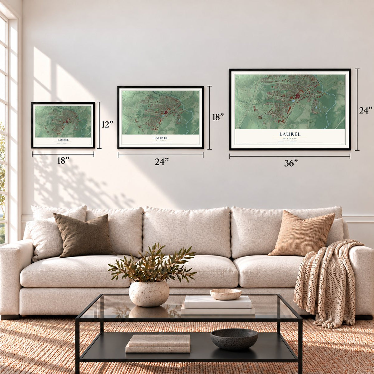
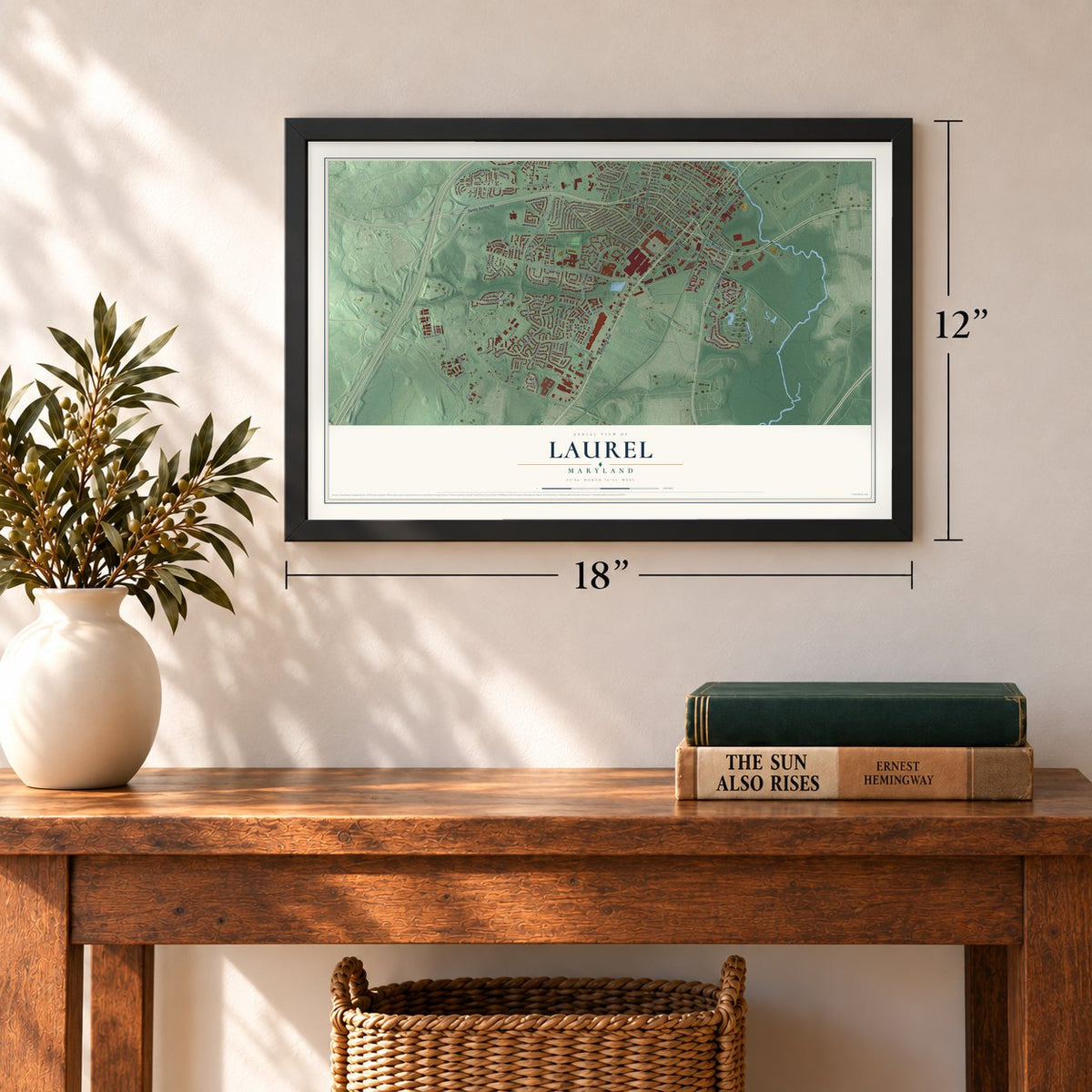
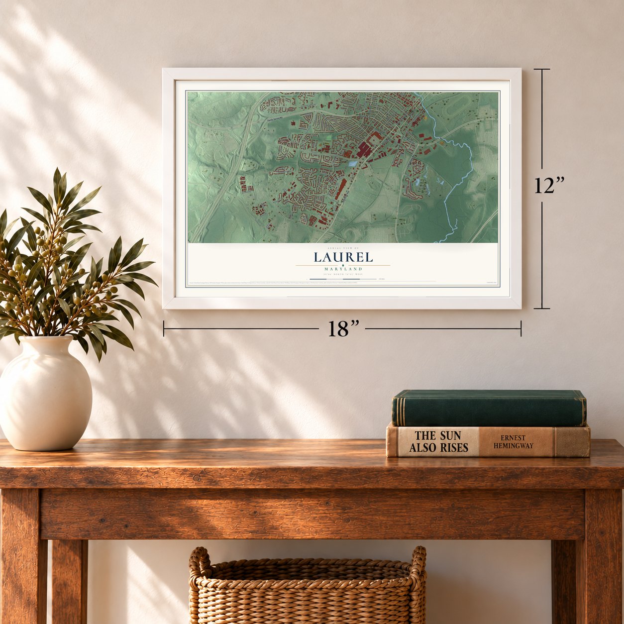

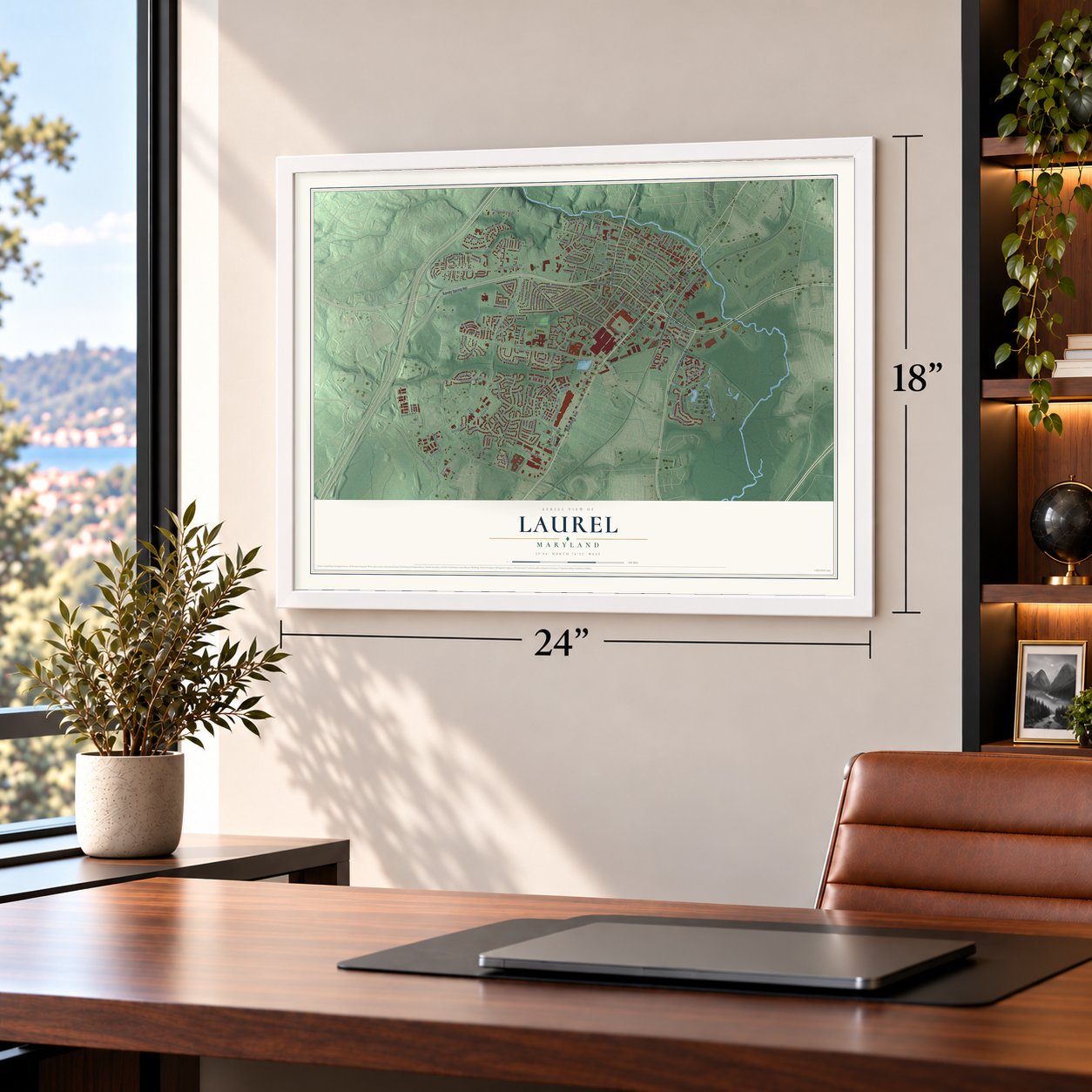


Free U.S. delivery 7 to 10 days after you order
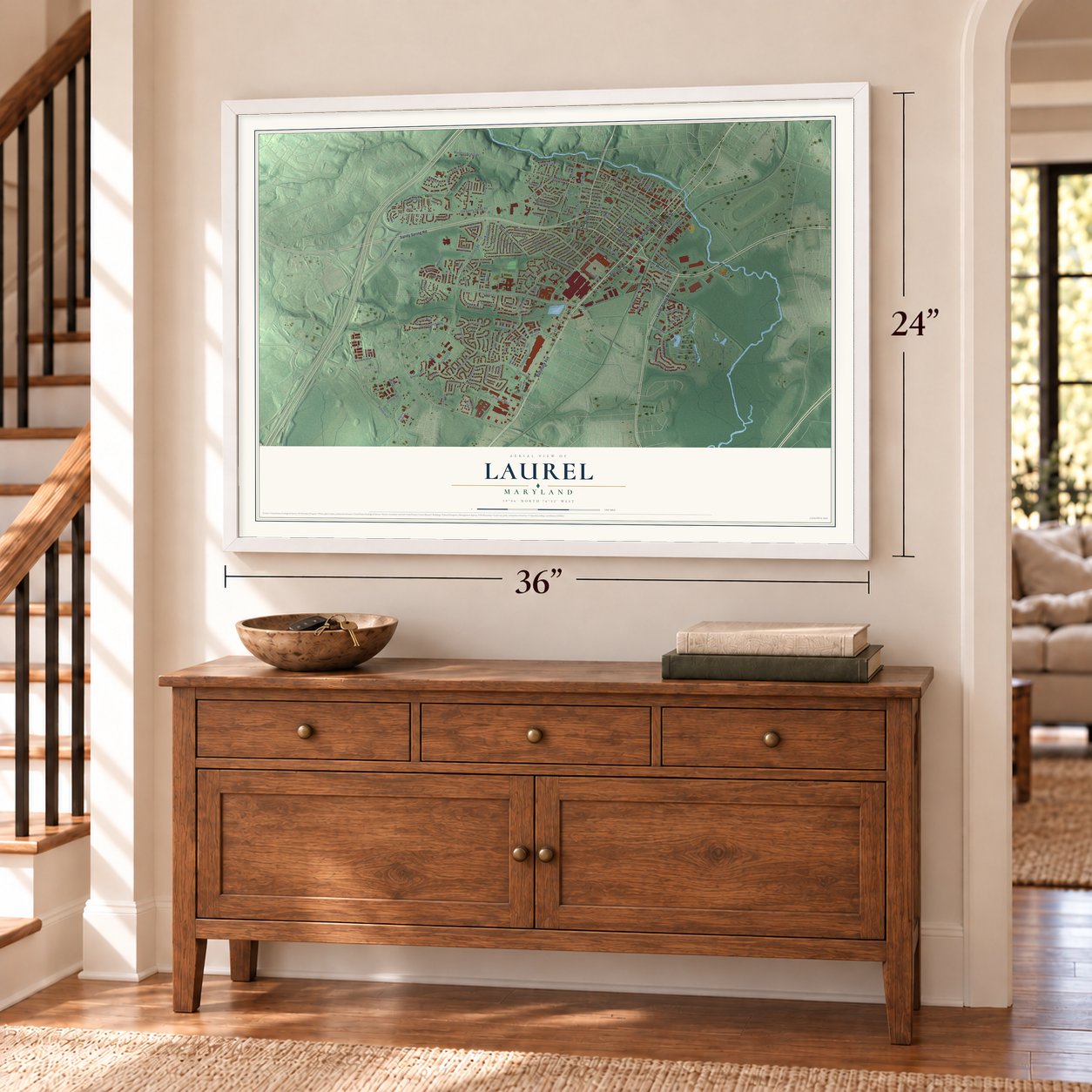
Laurel, Maryland Map Art
Building by building, with labeled streets and shaded relief.
12" x 18" Archival Matte Print
A Map of Home. A Work of Art.
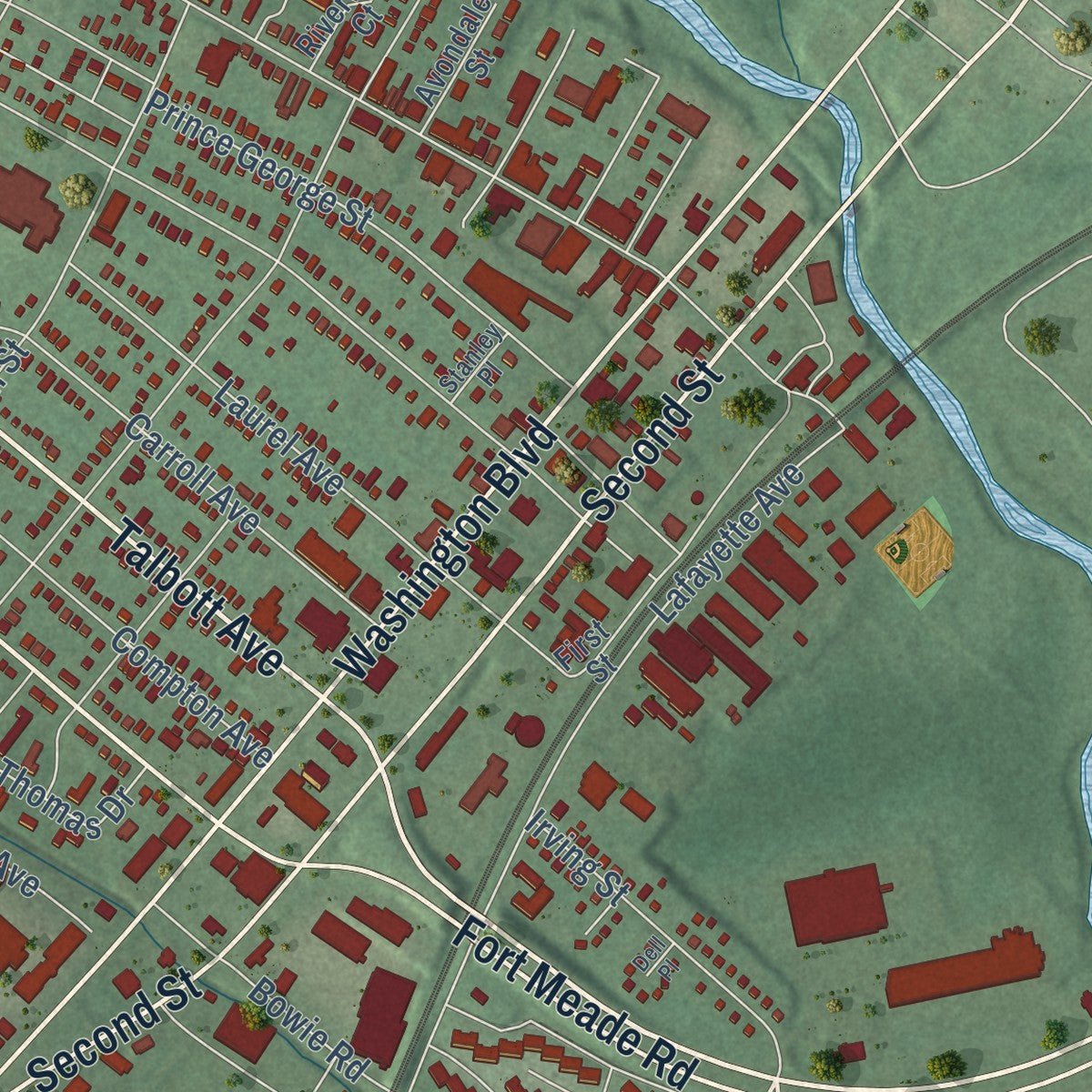
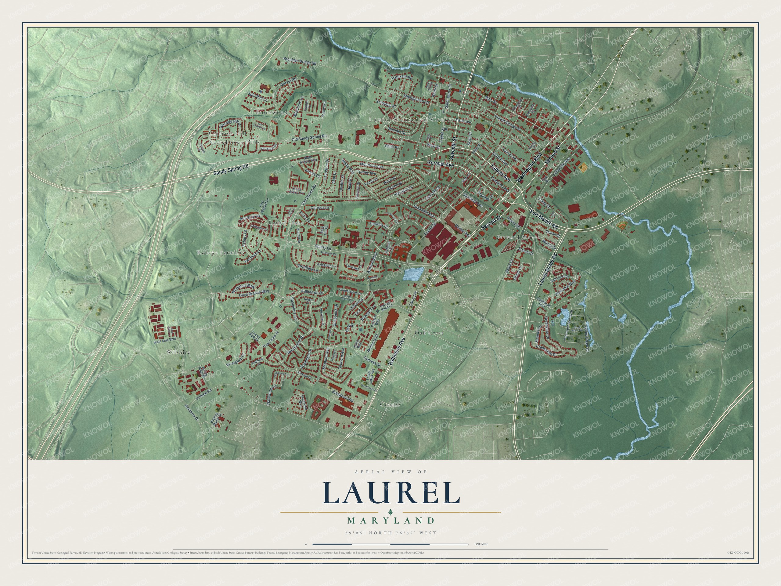
Explore Laurel, Maryland from a whole new perspective. Created using aerial imagery and detailed geographic data, this map captures Laurel building by building, with labeled streets, familiar landmarks, and shaded topographical relief that highlights the natural contours of the landscape.
Combining modern data with the timeless character of a vintage atlas, this map is just as interesting up close as it is beautiful on the wall. Whether you grew up in Laurel, spent memorable years there, or call it home today, this unique map is a great way to celebrate a place that means something to you. Zoom in on the preview to look for your street, and then order a print to put your memories on the wall.
Three ways to hang it
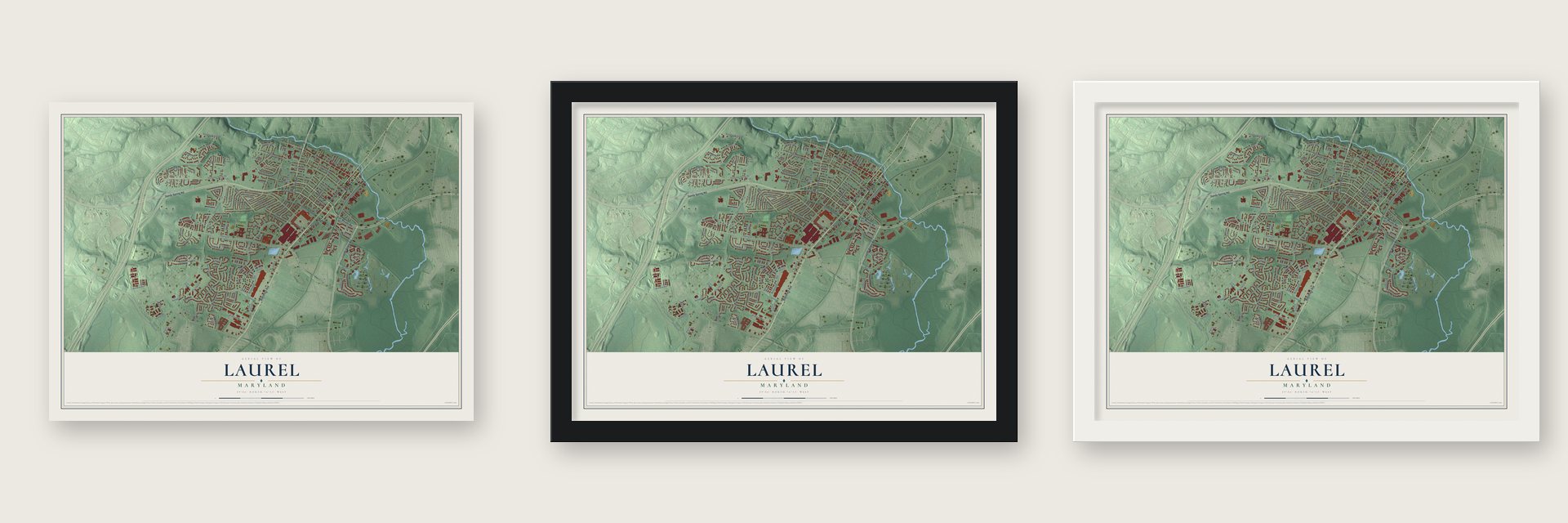
Unframed archival matte, a black wood frame or a white wood frame.
Up close
Geography Worth Displaying
This map was created using accurate cartographic data and authoritative geographic sources, including the U.S. Geological Survey and the Census Bureau. The map brings together terrain, waterways, roads, and building detail. The majority of the streets are labeled, houses are accurately depicted, and the topography is derived from government sources. Combining local data with carefully composed color and shading leads to this beautifully detailed Laurel artwork for your wall.
Rather than simply showing street outlines, we’ve included as many of the street names as we could reasonably fit on the map while keeping their names legible. Zoom in on the high resolution preview to see exactly what’s on the map. We truly set out to create a statement piece for anyone who loves Laurel. So whether it’s for you, or a gift for someone you love, we hope this map of Laurel brings back fond memories.
Read the story behind this map of Laurel, Maryland from 2026.
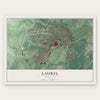
Find your street
Names on the Laurel map
Every name below is printed on this map. Look for your street, your school, the park where you played, or the pond down the road.
Places and landmarks10
- Laurel Municipal Center
- Carriage Hill
- Contee
- Laurel Oaks
- Oak Crest
- Robeys Farmlets
- Scotchtown Hills
- Steward Manor
- Stonewood
- Wilshire
Streets and roads145
- Fort Meade Road
- Talbott Avenue
- Gorman Avenue
- Washington Boulevard
- Second Street
- Sandy Spring Road
- Baltimore Avenue
- Laurel Bowie Road
- Seventh Street
- Cherry Lane
- Contee Road
- Shiloh Court
- Van Dusen Road
- Old Sandy Spring Road
- Fourth Street
- Montgomery Street
- Main Street
- Montrose Avenue
- Dorset Road
- Ashford Boulevard
- Fifth Street
- Eighth Street
- Westmeath Drive
- Carroll Avenue
- Laurel Avenue
- Ninth Street
- Greenview Drive
- Cypress Street
- Marton Street
- Lafayette Avenue
Show all 145 streets
- Prince George Street
- Mulberry Street
- Oxford Drive
- Park Avenue
- Tenth Street
- Bowie Road
- West Street
- White Way
- Olive Branch Way
- Compton Avenue
- Greenhill Avenue
- Konterra Drive
- Marshall Avenue
- Stratfield Lane
- Shannon Avenue
- Killbarron Drive
- Nichols Drive
- Sixth Street
- Irving Street
- Carriage Hill Drive
- Alan Drive
- Millbrook Lane
- Braygreen Road
- Lyons Creek Drive
- Brooklyn Bridge Road
- Harrison Drive
- Creekview Drive
- Downdale Drive
- Laurelton Drive
- Bowsprit Lane
- Rosemore Lane
- Clarkwood Lane
- Vista Drive
- Ward Street
- Parkview Way
- Farnham Lane
- Morris Drive
- Thomas Drive
- Patuxent Road
- Concord Avenue
- Twelfth Street
- Oakpointe Drive
- Philip Court
- Waterloo Walk
- Exbury Lane
- Riverbirch Court
- Saint Marys Place
- Turney Avenue
- Split Rail Lane
- Beall Place
- Arbory Court
- Carissa Lane
- Domer Avenue
- Summit Lane
- Fenwick Court
- Archsine Lane
- Snowden Place
- Laurel Place
- Erica Lane
- Elaine Court
- Phair Place
- Kay Court
- Belle Ami Drive
- Patunxent Greens Drive
- First Baptist Lane
- Harvest Bend Lane
- West Side Boulevard
- Eleventh Street
- Virginia Manor Court
- Haines Court
- Kalmia Drive
- First Street
- Clubhouse Boulevard
- Spring Arbor Drive
- Aylesford Lane
- South Arbory Lane
- Scotch Drive
- Haynes Road
- Laurel Park Drive
- Chapel Cove Drive
- Ashford Place
- Vanderbilt Way
- Laurel Lakes Avenue
- Golf Crest Drive
- Park Center Drive
- North Arbory Way
- Sharon Court
- Berryleaf Drive
- Crescent Place
- Yardarm Way
- Wicklow Lane
- Riverview Court
- Kirklee Court
- Avondale Street
- Jib Street
- Justin Way
- Caledon Court
- Down Court
- Cambridge Circle
- Park Hill Road
- Aylesford Circle
- Saratoga Avenue
- South Shore Drive
- Clays Lane
- Stanley Place
- Laurel Oaks Lane
- Lord Snowden Drive
- Chadsworth Terrace
- Laurel Lakes Court
- Green Branch Road
- Londonderry Court
- Chestnut Court
- Sandy Ridge Lane
- Northlake Court
- Dell Place
Names are listed as they appear on the printed map. Zoom into the product photos to find them.
About Laurel, Maryland
Laurel is a city of 30,060 people in Prince George's County, on the Patuxent River between Washington and Baltimore. In 1658 the Snowden family took out a patent on this land at the river's fall line, as part of New Birmingham, a plantation of 12,250 acres. Nicholas Snowden put up a grist mill here around 1811, and by the 1820s it had grown into a small cotton mill.
Snowden died in 1831, and in 1834 the mill went to Louisa Snowden and her husband, Horace Capron. In 1835 the rail line from Baltimore to Washington opened, and Capron and his partners chartered the Patuxent Manufacturing Company. The village was called Laurel Factory, for its laurel trees, when Edward Snowden became its first postmaster in 1837. The company built homes for nearly 300 workers and added the Avondale Mill in 1844. Laurel was incorporated in 1870, and as the century went on, many residents rode the train to jobs in Washington or Baltimore.
- The county's first high schoolEdward Phelps, mayor for seven terms, proposed a high school in 1897. He took the money risks on himself to get past several funding problems, and in 1899 Laurel opened the first high school in Prince George's County. The $5,000 building, now the Phelps Community Center, still stands at Montgomery and Eighth streets and joined the National Register in 1979.
- Two fires in two yearsThe losses led Laurel to seek water service and fire equipment. On December 14, 1899, another fire took twelve buildings, including the Presbyterian church.
- Laurel Park since 1911Laurel Park, a thoroughbred track, opened in 1911 and still runs, and the book Seabiscuit names it as an important racing venue. In 1925 Jack Prince built a wooden auto track of 1.125 miles on the Avondale property, with turns banked at 48 degrees. Crowds reached 30,000, but ticket money never covered its $400,000 cost, and the speedway went into receivership in 1926.
- A rally on May 15, 1972Alabama Governor George Wallace was campaigning for the Democratic presidential nomination at a rally in the Laurel Shopping Center parking lot on May 15, 1972. Arthur Bremer, an out-of-work janitor, shot him there, and Wallace was left paralyzed.
Keep exploring Maryland
Laurel is one of 874 Maryland towns we've mapped. Every dot on the map is a print of its own.
The search covers every state, Maryland first.
Near Laurel
Order 2 or more town maps and save 10%. Shown in the size and finish you picked above, so they hang as a set.
- West Laurel 12" x 18" / Archival Matte Print $39.99
- Konterra 12" x 18" / Archival Matte Print $39.99
- South Laurel 12" x 18" / Archival Matte Print $39.99
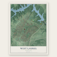

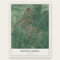
More maps nearby: North Laurel, Maryland City, Scaggsville, Savage and Burtonsville.
The art of mapping a place
How This Map Was Made
Real places. Remarkable detail. Discover the layers that turn geographic data into a map of home.

The view from above
Aerial imagery reveals the character of the land: woodland, open fields, and the patterns of a place.

The shape of the land
Elevation data brings hills, valleys, and subtle changes in the landscape into view.

The details of home
Roads, waterways, and building footprints come together to make the map feel unmistakably local.

Geography becomes art
Considered color, shading, and typography bring the layers together in a map made for your wall.


Process illustrated with Mendon, Massachusetts. Aerial imagery: USDA NAIP. Terrain: USGS 3D Elevation Program. Map details and finished artwork: KNOWOL.
The Details
About This Print
Choose an archival matte print, or a black or white Ayous wood frame. The archival matte print is unframed.
Select your size and finish above to see the matching product image and price.
Materials & Craftsmanship
A contemporary map with the character of a classic atlas, printed on archival matte paper. Optional frames are made from Ayous wood.
Your printed map does not include the watermark shown in the full-map preview.
Shipping & Delivery
Free shipping within the United States. Every print is made to order in the USA.
Buying a gift? Add a note in your cart and we'll include it. We never put prices in the package.
Prints ship within 2 to 3 business days. Allow 7 to 10 days total from ordering for delivery. Timing may vary during holidays or periods of high order volume.
Read our shipping policy.
Returns and damaged prints
Each print is made to order. Change-of-mind refunds are not available after production.
If your print arrives damaged, misprinted or incorrect, contact support@knowol.com within 30 days of receiving it. Include your order number, photos and a description of the issue.
Read our full refund and replacement policy. For questions about your order, email support@knowol.com.