
Search for another town




Free U.S. delivery 7 to 10 days after you order
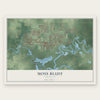
Moss Bluff, Louisiana Map Art
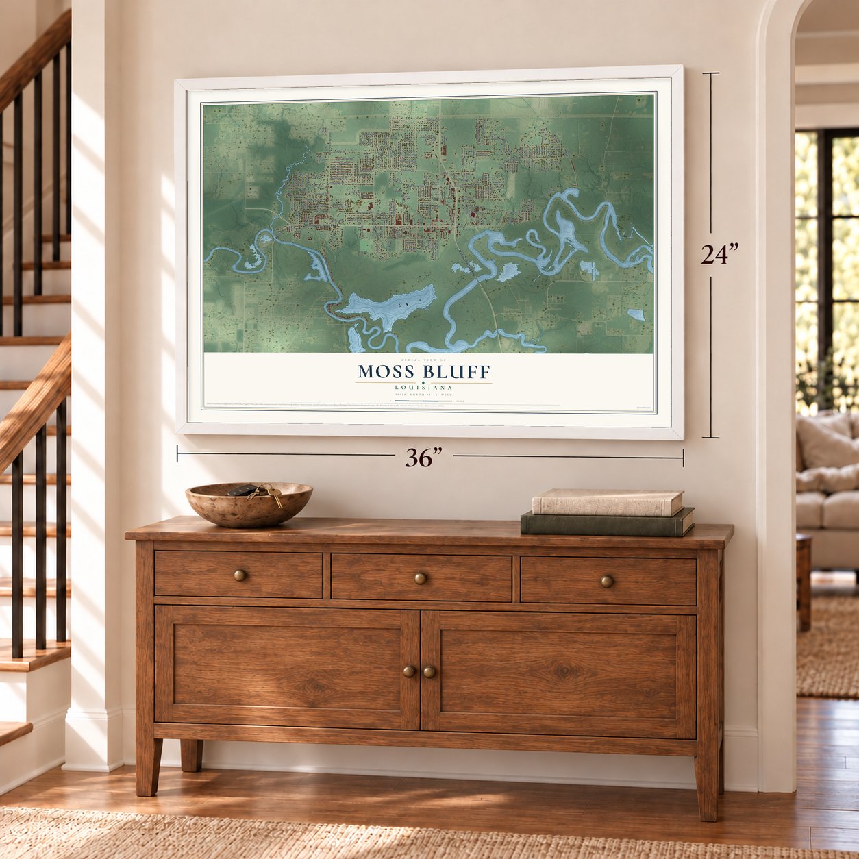
A new map of Moss Bluff, Louisiana, made in 2026 and printed to order on thick archival matte paper.
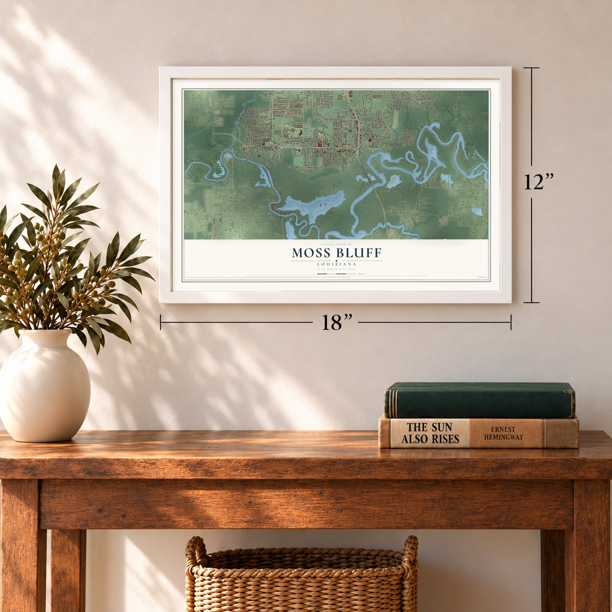
12" x 18" Archival Matte Print
A Map of Home. A Work of Art.
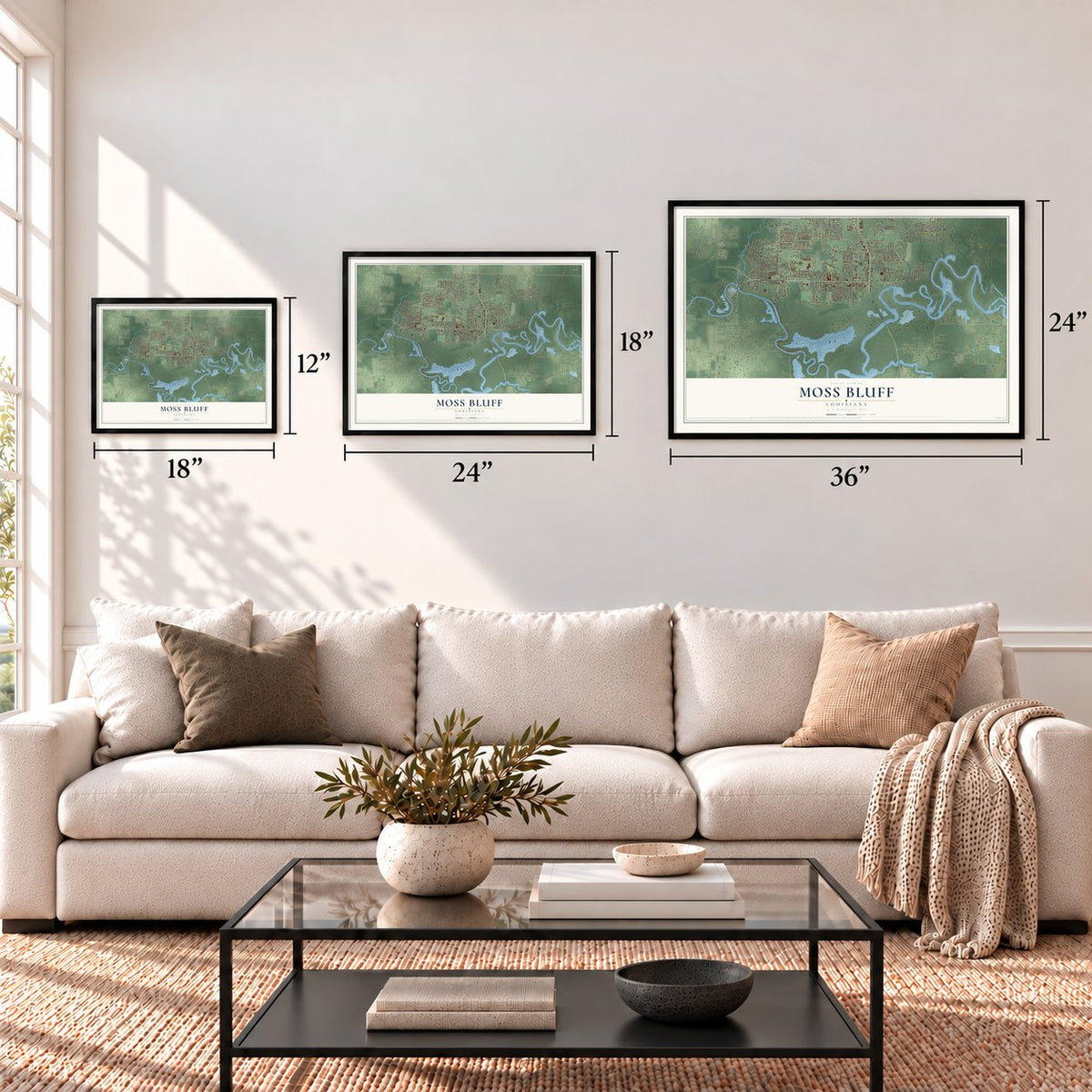
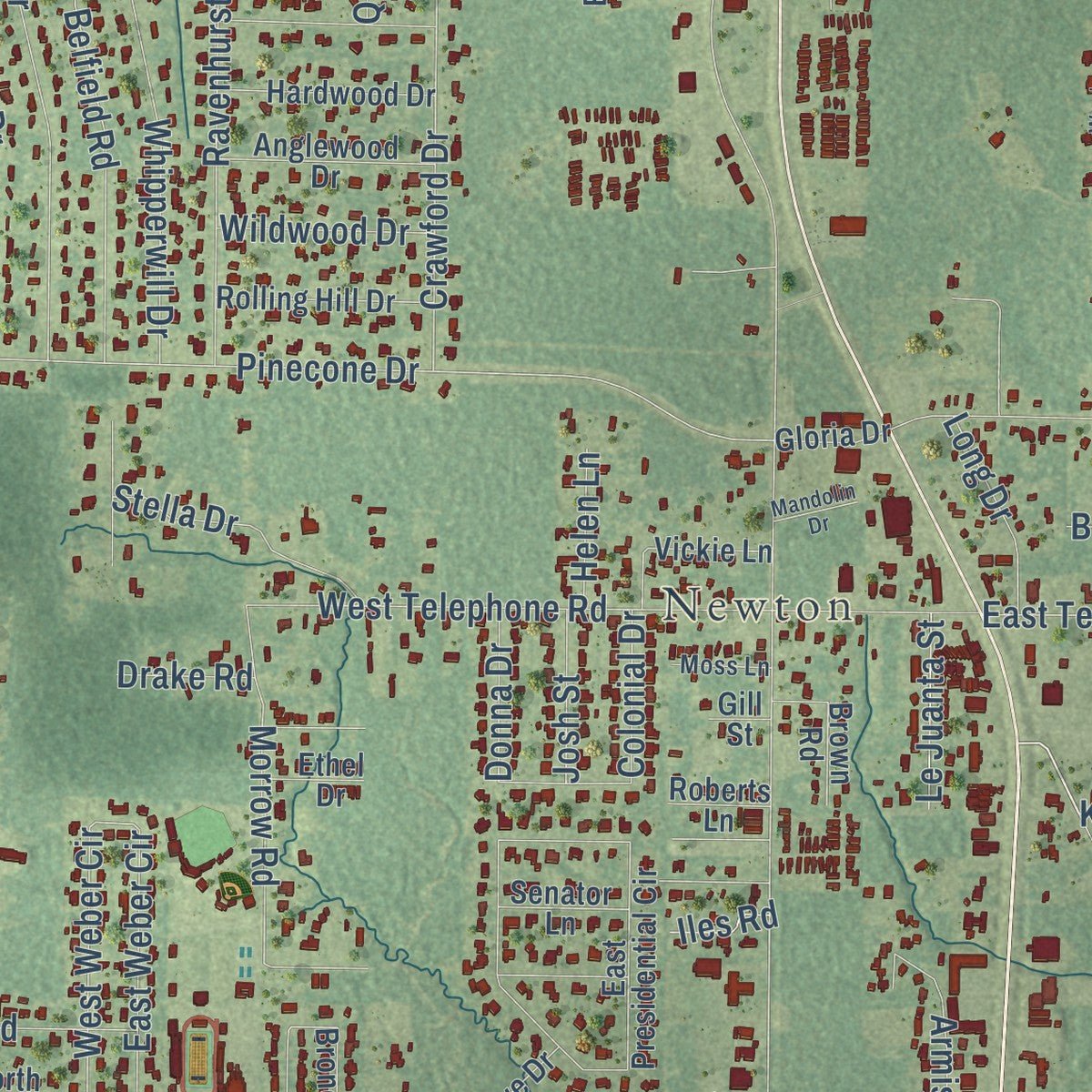
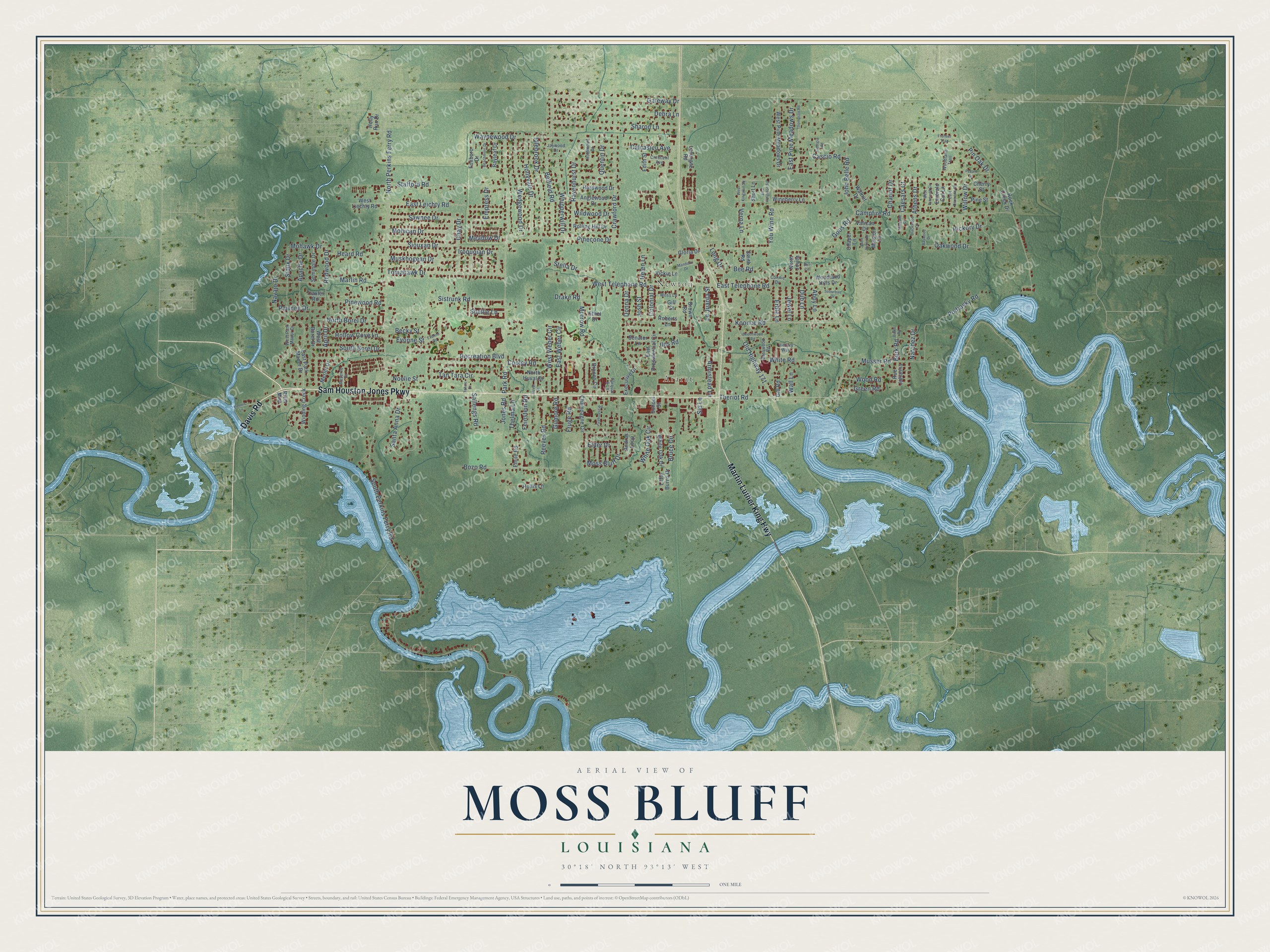
Explore Moss Bluff, Louisiana from a whole new perspective. Created using aerial imagery and detailed geographic data, this map captures Moss Bluff building by building, with labeled streets, familiar landmarks, and shaded topographical relief that highlights the natural contours of the landscape.
Combining modern data with the timeless character of a vintage atlas, this map is just as interesting up close as it is beautiful on the wall. Whether you grew up in Moss Bluff, spent memorable years there, or call it home today, this unique map is a great way to celebrate a place that means something to you. Zoom in on the preview to look for your street, and then order a print to put your memories on the wall.
Three ways to hang it
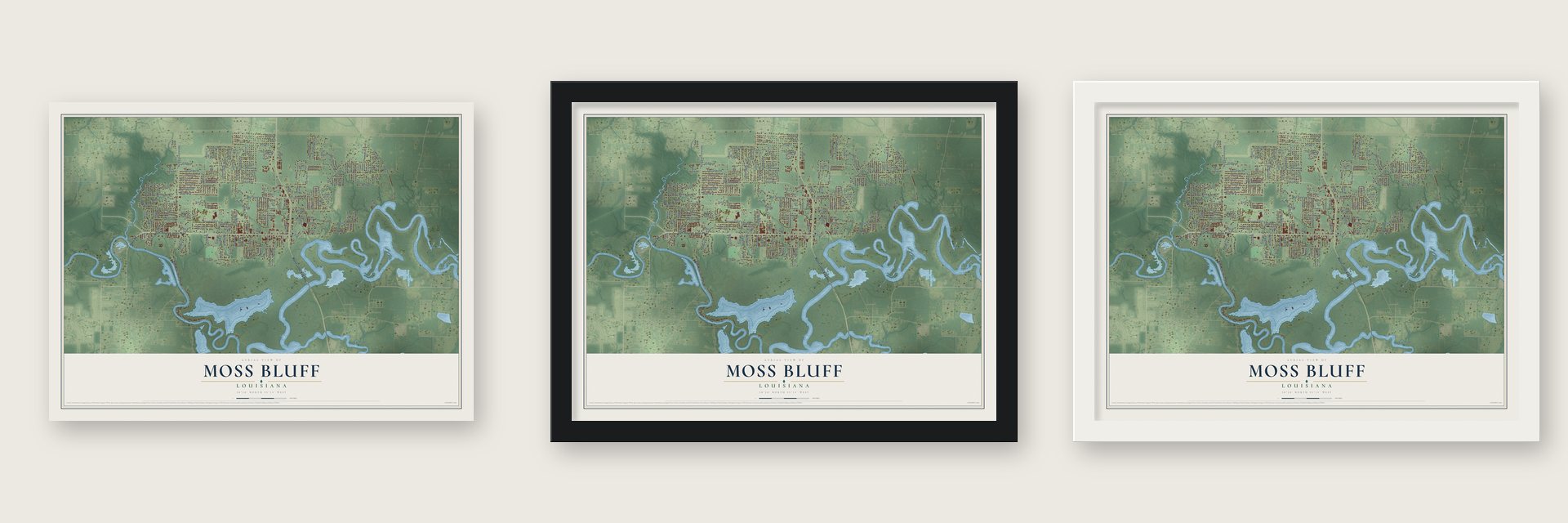
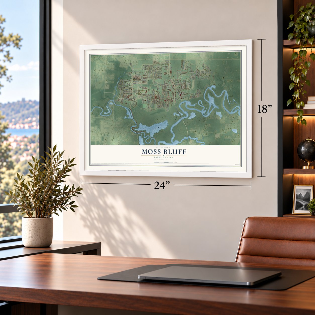
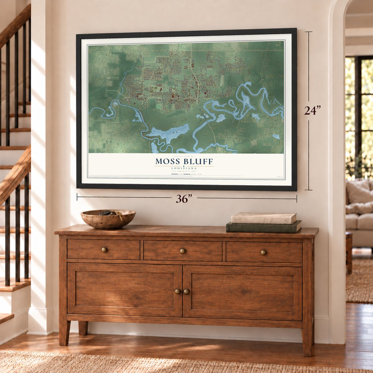
Unframed archival matte, a black wood frame or a white wood frame.
Up close
Geography Worth Displaying
This map was created using accurate cartographic data and authoritative geographic sources, including the U.S. Geological Survey and the Census Bureau. The map brings together terrain, waterways, roads, and building detail. The majority of the streets are labeled, houses are accurately depicted, and the topography is derived from government sources. Combining local data with carefully composed color and shading leads to this beautifully detailed Moss Bluff artwork for your wall.
Rather than simply showing street outlines, we’ve included as many of the street names as we could reasonably fit on the map while keeping their names legible. Zoom in on the high resolution preview to see exactly what’s on the map. We truly set out to create a statement piece for anyone who loves Moss Bluff. So whether it’s for you, or a gift for someone you love, we hope this map of Moss Bluff brings back fond memories.
Read the story behind this map of Moss Bluff, Louisiana from 2026.
About Moss Bluff, Louisiana
From the KPLC: "Early settlers of Moss Bluff did not have the luxury of a school and had to send their children to schools in Lake Charles and Gillis. The commute often consisted of about two hours on horse-drawn buggies and ferries."
Find your street
Names on the Moss Bluff map
Every name below is printed on this map. Look for your street, your school, the park where you played, or the pond down the road.
Places and landmarks2
- Newton
- Ararat
Streets and roads196
- Sam Houston Jones Parkway
- Davis Road
- Martin Luther King Highway
- Theriot Road
- Koonce Road
- Goos Road
- Burk Road
- Campfire Road
- Pinecone Drive
- Mohawk Drive
- South Perkins Ferry Road
- North Perkins Ferry Road
- Park Road
- You Winn Road
- Belfield Road
- Crawford Drive
- Santa Anna Drive
- Tan Tara Circle
- Sistrunk Road
- Old Highway 171
- Sharon Lane
- Debra Lane
- Gateway Drive
- Stafford Road
- Tomahawk Drive
- East Telephone Road
- Bruce Circle
- Bozo Road
- White Road
- Ravenhurst Drive
Show all 196 streets
- Idlebrook Drive
- Hollyvale Drive
- Wedgewood Drive
- Podrasky Road
- West Telephone Road
- Waynewood Drive
- Musser Road
- Whipperwill Drive
- Pin Oak Drive
- Moss Bluff Drive
- Morrow Road
- East Pine Meadows Drive
- East Leichty Road
- Reeves Road
- North Borel Drive
- Siouxan Drive
- Mohican Drive
- Sawnee Drive
- Muskhogean Drive
- West Weber Circle
- South Borel Drive
- East Weber Circle
- Sid Lane
- Willow Drive
- Oakwood Drive
- Redwood Drive
- Iroquoian Drive
- Sioux Drive
- Apache Drive
- Heard Road
- Marlin Road
- Pinewood Road
- Armistead Lane
- Calcasieu Avenue
- John Belle Road
- Chay Drive
- Stella Drive
- Cooley Road
- Pawnee Drive
- Hollow Cove Lane
- Navajo Drive
- Cascio Road
- Hickory Drive
- Verna Lane
- Sallengs Road
- White Oak Circle
- Recreation Boulevard
- Green Road
- Quentin Drive
- Wildwood Drive
- Long Drive
- Noelie Street
- Wood Road
- Becky Street
- Evonne Street
- Meadow Drive
- Fruge Road
- Gilmore Road
- Thelma Lane
- Le Juanta Street
- Jones Road
- Feinstein Road
- Shellie Lane
- Chariot Drive
- Caesars Court
- Athens Drive
- Empress Drive
- Abby Lane
- Natchez Drive
- Jewel Lane
- Dub Lane
- Josh Street
- Donna Drive
- Colonial Drive
- Erble Lane
- Elder Drive
- Helen Lane
- Wall Lane
- April Drive
- Drake Road
- Bee Road
- Iles Road
- East Park Manor Drive
- West Pine Meadows Drive
- Champagne Circle
- Bronco Circle
- Woodland Hills Drive
- Rock Creek Drive
- White Oak Drive
- East Presidential Circle
- Anglewood Drive
- Rolling Hill Drive
- Hardwood Drive
- Hollis Lane
- West Liechty Road
- Winding Creek
- Seminole Drive
- Lavergne Road
- Edith Street
- Vickie Lane
- Wineberry Lane
- School Street
- Executive Drive
- Merlot Drive
- Vatican Drive
- Foxboro Drive
- Bayleaf Drive
- Emerald Cut Lane
- Andrus Loop
- Brown Road
- West Borel Drive
- North Huval Drive
- Walnut Drive
- North Jovita
- Little Burns Drive
- Senator Lane
- Cherry Street
- Chapel Lane
- Pine Street
- Rue Julianna
- Emile Road
- Mission Lane
- Gloria Drive
- Short Lane
- Smith Road
- Roberts Lane
- Ethel Drive
- Traxler Road
- Holly Run Drive
- Gill Road
- River Mist
- Gill Street
- West Park Manor Drive
- Woodland Trail
- Crescent Avenue
- Rothwood Drive
- Basswood Road
- Reserve Drive
- Jaywood Drive
- Moss Lane
- Farquar 6 Lane
- Victory Way
- Connie Drive
- West Kingston Square
- East Diamond Circle
- Thompson Road
- Firehouse Road
- Dennis Lane
- Burke Road
- Georgia Road
- Beachmont Drive
- Tahoe Drive
- Baywood Drive
- Saint James Drive
- Pecan Drive
- West Diamond Circle
- Beechwood Road
- Blackwood Court
- East Kingston Square
- Suburban Drive
- Frontier Trail
- Huval Drive
- Evonne Road
- Kincade Court
- Mandolin Drive
- Bell Circle
Names are listed as they appear on the printed map. Zoom into the product photos to find them.
The art of mapping a place
How This Map Was Made
Real places. Remarkable detail. Discover the layers that turn geographic data into a map of home.

The view from above
Aerial imagery reveals the character of the land: woodland, open fields, and the patterns of a place.

The shape of the land
Elevation data brings hills, valleys, and subtle changes in the landscape into view.

The details of home
Roads, waterways, and building footprints come together to make the map feel unmistakably local.

Geography becomes art
Considered color, shading, and typography bring the layers together in a map made for your wall.


Process illustrated with Mendon, Massachusetts. Aerial imagery: USDA NAIP. Terrain: USGS 3D Elevation Program. Map details and finished artwork: KNOWOL.
The Details
About This Print
Choose an archival matte print, or a black or white Ayous wood frame. The archival matte print is unframed.
Select your size and finish above to see the matching product image and price.
Materials & Craftsmanship
A contemporary map with the character of a classic atlas, printed on archival matte paper. Optional frames are made from Ayous wood.
Your printed map does not include the watermark shown in the full-map preview.
Shipping & Delivery
Free shipping within the United States. Every print is made to order in the USA.
Buying a gift? Add a note in your cart and we'll include it. We never put prices in the package.
Prints ship within 2 to 3 business days. Allow 7 to 10 days total from ordering for delivery. Timing may vary during holidays or periods of high order volume.
Read our shipping policy.
Returns and damaged prints
Each print is made to order. Change-of-mind refunds are not available after production.
If your print arrives damaged, misprinted or incorrect, contact support@knowol.com within 30 days of receiving it. Include your order number, photos and a description of the issue.
Read our full refund and replacement policy. For questions about your order, email support@knowol.com.
Find your town
Looking for another city?
Find a map of home in our Louisiana collection, or any town in the country.
Nearby
Maps of towns near Moss Bluff
Know someone from one of these towns? Their map makes a great gift.
 Westlake
, Louisiana
From $39.99See the map
 Gillis
, Louisiana
From $39.99See the map
 Lake Charles
, Louisiana
From $39.99See the map
More maps nearby: Sulphur, Prien, Iowa, Carlyss and DeQuincy.