
Search for another town



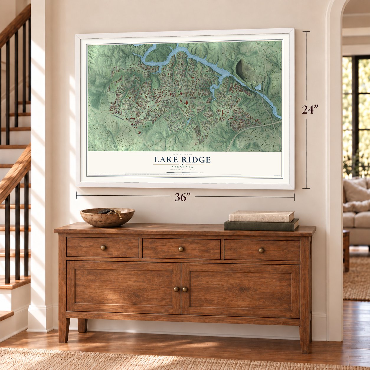

Free U.S. delivery 7 to 10 days after you order
Lake Ridge, Virginia Map Art
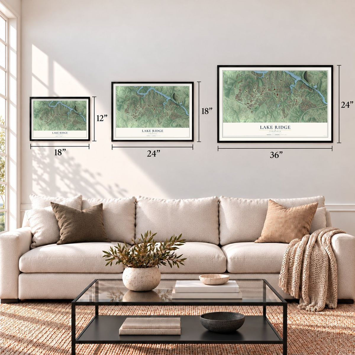
A new map of Lake Ridge, Virginia, made in 2026 and printed to order on thick archival matte paper.
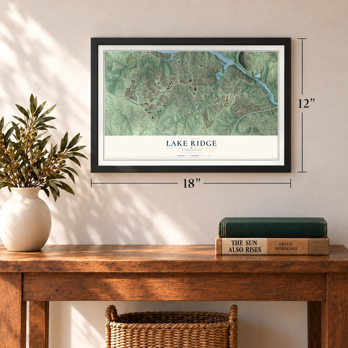
12" x 18" Archival Matte Print
A Map of Home. A Work of Art.
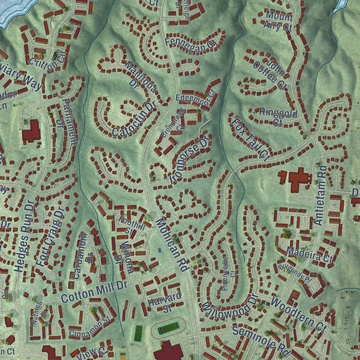
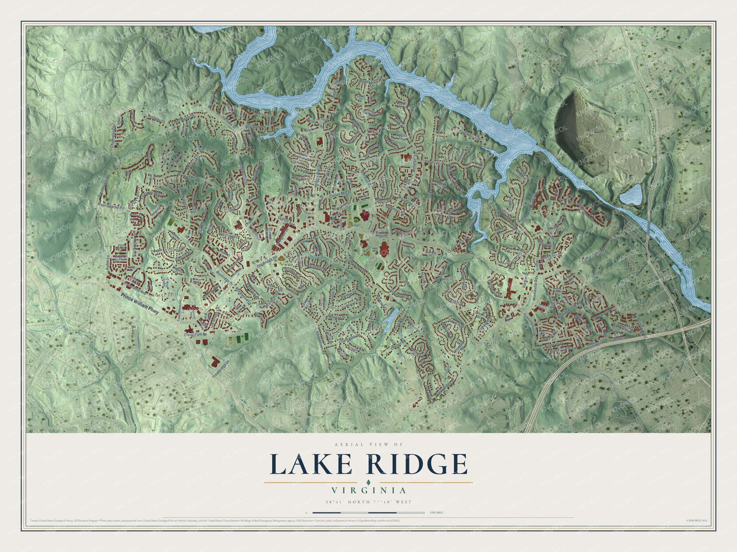
Explore Lake Ridge, Virginia from a whole new perspective. Created using aerial imagery and detailed geographic data, this map captures Lake Ridge building by building, with labeled streets, familiar landmarks, and shaded topographical relief that highlights the natural contours of the landscape.
Combining modern data with the timeless character of a vintage atlas, this map is just as interesting up close as it is beautiful on the wall. Whether you grew up in Lake Ridge, spent memorable years there, or call it home today, this unique map is a great way to celebrate a place that means something to you. Zoom in on the preview to look for your street, and then order a print to put your memories on the wall.
Three ways to hang it
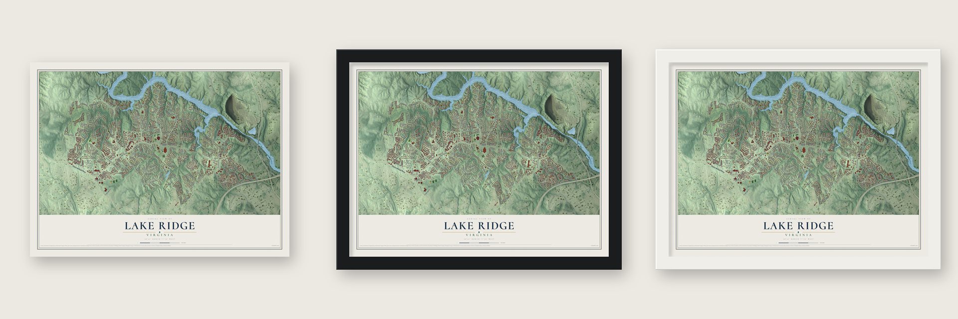
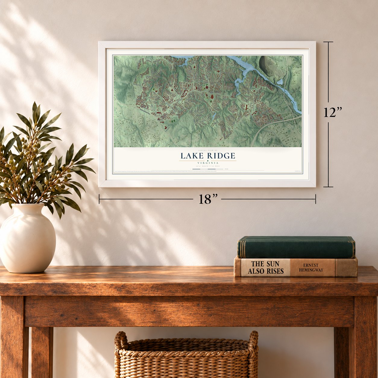
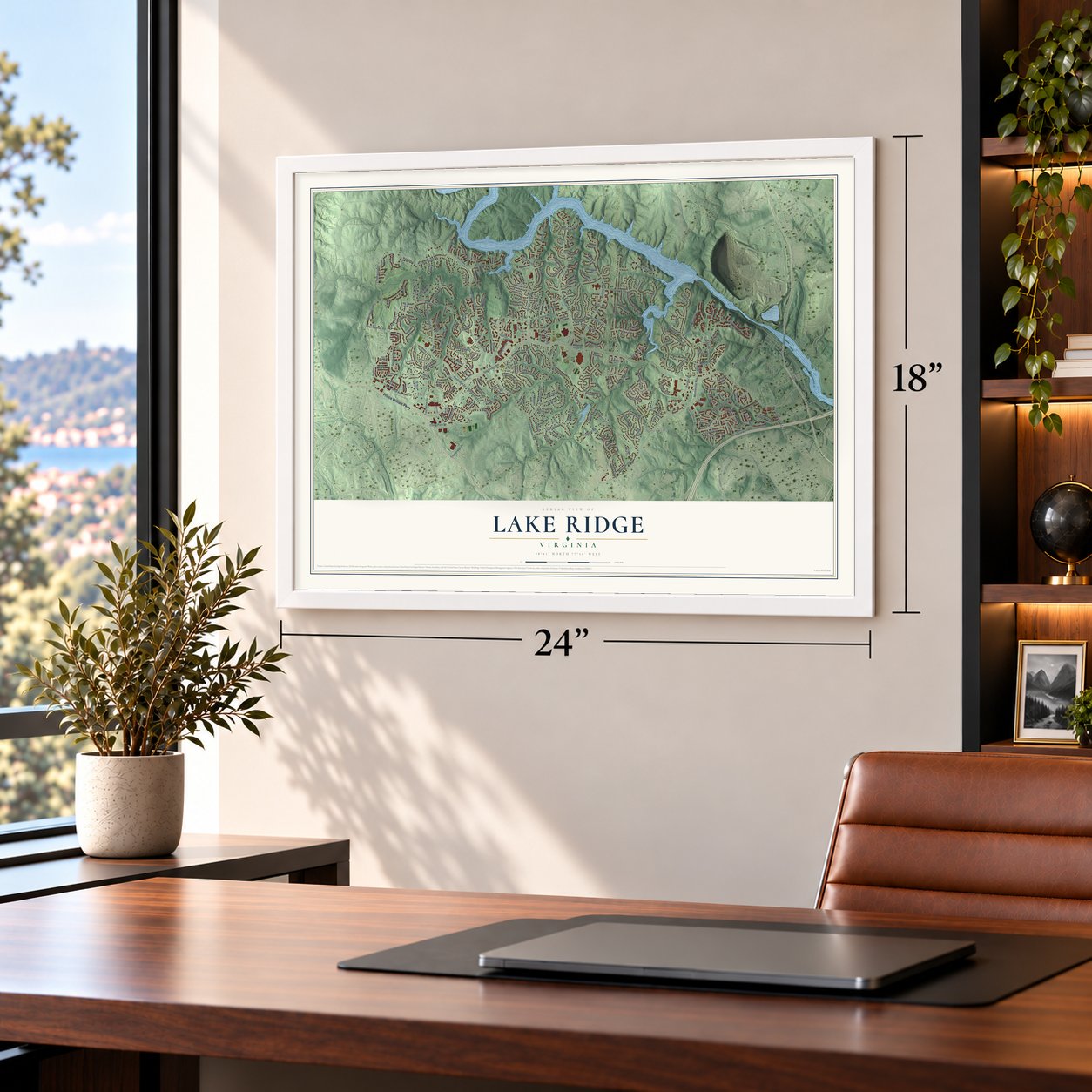
Unframed archival matte, a black wood frame or a white wood frame.
Up close
Geography Worth Displaying
This map was created using accurate cartographic data and authoritative geographic sources, including the U.S. Geological Survey and the Census Bureau. The map brings together terrain, waterways, roads, and building detail. The majority of the streets are labeled, houses are accurately depicted, and the topography is derived from government sources. Combining local data with carefully composed color and shading leads to this beautifully detailed Lake Ridge artwork for your wall.
Rather than simply showing street outlines, we’ve included as many of the street names as we could reasonably fit on the map while keeping their names legible. Zoom in on the high resolution preview to see exactly what’s on the map. We truly set out to create a statement piece for anyone who loves Lake Ridge. So whether it’s for you, or a gift for someone you love, we hope this map of Lake Ridge brings back fond memories.
Read the story behind this map of Lake Ridge, Virginia from 2026.

About Lake Ridge, Virginia
Lake Ridge is a planned community of 46,162 people in Prince William County, next to Woodbridge. In the late 1960s Sorensen Construction Corporation started building homes in the part now called East Lake Ridge. By 1969 work was underway on the first five developments: The Hamlet, The Point, Thousand Oaks, Plantation Harbor and The Village of Lake Ridge.
Lake Ridge Parks and Recreation was set up in 1972 as the homeowners association, and most of the houses went up after that year. Growth stayed fast for two decades, with about 3,350 homes standing in 1983 and roughly 6,600 by 1990. The community was finished in the late 1990s, when Ridgeleigh was completed. Today its over 70 subdivisions and nine condominium complexes hold about 7,700 housing units.
- A planned community from 1969The Lake Ridge Association credits Ridge Development Corporation and the late Kenneth Thompson with turning a remote cluster of homes into the planned community, starting in 1969.
- Home of an OSS agentElizabeth Peet McIntosh, who served as an agent of the Office of Strategic Services during World War II, is one of the people Lake Ridge counts as its own.
- A yard sale every fallEach fall the community holds a yard sale and festival.
Find your street
Names on the Lake Ridge map
Every name below is printed on this map. Look for your street, your school, the park where you played, or the pond down the road.
Places and landmarks4
- Laurel Hills
- Chinn Park
- Agnewville
- The Heights
Streets and roads240
- Prince William Parkway
- Minnieville Road
- Rolling Brook Road
- Abner Avenue
- Tanyard Hill Road
- Old Bridge Road
- Springwoods Drive
- Mohican Road
- Smoketown Road
- Cotton Mill Drive
- Oakwood Drive
- Hedges Run Drive
- Colby Drive
- Harbor Drive
- Antietam Road
- Clipper Drive
- Chanceford Drive
- Valleywood Drive
- Knightsbridge Drive
- Marquis Place
- Old Bridge Lane
- Cavalier Drive
- Westridge Drive
- Omisol Road
- Seminole Road
- Mays Quarter Road
- Beaver Pond Road
- Woodfern Court
- Orleans Street
- Deepford Drive
Show all 240 streets
- Willowood Drive
- Manchester Way
- Paxton Street
- Darden Drive
- Cathedral Drive
- Chancellor Drive
- Tideswell Mill Court
- Crest Maple Drive
- Mayflower Drive
- Oak Farm Drive
- Bracknell Drive
- Cricket Lane
- Berwick Place
- Southington Drive
- William and Mary Circle
- Faversham Way
- Tree House Drive
- Daisy Reid Avenue
- Darnley Road
- Ironhorse Drive
- Dulcinea Place
- Greatbridge Road
- Kinnicutt Drive
- Greenhall Drive
- Griffith Avenue
- Appaloosa Drive
- Pintail Road
- Forrest Hill Road
- Noble Fir Court
- Cornice Place
- Arabian Place
- Asdee Lane
- Valleyhill Street
- Woods Cove Lane
- Cohasset Lane
- Flint Hill Place
- Hartlake Street
- Purdham Drive
- Maple Ridge Drive
- Gorham Way
- Tilney Court
- Triad Court
- Troika Court
- Catoctin Drive
- Occoquan Road
- Brooke Farm Court
- Lakewood Drive
- Aviary Way
- Derriford Court
- Rivanna Court
- Wainscott Place
- Hickory Falls Court
- Nellings Place
- Rockwood Lane
- Chinn Park Drive
- Tory Loop
- Shadwell Court
- Cambridge Drive
- Chelson Lane
- Grady Court
- Falcon Drive
- Trowbridge Drive
- Aegean Terrace
- Yardarm Place
- Mojave Lane
- Torrington Street
- Fort Craig Drive
- Bombay Way
- Spinnaker Court
- Beechnut Court
- Bertram Street
- Westport Lane
- Wensley Court
- Misty Lane
- Leith Court
- Michie Court
- McIntire Drive
- Devil Lane
- Pilgrim Drive
- Fox Tail Court
- Ogilvie Court
- Touchstone Circle
- Devils Reach Road
- Sturbridge Road
- Stone Lined Circle
- Mount Burnside Way
- Sugar Hill Drive
- Ripple Creek Court
- Dapple Gray Court
- Mariner Drive
- Summit School Road
- Laurel Hills Drive
- Penshurst Lane
- Weejun Loop
- Veronica Lane
- Cardamom Drive
- Choctaw Ridge Court
- Dillingham Square
- Castile Court
- Fort Lyon Drive
- Cressida Place
- Chaucer Lane
- Ridge View Court
- Critton Circle
- Parliament Drive
- Manitoba Drive
- Holly View Drive
- Luca Station Way
- Madeira Court
- Granada Way
- Merganser Lane
- Silvia Loop
- Wimbley Lane
- Winona Drive
- Amesbury Street
- Charter Court
- Condor Lane
- Park Shore Court
- Lolly Post Lane
- Fennegan Court
- Holly Leaf Court
- McIntire Court
- Sulky Court
- Crabapple Court
- Drexel Street
- Riverboat Drive
- Mulberry Court
- John Coffee Court
- Tuscany Court
- Armada Place
- Everest Peak Lane
- Harvard Street
- Tolson Place
- Cave Court
- Newbold Court
- Pyxie Way
- Forest Hill Road
- Beaver Ford Road
- Ringgold Court
- Titania Way
- Presidio Way
- All Saints Place
- Trevor Lane
- Eliff Way
- Huntley Court
- Brittany Court
- Eden Lane
- Mount Airy Court
- Galley Court
- Briton Court
- Lake Ridge Drive
- Lockleven Lane
- Hunterbrook Drive
- Midsummer Lane
- Caledonia Circle
- Cinnamon Street
- Catawba Drive
- Inglebrook Drive
- Davis Fairfax Lane
- Foothill Street
- Governors Court
- Montpelier Court
- Commission Court
- Eddystone Court
- Bedford Cove Lane
- Chambord Lane
- Redwood Court
- Robey Way
- Effie Rose Place
- Edgemoor Court
- Lyon Park Court
- Summer Ridge Court
- Captains Court
- White Birch Court
- Cassandra Court
- Nates Place
- Clarke Farm Place
- Cedar Crest Court
- Monarch Court
- Emmet Court
- Seaford Court
- Paddle Boat Lane
- Stirrup Court
- Batley Place
- Jody Court
- Ellery Court
- Helm Court
- Merchant Plaza
- Stallion Court
- Wood Hollow Drive
- Tumbling Brook Lane
- Carolyn Forest Drive
- Grady Lane
- Golf Side Circle
- Windjammer Drive
- Sunny Brook Court
- Overleigh Drive
- Pineneedle Court
- Burgundy Place
- Tacketts Village Square
- Crommwell Court
- Trotter Court
- Soffit Place
- Shenandoah Court
- Wheel Cog Place
- Nutmeg Court
- Mauti Court
- Marline Court
- Mosser Mill Court
- Wisley Turn
Names are listed as they appear on the printed map. Zoom into the product photos to find them.
The art of mapping a place
How This Map Was Made
Real places. Remarkable detail. Discover the layers that turn geographic data into a map of home.

The view from above
Aerial imagery reveals the character of the land: woodland, open fields, and the patterns of a place.

The shape of the land
Elevation data brings hills, valleys, and subtle changes in the landscape into view.

The details of home
Roads, waterways, and building footprints come together to make the map feel unmistakably local.

Geography becomes art
Considered color, shading, and typography bring the layers together in a map made for your wall.


Process illustrated with Mendon, Massachusetts. Aerial imagery: USDA NAIP. Terrain: USGS 3D Elevation Program. Map details and finished artwork: KNOWOL.
The Details
About This Print
Choose an archival matte print, or a black or white Ayous wood frame. The archival matte print is unframed.
Select your size and finish above to see the matching product image and price.
Materials & Craftsmanship
A contemporary map with the character of a classic atlas, printed on archival matte paper. Optional frames are made from Ayous wood.
Your printed map does not include the watermark shown in the full-map preview.
Shipping & Delivery
Free shipping within the United States. Every print is made to order in the USA.
Buying a gift? Add a note in your cart and we'll include it. We never put prices in the package.
Prints ship within 2 to 3 business days. Allow 7 to 10 days total from ordering for delivery. Timing may vary during holidays or periods of high order volume.
Read our shipping policy.
Returns and damaged prints
Each print is made to order. Change-of-mind refunds are not available after production.
If your print arrives damaged, misprinted or incorrect, contact support@knowol.com within 30 days of receiving it. Include your order number, photos and a description of the issue.
Read our full refund and replacement policy. For questions about your order, email support@knowol.com.
Find your town
Looking for another city?
Find a map of home in our Virginia collection, or any town in the country.
Nearby
Maps of towns near Lake Ridge
Know someone from one of these towns? Their map makes a great gift.
 Potomac Mills
, Virginia
From $39.99See the map
 Occoquan
, Virginia
From $39.99See the map
 County Center
, Virginia
From $39.99See the map
More maps nearby: Crosspointe, Dale City, Laurel Hill, Woodbridge and South Run.