
Search for another town




Free U.S. delivery 7 to 10 days after you order
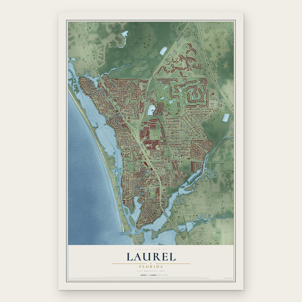
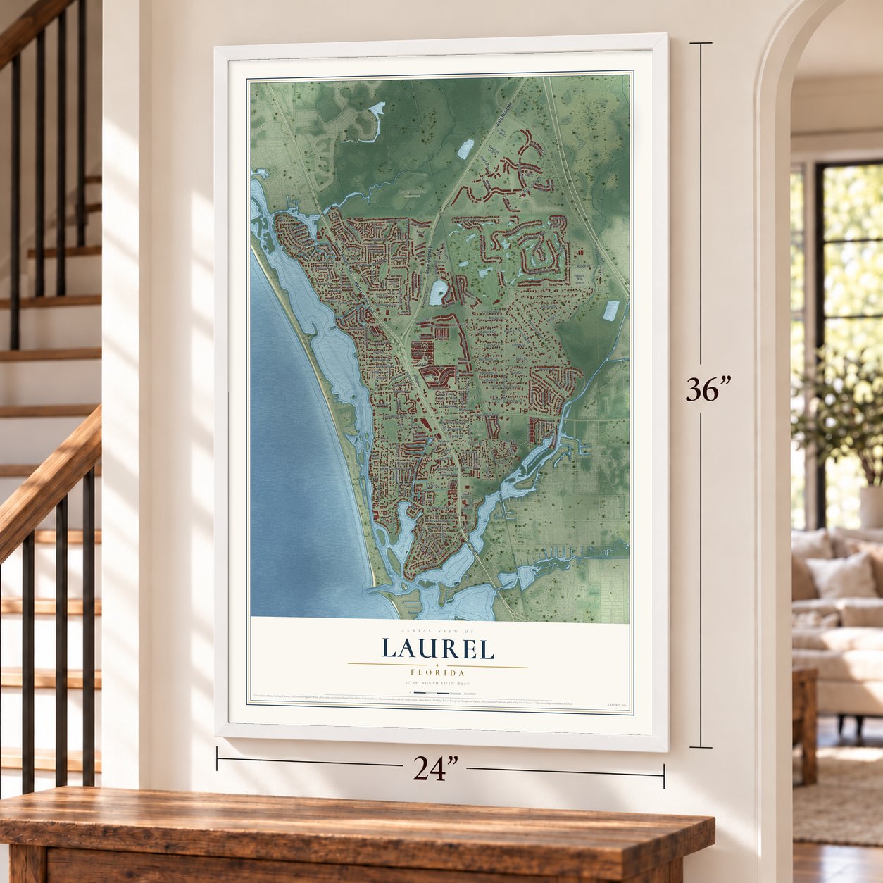
Laurel, Florida Map Art
Building by building, with labeled streets and shaded relief.
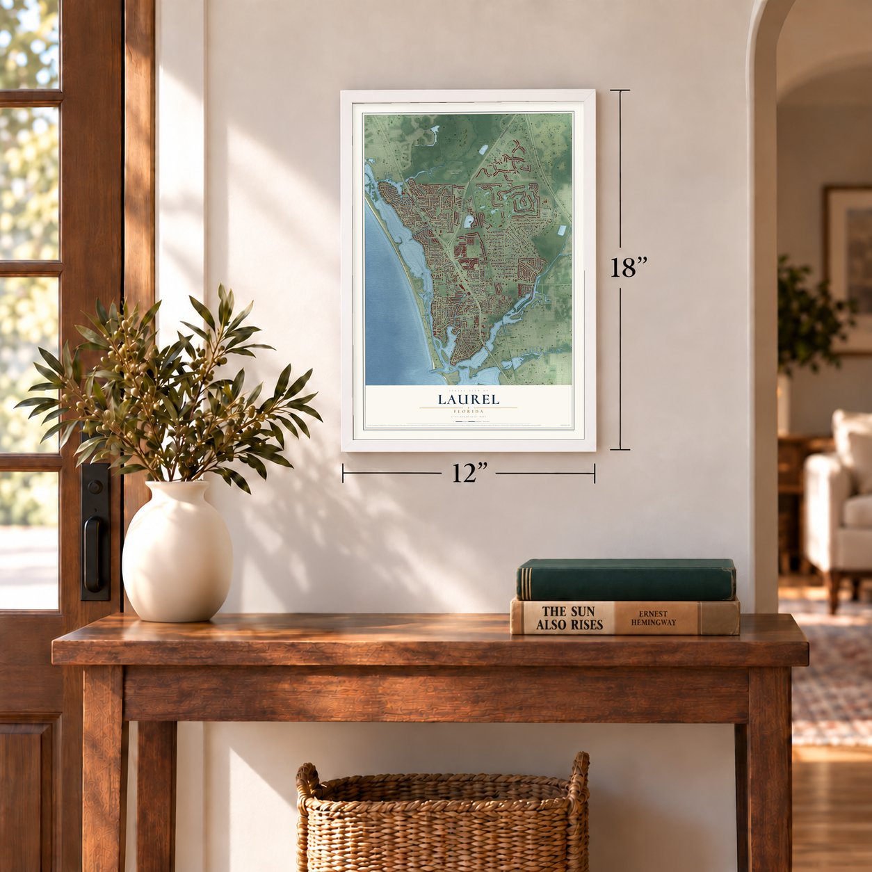
12" x 18" Archival Matte Print
A Map of Home. A Work of Art.
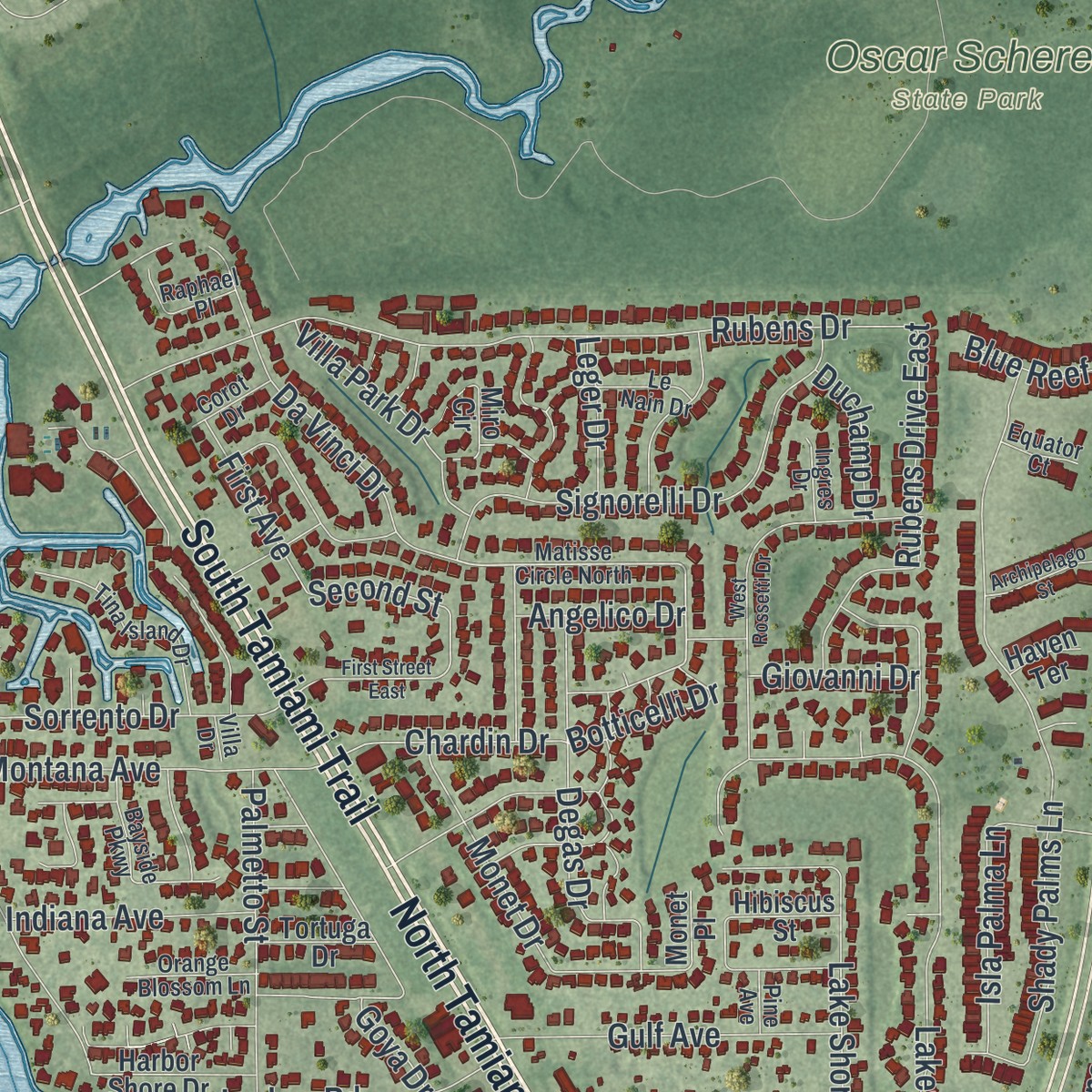
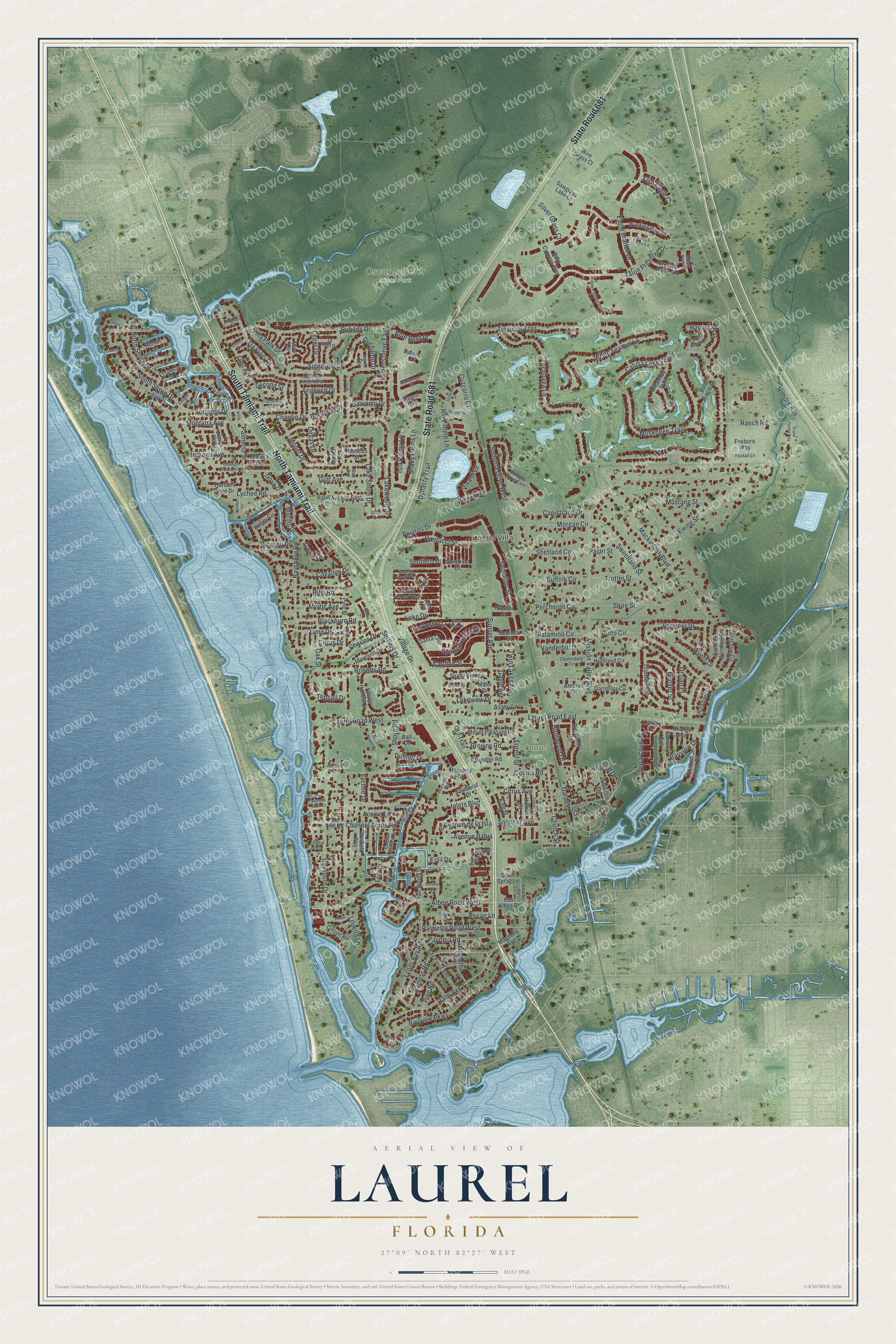
Explore Laurel, Florida from a whole new perspective. Created using aerial imagery and detailed geographic data, this map captures Laurel building by building, with labeled streets, familiar landmarks, and shaded topographical relief that highlights the natural contours of the landscape.
Combining modern data with the timeless character of a vintage atlas, this map is just as interesting up close as it is beautiful on the wall. Whether you grew up in Laurel, spent memorable years there, or call it home today, this unique map is a great way to celebrate a place that means something to you. Zoom in on the preview to look for your street, and then order a print to put your memories on the wall.
Three ways to hang it
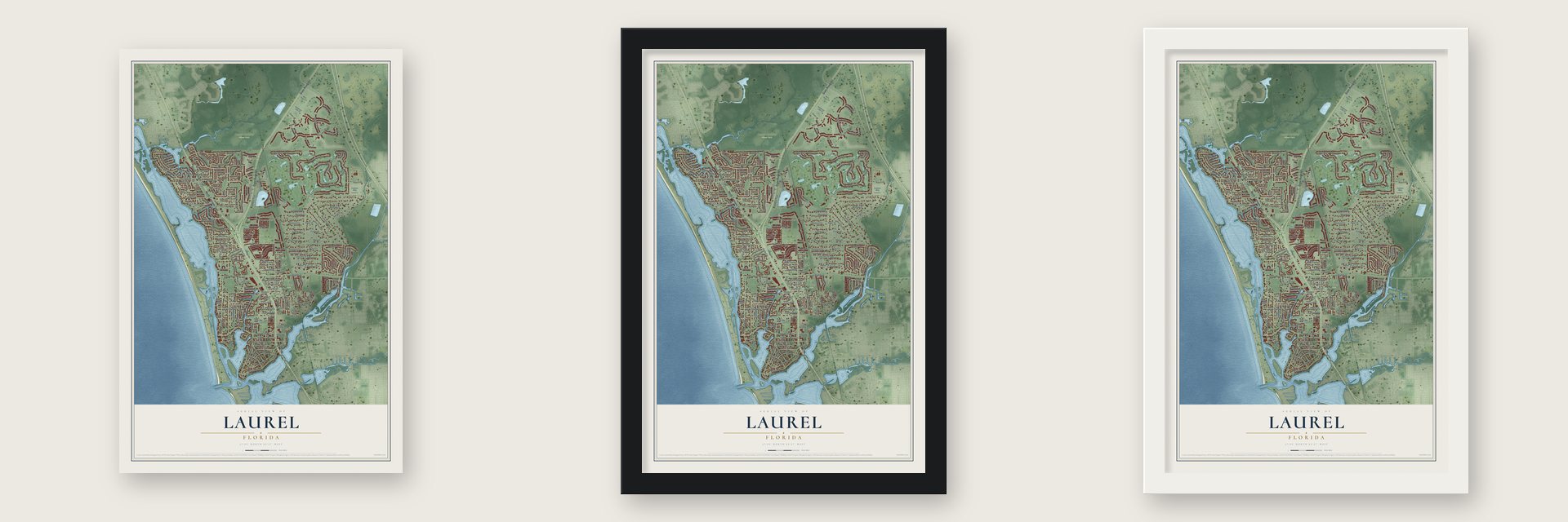
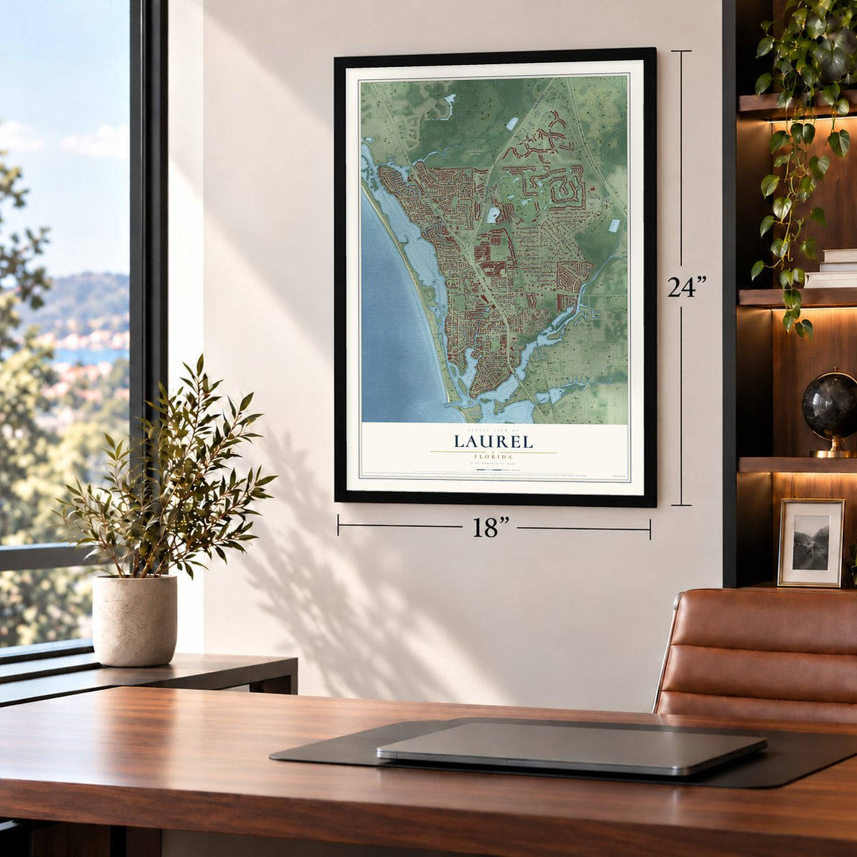
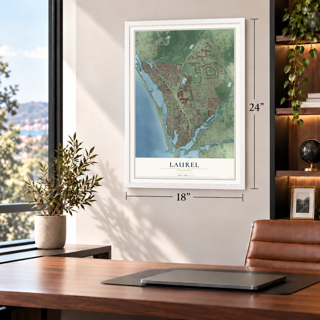
Unframed archival matte, a black wood frame or a white wood frame.
Up close
Geography Worth Displaying
This map was created using accurate cartographic data and authoritative geographic sources, including the U.S. Geological Survey and the Census Bureau. The map brings together terrain, waterways, roads, and building detail. The majority of the streets are labeled, houses are accurately depicted, and the topography is derived from government sources. Combining local data with carefully composed color and shading leads to this beautifully detailed Laurel artwork for your wall.
Rather than simply showing street outlines, we’ve included as many of the street names as we could reasonably fit on the map while keeping their names legible. Zoom in on the high resolution preview to see exactly what’s on the map. We truly set out to create a statement piece for anyone who loves Laurel. So whether it’s for you, or a gift for someone you love, we hope this map of Laurel brings back fond memories.
Read the story behind this map of Laurel, Florida from 2026.

Find your street
Names on the Laurel map
Every name below is printed on this map. Look for your street, your school, the park where you played, or the pond down the road.
Places and landmarks3
- Laurel Villa
- Laurel Park
- Oscar Scherer State Park
Streets and roads245
- South Tamiami Trail
- North Tamiami Trail
- State Road 681
- Palm Avenue
- Inlets Boulevard
- Bayshore Road
- Laurel Road East
- Pameto Road
- Spencer Avenue
- Citrus Avenue
- Settlers Drive
- Hoover Street
- Bayshore Drive
- Tocobaga Lane
- Lyons Bay Road
- South Shore Drive
- Macaw Drive
- Botticelli Drive
- Calusa Lakes Boulevard
- Roberts Road
- Chardin Drive
- Honore Avenue
- Mission Valley Boulevard
- Talon Preserve Drive
- Shore Road
- Albee Road West
- Eagle Branch Drive
- Timucua Trail
- Semolino Street
- Rubens Drive
Show all 245 streets
- Mackintosh Boulevard
- Muskogee Trail
- Shady Palms Lane
- White Feather Lane
- Vermeer Drive
- Ewing Street
- Ranch Road
- Lakewood Drive
- Bayview Parkway
- Laurel Road West
- Bayview Drive
- Sweetland Street
- Palmetto Street
- Pine Road
- Signorelli Drive
- Village Drive
- Acacia Circle
- Pajaros Drive
- Shire Street
- Sunset Avenue
- Sorrento Drive
- Lake Shore Drive
- Spanish Lakes Drive
- Sonoma Drive West
- Church Street
- Da Vinci Drive
- Mustang Street
- Degas Drive
- Lakeview Drive
- Rubens Drive East
- Cantucci Street
- Monet Drive
- Montana Avenue
- Blackburn Road
- Piccolo Street
- Shetland Circle
- Captiva Street
- Old Trail
- Collins Road
- La Costa Drive
- Gulf Avenue
- Pavonia Road
- Palmetto Road West
- Charles Drive
- Isla Palma Lane
- Dynasty Trail
- Sentiero Drive
- Truman Circle
- Lychee Road
- Capistrano Drive
- Morgan Circle
- Hills Road
- Picasso Drive
- Louella Lane
- Forest Street
- Terra Cove Drive
- Villa Park Drive
- Wyeth Drive
- North Shore Drive
- Cavallini Drive
- Channel Acres Road
- Suffolk Circle
- Percheron Circle
- Trotter Street
- Indiana Avenue
- Browns Road
- Palamino Circle
- Dante Drive
- Avenue de la Isla
- Rio Limpio Lane
- Acacia Lane
- Oak Street
- Harrier Way
- Myrtle Avenue
- Vanderbilt Drive
- Cuzcorro Court
- Twin Lakes Avenue
- Estil Drive
- Lime Drive
- Vivaldi Drive
- Pinto Circle
- Bluffwood Drive
- First Avenue
- Topsail Drive
- Silver Grass Court
- Lake Drive
- Derian Place
- Avenue Bahia
- Fish Eagle Court
- Blue Reef Place
- Gardenia Drive
- Astey Lane
- Giovanni Drive
- Angelico Drive
- Duchamp Drive
- Murillo Drive
- Leger Drive
- Pacer Street
- Dulmer Drive
- Second Street
- Gayle Avenue
- Lychee Drive
- Pecan Lane
- Citrus Drive
- Goya Drive
- Hibiscus Drive
- Laurel Hollow Drive
- Fair Winds Drive
- Sorrento Woods Boulevard
- Bay Point Avenue
- Winding Pine Drive
- Bellini Circle
- Poinsettia Road
- Palm Avenue East
- Delacroix Circle
- Mount Pleasant Road
- Hanchey Drive
- Circuit Road
- Ruisdael Circle
- Margaret Drive
- Micanopy Trail
- Garland Avenue
- Dartmoor Circle
- Foxboro Way
- Bradberry Drive
- Harbor Shore Drive
- Crested Eagle Lane
- Miro Circle
- Shakett Creek Drive
- Bay Street
- Chandler Road
- Highland Circle
- Shady Pine Lane
- Sunshine Drive
- Bald Cypress Way
- Santa Cruz
- Lafitte Drive
- Aristocrat Drive
- Ball Drive
- King Street
- Magnolia Avenue
- El Greco Drive
- Hamlin Street
- Winfield Way
- Bald Eagle Lane
- Orange Avenue
- Renoir Drive
- Pine Street
- Silver Spray Lane
- Sawgrass Lake Court
- Scarlotti Street
- Arabian Circle
- Tortuga Drive
- Park Drive
- East Albee Road
- Hibiscus Street
- Wire Grass Court
- Eddy Drive
- Mc Hill Road
- Puccini Street
- Monet Place
- Haven Terrace
- Maler Drive
- Matisse Circle North
- Sonoma Drive East
- Bayside Parkway
- Hidden Sawgrass Path
- Tina Island Drive
- Circle Drive
- Villa Drive
- Falcon Trace Lane
- Ginetti Street
- Palm Drive
- Pearl Street
- Clydesdale Circle
- Grande Talon Lane
- Orange Blossom Lane
- Dolphin Shores Circle
- Raphael Place
- Jeanette Court
- Fourth Street West
- Amalfie Road
- Foxtail Lane
- Le Nain Drive
- Mossy Pine Court
- Ingres Drive
- Equator Court
- Loblolly Lane
- Corot Drive
- Park Street
- Pine Avenue
- Sabal Lane
- Valencia Street
- Sorrento Place
- First Street East
- Banyan Circle
- Sunaire Terrace
- West Rossetti Drive
- Laurel Woods Drive
- Sierra Vista Street
- Lindis Lane
- Archipelago Street
- Biscotti Street
- Sandhill Lane
- Seventh Street West
- 4 Bays Drive
- Grand Forest Way
- Lychee Lane
- Ramblin Rose Lane
- Camille Drive
- South Drive
- Hampton Road
- Pops Lane
- Gaugin Drive
- Gloria Lane
Names are listed as they appear on the printed map. Zoom into the product photos to find them.
About Laurel, Florida
Laurel is a census-designated place of 12,186 people in Sarasota County, up from 8,171 at the 2010 census. The settlement won official recognition in 1903, when it got a post office of its own, and Wilson Stephens, the first postmaster, handled the mail from his home.
In 1911 the Seaboard Air Line Railway extended its tracks south from Fruitville, passing through Osprey and Laurel on the way to Venice. The railroad drew new industries to the area, and Laurel grew quickly through the 1910s and '20s.
- Work along the new lineThe businesses that came with the railroad shaped the young town. Black laborers did the work at the Arnold Lumber Company and the Laurel Turpentine Company, in the Blackburn groves, and on Albee's farm and dairy.
- A church moved from OspreyBlack families in Osprey built the Osprey Missionary Baptist Church in 1915. In 1947 the building was moved six miles south to the east side of Church Street in Laurel, where, as Johnson Chapel, it served as both a church and a community center. For the county's rural African American families it became a place for worship, schooling and aid to neighbors in need, and its 1997 National Register nomination recorded that history.
- Four decades in the pulpitJohnson Chapel had one pastor, the Reverend Norman Raymond Herring, from 1930 until 1974. He was a leader in Laurel and in the churches of the surrounding area, and Elks Lodge #1098 honored him for his work in the community.
Keep exploring Florida
Laurel is one of 1,039 Florida towns we've mapped. Every dot on the map is a print of its own.
The search covers every state, Florida first.
Near Laurel
Order 2 or more town maps and save 10%. Shown in the size and finish you picked above, so they hang as a set.
- Nokomis 12" x 18" / Archival Matte Print $39.99
- Osprey 12" x 18" / Archival Matte Print $39.99
- Venice 12" x 18" / Archival Matte Print $39.99

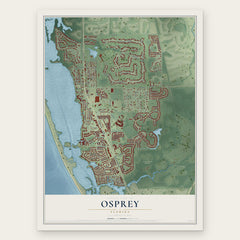

More maps nearby: Palmer Ranch, Vamo, Venice Gardens, South Venice and Gulf Gate.
The art of mapping a place
How This Map Was Made
Real places. Remarkable detail. Discover the layers that turn geographic data into a map of home.

The view from above
Aerial imagery reveals the character of the land: woodland, open fields, and the patterns of a place.

The shape of the land
Elevation data brings hills, valleys, and subtle changes in the landscape into view.

The details of home
Roads, waterways, and building footprints come together to make the map feel unmistakably local.

Geography becomes art
Considered color, shading, and typography bring the layers together in a map made for your wall.


Process illustrated with Mendon, Massachusetts. Aerial imagery: USDA NAIP. Terrain: USGS 3D Elevation Program. Map details and finished artwork: KNOWOL.
The Details
About This Print
Choose an archival matte print, or a black or white Ayous wood frame. The archival matte print is unframed.
Select your size and finish above to see the matching product image and price.
Materials & Craftsmanship
A contemporary map with the character of a classic atlas, printed on archival matte paper. Optional frames are made from Ayous wood.
Your printed map does not include the watermark shown in the full-map preview.
Shipping & Delivery
Free shipping within the United States. Every print is made to order in the USA.
Buying a gift? Add a note in your cart and we'll include it. We never put prices in the package.
Prints ship within 2 to 3 business days. Allow 7 to 10 days total from ordering for delivery. Timing may vary during holidays or periods of high order volume.
Read our shipping policy.
Returns and damaged prints
Each print is made to order. Change-of-mind refunds are not available after production.
If your print arrives damaged, misprinted or incorrect, contact support@knowol.com within 30 days of receiving it. Include your order number, photos and a description of the issue.
Read our full refund and replacement policy. For questions about your order, email support@knowol.com.