
Search for another town



Free U.S. delivery 7 to 10 days after you order
Leicester, Massachusetts Map Art
Building by building, with labeled streets and shaded relief.
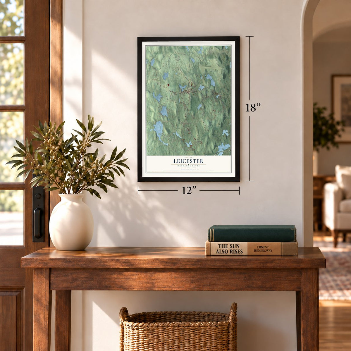
12" x 18" Archival Matte Print
A Map of Home. A Work of Art.
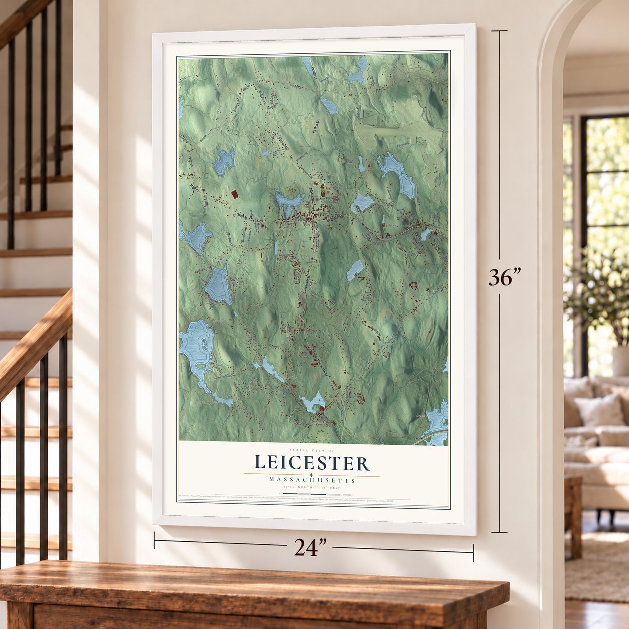
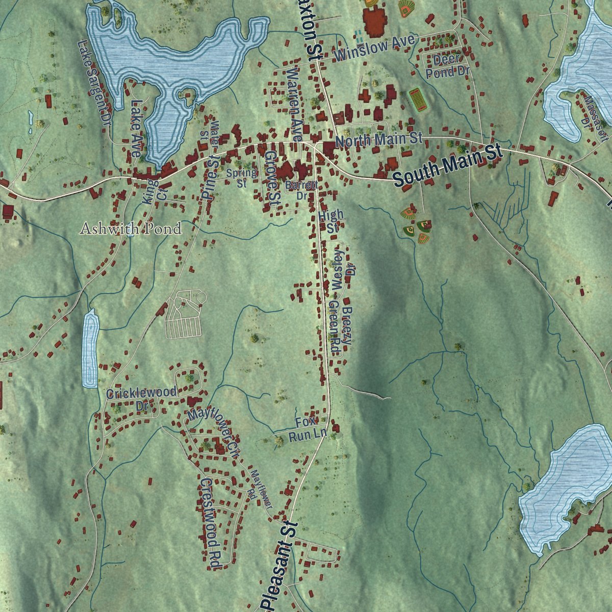
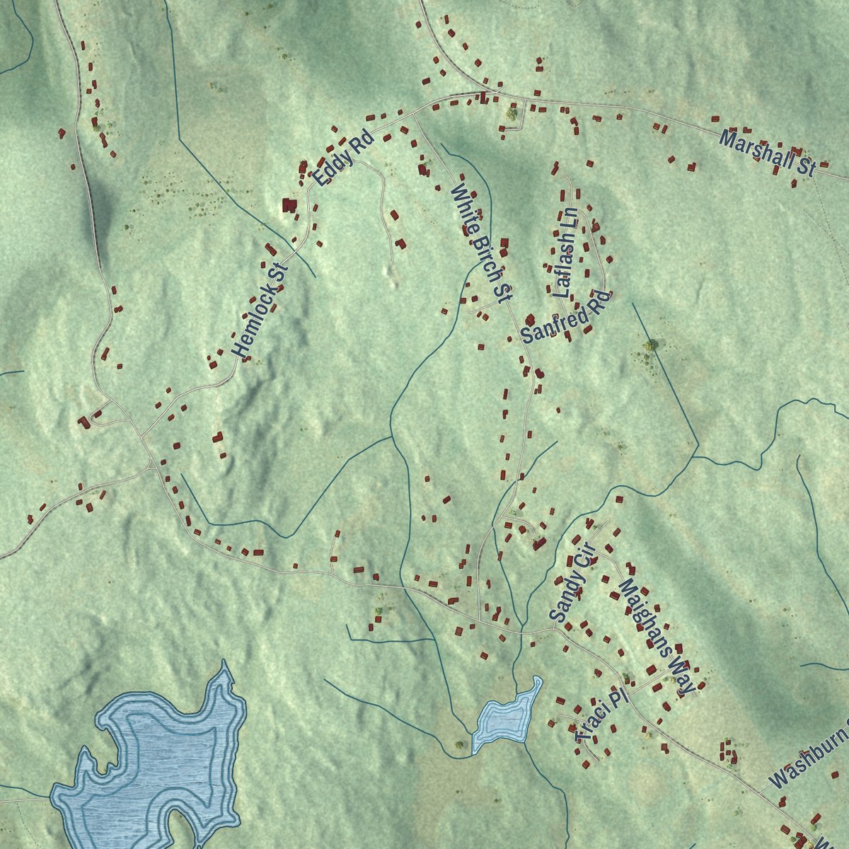
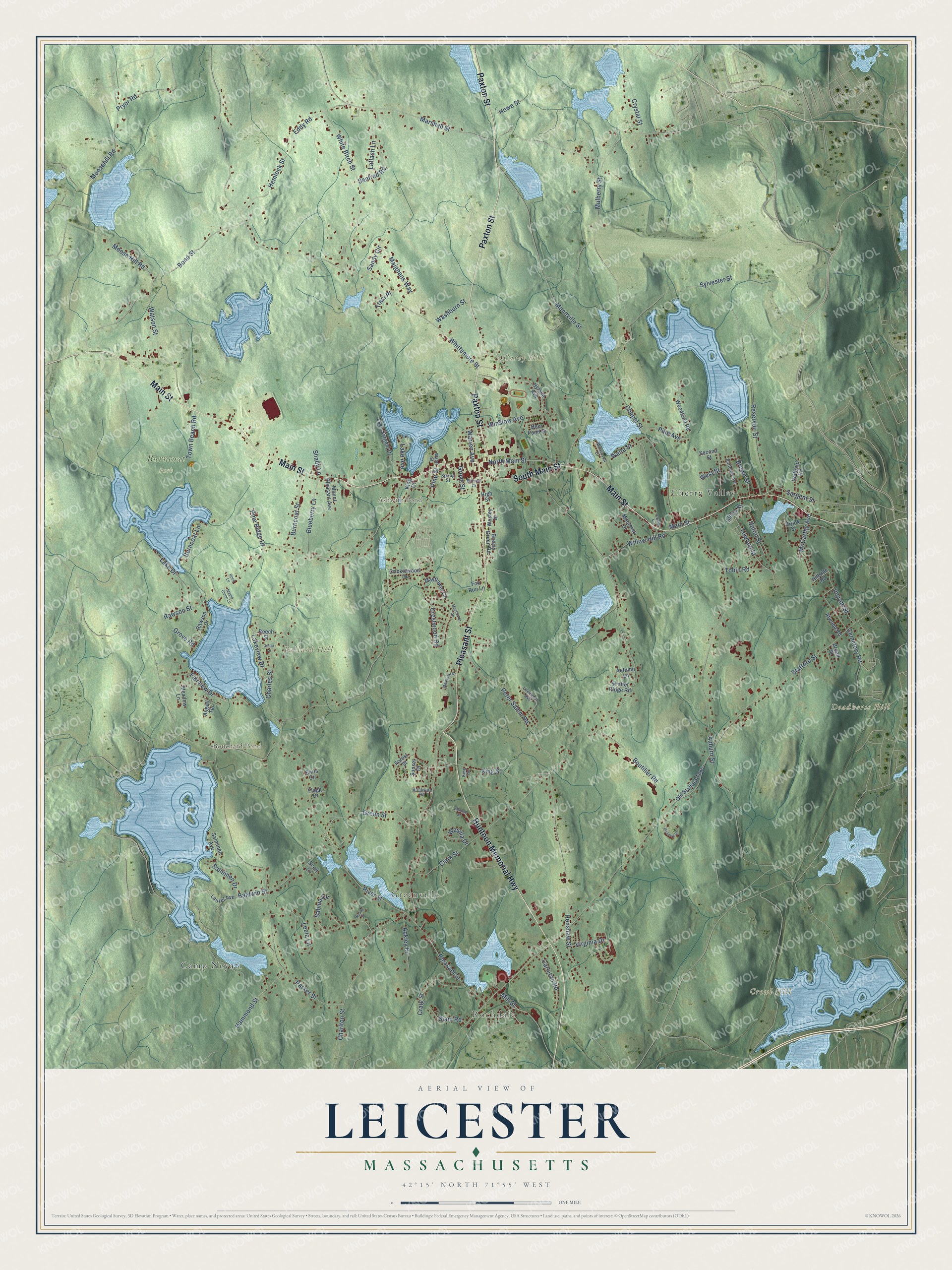
Explore Leicester, Massachusetts from a whole new perspective. Created using aerial imagery and detailed geographic data, this map captures Leicester building by building, with labeled streets, familiar landmarks, and shaded topographical relief that highlights the natural contours of the landscape.
Combining modern data with the timeless character of a vintage atlas, this map is just as interesting up close as it is beautiful on the wall. Whether you grew up in Leicester, spent memorable years there, or call it home today, this unique map is a great way to celebrate a place that means something to you. Zoom in on the preview to look for your street, and then order a print to put your memories on the wall.
Three ways to hang it
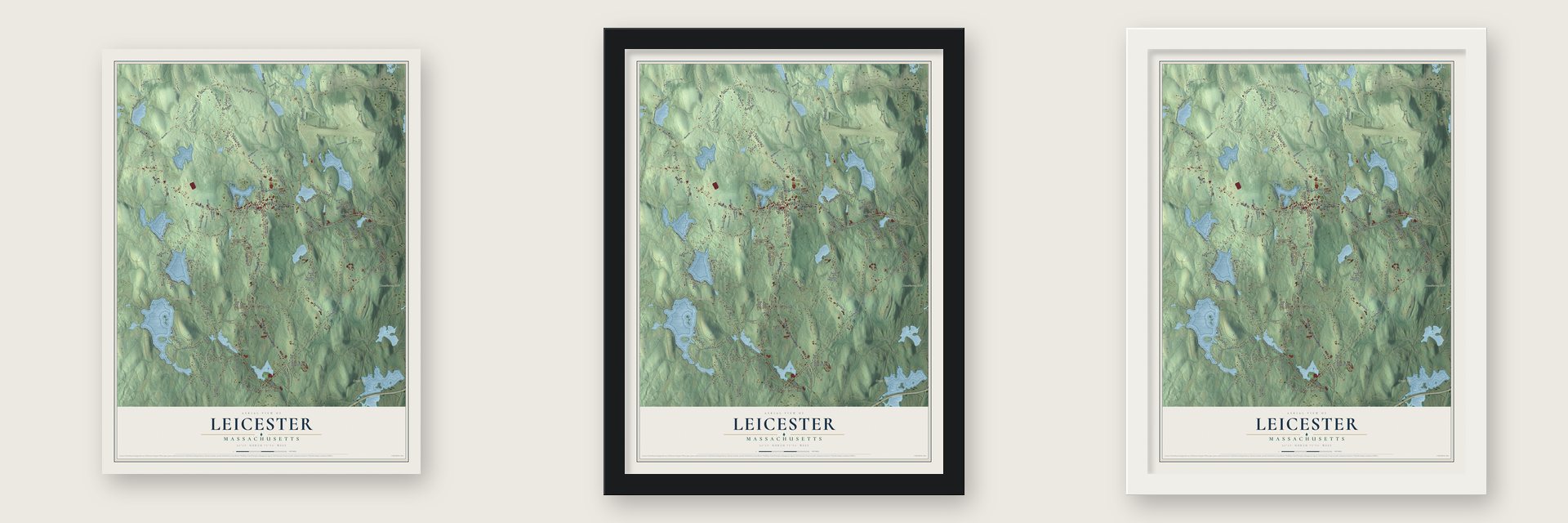
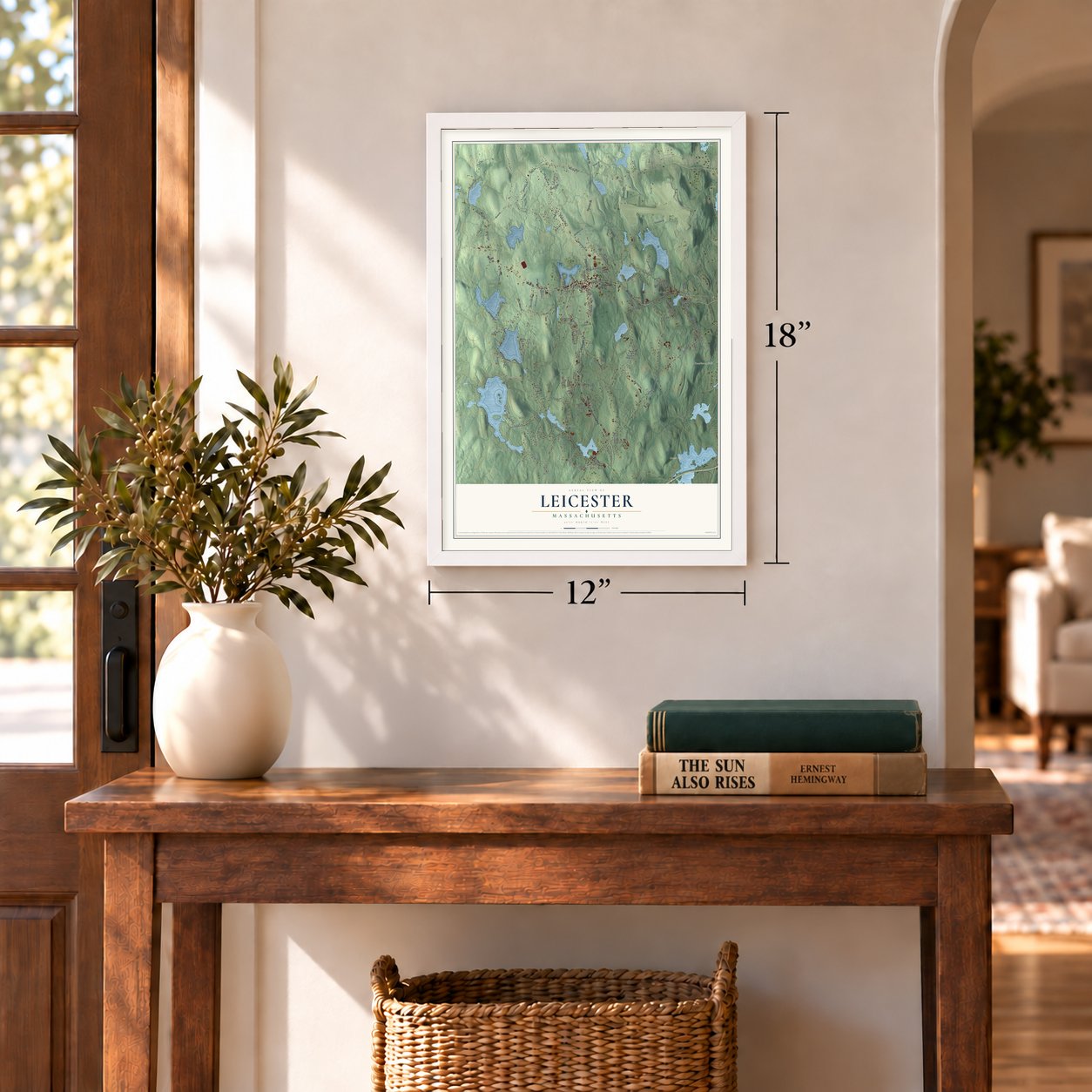
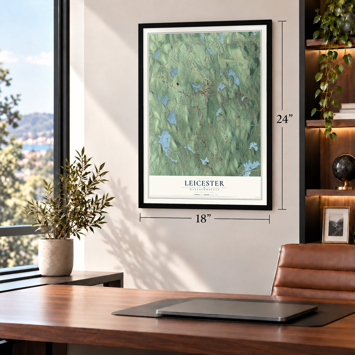
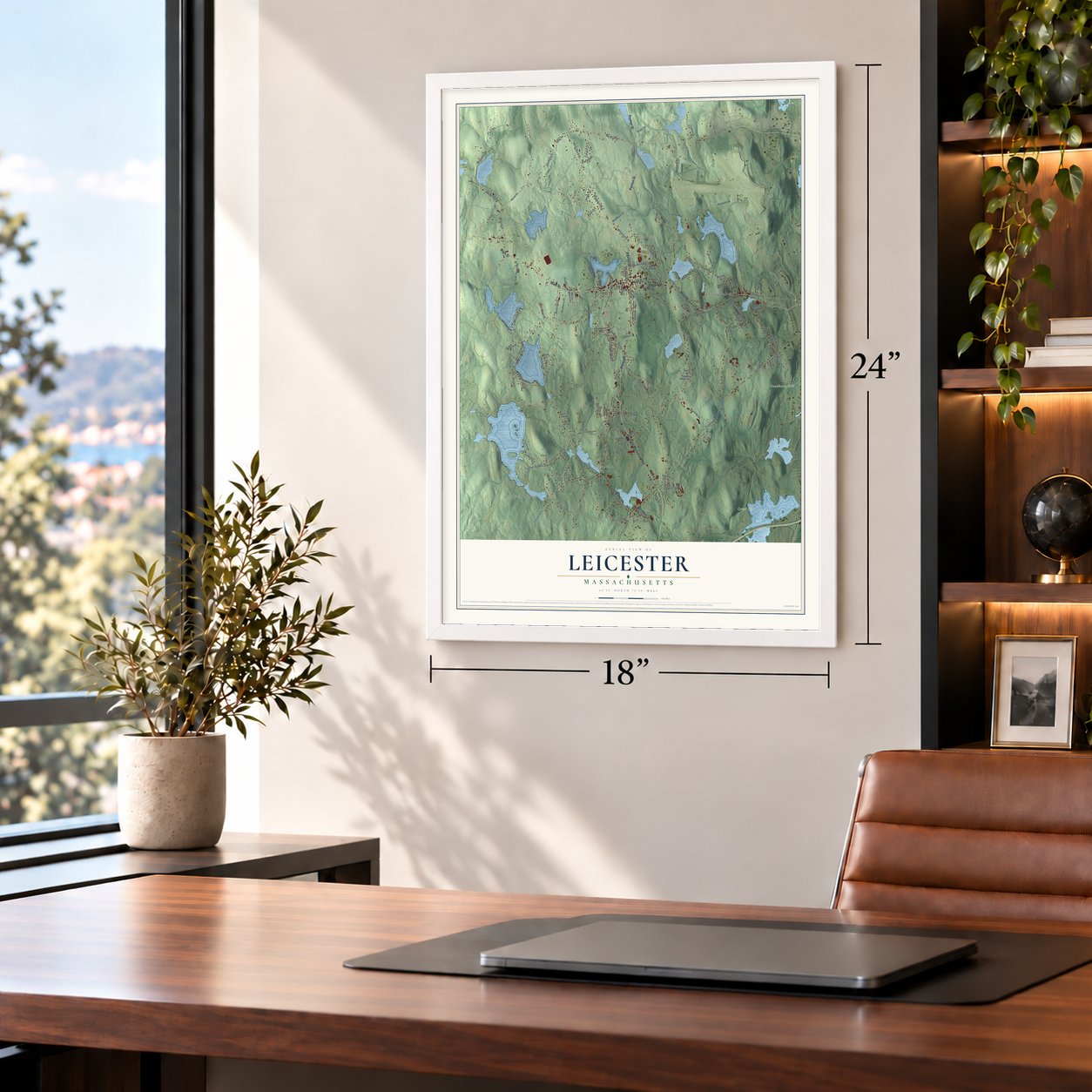
Unframed archival matte, a black wood frame or a white wood frame.
Up close
Geography Worth Displaying
This map was created using accurate cartographic data and authoritative geographic sources, including the U.S. Geological Survey (USGS) and FEMA. The map brings together terrain, waterways, roads, and building detail. The majority of the streets are labeled, houses are accurately depicted, and the topography is derived from government sources. Combining local data with carefully composed color and shading leads to this beautifully detailed Leicester artwork for your wall.
Rather than simply showing street outlines, we’ve included as many of the street names as we could reasonably fit on the map while keeping their names legible. Zoom in on the high resolution preview to see exactly what’s on the map. We truly set out to create a statement piece for anyone who loves Leicester. So whether it’s for you, or a gift for someone you love, we hope this map of Leicester brings back fond memories.
Explore the full map of Leicester, Massachusetts and read about the local places it shows.

Find your street
Names on the Leicester map
Every name below is printed on this map. Look for your street, your school, the park where you played, or the pond down the road.
Places and landmarks11
- Rochdale
- Greenville
- Ballard Hill
- Carey Hill
- Crowl Hill
- Deadhorse Hill
- Ashwith Pond
- Bouchard Pond
- Burncoat Park
- Camp Neyati
- Cherry Valley
Streets and roads133
- Huntoon Memorial Highway
- South Main Street
- Main Street
- Paxton Street
- Pleasant Street
- North Main Street
- Winslow Avenue
- Mill Street
- Henshaw Street
- Stafford Street
- Pine Street
- Whittemore Street
- Marshall Street
- Mannville Street
- Parker Street
- Rawson Street
- Auburn Street
- River Street
- Mulberry Street
- Reservoir Street
- Charles Street
- Baldwin Street
- Chapel Street
- Bond Street
- Clark Street
- Eddy Road
- Hemlock Street
- White Birch Street
- Charlton Street
- Peter Salem Road
Show all 133 streets
- Sabina Circle
- Sylvester Street
- Green Street
- King Street
- Leela Lane
- Burncoat Lane
- Moosehill Road
- Fairview Drive
- Lakeview Drive
- Blueberry Lane
- Boutilier Road
- Burncoat Street
- Crestwood Road
- Craig Street
- Moose Hill Road
- Hammond Street
- Willow Hill Road
- Crystal Street
- Lake Drive
- Waite Street
- Watson Street
- Howe Street
- McCarthy Avenue
- Pryor Road
- Tobin Road
- Virginia Drive
- Carleton Road
- Sanfred Road
- Towtaid Street
- Ingram Street
- Maighans Way
- Sargent Street
- Ackley Drive
- Town Beach Road
- Brown Street
- West Street
- Upton Street
- Olney Street
- Washburn Street
- Siani Road
- Pine Avenue
- Pine Ridge Drive
- Lake Avenue
- Salminen Drive
- Cemetery Road
- Sandy Circle
- Shady Lane
- Laflash Lane
- Grove Road
- Warren Avenue
- Wasilla Drive
- Traci Place
- Grove Street
- Wesley Drive
- Hyland Avenue
- Cricklewood Drive
- Mayflower Circle
- Woodland Road
- Old Stafford Turnpike
- Deer Pond Drive
- Sunset Drive
- Lake Sargent Drive
- Brook Street
- Salminen Avenue
- Redfield Road
- Rawson Drive
- Mount Pleasant Avenue
- Monterey Drive
- Laurel Avenue
- Beech Street
- Shelter Ridge Road
- Atwood Road
- Breezy Green Road
- Fox Run Lane
- Second Street
- King Court
- Meadow Lane
- Autumn Lane
- Forest Street
- Hillside Road
- Broad Street
- Flagg Drive
- Angell Terrace
- Chris Circle
- Scott Lane
- High Street
- Bottomly Avenue
- Lexington Avenue
- Spring Street
- Massasoit Drive
- Brickyard Road
- Barrett Drive
- Water Street
- King Terrace
- Victoria Drive
- Mayflower Road
- Edward Street
- Memorial Drive
- Maple Glenn Lane
- Cedar Lane
- Wendy Place
- Collier Avenue
- Rock Lane
Names are listed as they appear on the printed map. Zoom into the product photos to find them.
About Leicester, Massachusetts
Leicester is a town of 11,087 people in Worcester County, just west of Worcester. The Nipmuc people called this land Towtaid. On January 27, 1686, nine land speculators, most of them from Roxbury, paid 15 pounds for eight square miles and named it Strawberry Hill. The place was remote and the colonies were often at war, so nearly 30 years passed before anyone settled it.
On February 15, 1713, the General Court incorporated Leicester, provided that 50 families moved in within seven years. Samuel Green, the first selectman, chose the name because his father came from Leicester, England. The town later gave up land to its neighbors: its western half became Spencer in 1753, and its northern part helped form Paxton in 1765. In 1774 Colonel William Henshaw told a Committee of Safety meeting that the colony needed men who could march at a minute's notice. When the call came on April 19, 1775, Leicester's minutemen gathered on Leicester Common and set out toward Lexington and Concord.
“Pray for me and I will fight for you.”
- Clock weights for bulletsOn April 19, 1775, a rider brought word that British regulars were heading for Concord. Captain Seth Washburn, the town blacksmith, left his work at the forge, rushed outside and fired his musket as a signal, and by four o'clock the minutemen were on the common. Heading east, the company stopped in Cherry Valley at the home of Nathan Sargent. He melted the lead weights from his family's clock into bullets for all forty-three men.
- A refuge that became an academyAfter British troops seized Newport, about seventy of its Jewish residents moved to Leicester in 1777 for the rest of the war. Merchant Aaron Lopez built a large house and store near the meetinghouse, and they closed shops from Friday evening to Monday morning. Lopez died in 1782, and the others went home after the peace. His house was bought for Leicester Academy, chartered in 1784, which opened with three pupils.
- Cards for Slater's millBy 1785 Edmond Snow was making hand cards, the wire-toothed tools used to comb wool, and the trade grew from there. In 1790 Pliny Earle supplied Samuel Slater's new Rhode Island cotton mill with cards. By 1837 seventeen Leicester firms made hand cards, and in the 1890s a third of the hand and machine cards in North America came from this town.
- The boy in the caveHeavy snows buried New England in February and March 1717, and cattle in Leicester walked over drifts twelve feet deep. Around then young Thomas Green fell ill with fever while tending his father's cattle alone. Green survived to become a well-known doctor, and in 1738 he became pastor of the new Baptist church at Greenville.
Keep exploring Massachusetts
Leicester is one of 461 Massachusetts towns we've mapped. Every dot on the map is a print of its own.
The search covers every state, Massachusetts first.
Near Leicester
Order 2 or more town maps and save 10%. Shown in the size and finish you picked above, so they hang as a set.
- Spencer 12" x 18" / Archival Matte Print $39.99
- Auburn 12" x 18" / Archival Matte Print $39.99
- Pakachoag 12" x 18" / Archival Matte Print $39.99


More maps nearby: Paxton, Worcester, East Brookfield, Millbury and Dawson.
The art of mapping a place
How This Map Was Made
Real places. Remarkable detail. Discover the layers that turn geographic data into a map of home.

The view from above
Aerial imagery reveals the character of the land: woodland, open fields, and the patterns of a place.

The shape of the land
Elevation data brings hills, valleys, and subtle changes in the landscape into view.

The details of home
Roads, waterways, and building footprints come together to make the map feel unmistakably local.

Geography becomes art
Considered color, shading, and typography bring the layers together in a map made for your wall.


Process illustrated with Mendon, Massachusetts. Aerial imagery: USDA NAIP. Terrain: USGS 3D Elevation Program. Map details and finished artwork: KNOWOL.
The Details
About This Print
Choose an archival matte print, or a black or white Ayous wood frame. The archival matte print is unframed.
Select your size and finish above to see the matching product image and price.
Materials & Craftsmanship
A contemporary map with the character of a classic atlas, printed on archival matte paper. Optional frames are made from Ayous wood.
Your printed map does not include the watermark shown in the full-map preview.
Shipping & Delivery
Free shipping within the United States. Every print is made to order in the USA.
Buying a gift? Add a note in your cart and we'll include it. We never put prices in the package.
Prints ship within 2 to 3 business days. Allow 7 to 10 days total from ordering for delivery. Timing may vary during holidays or periods of high order volume.
Read our shipping policy.
Returns and damaged prints
Each print is made to order. Change-of-mind refunds are not available after production.
If your print arrives damaged, misprinted or incorrect, contact support@knowol.com within 30 days of receiving it. Include your order number, photos and a description of the issue.
Read our full refund and replacement policy. For questions about your order, email support@knowol.com.