
Search for another town





Free U.S. delivery 7 to 10 days after you order
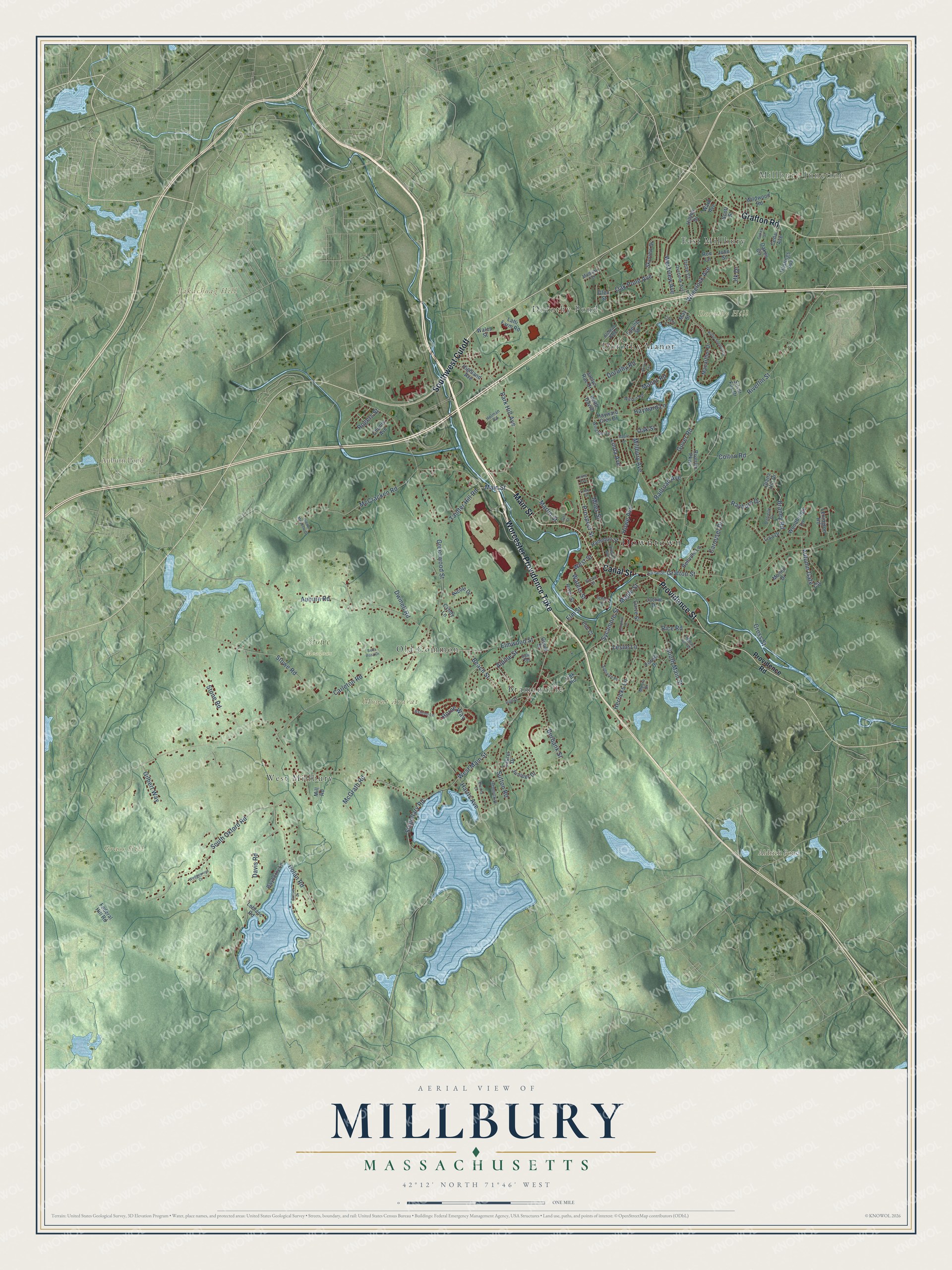
Millbury, Massachusetts Map Art
Building by building, with labeled streets and shaded relief.
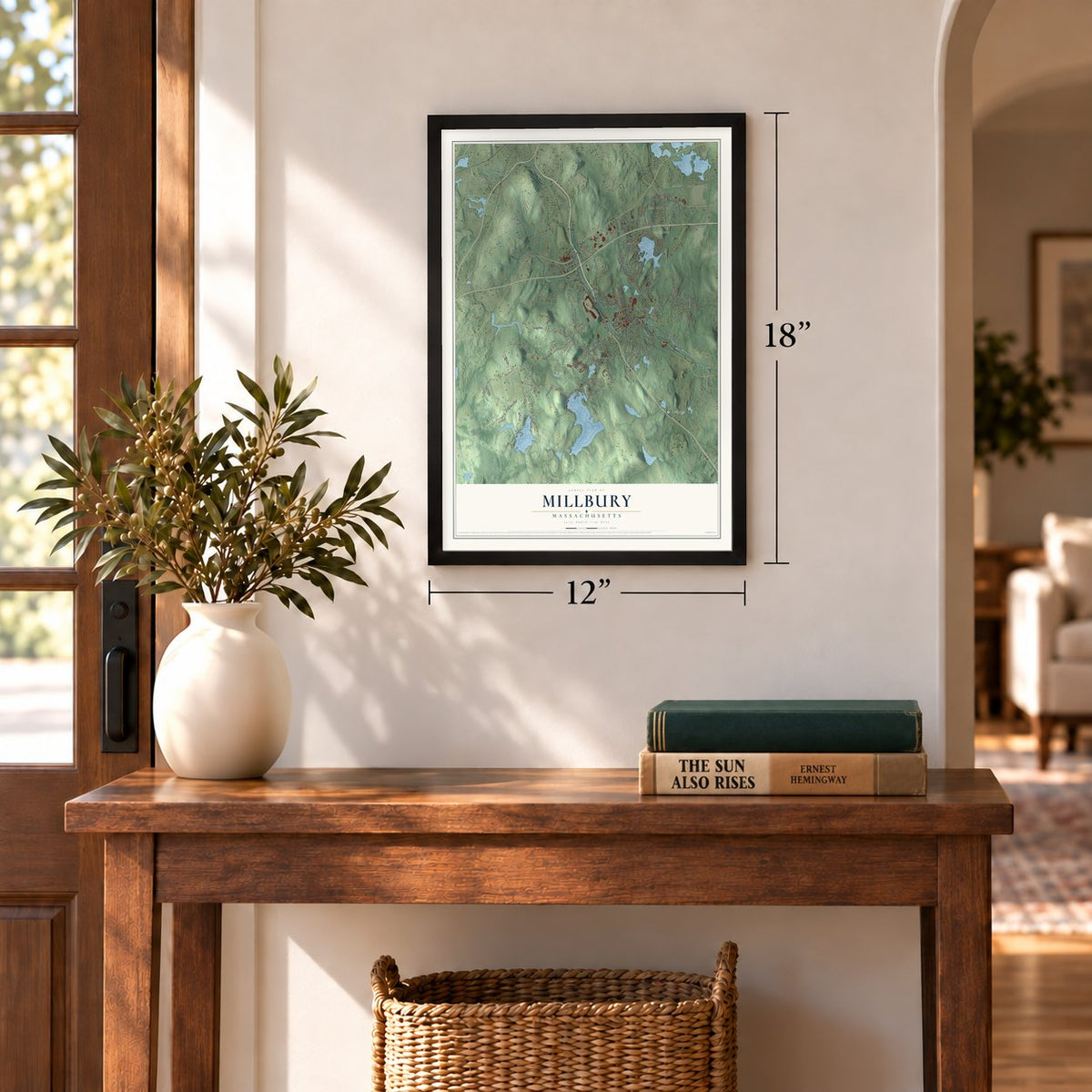
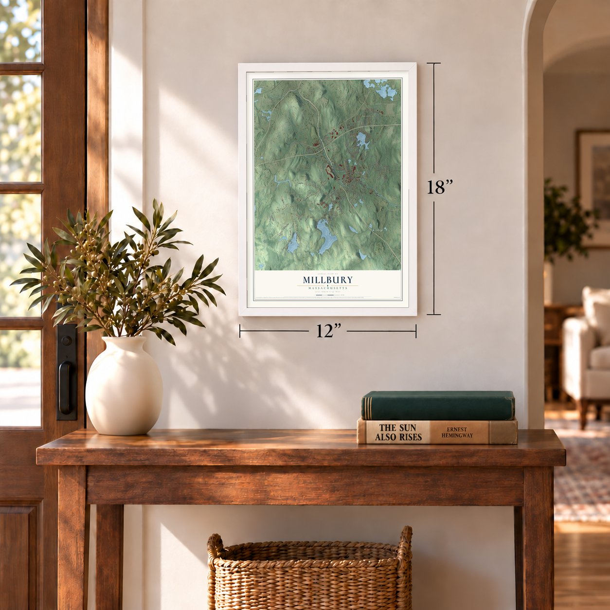
12" x 18" Archival Matte Print
A Map of Home. A Work of Art.
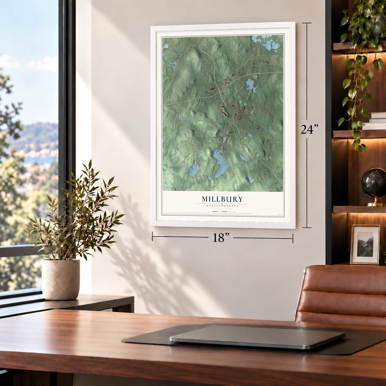
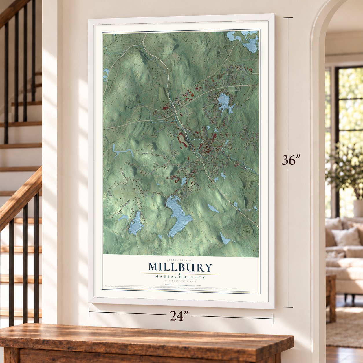
Explore Millbury, Massachusetts from a whole new perspective. Created using aerial imagery and detailed geographic data, this map captures Millbury building by building, with labeled streets, familiar landmarks, and shaded topographical relief that highlights the natural contours of the landscape.
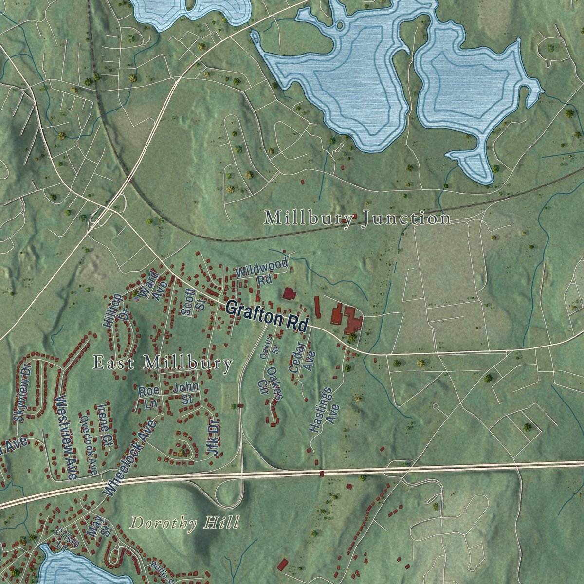
Combining modern data with the timeless character of a vintage atlas, this map is just as interesting up close as it is beautiful on the wall. Whether you grew up in Millbury, spent memorable years there, or call it home today, this unique map is a great way to celebrate a place that means something to you. Zoom in on the preview to look for your street, and then order a print to put your memories on the wall.
Three ways to hang it
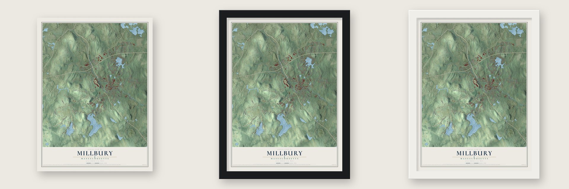
Unframed archival matte, a black wood frame or a white wood frame.
Up close
Geography Worth Displaying
This map was created using accurate cartographic data and authoritative geographic sources, including the U.S. Geological Survey (USGS) and FEMA. The map brings together terrain, waterways, roads, and building detail. The majority of the streets are labeled, houses are accurately depicted, and the topography is derived from government sources. Combining local data with carefully composed color and shading leads to this beautifully detailed Millbury artwork for your wall.
Rather than simply showing street outlines, we’ve included as many of the street names as we could reasonably fit on the map while keeping their names legible. Zoom in on the high resolution preview to see exactly what’s on the map. We truly set out to create a statement piece for anyone who loves Millbury. So whether it’s for you, or a gift for someone you love, we hope this map of Millbury brings back fond memories.
Explore the full map of Millbury, Massachusetts and read about the local places it shows.

Find your street
Names on the Millbury map
Every name below is printed on this map. Look for your street, your school, the park where you played, or the pond down the road.
Places and landmarks15
- Downtown
- Millbury Junction
- Dorothy Hill
- Grass Hill
- Mount Ararat
- Pakachoag Hill
- Aldrich Pond
- Auburn Pond
- Stowe Meadows
- West Millbury
- Dorothy Manor
- Bramanville
Show all 15 places
- East Millbury
- Old Common
- Dorothy Pond
Streets and roads141
- Worcester-Providence Turnpike
- Canal Street
- Main Street
- Providence Street
- Southwest Cutoff
- Grafton Road
- Park Hill Avenue
- Greenwood Street
- Elmwood Street
- West Main Street
- Grafton Street
- Harris Avenue
- Riverlin Street
- Millbury Avenue
- South Oxford Road
- McCracken Road
- Auburn Road
- Wheelock Avenue
- Carleton Road
- Horne Way
- Davis Road
- South Main Street
- Dwinell Road
- Stowe Road
- Dolan Road
- Sycamore Street
- Howe Avenue
- Oak Pond Avenue
- Rayburn Drive
- Miles Street
Show all 141 streets
- Gover Road
- Carousel Drive
- Elm Street
- Beach Street
- Autumn Gate Circle
- Burbank Street
- Martin Street
- Cross Street
- McGrath Road
- Stone Road
- Prospect Street
- Tainter Hill Road
- Sutton Road
- Singletary Road
- Braney Road
- Herricks Lane
- Alpine Street
- Dorothy Road
- Linda Avenue
- Maple Street
- Westview Avenue
- Hayward Lane
- Colton Road
- Waters Street
- Railroad Avenue
- Jfk Drive
- Rice Road
- Manor Road
- Leslie Lane
- Gilbert Way
- Rogers Street
- West Street
- Oak Street
- Providence Road
- Macarthur Drive
- Skyview Drive
- Juniper Drive
- Nicole Drive
- Hastings Avenue
- Elm Court
- Bellville Lane
- River Street
- Lexington Road
- Momin Drive
- Hayward Glen Drive
- Bayberry Lane
- Diana Hill Drive
- Epping Street
- Hamilton Street
- Cedar Avenue
- Woodbridge Lane
- Riverlin Parkway
- Hilltop Drive
- Curve Street
- Mill Road
- Oakes Circle
- Highland Avenue
- Keith David
- Laurel Drive
- Fink Road
- Chunis Avenue
- Jackie Drive
- Wildwood Road
- Latti Farm Road
- Jaclyn Rae Drive
- Silver Fox Drive
- Forest Drive
- Cyndy Lane
- Federal Hill Road
- Irene Court
- Leblanc Road
- Gould Street
- Wales Street
- Ward Avenue
- John Street
- Scott Street
- Lisa Drive
- Roe Lane
- Glen Street
- May Street
- Wingfoot Lane
- Hemlock Drive
- Sullivan Place
- Moore Drive
- Danielle Drive
- Grove Street
- Wilson Road
- Overlook Avenue
- Alstead Path
- Cristo Lane
- Ashton Lane
- Holman Road
- Millbury Terrace
- Salo Terrace
- Maple Lane
- Bella Rosa Drive
- High Street
- Rollie Shepard Drive
- Wedgewood Drive
- Atwood Avenue
- Sunset Drive
- Thomas Hill Road
- Oakes Street
- Hidden Meadow Drive
- Colonial Drive
- School Street
- Shore Terrace
- Brenda Drive
- Leone Avenue
- Lindy Street
- Goff Street
Names are listed as they appear on the printed map. Zoom into the product photos to find them.
About Millbury, Massachusetts
Millbury is a town of 13,831 people in Worcester County, on the Blackstone River. English settlers arrived in 1716, when the land was the North Parish of Sutton, and the long trip to town meetings at the far end of Sutton wore on them. The parish asked the General Court to split the town, and on June 11, 1813, Millbury was incorporated, named for the mills that already lined its streams.
Diggers broke ground for the Blackstone Canal in Millbury on March 27, 1828, near the Greenwood crossing, and that October the Lady Carrington, a packet boat, made the round trip from Worcester in a single day. Two horses in tandem towed boats nearly seventy feet long through the locks of Armory Village, and one boat was named Millbury. The trade drew more than a thousand newcomers around 1830, but ice closed the canal for months each winter, and a railroad branch reached town in 1838. The last toll was paid on November 9, 1848.
“There was hardly a barn in Worcester county under which I have not bent my back scraping up saltpetre.”
- Spinning since about 1753John Singletary started running a mill on Singletary Brook in 1735, and around 1753 he built the S & D Spinning Mill. It has kept working ever since, which places it among the oldest mills in the country never to shut down. The mill is pictured on the town seal, and today it makes the insides of the Rawlings balls thrown in Major League Baseball.
- Gun barrels and gunpowderIn October 1776, during the Revolution, the state ordered a powder mill built in what is now Bramanville with Asa in charge, and saltpetre proved the hardest thing to find. His sons Asa and Elijah opened an armory on the Blackstone in 1808.
- An Asher Benjamin mansionThe younger Asa Waters grew rich from the armory, founded the Millbury Bank in 1825 and served as its first president. In 1826 he began a mansion on Elm Street designed by Asher Benjamin, with a front of fluted two-story columns, and it was finished in 1832. The Asa Waters Mansion joined the National Register in 1978 and is now home to the Millbury Historical Society.
- The lathe that turned gunstocksThomas Blanchard grew up in Millbury and built his eccentric lathe here to turn irregular shapes such as gunstocks. Horace Waters carried the first one to the Springfield armory behind three horses. Springfield copied it, and the original returned to work in the Waters Armory for about twenty years. Asa Kenney, a brass founder whose shop faced Blanchard's in West Millbury, said the idea was his.
- Taft's summer townIn 1853 Alphonso Taft wed Louise Torrey in Millbury, and their son William Howard Taft spent boyhood summers here. Olive Branch Lodge of Masons made him an honorary member when he visited as president in 1912. On June 11, 1913, he came back for the town's centennial, spoke in front of Town Hall and stayed with his aunt, Delia C. Torrey, at the Torrey House, now called the Taft House.
Keep exploring Massachusetts
Millbury is one of 461 Massachusetts towns we've mapped. Every dot on the map is a print of its own.
The search covers every state, Massachusetts first.
Near Millbury
Order 2 or more town maps and save 10%. Shown in the size and finish you picked above, so they hang as a set.
- Pakachoag 12" x 18" / Archival Matte Print $39.99
- Auburn 12" x 18" / Archival Matte Print $39.99
- Sutton 12" x 18" / Archival Matte Print $39.99


More maps nearby: Grafton, North Grafton, Worcester, Oxford and Shrewsbury.
The art of mapping a place
How This Map Was Made
Real places. Remarkable detail. Discover the layers that turn geographic data into a map of home.

The view from above
Aerial imagery reveals the character of the land: woodland, open fields, and the patterns of a place.

The shape of the land
Elevation data brings hills, valleys, and subtle changes in the landscape into view.

The details of home
Roads, waterways, and building footprints come together to make the map feel unmistakably local.

Geography becomes art
Considered color, shading, and typography bring the layers together in a map made for your wall.


Process illustrated with Mendon, Massachusetts. Aerial imagery: USDA NAIP. Terrain: USGS 3D Elevation Program. Map details and finished artwork: KNOWOL.
The Details
About This Print
Choose an archival matte print, or a black or white Ayous wood frame. The archival matte print is unframed.
Select your size and finish above to see the matching product image and price.
Materials & Craftsmanship
A contemporary map with the character of a classic atlas, printed on archival matte paper. Optional frames are made from Ayous wood.
Your printed map does not include the watermark shown in the full-map preview.
Shipping & Delivery
Free shipping within the United States. Every print is made to order in the USA.
Buying a gift? Add a note in your cart and we'll include it. We never put prices in the package.
Prints ship within 2 to 3 business days. Allow 7 to 10 days total from ordering for delivery. Timing may vary during holidays or periods of high order volume.
Read our shipping policy.
Returns and damaged prints
Each print is made to order. Change-of-mind refunds are not available after production.
If your print arrives damaged, misprinted or incorrect, contact support@knowol.com within 30 days of receiving it. Include your order number, photos and a description of the issue.
Read our full refund and replacement policy. For questions about your order, email support@knowol.com.