
Search for another town


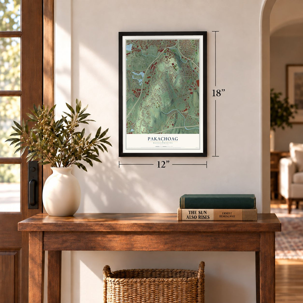
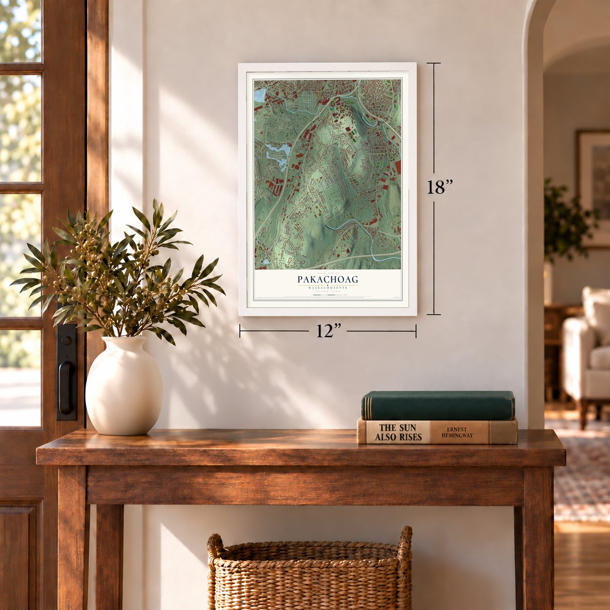
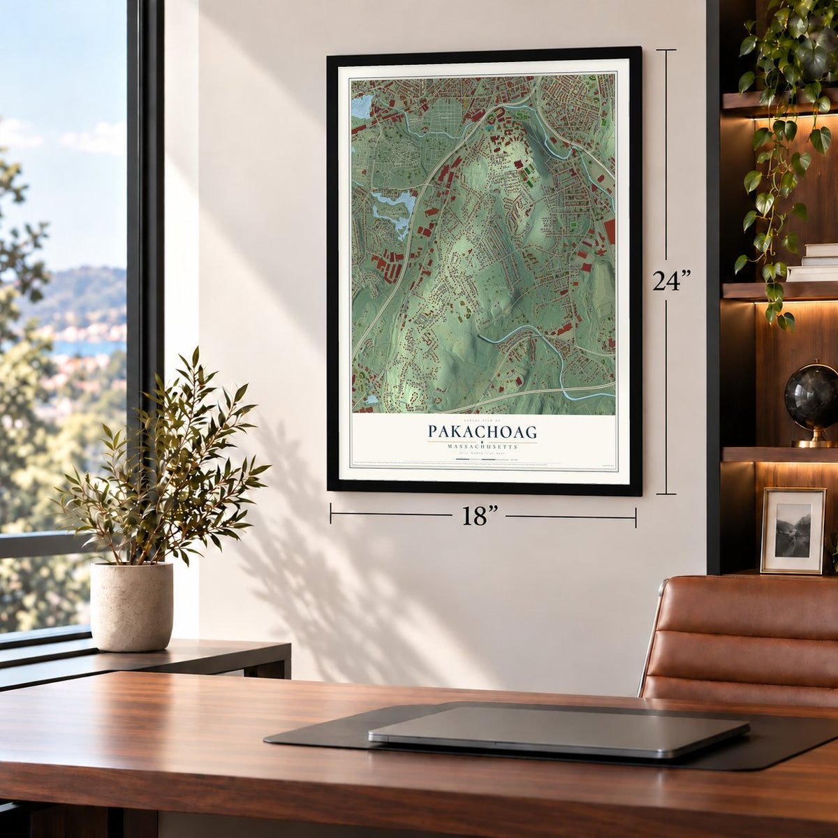
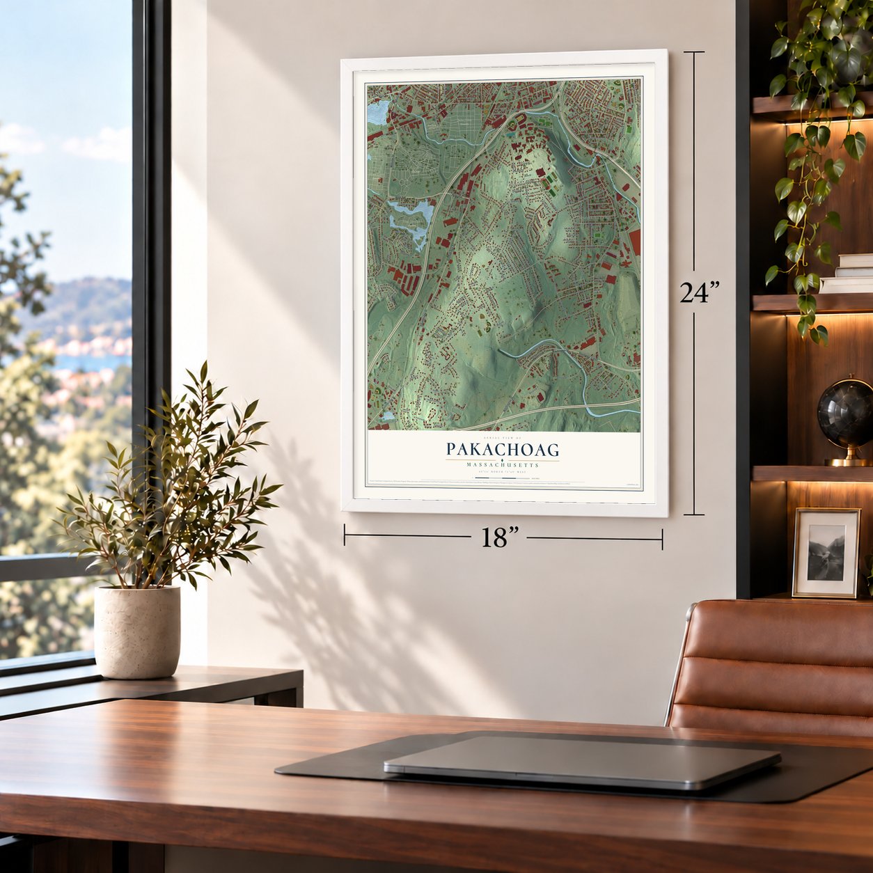

Free U.S. delivery 7 to 10 days after you order
Pakachoag, Massachusetts Map Art
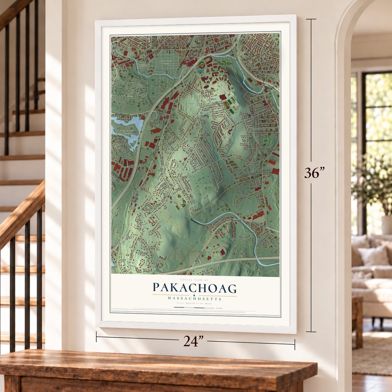
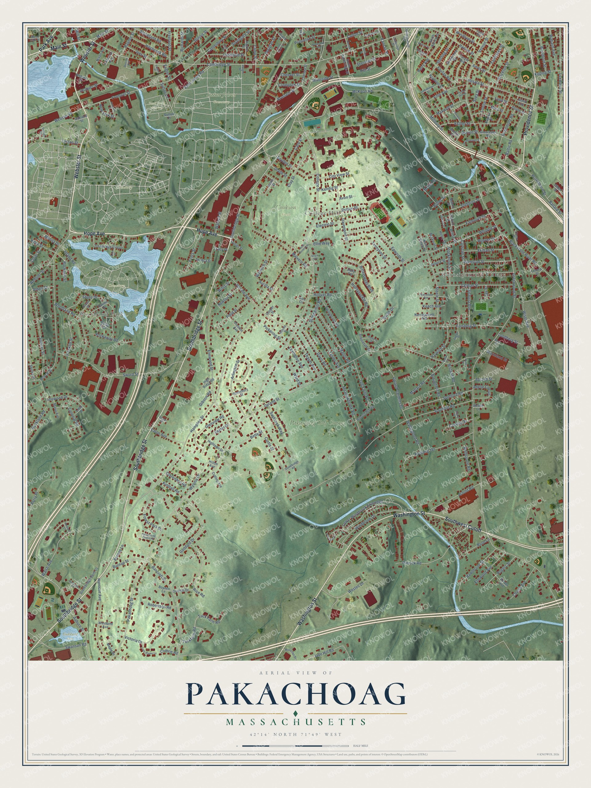
A new map of Pakachoag, Massachusetts, made in 2026 and printed to order on thick archival matte paper.
12" x 18" Archival Matte Print
A Map of Home. A Work of Art.
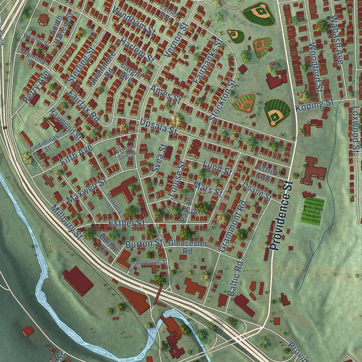
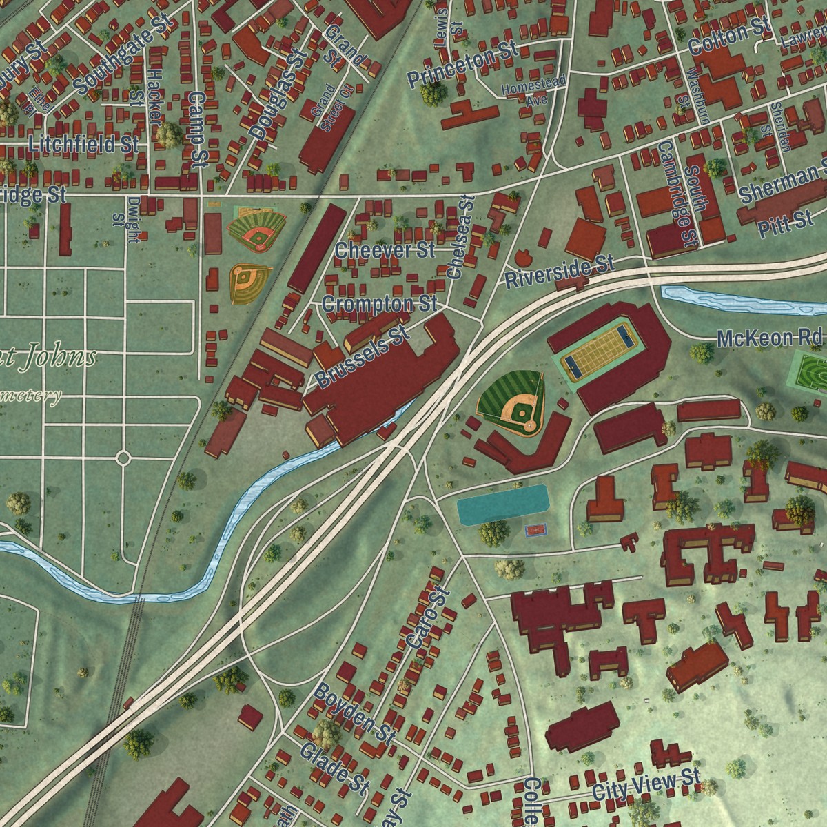
Explore Pakachoag, Massachusetts from a whole new perspective. Created using aerial imagery and detailed geographic data, this map captures Pakachoag building by building, with labeled streets, familiar landmarks, and shaded topographical relief that highlights the natural contours of the landscape.
Combining modern data with the timeless character of a vintage atlas, this map is just as interesting up close as it is beautiful on the wall. Whether you grew up in Pakachoag, spent memorable years there, or call it home today, this unique map is a great way to celebrate a place that means something to you. Zoom in on the preview to look for your street, and then order a print to put your memories on the wall.
Three ways to hang it
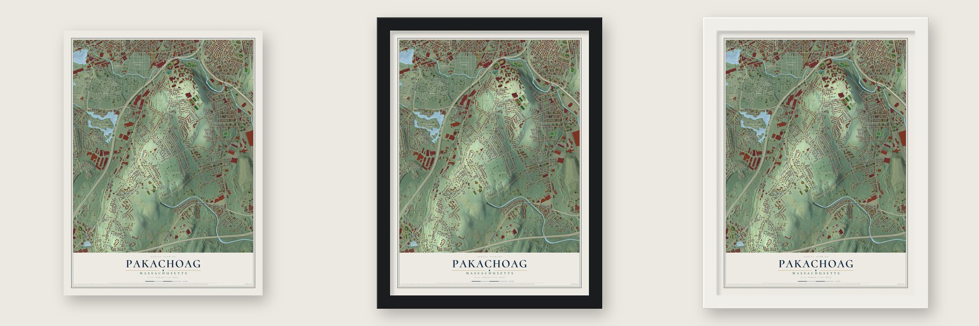
Unframed archival matte, a black wood frame or a white wood frame.
Up close
Geography Worth Displaying
This map was created using accurate cartographic data and authoritative geographic sources, including the U.S. Geological Survey and the Census Bureau. The map brings together terrain, waterways, roads, and building detail. The majority of the streets are labeled, houses are accurately depicted, and the topography is derived from government sources. Combining local data with carefully composed color and shading leads to this beautifully detailed Pakachoag artwork for your wall.
Rather than simply showing street outlines, we’ve included as many of the street names as we could reasonably fit on the map while keeping their names legible. Zoom in on the high resolution preview to see exactly what’s on the map. We truly set out to create a statement piece for anyone who loves Pakachoag. So whether it’s for you, or a gift for someone you love, we hope this map of Pakachoag brings back fond memories.
Read the story behind this map: Detailed Map of Pakachoag, Massachusetts.
Find your street
Names on the Pakachoag map
Every name below is printed on this map. Look for your street, your school, the park where you played, or the pond down the road.
Places and landmarks11
- Cookson Field
- Hope Cemetery
- New Swedish Cemetery
- Notre Dame Cemetery
- Saint Johns Cemetery
- Bnai Brith Cemetery
- Goddard Park
- Quinsigamond Village
- Woodland Park
- College Hill
- Pakachoag Golf Course
Streets and roads296
- Hope Avenue
- Webster Street
- Main Street
- Park Avenue
- Southwest Cutoff
- Southbridge Street
- Washington Street
- Providence Street
- Cambridge Street
- Millbury Street
- Honeysuckle Road
- Crompton Street
- Walsh Avenue
- Glade Street
- Ballard Street
- McKeon Road
- Vernon Street
- Steele Street
- Pakachoag Street
- Greenwood Street
- Hampton Street
- Upland Street
- Southold Road
- Blackstone River Road
- Elmwood Street
- College Street
- Boyce Street
- Sword Street
- Curtis Street
- Whipple Street
Show all 296 streets
- Fremont Street
- Auburn Street
- Malvern Road
- Bancroft Street
- Arlington Street
- Windbrook Drive
- Jerome Avenue
- Loxwood Street
- Sumner Street
- Esther Street
- Pinrock Road
- Shore Drive
- Harrison Avenue
- Tuck Farm Road
- Tuckfarm Road
- Forest Park Drive
- Tatman Street
- Wiser Avenue
- Epworth Street
- Upland Gardens Drive
- Manor Road
- Spofford Road
- Woodland Road
- Rydberg Terrace
- Lower Windbrook Extended
- Camp Street
- Goddard Drive
- Hawthorne Street
- Colonial Road
- Upsala Street
- Harlem Street
- Ames Street
- Meadowbrook Road
- Forsberg Street
- Rice Road
- Stockton Street
- Swanson Road
- Sterling Street
- Rockland Road
- Electric Street
- Webster Place
- Arnold Road
- Perry Avenue
- Fairfax Road
- Saint Johns Road
- Glenview Road
- Jade Hill Road
- Hitchcock Road
- Davis Road
- Davenport Street
- Tennyson Street
- Clay Street
- Lyman Street
- Canterbury Street
- Broughton Road
- Lesley Avenue
- Grammont Road
- Field Street
- Burnap Street
- Baltic Road
- Kendig Street
- Westec Drive
- Sutton Lane
- Thayer Avenue
- Rockaway Road
- Old Farm Road
- Fifth Avenue
- Halmstad Street
- Dutton Street
- Perry Place
- Boyden Street
- Mallard Road
- Stebbins Street
- Evers Street
- Lexington Avenue
- Ekman Street
- Rogers Street
- Franklin Street
- Woodford Street
- Elmwood Avenue
- Wabash Avenue
- Sarah Drive
- Ward Street
- Adelle Circuit
- Exeter Drive
- Summerhill Road
- Idlewood Drive
- Victoria Avenue
- Stoneland Road
- Chunis Avenue
- Southgate Street
- Stockholm Street
- Maxwell Street
- Colton Street
- Richards Street
- Litchfield Street
- Island Road
- Pitt Street
- Victoria Drive
- Harwich Street
- Louise Street
- Eaton Avenue
- Illinois Street
- Falmouth Street
- Saybrook Way
- Butler Street
- Wallingford Road
- Wyoma Drive
- Douglas Street
- Caro Street
- Freeland Street
- Ives Street
- Robertson Road
- Carlstad Street
- Bittersweet Boulevard
- Sherman Street
- Reeves Street
- Princeton Street
- City View Street
- Bisland Road
- Haynes Street
- Knox Street
- Fairbanks Street
- Brussels Street
- Windham Street
- Kimball Road
- Pickering Street
- Conway Street
- Clarendon Road
- Warwick Street
- Warmland Street
- Kansas Street
- Riverside Street
- Newton Street
- Mill Street
- Burnap Lane
- Burton Street
- Rose Lane
- Koping Street
- Betty Street
- Melbourne Road
- Tracy Place
- Lundberg Street
- Jacques Street
- Walcott Street
- Keach Avenue
- Hoover Road
- New York Street
- Cheever Street
- Rockwell Street
- Ellie Way
- Willis Street
- Agrand Street
- Alden Street
- Lund Street
- Meena Drive
- Gibson Road
- Mars Street
- Aurilla Street
- Svea Street
- Comrie Road
- Arline Street
- Avon Street
- Exeter Street
- McGill Street
- Jay Street
- Trowbridge Circuit
- Southbridge Saint Court
- Preston Avenue
- Raymond Street
- Alpine Trail
- Overhill Drive
- Border Avenue
- Narragansett Avenue
- Gloucester Road
- Springbrook Road
- Strathmore Road
- Hacker Street
- Arboretum Drive
- Auburn Hill Road
- Clover Street
- Seneca Street
- South Cambridge Street
- Chelsea Street
- Grand Street
- Doane Street
- Astrid Avenue
- North Steele Street
- Maria Avenue
- Cargill Avenue
- Highlawn Drive
- Dybeck Street
- Ravine Drive
- High Ridge Road
- Beckman Street
- South Harlem Street
- Cutting Avenue
- Heath Street
- Payson Street
- Nixon Avenue
- Henry Terrace
- Maple Drive
- Shirley Street
- Amesbury Street
- Malmo Street
- Boyden Lane
- Oakland Street
- Thenius Street
- Fortier Street
- Knowlton Avenue
- Westlund Avenue
- Weden Lane
- Webster Court
- Gibbs Street
- Cooper Street
- Little Drive
- Burton Court
- Lenora Street
- Hilton Avenue
- Holly Terrace
- Sutton Place
- Alex Circle
- Quinsigamond Avenue
- Evelyn Street
- Gediminas Street
- Peacedale Avenue
- Forest Drive
- Euclid Avenue
- Montclair Drive
- Curran Place
- Stonebridge Road
- Holstrom Court
- Pakachoag Crossing
- Lawrence Street
- Diamond Street
- Cambridge Place
- Hillside Street
- Oswald Street
- Lewis Street
- Savoy Street
- West Lake Street
- Vesper Street
- Duncan Avenue
- Dwight Street
- Beck Street
- Erica Lane
- Bella Lane
- Pheasant Court
- Breezy Bend
- Washburn Street
- Homestead Avenue
- Lady Slipper Lane
- Accomodation Street
- Grand Street Court
- Henrietta Street
- Delaware Street
- West Hampton Street
- Vernon Saint Place
- Bayberry Drive
- Sheridan Street
- Whitney Street
- Aster Place
- Southern Avenue
- Saugus Place
- Mystic Street
- Ethel Place
Names are listed as they appear on the printed map. Zoom into the product photos to find them.
The art of mapping a place
How This Map Was Made
Real places. Remarkable detail. Discover the layers that turn geographic data into a map of home.

The view from above
Aerial imagery reveals the character of the land: woodland, open fields, and the patterns of a place.

The shape of the land
Elevation data brings hills, valleys, and subtle changes in the landscape into view.

The details of home
Roads, waterways, and building footprints come together to make the map feel unmistakably local.

Geography becomes art
Considered color, shading, and typography bring the layers together in a map made for your wall.


Process illustrated with Mendon, Massachusetts. Aerial imagery: USDA NAIP. Terrain: USGS 3D Elevation Program. Map details and finished artwork: KNOWOL.
The Details
About This Print
Choose an archival matte print, or a black or white Ayous wood frame. The archival matte print is unframed.
Select your size and finish above to see the matching product image and price.
Materials & Craftsmanship
A contemporary map with the character of a classic atlas, printed on archival matte paper. Optional frames are made from Ayous wood.
Your printed map does not include the watermark shown in the full-map preview.
Shipping & Delivery
Free shipping within the United States. Every print is made to order in the USA.
Buying a gift? Add a note in your cart and we'll include it. We never put prices in the package.
Prints ship within 2 to 3 business days. Allow 7 to 10 days total from ordering for delivery. Timing may vary during holidays or periods of high order volume.
Read our shipping policy.
Returns and damaged prints
Each print is made to order. Change-of-mind refunds are not available after production.
If your print arrives damaged, misprinted or incorrect, contact support@knowol.com within 30 days of receiving it. Include your order number, photos and a description of the issue.
Read our full refund and replacement policy. For questions about your order, email support@knowol.com.
Find your town
Looking for another city?
Find a map of home in our Massachusetts collection, or any town in the country.
Nearby
Maps of towns near Pakachoag
Know someone from one of these towns? Their map makes a great gift.
 Auburn
, Massachusetts
From $39.99See the map
 Millbury
, Massachusetts
From $39.99See the map
 Worcester
, Massachusetts
From $39.99See the map
More maps nearby: Leicester, North Grafton, Shrewsbury, Grafton and Sutton.