
Search for another town


Free U.S. delivery 7 to 10 days after you order
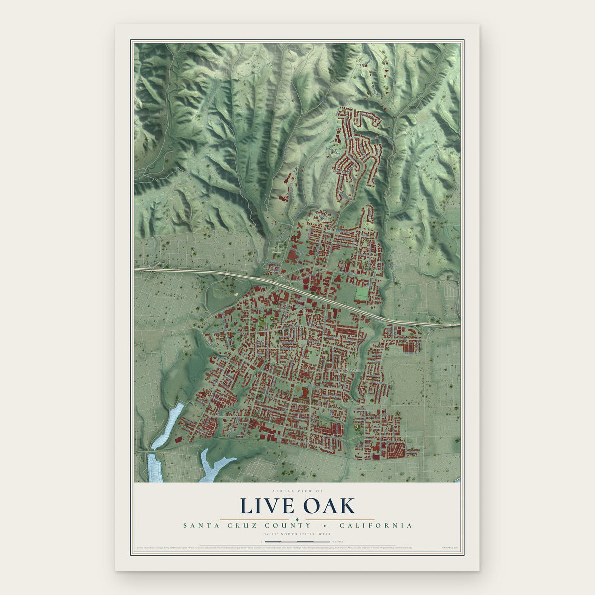
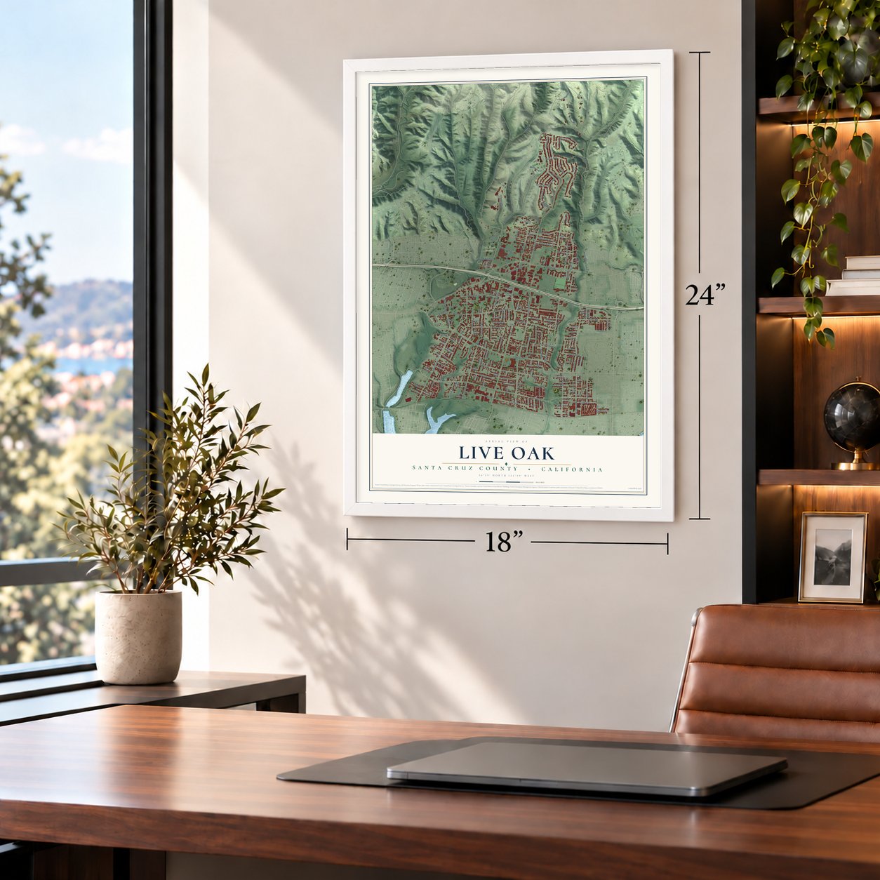
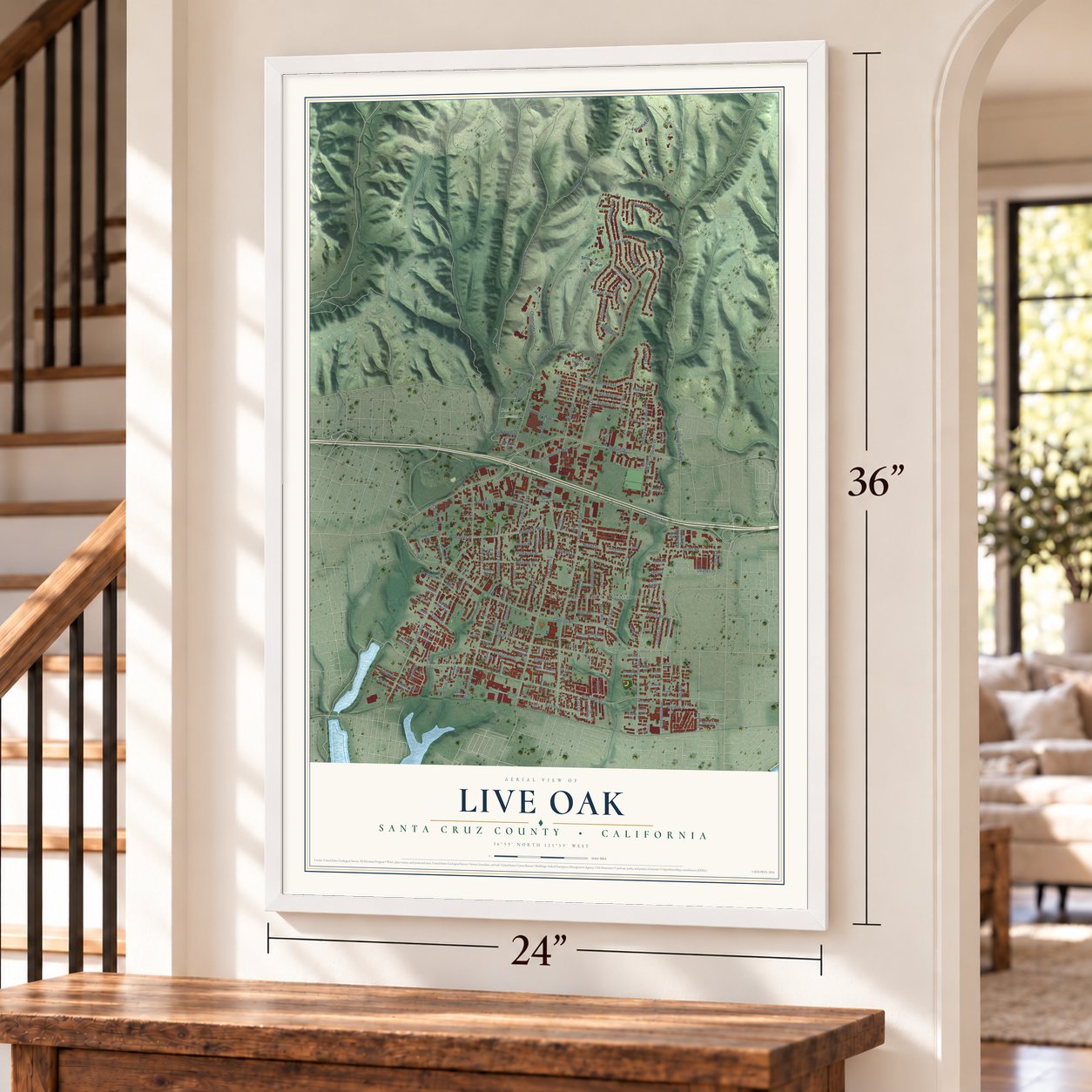
Live Oak, Santa Cruz County, California Map Art
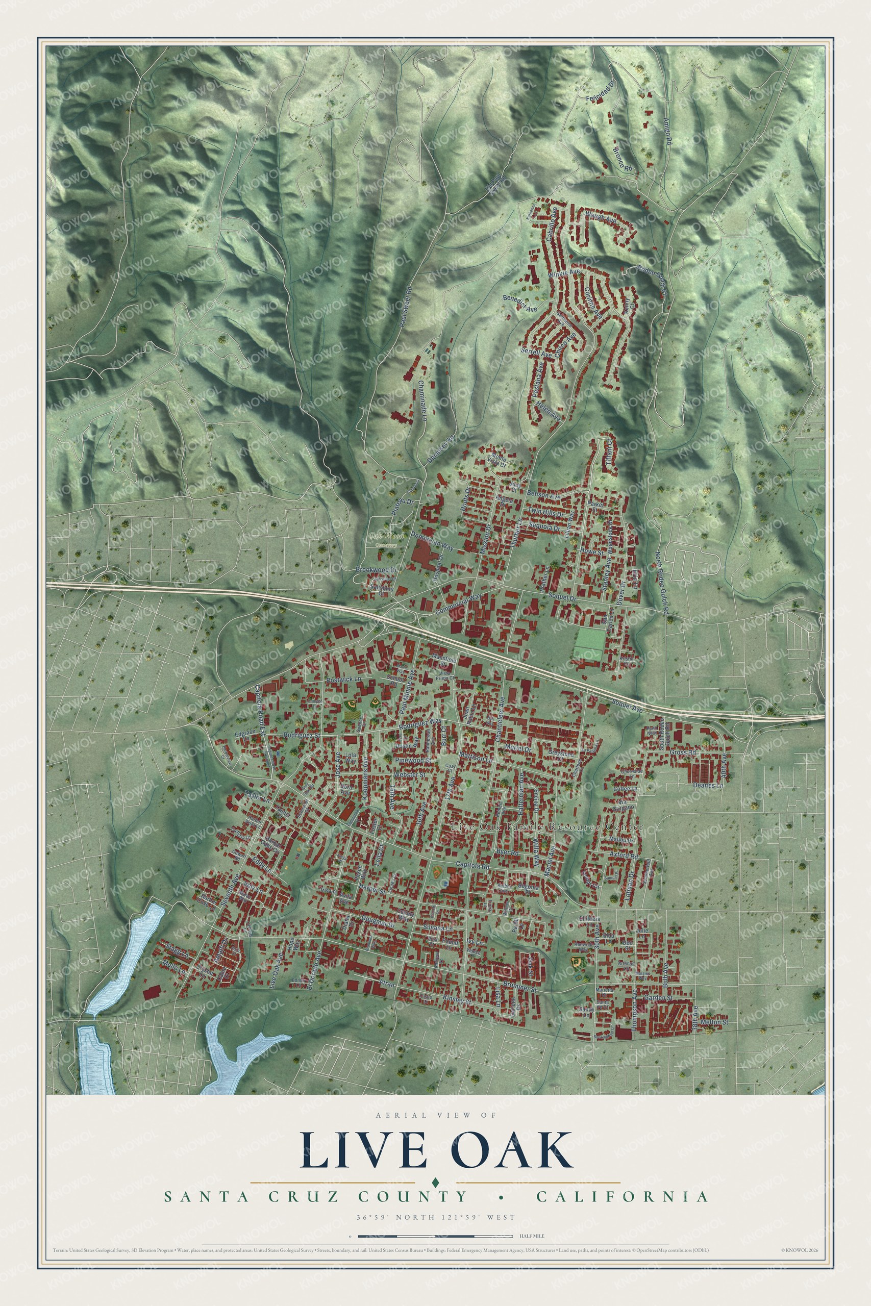
Building by building, with labeled streets and shaded relief.
12" x 18" Archival Matte Print
A Map of Home. A Work of Art.
Explore Live Oak, Santa Cruz County, California from a whole new perspective. Created using aerial imagery and detailed geographic data, this map captures Live Oak building by building, with labeled streets, familiar landmarks, and shaded topographical relief that highlights the natural contours of the landscape.
Combining modern data with the timeless character of a vintage atlas, this map is just as interesting up close as it is beautiful on the wall. Whether you grew up in Live Oak, spent memorable years there, or call it home today, this unique map is a great way to celebrate a place that means something to you. Zoom in on the preview to look for your street, and then order a print to put your memories on the wall.
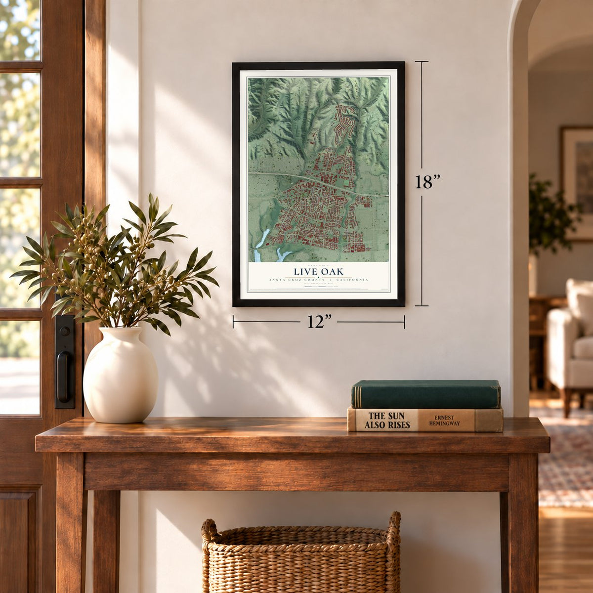
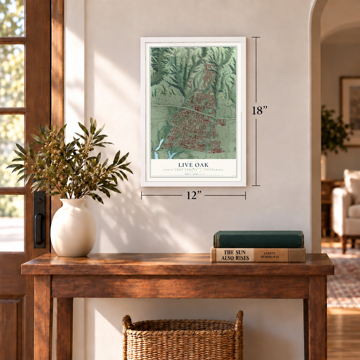
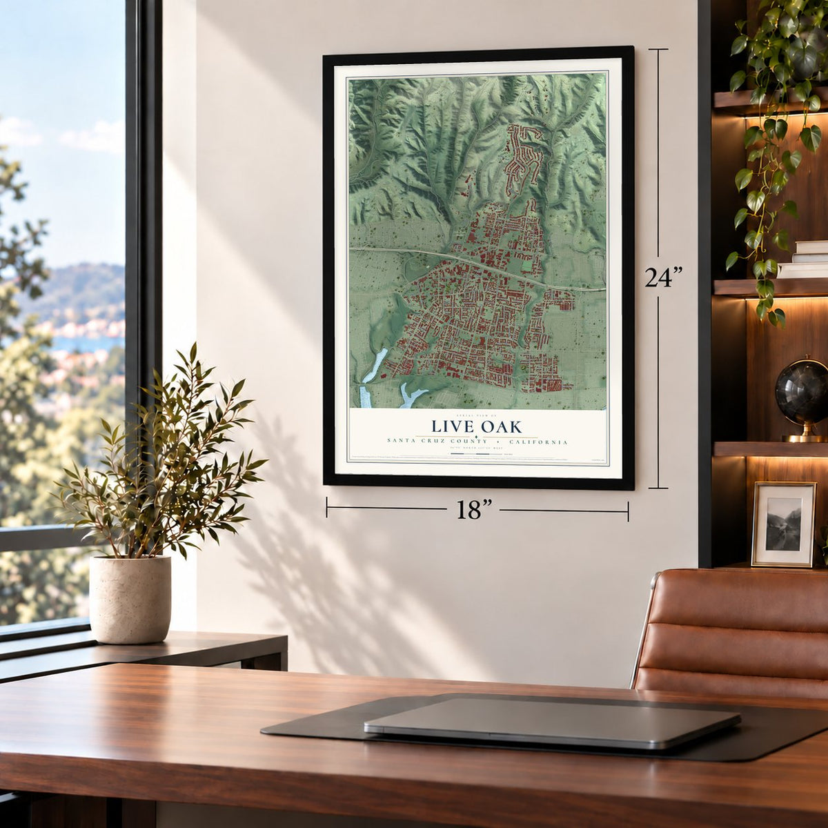
Three ways to hang it
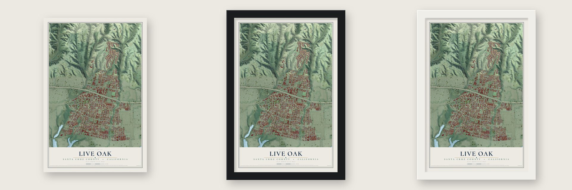
Unframed archival matte, a black wood frame or a white wood frame.
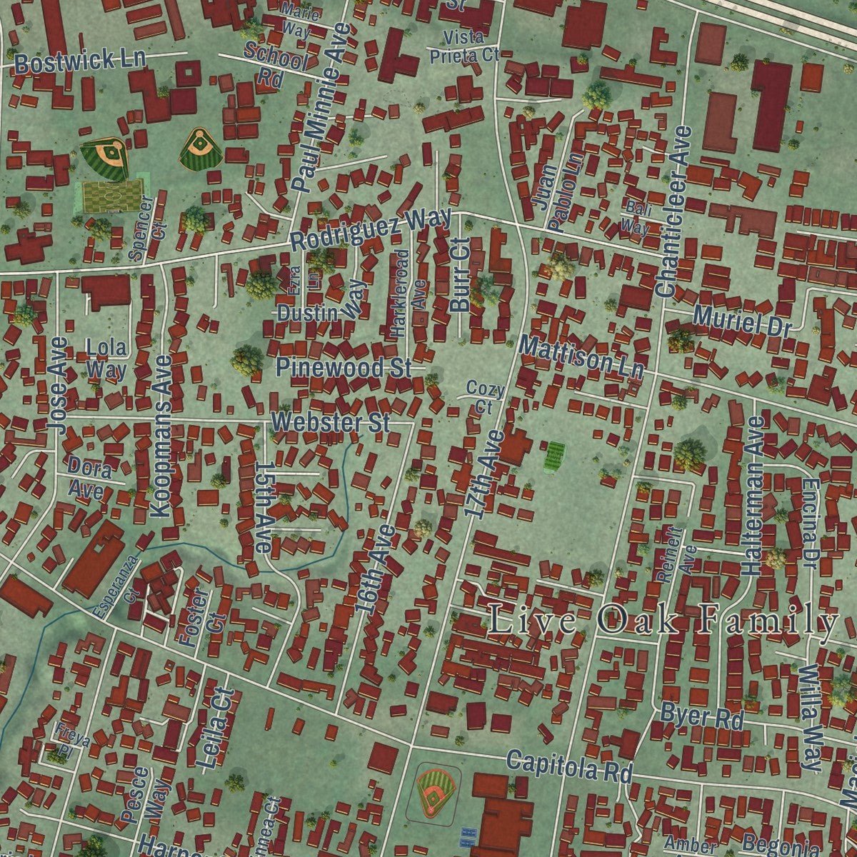
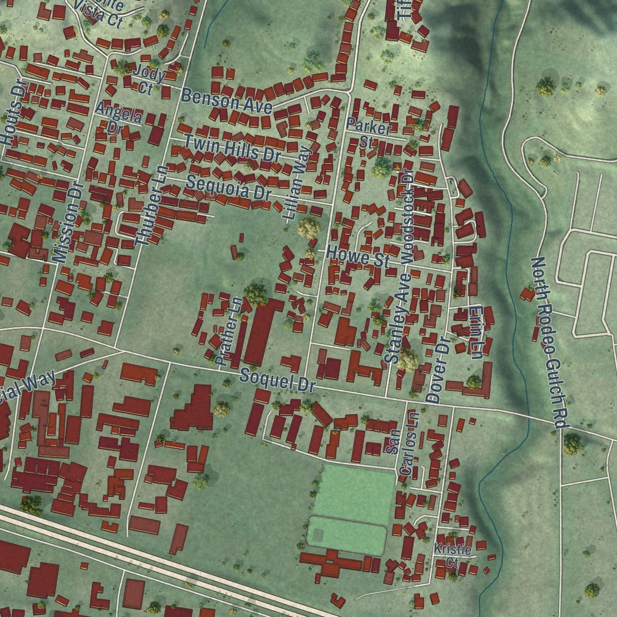
Up close
Geography Worth Displaying
This map was created using accurate cartographic data and authoritative geographic sources, including the U.S. Geological Survey and the Census Bureau. The map brings together terrain, waterways, roads, and building detail. The majority of the streets are labeled, houses are accurately depicted, and the topography is derived from government sources. Combining local data with carefully composed color and shading leads to this beautifully detailed Live Oak artwork for your wall.
Rather than simply showing street outlines, we’ve included as many of the street names as we could reasonably fit on the map while keeping their names legible. Zoom in on the high resolution preview to see exactly what’s on the map. We truly set out to create a statement piece for anyone who loves Live Oak. So whether it’s for you, or a gift for someone you love, we hope this map of Live Oak brings back fond memories.
Read the story behind this map of Live Oak, Santa Cruz County, California from 2026.
Find your street
Names on the Live Oak map
Every name below is printed on this map. Look for your street, your school, the park where you played, or the pond down the road.
Places and landmarks2
- Live Oak Family Resource Center
- Oak Wood Cemetery
Streets and roads181
- Capitola Road Extension
- Winkle Avenue
- Plateau Drive
- Bronco Road
- Soquel Avenue
- Brommer Street
- Paul Sweet Road
- 17th Avenue
- Capitola Road
- North Rodeo Gulch Road
- Chanticleer Avenue
- Thurber Lane
- Seventh Avenue
- Soquel Drive
- Mattison Lane
- Harper Street
- Rodriguez Street
- Rodriguez Way
- Amigo Road
- Mission Drive
- 30th Avenue
- Cabrillo Avenue
- El Dorado Avenue
- Gross Road
- Benson Avenue
- Kinsley Street
- Bostwick Lane
- Thompson Avenue
- Commercial Way
- Chaminade Lane
Show all 181 streets
- Jose Avenue
- Dempsey Road
- Dover Drive
- Waugh Avenue
- Maciel Avenue
- Lotman Drive
- Webster Street
- Rodeo Gulch Court
- Paul Minnie Avenue
- Pestana Avenue
- Halterman Avenue
- 16th Avenue
- 15th Avenue
- Bulb Avenue
- Dominican Way
- Axford Road
- Koopmans Avenue
- Felicidad Drive
- Dougmar Drive
- Muriel Drive
- Sequoia Drive
- Benedict Avenue
- Garden Street
- Byer Road
- Silvana Lane
- Live Oak Avenue
- Corinne Avenue
- Stanley Avenue
- Twin Hills Drive
- Chirco Avenue
- Eddy Lane
- Howe Street
- Atran
- Houts Drive
- Brookwood Drive
- 38th Avenue
- Amalfi Drive
- Pinewood Street
- Volz Lane
- Stagg Lane
- Tiffani Court
- Serrell Avenue
- Willa Way
- Deanes Lane
- Helen Avenue
- Melton Street
- Lisa Lane
- Burr Court
- 40th Avenue
- Mello Lane
- Taylor Lane
- Erin Lane
- Leila Court
- Oak Street
- Ivy Lane
- Harbor Oaks Circle
- Salisbury Court
- Encina Drive
- Lola Way
- Monte Vista Court
- Leotar Circle
- Hospital Drive
- Cable Court
- Dustin Way
- Woodstock Drive
- Old Paul Sweet Road
- Avila Avenue
- Malibu Drive
- South Rodeo Gulch Road
- Pound Lane
- Juan Pablo Lane
- Darlene Drive
- Edgrace Lane
- San Carlos Lane
- Greystone Court
- Harbor Cove Lane
- School Road
- Lillian Way
- Via Gargano
- Prather Lane
- Childers Lane
- Crystal Lane
- Coffee Lane
- Julie Lane
- Kenny Court
- Mansfield Street
- Colony Way
- Parker Street
- Pa-Mi Lane
- Begonia Place
- Tanner Court
- Pesce Way
- Sandy Lane
- Jody Court
- Foster Court
- Dora Avenue
- Angela Drive
- Diana Drive
- Elda Lane
- Iris Lane
- Dee Street
- Hope Way
- Reinelt Avenue
- Cambria Lane
- Germaine Avenue
- Harkleroad Avenue
- Vista Prieta Court
- Sommerfeld Avenue
- Charlene Lane
- Manor Way
- Churnside Lane
- Renwick Way
- Schooner Court
- Linnea Court
- Fenn Way
- Edmar Lane
- Spencer Court
- Marietta Court
- Cisco Lane
- Cowart Road
- Harbor Vista Lane
- Artimus Lane
- Andrew Lane
- Kristie Court
- Venice Drive
- Willow Court
- Tricia Lane
- Amber Avenue
- Santa Fe Court
- Cozy Court
- Rina Court
- Capitola Road Extended
- Esperanza Court
- Salisbury Drive
- Buckingham Lane
- Katherine Lane
- Captains Court
- Brommer Way
- La Paloma Lane
- Harborview Court
- Samuel Place
- California
- Ezra Lane
- Grey Seal Road
- Marie Way
- Margies Way
- Onorato Lane
- Bianchi Lane
- Bali Way
- Freya Place
- Anzio Court
Names are listed as they appear on the printed map. Zoom into the product photos to find them.
About Live Oak, Santa Cruz County, California
Live Oak is a community of 17,038 people in Santa Cruz County, between the cities of Santa Cruz and Capitola. Awaswas-speaking Ohlone people lived on this land for several thousand years. After Mission Santa Cruz was founded in 1791, Spanish settlers from the pueblo of Villa de Branciforte grazed their cattle and horses here on shared common land. Governors then split the area between two brothers, Alejandro and Francisco Rodriguez, in 1834 and 1837.
Gold was found in California in 1848, and statehood followed in 1849. Legal fights then passed the brothers' land to a handful of settler farmers, who grew wheat, oats and barley. In 1872 the farmers opened a small schoolhouse. They named it the Live Oak School for the evergreen oaks that grow across the area, and the school district still keeps a facility on that spot, now the corner of 17th Avenue and Capitola Road.
- Chicken ranches from 1910Around 1910 Frank and David Wilson, brothers who sold real estate in Santa Cruz, bought several old wheat farms and divided them into long, narrow lots, usually 2.5 acres. Buyers got the parts to build a small two-bedroom house plus one or two large coops holding 500 or 1,000 birds, and a feed mill followed. Early in the Great Depression egg prices crashed, and in 1931 Pullorum Disease and Coccidiosis swept the coops.
- Callas, freesias and begoniasAfter fifty years of wheat and oats, the soil was worn out. Farmers switched to fruits and vegetables, but those crops needed too much water, and the farms failed. A bulb nursery near 17th Avenue and East Cliff Drive grew callas, narcissus, freesias and begonias. Begonia nurseries did well through the 1940s and into the 1950s.
- Numbered streets, no cityIn the 1950s Live Oak was turning into a suburb of Santa Cruz. Its north-south streets got numbers running west to east, because people expected Santa Cruz to annex the area. That never happened. A push to make Live Oak its own city was also dropped, since services would cost too much. In the 1970s Capitola took in the busy shopping district along 41st Avenue, and Santa Cruz County still governs Live Oak.
- 17th Avenue as Main StreetLive Oak has no downtown. Its public life gathers on 17th Avenue, on the stretch from Highway 1 down to East Cliff Drive, where you'll find schools, the Grange Hall, the fire station, a sheriff's office, the Family Swim Center and most local businesses.
Keep exploring California
Live Oak is one of 1,990 California towns we've mapped. Every dot on the map is a print of its own.
The search covers every state, California first.
Near Live Oak
Order 2 or more town maps and save 10%. Shown in the size and finish you picked above, so they hang as a set.
- Capitola 12" x 18" / Archival Matte Print $39.99
- Twin Lakes 12" x 18" / Archival Matte Print $39.99
- Pleasure Point 12" x 18" / Archival Matte Print $39.99
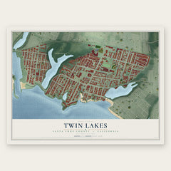

More maps nearby: Soquel, Pasatiempo, Santa Cruz, Seacliff and Paradise Park.
The art of mapping a place
How This Map Was Made
Real places. Remarkable detail. Discover the layers that turn geographic data into a map of home.

The view from above
Aerial imagery reveals the character of the land: woodland, open fields, and the patterns of a place.

The shape of the land
Elevation data brings hills, valleys, and subtle changes in the landscape into view.

The details of home
Roads, waterways, and building footprints come together to make the map feel unmistakably local.

Geography becomes art
Considered color, shading, and typography bring the layers together in a map made for your wall.


Process illustrated with Mendon, Massachusetts. Aerial imagery: USDA NAIP. Terrain: USGS 3D Elevation Program. Map details and finished artwork: KNOWOL.
The Details
About This Print
Choose an archival matte print, or a black or white Ayous wood frame. The archival matte print is unframed.
Select your size and finish above to see the matching product image and price.
Materials & Craftsmanship
A contemporary map with the character of a classic atlas, printed on archival matte paper. Optional frames are made from Ayous wood.
Your printed map does not include the watermark shown in the full-map preview.
Shipping & Delivery
Free shipping within the United States. Every print is made to order in the USA.
Buying a gift? Add a note in your cart and we'll include it. We never put prices in the package.
Prints ship within 2 to 3 business days. Allow 7 to 10 days total from ordering for delivery. Timing may vary during holidays or periods of high order volume.
Read our shipping policy.
Returns and damaged prints
Each print is made to order. Change-of-mind refunds are not available after production.
If your print arrives damaged, misprinted or incorrect, contact support@knowol.com within 30 days of receiving it. Include your order number, photos and a description of the issue.
Read our full refund and replacement policy. For questions about your order, email support@knowol.com.