
Search for another town



Free U.S. delivery 7 to 10 days after you order
Long Beach, California Map Art
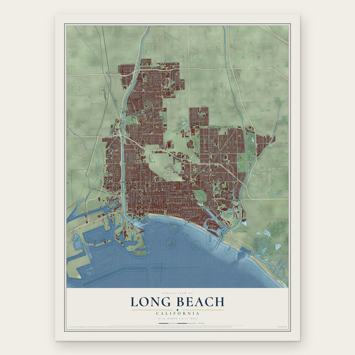
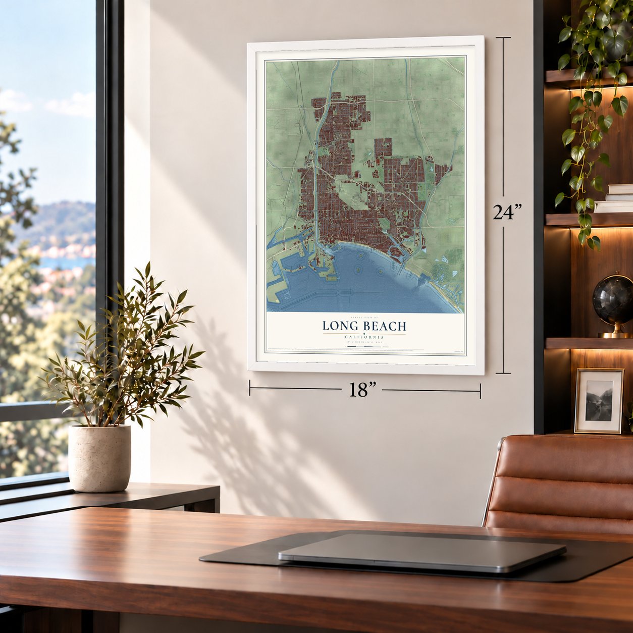
A new map of Long Beach, California, made in 2026 and printed to order on thick archival matte paper.
12" x 18" Archival Matte Print
A Map of Home. A Work of Art.
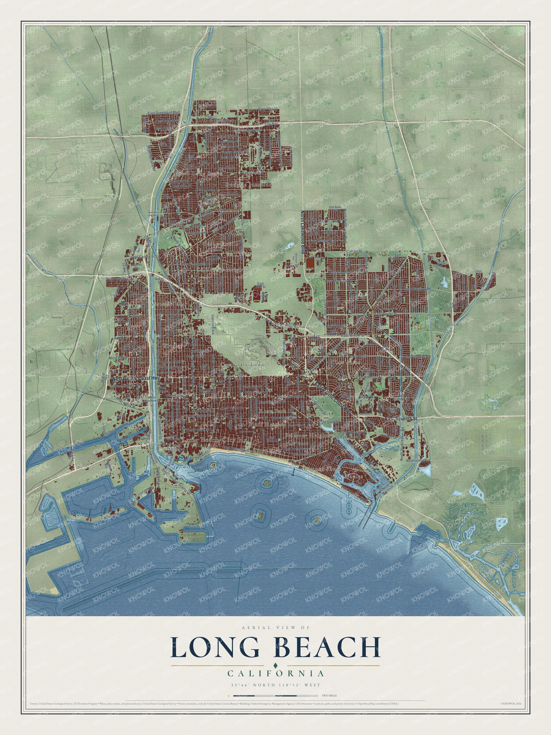
Explore Long Beach, California from a whole new perspective. Created using aerial imagery and detailed geographic data, this map captures Long Beach building by building, with labeled streets, familiar landmarks, and shaded topographical relief that highlights the natural contours of the landscape.
Combining modern data with the timeless character of a vintage atlas, this map is just as interesting up close as it is beautiful on the wall. Whether you grew up in Long Beach, spent memorable years there, or call it home today, this unique map is a great way to celebrate a place that means something to you. Zoom in on the preview to look for your street, and then order a print to put your memories on the wall.
Three ways to hang it
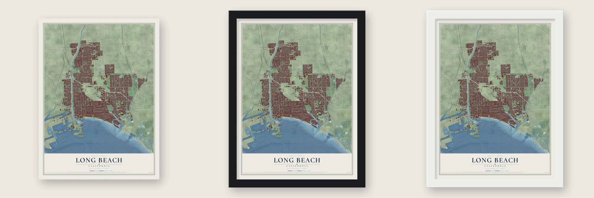
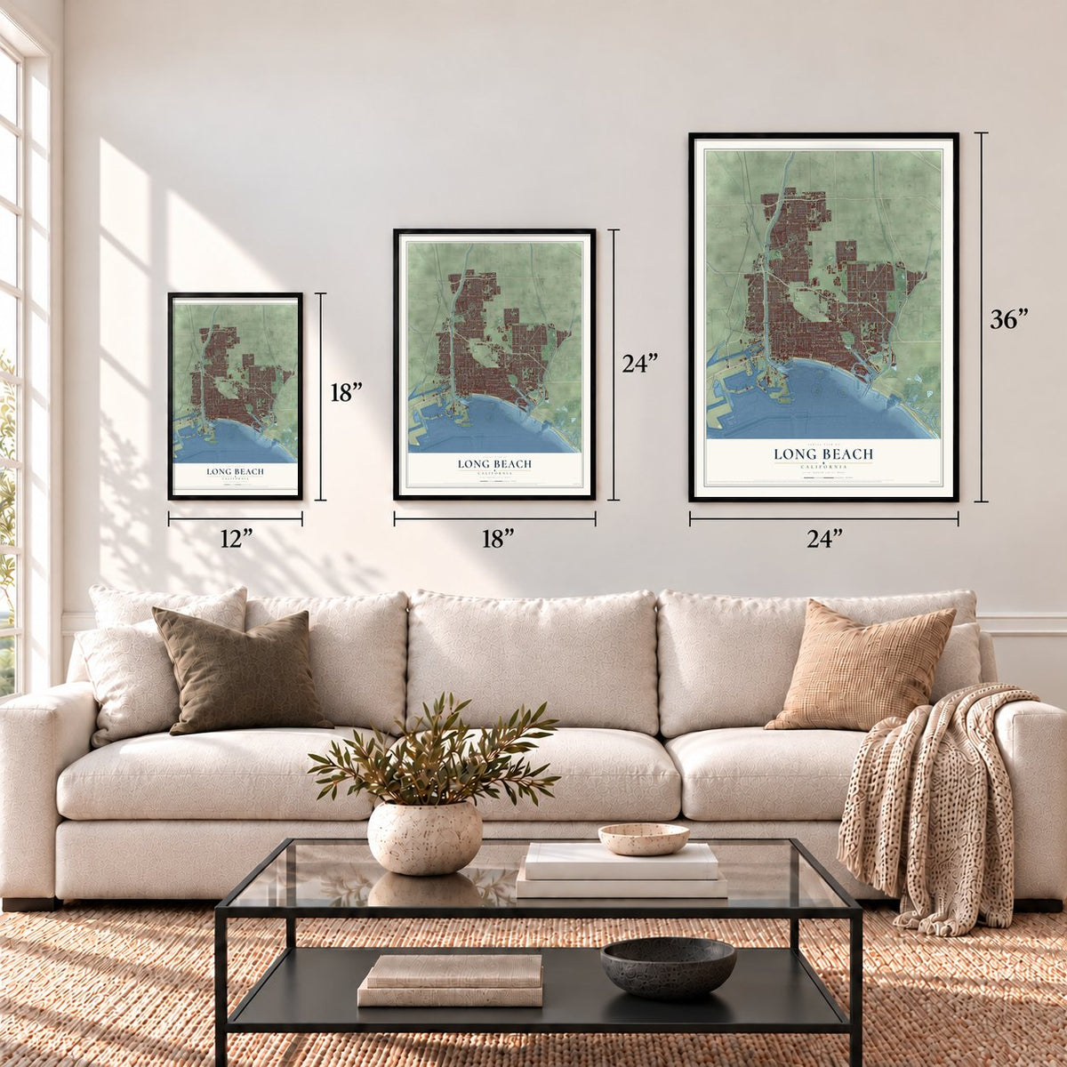
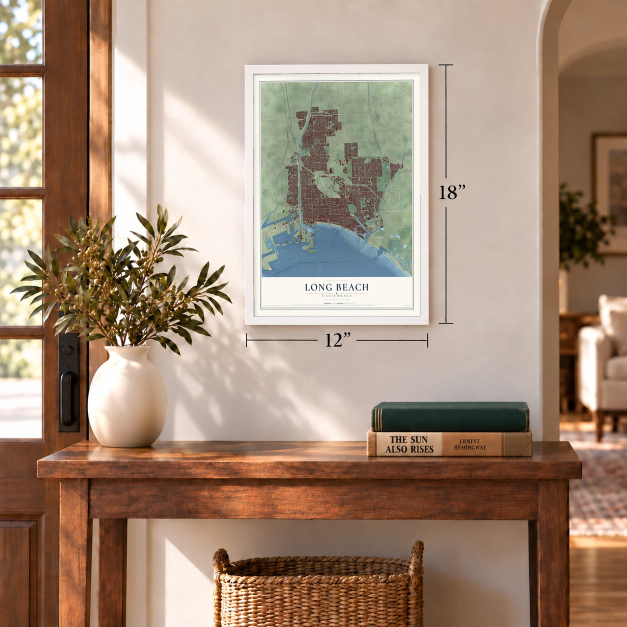
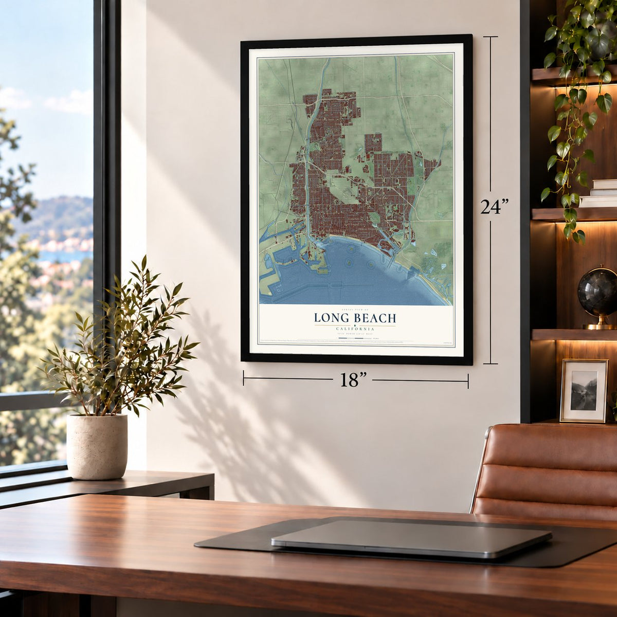
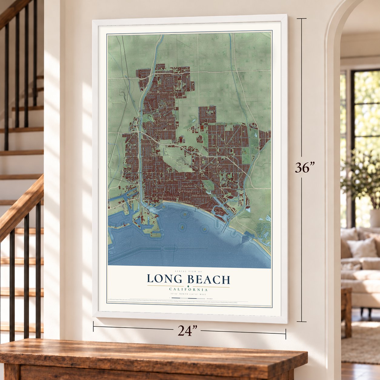
Unframed archival matte, a black wood frame or a white wood frame.
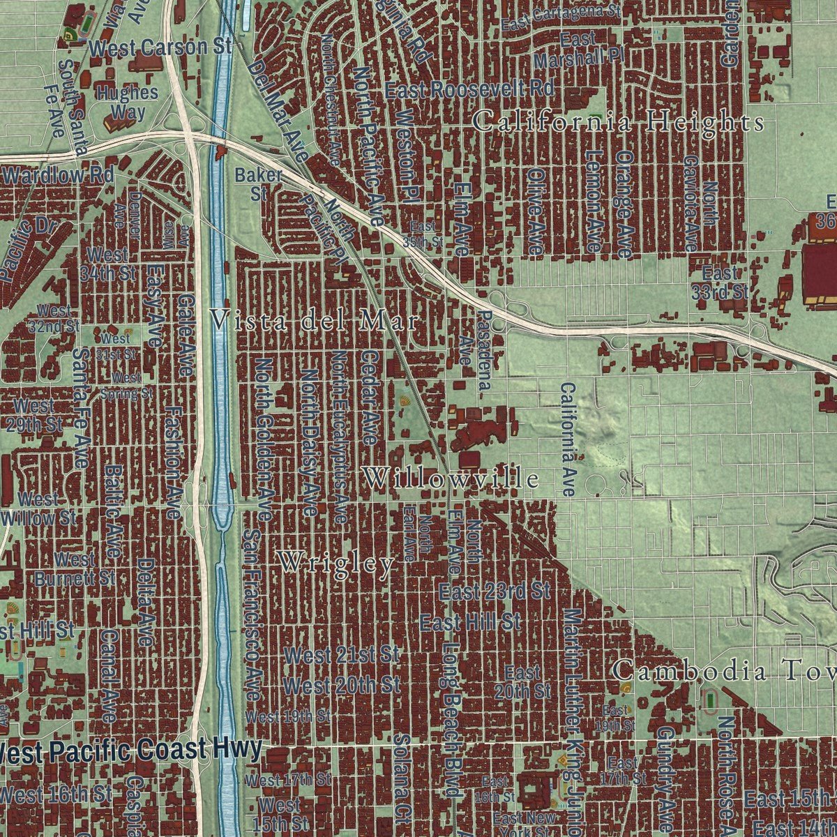
Up close
Geography Worth Displaying
This map was created using accurate cartographic data and authoritative geographic sources, including the U.S. Geological Survey and the Census Bureau. The map brings together terrain, waterways, roads, and building detail. The majority of the streets are labeled, houses are accurately depicted, and the topography is derived from government sources. Combining local data with carefully composed color and shading leads to this beautifully detailed Long Beach artwork for your wall.
Rather than simply showing street outlines, we’ve included as many of the street names as we could reasonably fit on the map while keeping their names legible. Zoom in on the high resolution preview to see exactly what’s on the map. We truly set out to create a statement piece for anyone who loves Long Beach. So whether it’s for you, or a gift for someone you love, we hope this map of Long Beach brings back fond memories.
Read the story behind this map of Long Beach, California from 2026.

About Long Beach, California
Long Beach is a city of 466,742 people in Los Angeles County, about 20 miles south of downtown Los Angeles. Long before any town stood here, the Tongva lived along this coast. Their village of Povuu'nga was a trading center and the place where they believed their people first came into the world. In 1784 Spain's King Carlos III gave the land to the soldier Manuel Nieto, and Rancho Los Cerritos and Rancho Los Alamitos were later carved from his grant.
Juan Temple, who had come from New England in 1827, bought Rancho Los Cerritos in 1843 and raised cattle on it. In 1866 he sold it for $20,000 to Flint, Bixby & Company. Jotham Bixby, later called the "Father of Long Beach," ran the ranch, and in the 1870s it held as many as 30,000 sheep. Bixby sold 4,000 acres to William E. Willmore in 1880, but Willmore's farm town failed. The Los Angeles group that bought him out renamed it Long Beach, and the city was incorporated in 1897.
“Created in 1932 for the rowing events of the Xth Olympiad, the Stadium was the first manmade rowing course in the United States.”
- The Pike, 1902 to 1969From 1902 until 1969, the Pike drew bathers off the sand with food, games and rides. Its Sky Wheel was a double Ferris wheel, and the Cyclone Racer was its roller coaster. No beachside amusement zone on the West Coast was better known.
- Oil under Signal HillOil was found on Signal Hill in 1921, and Signal Hill soon became a city of its own. The Long Beach Oil Field, opened by the Alamitos #1 gusher, was the world's most productive field in the 1920s. In 1932 the even larger Wilmington Oil Field, most of it inside Long Beach, came into production and made the city famous as an oil town.
- The 1933 earthquakeA magnitude 6.4 earthquake struck in 1933 and killed 120 people across the region. Buildings of unreinforced masonry took the worst damage, schools above all.
- Douglas Aircraft from 1941Douglas Aircraft's largest plant was in Long Beach, and its first plane rolled out on December 23, 1941. During the war the plant built C-47 transports, B-17 bombers and A-20 attack bombers all at once. After mergers with McDonnell and then Boeing, it went on to build C-17 transports until it closed in 2015.
Find your street
Names on the Long Beach map
Every name below is printed on this map. Look for your street, your school, the park where you played, or the pond down the road.
Places and landmarks17
- Long Beach City Hall
- Belmont Heights
- Belmont Shore
- Bixby Knolls
- Bluff Heights
- Bluff Park
- California Heights
- Cambodia Town
- Cota
- Douglas Junction
- Los Altos
- Naples
Show all 17 places
- North Long Beach
- Rose Park
- Vista del Mar
- Willowville
- Wrigley
Streets and roads330
- North Lakewood Boulevard
- East Pacific Coast Highway
- East Seventh Street
- West Pacific Coast Highway
- West 20th Street
- West Ninth Street
- Shoreline Drive
- East Tenth Street
- East 23rd Street
- Temple Avenue
- Ximeno Avenue
- Park Avenue
- Atlantic Avenue
- Orange Avenue
- Cherry Avenue
- East Spring Street
- East Wardlow Road
- Walnut Avenue
- Linden Avenue
- North Bellflower Boulevard
- North Studebaker Road
- East Second Street
- Cedar Avenue
- East Willow Street
- Carson Street
- East Ocean Boulevard
- Cerritos Avenue
- Pacific Avenue
- Clark Avenue
- North Long Beach Boulevard
Show all 330 streets
- Locust Avenue
- Pine Avenue
- Palo Verde Avenue
- Myrtle Avenue
- East Sixth Street
- Long Beach Boulevard
- Gundry Avenue
- East Broadway
- Magnolia Avenue
- Lime Avenue
- East Fourth Street
- Gardenia Avenue
- Olive Avenue
- Nimitz Road
- Elm Avenue
- East Anaheim Street
- South Harbor Scenic Drive
- Lemon Avenue
- North Obispo Avenue
- North Rose Avenue
- North Los Coyotes Diagonal
- East 15th Street
- Woodruff Avenue
- Santa Fe Avenue
- Lewis Avenue
- North Redondo Avenue
- East 14th Street
- North Daisy Avenue
- East Artesia Boulevard
- Caspian Avenue
- East Eleventh Street
- Fashion Avenue
- North Golden Avenue
- East Eighth Street
- East Atherton Street
- Delta Avenue
- East Conant Street
- San Francisco Avenue
- East South Street
- Gale Avenue
- East Colorado Street
- De Forest Avenue
- East 68th Street
- East Vista Street
- Petaluma Avenue
- San Anseline Avenue
- West Wardlow Road
- East Stearns Street
- East Harding Street
- East 67th Street
- Easy Avenue
- East Monlaco Road
- Chestnut Avenue
- Stevely Avenue
- Lees Avenue
- Vuelta Grande Avenue
- Junipero Avenue
- East 56th Street
- Monogram Avenue
- Baltic Avenue
- Josie Avenue
- Martin Luther King Junior Avenue
- East San Antonio Drive
- Alamitos Avenue
- East 65th Street
- West 14th Street
- East Appian Way
- West Hill Street
- East 61st Street
- East 55th Street
- East Hill Street
- East 63rd Street
- Faust Avenue
- East 64th Street
- East 70th Street
- Faculty Avenue
- Downey Avenue
- Canal Avenue
- North Chatwin Avenue
- East Roosevelt Road
- Rose Avenue
- Karen Avenue
- Maine Avenue
- East Los Coyotes Diagonal
- North Pacific Avenue
- Stearns Street
- West 16th Street
- West Panorama Drive
- McNab Avenue
- Solana Court
- East 53rd Street
- Harbor Avenue
- West 21st Street
- Del Mar Avenue
- East 29th Street
- Pico Avenue
- Loynes Drive
- Alamo Court
- East Harvey Way
- Dawson Avenue
- East Arbor Road
- East 45th Street
- Volk Avenue
- East Greenleaf Boulevard
- East 46th Street
- Butler Avenue
- North Virginia Road
- East Eliot Street
- Federation Drive
- East Seaside Walk
- Hazelbrook Avenue
- Lama Avenue
- East Shoreline Drive
- East 68th Way
- Cover Street
- East Nardo Court
- South Susana Road
- West Carson Street
- East 28th Street
- Weston Place
- Pacific Drive
- Lomina Avenue
- East 71st Street
- Coke Avenue
- Halbrite Avenue
- Beach Drive
- Henry Ford Avenue
- California Avenue
- East Third Street
- North Gaviota Avenue
- North Elm Avenue
- East Fifth Street
- Knoxville Avenue
- Westminster Avenue
- Hackett Avenue
- North Loma Avenue
- East Parkcrest Street
- Oregon Avenue
- Brayton Avenue
- North Paramount Boulevard
- Market Street
- East 36th Street
- North Rutgers Avenue
- Mira Mar Avenue
- East 59th Street
- Tulane Avenue
- Falcon Avenue
- East Vernon Street
- Belmont Avenue
- West Willow Street
- West Anaheim Street
- Marber Avenue
- Argonne Avenue
- Daisy Avenue
- Kallin Avenue
- Molino Avenue
- East 20th Street
- Gondar Avenue
- East 60th Street
- West Burnett Street
- East Anaheim Road
- Carfax Avenue
- West 15th Street
- West Broadway
- Fidler Avenue
- Grand Avenue
- West 29th Street
- North Eucalyptus Avenue
- East Marshall Place
- Del Amo Boulevard
- East Los Arcos Street
- Nieto Avenue
- East Marina Drive
- White Avenue
- East Centralia Street
- East Silva Street
- Pasadena Avenue
- East Walton Street
- Cota Avenue
- East 67th Way
- East Marita Street
- West 34th Street
- Pomona Avenue
- South Pico Avenue
- Marna Avenue
- Julian Avenue
- Termino Avenue
- Lanai Street
- Pattiz Avenue
- South Santa Fe Avenue
- East El Jardin Street
- North Pacific Place
- Havana Avenue
- Queens Way
- Boathouse Lane
- Bixby Village Drive
- West Seaside Way
- Via Oro Avenue
- Foreman Avenue
- East 208th Street
- North Marina Drive
- Johnson Avenue
- Flint Avenue
- West 48th Street
- Lilly Avenue
- East 33rd Street
- Merriam Way
- Carrack Avenue
- Pine Road
- East Via Wanda
- East Campus Road
- Skipjack Avenue
- Silvera Avenue
- Baker Street
- Carson Boulevard
- Hughes Way
- East Smith Street
- Edison Avenue
- North Hidden Lane
- East Road
- Orchid Lane
- Hobson Avenue
- Arlotte Avenue
- Dovey Drive
- Airflite Way
- Inez Street
- Lido Lane
- Montair Avenue
- North Chestnut Avenue
- Iroquois Avenue
- Coronado Avenue
- East 17th Street
- Ostrom Avenue
- East Pageantry Street
- Roxanne Avenue
- West 19th Street
- Snowden Avenue
- West 17th Street
- West 32nd Street
- Prospect Avenue
- East Cartagena Street
- Kilroy Airport Way
- Val Verde Avenue
- Crystal Court
- Hathaway Avenue
- Euclid Avenue
- East New York Street
- East 45th Way
- Costa del Rey
- Ramillo Avenue
- East Osgood Street
- East Pavo Street
- East De Ora Way
- North Earl Avenue
- Transitional To Pico Avenue
- East Bixby Hill Road
- Airport Plaza Drive
- East Bort Street
- East Lido Lane
- 226th Street
- Denver Avenue
- West 53rd Street
- Almond Avenue
- Ely Avenue
- 39th Place
- East First Street
- Fanwood Avenue
- West Spring Street
- West Ocean Boulevard
- North Orizaba Avenue
- Gaviota Avenue
- East 16th Street
- East 19th Street
- West 31st Street
- Tevis Avenue
- Ohio Avenue
- North Atlantic Place
- West Del Amo Boulevard
- Mars Court
- East Metz Street
- East Florida Street
- East 35th Street
- Worsham Avenue
- East Ring Street
- East De Leon Street
- East Hellman Street
- East Sorrento Drive
- River Avenue
- Maury Avenue
- Harbor Scenic Way
- Magnolia Road
- Paradise Lane
- East Arbor Street
- Victoria Street
- East Lew Davis Street
- Orlena Avenue
- Bryant Drive
- Outer Way
- Wise Avenue
- 54th Place
Names are listed as they appear on the printed map. Zoom into the product photos to find them.
The art of mapping a place
How This Map Was Made
Real places. Remarkable detail. Discover the layers that turn geographic data into a map of home.

The view from above
Aerial imagery reveals the character of the land: woodland, open fields, and the patterns of a place.

The shape of the land
Elevation data brings hills, valleys, and subtle changes in the landscape into view.

The details of home
Roads, waterways, and building footprints come together to make the map feel unmistakably local.

Geography becomes art
Considered color, shading, and typography bring the layers together in a map made for your wall.


Process illustrated with Mendon, Massachusetts. Aerial imagery: USDA NAIP. Terrain: USGS 3D Elevation Program. Map details and finished artwork: KNOWOL.
The Details
About This Print
Choose an archival matte print, or a black or white Ayous wood frame. The archival matte print is unframed.
Select your size and finish above to see the matching product image and price.
Materials & Craftsmanship
A contemporary map with the character of a classic atlas, printed on archival matte paper. Optional frames are made from Ayous wood.
Your printed map does not include the watermark shown in the full-map preview.
Shipping & Delivery
Free shipping within the United States. Every print is made to order in the USA.
Buying a gift? Add a note in your cart and we'll include it. We never put prices in the package.
Prints ship within 2 to 3 business days. Allow 7 to 10 days total from ordering for delivery. Timing may vary during holidays or periods of high order volume.
Read our shipping policy.
Returns and damaged prints
Each print is made to order. Change-of-mind refunds are not available after production.
If your print arrives damaged, misprinted or incorrect, contact support@knowol.com within 30 days of receiving it. Include your order number, photos and a description of the issue.
Read our full refund and replacement policy. For questions about your order, email support@knowol.com.
Find your town
Looking for another city?
Find a map of home in our California collection, or any town in the country.
Nearby
Maps of towns near Long Beach
Know someone from one of these towns? Their map makes a great gift.
 Signal Hill
, California
From $39.99See the map
 Rossmoor
, California
From $39.99See the map
 Wilmington
, California
From $39.99See the map
More maps nearby: Lakewood, Seal Beach, Carson, Los Alamitos and Hawaiian Gardens.