
Search for another town

Free U.S. delivery 7 to 10 days after you order
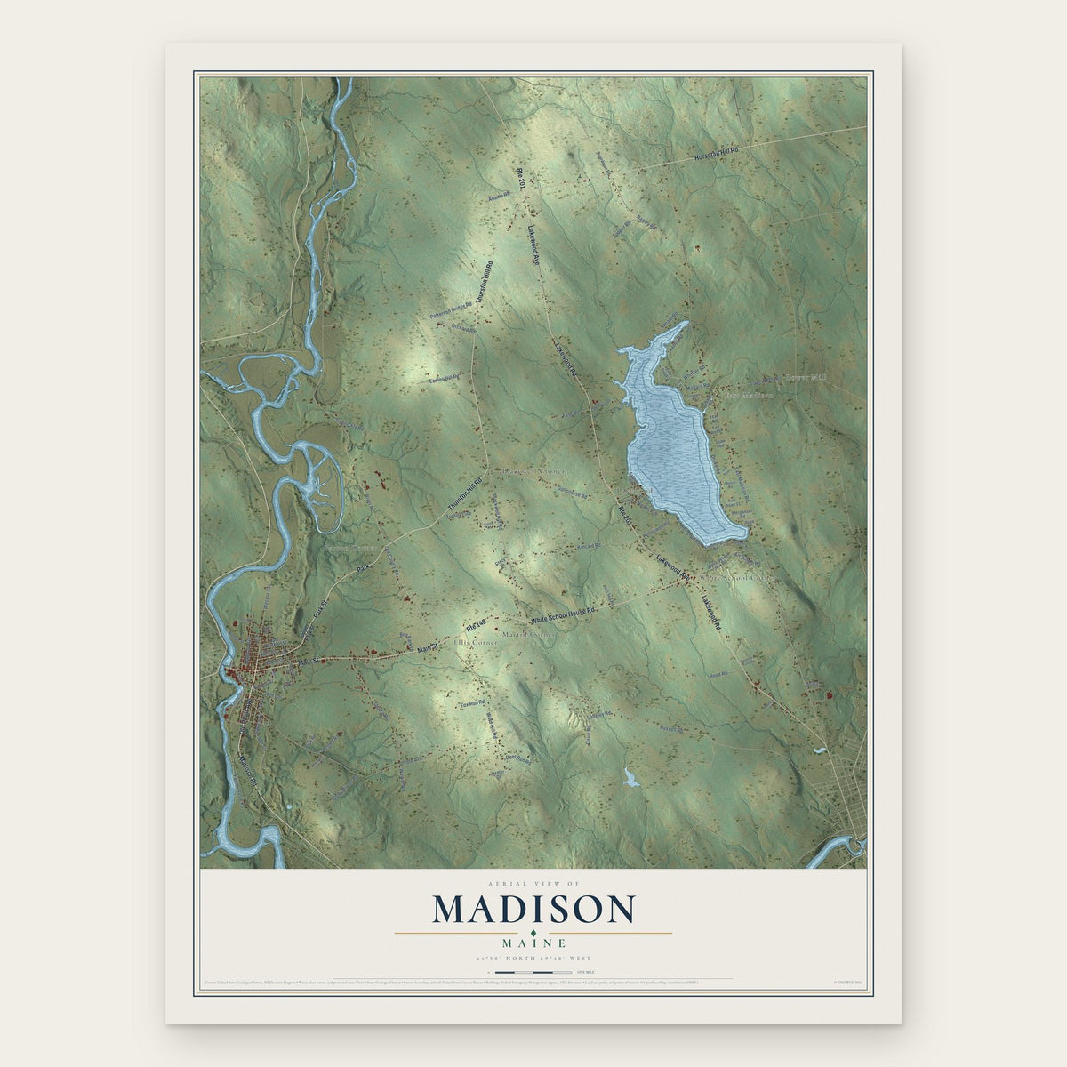
Madison, Maine Map Art
Building by building, with labeled streets and shaded relief.
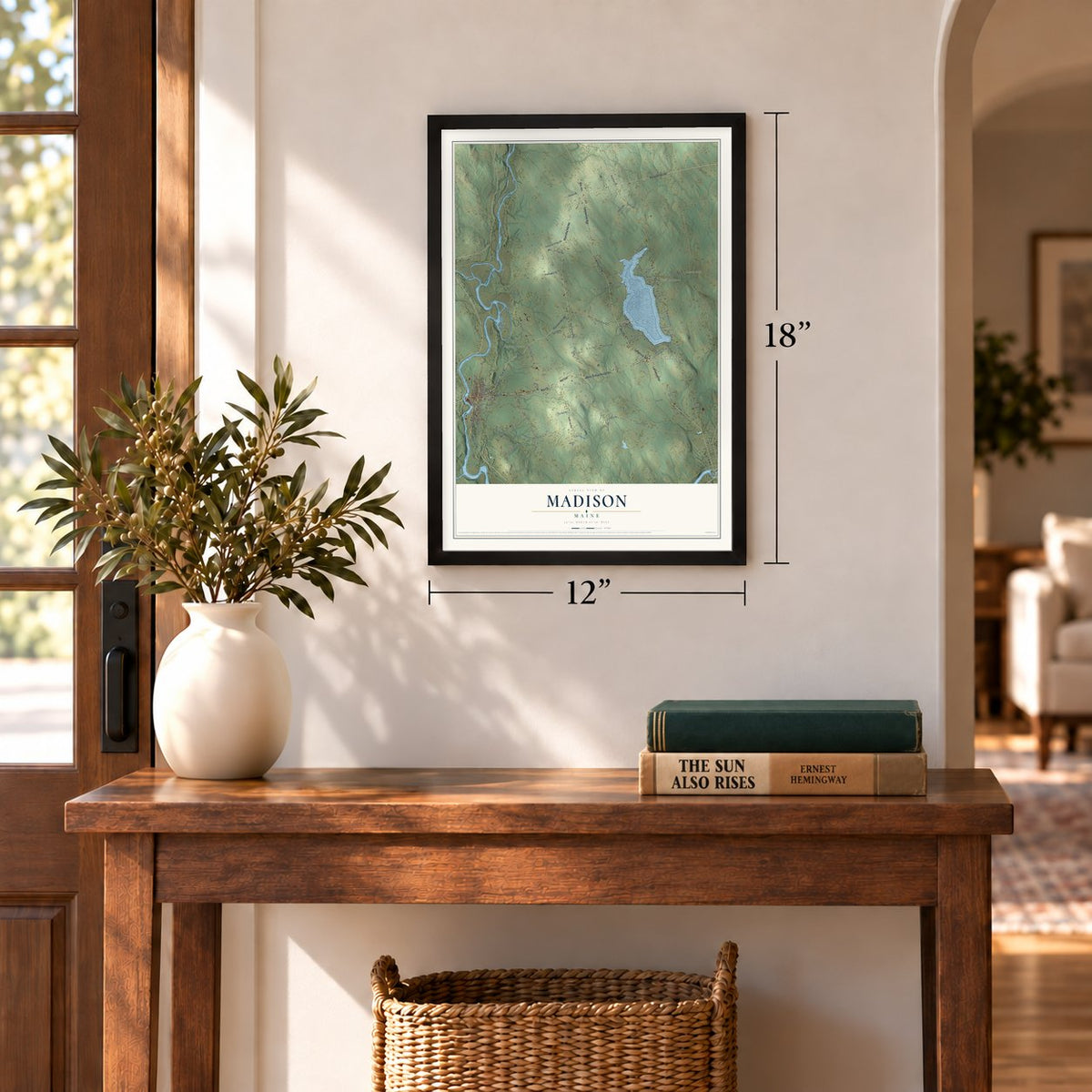
12" x 18" Archival Matte Print
A Map of Home. A Work of Art.
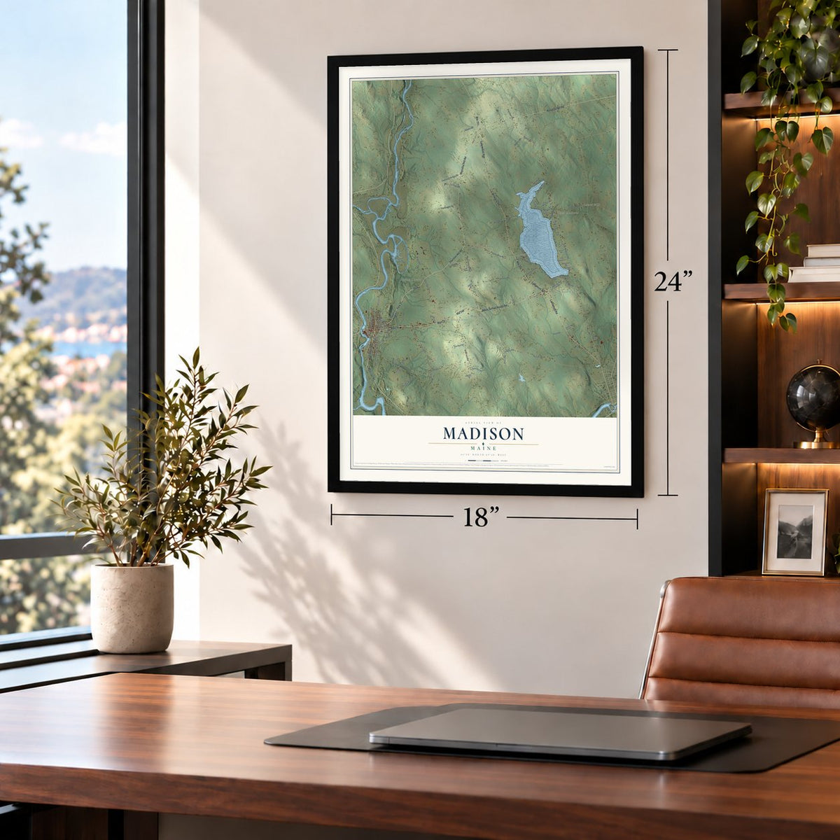
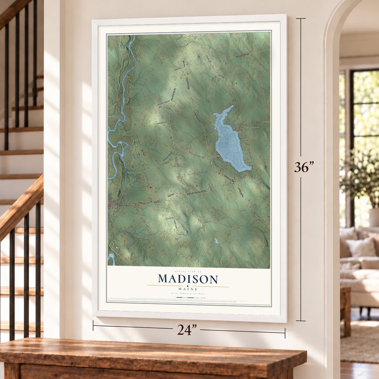
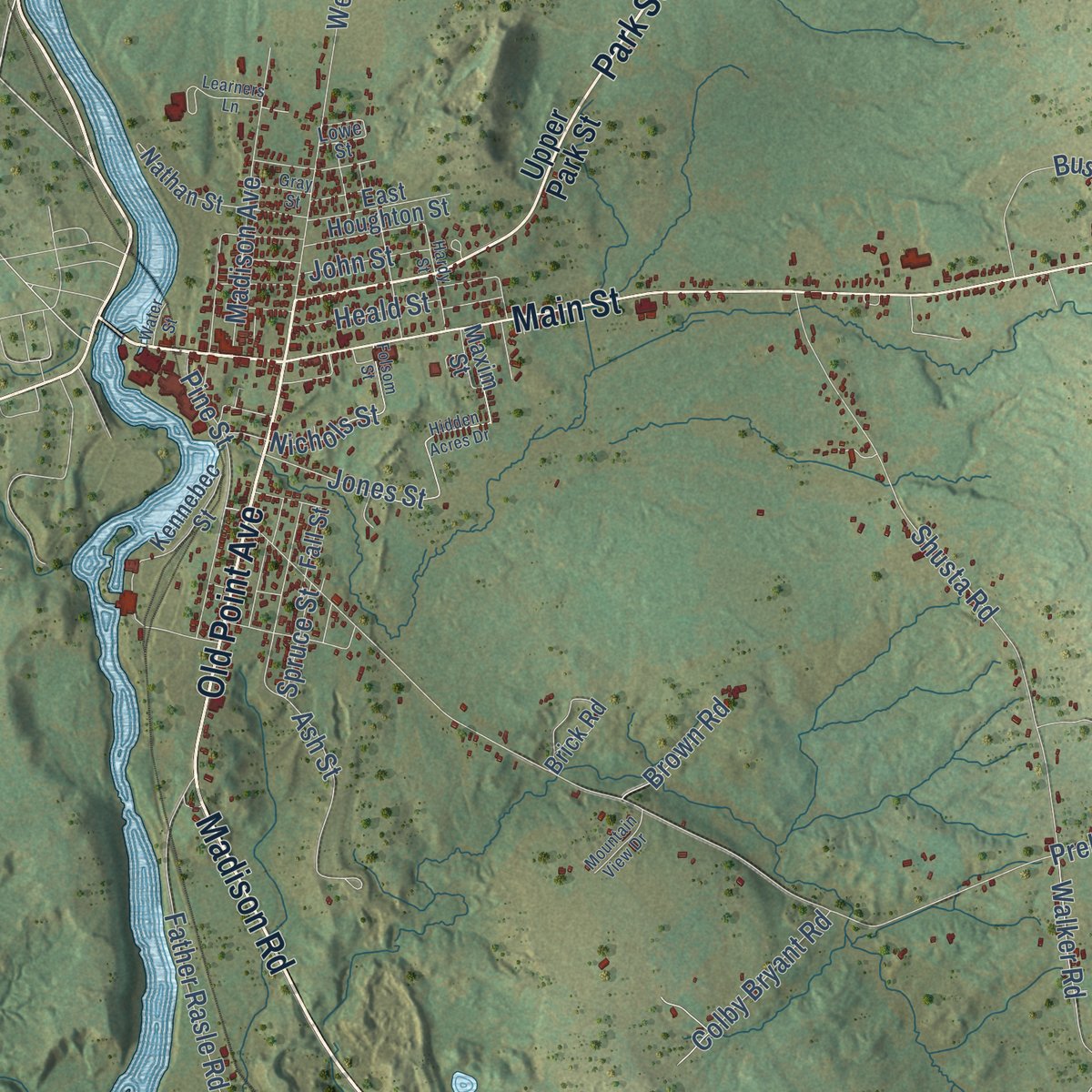
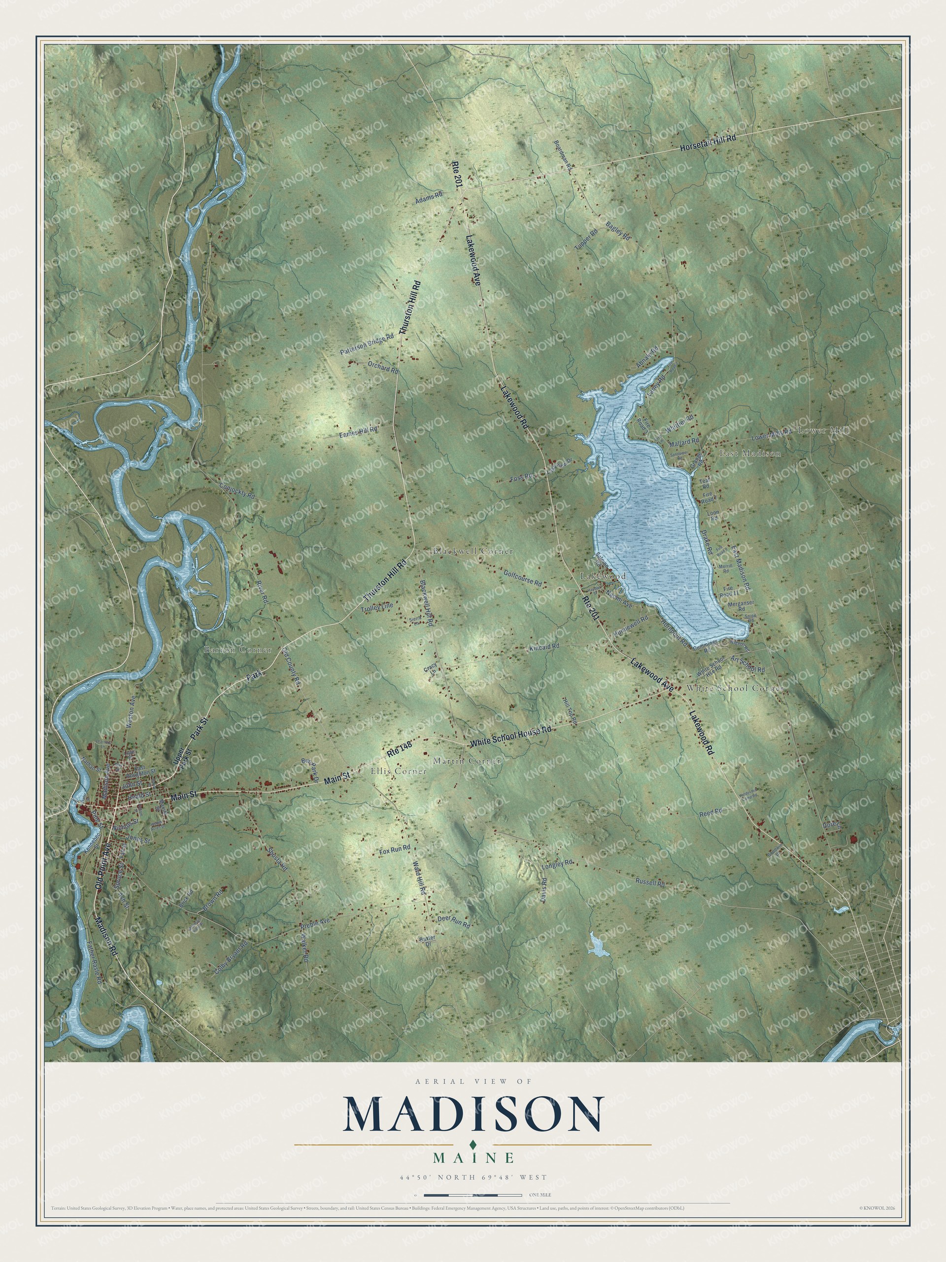
Explore Madison, Maine from a whole new perspective. Created using aerial imagery and detailed geographic data, this map captures Madison building by building, with labeled streets, familiar landmarks, and shaded topographical relief that highlights the natural contours of the landscape.
Combining modern data with the timeless character of a vintage atlas, this map is just as interesting up close as it is beautiful on the wall. Whether you grew up in Madison, spent memorable years there, or call it home today, this unique map is a great way to celebrate a place that means something to you. Zoom in on the preview to look for your street, and then order a print to put your memories on the wall.
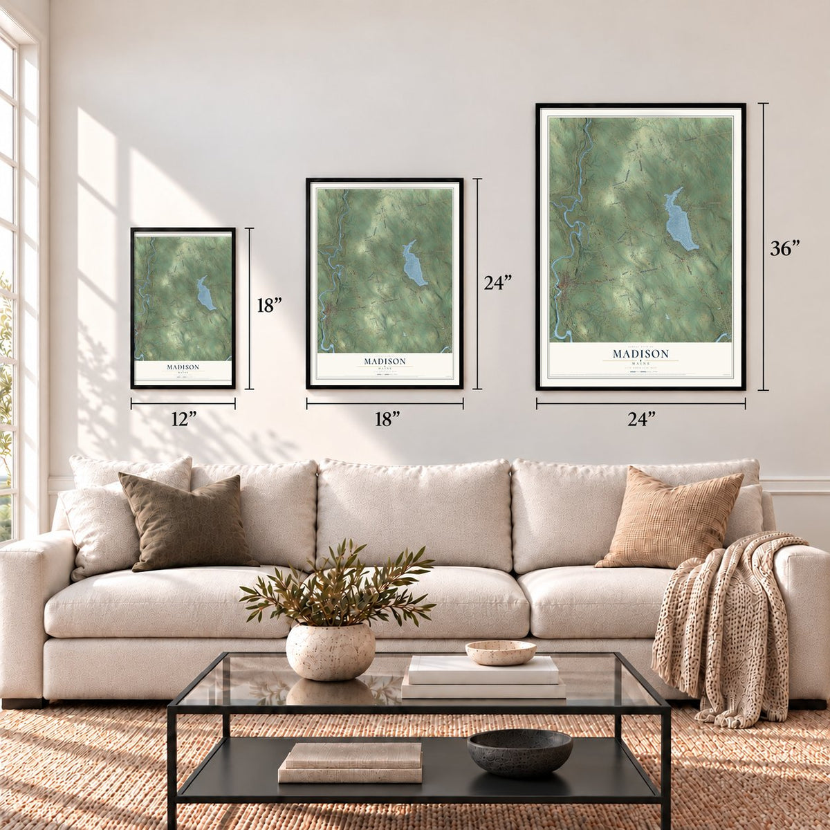
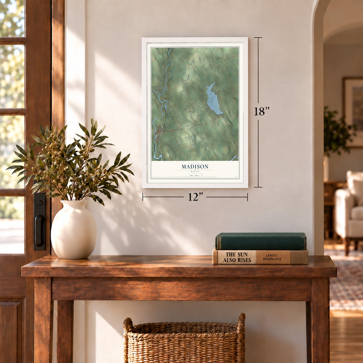
Three ways to hang it
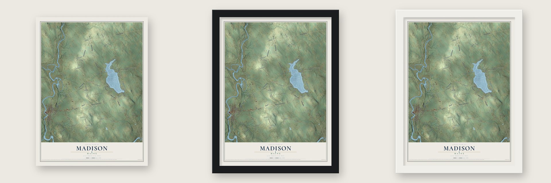
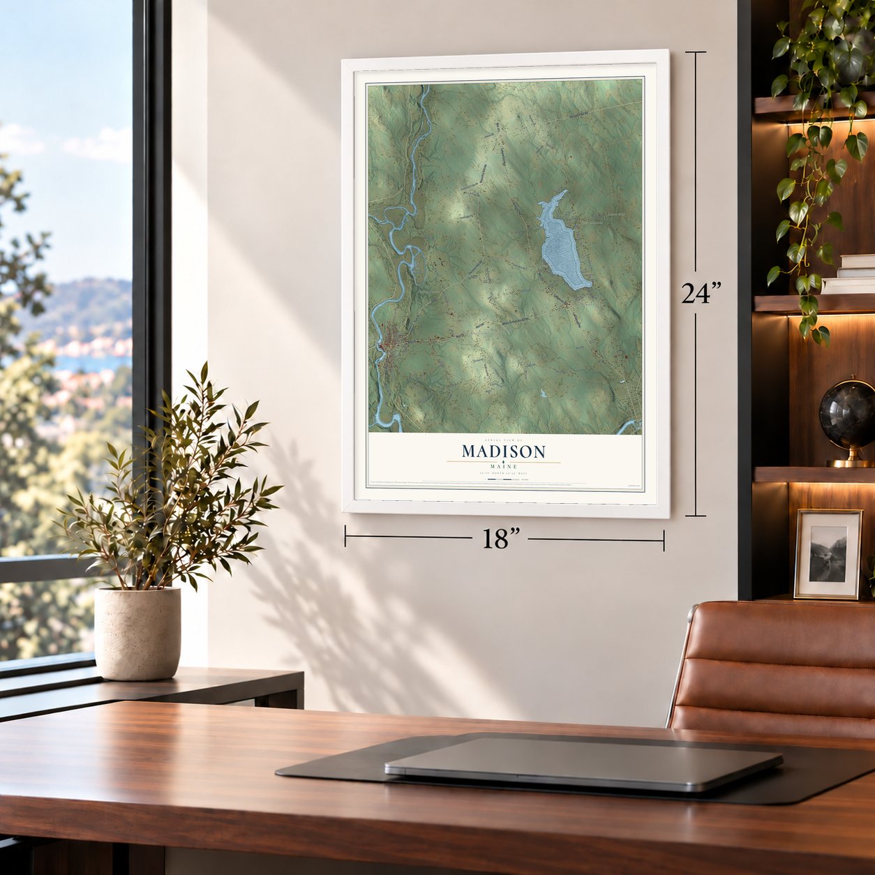
Unframed archival matte, a black wood frame or a white wood frame.
Up close
Geography Worth Displaying
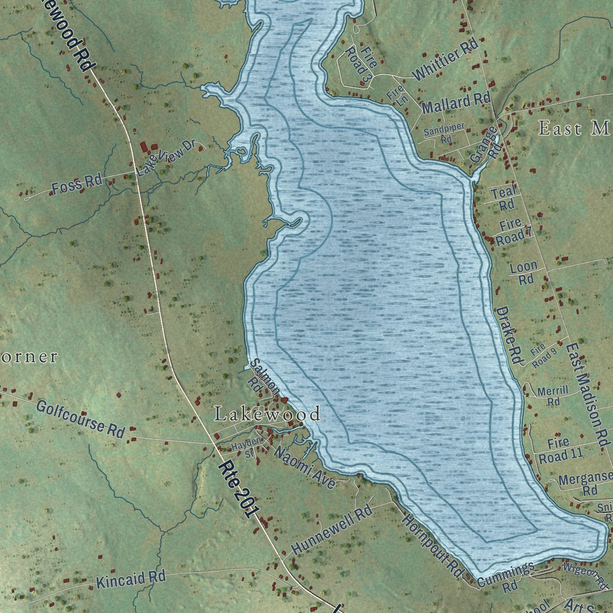
This map was created using accurate cartographic data and authoritative geographic sources, including the U.S. Geological Survey (USGS) and FEMA. The map brings together terrain, waterways, roads, and building detail. The majority of the streets are labeled, houses are accurately depicted, and the topography is derived from government sources. Combining local data with carefully composed color and shading leads to this beautifully detailed Madison artwork for your wall.
Rather than simply showing street outlines, we’ve included as many of the street names as we could reasonably fit on the map while keeping their names legible. Zoom in on the high resolution preview to see exactly what’s on the map. We truly set out to create a statement piece for anyone who loves Madison. So whether it’s for you, or a gift for someone you love, we hope this map of Madison brings back fond memories.
Explore the full map of Madison, Maine and read about the local places it shows.
Find your street
Names on the Madison map
Every name below is printed on this map. Look for your street, your school, the park where you played, or the pond down the road.
Places and landmarks9
- Lower Mill
- Ellis Corner
- Barron Corner
- East Madison
- White School Corner
- Blackwell Corner
- Martin Corner
- Lakewood
- Park
Streets and roads101
- Madison Road
- Park Street
- Route 148
- Thurston Hill Road
- Horsetail Hill Road
- Route 201
- Main Street
- Lakewood Avenue
- Lakewood Road
- White School House Road
- Old Point Avenue
- Old County Road
- Blackwell Hill Road
- Golfcourse Road
- Russell Road
- Hornpout Road
- Ash Street
- Whittier Road
- East Madison Road
- River Road
- Preble Avenue
- Ward Hill Road
- Shusta Road
- Kincaid Road
- Weston Avenue
- Bagley Road
- Hunnewell Road
- Lower Mills Road
- Longley Road
- Reed Road
Show all 101 streets
- Father Rasle Road
- Tupper Road
- Madison Avenue
- Laney Road
- Patterson Bridge Road
- Pine Street
- Eames Hill Road
- Bus Park Drive
- Davis Road
- Nichols Street
- Conjockty Road
- Foss Road
- Colby Bryant Road
- Drake Road
- Adams Road
- Mallard Road
- Art School Road
- Orchard Road
- Abnaki Road
- Jones Street
- Naomi Avenue
- Deer Run Road
- Trolley Line
- Fox Run Road
- Dore Lane
- Heald Street
- Walker Road
- Brown Road
- John Street
- Spruce Street
- Upper Park Street
- Maxim Street
- Cummings Road
- Fire Road 3
- White School Hse Road
- Kennebec Street
- Fire Road 11
- Lake View Drive
- Nathan Street
- Merganser Road
- East Houghton Street
- Boardman Road
- Brick Road
- Hill Top Road
- Salmon Road
- Cracy Lane
- Grange Road
- Baxter Drive
- Fire Road 7
- Fall Street
- Teal Road
- Loon Road
- Merrill Road
- Sierra Lane
- Wigeon Road
- Goodwin Drive
- Snipe Road
- Lowe Street
- Fire Lane
- Fire Road 2
- Fire Road 9
- Hidden Acres Drive
- Learners Lane
- Hardy Street
- Sandpiper Road
- Yonder Hill Camp Road
- Hayden Street
- Mountain View Drive
- Folsom Street
- Gray Street
- Water Street
Names are listed as they appear on the printed map. Zoom into the product photos to find them.
About Madison, Maine
Madison is a town of 4,726 people in Somerset County, on the Kennebec River. The Norridgewock, a band of the Abenaki, once farmed wide cleared fields here and fished the river, and French Jesuits kept a mission at their village on Old Point. Father Sebastien Rale became the missionary in 1694, and the English came to believe he was helping the tribe raid their settlements. British troops struck the village in 1705 and again in 1722, and both times Rale slipped away into the woods. On August 23, 1724, English forces attacked without warning and killed him along with 26 warriors, and 150 survivors fled north to Canada.
English colonists settled the land about 1773. Two years later Benedict Arnold led his troops through what was then Norridgewock Plantation on their march to Quebec, and surveyors laid out the land in 1791. The settlement was first called Norridgewock Falls, then Bernardstown for the Bernard family, who owned much of the land. When it was incorporated on March 7, 1804, the town took the name of President James Madison.
- Mills on a 90-foot dropAt Madison the Norridgewock Falls fall 90 feet within a mile, and that power drew industry. Four sawmills cut lumber from the surrounding forests, and in the 19th century small factories turned out carriages, window sash, blinds, doors and coffins. Once the railroad reached town in 1875, bigger mills followed: the first Madison Woolen Mill went up in 1881 near the bridge to Anson, and the company built a second mill close by in 1887.
- Paper from 1899 to 2016The Manufacturing Investment Company built a sulfite mill in 1890, but the business failed. The Great Northern Paper Company took it over in 1899 and rebuilt it to make wood pulp and paper. The woolen mills eventually closed, but the paper mill kept running as Madison Paper Industries until May 2016, when weak demand for supercalender paper and competition from Canada shut it down.
- A camp meeting turned theaterLakewood Theater began as a religious camp meeting building put up in 1882 beside Wesserunsett Lake. It became a skating rink in 1884 and started staging plays in 1898. Herbert Swett took over as manager in 1901 and built up the place, and by the mid-1920s Broadway shows tried out there, with Vincent Price, Ethel Barrymore and George M. Cohan on its stage. Since 1967 it has been Maine's official summer theatre.
- Maine's biggest buildingThe Backyard Farms greenhouse, finished in 2007, spreads over 24 acres in Madison. Measured by volume, it is the largest structure in the state of Maine.
Keep exploring Maine
Madison is one of 536 Maine towns we've mapped. Every dot on the map is a print of its own.
The search covers every state, Maine first.
Near Madison
Order 2 or more town maps and save 10%. Shown in the size and finish you picked above, so they hang as a set.
- North Anson 12" x 18" / Archival Matte Print $39.99
- Cornville 12" x 18" / Archival Matte Print $39.99
- Anson 12" x 18" / Archival Matte Print $39.99

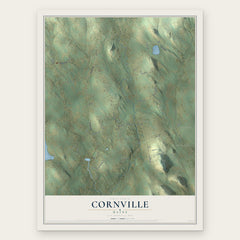
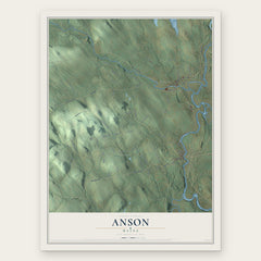
More maps nearby: Solon, Norridgewock, Skowhegan, Embden and Starks.
The art of mapping a place
How This Map Was Made
Real places. Remarkable detail. Discover the layers that turn geographic data into a map of home.

The view from above
Aerial imagery reveals the character of the land: woodland, open fields, and the patterns of a place.

The shape of the land
Elevation data brings hills, valleys, and subtle changes in the landscape into view.

The details of home
Roads, waterways, and building footprints come together to make the map feel unmistakably local.

Geography becomes art
Considered color, shading, and typography bring the layers together in a map made for your wall.


Process illustrated with Mendon, Massachusetts. Aerial imagery: USDA NAIP. Terrain: USGS 3D Elevation Program. Map details and finished artwork: KNOWOL.
The Details
About This Print
Choose an archival matte print, or a black or white Ayous wood frame. The archival matte print is unframed.
Select your size and finish above to see the matching product image and price.
Materials & Craftsmanship
A contemporary map with the character of a classic atlas, printed on archival matte paper. Optional frames are made from Ayous wood.
Your printed map does not include the watermark shown in the full-map preview.
Shipping & Delivery
Free shipping within the United States. Every print is made to order in the USA.
Buying a gift? Add a note in your cart and we'll include it. We never put prices in the package.
Prints ship within 2 to 3 business days. Allow 7 to 10 days total from ordering for delivery. Timing may vary during holidays or periods of high order volume.
Read our shipping policy.
Returns and damaged prints
Each print is made to order. Change-of-mind refunds are not available after production.
If your print arrives damaged, misprinted or incorrect, contact support@knowol.com within 30 days of receiving it. Include your order number, photos and a description of the issue.
Read our full refund and replacement policy. For questions about your order, email support@knowol.com.