
Search for another town

Free U.S. delivery 7 to 10 days after you order
Skowhegan, Maine Map Art
Building by building, with labeled streets and shaded relief.
12" x 18" Archival Matte Print
A Map of Home. A Work of Art.
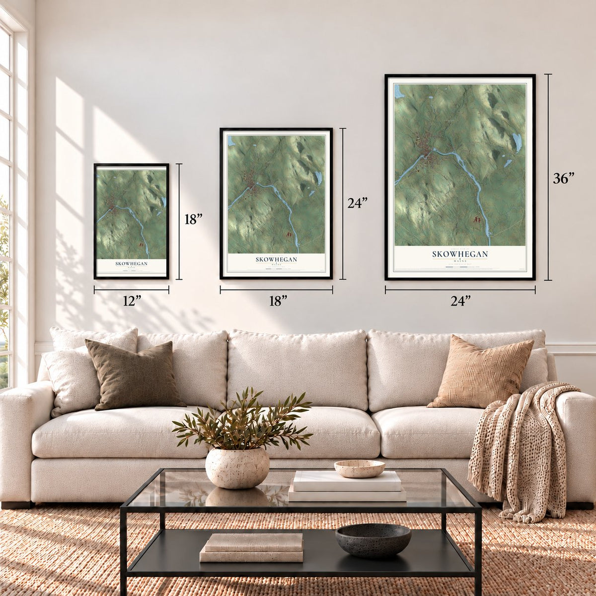
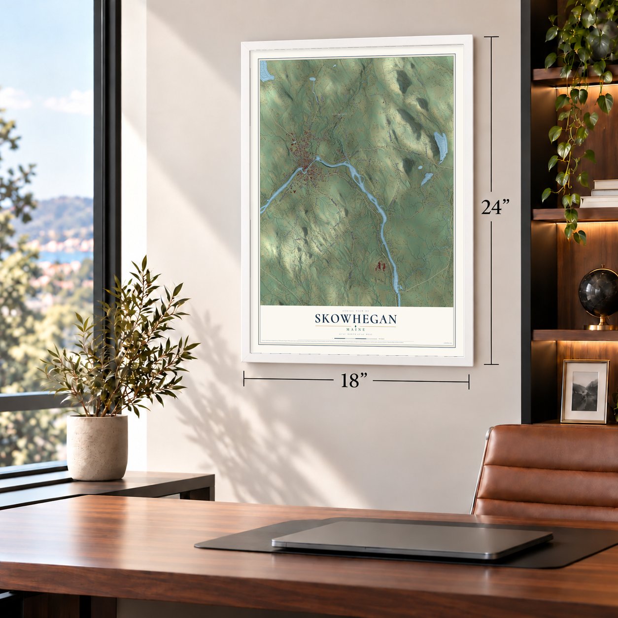
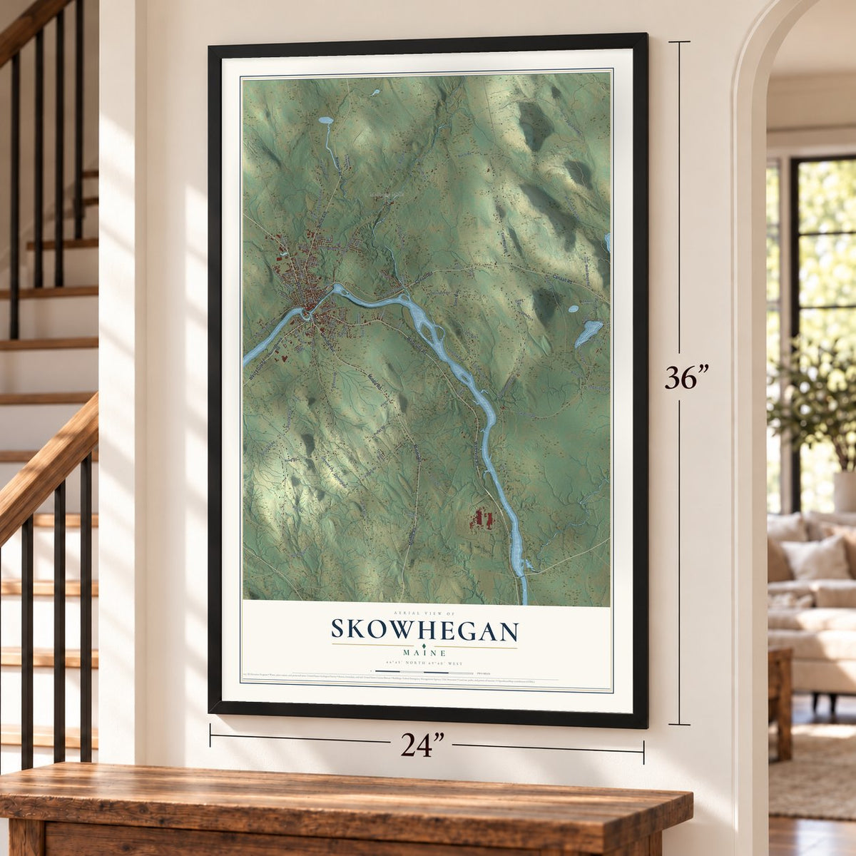
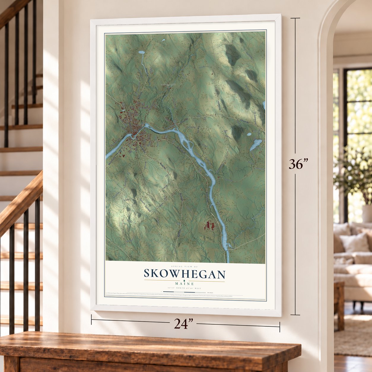
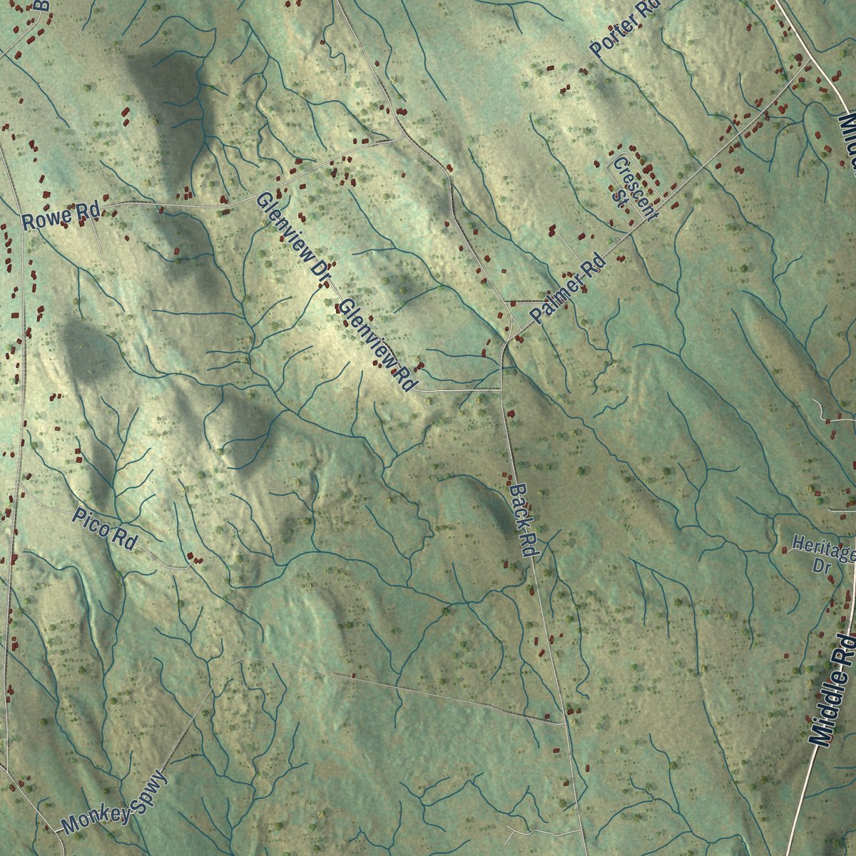
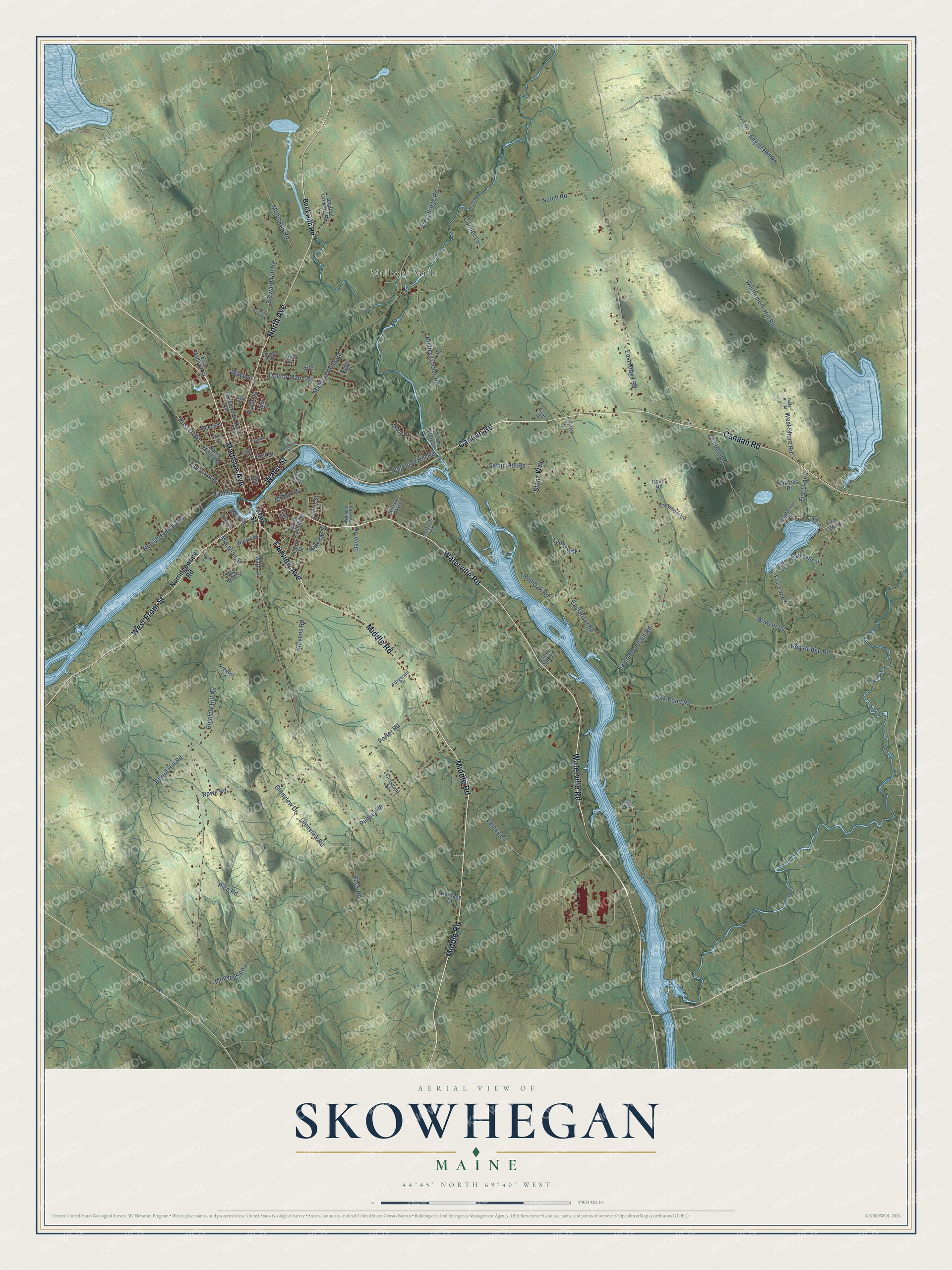
Explore Skowhegan, Maine from a whole new perspective. Created using aerial imagery and detailed geographic data, this map captures Skowhegan building by building, with labeled streets, familiar landmarks, and shaded topographical relief that highlights the natural contours of the landscape.
Combining modern data with the timeless character of a vintage atlas, this map is just as interesting up close as it is beautiful on the wall. Whether you grew up in Skowhegan, spent memorable years there, or call it home today, this unique map is a great way to celebrate a place that means something to you. Zoom in on the preview to look for your street, and then order a print to put your memories on the wall.
Three ways to hang it
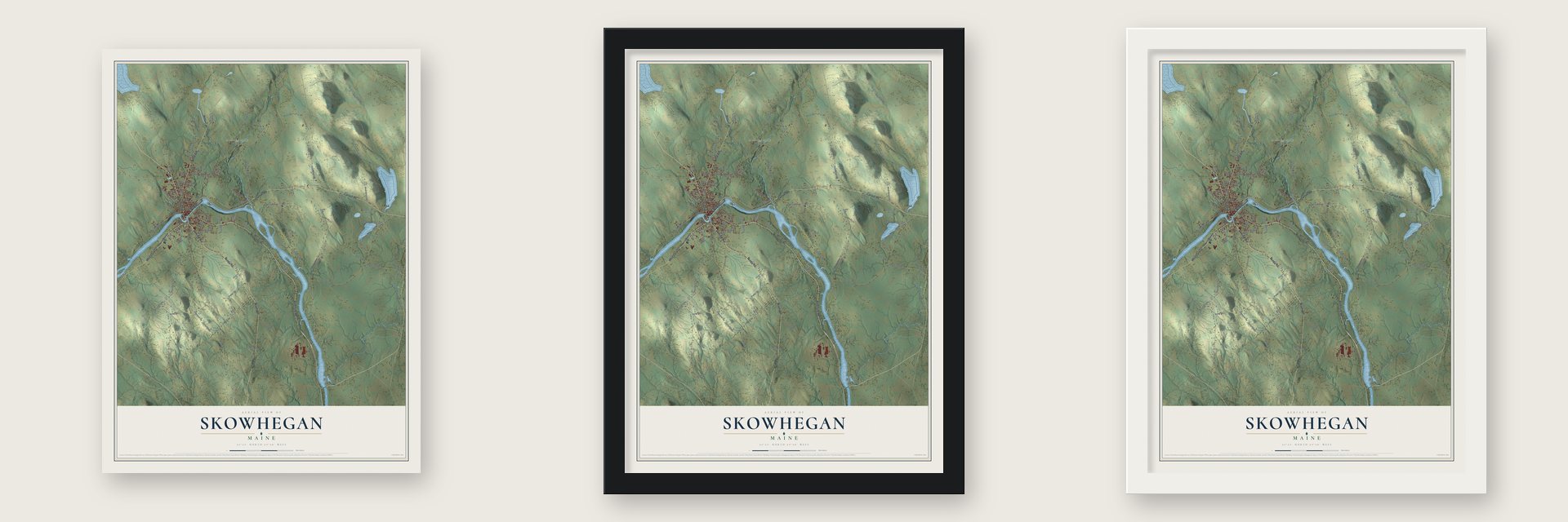
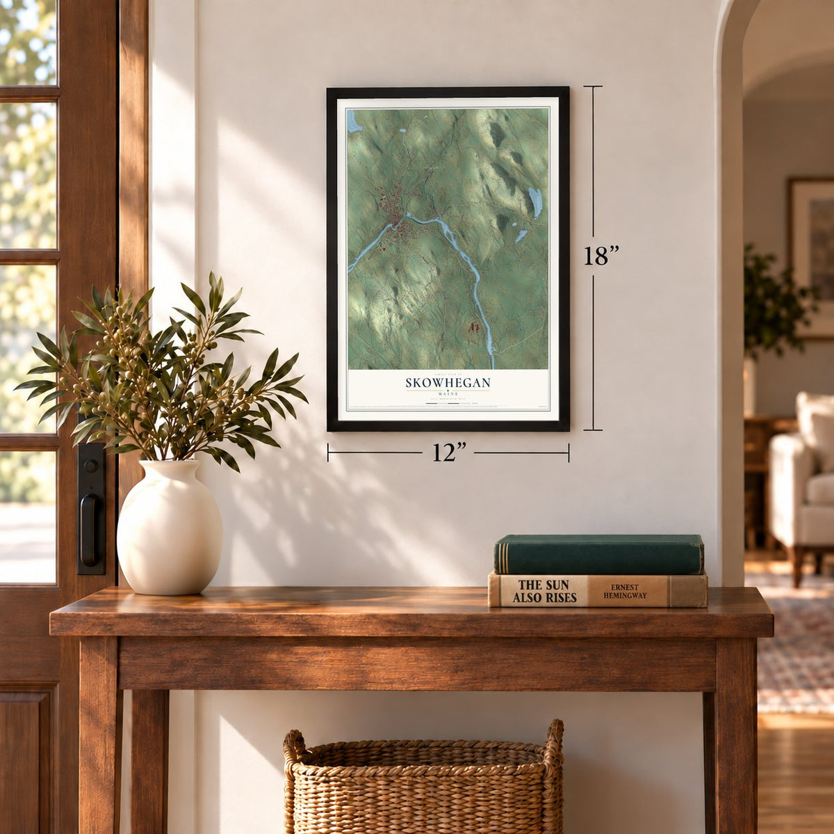
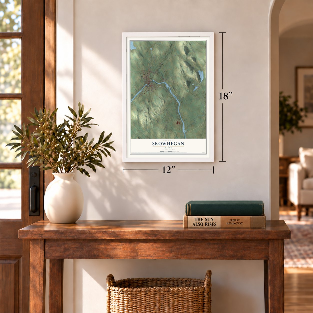
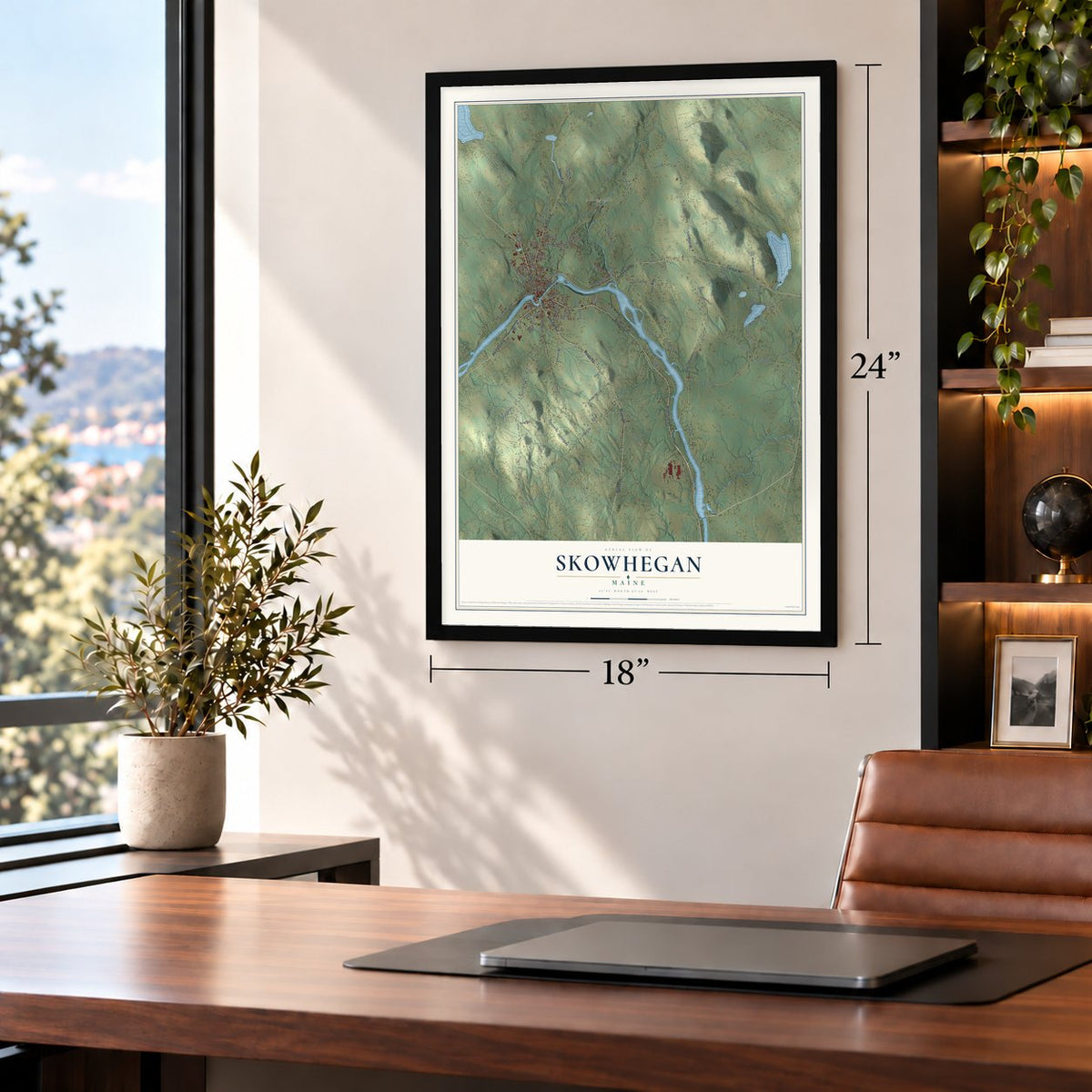
Unframed archival matte, a black wood frame or a white wood frame.
Up close
Geography Worth Displaying
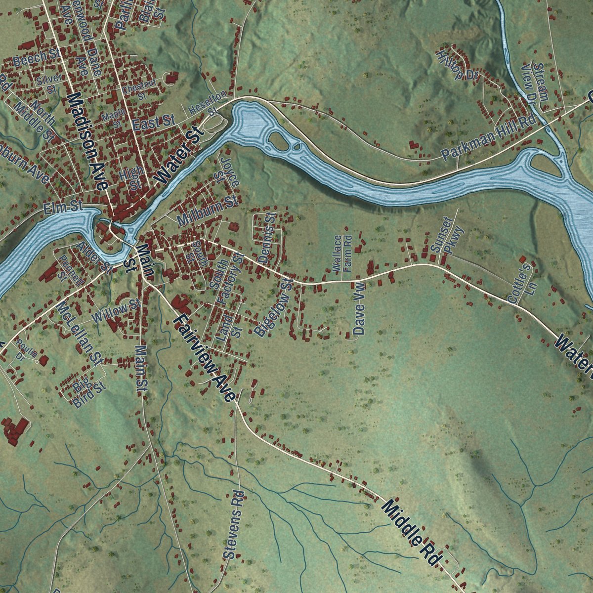
This map was created using accurate cartographic data and authoritative geographic sources, including the U.S. Geological Survey (USGS) and FEMA. The map brings together terrain, waterways, roads, and building detail. The majority of the streets are labeled, houses are accurately depicted, and the topography is derived from government sources. Combining local data with carefully composed color and shading leads to this beautifully detailed Skowhegan artwork for your wall.
Rather than simply showing street outlines, we’ve included as many of the street names as we could reasonably fit on the map while keeping their names legible. Zoom in on the high resolution preview to see exactly what’s on the map. We truly set out to create a statement piece for anyone who loves Skowhegan. So whether it’s for you, or a gift for someone you love, we hope this map of Skowhegan brings back fond memories.
Explore the full map of Skowhegan, Maine and read about the local places it shows.
Find your street
Names on the Skowhegan map
Every name below is printed on this map. Look for your street, your school, the park where you played, or the pond down the road.
Places and landmarks2
- Malbons Mills
- Harveys Park
Streets and roads110
- Waterville Road
- West Front Street
- Madison Avenue
- Fairview Avenue
- Middle Road
- Water Street
- Canaan Road
- North Avenue
- Parkman Hill Road
- Main Street
- Norridgewock Avenue
- Angier Hill Road
- Red Bridge Road
- Monkey Spwy
- Elm Street
- East Ridge Road
- Fire Lane 5
- Notch Road
- Fire Lane 4
- East River Road
- Bigelow Hill Road
- Back Road
- Oak Pond Road
- Malbons Mills Road
- Eaton Mountain Road
- Whittemore Hill Road
- Russell Road
- Varney Road
- Dudley Corner Road
- Palmer Road
Show all 110 streets
- West Ridge Road
- Rowe Road
- Steward Hill Road
- Swain Hill Road
- West Shore Road
- Glenview Drive
- Glenview Road
- Lambert Road
- Stevens Road
- Fire Lane 1
- Red Oak Road
- Porter Road
- Doctor Mann Road
- Coburn Avenue
- Molunkus Road
- Pico Road
- Bowzer Lane
- Burrill Hill Road
- Bigelow Street
- McLellan Street
- Conifer Lane
- Milburn Street
- Lynns Way
- Dave Vw
- Waye Street
- Parlin Street
- East Street
- Norridgewock Road
- Beckwith Road
- Stanz Way
- Cayford Orchard Road
- Greenwood Avenue
- Big Bird Street
- North Middle Street
- Loon Lane
- Kingfisher Lane
- Lamphere Lane
- Hilltop Drive
- Robin Court
- Crescent Street
- Zikorus Drive
- South Factory Street
- Fire Lane 2
- East Madison Street
- Beech Street
- Willow Street
- Alder Street
- High Street
- Sunset Parkway
- Valley Dale Lane
- Stream View Drive
- Dennis Street
- Dane Avenue
- Cottle's Lane
- Joyce Street
- Heritage Drive
- Provost Lane
- Land Street
- Mri Drive
- Cook Road
- Blair Street
- Pine Circle
- Heselton Street
- Silver Street
- Prentiss Lane
- Fitzgerald Drive
- Wallace Farm Road
- South Street
- Pennell Street
- Gem Street
- Giggey Drive
- Foster Hill Road
- Salisbury Street
- Blue Heron Lane
- Maple Street
- Poulin Drive
- Transfer Station Drive
- Chestnut Street
- Ba Lane
- Deas Way
Names are listed as they appear on the printed map. Zoom into the product photos to find them.
About Skowhegan, Maine
Skowhegan is a town of 8,620 people and the county seat of Somerset County, on the Kennebec River. Each year from spring to fall, Abenaki families fished at the falls here, spearing salmon in the pools below two waterfalls that dropped 28 feet in half a mile. They called the place Skowhegan, the "watching place" for fish. After colonial rangers raided the Norridgewock village upriver in 1724, the survivors left the region for Quebec.
European settlement began in the spring of 1771, when the Heywood and Weston families from Massachusetts landed on a river island of about nine acres. The fathers went home that summer and were delayed, so Eli Weston and Isaac Smith spent the winter by themselves on the island until the families came back in April 1772. The town was set off from Canaan on February 5, 1823, as Milburn, but residents preferred the old name, and it became Skowhegan in 1836. It annexed Bloomfield, across the river, in 1861 and became the county seat in 1871.
“At the end of the half-mile run, there were the high Skowhegan Falls on each side of a craggy island in midstream.”
- A state fair since 1819The Somerset Central Agricultural Society organized the Skowhegan Fair in 1818 and held the first one in 1819. It still comes to town every August, and no state fair in the United States has run longer without a break.
- Arnold's men at the fallsColonel Benedict Arnold's troops came through on September 29, 1775, on their way to attack Quebec. Their bateaux had to get past a whirlpool at the Great Eddy and a half mile of fierce current below the high falls. Joseph Weston, one of the first settlers, died of exposure after that passage.
- A mill town on the islandWater power from Skowhegan Falls made Skowhegan a mill town, with mills crowded onto Skowhegan Island between the river's north and south channels. The railroad arrived in 1856, and in the 19th century the town's factories turned out paper, flour, wool cloth, oil cloth, axes, scythes, harnesses and shoes.
- The strike of 1907Textile workers at the Marston Mills Company joined the Industrial Workers of the World and went on strike in 1907, saying they needed higher pay to truly live. The strike ended with every demand met, and forty-two workers who had lost their jobs over the union got them back.
- Fifty years at the tavernJosiah Locke, a general in the Revolutionary War, opened a tavern in 1811 where Main Street meets West Front Street. He kept it for 50 years and served as the town's postmaster for 49 of them.
Keep exploring Maine
Skowhegan is one of 536 Maine towns we've mapped. Every dot on the map is a print of its own.
The search covers every state, Maine first.
Near Skowhegan
Order 2 or more town maps and save 10%. Shown in the size and finish you picked above, so they hang as a set.
- Canaan 12" x 18" / Archival Matte Print $39.99
- Cornville 12" x 18" / Archival Matte Print $39.99
- Norridgewock 12" x 18" / Archival Matte Print $39.99

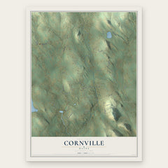

More maps nearby: Madison, Fairfield, Clinton, Hartland and Smithfield.
The art of mapping a place
How This Map Was Made
Real places. Remarkable detail. Discover the layers that turn geographic data into a map of home.

The view from above
Aerial imagery reveals the character of the land: woodland, open fields, and the patterns of a place.

The shape of the land
Elevation data brings hills, valleys, and subtle changes in the landscape into view.

The details of home
Roads, waterways, and building footprints come together to make the map feel unmistakably local.

Geography becomes art
Considered color, shading, and typography bring the layers together in a map made for your wall.


Process illustrated with Mendon, Massachusetts. Aerial imagery: USDA NAIP. Terrain: USGS 3D Elevation Program. Map details and finished artwork: KNOWOL.
The Details
About This Print
Choose an archival matte print, or a black or white Ayous wood frame. The archival matte print is unframed.
Select your size and finish above to see the matching product image and price.
Materials & Craftsmanship
A contemporary map with the character of a classic atlas, printed on archival matte paper. Optional frames are made from Ayous wood.
Your printed map does not include the watermark shown in the full-map preview.
Shipping & Delivery
Free shipping within the United States. Every print is made to order in the USA.
Buying a gift? Add a note in your cart and we'll include it. We never put prices in the package.
Prints ship within 2 to 3 business days. Allow 7 to 10 days total from ordering for delivery. Timing may vary during holidays or periods of high order volume.
Read our shipping policy.
Returns and damaged prints
Each print is made to order. Change-of-mind refunds are not available after production.
If your print arrives damaged, misprinted or incorrect, contact support@knowol.com within 30 days of receiving it. Include your order number, photos and a description of the issue.
Read our full refund and replacement policy. For questions about your order, email support@knowol.com.