
Search for another town


Free U.S. delivery 7 to 10 days after you order
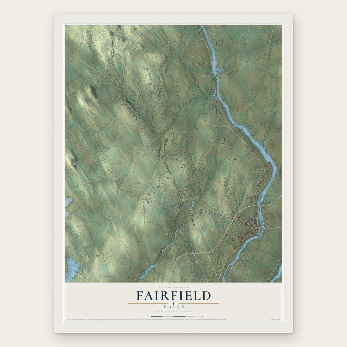
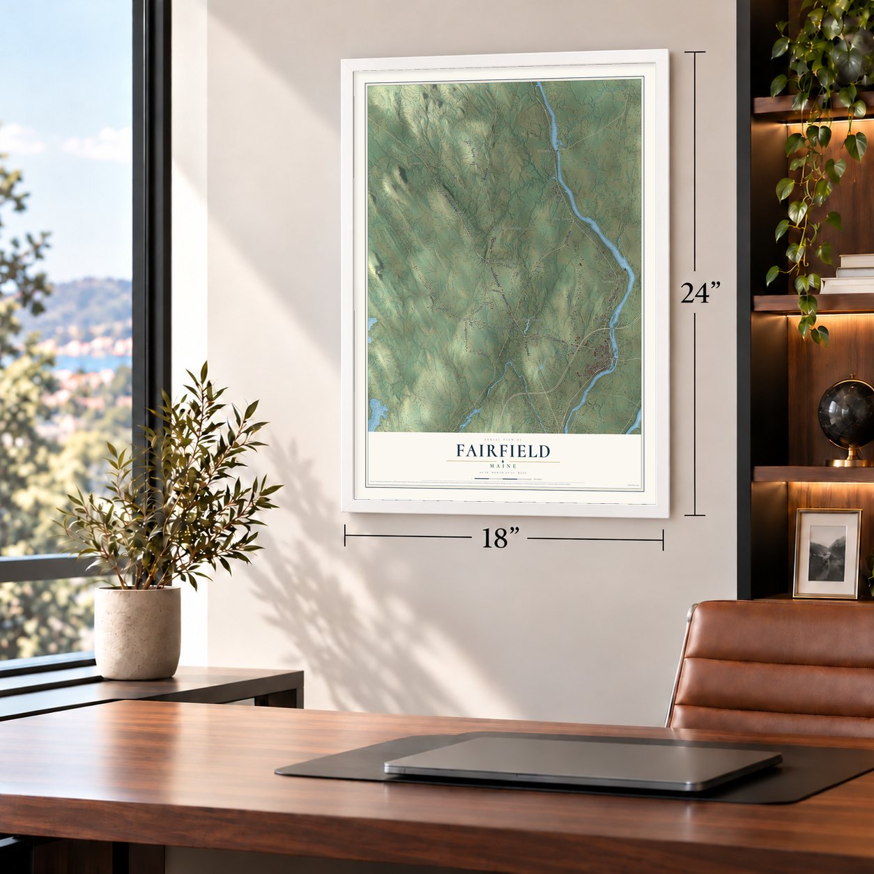
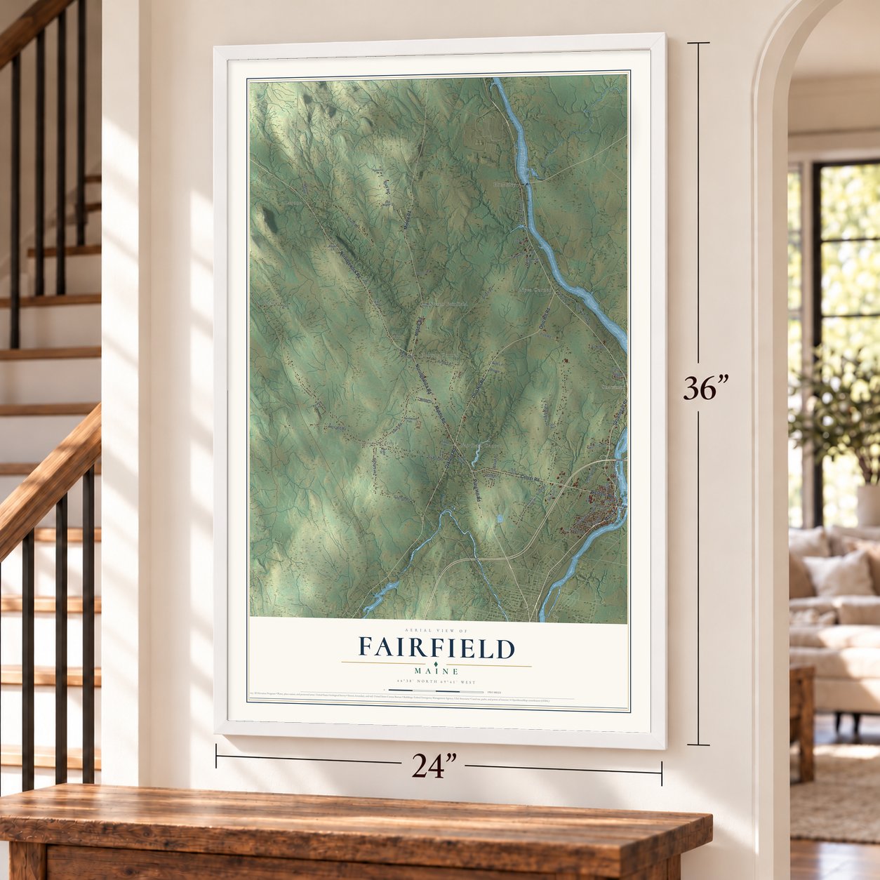
Fairfield, Maine Map Art
Building by building, with labeled streets and shaded relief.
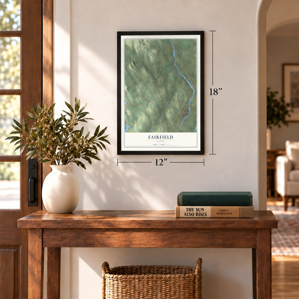
12" x 18" Archival Matte Print
A Map of Home. A Work of Art.
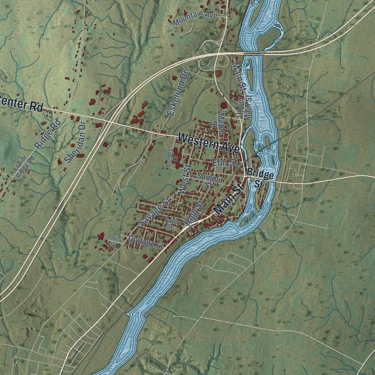
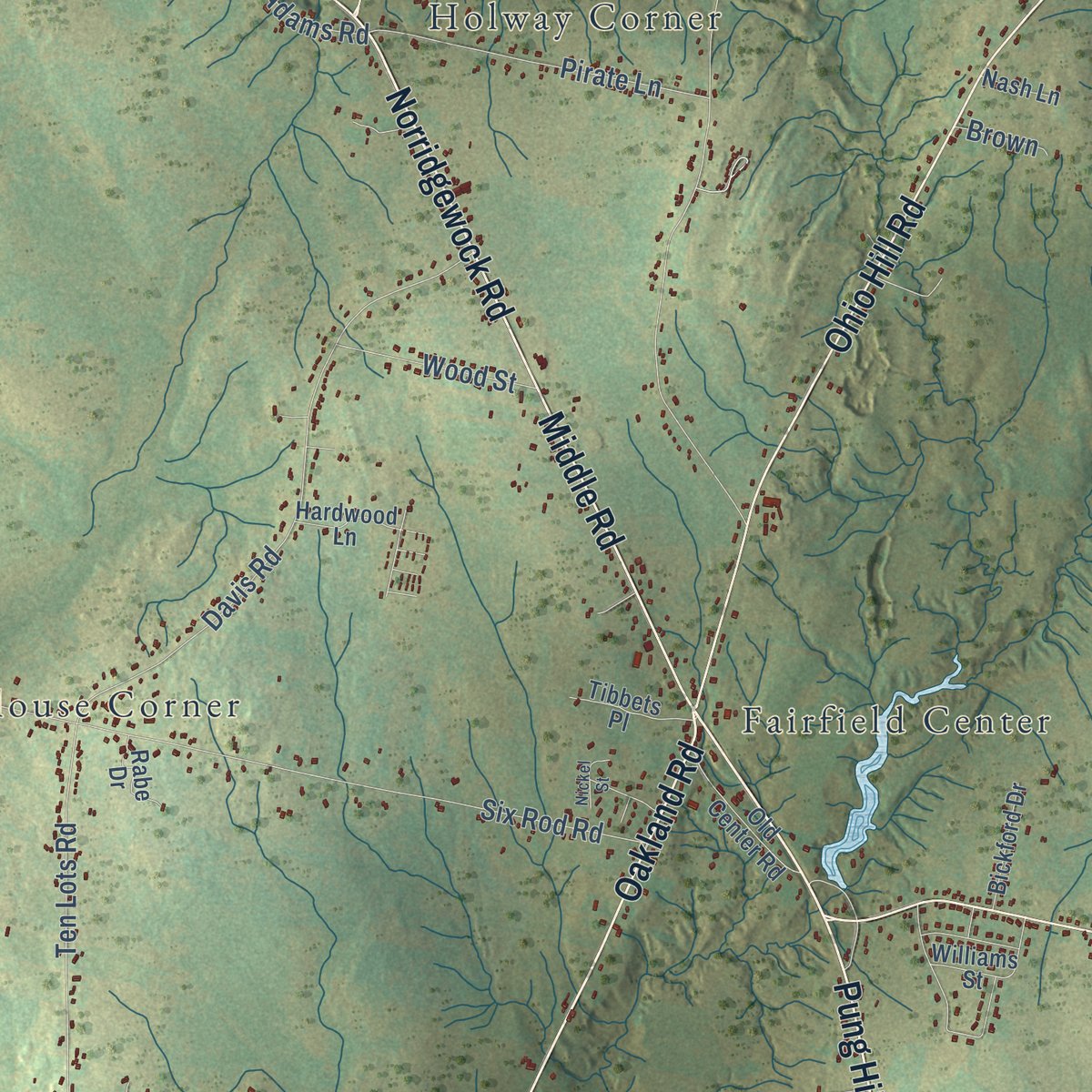
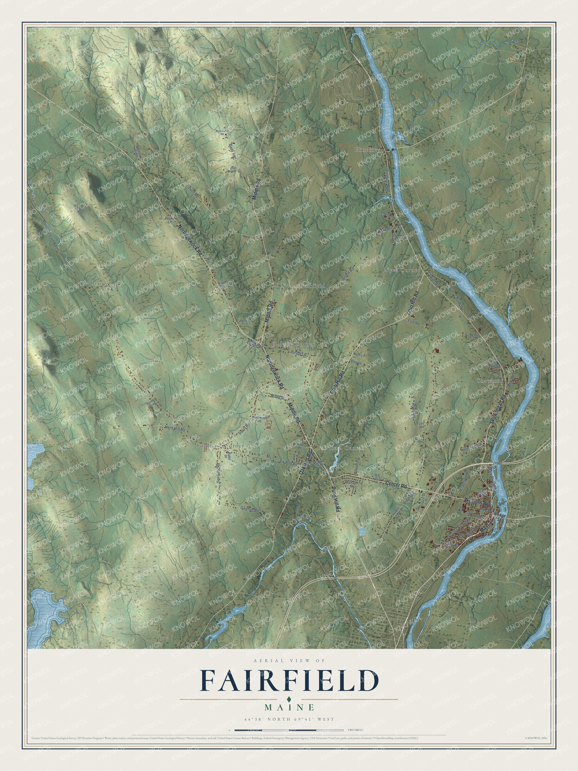
Explore Fairfield, Maine from a whole new perspective. Created using aerial imagery and detailed geographic data, this map captures Fairfield building by building, with labeled streets, familiar landmarks, and shaded topographical relief that highlights the natural contours of the landscape.
Combining modern data with the timeless character of a vintage atlas, this map is just as interesting up close as it is beautiful on the wall. Whether you grew up in Fairfield, spent memorable years there, or call it home today, this unique map is a great way to celebrate a place that means something to you. Zoom in on the preview to look for your street, and then order a print to put your memories on the wall.
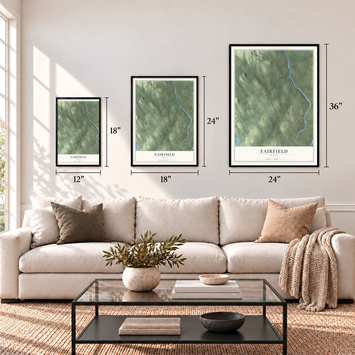
Three ways to hang it
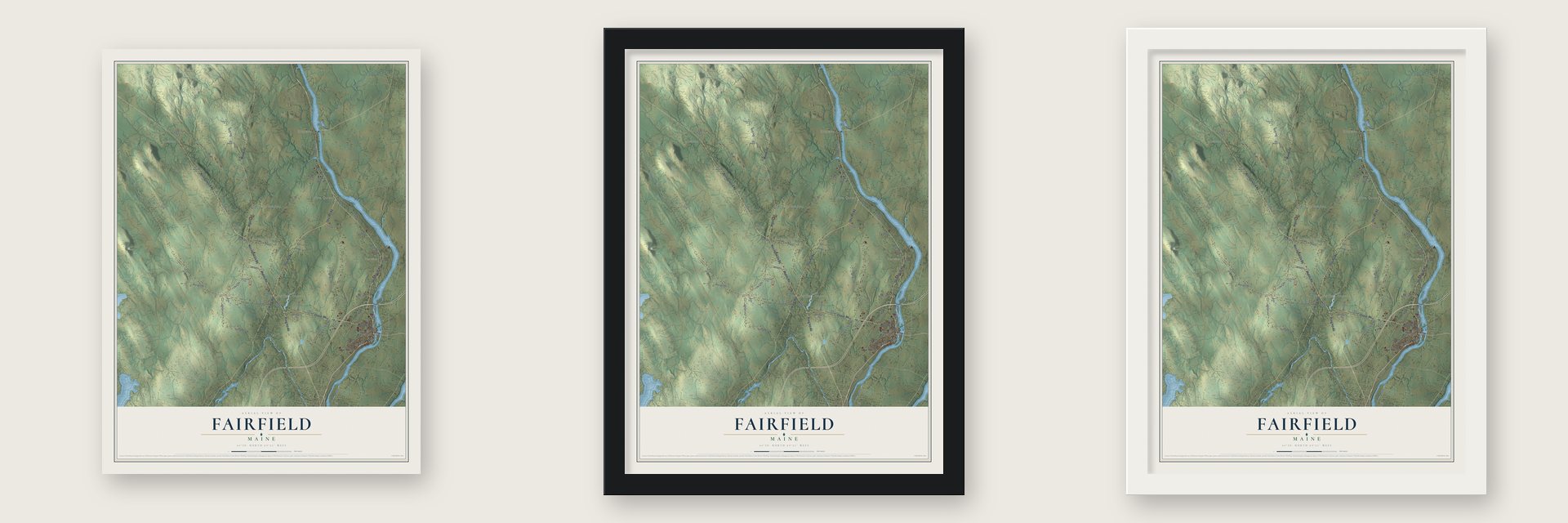
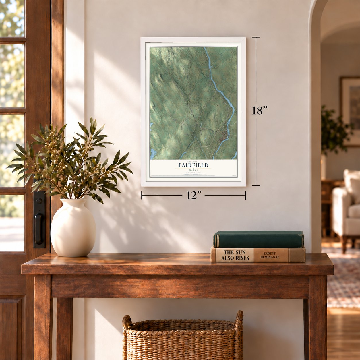
Unframed archival matte, a black wood frame or a white wood frame.
Up close
Geography Worth Displaying
This map was created using accurate cartographic data and authoritative geographic sources, including the U.S. Geological Survey (USGS) and FEMA. The map brings together terrain, waterways, roads, and building detail. The majority of the streets are labeled, houses are accurately depicted, and the topography is derived from government sources. Combining local data with carefully composed color and shading leads to this beautifully detailed Fairfield artwork for your wall.
Rather than simply showing street outlines, we’ve included as many of the street names as we could reasonably fit on the map while keeping their names legible. Zoom in on the high resolution preview to see exactly what’s on the map. We truly set out to create a statement piece for anyone who loves Fairfield. So whether it’s for you, or a gift for someone you love, we hope this map of Fairfield brings back fond memories.
Explore the full map of Fairfield, Maine and read about the local places it shows.

Find your street
Names on the Fairfield map
Every name below is printed on this map. Look for your street, your school, the park where you played, or the pond down the road.
Places and landmarks9
- North Fairfield
- Hinckley
- Toulouse Corner
- Shawmut
- Hoxies
- Larone
- Nyes Corner
- Fairfield Center
- Holway Corner
Streets and roads75
- Main Street
- Pung Hill Road
- Oakland Road
- Middle Road
- Ohio Hill Road
- Norridgewock Road
- Skowhegan Road
- Center Road
- Western Avenue
- Ridge Road
- Martin Stream Road
- Green Road
- Covell Road
- Horn Hill Road
- Davis Road
- Six Rod Road
- Back Road
- Nyes Corner Drive
- Ten Lots Road
- Pirate Lane
- Gagnon Road
- Eskelund Drive
- Savage Street
- High Street
- Gifford Drive
- Fish Road
- Howe Road
- West Street
- Wood Street
- Sheridan Drive
Show all 75 streets
- Bray Avenue
- Elm Street
- Adams Road
- Currier Road
- Bates Drive
- Brown
- Bridge Street
- Joy Road
- Fire Road 4
- Mountain Avenue
- Upper Main Street
- Hardwood Lane
- Old Center Road
- Fire Road 2
- Summit Street
- Williams Street
- Bickford Drive
- Tibbets Place
- Faiths Way
- Cottage Street
- Maple Street
- Rabe Drive
- Pratt Road
- Kingman Street
- Forest Lane
- Nash Lane
- Bigelow Hill Road
- Poulin Lane
- Lower Ridge Road
- Page Terrace
- Townsend Road
- Pinewood Lane
- Easler Road
- Dirigo Drive
- Maes Way
- Bulldog Drive
- Archer Road
- Burns Street
- Breton Hill Road
- Sherman Farm
- Great Meadow Lane
- Truss Lane
- Nickel Street
- Down Back Drive
- Hebert Lane
Names are listed as they appear on the printed map. Zoom into the product photos to find them.
About Fairfield, Maine
Fairfield is a town of 6,484 people in Somerset County, on the Kennebec River just north of Waterville. The land was home to the Canibas, a band of the Abenaki, whose Taconnet village sat downriver at the mouth of the Sebasticook in today's Winslow. Taconnet was burned in 1692, during King William's War, and the Canibas abandoned the area. Once the French and Indian Wars ended in 1763, English settlers could move in, and in 1774 they began farming Fairfield Plantation, named for its fair aspect.
Benedict Arnold's soldiers stopped here in 1775 to rest and pick up supplies on their way up the Kennebec toward the Battle of Quebec, and a stone marker where Main Street meets Route 201 recalls their camp. After the Revolution the plantation farmed hay, grain and potatoes, and its cattle were praised for both their numbers and their quality. The plantation became the town of Fairfield on June 18, 1788, counted 492 people in 1790, and raised 11,531 bushels of wheat in 1837.
- Falls that dropped 34 feetThe Kennebec falls 34 feet at Fairfield, and that water power turned it into a mill town. It ran eight sawmills, three planing mills, a gristmill, a plaster mill, a corn cannery, three carriage factories, a sled factory and a coffin factory, along with a marble works and a tannery. The biggest employers were the textile plants: Kendall's Mills at the southeast edge of town, which gave the village its early name, and Somerset Mills about two miles upriver.
- Two meetings until 1929For about 75 years the village had its own corporation. After the town meeting handled business for all of Fairfield, a second meeting took up the village's police, fire department and public works. Residents of Shawmut, Fairfield Center and Hinckley didn't receive those services, so they weren't taxed for them. The arrangement ended in 1929.
- Mercury on the rooftopAmos F. Gerald, builder of Maine's first electric trolley system, had architect William Robinson Miller design a Main Street hotel in 1899 and 1900. The four-story brick and terracotta Gerald Hotel, in the Renaissance Revival style, was crowned by a statue of the swift Roman god Mercury. It took guests until 1937 and reopened in 2015 as senior apartments. Miller also designed Lawrence High School and the Lawrence Library, dedicated on July 25, 1901.
- A home for children in 1889The Reverend George W. Hinckley founded the Good Will Home in 1889 on a 125-acre farm in Fairfield's northeast corner, where children in need found a home and a school. When he died in 1950, the place covered 3,000 acres with 45 buildings and had helped more than 3,000 young people. Its L. C. Bates Museum, in a 1903 school building, holds 32 dioramas of Maine habitats whose backdrops Impressionist Charles Daniel Hubbard painted in the 1920s.
- A chapel for Fairfield CenterSettlers reached the Ten Lots neighborhood at Fairfield Center in 1774. As a boy, Milton LaForest Williams lived there with his grandfather, Asa Bates. In 1916 he began the Asa Bates Memorial Chapel, a brick building with a temple front. He finished it two years later and gave it to the community to use as a church and a meeting hall.
Keep exploring Maine
Fairfield is one of 536 Maine towns we've mapped. Every dot on the map is a print of its own.
The search covers every state, Maine first.
Near Fairfield
Order 2 or more town maps and save 10%. Shown in the size and finish you picked above, so they hang as a set.
- Oakland 12" x 18" / Archival Matte Print $39.99
- Smithfield 12" x 18" / Archival Matte Print $39.99
- Waterville 12" x 18" / Archival Matte Print $39.99
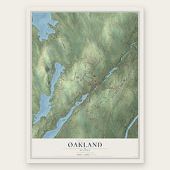
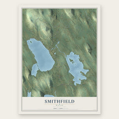

More maps nearby: Clinton, Benton, Skowhegan, Norridgewock and Winslow.
The art of mapping a place
How This Map Was Made
Real places. Remarkable detail. Discover the layers that turn geographic data into a map of home.

The view from above
Aerial imagery reveals the character of the land: woodland, open fields, and the patterns of a place.

The shape of the land
Elevation data brings hills, valleys, and subtle changes in the landscape into view.

The details of home
Roads, waterways, and building footprints come together to make the map feel unmistakably local.

Geography becomes art
Considered color, shading, and typography bring the layers together in a map made for your wall.


Process illustrated with Mendon, Massachusetts. Aerial imagery: USDA NAIP. Terrain: USGS 3D Elevation Program. Map details and finished artwork: KNOWOL.
The Details
About This Print
Choose an archival matte print, or a black or white Ayous wood frame. The archival matte print is unframed.
Select your size and finish above to see the matching product image and price.
Materials & Craftsmanship
A contemporary map with the character of a classic atlas, printed on archival matte paper. Optional frames are made from Ayous wood.
Your printed map does not include the watermark shown in the full-map preview.
Shipping & Delivery
Free shipping within the United States. Every print is made to order in the USA.
Buying a gift? Add a note in your cart and we'll include it. We never put prices in the package.
Prints ship within 2 to 3 business days. Allow 7 to 10 days total from ordering for delivery. Timing may vary during holidays or periods of high order volume.
Read our shipping policy.
Returns and damaged prints
Each print is made to order. Change-of-mind refunds are not available after production.
If your print arrives damaged, misprinted or incorrect, contact support@knowol.com within 30 days of receiving it. Include your order number, photos and a description of the issue.
Read our full refund and replacement policy. For questions about your order, email support@knowol.com.