
Search for another town



Free U.S. delivery 7 to 10 days after you order
Mansfield, Connecticut Map Art
Building by building, with labeled streets and shaded relief.
12" x 18" Archival Matte Print
A Map of Home. A Work of Art.
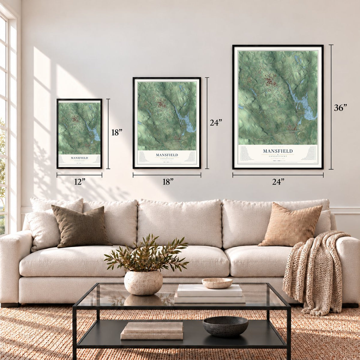
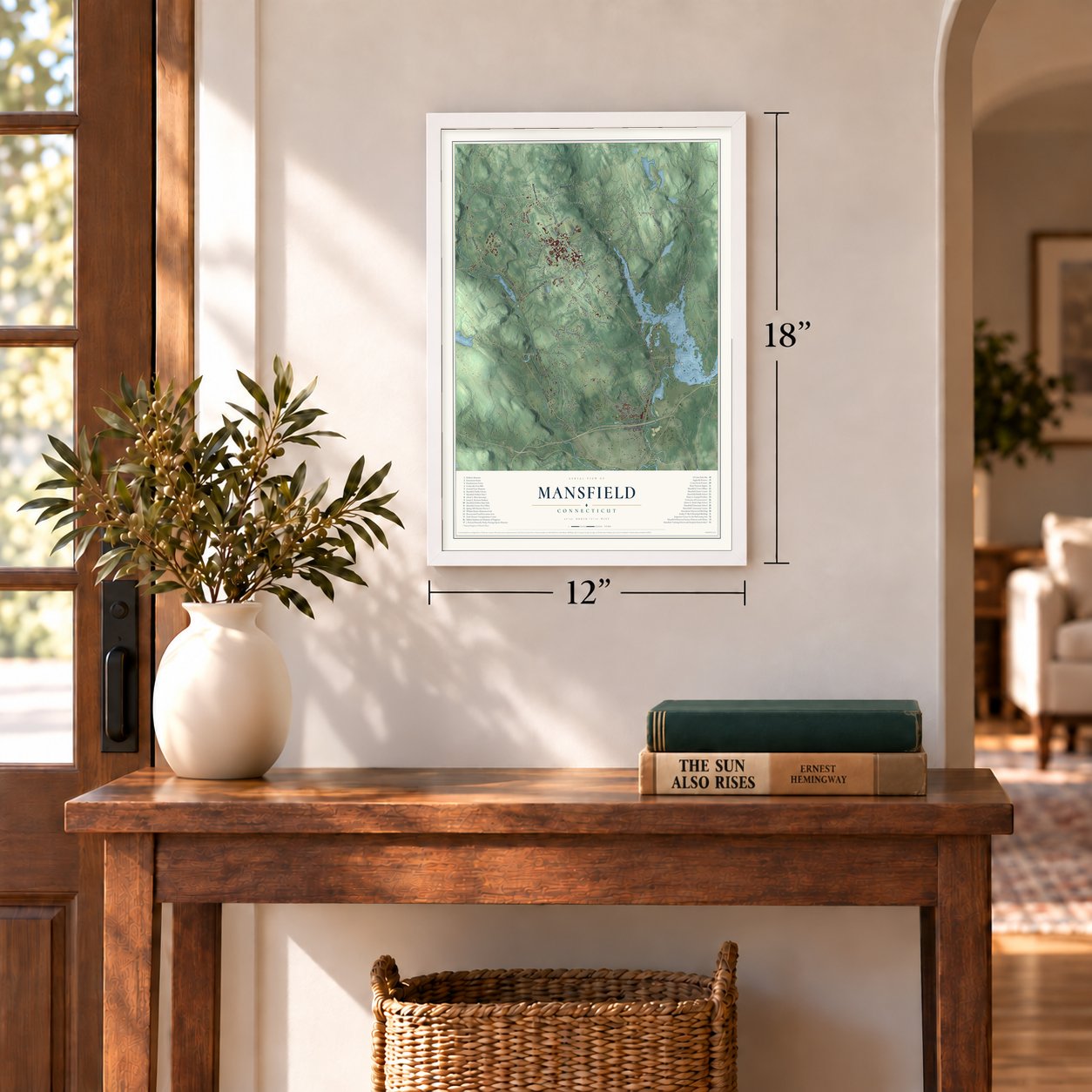
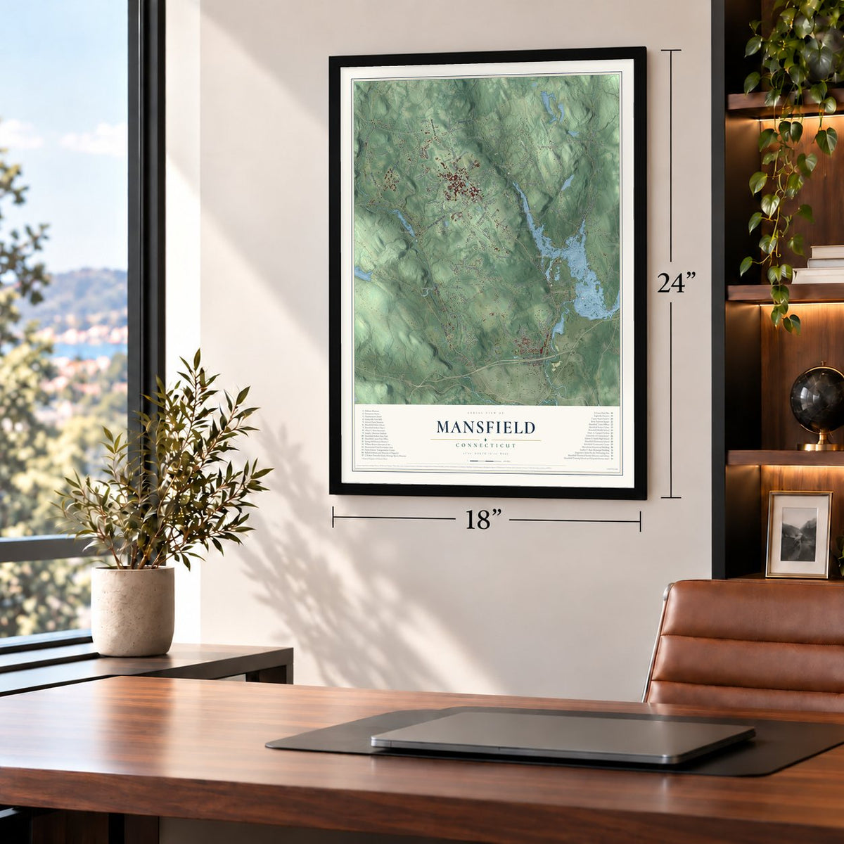
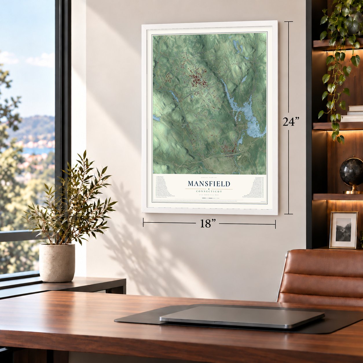
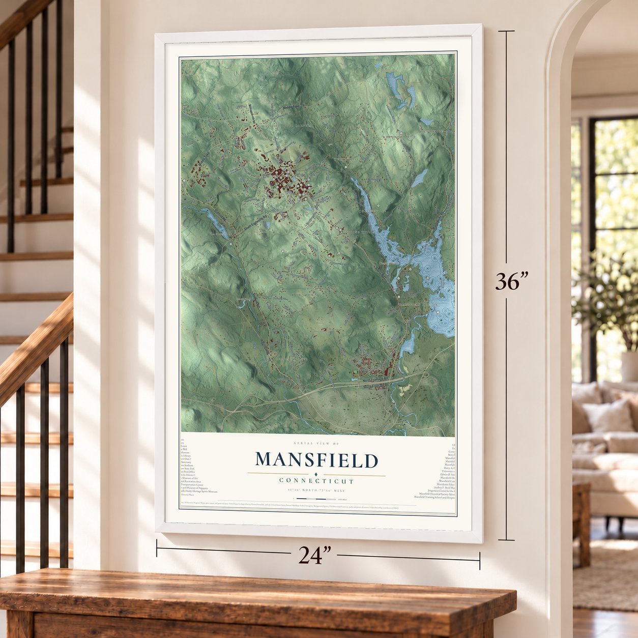
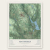
Explore Mansfield, Connecticut from a whole new perspective. Created using aerial imagery and detailed geographic data, this map captures Mansfield building by building, with labeled streets, familiar landmarks, and shaded topographical relief that highlights the natural contours of the landscape.
Combining modern data with the timeless character of a vintage atlas, this map is just as interesting up close as it is beautiful on the wall. Whether you grew up in Mansfield, spent memorable years there, or call it home today, this unique map is a great way to celebrate a place that means something to you. Zoom in on the preview to look for your street, and then order a print to put your memories on the wall.

Three ways to hang it
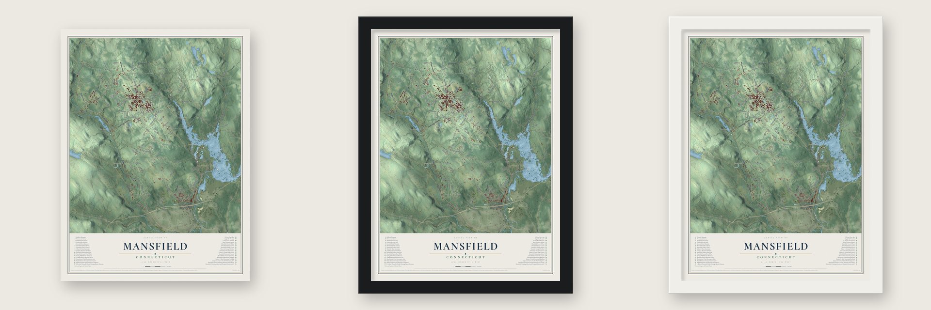
Unframed archival matte, a black wood frame or a white wood frame.
Up close
Geography Worth Displaying
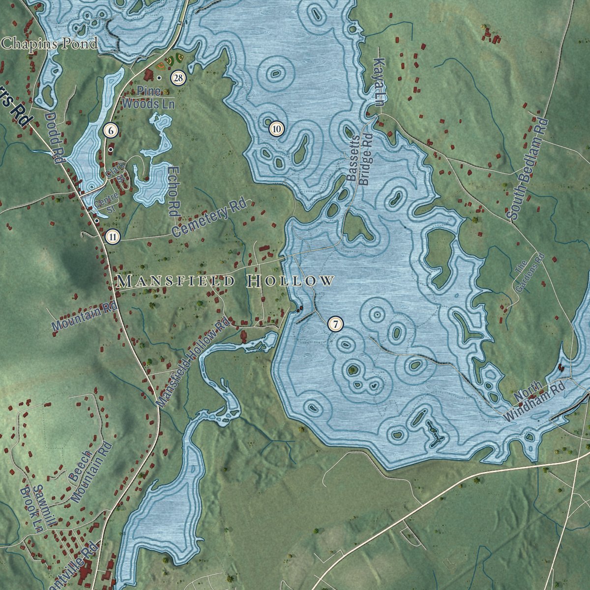
This map was created using accurate cartographic data and authoritative geographic sources, including the U.S. Geological Survey (USGS) and FEMA. The map brings together terrain, waterways, roads, and building detail. The majority of the streets are labeled, houses are accurately depicted, and the topography is derived from government sources. Combining local data with carefully composed color and shading leads to this beautifully detailed Mansfield artwork for your wall.
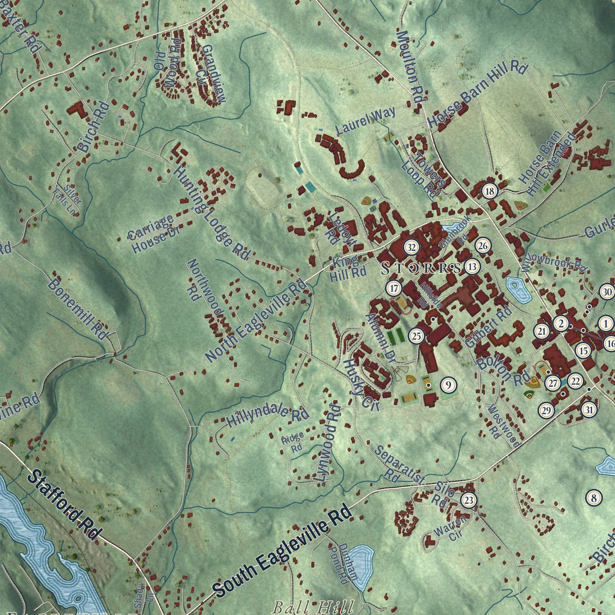
Rather than simply showing street outlines, we’ve included as many of the street names as we could reasonably fit on the map while keeping their names legible. Zoom in on the high resolution preview to see exactly what’s on the map. We truly set out to create a statement piece for anyone who loves Mansfield. So whether it’s for you, or a gift for someone you love, we hope this map of Mansfield brings back fond memories.
Explore the full map of Mansfield, Connecticut and read about the local places it shows.
Find your street
Names on the Mansfield map
Every name below is printed on this map. Look for your street, your school, the park where you played, or the pond down the road.
Places and landmarks21
- Downtown
- Merrow
- Ball Hill
- Chestnut Hill
- Knowlton Hill
- Chapins Pond
- Decew Pond
- Stearns Farm
- Gurleyville
- Atwoodville
- Storrs
- Perkins Corner
Show all 21 places
- Chaffeeville
- Mansfield Four Corners
- Conantville
- Mount Hope
- Spring Hill
- Mansfield Hollow
- Wormwood Hill
- Eagleville
- Mansfield City
Streets and roads149
- Stafford Road
- Storrs Road
- South Frontage Road
- Warrenville Road
- Middle Turnpike
- South Eagleville Road
- North Frontage Road
- Higgins Highway
- Hanks Hill Road
- Ash Road
- Mansfield City Road
- Wormwood Hill Road
- Browns Road
- Gurleyville Road
- Woodland Road
- Dunhamtown Road
- Bradley Road
- Mulberry Road
- Stearns Road
- Spring Hill Road
- Codfish Falls Road
- Hunting Lodge Road
- Mount Hope Road
- North Eagleville Road
- Pleasant Valley Road
- Coventry Road
- Maple Road
- Horse Barn Hill Road
- Clover Mill Road
- Puddin Lane
Show all 149 streets
- Bonemill Road
- Forest Road
- Baxter Road
- Crane Hill Road
- Birch Road
- Old Turnpike Road
- Davis Road
- Cedar Swamp Road
- Highland Road
- Conantville Road
- Moulton Road
- Hillyndale Road
- Dog Lane
- Ice House Road
- Brookside Lane
- Fern Road
- Ravine Road
- East Road
- Summit Road
- Hickory Lane
- Wildwood Road
- Thornbush Road
- Cemetery Road
- Old Route 89
- Woods Road
- Husky Circle
- Timber Drive
- Candide Lane
- River Road
- Depot Road
- Knowlton Hill Road
- Mansfield Avenue
- Weaver Road
- Bolton Road
- Lorraine Drive
- South Bedlam Road
- Birchwood Heights
- Bundy Lane
- Ellise Road
- Lynwood Road
- Daleville Road
- Chatham Drive
- Dodd Road
- Echo Road
- Kaya Lane
- Phillip Drive
- Lodi Drive
- Willington Hill Road
- King Hill Road
- Chaffeeville Road
- Bassetts Bridge Road
- Separatist Road
- Alumni Drive
- Stonemill Road
- Mansfield Hollow Road
- Storrs Heights Road
- Beech Mountain Road
- Laurel Way
- Towers Loop Road
- Sawmill Brook Lane
- Circle Drive
- Beacon Hill Drive
- Horse Barn Hill Extended
- Spring Manor Lane
- Grandview Circle
- Crystal Lane
- Northwood Road
- Carriage House Drive
- Old Wood Road
- Flaherty Road
- White Oak Road
- Farrel Road
- Tolland Turnpike
- North Windham Road
- Jacobs Hill Road
- Dartmouth Road
- Mountain Road
- Riverview Road
- Boulder Lane
- Gilbert Road
- Agronomy Road
- Pine Woods Lane
- Silo Road
- Laurel Lane
- Mary Belle Drive
- Plains Road
- Fellen Road
- Ledoyt Road
- Quail Run
- Jude Lane
- Elizabeth Road
- Jonathan Lane
- Warren Circle
- Dunham Pond Road
- Willowbrook Road
- Charles Lane
- Oak Drive
- Wyllys Farm Road
- Max Felix Drive
- Westwood Road
- Foster Drive
- Orchard Drive
- Holly Drive
- Anton Road
- Hillside Road
- Clark Street
- Atwoodville Road
- Hillcrest Drive
- Liberty Drive
- Olsen Drive
- Glenbrook Road
- The Gardens Road
- West Highland Road
- Centre Street
- Shady Lane
- Woodmont Drive
- Ridge Road
- Silver Falls Lane
- Cider Mill Road
Names are listed as they appear on the printed map. Zoom into the product photos to find them.
About Mansfield, Connecticut
Mansfield is a town of 25,892 people in Tolland County, in northeastern Connecticut. In 1686 English settlers marked out twenty-one home lots at a place they called the Ponde-place at Naubesatuck, now Mansfield Center, and families had settled there by 1692. A Windham town meeting admitted in 1697 that its people lived in two separate settlements, four miles apart, with a dangerous river in between.
The northern settlement pointed to that river when it asked to govern itself, and in October 1702 it was incorporated as Mansfield. It took the name of Major Moses Mansfield, who owned part of the town site. The town joined the new Windham County in 1726, then voted in April 1826 to petition the legislature for a move to Tolland County, which took effect in 1827.
“The inhabitants of this town have been distinguished for their ingenuity, enterprise and industry.”
- America's first silk millIn 1788 thirty-two residents asked the General Court to make them a silk company. Farmers planted mulberry trees and their families raised silkworms, and an 1819 gazetteer put the town's yearly output at some 2,500 pounds of raw silk. In 1810 Rodney Hanks and his nephew Horatio built water-powered machines of their own for the nation's first silk mill. Later mills rose at Gurleyville, the Hollow and Conantville, but the boom had ended by the mid-1800s.
- The buzz saw and brass cannonAbout sixty years before 1836, Daniel Hartshorn of Mansfield invented the buzz saw, which he turned with a hand crank to notch the teeth of horn combs. Benjamin Hanks, born here in 1755, came back in 1785 and set up a foundry casting bells and brass cannon. His best-known work was a clock on New York's old Dutch Church, kept wound by a small windmill.
- From orphans' home to UConnIn 1865 Edwin Whitney opened a boarding school in the north parish, but fire closed it before its first term ended. He gave the state his new house and farm as a home for soldiers' orphans. In 1881 the brothers Charles and Augustus Storrs donated 170 acres and $6,000 there to start the Storrs Agricultural School. Enrolling 40 to 63 students a year, the school was made a college in 1893 and was renamed University of Connecticut in 1939.
- The parsonage of 1710Samuel Fuller began a house in 1709, and the town finished it the next year for the Rev. Eleazer Williams, Mansfield's first minister. For 75 years it was the town's parsonage, and its later additions show how a colonial home changed over a century. The Eleazer Williams House joined the National Register in 1971.
- Gurleyville's stone grist millIn 1749 Benjamin Davis built a dam and a grist mill of stone on the Fenton River at Gurleyville. Its original equipment is still inside, and visitors can tour it each year from May to October.
Keep exploring Connecticut
Mansfield is one of 376 Connecticut towns we've mapped. Every dot on the map is a print of its own.
The search covers every state, Connecticut first.
Near Mansfield
Order 2 or more town maps and save 10%. Shown in the size and finish you picked above, so they hang as a set.
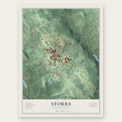
- Storrs 12" x 18" / Archival Matte Print $39.99
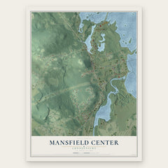
- Mansfield Center 12" x 18" / Archival Matte Print $39.99
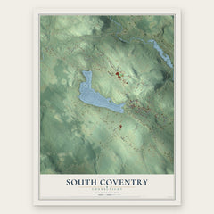
- South Coventry 12" x 18" / Archival Matte Print $39.99
More maps nearby: Chaplin, Willimantic, North Windham, Coventry Lake and Coventry.
The art of mapping a place
How This Map Was Made
Real places. Remarkable detail. Discover the layers that turn geographic data into a map of home.

The view from above
Aerial imagery reveals the character of the land: woodland, open fields, and the patterns of a place.

The shape of the land
Elevation data brings hills, valleys, and subtle changes in the landscape into view.

The details of home
Roads, waterways, and building footprints come together to make the map feel unmistakably local.

Geography becomes art
Considered color, shading, and typography bring the layers together in a map made for your wall.


Process illustrated with Mendon, Massachusetts. Aerial imagery: USDA NAIP. Terrain: USGS 3D Elevation Program. Map details and finished artwork: KNOWOL.
The Details
About This Print
Choose an archival matte print, or a black or white Ayous wood frame. The archival matte print is unframed.
Select your size and finish above to see the matching product image and price.
Materials & Craftsmanship
A contemporary map with the character of a classic atlas, printed on archival matte paper. Optional frames are made from Ayous wood.
Your printed map does not include the watermark shown in the full-map preview.
Shipping & Delivery
Free shipping within the United States. Every print is made to order in the USA.
Buying a gift? Add a note in your cart and we'll include it. We never put prices in the package.
Prints ship within 2 to 3 business days. Allow 7 to 10 days total from ordering for delivery. Timing may vary during holidays or periods of high order volume.
Read our shipping policy.
Returns and damaged prints
Each print is made to order. Change-of-mind refunds are not available after production.
If your print arrives damaged, misprinted or incorrect, contact support@knowol.com within 30 days of receiving it. Include your order number, photos and a description of the issue.
Read our full refund and replacement policy. For questions about your order, email support@knowol.com.