
Search for another town
Free U.S. delivery 7 to 10 days after you order
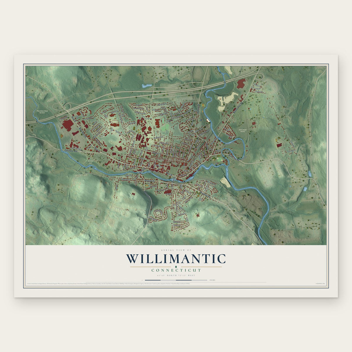
Willimantic, Connecticut Map Art
Building by building, with labeled streets and shaded relief.
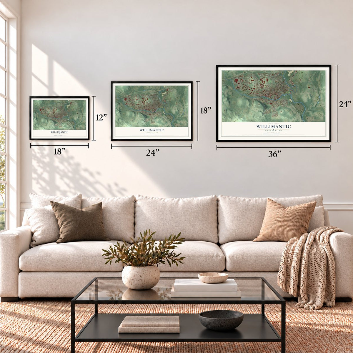
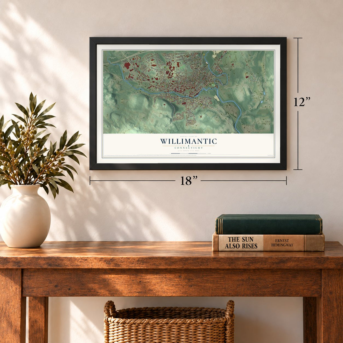
12" x 18" Archival Matte Print
A Map of Home. A Work of Art.
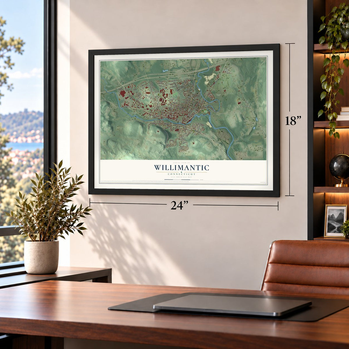
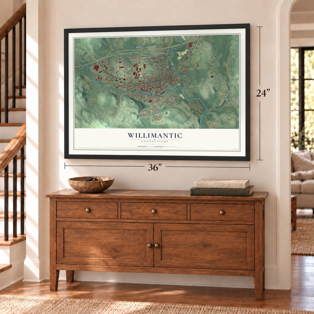
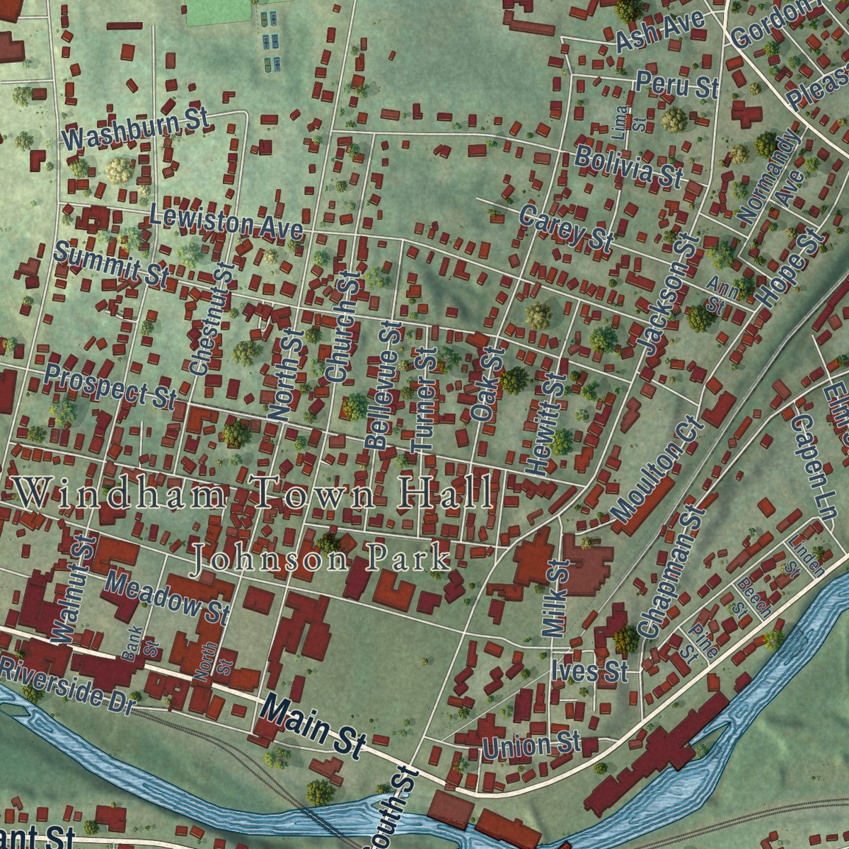
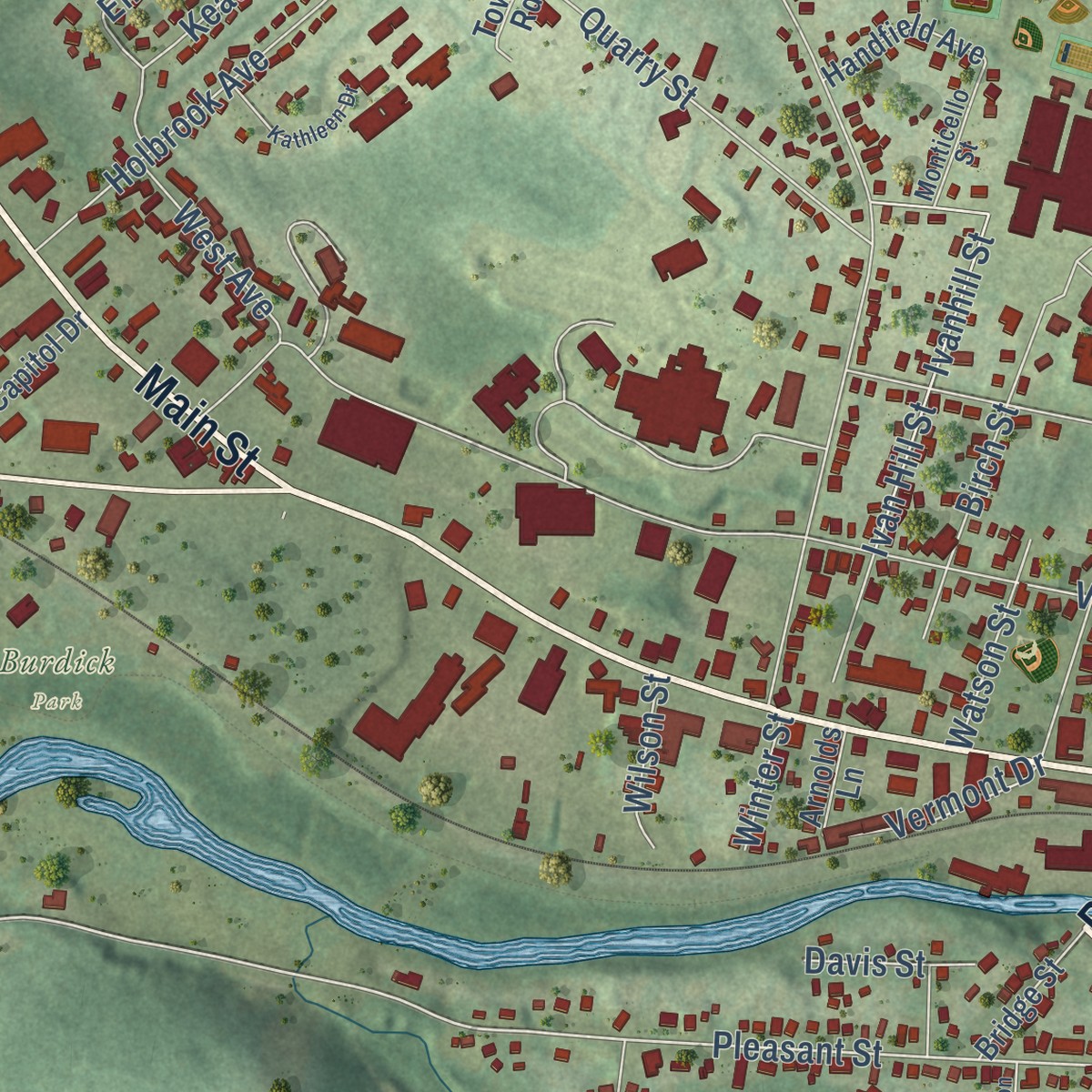
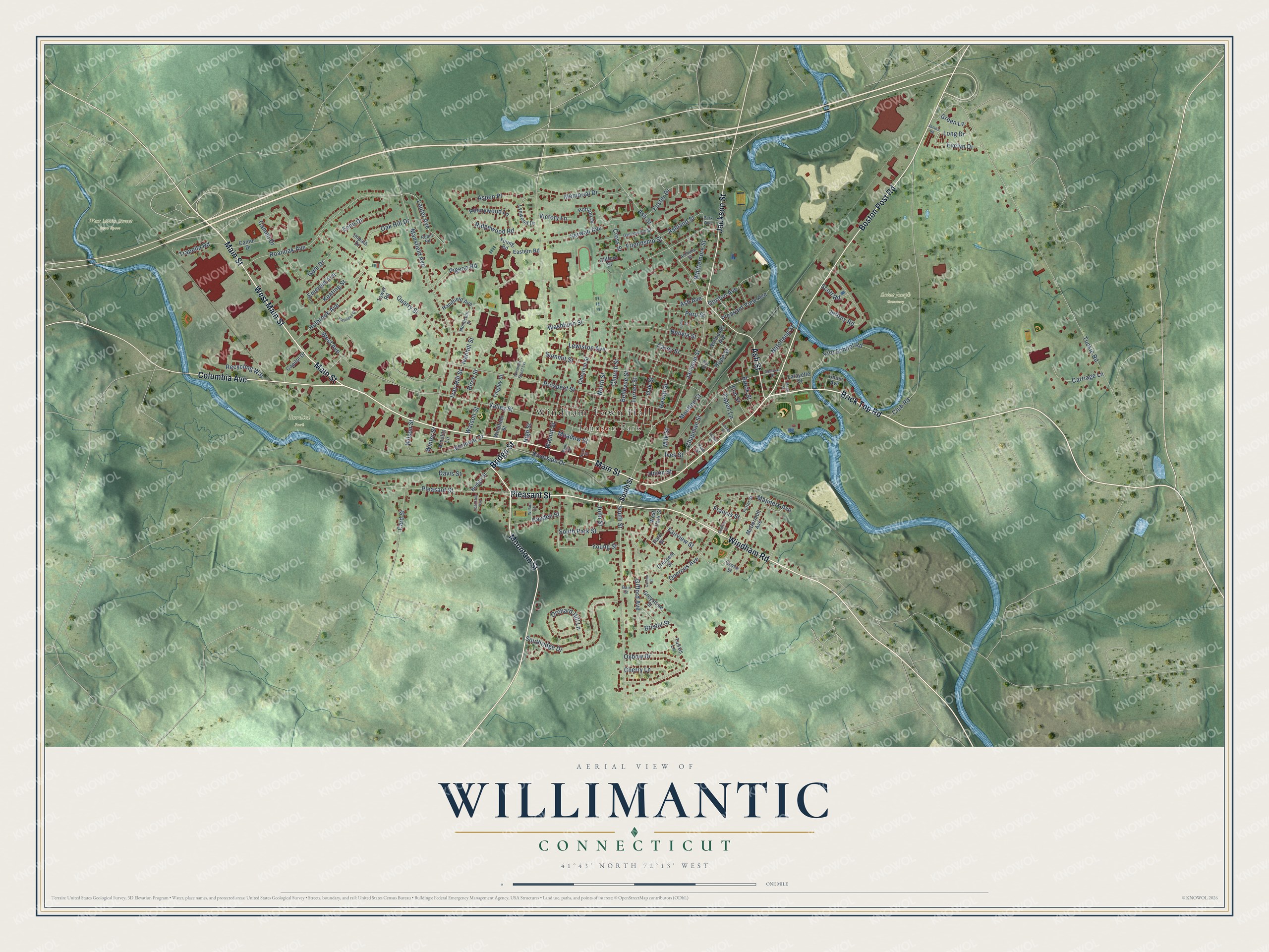
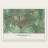
Explore Willimantic, Connecticut from a whole new perspective. Created using aerial imagery and detailed geographic data, this map captures Willimantic building by building, with labeled streets, familiar landmarks, and shaded topographical relief that highlights the natural contours of the landscape.
Combining modern data with the timeless character of a vintage atlas, this map is just as interesting up close as it is beautiful on the wall. Whether you grew up in Willimantic, spent memorable years there, or call it home today, this unique map is a great way to celebrate a place that means something to you. Zoom in on the preview to look for your street, and then order a print to put your memories on the wall.
Three ways to hang it
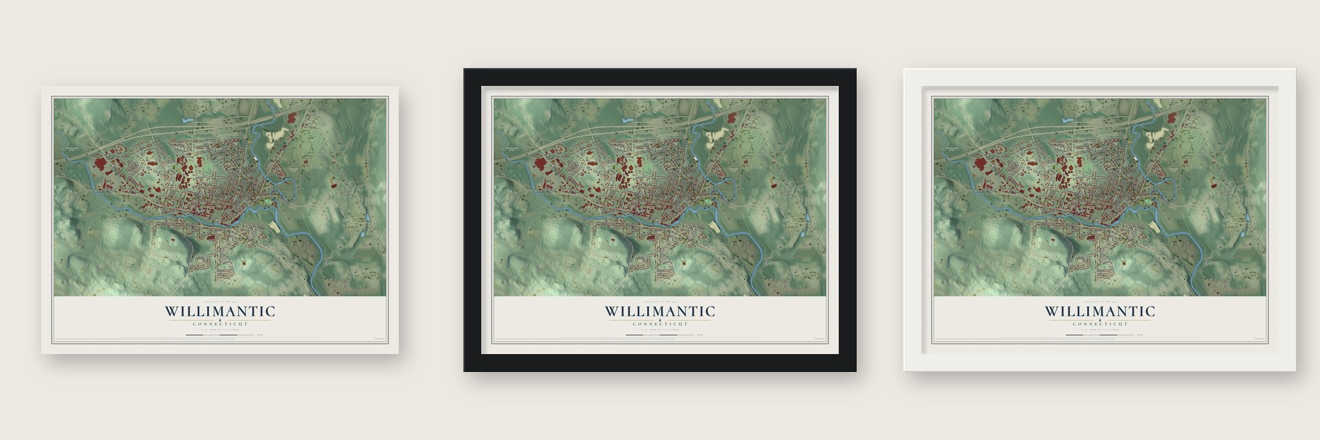
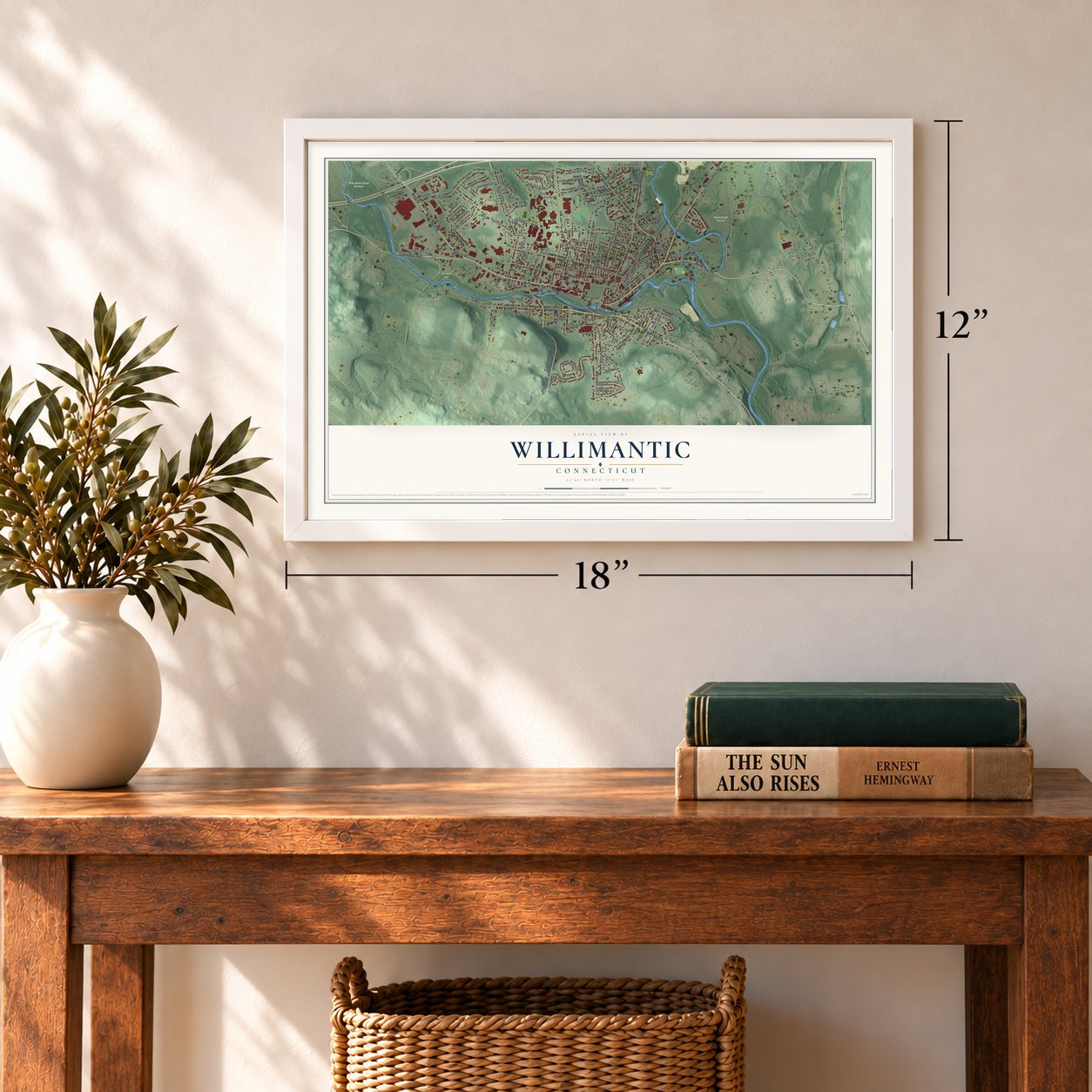
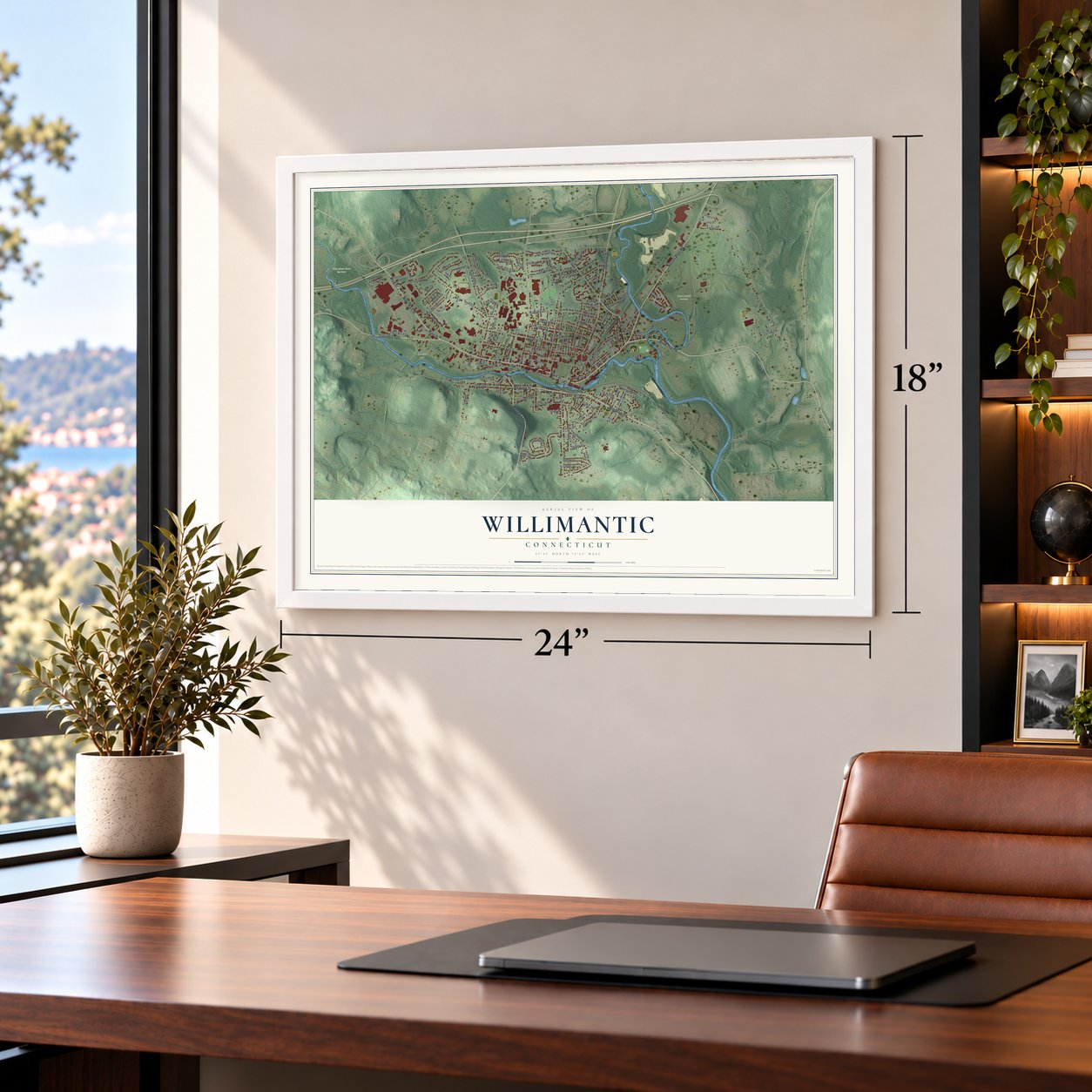
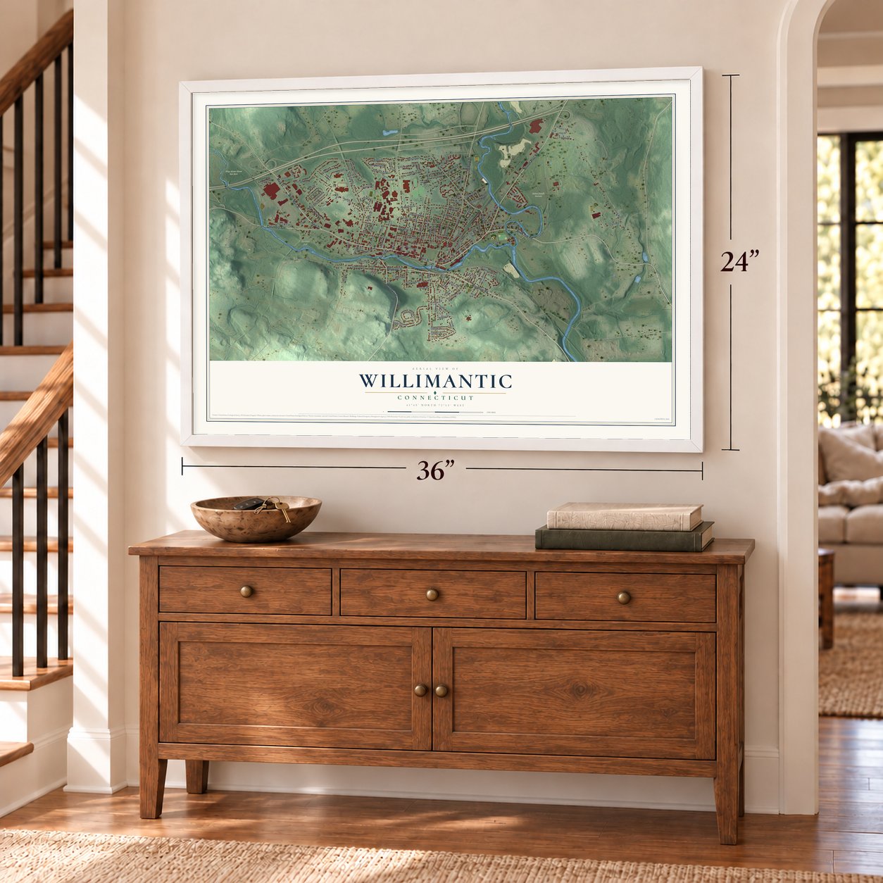
Unframed archival matte, a black wood frame or a white wood frame.
Up close
Geography Worth Displaying
This map was created using accurate cartographic data and authoritative geographic sources, including the U.S. Geological Survey and the Census Bureau. The map brings together terrain, waterways, roads, and building detail. The majority of the streets are labeled, houses are accurately depicted, and the topography is derived from government sources. Combining local data with carefully composed color and shading leads to this beautifully detailed Willimantic artwork for your wall.
Rather than simply showing street outlines, we’ve included as many of the street names as we could reasonably fit on the map while keeping their names legible. Zoom in on the high resolution preview to see exactly what’s on the map. We truly set out to create a statement piece for anyone who loves Willimantic. So whether it’s for you, or a gift for someone you love, we hope this map of Willimantic brings back fond memories.
Read the story behind this map of Willimantic, Connecticut from 2026.
Find your street
Names on the Willimantic map
Every name below is printed on this map. Look for your street, your school, the park where you played, or the pond down the road.
Places and landmarks5
- Windham Town Hall
- Johnson Park
- Burdick Park
- Saint Joseph Cemetery
- West Main Street Open Space
Streets and roads147
- Main Street
- Windham Road
- Brick Top Road
- Pleasant Street
- Boston Post Road
- Mountain Street
- West Main Street
- Columbia Avenue
- Jackson Street
- Ash Street
- Bridge Street
- Chapman Street
- Ash Avenue
- North Street
- Cross Street
- Vermont Drive
- Tuckie Road
- Valley Street
- Club Road
- High Street
- Mansfield Avenue
- Prospect Street
- South Street
- Roanoak Avenue
- Quarry Street
- Walnut Street
- Lewiston Avenue
- Summit Street
- Church Street
- Southridge Drive
Show all 147 streets
- Oxbow Drive
- South Park Street
- Riverside Drive
- Oak Street
- Jeffrey Road
- Manners Avenue
- Birch Street
- Holbrook Avenue
- Gifford Avenue
- Orchard Hill Lane
- Cameo Drive
- Fairview Street
- Ivan Hill Street
- Bolivia Street
- Memorial Drive
- Ives Street
- Fire School Road
- Lauter Avenue
- Gem Drive
- Emerald Avenue
- Card Street
- Serwan Avenue
- Oak Hill Drive
- Quercus Avenue
- Whittemore Street
- Bellevue Street
- Ridgewood Road
- Hope Street
- Friendship Street
- Ivanhill Street
- Aspen Place
- West Avenue
- Echo Drive
- Trapella Road
- Young Street
- Gordon Avenue
- Carriage Lane
- Evelyn Drive
- Francis Street
- Pleasant View Avenue
- Brook Street
- Pennywood Lane
- Milk Street
- Natchaug Street
- Pigeon Road
- Carey Street
- Turner Street
- Hayden Street
- Keating Street
- Long Drive
- Elm Street
- Moulton Court
- Ashland Street
- Union Street
- Cherry Lane
- Washburn Street
- Recycling Way
- Hewitt Street
- Watson Street
- Foster Drive
- Meadow Street
- Peru Street
- Victory Lane
- Wilson Street
- Capen Lane
- Scott Road
- Davis Street
- Bristol Street
- Green Lane
- John Street
- Winter Street
- Chestnut Street
- Crescent Street
- McDermott Avenue
- Tingley Street
- Windham Street
- Eastern Road
- Lynwood Drive
- Impala Drive
- Park Street
- Cantor Drive
- Union Avenue
- Handfield Avenue
- Greystone Street
- West Park Street
- Horizon Drive
- Normandy Avenue
- Young Road
- Lafayette Street
- Tunxis Lane
- Capitol Drive
- Clifford Street
- Arnolds Lane
- Tower Road
- Grove Street
- Greenwood Street
- Potter Street
- Monticello Street
- Anthony Street
- Bain Street
- Robin Road
- Ann Street
- Park Avenue
- Pine Street
- Adelbert Street
- Windham Street Extension
- James Road
- Godfrey Street
- Lima Street
- Kathleen Drive
- Bank Street
- Willard Street
- Connor Street
- Johnston Avenue
- Mayo Street
- Beech Street
- Linden Street
Names are listed as they appear on the printed map. Zoom into the product photos to find them.
About Willimantic, Connecticut
Willimantic is a community of 18,149 people in the town of Windham, where the Willimantic and Natchaug rivers join to form the Shetucket. Samuel Ashley became its first settler when he bought land here in 1717, and the place was long known as Willimantic Falls. The river fell over 90 feet in less than a mile, and that power drew mill builders. A wool picking and carding mill opened in 1806, and thread mills followed from 1822. The village became a borough in 1833.
In 1854 a group of Hartford investors bought the Jillson Mills and formed the Willimantic Linen Company, which finished its first mill on the river in 1857. Its Mill No. 4, completed in 1880, was the first mill anywhere planned for electric light, and the biggest mill on earth when it opened. Thread made the place prosper. In 1860 it had fewer than 5,000 people, but by 1910 its population had passed 12,100. It became a city in 1893 and earned the name Thread City. The company became American Thread in 1898. The city rejoined Windham in 1983, and the mill closed in 1985 when the company moved to North Carolina.
- A library above the storeIn 1878 the Dunham Hall Library opened on the third floor, above the mill's company store. Wealthy shareholders gave its first 600 books, and by 1920 it held 7,000 volumes. It stayed open from 5:30 to 9:30 in the evening for every mill worker and anyone else in town, and it lasted until 1941.
- The footbridge of 1907The Willimantic Footbridge, built in 1907, carries walkers over a road, a railroad and a river at once. No other footbridge in the United States links two state highways.
- A hundred trains a dayTwo railroads reached Willimantic in 1849: the Central Vermont, running north from New London toward Vermont, and the Hartford, Providence and Fishkill, running east and west. A New York and New England line from Boston arrived in 1872. In the first decades of the twentieth century, up to a hundred trains a day came through town, and trolleys ran to Norwich from 1903 to 1936 and to Coventry from 1909 to 1926.
- Boom boxes since 1986When no marching band was available for the Memorial Day parade in 1986, residents brought boom boxes tuned to WILI, the local AM station, and marched to the radio instead. The Boom Box Parade now steps off every Fourth of July and has drawn national notice from the Washington Post.
- Frogs on thread spoolsThe Thread City Crossing opened over the Willimantic River in September 2000. Locals call it the Frog Bridge for its green bronze frogs, each eight feet high, perched on concrete thread spools. The spools stand for the mills, and the frogs recall a local legend, the Windham Frog Fight of 1754.
Keep exploring Connecticut
Willimantic is one of 382 Connecticut towns we've mapped. Every dot on the map is a print of its own.
The search covers every state, Connecticut first.
Near Willimantic
Order 2 or more town maps and save 10%. Shown in the size and finish you picked above, so they hang as a set.
- Windham 12" x 18" / Archival Matte Print $39.99
- South Windham 12" x 18" / Archival Matte Print $39.99
- North Windham 12" x 18" / Archival Matte Print $39.99

More maps nearby: Mansfield Center, Columbia, Mansfield, South Coventry and Lebanon.
The art of mapping a place
How This Map Was Made
Real places. Remarkable detail. Discover the layers that turn geographic data into a map of home.

The view from above
Aerial imagery reveals the character of the land: woodland, open fields, and the patterns of a place.

The shape of the land
Elevation data brings hills, valleys, and subtle changes in the landscape into view.

The details of home
Roads, waterways, and building footprints come together to make the map feel unmistakably local.

Geography becomes art
Considered color, shading, and typography bring the layers together in a map made for your wall.


Process illustrated with Mendon, Massachusetts. Aerial imagery: USDA NAIP. Terrain: USGS 3D Elevation Program. Map details and finished artwork: KNOWOL.
The Details
About This Print
Choose an archival matte print, or a black or white Ayous wood frame. The archival matte print is unframed.
Select your size and finish above to see the matching product image and price.
Materials & Craftsmanship
A contemporary map with the character of a classic atlas, printed on archival matte paper. Optional frames are made from Ayous wood.
Your printed map does not include the watermark shown in the full-map preview.
Shipping & Delivery
Free shipping within the United States. Every print is made to order in the USA.
Buying a gift? Add a note in your cart and we'll include it. We never put prices in the package.
Prints ship within 2 to 3 business days. Allow 7 to 10 days total from ordering for delivery. Timing may vary during holidays or periods of high order volume.
Read our shipping policy.
Returns and damaged prints
Each print is made to order. Change-of-mind refunds are not available after production.
If your print arrives damaged, misprinted or incorrect, contact support@knowol.com within 30 days of receiving it. Include your order number, photos and a description of the issue.
Read our full refund and replacement policy. For questions about your order, email support@knowol.com.