
Search for another town
Free U.S. delivery 7 to 10 days after you order
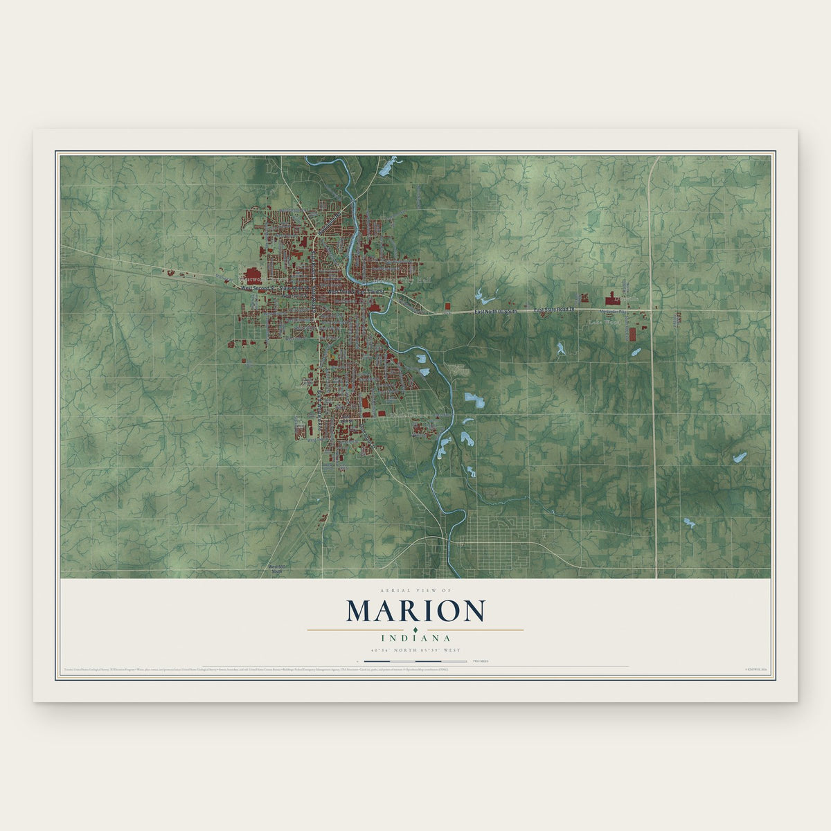
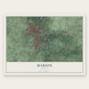
Marion, Indiana Map Art
Building by building, with labeled streets and shaded relief.
12" x 18" Archival Matte Print
A Map of Home. A Work of Art.
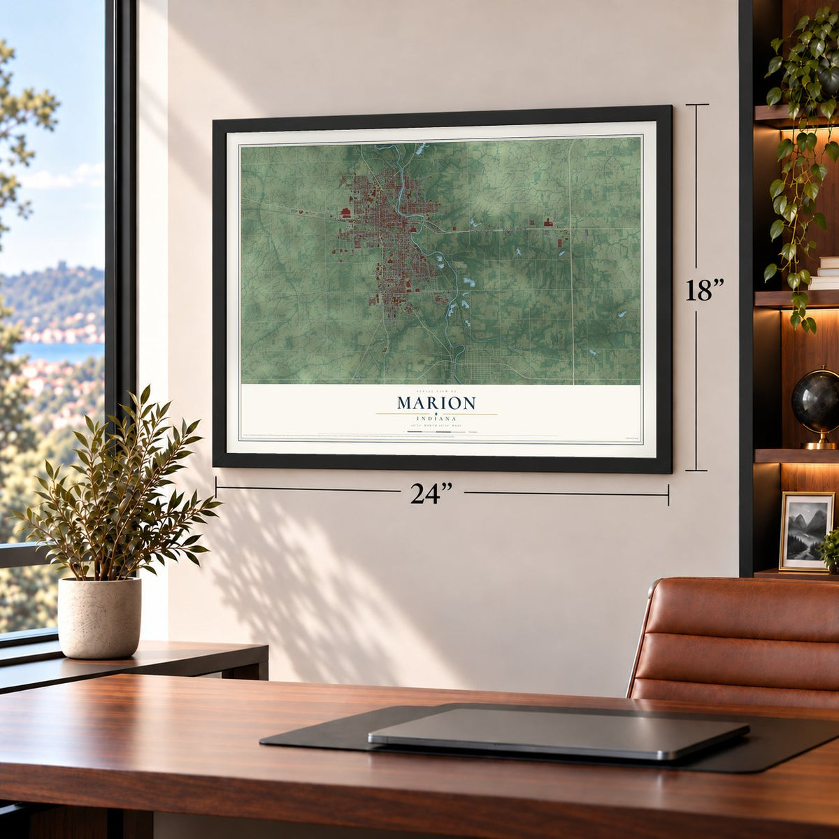
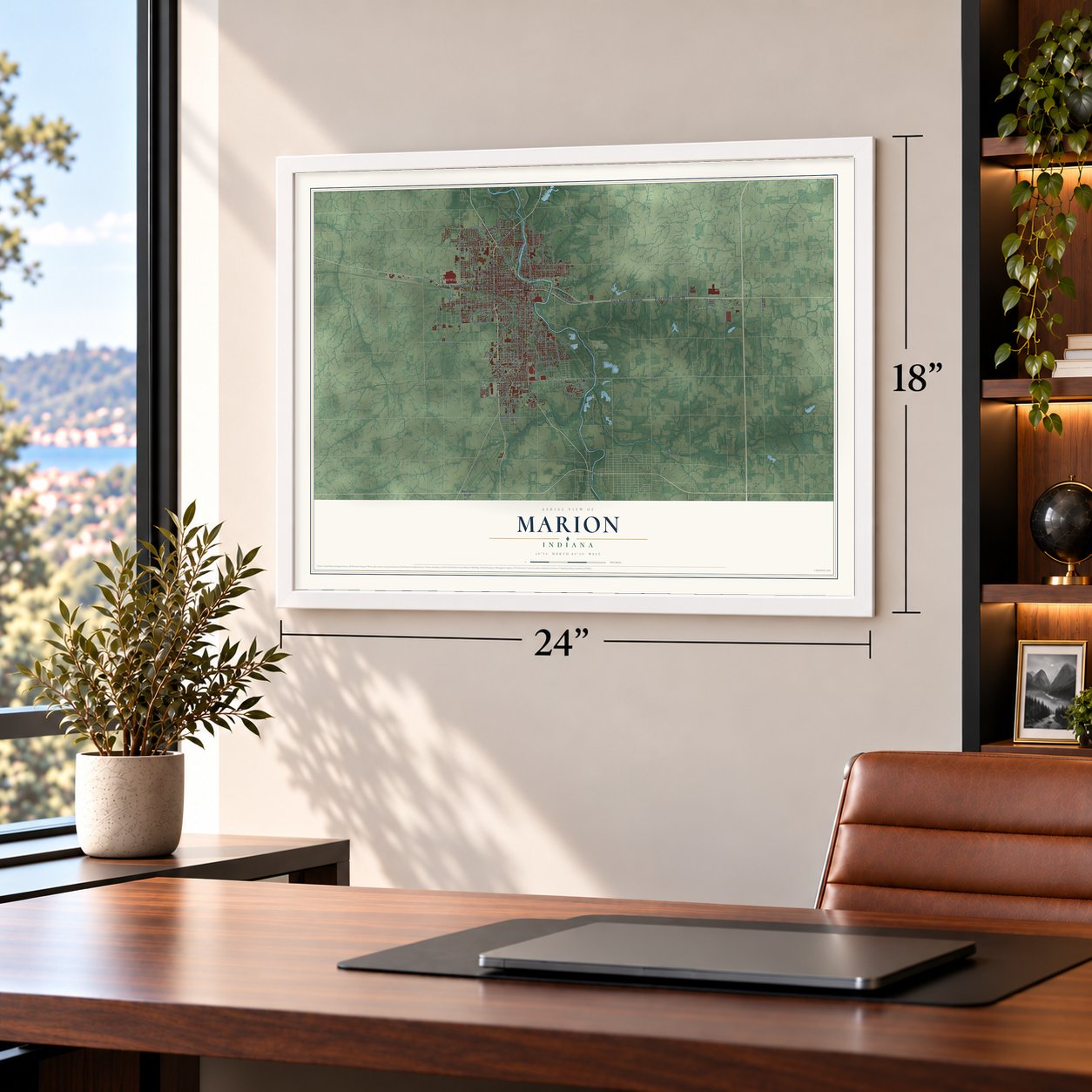
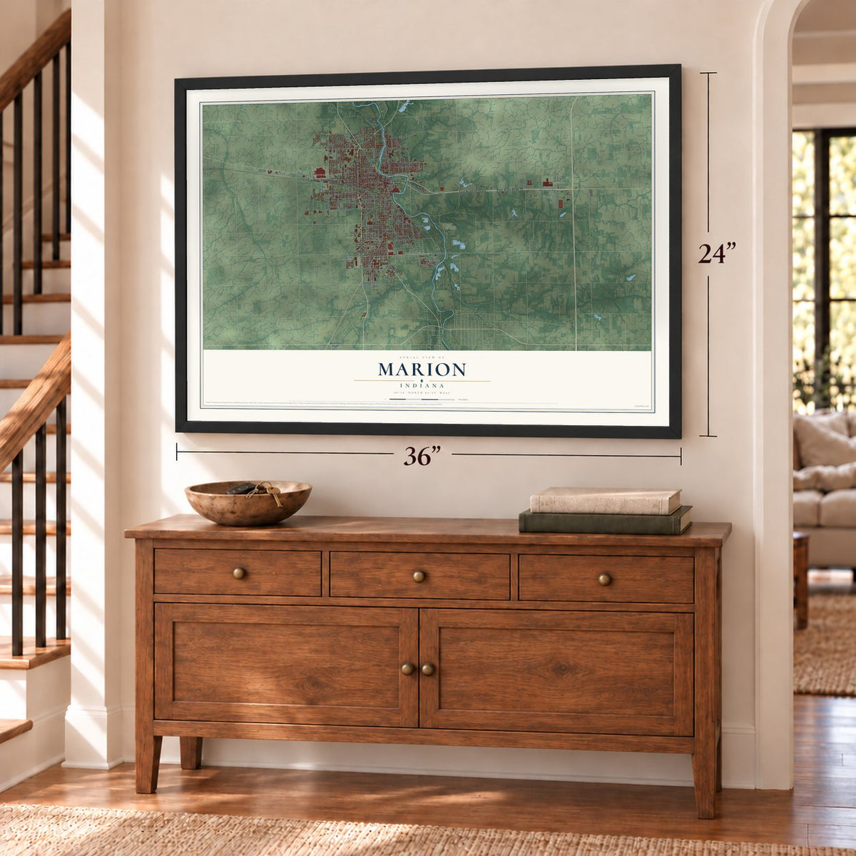
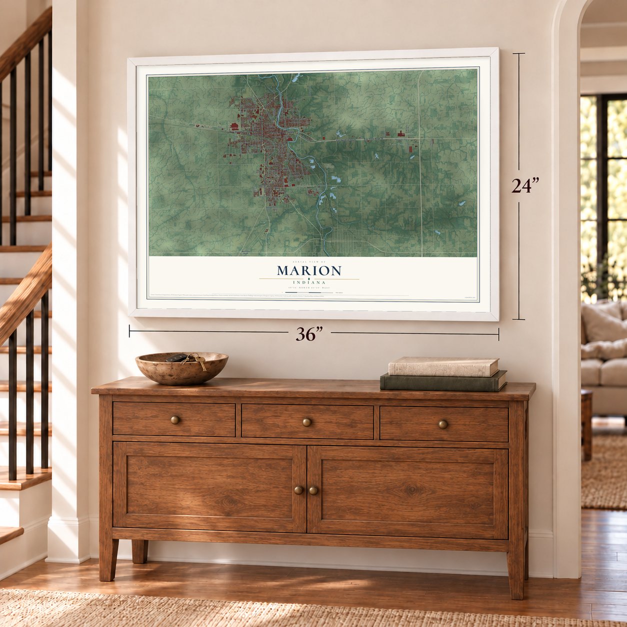
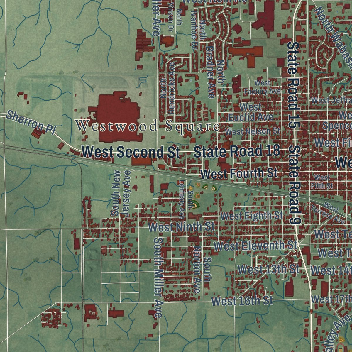
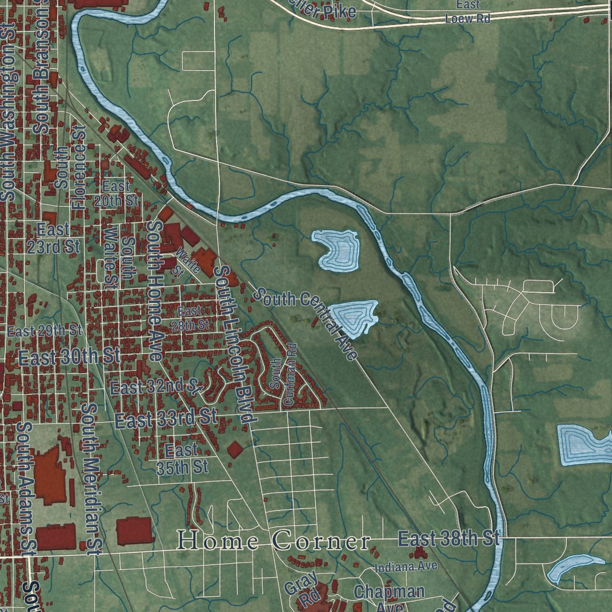
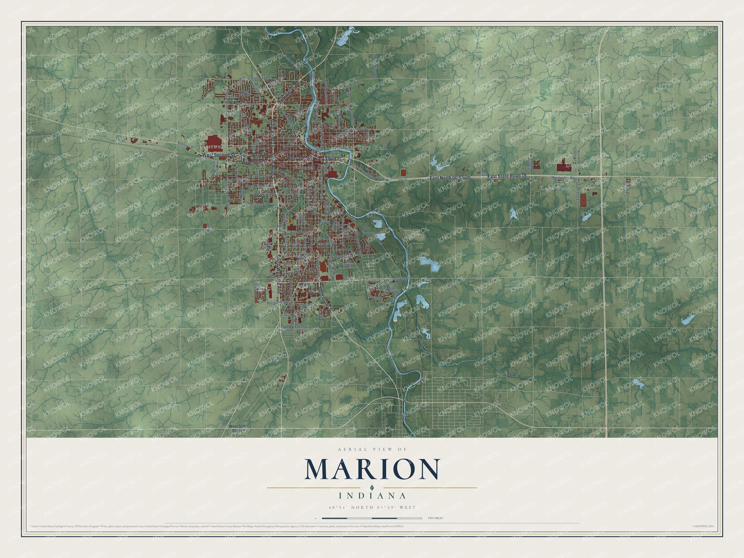
Explore Marion, Indiana from a whole new perspective. Created using aerial imagery and detailed geographic data, this map captures Marion building by building, with labeled streets, familiar landmarks, and shaded topographical relief that highlights the natural contours of the landscape.
Combining modern data with the timeless character of a vintage atlas, this map is just as interesting up close as it is beautiful on the wall. Whether you grew up in Marion, spent memorable years there, or call it home today, this unique map is a great way to celebrate a place that means something to you. Zoom in on the preview to look for your street, and then order a print to put your memories on the wall.
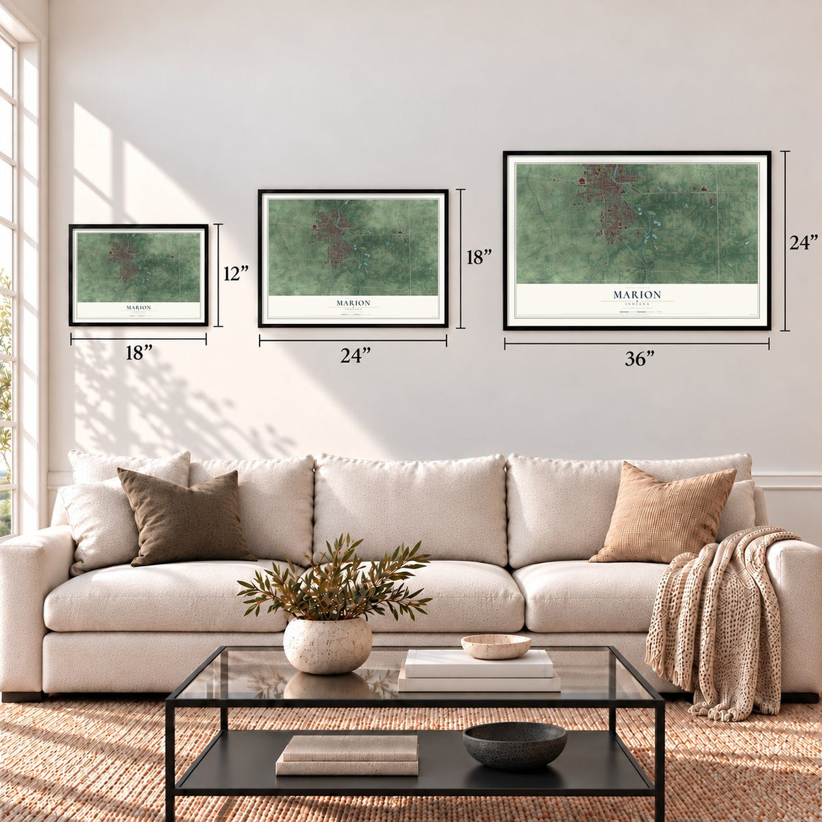
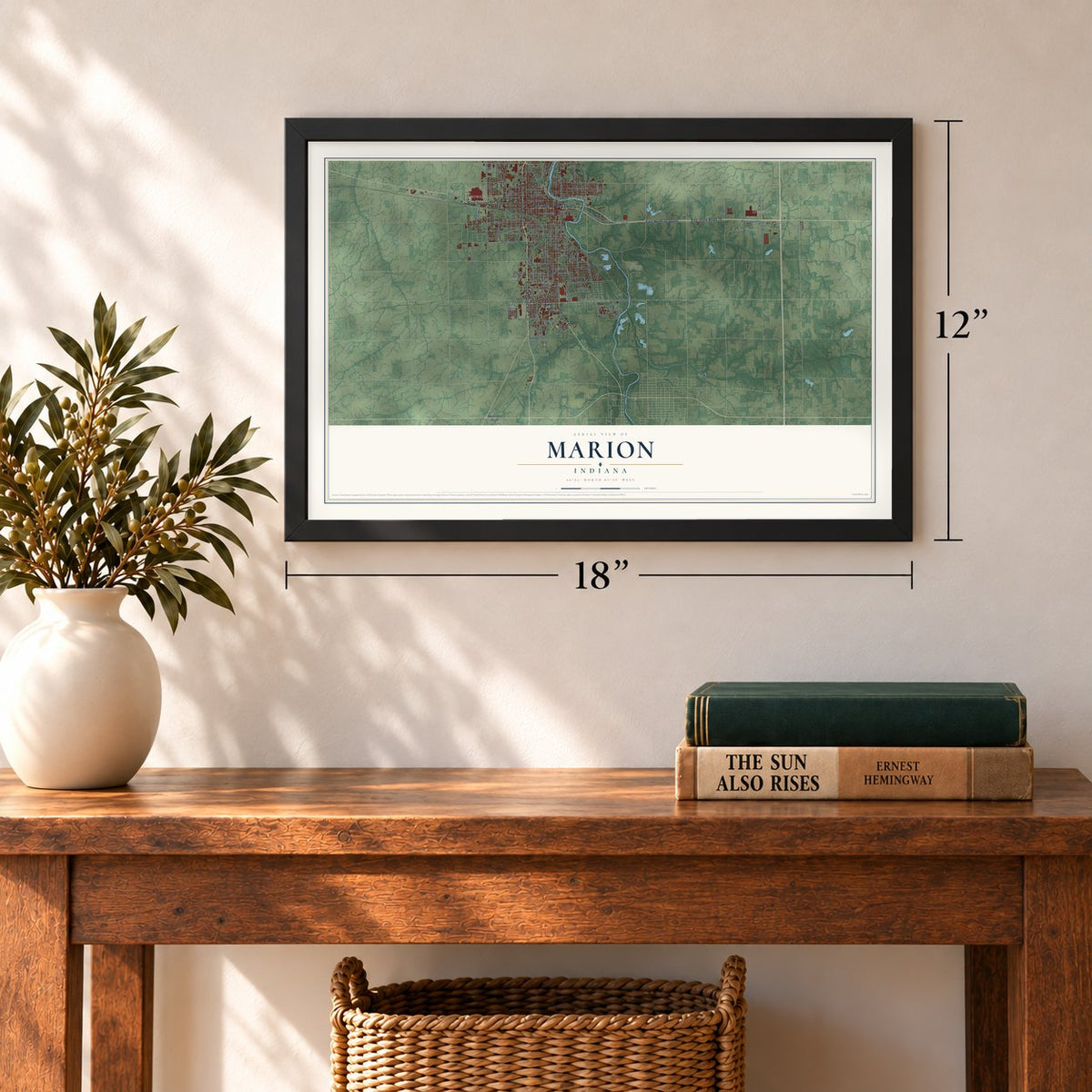
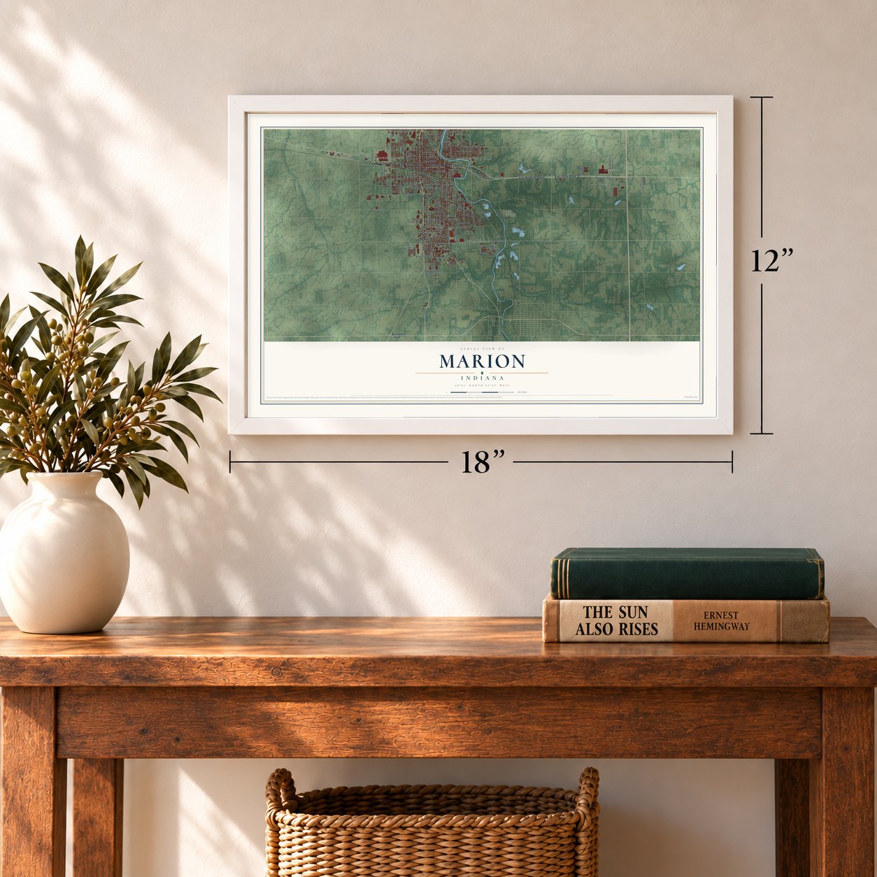
Three ways to hang it
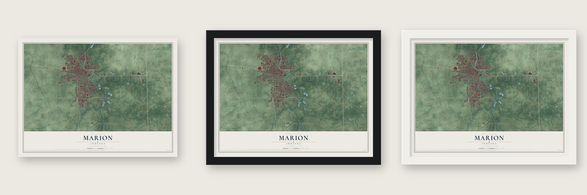
Unframed archival matte, a black wood frame or a white wood frame.
Up close
Geography Worth Displaying
This map was created using accurate cartographic data and authoritative geographic sources, including the U.S. Geological Survey and the Census Bureau. The map brings together terrain, waterways, roads, and building detail. The majority of the streets are labeled, houses are accurately depicted, and the topography is derived from government sources. Combining local data with carefully composed color and shading leads to this beautifully detailed Marion artwork for your wall.
Rather than simply showing street outlines, we’ve included as many of the street names as we could reasonably fit on the map while keeping their names legible. Zoom in on the high resolution preview to see exactly what’s on the map. We truly set out to create a statement piece for anyone who loves Marion. So whether it’s for you, or a gift for someone you love, we hope this map of Marion brings back fond memories.
Read the story behind this map of Marion, Indiana from 2026.
Find your street
Names on the Marion map
Every name below is printed on this map. Look for your street, your school, the park where you played, or the pond down the road.
Places and landmarks5
- Marion City Hall
- Dooville
- Lake Wood
- Home Corner
- Westwood Square
Streets and roads131
- East State Road 18
- State Road 15
- Huntington Road
- East North 00 South
- State Road 18
- State Road 9
- East Third Street
- West Third Street
- South Western Avenue
- West Second Street
- East 38th Street
- South Washington Street
- East Bradford Street
- South Nebraska Street
- South Carey Street
- North River Drive
- West Sixth Street
- West 44th Street
- Montpelier Pike
- South Boots Street
- South Lincoln Boulevard
- South Adams Street
- West Ninth Street
- South Gallatin Street
- West 16th Street
- West Tenth Street
- West Kem Road
- West Chapel Pike
- South Meridian Street
- West Eleventh Street
Show all 131 streets
- North Miller Avenue
- South Branson Street
- North Washington Street
- South Valley Avenue
- West Twelfth Street
- South Landess Street
- North Meridian Street
- South Home Avenue
- West First Street
- East 33rd Street
- South Miller Avenue
- East Sherman Street
- West 13th Street
- North King Road
- North Wabash Avenue
- North Branson Street
- West 14th Street
- East 30th Street
- North Horton Street
- East 45th Street
- Black Road
- South 600 East
- Starkey Drive
- Sherron Place
- Water Street
- West Fourth Street
- West 500 South
- North Matter Park Road
- West 36th Street
- Fox Run Drive
- South Race Street
- West Eighth Street
- West Spencer Avenue
- South Selby Street
- North Quarry Road
- West 26th Street
- West Euclid Avenue
- South Harmon Street
- East Bond Avenue
- West 31st Street
- East 32nd Street
- West 17th Street
- South Waite Street
- West 30th Street
- East Montpelier Pike
- North Bradner Avenue
- South Florence Street
- South Central Avenue
- South Norton Avenue
- North 600 East
- South New Jersey Avenue
- Pennsylvania Street
- Chapman Avenue
- East 35th Street
- 100 South
- North River Road
- North 500 East
- North Carroll Street
- Gray Road
- West Wilno Drive
- South 700 East
- West 50th Street
- East 23rd Street
- East 50th Street
- West Nelson Street
- West Jeffras Avenue
- West 35th Street
- East 29th Street
- North Ivanhoe Drive
- North Hendricks Avenue
- South Shunk Street
- East 20th Street
- West North Drive
- East 41st Street
- South Star Drive
- Eagle Lane
- West Fifth Street
- South Poplar Street
- South Lenfesty Avenue
- East 28th Street
- West Factory Avenue
- Indiana Avenue
- East Lincoln Street
- East 46th Street
- South Curfman Road
- East 36th Street
- West 25th Street
- Prince Hall Drive
- East Sixth Street
- West Terrace Avenue
- North Gregg Drive
- West 38th Street
- North Vinson Drive
- Morrow Road
- Waite Street
- East 47th Street
- North Denver Drive
- North 400 East
- East Loew Road
- Boles Drive
- West Fall Drive
Names are listed as they appear on the printed map. Zoom into the product photos to find them.
About Marion, Indiana
Marion is a city of 28,310 people on the Mississinewa River, and it is the county seat of Grant County. In 1831 Martin Boots and David Branson each gave 30 acres for a town site on the river's left bank. The Miami called the swift river Mississinewa, meaning "falling water." Grant County was formed that same year, and Marion was made its seat. The town was named for Francis Marion, the Revolutionary War general known as the "Swamp Fox" of South Carolina.
For more than 50 years Marion grew slowly as a trading town for nearby farms. Then, in the 1880s, natural gas was found under much of east-central Indiana, and Grant County boomed. The gas ran low before World War I, but some industries stayed, especially glass makers. After 1955 a new General Motors stamping and tool plant brought many jobs. In the 1950s Marion grew faster than every Indiana city of 10,000-100,000 people but one, not counting suburbs.
- The Battle of the MississinewaIn December 1812, troops sent by William Henry Harrison attacked the Miami villages 7 miles downstream from the future town site, in a bloody fight before dawn. Every fall, local residents and visiting reenactors from across the United States and Canada stage the battle again at the Mississinewa 1812 festival. It is the biggest War of 1812 reenactment in the country.
- A soldiers' home since 1888On July 23, 1888, Congress created the Marion Branch, its seventh home for disabled Union veterans, and set aside $200,000 to build it. Marion won the home because it had natural gas and the backing of Congressman Colonel George Washington Steele. Grant County residents supplied the gas to heat and light it. Its first hospital went up in 1889, and the grounds are now part of the VA Northern Indiana Health Care System.
- Eight state titles for the GiantsThe Marion Giants have won the Indiana state basketball championship eight times. After their first title in 1926, the city built the Memorial Coliseum to honor war veterans, and the team played there for years. The Giants now play in the Bill Green Athletic Arena, which seats 7,500.
- Christmas City U.S.A.A local group started Christmas City U.S.A. in 1965, and it holds a Christmas parade every year on the Saturday before Thanksgiving. In 1991 Mayor Ron Mowery, Mark Erlewine and other residents set out to live up to the name. They strung lights along the Mississinewa Riverwalk, and the Walkway of Lights opened in 1992 with nearly 56,000 lights. It now has more than 2,000,000 lights along nearly 4 miles.
- James Dean and Jim DavisMarion is where the actor James Dean was born, and it is also the birthplace of Jim Davis, the cartoonist who created Garfield. The paper plate industry began here too: in its early years, five of the nation's nine plants were in Marion.
Keep exploring Indiana
Marion is one of 1,023 Indiana towns we've mapped. Every dot on the map is a print of its own.
The search covers every state, Indiana first.
Near Marion
Order 2 or more town maps and save 10%. Shown in the size and finish you picked above, so they hang as a set.
- Jonesboro 12" x 18" / Archival Matte Print $39.99
- Gas City 12" x 18" / Archival Matte Print $39.99
- Sweetser 12" x 18" / Archival Matte Print $39.99
More maps nearby: Jalapa, Landess, Herbst, Mier and Swayzee.
The art of mapping a place
How This Map Was Made
Real places. Remarkable detail. Discover the layers that turn geographic data into a map of home.

The view from above
Aerial imagery reveals the character of the land: woodland, open fields, and the patterns of a place.

The shape of the land
Elevation data brings hills, valleys, and subtle changes in the landscape into view.

The details of home
Roads, waterways, and building footprints come together to make the map feel unmistakably local.

Geography becomes art
Considered color, shading, and typography bring the layers together in a map made for your wall.


Process illustrated with Mendon, Massachusetts. Aerial imagery: USDA NAIP. Terrain: USGS 3D Elevation Program. Map details and finished artwork: KNOWOL.
The Details
About This Print
Choose an archival matte print, or a black or white Ayous wood frame. The archival matte print is unframed.
Select your size and finish above to see the matching product image and price.
Materials & Craftsmanship
A contemporary map with the character of a classic atlas, printed on archival matte paper. Optional frames are made from Ayous wood.
Your printed map does not include the watermark shown in the full-map preview.
Shipping & Delivery
Free shipping within the United States. Every print is made to order in the USA.
Buying a gift? Add a note in your cart and we'll include it. We never put prices in the package.
Prints ship within 2 to 3 business days. Allow 7 to 10 days total from ordering for delivery. Timing may vary during holidays or periods of high order volume.
Read our shipping policy.
Returns and damaged prints
Each print is made to order. Change-of-mind refunds are not available after production.
If your print arrives damaged, misprinted or incorrect, contact support@knowol.com within 30 days of receiving it. Include your order number, photos and a description of the issue.
Read our full refund and replacement policy. For questions about your order, email support@knowol.com.