
Search for another town

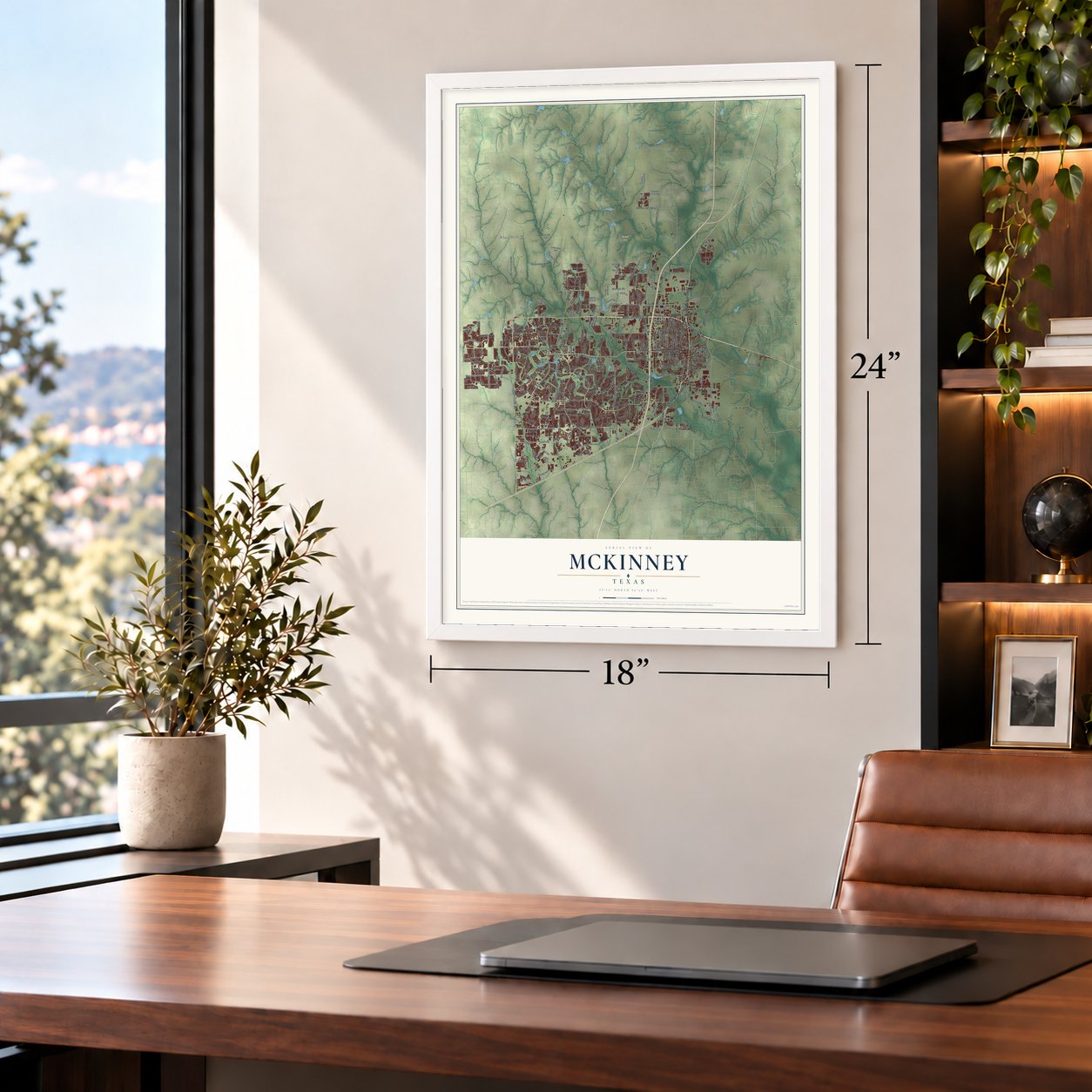
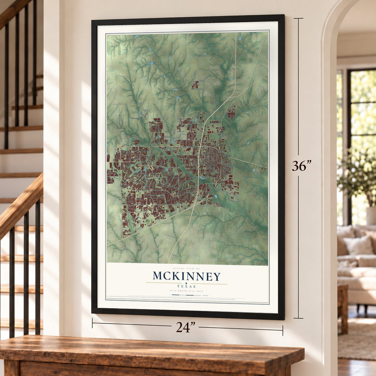
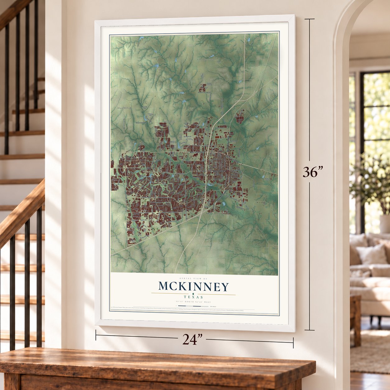
Free U.S. delivery 7 to 10 days after you order
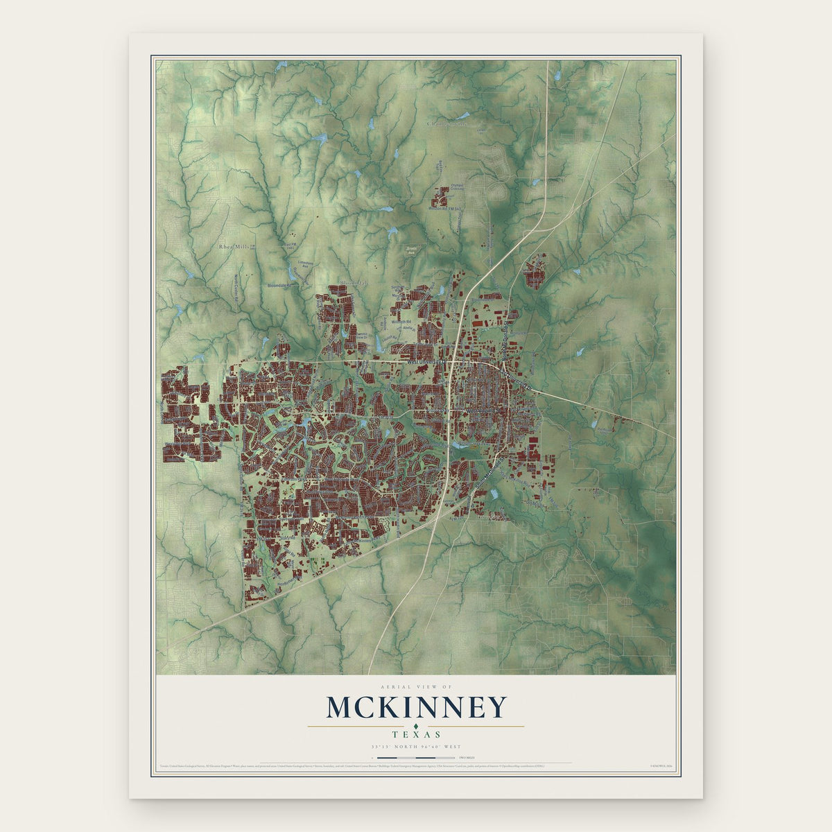
McKinney, Texas Map Art
Building by building, with labeled streets and shaded relief.
12" x 18" Archival Matte Print
A Map of Home. A Work of Art.
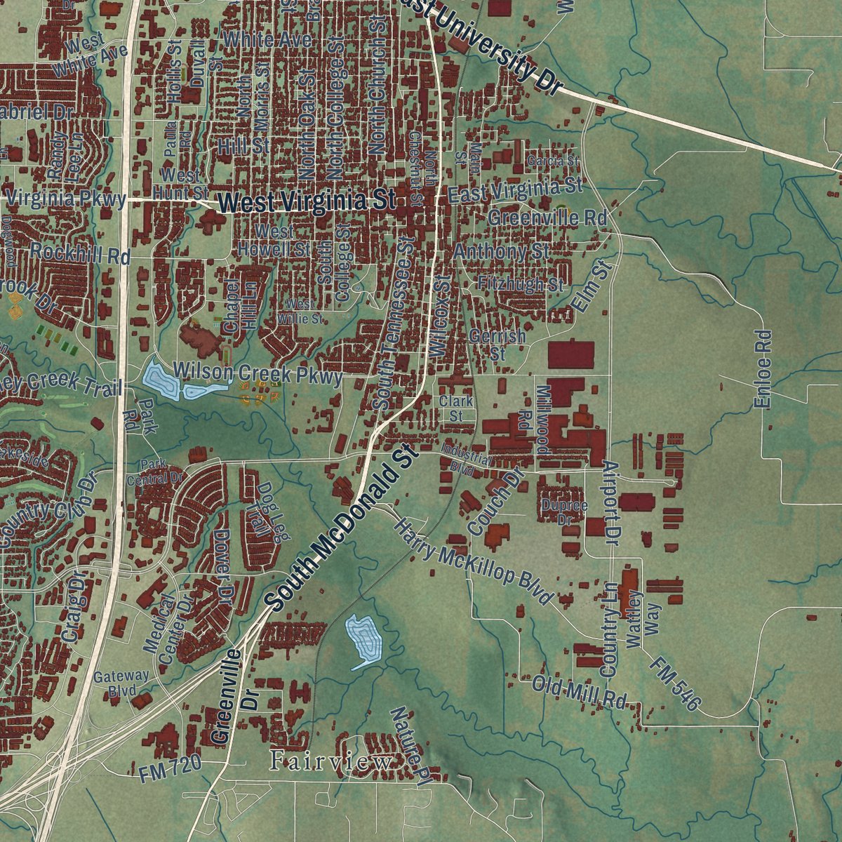
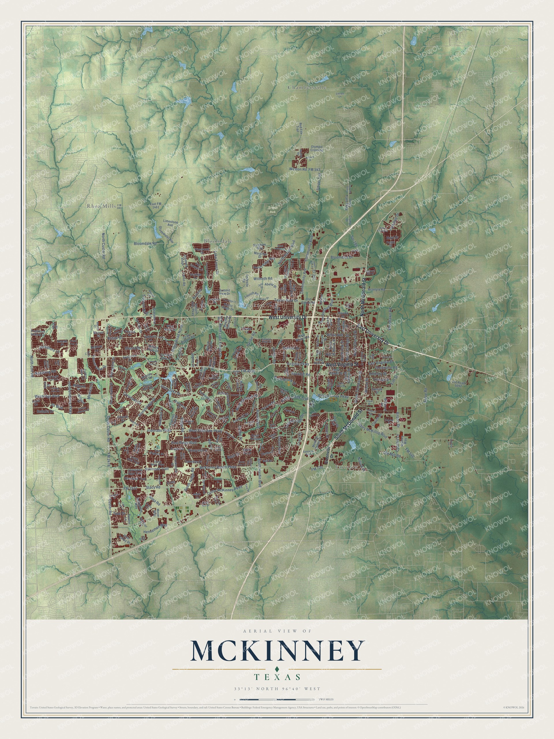
Explore McKinney, Texas from a whole new perspective. Created using aerial imagery and detailed geographic data, this map captures McKinney building by building, with labeled streets, familiar landmarks, and shaded topographical relief that highlights the natural contours of the landscape.
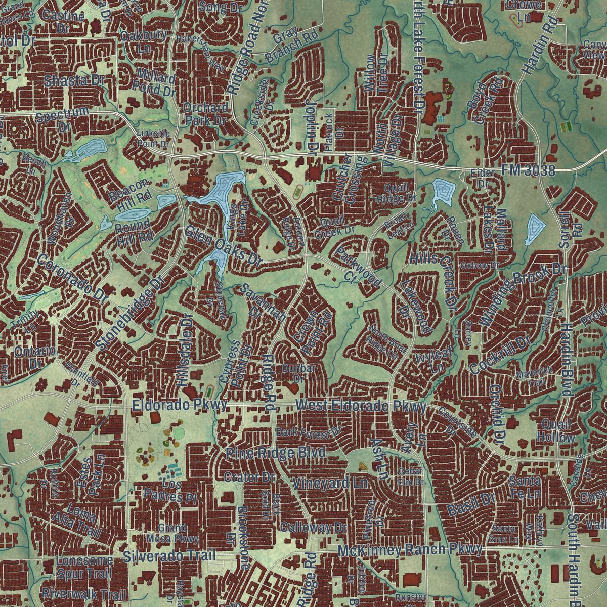
Combining modern data with the timeless character of a vintage atlas, this map is just as interesting up close as it is beautiful on the wall. Whether you grew up in McKinney, spent memorable years there, or call it home today, this unique map is a great way to celebrate a place that means something to you. Zoom in on the preview to look for your street, and then order a print to put your memories on the wall.
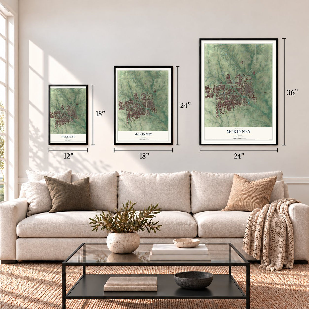
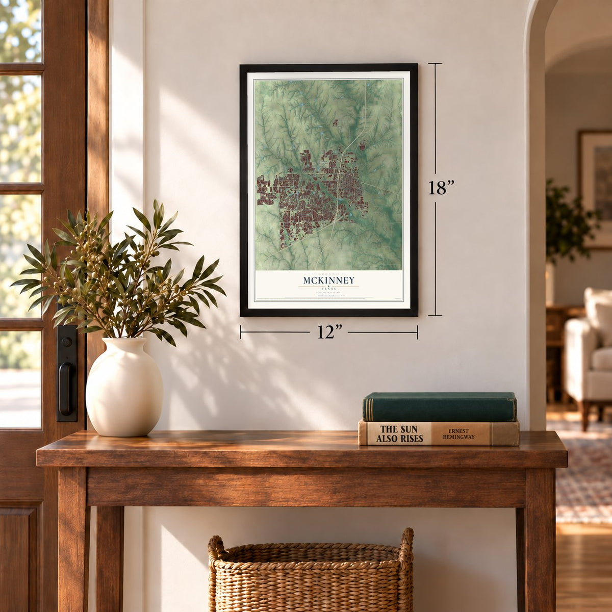
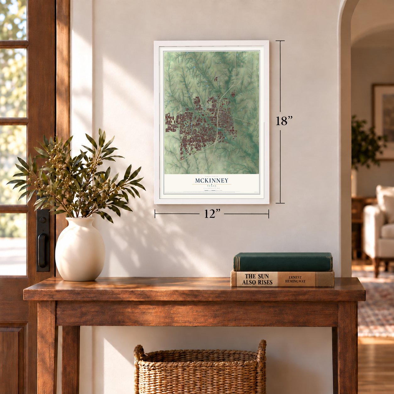
Three ways to hang it
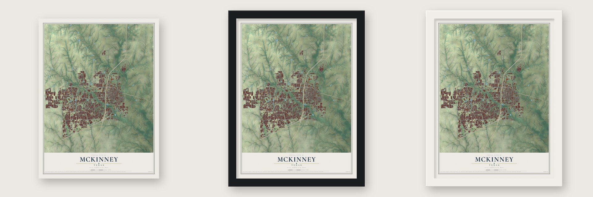
Unframed archival matte, a black wood frame or a white wood frame.
Up close
Geography Worth Displaying
This map was created using accurate cartographic data and authoritative geographic sources, including the U.S. Geological Survey and the Census Bureau. The map brings together terrain, waterways, roads, and building detail. The majority of the streets are labeled, houses are accurately depicted, and the topography is derived from government sources. Combining local data with carefully composed color and shading leads to this beautifully detailed McKinney artwork for your wall.
Rather than simply showing street outlines, we’ve included as many of the street names as we could reasonably fit on the map while keeping their names legible. Zoom in on the high resolution preview to see exactly what’s on the map. We truly set out to create a statement piece for anyone who loves McKinney. So whether it’s for you, or a gift for someone you love, we hope this map of McKinney brings back fond memories.
Read the story behind this map of McKinney, Texas from 2026.
Find your street
Names on the McKinney map
Every name below is printed on this map. Look for your street, your school, the park where you played, or the pond down the road.
Places and landmarks6
- Erwin Park
- Fairview
- Chambersville
- Rhea Mills
- Buckner
- Bloomdale
Streets and roads309
- North McDonald Street
- South McDonald Street
- East University Drive
- West Virginia Street
- West University Drive
- Virginia Parkway
- Stacy Road
- McKinney Ranch Parkway
- Bloomdale Road
- South Custer Road
- Spr 195
- Henneman Way
- Ridge Road
- Alma Road
- Rockhill Road
- FM 2478
- Ridge Road North
- East Virginia Street
- FM 720
- North Brook Drive
- North Redbud Boulevard
- West Eldorado Parkway
- Lake Forest Drive
- Stonebridge Drive
- Custer Road
- Hardin Boulevard
- Collin McKinney Parkway
- FM 546
- Wilmeth Road
- Hardin Road
Show all 309 streets
- Airport Drive
- FM 3038
- Eldorado Parkway
- South Hardin Boulevard
- Westridge Boulevard
- North Custer Road
- Community Boulevard
- Independence Parkway
- North Lake Forest Drive
- Wilson Creek Parkway
- Glen Oaks Drive
- Taylor-Burk Drive
- Old Mill Road
- Community Avenue
- Silverado Trail
- Enloe Road
- White Avenue
- Elm Street
- Valley Creek Trail
- North Church Street
- Country Club Drive
- Harry McKillop Boulevard
- North Coit Road
- North College Street
- Falcon View Drive
- North Oak Street
- Coronado Drive
- South Tennessee Street
- Bristol Drive
- Woodlawn Road
- North Hardin Boulevard
- Hills Creek Drive
- Greenville Road
- Winding Brook Drive
- Anthony Street
- Orchid Drive
- FM 3537
- Vineyard Lane
- Parkdale Drive
- Bloomdale Drive
- Jordan Road
- Ash Lane
- FM 543
- Weston Road
- South Ridge Road
- Pine Ridge Boulevard
- Wilcox Street
- Craig Drive
- West Street
- Jacksboro Lane
- Jfk Boulevard
- Memory Lane
- Hillsdale Drive
- Country Lane
- Rambling Road
- Tremont Boulevard
- Couch Drive
- Cockrill Drive
- Gabriel Drive
- Peregrine Drive
- Shasta Drive
- Sedalia Drive
- Tour Drive
- Dover Drive
- Hill Street
- Nature Place
- Joplin Drive
- Hoyt Drive
- Cr 201
- Basil Drive
- Greenville Drive
- Gray Branch Road
- Andesite Road
- Fox Chase Lane
- Loma Alta Trail
- Oakbury Lane
- Pinewood Drive
- Crump Drive
- Crator Drive
- Medical Center Drive
- Provine Road
- Eden Drive
- Pvt Road 5092
- West White Avenue
- North Morris Street
- Wattley Way
- West Hunt Street
- South College Street
- Millbend Drive
- Summit View Drive
- Mallard Lakes Drive
- Prestwick Hollow Drive
- Bradley Street
- Lakewood Drive
- Cypress Point Drive
- Bedford Lane
- Cheverny Drive
- Avery Lane
- Parkwood Court
- Round Hill Road
- Auburn Hills Parkway
- East FM 1461
- Settlement Way
- High Pointe Boulevard
- West Howell Street
- Savannah Drive
- Gladewater Avenue
- Holley Ridge Way
- Gerrish Street
- Meyer Way
- Central Circle
- Spectrum Drive
- Barnsley Drive
- Pecan Valley Drive
- Riverwalk Trail
- Meadow Ranch Road
- Rustic Ridge Drive
- Skyline Drive
- Crutcher Crossing
- McIntyre Road
- Steiger Trail
- Millwood Road
- Park Road
- Voltaire Boulevard
- La Cima Drive
- Boyd Creek Road
- Fitzhugh Street
- Grassmere Lane
- Beacon Hill Road
- Grafton Lane
- Lonesome Spur Trail
- Brookstone Drive
- Tpc Drive
- Limestone Avenue
- Reagan Drive
- Dog Leg Trail
- Old Celina Road
- Calloway Drive
- Willow Tree Drive
- Boston Lane
- North Village Drive
- Los Padres Place
- Olympic Crossing
- Berkley Drive
- Launch Road
- Red Fox Trail
- Trinity Falls Parkway
- Sorrell Road
- Randy Lee Lane
- Abelia Street
- Marginal Drive
- Castine Drive
- Inwood Drive
- Golden Bear Lane
- Calvin Road
- Crown Point Road
- Ivyridge Lane
- Diamond Ridge
- Pine Valley Drive
- Orchard Park Drive
- Chapel Hill Lane
- Millard Pond Drive
- Sorghum Way
- Adair Lane
- Duvall Street
- Hollis Street
- Estes Park Lane
- Bluffs Court
- Wind Song Drive
- Quail Hollow
- Vail Drive
- Ivyleaf Lane
- Ontario Drive
- Warren Drive
- Kemah Place
- Crowe Lane
- Cristo Lane
- Irene Drive
- Fargo Drive
- Jace Drive
- Santa Fe Lane
- Grand Mesa Parkway
- North Graves Street
- FM 1461
- North Chestnut Street
- Quail Creek Drive
- Weiskopf Avenue
- Woodhaven Drive
- Dark Forest Drive
- Dunbar Drive
- Dupree Drive
- Kings Lake Drive
- Timber Ridge Trail
- Creekside Drive
- Old Eagle River Lane
- Main Street
- Paula Road
- Lakeside
- Sylvan Way
- Gateway Boulevard
- Courtside Drive
- Tina Drive
- Pinetree Drive
- Quail Ridge Drive
- Almeta Lane
- Flatrock Drive
- Rustic Oak Lane
- Terry Lane
- Blake Drive
- Cypress Hill Drive
- Canyon View Court
- Rouen Drive
- Jute Street
- Littrell Lane
- Ruellia Road
- Trinity Lane
- Bleriot Court
- Demi Sec Drive
- Abbey Road
- Clark Street
- Eider Drive
- Noel Drive
- East Street
- Trinity Fall Parkway
- Industrial Boulevard
- Plainfield Drive
- Habersham Way
- F-M 1461
- Maverick Trail
- Dogwood Trail
- Cedar Elm Drive
- Exeter Avenue
- Canyon Wren Drive
- Santa Cruz Lane
- North Briar Ridge Circle
- Thomas Jefferson Drive
- Fox Ridge Lane
- McKinney Place Drive
- James Pitts Drive
- Chancellor Lane
- Dunster Drive
- Garcia Street
- Oxbow Drive
- Laurel Oak Drive
- Twin Cities Lane
- Grant Street
- Canyon Lake Vw
- Willow Wood Boulevard
- Surrey Lane
- Park Central Drive
- Haystack Drive
- Linkside Point Drive
- Bridgeport Road
- Stoneoak Drive
- Candide Lane
- Courtney Lane
- Quail View Drive
- Brookside Lane
- Black Walnut Street
- Winter Haven Lane
- Autumn Ridge Drive
- Majestic Avenue
- Dewland Drive
- Jubilee Drive
- Jasper Lane
- Grand Haven Lane
- Ashland Street
- Black Gold Drive
- West Willie Street
- Rottino Drive
- Kathryn Way
- Prarie Dog Lane
- Beech Lane
- Osage Drive
- Broad Leaf Lane
- Swick Lane
- Ariel Cv
- Wind Ridge
- Truro Drive
Names are listed as they appear on the printed map. Zoom into the product photos to find them.
About McKinney, Texas
McKinney became the seat of Collin County in 1848, after the first seat at Buckner proved too far from the county's center. A year later William Davis gave 120 acres of his land for the townsite, and the town grew slowly until the Houston and Texas Central Railroad arrived in 1872.
“Like the county, the town was named for Collin McKinney , signer of the Texas Declaration of Independence and author of a bill establishing counties in the northern part of the state.”
- The old courthouseWork on the Old Collin County Courthouse began in 1874, two years after the railroad reached town.
- Electric lights in 1889Electric lights arrived six years after the town's telephone exchange and the Collin County National Bank opened.
- A fast-growing cityThe Census Bureau ranked McKinney the nation's fourth fastest-growing large city from 2010 to 2019.
- 195,308 peopleCounted in the 2020 census.
Keep exploring Texas
McKinney is one of 2,049 Texas towns we've mapped. Every dot on the map is a print of its own.
The search covers every state, Texas first.
Near McKinney
Order 2 or more town maps and save 10%. Shown in the size and finish you picked above, so they hang as a set.
- Fairview 12" x 18" / Archival Matte Print $39.99
- New Hope 12" x 18" / Archival Matte Print $39.99
- Allen 12" x 18" / Archival Matte Print $39.99
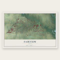
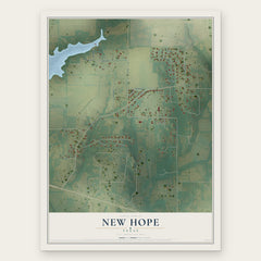
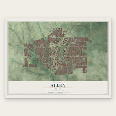
More maps nearby: Lowry Crossing, Lucas, Melissa, Prosper and Weston.
The art of mapping a place
How This Map Was Made
Real places. Remarkable detail. Discover the layers that turn geographic data into a map of home.

The view from above
Aerial imagery reveals the character of the land: woodland, open fields, and the patterns of a place.

The shape of the land
Elevation data brings hills, valleys, and subtle changes in the landscape into view.

The details of home
Roads, waterways, and building footprints come together to make the map feel unmistakably local.

Geography becomes art
Considered color, shading, and typography bring the layers together in a map made for your wall.


Process illustrated with Mendon, Massachusetts. Aerial imagery: USDA NAIP. Terrain: USGS 3D Elevation Program. Map details and finished artwork: KNOWOL.
The Details
About This Print
Choose an archival matte print, or a black or white Ayous wood frame. The archival matte print is unframed.
Select your size and finish above to see the matching product image and price.
Materials & Craftsmanship
A contemporary map with the character of a classic atlas, printed on archival matte paper. Optional frames are made from Ayous wood.
Your printed map does not include the watermark shown in the full-map preview.
Shipping & Delivery
Free shipping within the United States. Every print is made to order in the USA.
Buying a gift? Add a note in your cart and we'll include it. We never put prices in the package.
Prints ship within 2 to 3 business days. Allow 7 to 10 days total from ordering for delivery. Timing may vary during holidays or periods of high order volume.
Read our shipping policy.
Returns and damaged prints
Each print is made to order. Change-of-mind refunds are not available after production.
If your print arrives damaged, misprinted or incorrect, contact support@knowol.com within 30 days of receiving it. Include your order number, photos and a description of the issue.
Read our full refund and replacement policy. For questions about your order, email support@knowol.com.