
Search for another town
Free U.S. delivery 7 to 10 days after you order
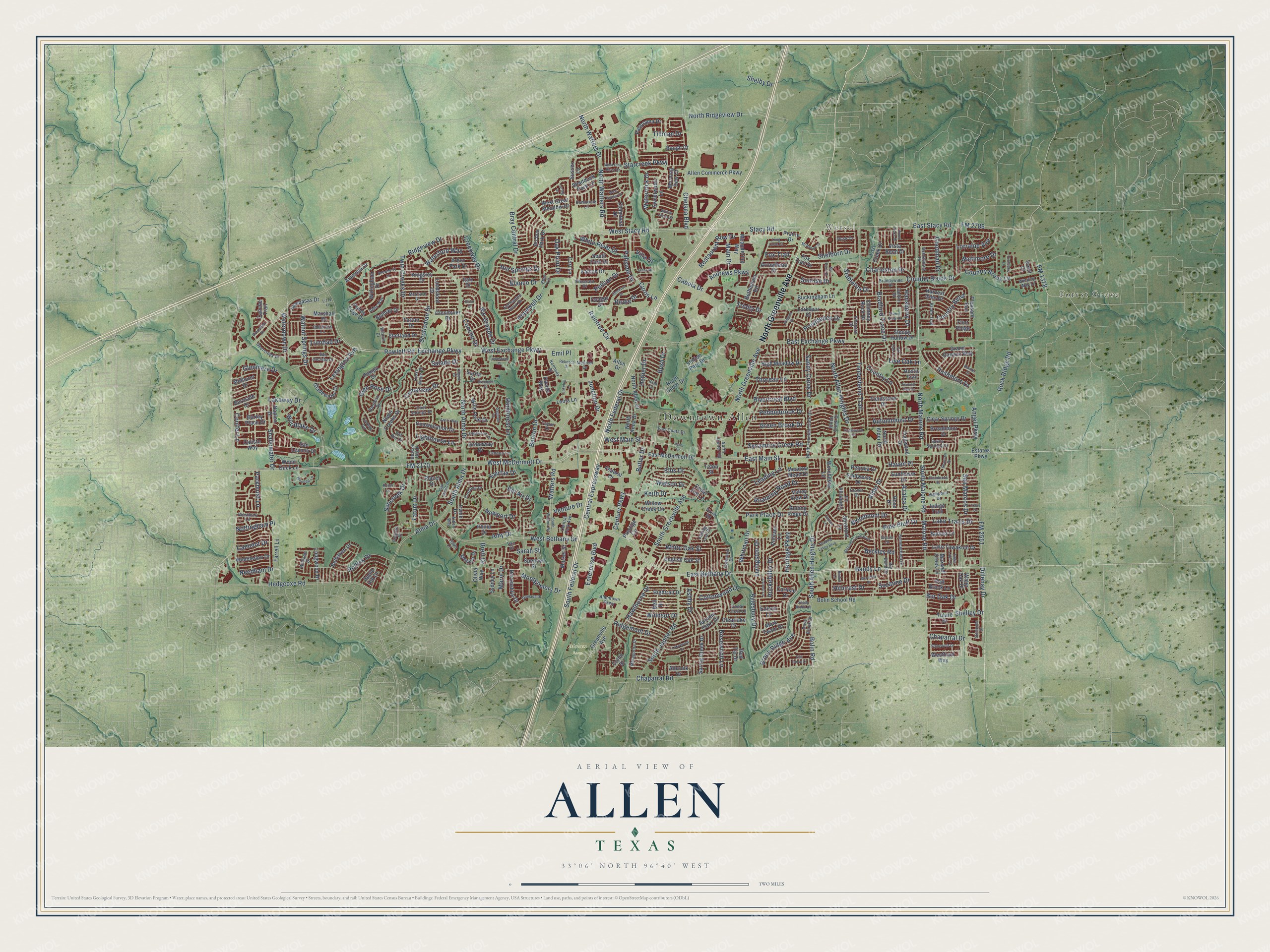
Allen, Texas Map Art
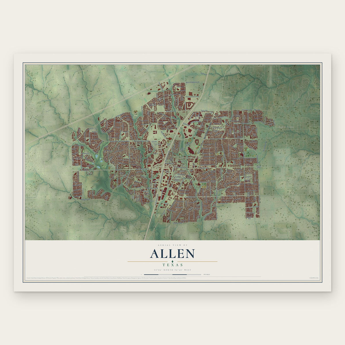
Building by building, with labeled streets and shaded relief.
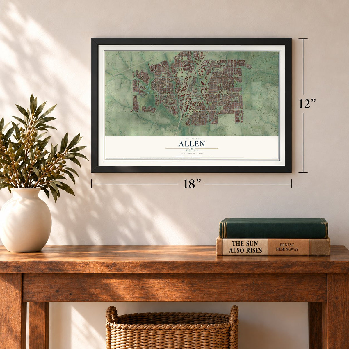
12" x 18" Archival Matte Print
A Map of Home. A Work of Art.
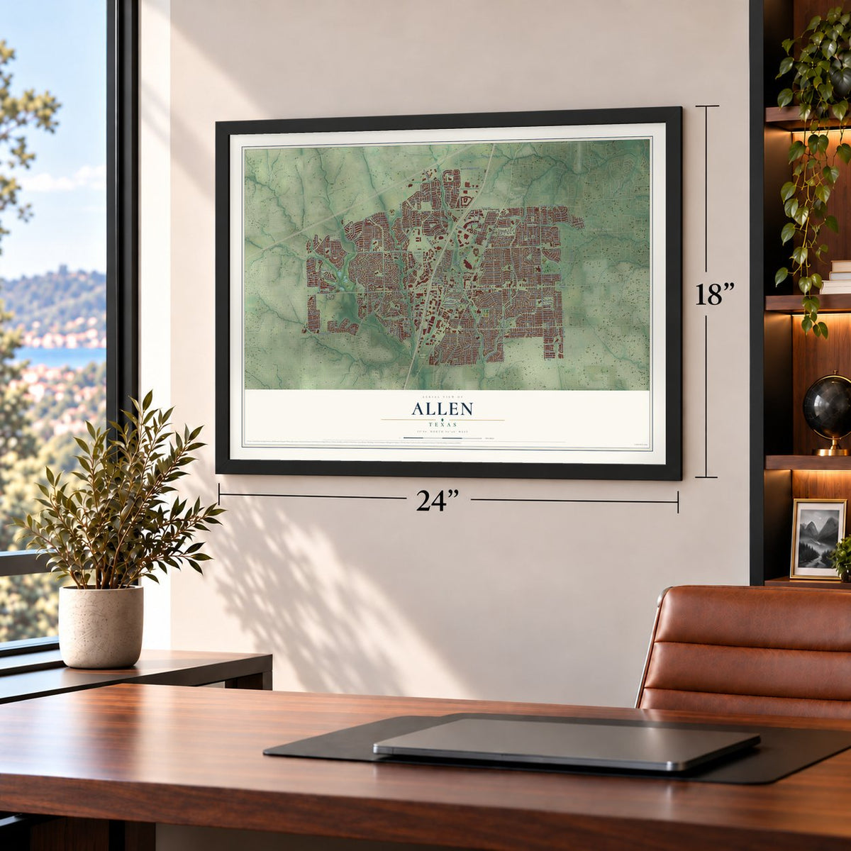
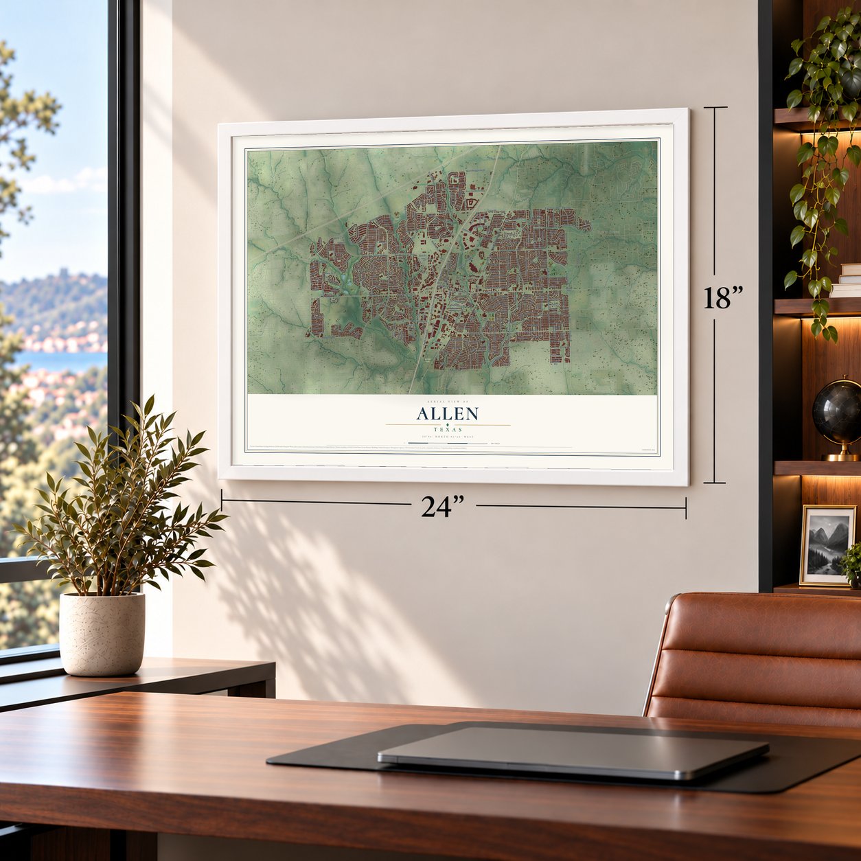
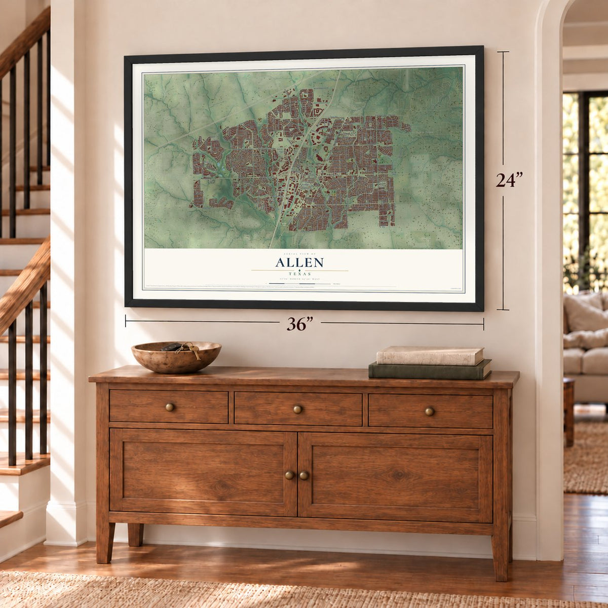
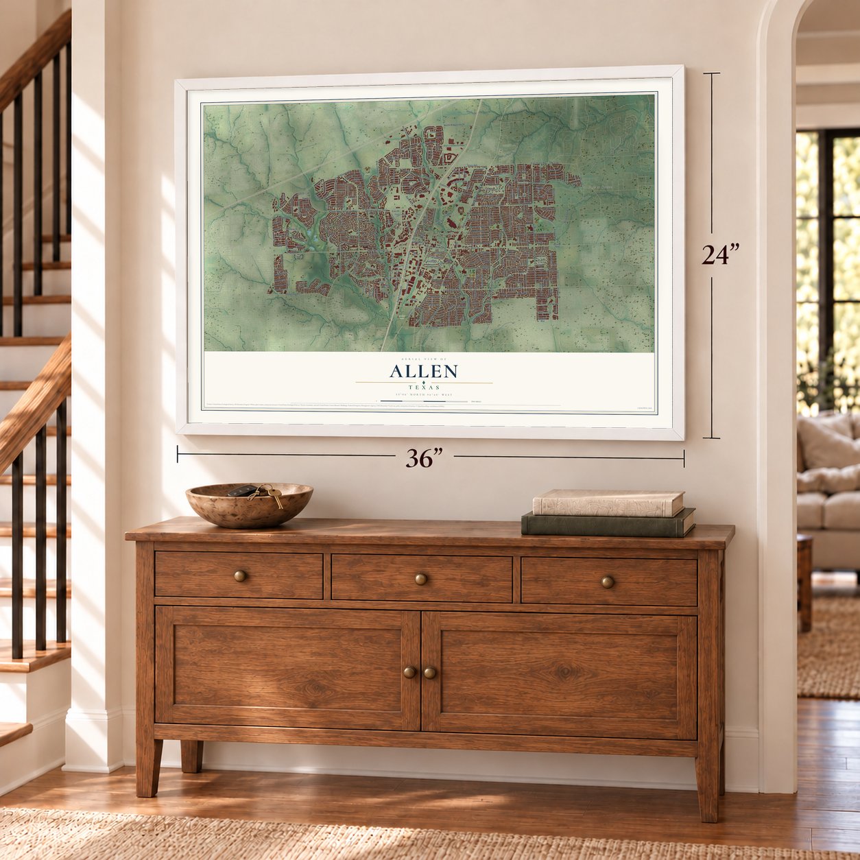
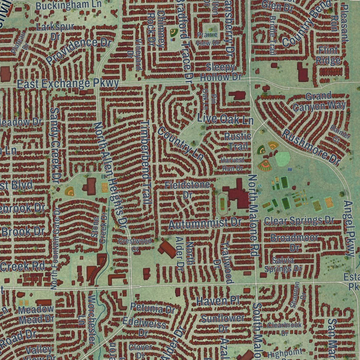
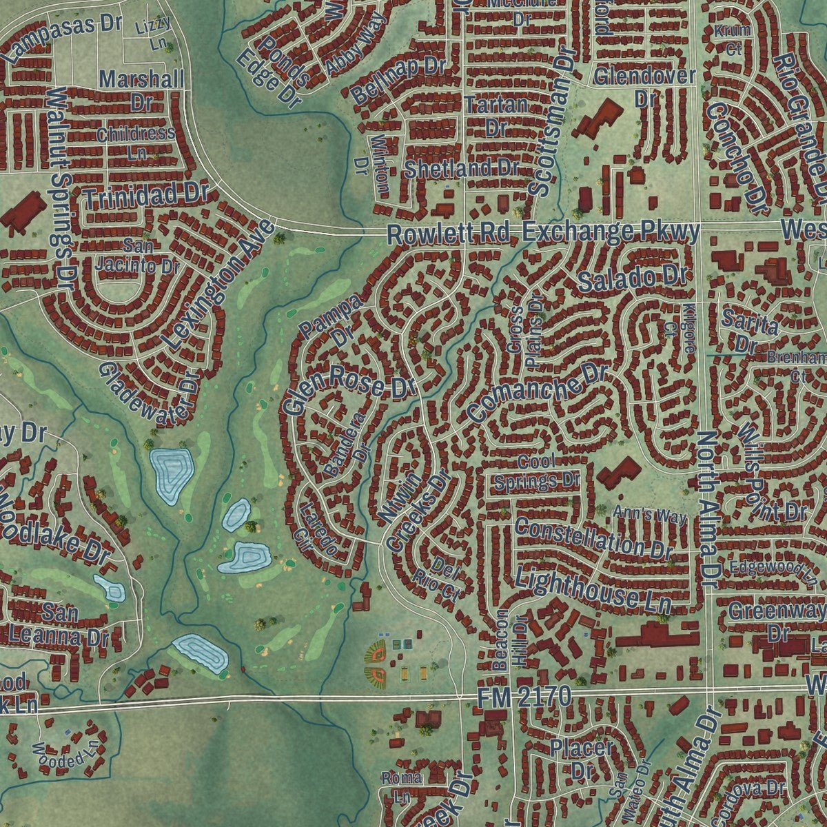
Explore Allen, Texas from a whole new perspective. Created using aerial imagery and detailed geographic data, this map captures Allen building by building, with labeled streets, familiar landmarks, and shaded topographical relief that highlights the natural contours of the landscape.
Combining modern data with the timeless character of a vintage atlas, this map is just as interesting up close as it is beautiful on the wall. Whether you grew up in Allen, spent memorable years there, or call it home today, this unique map is a great way to celebrate a place that means something to you. Zoom in on the preview to look for your street, and then order a print to put your memories on the wall.
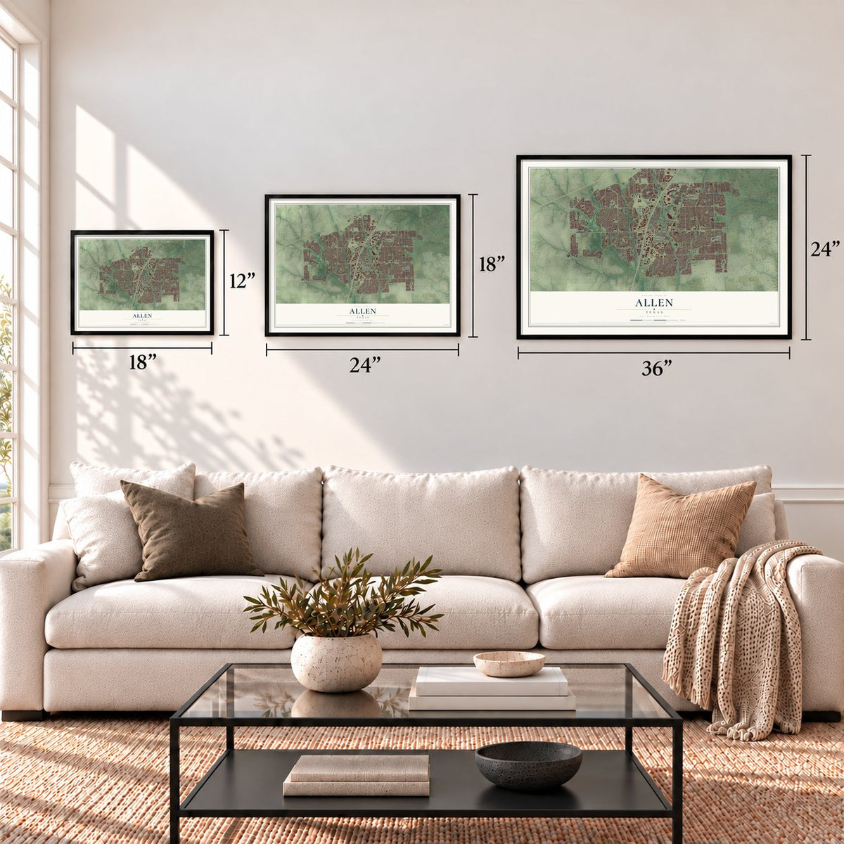
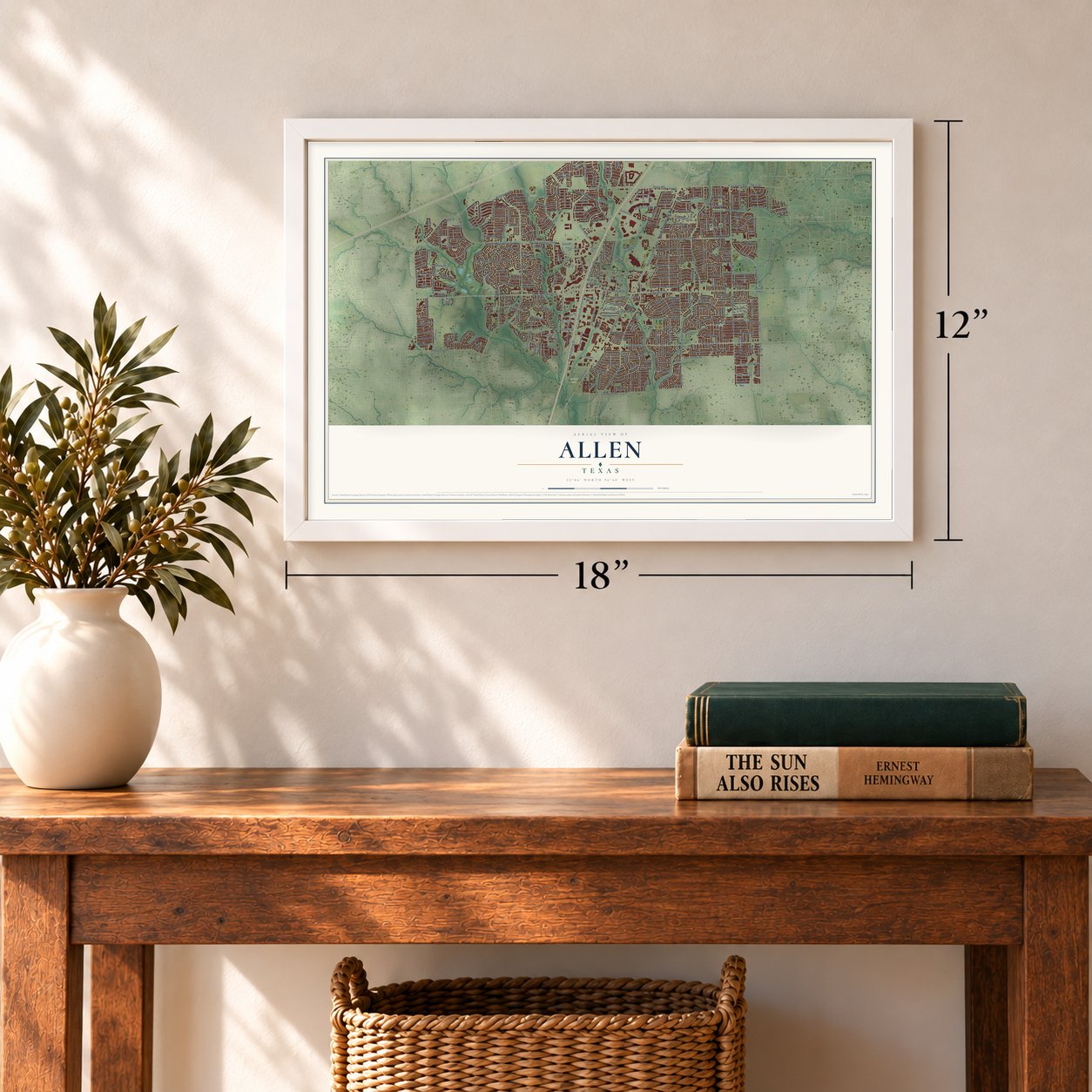
Three ways to hang it
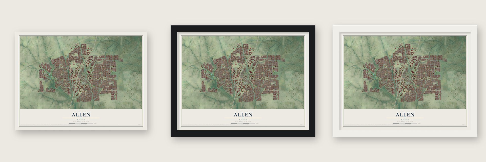
Unframed archival matte, a black wood frame or a white wood frame.
Up close
Geography Worth Displaying
This map was created using accurate cartographic data and authoritative geographic sources, including the U.S. Geological Survey and the Census Bureau. The map brings together terrain, waterways, roads, and building detail. The majority of the streets are labeled, houses are accurately depicted, and the topography is derived from government sources. Combining local data with carefully composed color and shading leads to this beautifully detailed Allen artwork for your wall.
Rather than simply showing street outlines, we’ve included as many of the street names as we could reasonably fit on the map while keeping their names legible. Zoom in on the high resolution preview to see exactly what’s on the map. We truly set out to create a statement piece for anyone who loves Allen. So whether it’s for you, or a gift for someone you love, we hope this map of Allen brings back fond memories.
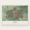
Find your street
Names on the Allen map
Every name below is printed on this map. Look for your street, your school, the park where you played, or the pond down the road.
Places and landmarks5
- Downtown Allen
- Forest Grove
- Wetsel
- Molsen Farm
- Spirit Park
Streets and roads394
- North Greenville Avenue
- West McDermott Drive
- FM 2170
- East Bethany Drive
- East Main Street
- North Allen Heights Drive
- Angel Parkway
- South Allen Heights Drive
- Twin Creeks Drive
- Bandy Lane
- FM 2551
- South Malone Road
- Bolin Road
- Dillehay Drive
- Glen Rose Drive
- West Main Street
- Sarah Street
- Palisade Drive
- South Alma Drive
- Woodmont Drive
- Amy Drive
- Ridgeview Drive
- Stacy Road
- East Exchange Parkway
- West Exchange Parkway
- North Alma Drive
- Exchange Parkway
- Watters Road
- West Bethany Drive
- Rivercrest Boulevard
Show all 394 streets
- Hedgcoxe Road
- Andrews Parkway
- Rowlett Road
- Bray Central Drive
- East Stacy Road
- Chelsea Boulevard
- North Watters Road
- Alma Drive
- West Stacy Road
- South Greenville Avenue
- South Jupiter Road
- Raintree Circle
- Ridgemont Drive
- South Federal Drive
- Central Expressway
- Malone Road
- North Watters Drive
- FM 2786
- Comanche Drive
- Chaparral Road
- Bel Air Drive
- Century Parkway
- Rock Ridge Road
- Montgomery Drive
- Lakeway Drive
- Shallowater Drive
- Starcreek Parkway
- Sycamore Creek Road
- Thoreau Lane
- Walnut Springs Drive
- Benton Drive
- Curtis Lane
- Park Place Drive
- North Malone Road
- Rainforest Lane
- Roaming Road Drive
- Hopewell Drive
- Sandy Creek Drive
- Suncreek Drive
- North Ridgeview Drive
- Rollins Drive
- Timberbend Trail
- Junction Drive
- Lexington Avenue
- Shelborn Drive
- Aylesbury Drive
- Brook Ridge Avenue
- Country Brook Lane
- Pebblebrook Drive
- North Federal Drive
- Hawthorne Drive
- Cottonwood Drive
- Rio Grande Drive
- Scottsman Drive
- Sunrise Drive
- Enterprise Boulevard
- Charleston Drive
- Bradford Trace Drive
- Country Lane
- Venture Drive
- Tatum Drive
- Creekway Drive
- Keith Drive
- Shelby Drive
- Leading Lane
- Green Brook Drive
- Cabela Drive
- Waterrock Drive
- Pine Bluff Drive
- Country Bend
- Country Brook Drive
- Rockefeller Drive
- Whitman Drive
- Restaurant Row Drive
- Bur Oak Drive
- Rushmore Drive
- Chaparral Drive
- Waterford Way
- Heritage Parkway
- Alder Drive
- Haven Place
- Azalea Drive
- Woodlake Drive
- Shelley Drive
- Lake Travis Drive
- White Oak Street
- Autumnmist Drive
- Goodman Drive
- White River Drive
- Windsor Drive
- Main Drive
- Pelican Drive
- Butler Drive
- Bush Drive
- Blanco Drive
- Tillman Drive
- Ashby Drive
- Brett Drive
- Waterdown Drive
- Newport Drive
- Lorraine Avenue
- Hot Springs Drive
- Hillcrest Drive
- Lighthouse Lane
- Rosewood Lane
- Ellis Drive
- Watson Drive
- Livingston Drive
- Nottingham Place
- Stablerun Drive
- Parkhurst Lane
- Needham Drive
- Providence Drive
- San Marcos Drive
- Trinidad Drive
- Hansberry Drive
- Glenmere Drive
- Baltimore Drive
- Camelot Drive
- Salado Drive
- Fairfax Drive
- Hefner Drive
- Berkley Road
- FM 1378
- Trinity Drive
- Oak Point Drive
- Live Oak Lane
- Emil Place
- Conifer Lane
- Suzanne Drive
- Fox Trail
- Marie Drive
- Concho Drive
- Birdie Drive
- Villa Drive
- East McDermott Drive
- Estates Parkway
- Monica Drive
- Cougar Drive
- Market Street
- Westfield Way
- Apple Hill Drive
- Ntwin Creeks Drive
- Arches Park Drive
- North Cedar Drive
- Sweetwater Lane
- Prestige Circle
- High Meadow Drive
- Edelweiss Drive
- North Allen Drive
- Valley View Drive
- Collin Drive
- Lost Creek Drive
- Meadow Mead Drive
- Greenville Avenue
- Broadmoor Drive
- Buckingham Lane
- Allen Commerce Parkway
- Glendover Drive
- Irvine Drive
- Constellation Drive
- Lake Tawakoni Drive
- Hightrail Drive
- Balboa Lane
- Wills Point Drive
- Harvest Glen Drive
- Sleepy Hollow Drive
- Pulitzer Lane
- Fox Trail Drive
- Spencer Street
- Water Oak Drive
- Caliche Trail
- San Leanna Drive
- Bell Drive
- Panorama Drive
- Bolin School Road
- Clear Springs Drive
- Marshall Drive
- Philip Drive
- North Anna Drive
- Spring Creek Drive
- Rolling Ridge Drive
- Willingham Drive
- Station Park Drive
- Willow Creek Circle
- Falcon Drive
- Landsford Drive
- Farrell Lane
- Larkspur Drive
- Devonshire Drive
- Pleasant Run
- Lampasas Drive
- Arbor Park Drive
- Cameron Lane
- Longwood Drive
- English Oak Street
- Gladewater Drive
- Trailwood Drive
- Red Tip Drive
- Sunflower Drive
- Meandering Way
- Shetland Drive
- Wimbledon Drive
- Mark Twain Drive
- Chimney Rock Drive
- Grand Canyon Way
- Prairie Drive
- Alamosa Drive
- West Great Meadow Drive
- Kingsley Drive
- Oak Brook Lane
- Belhaven Drive
- Pampa Drive
- Shaddock Park Lane
- Greenway Drive
- Stretford Lane
- Burnside Drive
- Worchester Lane
- Calisto Way
- Fieldstone Drive
- Autumn Oaks Drive
- Bethlehem Road
- Vista Bend Drive
- Federal Drive
- Barley Place Drive
- Olivia Way
- Clearlake Drive
- North Alder Drive
- Placer Drive
- Arrowhead Drive
- Wood Duck Lane
- Rustic Trail
- Ponds Edge Drive
- Maxwell Creek Drive
- Chambers Drive
- Sydney Lane
- Petunia Drive
- Bellnap Drive
- Albrook Drive
- Naples Drive
- Midhurst Drive
- Tulare Drive
- Leola Lane
- Allen Drive
- Sussex Lane
- Baugh Drive
- Indigo Trail
- Cedar Elm Lane
- Tartan Drive
- Davids Way
- South Fork Drive
- Morning Dew Court
- Edison Lane
- Cort Lane
- Carlisle Drive
- Teton Street
- Rose Drive
- Sarita Drive
- Italy Drive
- Flint Ridge
- Knoll Court
- Claire Lane
- Van Drive
- Summerfield Drive
- Kennedy Drive
- Central Park Avenue
- San Jacinto Drive
- Dove Brook Drive
- North Fountain Gate Drive
- Cross Plains Drive
- Clover Drive
- Ashwood Drive
- Beacon Hill Drive
- Laredo Circle
- Big Bend Drive
- Deercreek Drive
- Buckthorne Drive
- Bandera Drive
- Bridle Trail
- East Coats Drive
- Brandywine Drive
- Childress Lane
- Enchanted Rock Drive
- Salvia Springs Drive
- Matagorda Drive
- Highpoint Drive
- Pheasant Drive
- McClure Drive
- Stone Creek Drive
- Carlton Drive
- North Jupiter Road
- Westbury Lane
- Allentown Parkway
- Cordova Drive
- Vineyard Drive
- Abby Way
- Cool Springs Drive
- Williams Drive
- Winding Way Lane
- Landon Lane
- Del Rio Court
- Pembrook Lane
- Alden Way
- Rusk Drive
- Medical Drive
- Falling Leaf Drive
- Cedar Crest Lane
- Winton Drive
- Colgate Drive
- Taylor Drive
- Virum Road
- Eton Lane
- South Watters Road
- Stockton Drive
- Bethany Creek Boulevard
- Snowberry Drive
- Shadow Lakes Boulevard
- San Mateo Drive
- Mj Brown Street
- Harvest Run Drive
- Lakewood Drive
- Stonewick Drive
- Prairie View Drive
- River Oaks Drive
- Meredith Drive
- Wooded Lane
- Grassland Drive
- Granada Drive
- Limestone Court
- Edgewood Lane
- West Pine Burst Drive
- Clearbrook Drive
- Willow Winds Street
- Cornell Lane
- Turnberry Lane
- Stampede Drive
- West Scotia Drive
- Crestwood Court
- Pin Oak Lane
- Saginaw Court
- Easton Lane
- Roma Lane
- Ann's Way
- Rebecca Drive
- Eagle Lake Court
- Sul Ross Drive
- Elm Grove Drive
- Brenham Court
- Shady Brook Drive
- Long Cove Court
- Shannon Drive
- Plateau Drive
- Travis Drive
- Llano Drive
- Kilgore Court
- Lakehill Lane
- Rainier Court
- Glacier Drive
- Bedell Lane
- Lizzy Lane
- Astor Drive
- Loring Drive
- Krum Court
- Bush Circle
Names are listed as they appear on the printed map. Zoom into the product photos to find them.
About Allen, Texas
Allen is a city in Collin County, and the 2020 census recorded 104,627 residents.
- The 2020 countThe census recorded 104,627 residents in Allen.
- Incorporated in 1953It was incorporated in 1953.
- Post office in 1876A post office opened here in 1876.
Keep exploring Texas
Allen is one of 2,049 Texas towns we've mapped. Every dot on the map is a print of its own.
The search covers every state, Texas first.
Near Allen
Order 2 or more town maps and save 10%. Shown in the size and finish you picked above, so they hang as a set.
- Fairview 12" x 18" / Archival Matte Print $39.99
- Parker 12" x 18" / Archival Matte Print $39.99
- Lucas 12" x 18" / Archival Matte Print $39.99
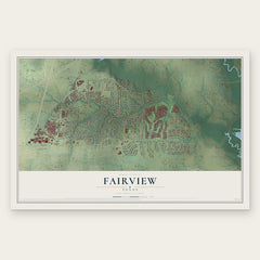
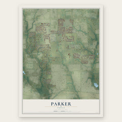
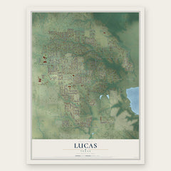
More maps nearby: Plano, McKinney, Seis Lagos, Murphy and St. Paul.
The art of mapping a place
How This Map Was Made
Real places. Remarkable detail. Discover the layers that turn geographic data into a map of home.

The view from above
Aerial imagery reveals the character of the land: woodland, open fields, and the patterns of a place.

The shape of the land
Elevation data brings hills, valleys, and subtle changes in the landscape into view.

The details of home
Roads, waterways, and building footprints come together to make the map feel unmistakably local.

Geography becomes art
Considered color, shading, and typography bring the layers together in a map made for your wall.


Process illustrated with Mendon, Massachusetts. Aerial imagery: USDA NAIP. Terrain: USGS 3D Elevation Program. Map details and finished artwork: KNOWOL.
The Details
About This Print
Choose an archival matte print, or a black or white Ayous wood frame. The archival matte print is unframed.
Select your size and finish above to see the matching product image and price.
Materials & Craftsmanship
A contemporary map with the character of a classic atlas, printed on archival matte paper. Optional frames are made from Ayous wood.
Your printed map does not include the watermark shown in the full-map preview.
Shipping & Delivery
Free shipping within the United States. Every print is made to order in the USA.
Buying a gift? Add a note in your cart and we'll include it. We never put prices in the package.
Prints ship within 2 to 3 business days. Allow 7 to 10 days total from ordering for delivery. Timing may vary during holidays or periods of high order volume.
Read our shipping policy.
Returns and damaged prints
Each print is made to order. Change-of-mind refunds are not available after production.
If your print arrives damaged, misprinted or incorrect, contact support@knowol.com within 30 days of receiving it. Include your order number, photos and a description of the issue.
Read our full refund and replacement policy. For questions about your order, email support@knowol.com.