
Search for another town

Free U.S. delivery 7 to 10 days after you order
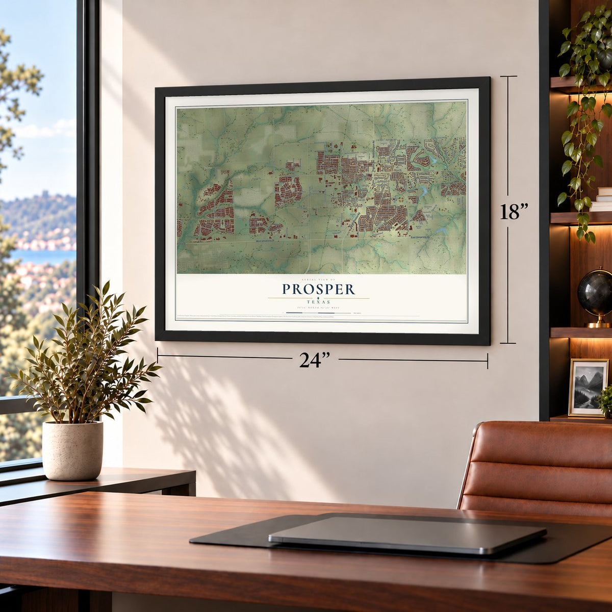
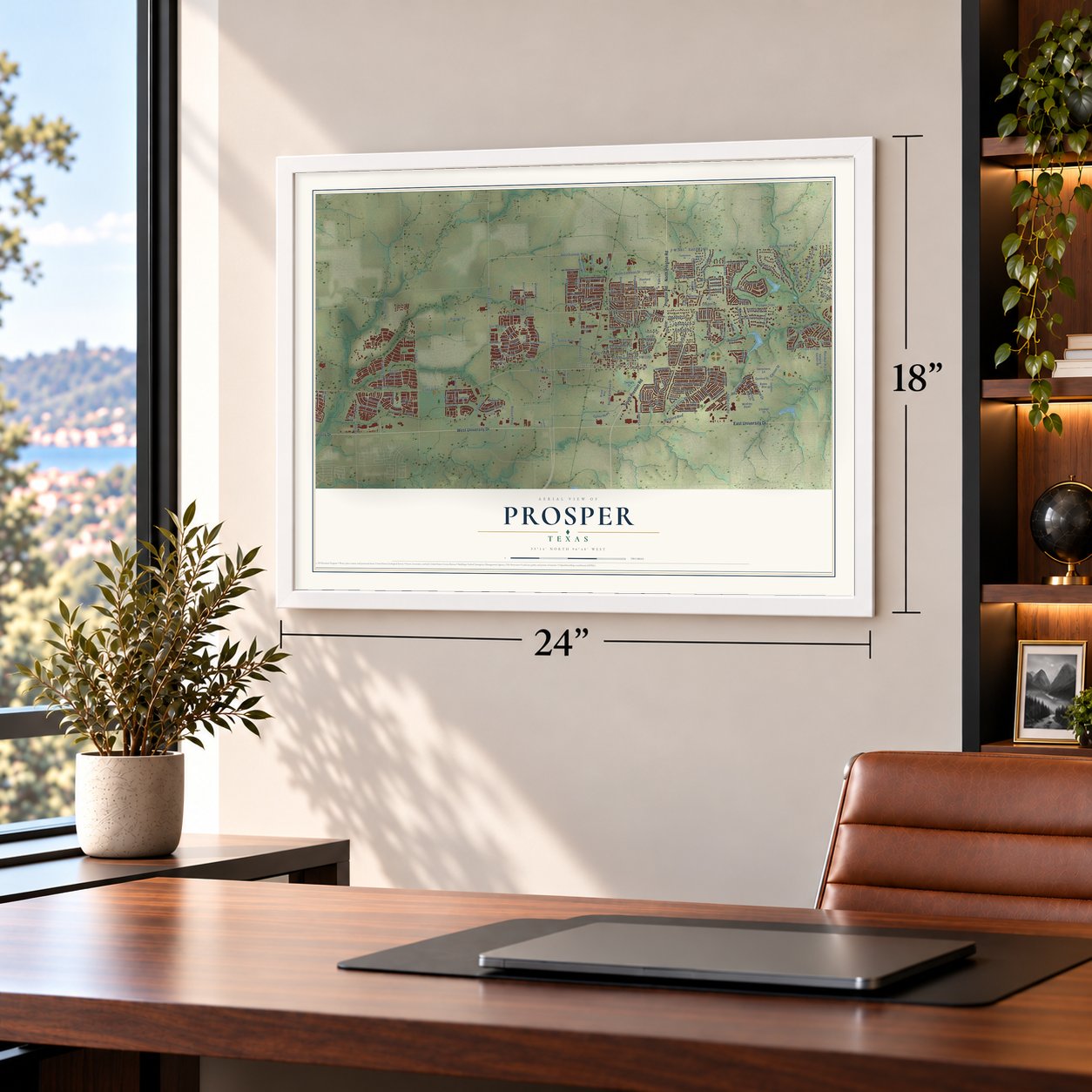
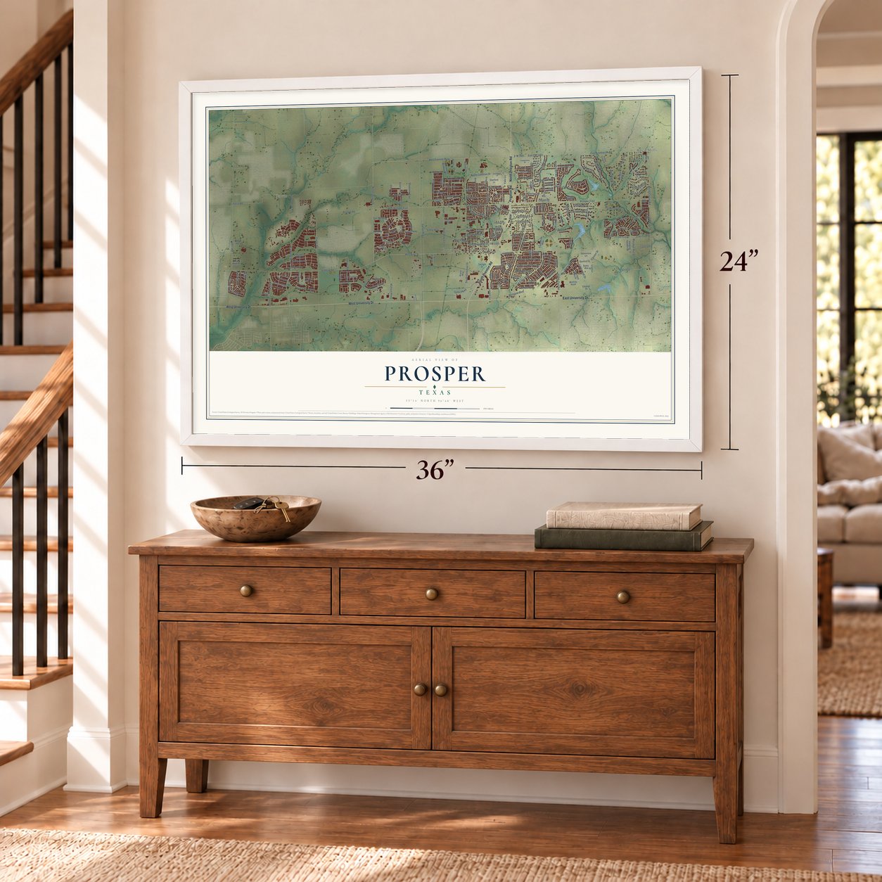
Prosper, Texas Map Art
Building by building, with labeled streets and shaded relief.
12" x 18" Archival Matte Print
A Map of Home. A Work of Art.
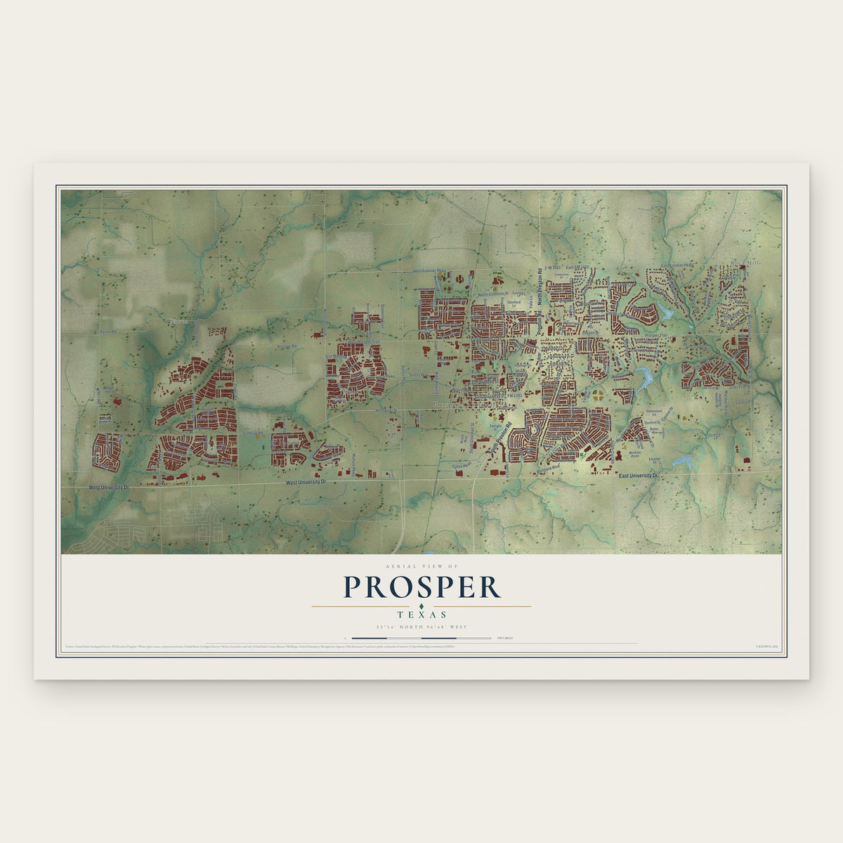
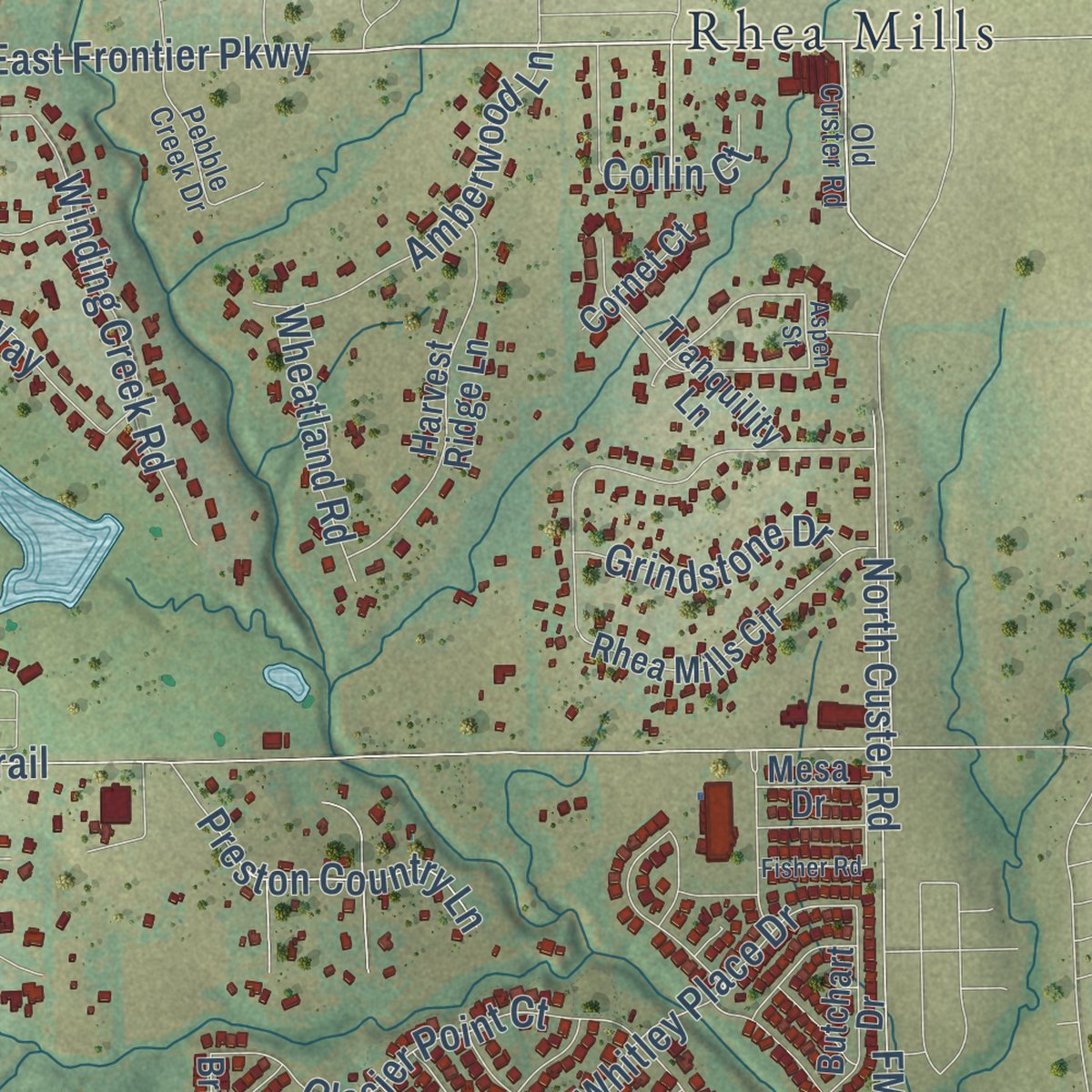
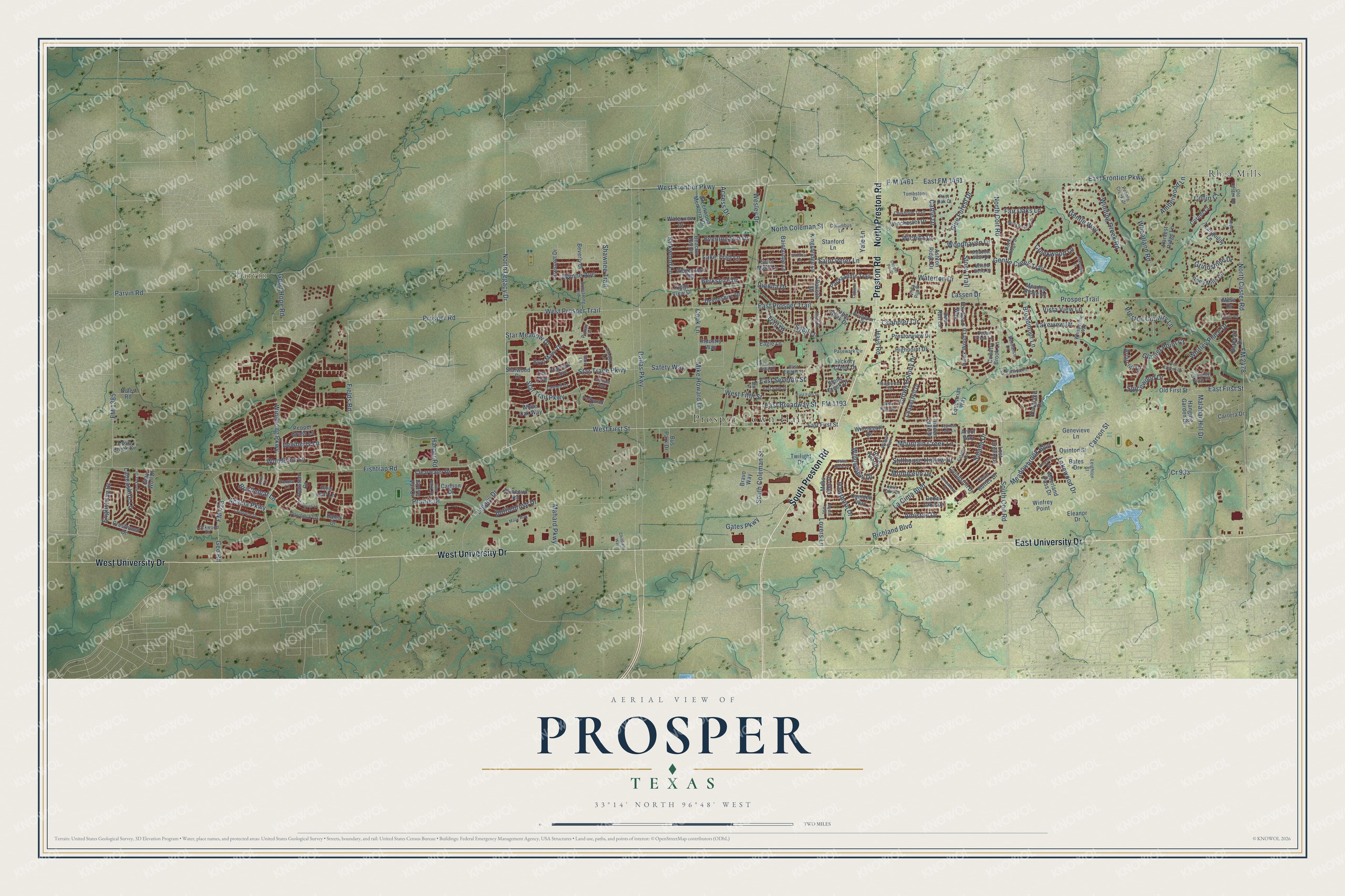
Explore Prosper, Texas from a whole new perspective. Created using aerial imagery and detailed geographic data, this map captures Prosper building by building, with labeled streets, familiar landmarks, and shaded topographical relief that highlights the natural contours of the landscape.
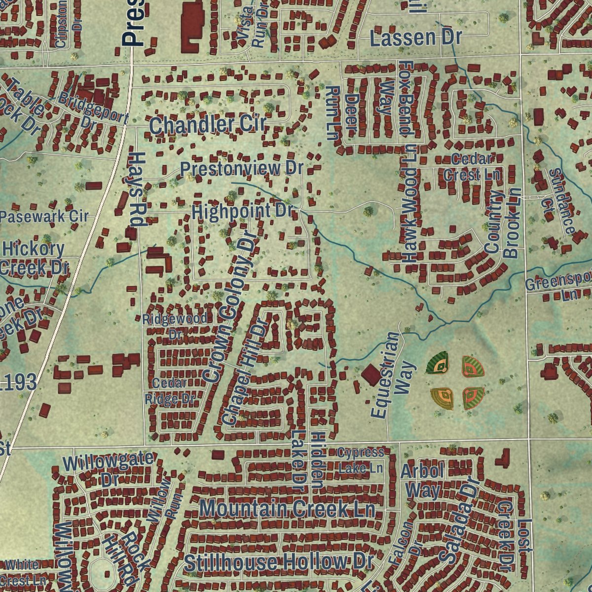
Combining modern data with the timeless character of a vintage atlas, this map is just as interesting up close as it is beautiful on the wall. Whether you grew up in Prosper, spent memorable years there, or call it home today, this unique map is a great way to celebrate a place that means something to you. Zoom in on the preview to look for your street, and then order a print to put your memories on the wall.
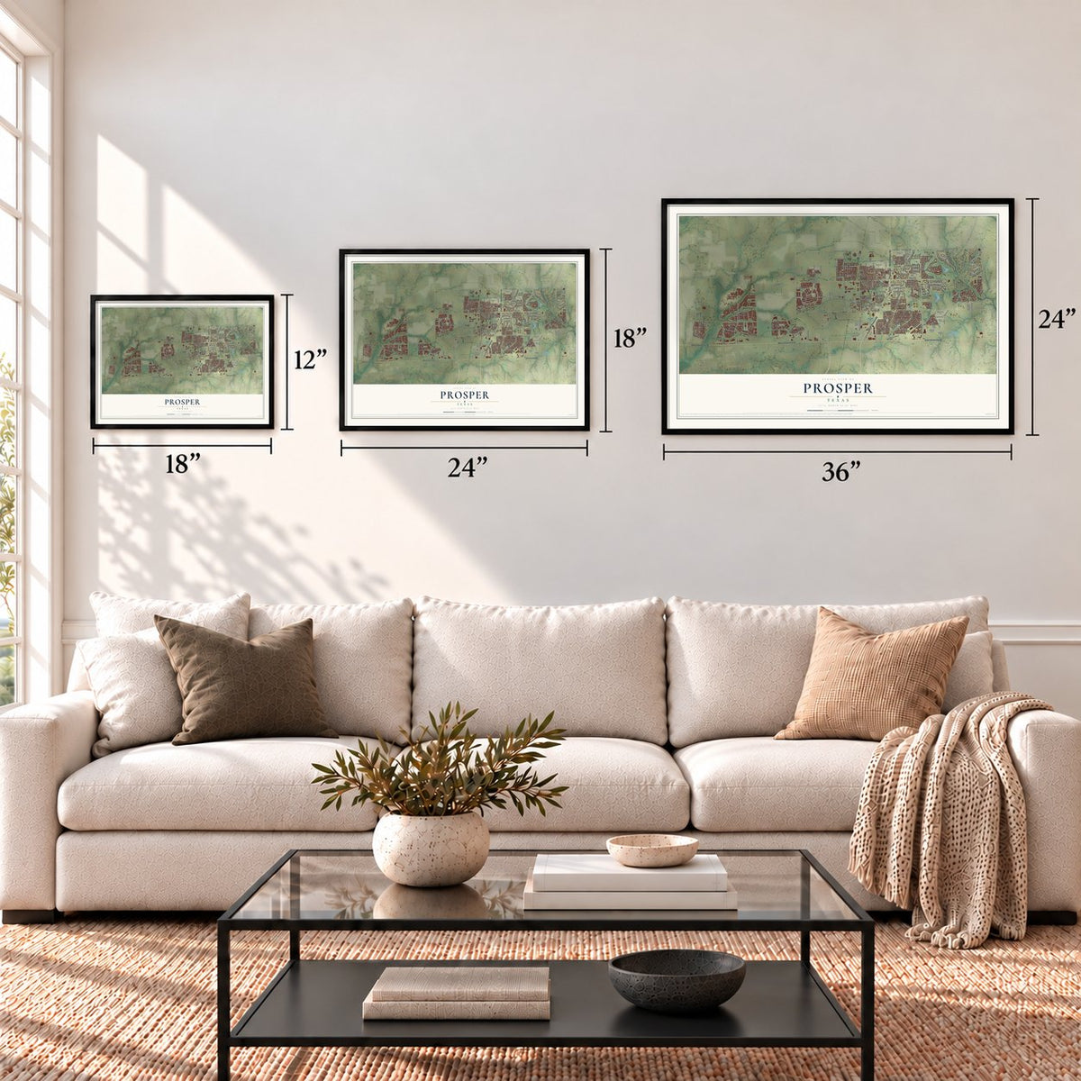
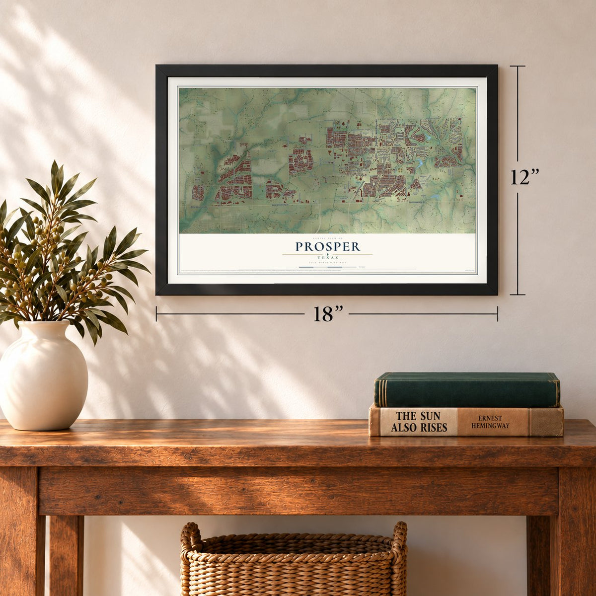
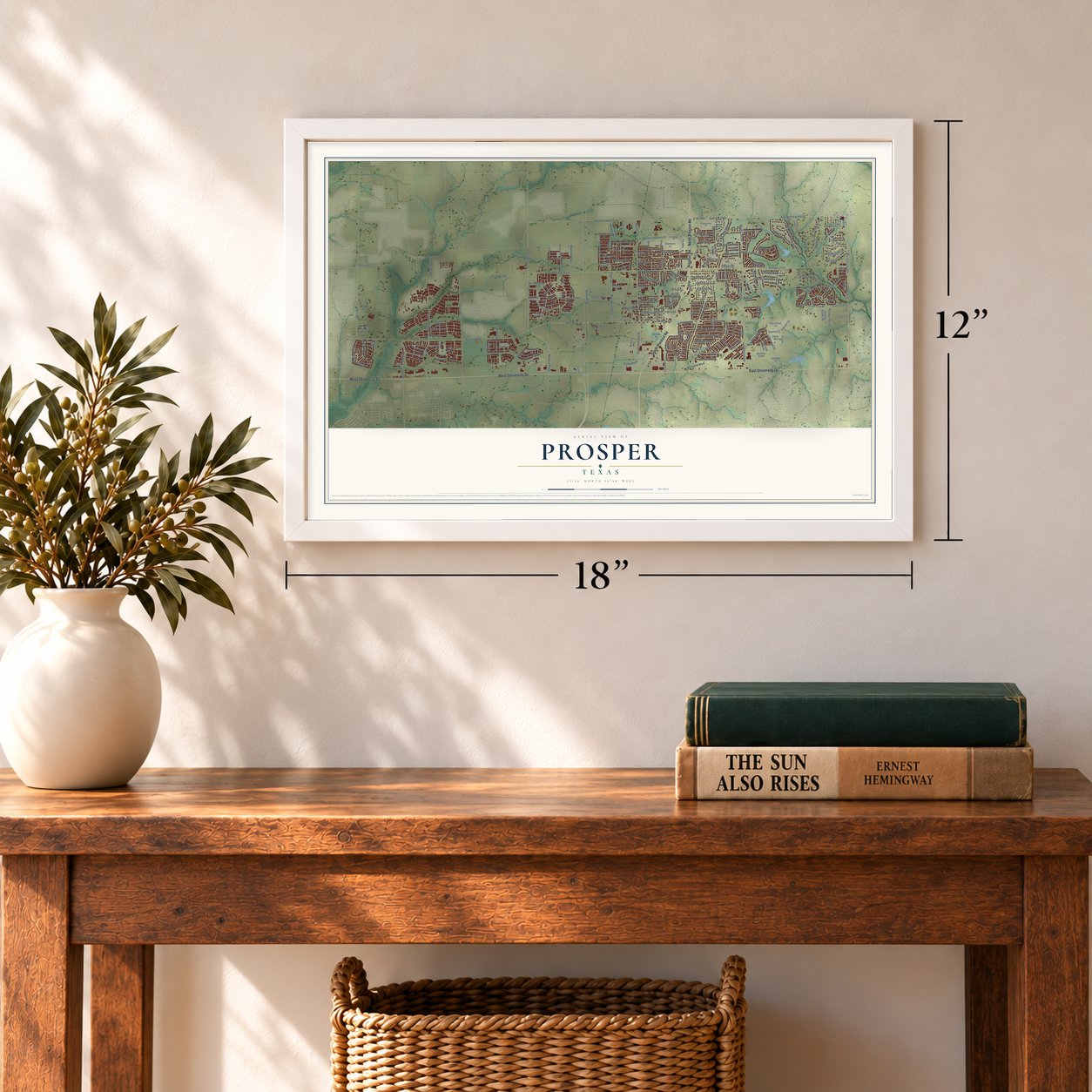
Three ways to hang it
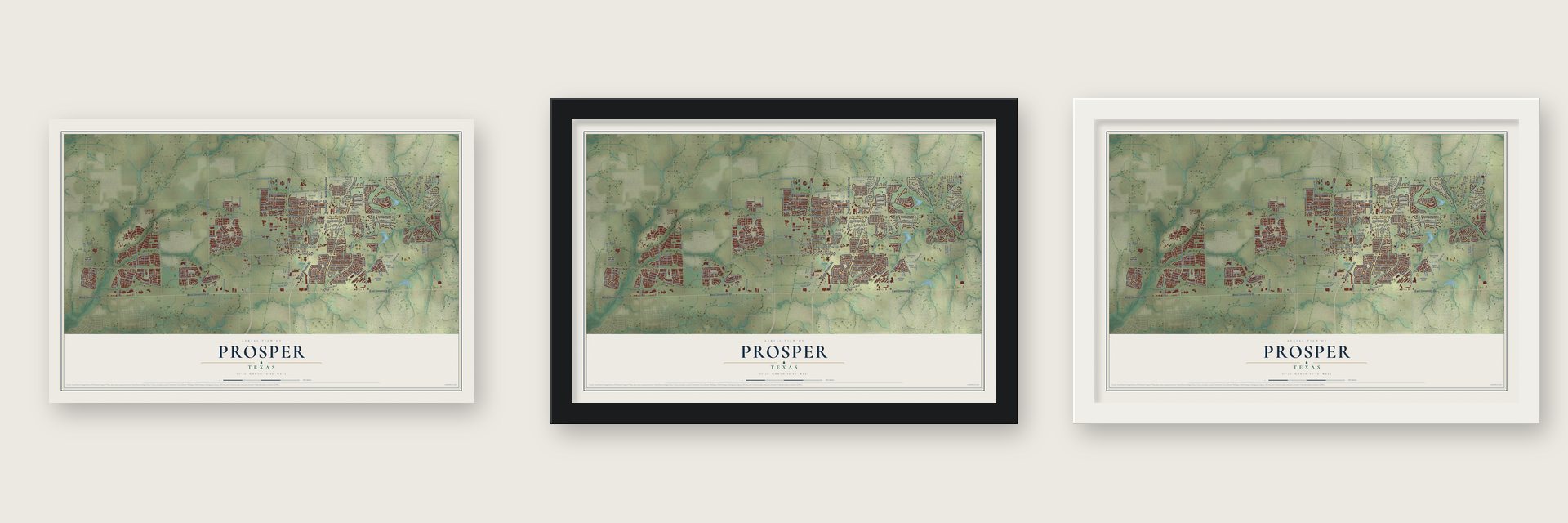
Unframed archival matte, a black wood frame or a white wood frame.
Up close
Geography Worth Displaying
This map was created using accurate cartographic data and authoritative geographic sources, including the U.S. Geological Survey and the Census Bureau. The map brings together terrain, waterways, roads, and building detail. The majority of the streets are labeled, houses are accurately depicted, and the topography is derived from government sources. Combining local data with carefully composed color and shading leads to this beautifully detailed Prosper artwork for your wall.
Rather than simply showing street outlines, we’ve included as many of the street names as we could reasonably fit on the map while keeping their names legible. Zoom in on the high resolution preview to see exactly what’s on the map. We truly set out to create a statement piece for anyone who loves Prosper. So whether it’s for you, or a gift for someone you love, we hope this map of Prosper brings back fond memories.

Find your street
Names on the Prosper map
Every name below is printed on this map. Look for your street, your school, the park where you played, or the pond down the road.
Places and landmarks3
- Prosper Town Hall
- Parvin
- Rhea Mills
Streets and roads243
- North Preston Road
- Preston Road
- South Preston Road
- West University Drive
- East University Drive
- North Coleman Street
- Windsong Parkway
- East Frontier Parkway
- East FM 1461
- West First Street
- South Coit Road
- F-M 1461
- East Broadway Street
- FM 1193
- West Frontier Parkway
- Winding Creek Road
- North Legacy Drive
- South Coleman Street
- Good Hope Road
- Sybil Lane
- Gentle Creek Trail
- FM 2478
- Prosper Road
- Bottlebrush Drive
- Gates Parkway
- Whitley Place Drive
- English Ivy Drive
- Berkshire Drive
- Carson Street
- Dallas Parkway
Show all 243 streets
- East First Street
- East Prosper Trail
- Fishtrap Road
- Parvin Road
- North Custer Road
- La Cima Boulevard
- FM 1385
- West Prosper Trail
- Prosper Trail
- Fields Road
- Prairie Drive
- Richland Boulevard
- Star Trail Parkway
- North Coit Road
- Shawnee Trail
- Glacier Point Court
- Lovers Lane
- Chandler Circle
- Lake Trail Lane
- Fair Oaks Lane
- Lakewood Drive
- FM 423
- Gee Road
- Cr 933
- Hays Road
- Amistad Drive
- Acacia Parkway
- Woodbine Lane
- Star Trace Parkway
- Meadowbrook Boulevard
- Saint Peter Lane
- Kirkwood Lane
- Legacy Drive
- Blue Forest Drive
- Mike Howard Lane
- Safety Way
- Gentle Way
- Waterton Drive
- Crown Colony Drive
- Amberwood Lane
- Mountain Creek Lane
- Stillhouse Hollow Drive
- Preston Country Lane
- Star Meadow Drive
- Lakeview Drive
- Bristleleaf Lane
- Lancashire Lane
- Salada Drive
- Mahard Parkway
- Harper Road
- Willowview Drive
- Grindstone Drive
- Cattle Drive
- Wheatland Road
- Monticello Drive
- Trail Drive
- Broadmoor Lane
- Wynne Avenue
- Evening Sun Drive
- Hawthorn Drive
- East Seventh Street
- West Fifth Street
- Woodhaven Drive
- Malabar Hill Drive
- Spicewood Drive
- Creekwood Lane
- Vista View Lane
- Stony Trail
- Lassen Drive
- Dewberry Lane
- Dianna Drive
- Wesley Drive
- Cook Lane
- Wichita Drive
- Collin Court
- Access Drive
- Yale Lane
- Lee Avenue
- Crestwood Drive
- Twin Buttes Drive
- Balloch Drive
- Rhea Mills Circle
- Hickory Creek Drive
- Hidden Lake Drive
- Greenwood Memorial Drive
- Harvest Ridge Lane
- Stone Creek Drive
- Tranquility Lane
- Packsaddle Trail
- Country Brook Lane
- Prestonview Drive
- Old First Street
- Dove Creek Circle
- Highpoint Drive
- Redstem Drive
- Cedar Lake Drive
- Moorland Pass Drive
- Winchester Drive
- Rock Hill Road
- Clearwater Drive
- Bryn Mawr Drive
- Kingsbridge Lane
- Pepper Grass Lane
- Chapel Hill Drive
- Equestrian Way
- Noles Road
- Livingston Drive
- Table Rock Drive
- Beacon Hill Drive
- Ridgecross Road
- Genevieve Lane
- Bainbridge Lane
- Hawk Wood Lane
- Hanging Garden Drive
- Arbol Way
- Devonshire Drive
- Winecup Road
- Townlake Drive
- Willowgate Drive
- Butchart Drive
- Meadow Ridge Drive
- Beverly Drive
- Winfrey Point
- Moss Glen Drive
- Ashton Ridge Drive
- White Oak Way
- Prescott Drive
- Waterview Drive
- Briarcliff Drive
- Pavonia Lane
- Bus Park Drive
- Quinton Street
- Bravo Way
- Carrera Drive
- Camden Way
- Harvard Avenue
- Saint Mark Lane
- Fox Bend Way
- Twilight Drive
- Deer Run Lane
- Cornet Court
- Lost Creek Drive
- Industry Way
- Grove Vail Drive
- Starwood Drive
- Eagle Lane
- Bates Drive
- Stanford Lane
- Kings View Drive
- Eleanor Drive
- Pine Leaf Lane
- Gray Wolf Drive
- Cannon Drive
- Mesa Drive
- Dalea Drive
- Jessica Lane
- Old Custer Road
- Rock Ridge Drive
- Porosa Lane
- Whispering Way
- Chisholm Trail
- Bridgeport Drive
- Armstrong Lane
- Greenspoint Lane
- Pasewark Circle
- Vista Run Drive
- Cedar Crest Lane
- Willow Run
- Tombstone Drive
- Pebble Creek Drive
- Parkwood Drive
- East Eighth Street
- Columbus Lane
- Willow Bend Drive
- Meadow View Drive
- Elm Park Drive
- Cornell Drive
- Ashbury Lane
- Sundance Court
- Lockwood Drive
- Post Oak Court
- Leighton Street
- Twin Oaks Drive
- Prairie Vista Drive
- Chimney Rock Drive
- Falcon Drive
- Sunset Avenue
- Eton Lane
- Pintail Lane
- Lakeside Drive
- Macy Way
- Aspen Street
- East Fifth Street
- Marigold Lane
- Clipston Drive
- Main Street
- Cypress Lake Lane
- Misty Meadow Drive
- Crossvine Drive
- Glen Canyon Drive
- East Sixth Street
- Ridgewood Drive
- Red Fox Drive
- White Crest Lane
- Arrowhead Drive
- Winslow Lane
- Cedar Ridge Drive
- Fisher Road
- Childrens Way
- Kingston Street
- Mystic Way
- Copper Point
- Alton Drive
Names are listed as they appear on the printed map. Zoom into the product photos to find them.
About Prosper, Texas
Prosper took shape in 1902 as a railway stop in the agricultural region known as Elm Valley. The community later served local farmers who raised cotton and corn on the Blackland Prairie. Incorporated in 1914 with 500 residents, Prosper grew to a population of 30,174 by 2020.
- Railway BeginningsProsper was established in 1902 as a stop on the St. Louis, San Francisco and Texas Railway.
- An Earlier Post OfficeA post office opened in the area in 1893, nine years before Prosper was established.
- A Prosperous NameRailroad officials are credited with choosing Prosper to reflect the area's favorable living conditions.
- Farm Market CenterProsper became a market center for nearby farmers who primarily produced cotton and corn.
- Population in 2020The Census Bureau recorded 30,174 people in Prosper in 2020.
Keep exploring Texas
Prosper is one of 2,049 Texas towns we've mapped. Every dot on the map is a print of its own.
The search covers every state, Texas first.
Near Prosper
Order 2 or more town maps and save 10%. Shown in the size and finish you picked above, so they hang as a set.
- Celina 12" x 18" / Archival Matte Print $39.99
- Savannah 12" x 18" / Archival Matte Print $39.99
- Frisco 12" x 18" / Archival Matte Print $39.99

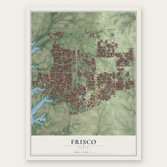
More maps nearby: Little Elm, Paloma Creek, Paloma Creek South, Providence Village and McKinney.
The art of mapping a place
How This Map Was Made
Real places. Remarkable detail. Discover the layers that turn geographic data into a map of home.

The view from above
Aerial imagery reveals the character of the land: woodland, open fields, and the patterns of a place.

The shape of the land
Elevation data brings hills, valleys, and subtle changes in the landscape into view.

The details of home
Roads, waterways, and building footprints come together to make the map feel unmistakably local.

Geography becomes art
Considered color, shading, and typography bring the layers together in a map made for your wall.


Process illustrated with Mendon, Massachusetts. Aerial imagery: USDA NAIP. Terrain: USGS 3D Elevation Program. Map details and finished artwork: KNOWOL.
The Details
About This Print
Choose an archival matte print, or a black or white Ayous wood frame. The archival matte print is unframed.
Select your size and finish above to see the matching product image and price.
Materials & Craftsmanship
A contemporary map with the character of a classic atlas, printed on archival matte paper. Optional frames are made from Ayous wood.
Your printed map does not include the watermark shown in the full-map preview.
Shipping & Delivery
Free shipping within the United States. Every print is made to order in the USA.
Buying a gift? Add a note in your cart and we'll include it. We never put prices in the package.
Prints ship within 2 to 3 business days. Allow 7 to 10 days total from ordering for delivery. Timing may vary during holidays or periods of high order volume.
Read our shipping policy.
Returns and damaged prints
Each print is made to order. Change-of-mind refunds are not available after production.
If your print arrives damaged, misprinted or incorrect, contact support@knowol.com within 30 days of receiving it. Include your order number, photos and a description of the issue.
Read our full refund and replacement policy. For questions about your order, email support@knowol.com.