
Search for another town




Free U.S. delivery 7 to 10 days after you order
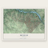
McLean, Virginia Map Art
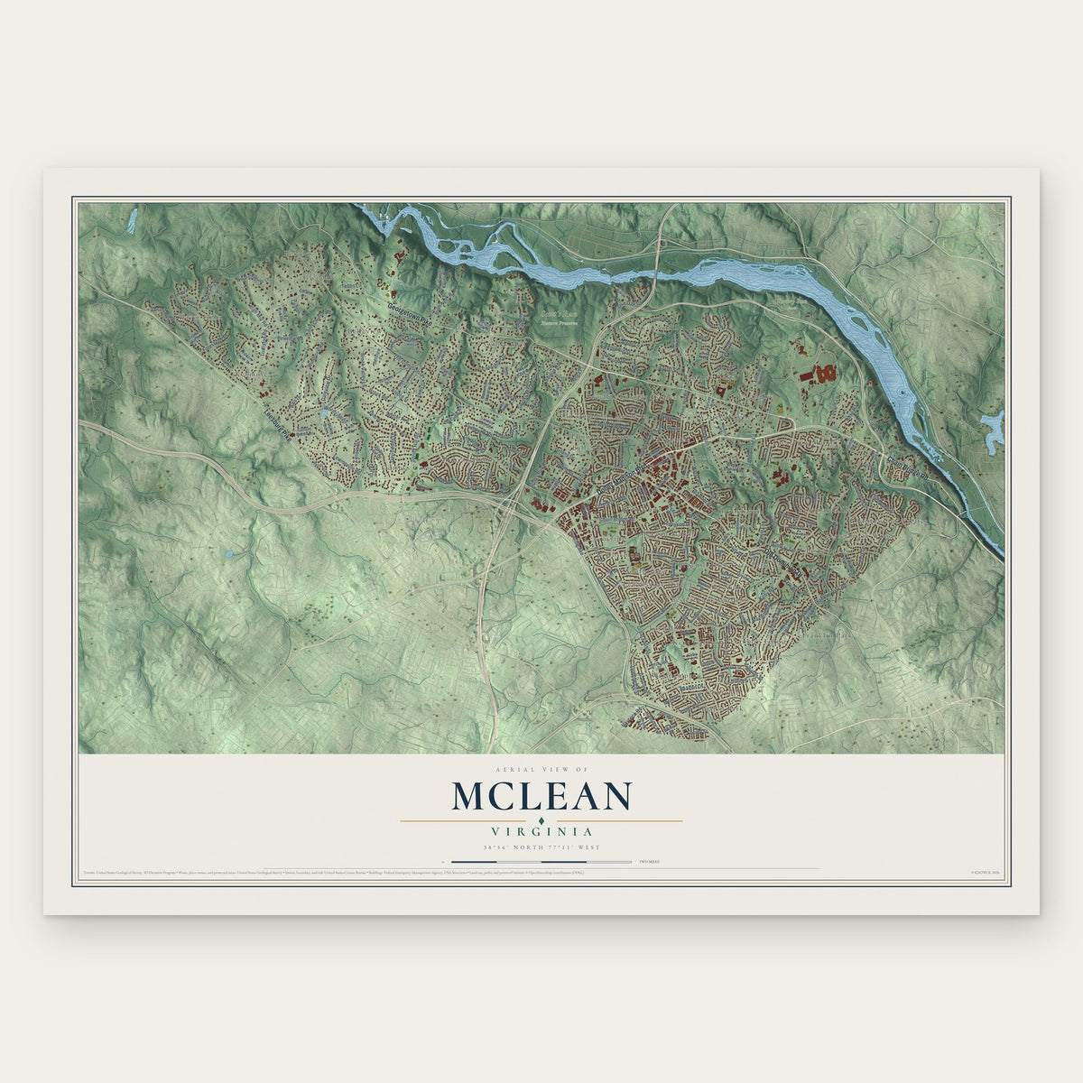
A new map of McLean, Virginia, made in 2026 and printed to order on thick archival matte paper.
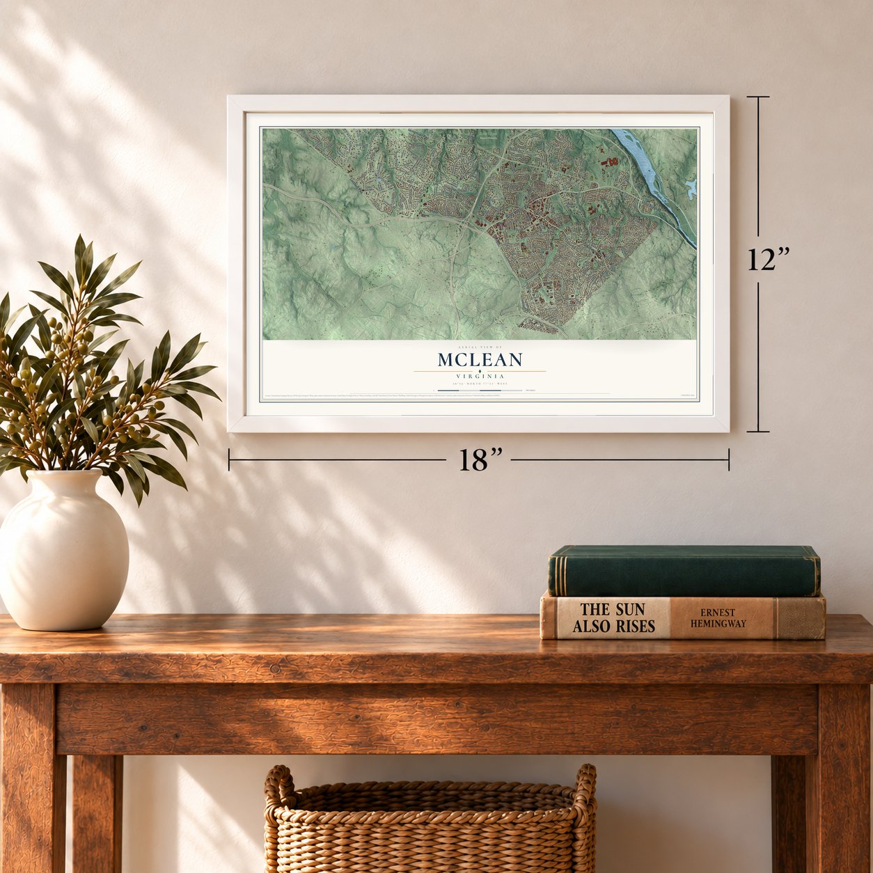
12" x 18" Archival Matte Print
A Map of Home. A Work of Art.
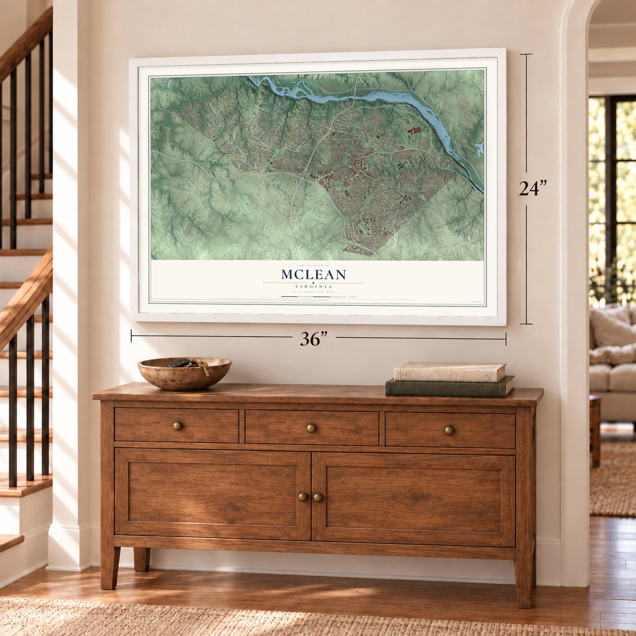
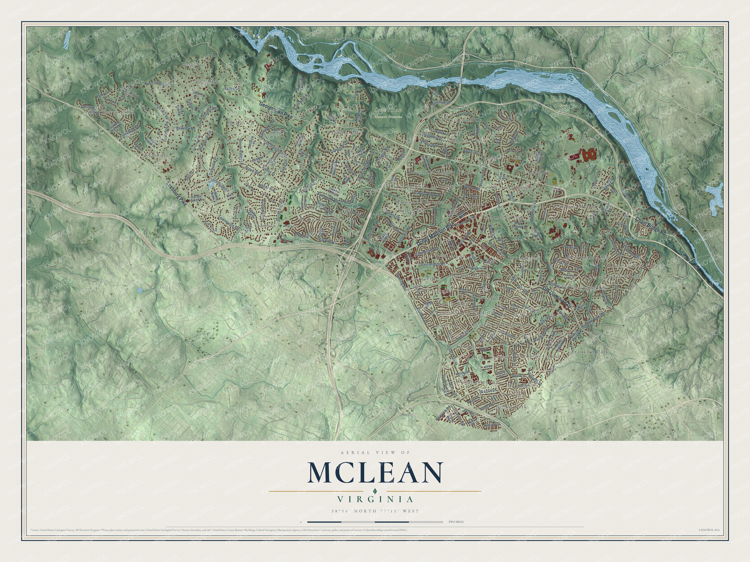
Explore McLean, Virginia from a whole new perspective. Created using aerial imagery and detailed geographic data, this map captures McLean building by building, with labeled streets, familiar landmarks, and shaded topographical relief that highlights the natural contours of the landscape.
Combining modern data with the timeless character of a vintage atlas, this map is just as interesting up close as it is beautiful on the wall. Whether you grew up in McLean, spent memorable years there, or call it home today, this unique map is a great way to celebrate a place that means something to you. Zoom in on the preview to look for your street, and then order a print to put your memories on the wall.
Three ways to hang it
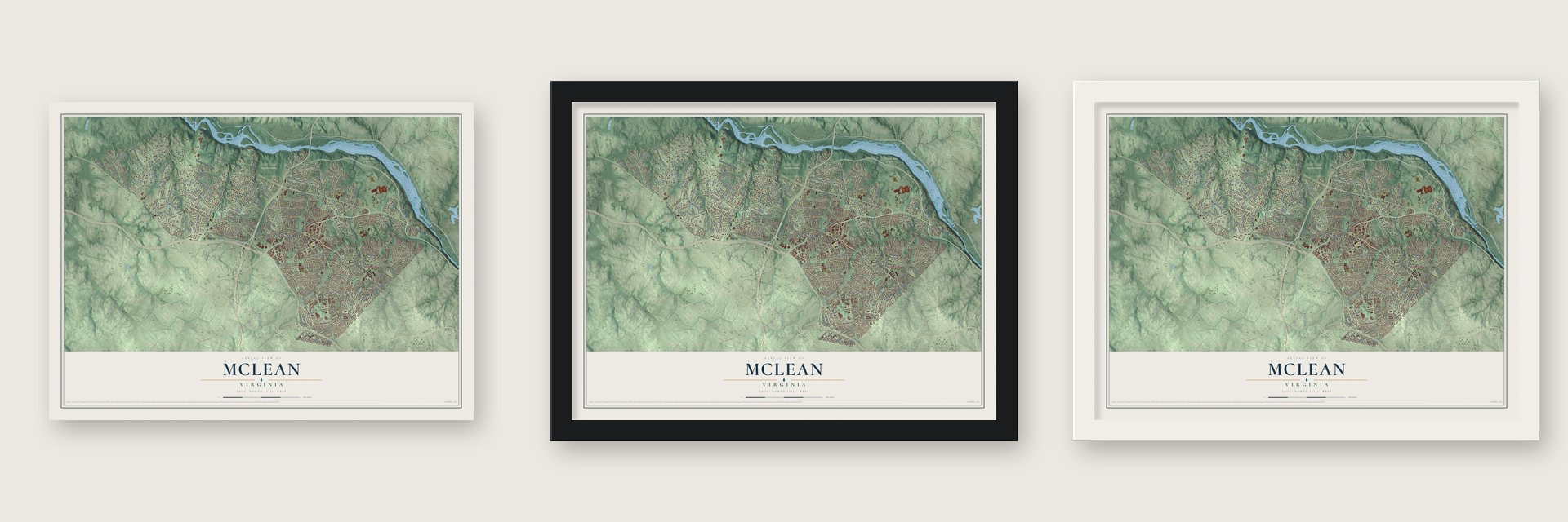
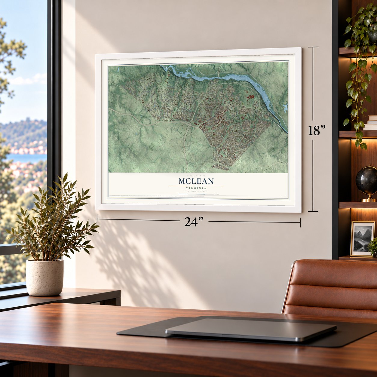
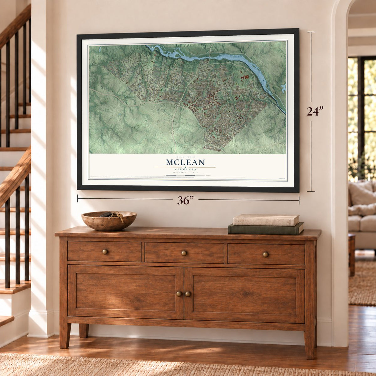
Unframed archival matte, a black wood frame or a white wood frame.
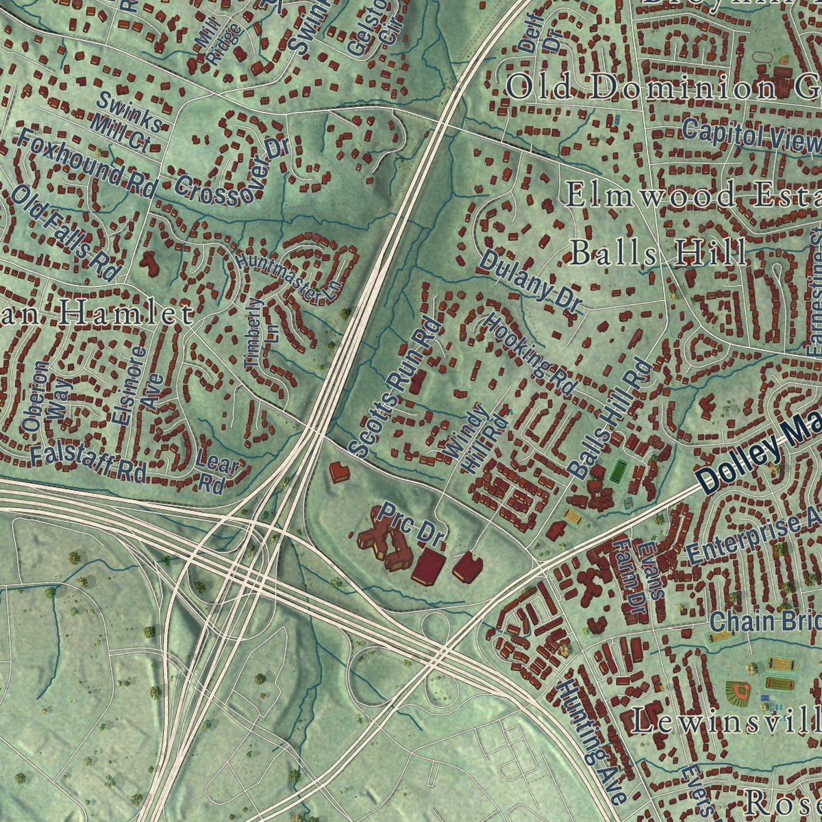
Up close
Geography Worth Displaying
This map was created using accurate cartographic data and authoritative geographic sources, including the U.S. Geological Survey and the Census Bureau. The map brings together terrain, waterways, roads, and building detail. The majority of the streets are labeled, houses are accurately depicted, and the topography is derived from government sources. Combining local data with carefully composed color and shading leads to this beautifully detailed McLean artwork for your wall.
Rather than simply showing street outlines, we’ve included as many of the street names as we could reasonably fit on the map while keeping their names legible. Zoom in on the high resolution preview to see exactly what’s on the map. We truly set out to create a statement piece for anyone who loves McLean. So whether it’s for you, or a gift for someone you love, we hope this map of McLean brings back fond memories.
Read the story behind this map of McLean, Virginia from 2026.
About McLean, Virginia
McLean is a community of 50,773 people in Fairfax County, on the west bank of the Potomac River. In 1719 Thomas Lee, of Stratford Hall, got the Langley tract through a land grant. He named it for a family estate back in England.
The present name came with the railroad. In 1902 John Roll McLean, owner and publisher of The Washington Post, joined Stephen Benton Elkins in acquiring the Great Falls and Old Dominion Railroad's charter. The line was finished in 1906 and linked the area to Washington, D.C. Where its tracks met the old Chain Bridge Road, a station went up for $1,500, with $500 of it raised by local people, and McLean gave it his own name. In 1910 the villages of Lewinsville and Langley merged to form the community.
- Home of Light-Horse Harry LeeSalona, in McLean, was once the home of Light-Horse Harry Lee. Hickory Hill, another McLean house, was the home of Ethel Kennedy.
- CIA headquarters at LangleyThe Central Intelligence Agency has its headquarters in the Langley area of McLean. The federal Turner-Fairbank Highway Research Center stands just down the street from the CIA, and the Office of the Director of National Intelligence also works out of McLean.
- Softball world champions in 2005McLean Little League's girls' All-Star softball team won the 2005 Little League Softball World Series, played in Portland, Oregon. The same program took second place in the series the year before, in 2004, and again in 2013.
Find your street
Names on the McLean map
Every name below is printed on this map. Look for your street, your school, the park where you played, or the pond down the road.
Places and landmarks45
- Haver Hills
- Scott's Run Nature Preserve
- Turkey Run Park
- Balls Hill
- Belleview
- Brilyn Park
- Brookhaven
- Broyhill-Glen Gary Park
- Broyhill-Langley Estates
- Bryn Mawr
- Chesterbrook
- Chesterbrook Estates
Show all 45 places
- Chesterbrook Gardens
- Chesterbrook Woods
- Churchill
- Clearview Manor
- Devon Park
- El Nido
- Elmwood Estates
- Evermay
- Foxhall
- Franklin Forest
- Franklin Park
- Glendale
- Ingleside
- Kenmore
- Kent Gardens
- Langley
- Langley Forest
- Langley Oaks
- Lewinsville
- Lewinsville Heights
- McLean Hamlet
- McLean Manor
- Odricks Corner
- Old Dominion Gardens
- Parkview Hills
- Peacock
- Potomac Hills
- Rosemont
- Salona Village
- Southridge
- Swinks Mill
- Walter Heights
- Westhampton
Streets and roads223
- Old Dominion Drive
- Chain Bridge Road
- Dolley Madison Boulevard
- Georgetown Pike
- Leesburg Pike
- Kirby Road
- Spring Hill Road
- Lewinsville Road
- Great Falls Street
- Towlston Road
- Balls Hill Road
- Bellview Road
- Brook Road
- Haycock Road
- Swinks Mill Road
- Ridge Drive
- Falstaff Road
- Ingleside Avenue
- Live Oak Drive
- Crest Lane
- Benjamin Street
- Virginia Avenue
- Linway Terrace
- Leigh Mill Road
- Centrillion Drive
- Powhatan Street
- Forest Lane
- Woodside Drive
- Savile Lane
- Locust Hill Drive
Show all 223 streets
- Beverly Road
- Divine Street
- Windrock Road
- Bulls Neck Road
- Dulany Drive
- Brian Jac Lane
- Baldwin Drive
- Ballantrae Lane
- Kurtz Road
- Greenwich Street
- Pine Hill Road
- Beacon Lane
- Brook Valley Lane
- Hardy Drive
- Macbeth Street
- Mori Street
- Macarthur Drive
- Hitt Avenue
- Brawner Street
- Daleview Drive
- Moly Drive
- Daviswood Drive
- Alvord Street
- Laburnum Street
- Basil Road
- Ivy Hill Drive
- Saigon Road
- Franklin Park Road
- Highwood Drive
- Capitol View Drive
- Tennyson Drive
- Old Falls Road
- Weller Avenue
- Buchanan Street
- Cedrus Lane
- Lemon Road
- Forestville Drive
- Orlo Drive
- Sorrel Street
- Park Road
- Union Church Road
- Macon Street
- Arbor Lane
- Scotts Run Road
- Holyrood Drive
- Nelway Drive
- Julia Avenue
- Hunting Avenue
- Enterprise Avenue
- Crossover Drive
- Helga Place
- Lancia Drive
- Foxhound Road
- Alps Drive
- Carlton Place
- Baron Road
- Prc Drive
- Locust Street
- Carlin Lane
- Tebbs Lane
- Frazier Lane
- Jill Court
- Poole Lane
- Valley Wood Road
- Birch Road
- Turkey Run Road
- Dead Run Drive
- Lawton Street
- Holly Leaf Drive
- Trotting Horse Lane
- Potomac Knolls Drive
- Rhode Island Avenue
- Vernon Drive
- Potomac River Road
- White Chimney Lane
- Evers Drive
- Kimberwicke Road
- Freedom Lane
- Dominion Reserve Drive
- Eaton Drive
- Fisher Avenue
- Sparger Street
- Lupine Lane
- Orland Street
- Hidden Creek Drive
- Byrnes Drive
- Whann Avenue
- Sea Cliff Road
- Grayson Place
- Old Cedar Road
- Hooking Road
- Elsinore Avenue
- Tackroom Lane
- Highland Avenue
- Elnido Drive
- Gallant Green Drive
- Chelsea Road
- Ranleigh Road
- Fleetwood Road
- West Langley Lane
- Rector Lane
- Buena Vista Avenue
- Gelston Circle
- Laughlin Avenue
- Oberon Way
- Clover Leaf Drive
- Earnestine Street
- Delf Drive
- Windy Hill Road
- Hutchison Street
- Winter Hunt Road
- Evans Farm Drive
- Grove Avenue
- Walnut Street
- Bellview Place
- Rocky Run Road
- Boyle Lane
- Langley Place
- Harvey Road
- Placid Street
- Swinks Mill Court
- Royal Oak Drive
- Algarve Street
- Byrns Place
- Kirby Court
- Sunny Side Lane
- Engel Drive
- Sixth Place
- Dixie Place
- Olson Court
- Lear Road
- Beall Drive
- Tina Lane
- Melrose Drive
- Woodhurst Boulevard
- Merchant Lane
- Youngblood Street
- Maddux Lane
- Elm Street
- Wrightson Drive
- Brookhaven Drive
- Waverly Way
- Rosemont Drive
- Overbrook Street
- Timberly Lane
- Greenwich Woods Drive
- North Albemarle Street
- Hunting Hill Lane
- Fairlawn Drive
- Strine Drive
- Huntmaster Lane
- Cola Drive
- Sunny Hill Court
- Spencer Road
- Langley Ridge Road
- Colleen Lane
- Calder Road
- Green Oak Drive
- Dara Lane
- Mill Ridge
- Avignon Boulevard
- Holland Street
- Deidre Terrace
- Heidi Court
- Juhasz Drive
- Woody Lane
- Lynton Place
- Tulip Drive
- Rockingham Street
- Old Tolson Mill Road
- Burford Drive
- Tyndale Street
- East Avenue
- Bryan Branch Road
- Woodlea Mill Road
- Dalmation Drive
- Pine Tree Road
- Dunaway Court
- Woodland Drive
- Solitaire Lane
- Corner Lane
- Northwyck Court
- Bright Avenue
- Randolph Road
- Briar Ridge Road
- Aldebaran Drive
- Cottonwood Street
- Hilltop Place
- Litton Lane
- Frome Lane
- Wise Street
- Ivy Tree Lane
- Relda Court
Names are listed as they appear on the printed map. Zoom into the product photos to find them.
The art of mapping a place
How This Map Was Made
Real places. Remarkable detail. Discover the layers that turn geographic data into a map of home.

The view from above
Aerial imagery reveals the character of the land: woodland, open fields, and the patterns of a place.

The shape of the land
Elevation data brings hills, valleys, and subtle changes in the landscape into view.

The details of home
Roads, waterways, and building footprints come together to make the map feel unmistakably local.

Geography becomes art
Considered color, shading, and typography bring the layers together in a map made for your wall.


Process illustrated with Mendon, Massachusetts. Aerial imagery: USDA NAIP. Terrain: USGS 3D Elevation Program. Map details and finished artwork: KNOWOL.
The Details
About This Print
Choose an archival matte print, or a black or white Ayous wood frame. The archival matte print is unframed.
Select your size and finish above to see the matching product image and price.
Materials & Craftsmanship
A contemporary map with the character of a classic atlas, printed on archival matte paper. Optional frames are made from Ayous wood.
Your printed map does not include the watermark shown in the full-map preview.
Shipping & Delivery
Free shipping within the United States. Every print is made to order in the USA.
Buying a gift? Add a note in your cart and we'll include it. We never put prices in the package.
Prints ship within 2 to 3 business days. Allow 7 to 10 days total from ordering for delivery. Timing may vary during holidays or periods of high order volume.
Read our shipping policy.
Returns and damaged prints
Each print is made to order. Change-of-mind refunds are not available after production.
If your print arrives damaged, misprinted or incorrect, contact support@knowol.com within 30 days of receiving it. Include your order number, photos and a description of the issue.
Read our full refund and replacement policy. For questions about your order, email support@knowol.com.
Find your town
Looking for another city?
Find a map of home in our Virginia collection, or any town in the country.
Nearby
Maps of towns near McLean
Know someone from one of these towns? Their map makes a great gift.
 Tysons
, Virginia
From $39.99See the map
 Pimmit Hills
, Virginia
From $39.99See the map
 Idylwood
, Virginia
From $39.99See the map
More maps nearby: Dunn Loring, Falls Church, Vienna, Wolf Trap and Merrifield.