
Search for another town





Free U.S. delivery 7 to 10 days after you order
Tysons, Virginia Map Art
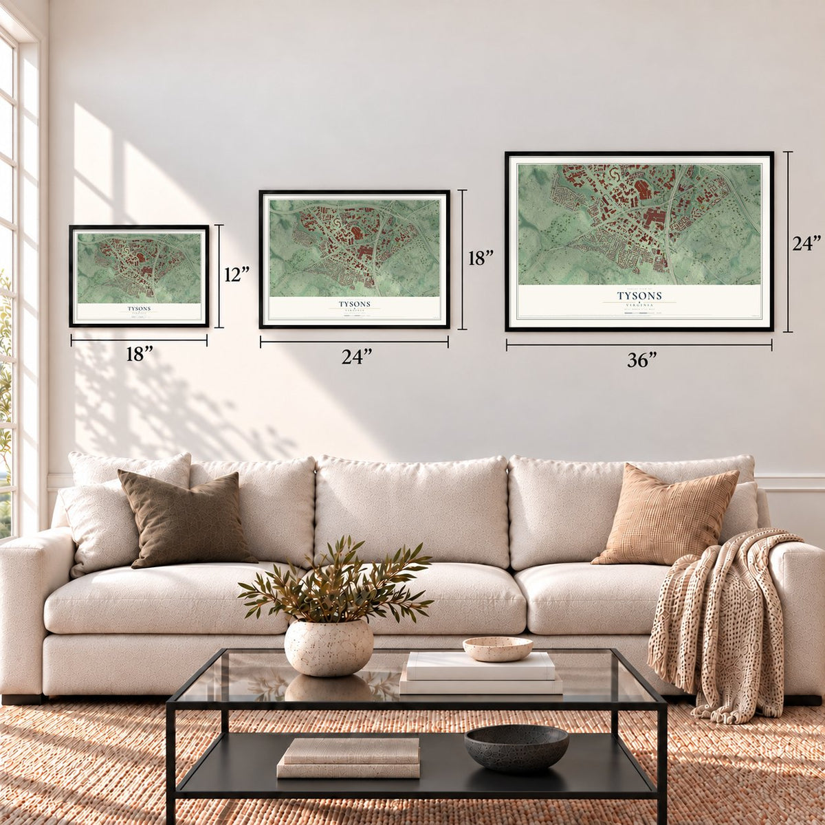
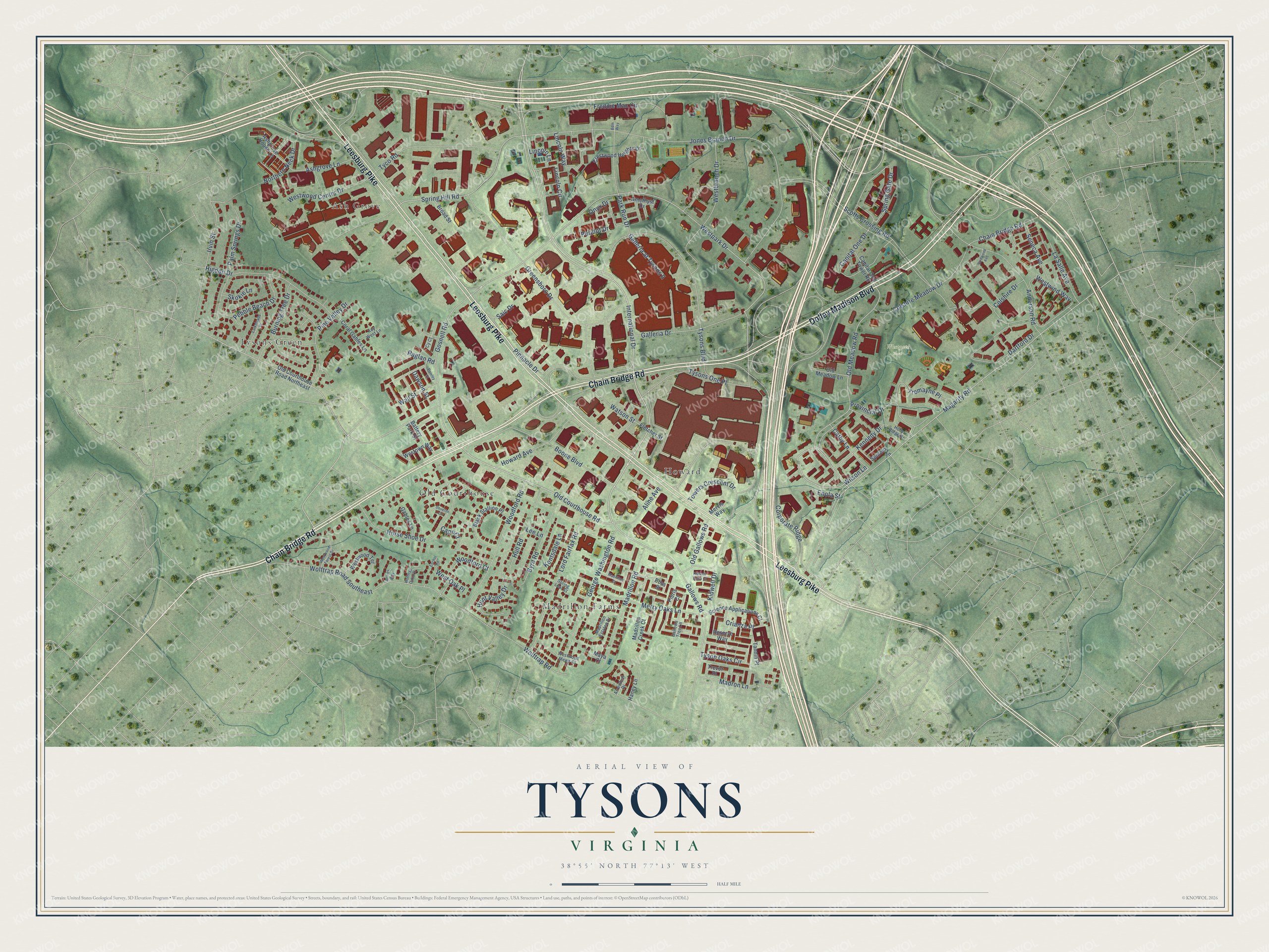
A new map of Tysons, Virginia, made in 2026 and printed to order on thick archival matte paper.
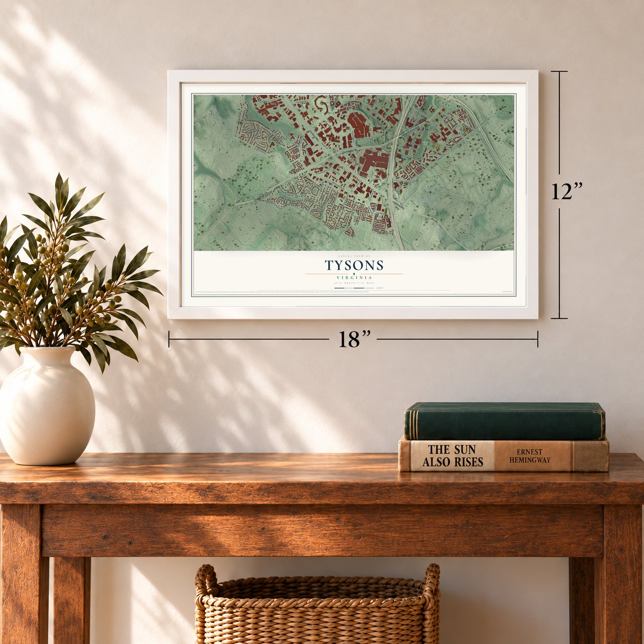
12" x 18" Archival Matte Print
A Map of Home. A Work of Art.
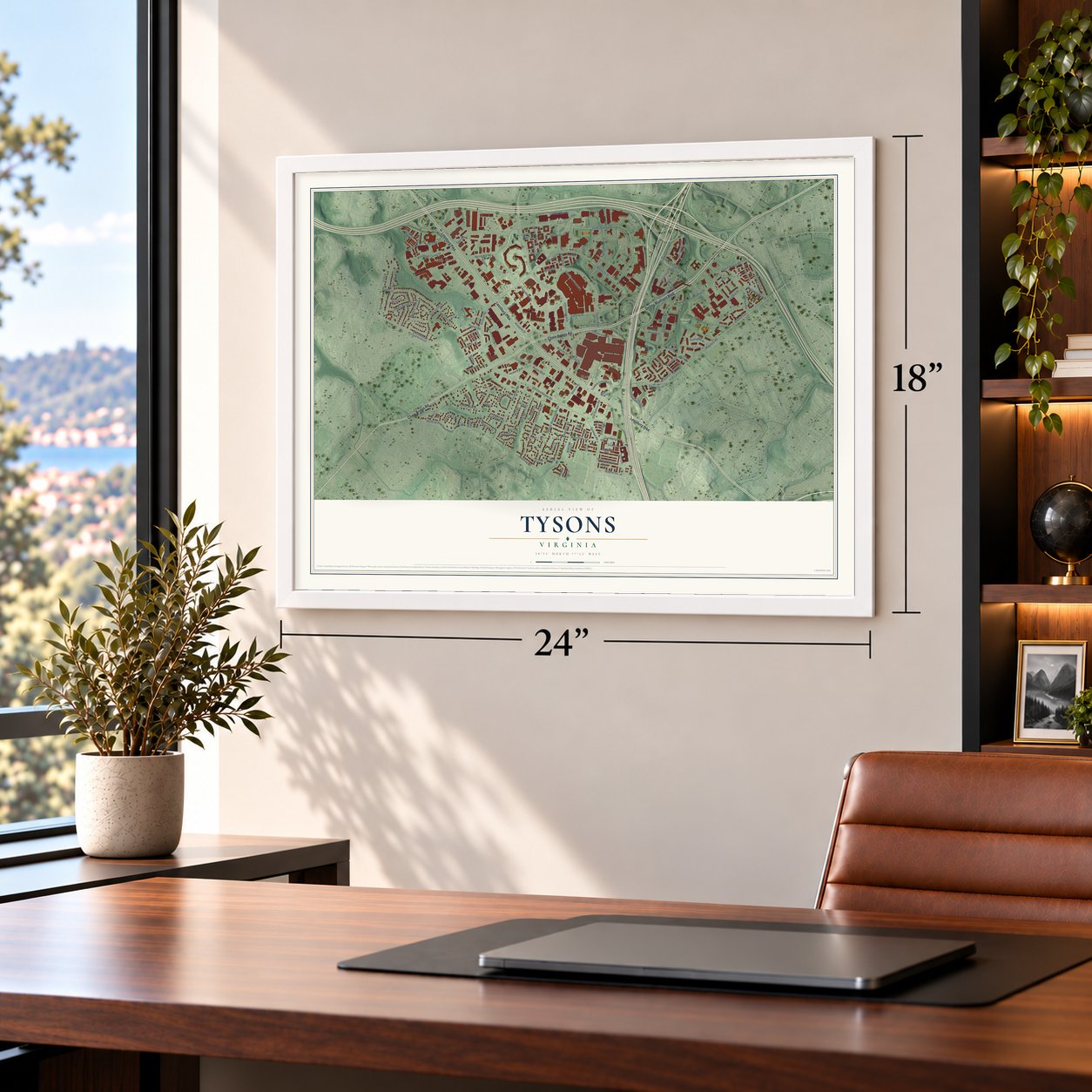
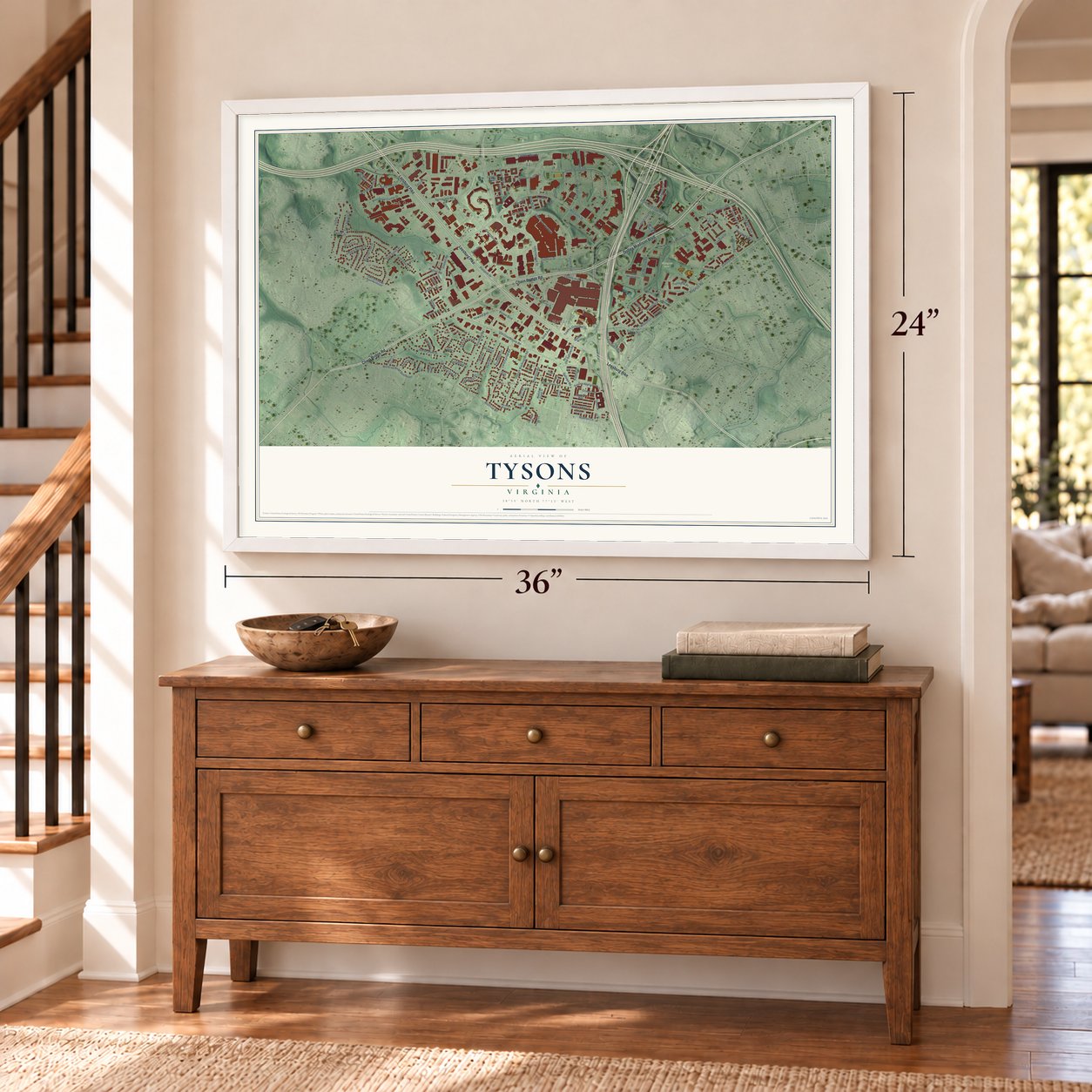
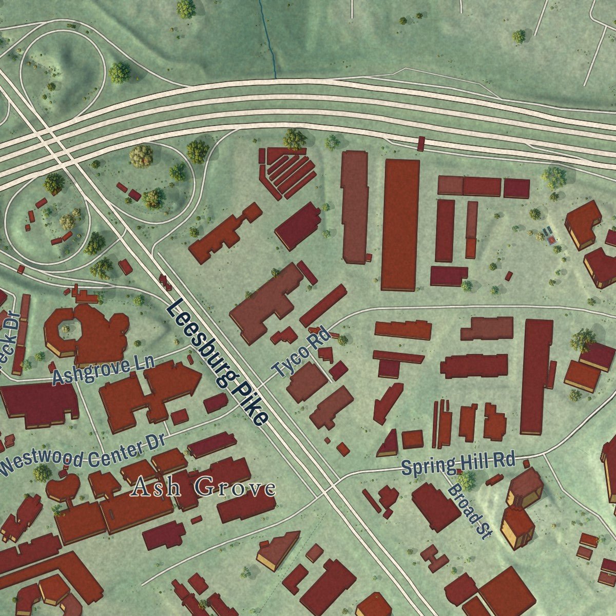
Explore Tysons, Virginia from a whole new perspective. Created using aerial imagery and detailed geographic data, this map captures Tysons building by building, with labeled streets, familiar landmarks, and shaded topographical relief that highlights the natural contours of the landscape.
Combining modern data with the timeless character of a vintage atlas, this map is just as interesting up close as it is beautiful on the wall. Whether you grew up in Tysons, spent memorable years there, or call it home today, this unique map is a great way to celebrate a place that means something to you. Zoom in on the preview to look for your street, and then order a print to put your memories on the wall.
Three ways to hang it
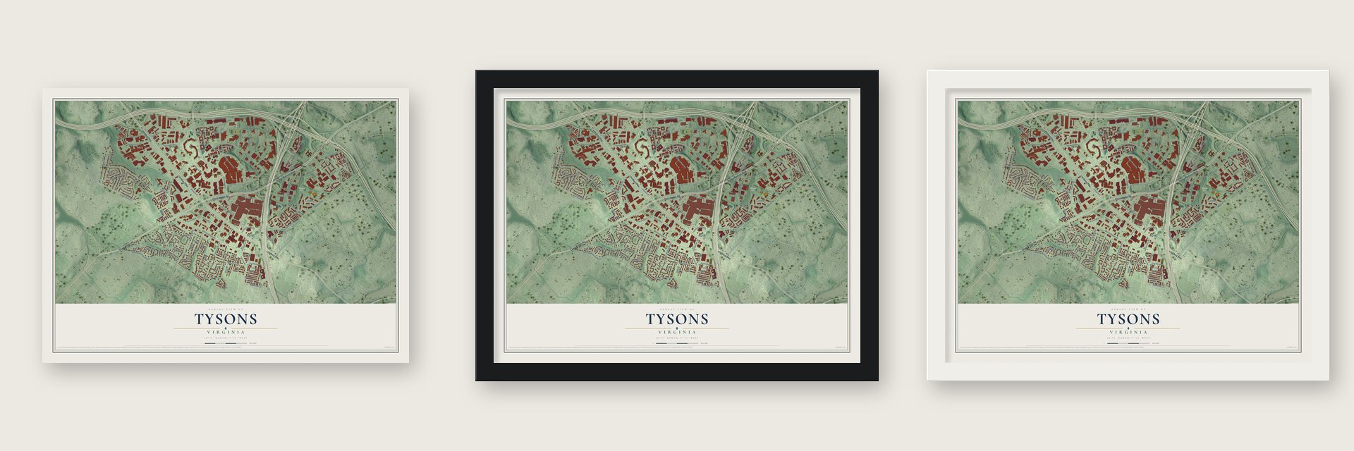
Unframed archival matte, a black wood frame or a white wood frame.
Up close
Geography Worth Displaying
This map was created using accurate cartographic data and authoritative geographic sources, including the U.S. Geological Survey and the Census Bureau. The map brings together terrain, waterways, roads, and building detail. The majority of the streets are labeled, houses are accurately depicted, and the topography is derived from government sources. Combining local data with carefully composed color and shading leads to this beautifully detailed Tysons artwork for your wall.
Rather than simply showing street outlines, we’ve included as many of the street names as we could reasonably fit on the map while keeping their names legible. Zoom in on the high resolution preview to see exactly what’s on the map. We truly set out to create a statement piece for anyone who loves Tysons. So whether it’s for you, or a gift for someone you love, we hope this map of Tysons brings back fond memories.
Read the story behind this map of Tysons, Virginia from 2026.

About Tysons, Virginia
Tysons is a census-designated place of 26,374 people in Fairfax County, where Chain Bridge Road meets Leesburg Pike. The area was first known as Peach Grove. William Tyson, who came from Cecil County, Maryland, bought land here from A. Lawrence Foster and ran the Peach Grove Post Office from 1854 to 1866. After the Civil War the crossing took his name as Tysons Crossroads.
As late as the 1950s it was still a quiet country corner with a few small stores. Tyson's descendants sold apples and cider there from the edge of their property. The county's Board of Supervisors gave its approval in 1962 to the Tysons Corner Shopping Center, which would sit on 88.13 acres of a 150-acre triangle formed by the Capital Beltway, Leesburg Pike and Chain Bridge Road. It opened on July 25, 1968, and its developers called it the world's largest enclosed mall.
- Dropping the CornerThe Silver Line was set to open in mid-2014. Before it did, the county board and the Tysons Partnership began calling the area simply Tysons. At first the change was unofficial, and addresses could use either name. Then in November 2015 the Census Bureau announced that Tysons would become the official name the next summer.
- The county's highest pointThe highest natural point in Fairfax County is in Tysons, at 520 feet above sea level. Wolftrap Creek runs along the community's northwestern edge, and Scott Run flows north through eastern Tysons toward the Potomac.
- The model edge cityJoel Garreau used Tysons as a key example in his study of edge cities. Unlike a bedroom suburb, it fills up in the morning and empties at night, with more than 100,000 people by day and fewer than 20,000 after dark. In 2008 the county board voted unanimously for a 40-year plan to build a denser downtown around four Silver Line stops.
- AOL's home until 1996AOL had its headquarters in Tysons until 1996. Capital One, Freddie Mac, Hilton Worldwide and Booz Allen Hamilton are based here today. With 115,000 office and retail workers, Tysons ranks as the nation's 12th-largest employment center.
Find your street
Names on the Tysons map
Every name below is printed on this map. Look for your street, your school, the park where you played, or the pond down the road.
Places and landmarks6
- Westgate Park
- Ash Grove
- Howard
- Madrillon Farms
- Old Courthouse
- Tysons Green
Streets and roads128
- Dolley Madison Boulevard
- Chain Bridge Road
- Leesburg Pike
- Kennedy Drive
- Wilson Lane
- Peridot Drive
- Westpark Drive
- Old Courthouse Road
- Gosnell Road
- Ashgrove Lane
- International Drive
- Gallows Road
- Old Meadow Road
- Saic Drive
- Spring Hill Road
- Spring Gate Drive
- Merry Oaks Lane
- Magarity Road
- Jones Branch Drive
- Scotts Crossing Road
- Tysons One Place
- Greensboro Drive
- Tysons Boulevard
- Wolftrap Road Southeast
- Dartford Drive
- Colshire Drive
- Boone Boulevard
- Horse Shoe Drive
- Wolftrap Road
- Anderson Road
Show all 128 streets
- George Washington Road
- Westbranch Drive
- Lord Fairfax Road
- Westwind Way
- Woodford Road
- Higdon Drive
- Tyco Road
- Irvin Street
- Freddie Mac Circle
- Colshire Meadow Drive
- Madrillon Road
- Capital One Drive
- Howard Avenue
- Galleria Drive
- Palm Springs Drive
- Galleria at Tysons II
- Park Run Drive
- Tyson Oaks Circle
- Provincial Drive
- Towers Crescent Drive
- Pine Valley Drive
- Lincoln Way
- Lincoln Circle
- Burning Tree Drive
- Byrd Road
- Pinnacle Drive
- Westwood Center Drive
- Hull Road
- Northern Neck Drive
- Watson Street
- Corporate Ridge
- Tremayne Place
- Hunt Valley Drive
- Kidwell Drive
- Madron Lane
- Pebble Beach Drive
- La Salle Avenue
- Aline Avenue
- Raglan Road
- Seneca Avenue
- Onyx Drive
- Cathy Lane
- Crianza Place
- Old Gallows Road
- Enola Street
- West Oak Place
- Wall Street
- Woodford Court
- Dawson Street
- Kentsdale Lane
- Lincoln Lane
- Skokie Lane
- Capo Court
- Lee Lane
- Boss Street
- Science Applications Court
- Westown Way
- Old Courthouse Road Northeast
- Crestwood Heights Drive
- Black Stallion Place
- Ashgrove House Lane
- Reserve Way
- Tannin Place
- Westwood Terrace
- Coral Gables Lane
- Pieris Court
- Old Meadow Lane
- Capital One Tower Road
- Madrillon Creek Court
- Gables Lane
- Fletcher Street
- Amethyst Drive
- Broad Street
- Trevor Place
- Battery Park Street
- Spoleto Lane
- Haney Lane
- Mervis Way
- Maya Court
- Holly Ridge Drive
- Madrillon Estates Drive
- Arrowleaf Drive
- Gallows Tree Lane
- Westwood Mews Court
- Key West Lane
- Spring Leaf Court
- Cy Court
- Madrillon Court
- Larkmeade Drive
- Birdwood Avenue
- Westwood Forest Drive
- Eschol Road
- Wolftrap Oaks Court
- Paisley Court
- Kidwell Town Court
- Doveton Circle
- Annies Way
- Bdm Way
Names are listed as they appear on the printed map. Zoom into the product photos to find them.
The art of mapping a place
How This Map Was Made
Real places. Remarkable detail. Discover the layers that turn geographic data into a map of home.

The view from above
Aerial imagery reveals the character of the land: woodland, open fields, and the patterns of a place.

The shape of the land
Elevation data brings hills, valleys, and subtle changes in the landscape into view.

The details of home
Roads, waterways, and building footprints come together to make the map feel unmistakably local.

Geography becomes art
Considered color, shading, and typography bring the layers together in a map made for your wall.


Process illustrated with Mendon, Massachusetts. Aerial imagery: USDA NAIP. Terrain: USGS 3D Elevation Program. Map details and finished artwork: KNOWOL.
The Details
About This Print
Choose an archival matte print, or a black or white Ayous wood frame. The archival matte print is unframed.
Select your size and finish above to see the matching product image and price.
Materials & Craftsmanship
A contemporary map with the character of a classic atlas, printed on archival matte paper. Optional frames are made from Ayous wood.
Your printed map does not include the watermark shown in the full-map preview.
Shipping & Delivery
Free shipping within the United States. Every print is made to order in the USA.
Buying a gift? Add a note in your cart and we'll include it. We never put prices in the package.
Prints ship within 2 to 3 business days. Allow 7 to 10 days total from ordering for delivery. Timing may vary during holidays or periods of high order volume.
Read our shipping policy.
Returns and damaged prints
Each print is made to order. Change-of-mind refunds are not available after production.
If your print arrives damaged, misprinted or incorrect, contact support@knowol.com within 30 days of receiving it. Include your order number, photos and a description of the issue.
Read our full refund and replacement policy. For questions about your order, email support@knowol.com.
Find your town
Looking for another city?
Find a map of home in our Virginia collection, or any town in the country.
Nearby
Maps of towns near Tysons
Know someone from one of these towns? Their map makes a great gift.
 Pimmit Hills
, Virginia
From $39.99See the map
 McLean
, Virginia
From $39.99See the map
 Dunn Loring
, Virginia
From $39.99See the map
More maps nearby: Idylwood, Vienna, Merrifield, Wolf Trap and Falls Church.