
Search for another town


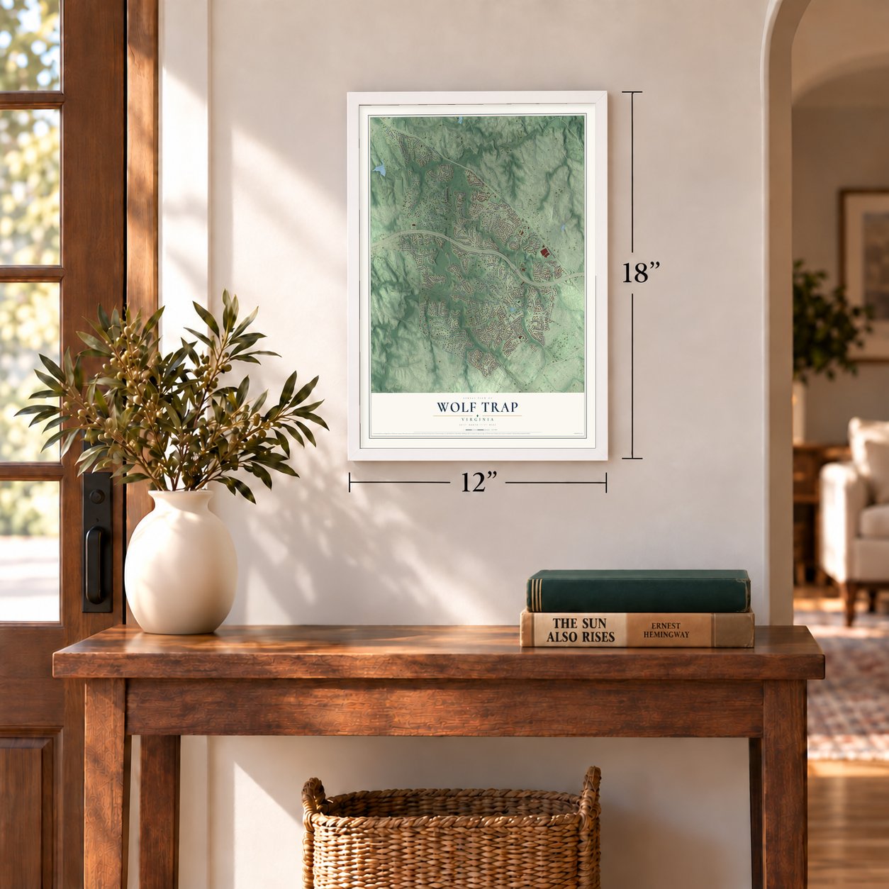
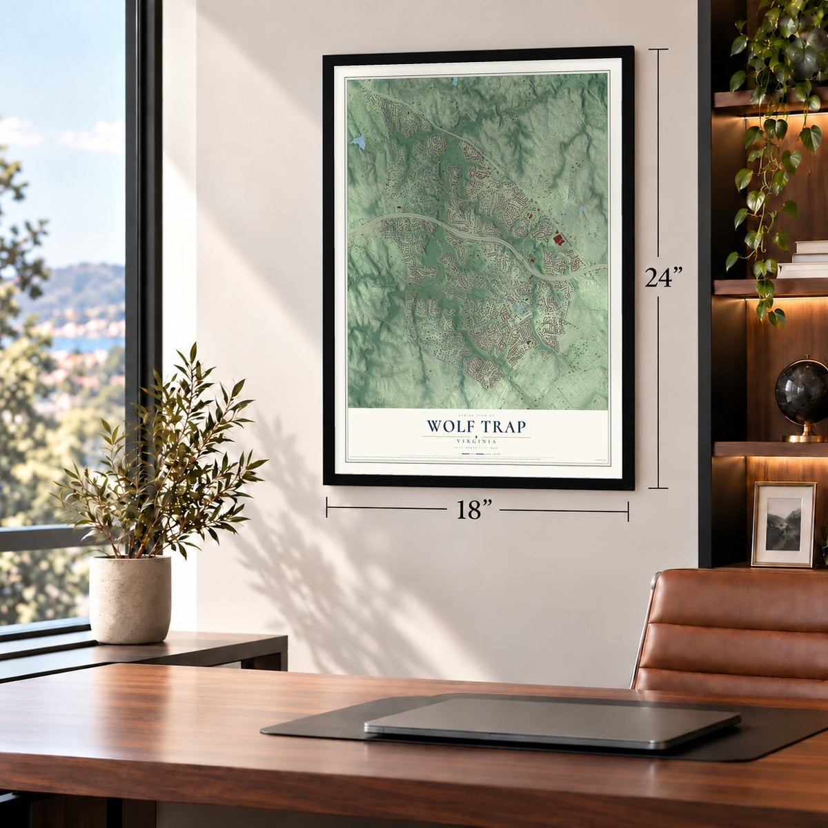
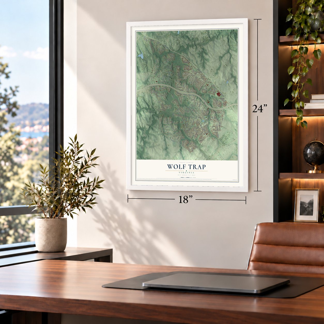
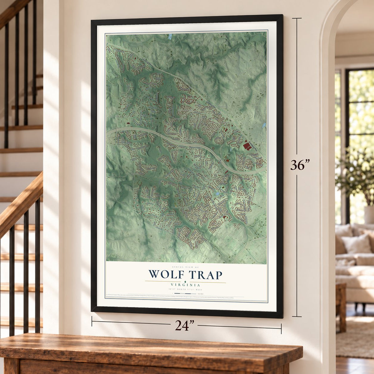

Free U.S. delivery 7 to 10 days after you order
Wolf Trap, Virginia Map Art
A new map of Wolf Trap, Virginia, made in 2026 and printed to order on thick archival matte paper.
12" x 18" Archival Matte Print
A Map of Home. A Work of Art.
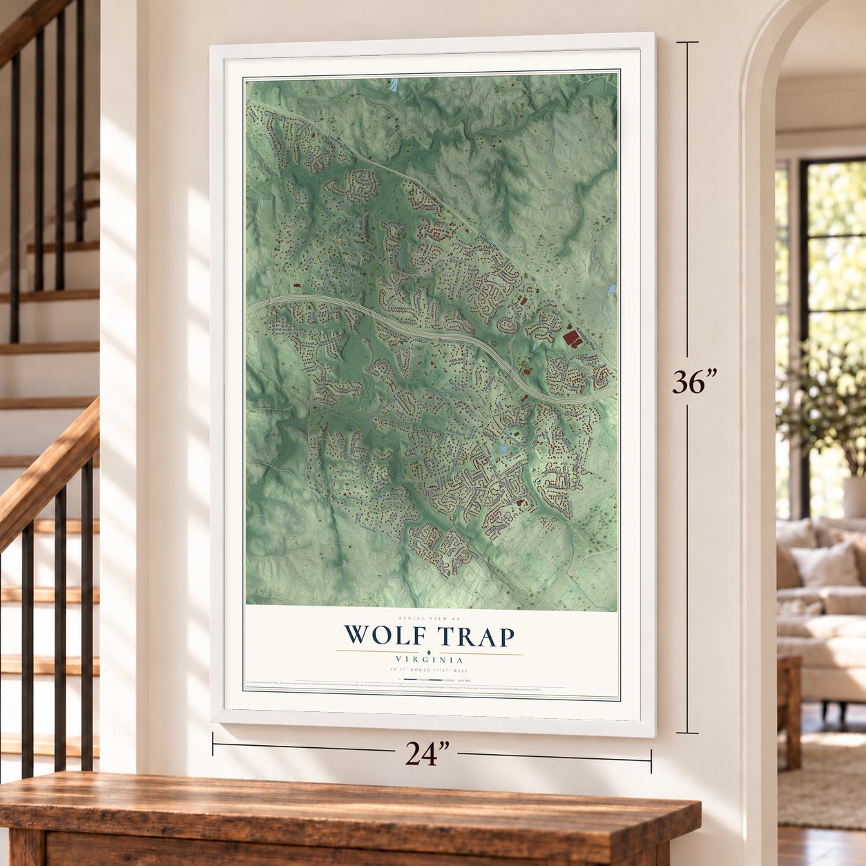
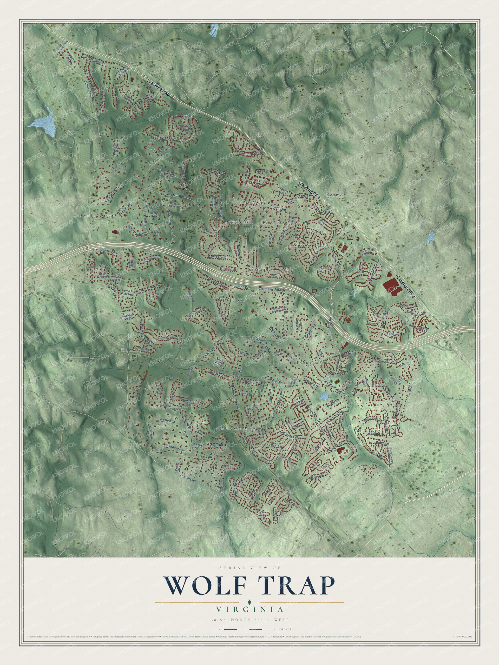
Explore Wolf Trap, Virginia from a whole new perspective. Created using aerial imagery and detailed geographic data, this map captures Wolf Trap building by building, with labeled streets, familiar landmarks, and shaded topographical relief that highlights the natural contours of the landscape.
Combining modern data with the timeless character of a vintage atlas, this map is just as interesting up close as it is beautiful on the wall. Whether you grew up in Wolf Trap, spent memorable years there, or call it home today, this unique map is a great way to celebrate a place that means something to you. Zoom in on the preview to look for your street, and then order a print to put your memories on the wall.
Three ways to hang it
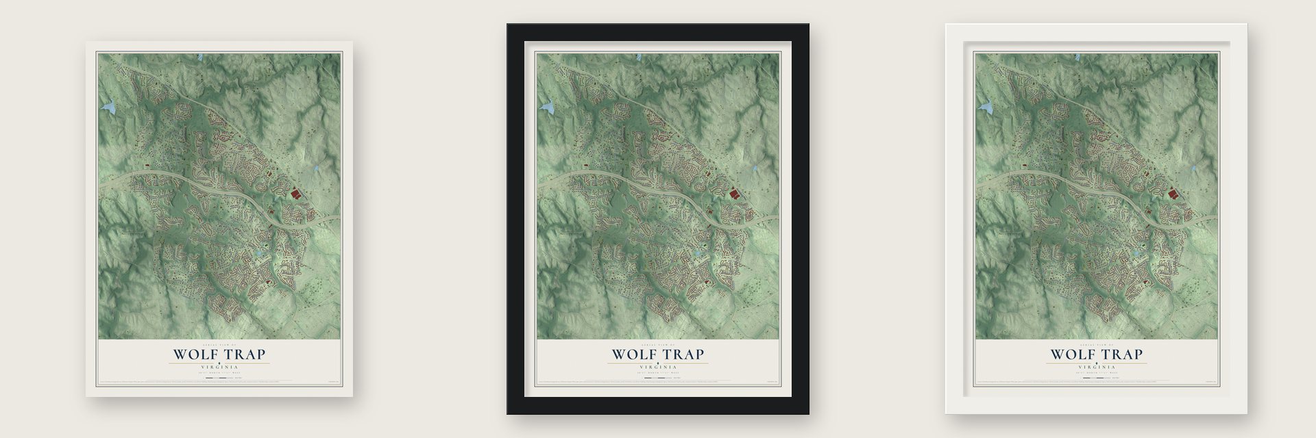
Unframed archival matte, a black wood frame or a white wood frame.
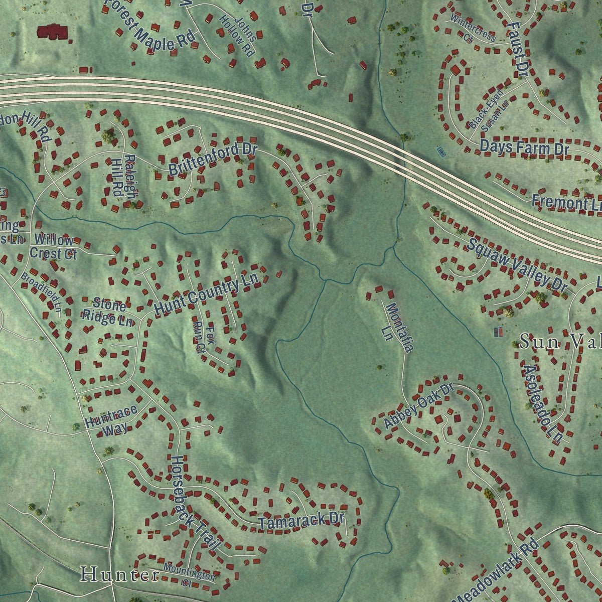
Up close
Geography Worth Displaying
This map was created using accurate cartographic data and authoritative geographic sources, including the U.S. Geological Survey and the Census Bureau. The map brings together terrain, waterways, roads, and building detail. The majority of the streets are labeled, houses are accurately depicted, and the topography is derived from government sources. Combining local data with carefully composed color and shading leads to this beautifully detailed Wolf Trap artwork for your wall.
Rather than simply showing street outlines, we’ve included as many of the street names as we could reasonably fit on the map while keeping their names legible. Zoom in on the high resolution preview to see exactly what’s on the map. We truly set out to create a statement piece for anyone who loves Wolf Trap. So whether it’s for you, or a gift for someone you love, we hope this map of Wolf Trap brings back fond memories.
Read the story behind this map of Wolf Trap, Virginia from 2026.

About Wolf Trap, Virginia
Wolf Trap is a census-designated place in northern Fairfax County, and the 2020 census counted 16,496 people here. It lies between McLean, Tysons Corner, Vienna, Oakton, Reston and Great Falls, about 16 miles west of downtown Washington, D.C. The community shares its name with Wolf Trap National Park for the Performing Arts, which opened within its bounds in 1971.
- A park built for performanceNo other national park is set aside for the performing arts. When it opened in 1971, the park worked hand in hand with the nonprofit Wolf Trap Foundation, which was started by Shouse, the same founder behind the park itself.
- Will Graham's TV addressIn Hannibal, the NBC series that began in 2013, FBI investigator Will Graham, played by Hugh Dancy, makes his home in Wolf Trap. The house seen on screen was really filmed in Whitevale, a hamlet in Ontario.
Find your street
Names on the Wolf Trap map
Every name below is printed on this map. Look for your street, your school, the park where you played, or the pond down the road.
Places and landmarks12
- Beau Ridge
- Browns Mill
- Cinnamon Creek
- Clarks Crossing
- Crowells Corner
- Four Corners
- Hunter
- Kenmore
- Shouse Village
- Spring Ridge
- Sun Valley
- Towlston Meadow
Streets and roads184
- Leesburg Pike
- Trap Road
- Hunter Mill Road
- Beulah Road Northeast
- Lawyers Road
- Old Courthouse Road
- Meadowlark Road
- Crowell Road
- Abbotsford Drive
- Browns Mill Road
- Shouse Drive
- Brittenford Drive
- Batten Hollow Road
- Clarks Crossing Road
- Dunn Meadow Road
- Carpers Farm Way
- Carrhill Road
- Montmorency Drive
- Laurel Hill Road
- Talisman Drive
- Atwood Road
- Wendover Drive
- Tamarack Drive
- Brookside Lane
- Cedar Pond Drive
- Prelude Drive
- Days Farm Drive
- Towlston Road
- Rosewood Hill Drive
- Percussion Way
Show all 184 streets
- Horseback Trail
- Hunt Country Lane
- Jarrett Valley Drive
- Drewlaine Drive
- Lozano Drive
- Victoria Farms Lane
- Sibelius Drive
- Wynhurst Lane
- Irvin Street
- Colvin Forest Drive
- Bois Avenue
- Post Road
- Newkirk Court
- Windstone Drive
- Foxstone Drive
- Middleton Ridge Road
- Wolftrap Run Road
- Hunting Crest Lane
- Hillington Court
- Besley Road
- Chathams Ford Drive
- Kedge Drive
- Faust Drive
- Robnel Place
- Baton Drive
- Fremont Lane
- Westford Drive
- Gunnell Farms Drive
- Tuba Court
- Creek Crossing Road
- Statute Lane
- Center Street
- Delancey Drive
- Coach Road
- Fosbak Drive
- Wind Haven Way
- Deramus Farm Court
- Ridge Lane
- Fonda Drive
- Forest Maple Road
- Lupine Den Drive
- Campbell Road
- Arabian Avenue
- Clover Glen Drive
- Proffit Road
- Glenridge Court
- Wexford Drive
- Rockport Road
- Freda Drive
- Old Ash Grove
- Miller Lane
- Chase Hill Court
- Millfarm Drive
- Ballycor Drive
- Asoleado Lane
- Katie Bird Lane
- Elgin Drive
- Lakeside Drive
- Scarab Street
- Ferol Drive
- Teets Lane
- Abbey Oak Drive
- Maymont Drive
- Mount Sunapee Road
- Montague Drive
- Hicks Drive
- Carrington Lane
- Labrador Lane
- Blairstone Drive
- Yellow Pine Drive
- Cobble Pond Way
- Whippoorwill Road
- Edgepark Road
- Liberty Tree Lane
- Landon Hill Road
- Saint Roman Drive
- Nightshade Court
- Coral Crest Lane
- Montafia Lane
- Counsellor Drive
- Stokley Way
- Clovermeadow Drive
- Rosewood Hill Circle
- Adams Hill Road
- Raleigh Hill Road
- Tetterton Avenue
- Brookstone Lane
- Abbey Glen Court
- White Pine Drive
- Gelding Lane
- Willow Crest Court
- Baron Cameron Avenue
- Contralto Court
- Windy Knoll Lane
- Water Falls Lane
- Brookmeadow Drive
- Coving Cross Lane
- Bird Road
- Limb Tree Lane
- Bent Creek Lane
- Pillory Drive
- Huntrace Way
- Delta Glen Court
- Carpers Farm Court
- Country View Court
- Lucky Estates Drive
- Stone Ridge Lane
- Saddle Road
- Hidden Hill Lane
- Clarks Glen Place
- Bixler Lane
- Nigel Court
- Streamview Lane
- Creek Crossing Road Northeast
- Farmside Place
- Fox Run Court
- Leemay Street
- Westerholme Way
- Johns Hollow Road
- Lowland Station Road
- Meadowmere Drive
- Kilby Glen Drive
- Helmwood Court
- Brookhill Lane
- Galloping Way
- Brooktrail Court
- Thistle Ridge Lane
- Toyon Way
- Red Rock Court
- Bridleridge Court
- Aubrey Place Court
- Hawthorne Ridge Court
- Brenner Court
- Lupine Den Court
- Hunter View Farms
- Podium Drive
- Bartholomew Court
- Black-Eyed Susan Lane
- Symphony Meadow Lane
- Claves Court
- Midlothian Court
- Wintercress Court
- Layminster Lane
- Mountington Court
- Broadfield Lane
- Trumpet Court
- Scenic View Terrace
- Rosaleigh Court
- Burlwood Court
- Snughill Court
- Wareham Court
- Macy Avenue
- Docket Lane
- Whitley Drive
Names are listed as they appear on the printed map. Zoom into the product photos to find them.
The art of mapping a place
How This Map Was Made
Real places. Remarkable detail. Discover the layers that turn geographic data into a map of home.

The view from above
Aerial imagery reveals the character of the land: woodland, open fields, and the patterns of a place.

The shape of the land
Elevation data brings hills, valleys, and subtle changes in the landscape into view.

The details of home
Roads, waterways, and building footprints come together to make the map feel unmistakably local.

Geography becomes art
Considered color, shading, and typography bring the layers together in a map made for your wall.


Process illustrated with Mendon, Massachusetts. Aerial imagery: USDA NAIP. Terrain: USGS 3D Elevation Program. Map details and finished artwork: KNOWOL.
The Details
About This Print
Choose an archival matte print, or a black or white Ayous wood frame. The archival matte print is unframed.
Select your size and finish above to see the matching product image and price.
Materials & Craftsmanship
A contemporary map with the character of a classic atlas, printed on archival matte paper. Optional frames are made from Ayous wood.
Your printed map does not include the watermark shown in the full-map preview.
Shipping & Delivery
Free shipping within the United States. Every print is made to order in the USA.
Buying a gift? Add a note in your cart and we'll include it. We never put prices in the package.
Prints ship within 2 to 3 business days. Allow 7 to 10 days total from ordering for delivery. Timing may vary during holidays or periods of high order volume.
Read our shipping policy.
Returns and damaged prints
Each print is made to order. Change-of-mind refunds are not available after production.
If your print arrives damaged, misprinted or incorrect, contact support@knowol.com within 30 days of receiving it. Include your order number, photos and a description of the issue.
Read our full refund and replacement policy. For questions about your order, email support@knowol.com.
Find your town
Looking for another city?
Find a map of home in our Virginia collection, or any town in the country.
Nearby
Maps of towns near Wolf Trap
Know someone from one of these towns? Their map makes a great gift.
 Oakton
, Virginia
From $39.99See the map
 Vienna
, Virginia
From $39.99See the map
 Tysons
, Virginia
From $39.99See the map
More maps nearby: Great Falls Crossing, Reston, Difficult Run, McLean and Dunn Loring.