
Search for another town




Free U.S. delivery 7 to 10 days after you order
Vienna, Virginia Map Art
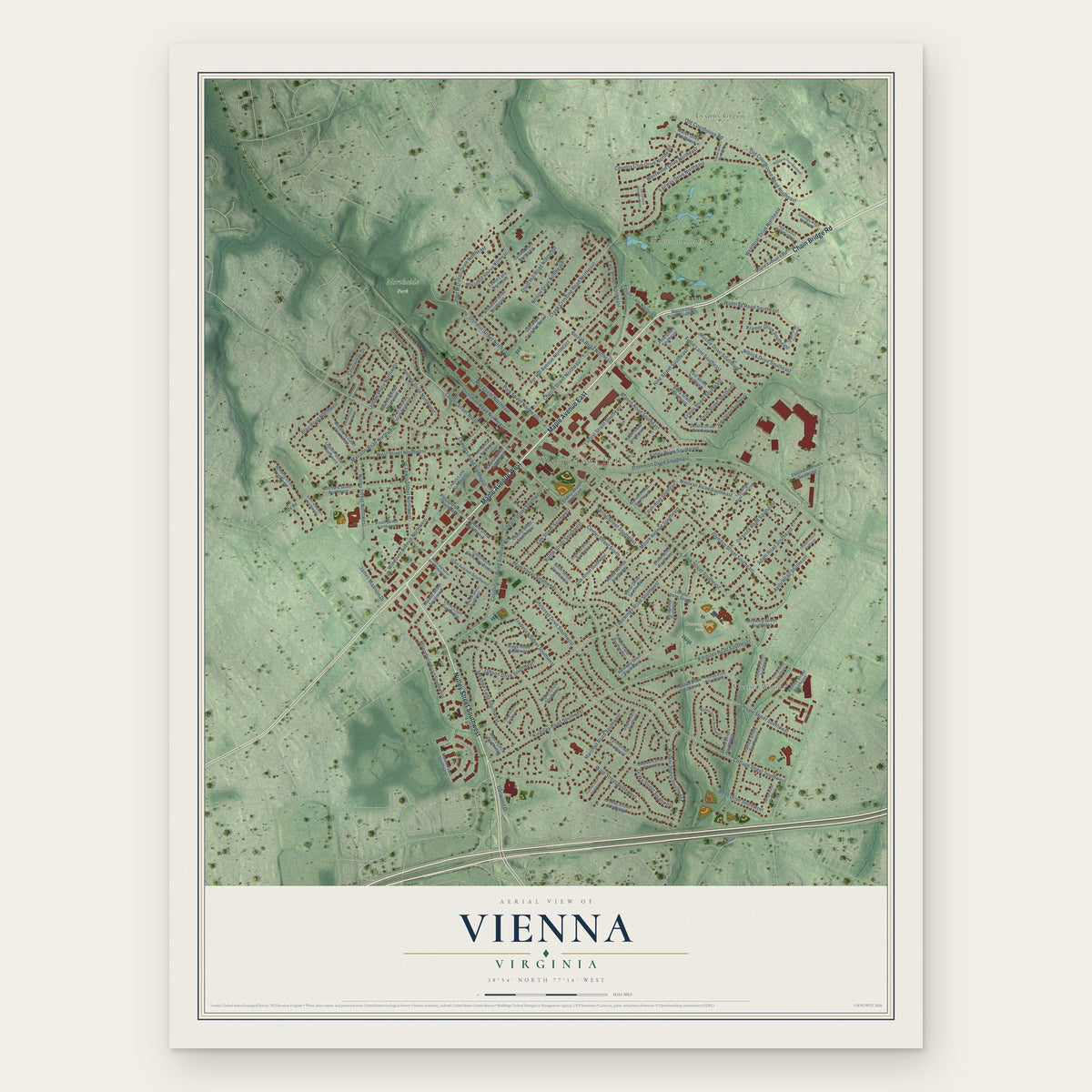
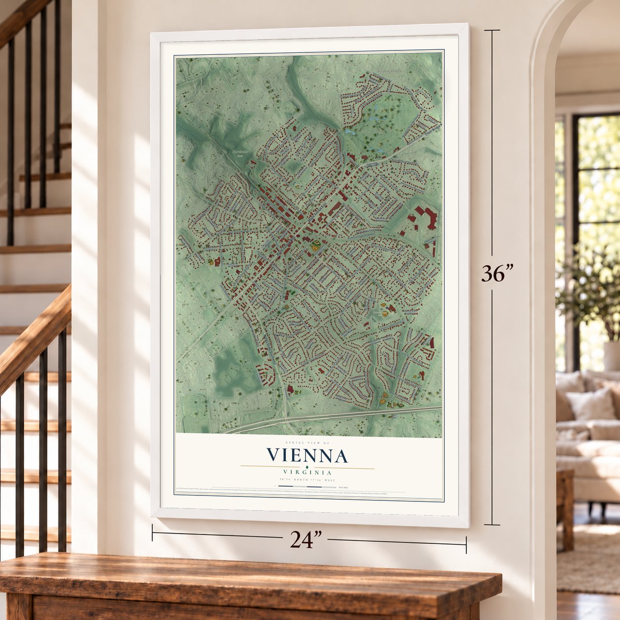
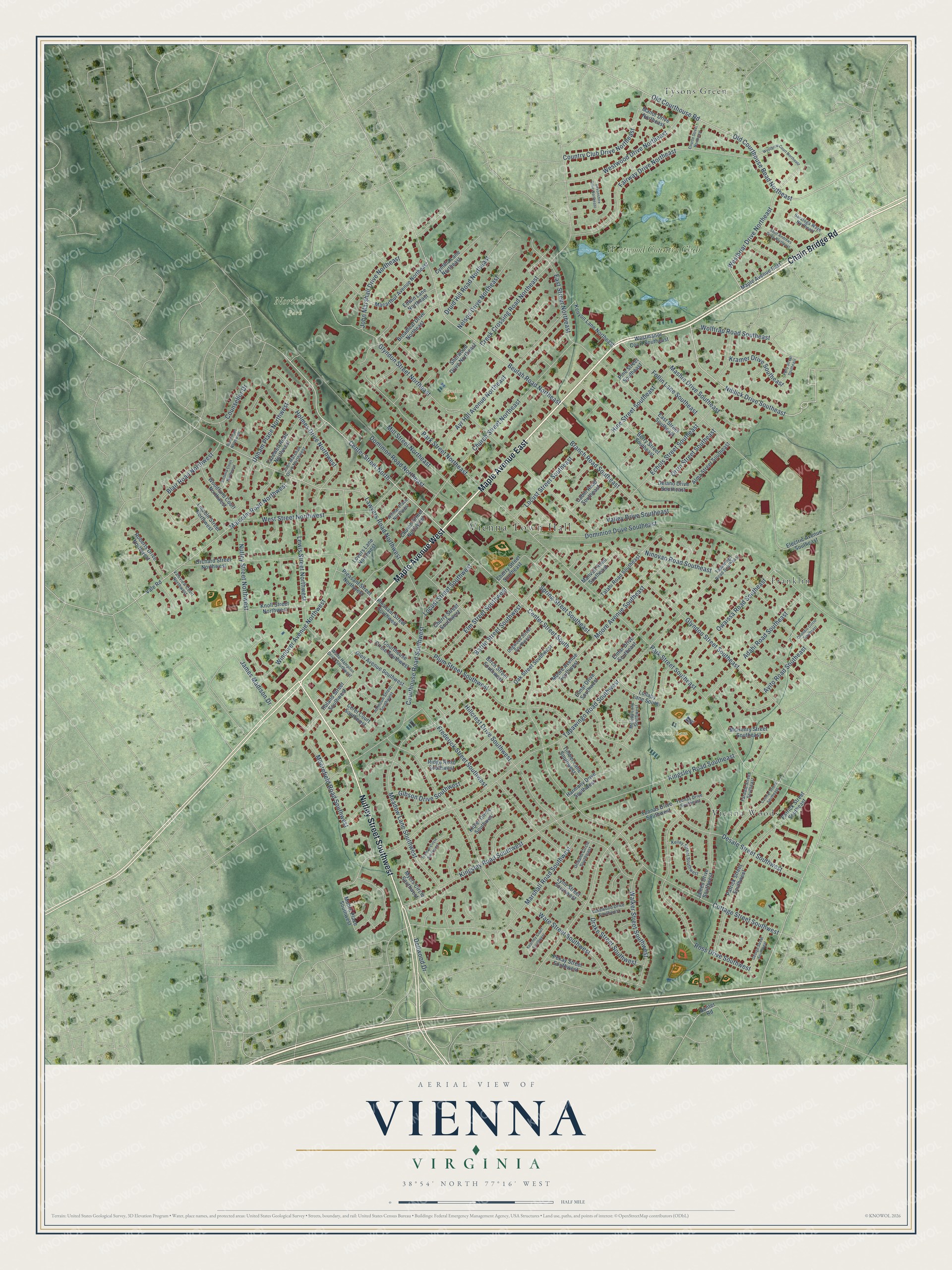
A new map of Vienna, Virginia, made in 2026 and printed to order on thick archival matte paper.
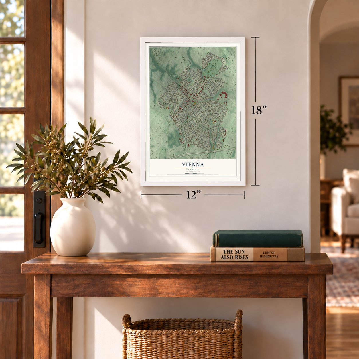
12" x 18" Archival Matte Print
A Map of Home. A Work of Art.
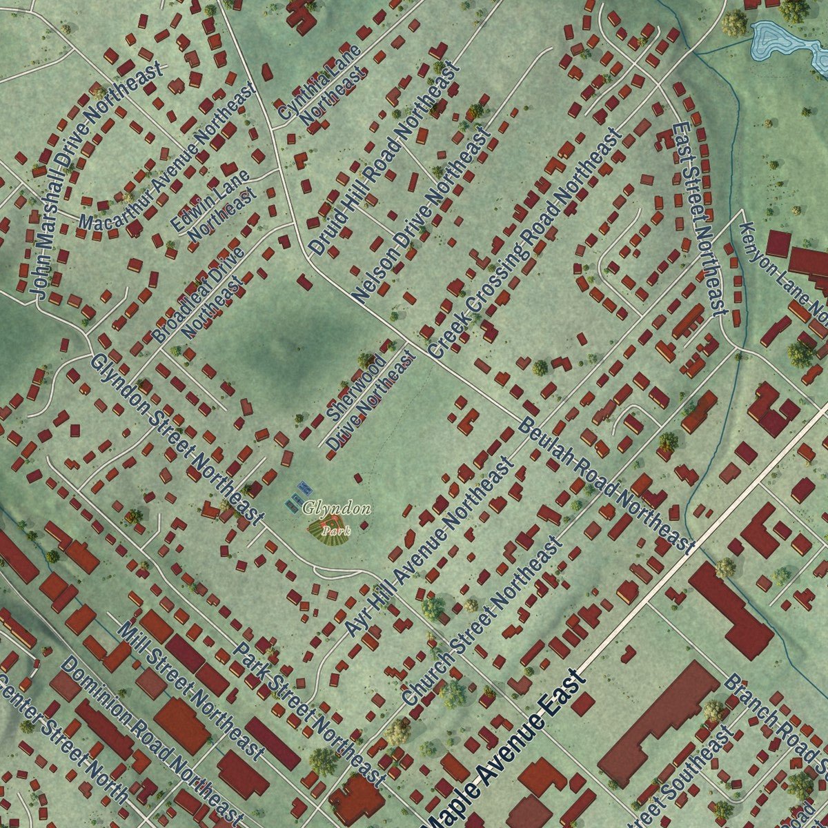
Explore Vienna, Virginia from a whole new perspective. Created using aerial imagery and detailed geographic data, this map captures Vienna building by building, with labeled streets, familiar landmarks, and shaded topographical relief that highlights the natural contours of the landscape.
Combining modern data with the timeless character of a vintage atlas, this map is just as interesting up close as it is beautiful on the wall. Whether you grew up in Vienna, spent memorable years there, or call it home today, this unique map is a great way to celebrate a place that means something to you. Zoom in on the preview to look for your street, and then order a print to put your memories on the wall.
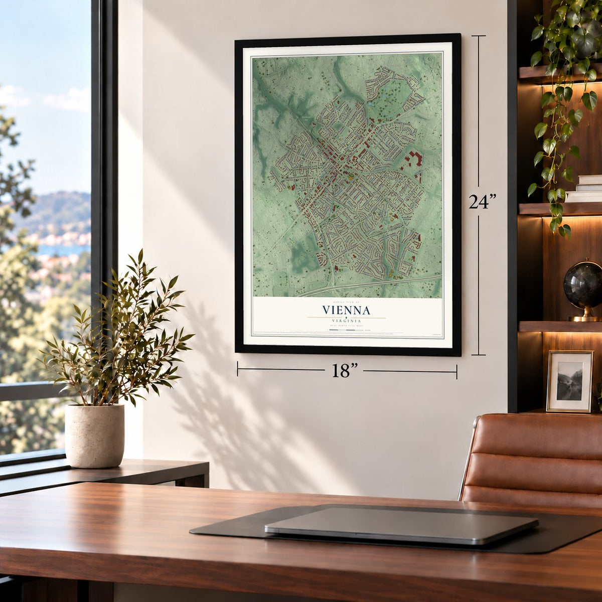
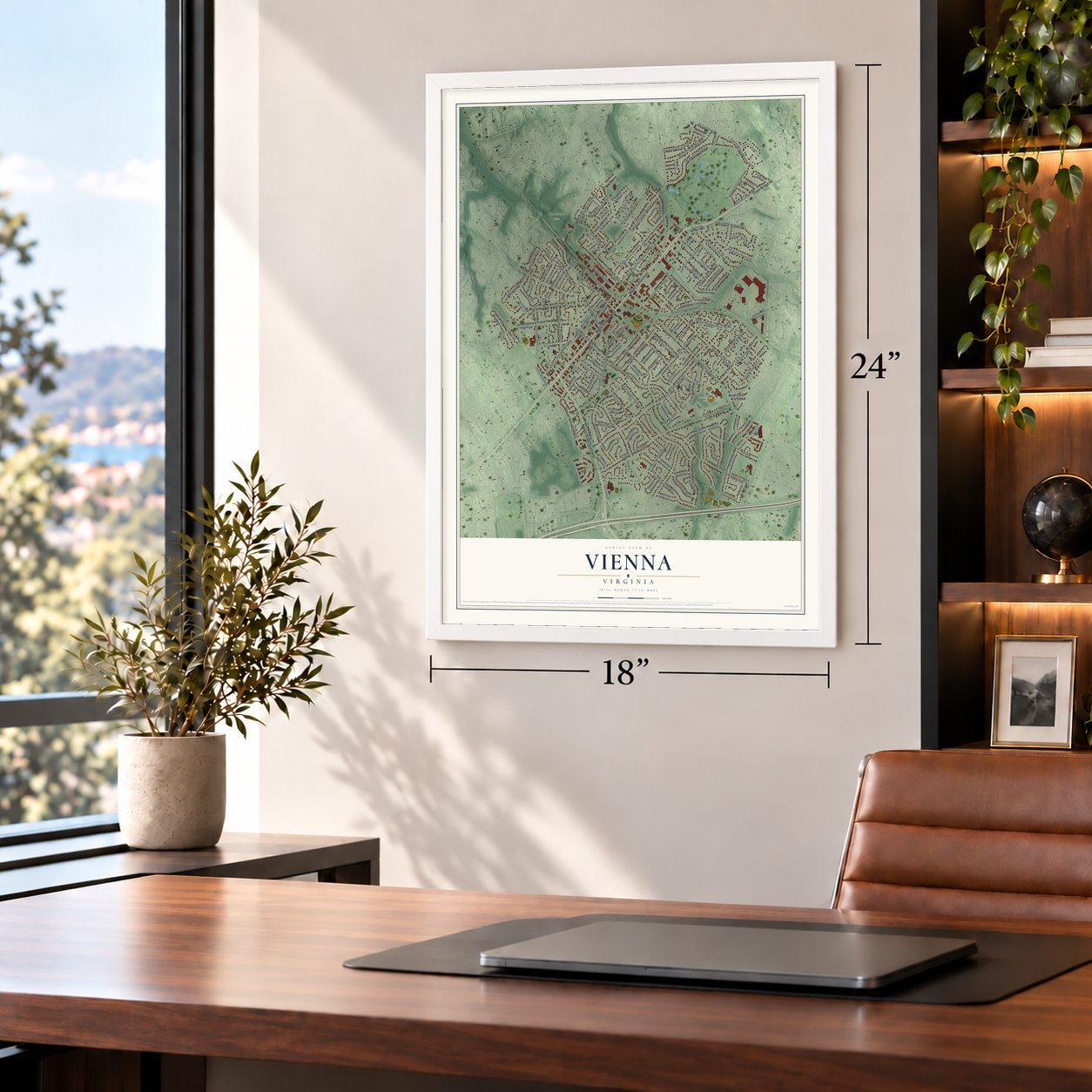
Three ways to hang it
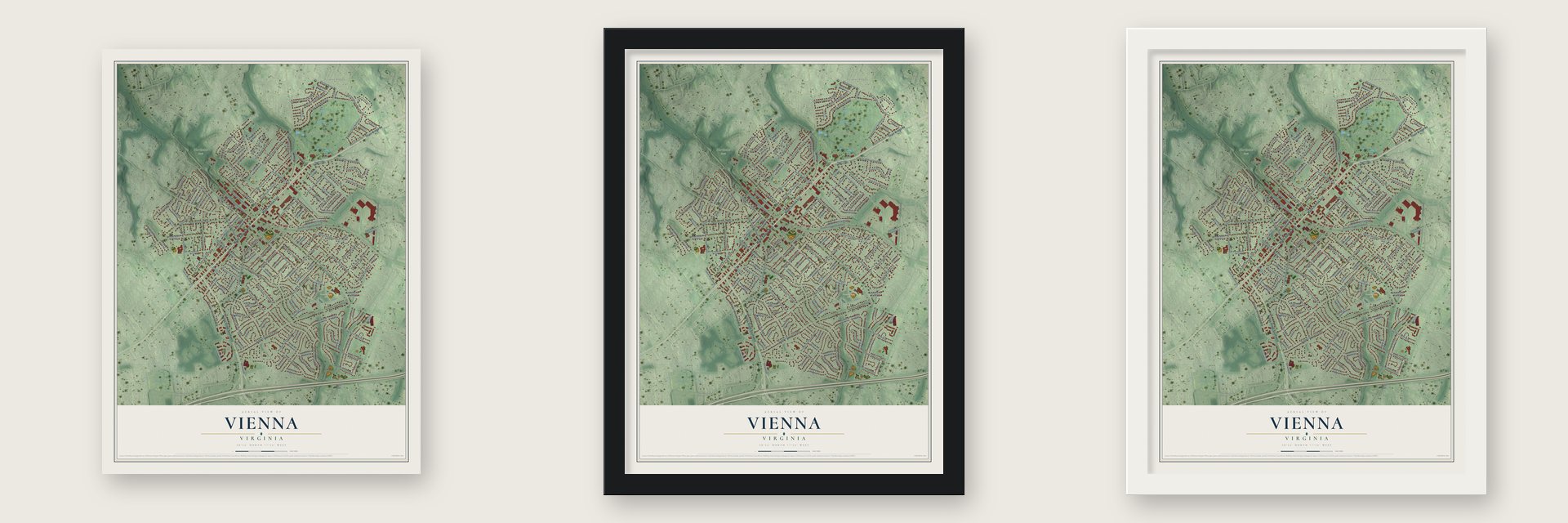
Unframed archival matte, a black wood frame or a white wood frame.
Up close
Geography Worth Displaying
This map was created using accurate cartographic data and authoritative geographic sources, including the U.S. Geological Survey and the Census Bureau. The map brings together terrain, waterways, roads, and building detail. The majority of the streets are labeled, houses are accurately depicted, and the topography is derived from government sources. Combining local data with carefully composed color and shading leads to this beautifully detailed Vienna artwork for your wall.
Rather than simply showing street outlines, we’ve included as many of the street names as we could reasonably fit on the map while keeping their names legible. Zoom in on the high resolution preview to see exactly what’s on the map. We truly set out to create a statement piece for anyone who loves Vienna. So whether it’s for you, or a gift for someone you love, we hope this map of Vienna brings back fond memories.
Read the story behind this map of Vienna, Virginia from 2026.

About Vienna, Virginia
Vienna is a town of 16,473 people in Fairfax County, 12 miles west of Washington, D.C. Colonel Charles Broadwater, a soldier who owned land here, settled inside today's town limits in 1754. In 1767 his son-in-law, John Hunter, built the first house on record and called it Ayr Hill after Ayr, Scotland, where he was born. The whole community soon took that name. In the 1850s a doctor named William Hendrick moved here from Phelps, New York, a place then known as Vienna, and Ayr Hill renamed itself for his hometown.
On June 17, 1861, Brigadier General Robert C. Schenck brought a Union unit toward Vienna from the east by train. Confederate troops under Colonel Maxcy Gregg ambushed the train and forced the Union men to retreat. It was one of the first armed fights of the Civil War, and several historical markers in town now tell the story.
“The railroad reached Vienna in 1859 and provided the impetus for growth into a real village.”
- The Freeman House, 1861The Freeman House in the town center was the polling place when Vienna voted on secession in 1861. During the war both armies used it as a hospital. Today it is a museum and gift shop, and it is on the National Register as the Freeman Store.
- A church built from barracksVienna's First Baptist Church got its start in 1867. Lumber from Union Army barracks, which the church got through the Freedmen's Bureau, went into its first building, and the same building became the town's first public school for Black children. The first public school for white children followed in 1872.
- Named for Louise ArcherVienna later built a permanent elementary school for Black students and named it for Louise Archer, its principal for many years. Fairfax County Public Schools were fully desegregated in fall 1965, and Louise Archer Elementary School still stands inside the town limits.
- Hot dogs since 1960The Vienna Inn, one of the oldest restaurants in the area, has served hot dogs and beer since 1960. The W&OD Trail runs through downtown, and the town green and the Jammin' Java coffeehouse host plays and concerts.
Find your street
Names on the Vienna map
Every name below is printed on this map. Look for your street, your school, the park where you played, or the pond down the road.
Places and landmarks8
- Vienna Town Hall
- Northside Park
- Cunningham Park
- Glyndon Park
- Franklin
- Tysons Green
- Vienna Woods
- Westwood Country Club
Streets and roads156
- Maple Avenue East
- Chain Bridge Road
- Maple Avenue West
- Nutley Street Southwest
- Center Street North
- Niblick Drive Southeast
- Westbriar Drive Northeast
- Center Street South
- Old Courthouse Road Northeast
- Old Courthouse Road
- Cottage Street Southwest
- Park Street Southeast
- Ware Street Southwest
- Glyndon Street Southeast
- Tapawingo Road Southwest
- Kingsley Road Southwest
- Desale Street Southwest
- Courthouse Road Southwest
- Follin Lane Southeast
- Hillcrest Drive Southwest
- Meadow Lane Southwest
- Lawyers Road Northwest
- Glyndon Street Northeast
- Beulah Road Northeast
- Ayr Hill Avenue Northeast
- Plum Street Southwest
- Creek Crossing Road Northeast
- Fairway Drive Northeast
- Church Street Northeast
- Windover Avenue Northwest
Show all 156 streets
- Marshall Road Southwest
- Ross Drive Southwest
- Dominion Drive Southeast
- Frederick Street Southwest
- Ninovan Road Southeast
- Echols Street Southeast
- Nutley Street Northwest
- Lewis Street Northwest
- Malcolm Road Northwest
- Park Street Northeast
- East Street Northeast
- Mashie Drive Southeast
- Adahi Road Southeast
- Westwood Drive Northeast
- Hine Street Southeast
- Branch Road Southeast
- West Street Northwest
- Moore Avenue Southeast
- Upham Place Northwest
- Walker Street Southwest
- Mill Street Northeast
- John Marshall Drive Northeast
- Wolftrap Road Southeast
- Country Club Drive Northeast
- Holmes Drive Northwest
- Elm Street Southwest
- Owaissa Road Southeast
- Locust Street Southeast
- Moorefield Road Southwest
- Battle Street Southwest
- Valley Drive Southeast
- Dominion Road Northeast
- Blair Road Northwest
- Gibson Drive Southwest
- Kingsley Road Southeast
- Drake Street Southwest
- Spring Street Southeast
- Druid Hill Road Northeast
- Locust Street Southwest
- Nelson Drive Northeast
- Orrin Street Southeast
- Kramer Drive Southeast
- Counsellor Drive
- James Madison Drive
- Ayito Road Southeast
- Dellwood Drive
- Roland Street Southwest
- Lullaby Lane South
- Yeonas Drive Southwest
- Orchard Street Northwest
- East Street Southeast
- Berry Street Southeast
- Knoll Street Northwest
- Patrick Street Southwest
- Church Street Northwest
- Macarthur Avenue Northeast
- Talahi Road Southeast
- Glen Avenue Southwest
- Patrick Street Southeast
- Ridge Road Southwest
- Elmar Drive Southeast
- Broadleaf Drive Northeast
- Harmony Drive Southwest
- Oak Street Southwest
- James Drive Southwest
- Woodland Court Northwest
- Birch Street Southwest
- Moore Avenue Southwest
- Kenyon Lane Northeast
- Tazewell Road Northwest
- Pleasant Street Southwest
- Alma Street Southeast
- Lincoln Street Northwest
- Pekay Street Southwest
- Cynthia Lane Northeast
- Roberts Drive Northwest
- Cherry Street Southeast
- Pine Street Southeast
- Delano Drive Southeast
- Pleasant Street Northwest
- Timber Lane Southwest
- Cabin Road Southeast
- Cherry Street Southwest
- Courthouse Circle Southwest
- Electric Avenue Southeast
- McHenry Street Southeast
- Lynn Street Southwest
- Westmanor Court Southeast
- Moore Place Southwest
- Manvell Road Southeast
- Lovers Lane Northwest
- Ceret Court Southwest
- Sherwood Drive Northeast
- Elmar Drive Southwest
- Manor Drive Northeast
- Edwin Lane Northeast
- Kibler Circle Southwest
- Myers Circle Southwest
- Hunter Road
- Vale Road
- Wade Hampton Drive Southwest
- Tapawingo Road Southeast
- John Marshall Drive Northwest
- Kelley Street Southwest
- Lakewood Drive Southwest
- Melody Lane Southwest
- Dogwood Street Southwest
- Johnson Street Southwest
- Fardale Street Southeast
- Saratoga Waye Northeast
- Wilmar Place Northwest
- Yeonas Drive Southeast
- Orleans Circle Southwest
- Valeview Court Northwest
- Westbriar Court Northeast
- Casmar Street Southeast
- Saint Andrews Drive Northeast
- George Street Southwest
- Truman Circle Southwest
- Kearney Court Southwest
- Victoria Court Northwest
- Devonshire Drive Northeast
- Course Street Northeast
- Polly Street Southeast
- Onondio Circle Southeast
- Blair Court Northwest
Names are listed as they appear on the printed map. Zoom into the product photos to find them.
The art of mapping a place
How This Map Was Made
Real places. Remarkable detail. Discover the layers that turn geographic data into a map of home.

The view from above
Aerial imagery reveals the character of the land: woodland, open fields, and the patterns of a place.

The shape of the land
Elevation data brings hills, valleys, and subtle changes in the landscape into view.

The details of home
Roads, waterways, and building footprints come together to make the map feel unmistakably local.

Geography becomes art
Considered color, shading, and typography bring the layers together in a map made for your wall.


Process illustrated with Mendon, Massachusetts. Aerial imagery: USDA NAIP. Terrain: USGS 3D Elevation Program. Map details and finished artwork: KNOWOL.
The Details
About This Print
Choose an archival matte print, or a black or white Ayous wood frame. The archival matte print is unframed.
Select your size and finish above to see the matching product image and price.
Materials & Craftsmanship
A contemporary map with the character of a classic atlas, printed on archival matte paper. Optional frames are made from Ayous wood.
Your printed map does not include the watermark shown in the full-map preview.
Shipping & Delivery
Free shipping within the United States. Every print is made to order in the USA.
Buying a gift? Add a note in your cart and we'll include it. We never put prices in the package.
Prints ship within 2 to 3 business days. Allow 7 to 10 days total from ordering for delivery. Timing may vary during holidays or periods of high order volume.
Read our shipping policy.
Returns and damaged prints
Each print is made to order. Change-of-mind refunds are not available after production.
If your print arrives damaged, misprinted or incorrect, contact support@knowol.com within 30 days of receiving it. Include your order number, photos and a description of the issue.
Read our full refund and replacement policy. For questions about your order, email support@knowol.com.
Find your town
Looking for another city?
Find a map of home in our Virginia collection, or any town in the country.
Nearby
Maps of towns near Vienna
Know someone from one of these towns? Their map makes a great gift.
 Dunn Loring
, Virginia
From $39.99See the map
 Merrifield
, Virginia
From $39.99See the map
 Oakton
, Virginia
From $39.99See the map
More maps nearby: Tysons, Idylwood, Pimmit Hills, Mantua and Wolf Trap.