
Search for another town




Free U.S. delivery 7 to 10 days after you order
Oakton, Virginia Map Art
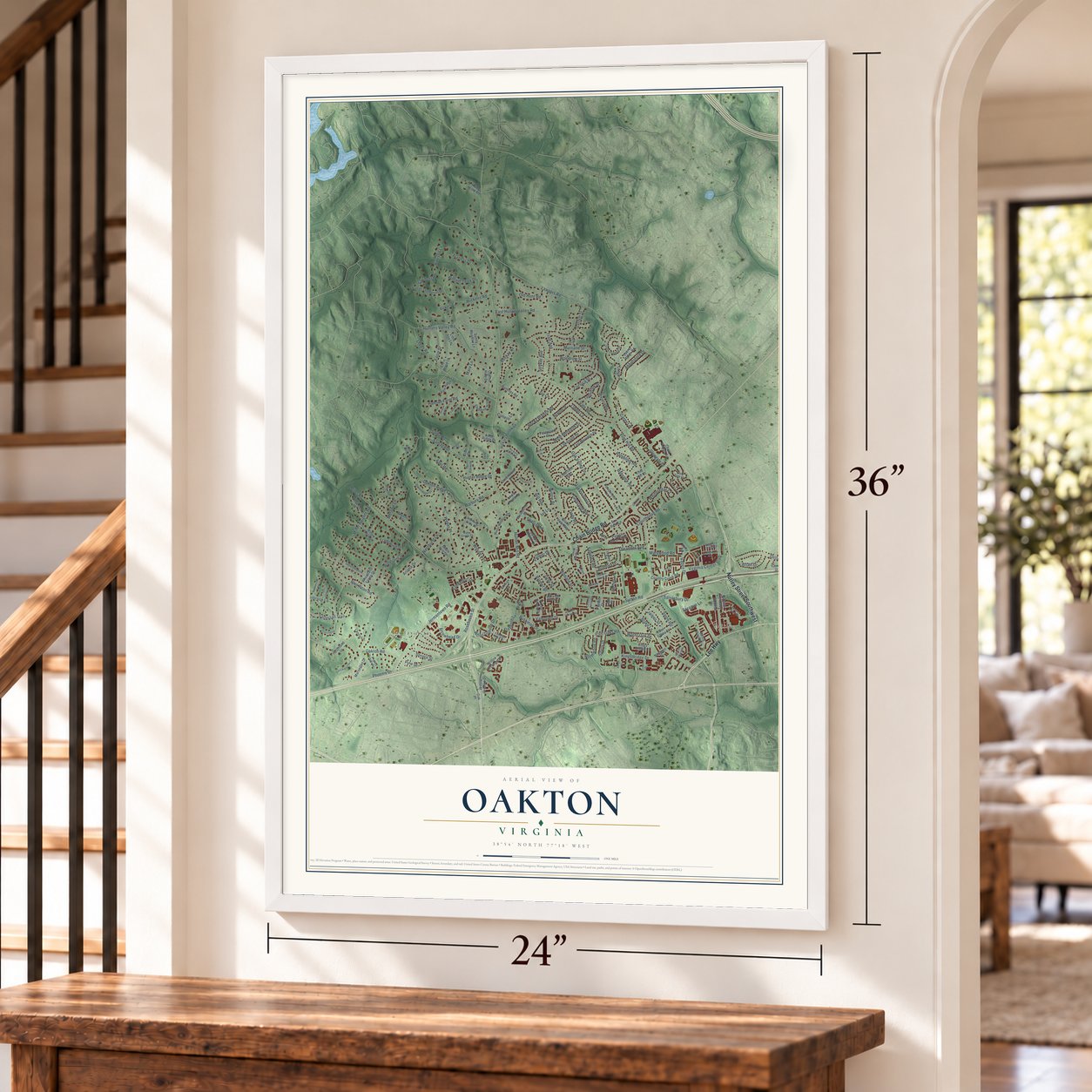
A new map of Oakton, Virginia, made in 2026 and printed to order on thick archival matte paper.
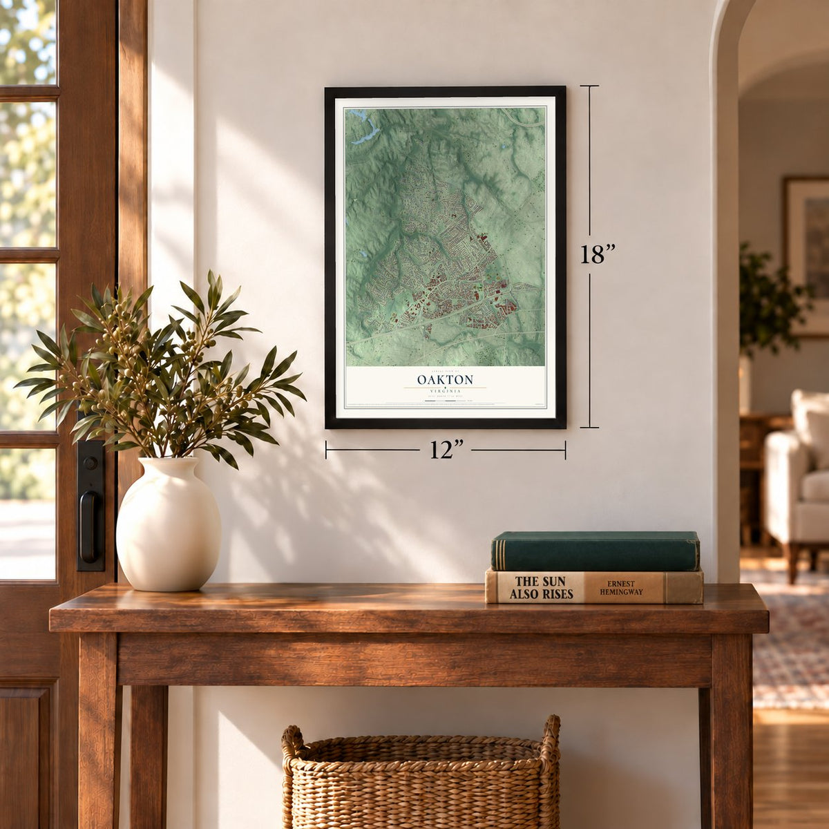
12" x 18" Archival Matte Print
A Map of Home. A Work of Art.
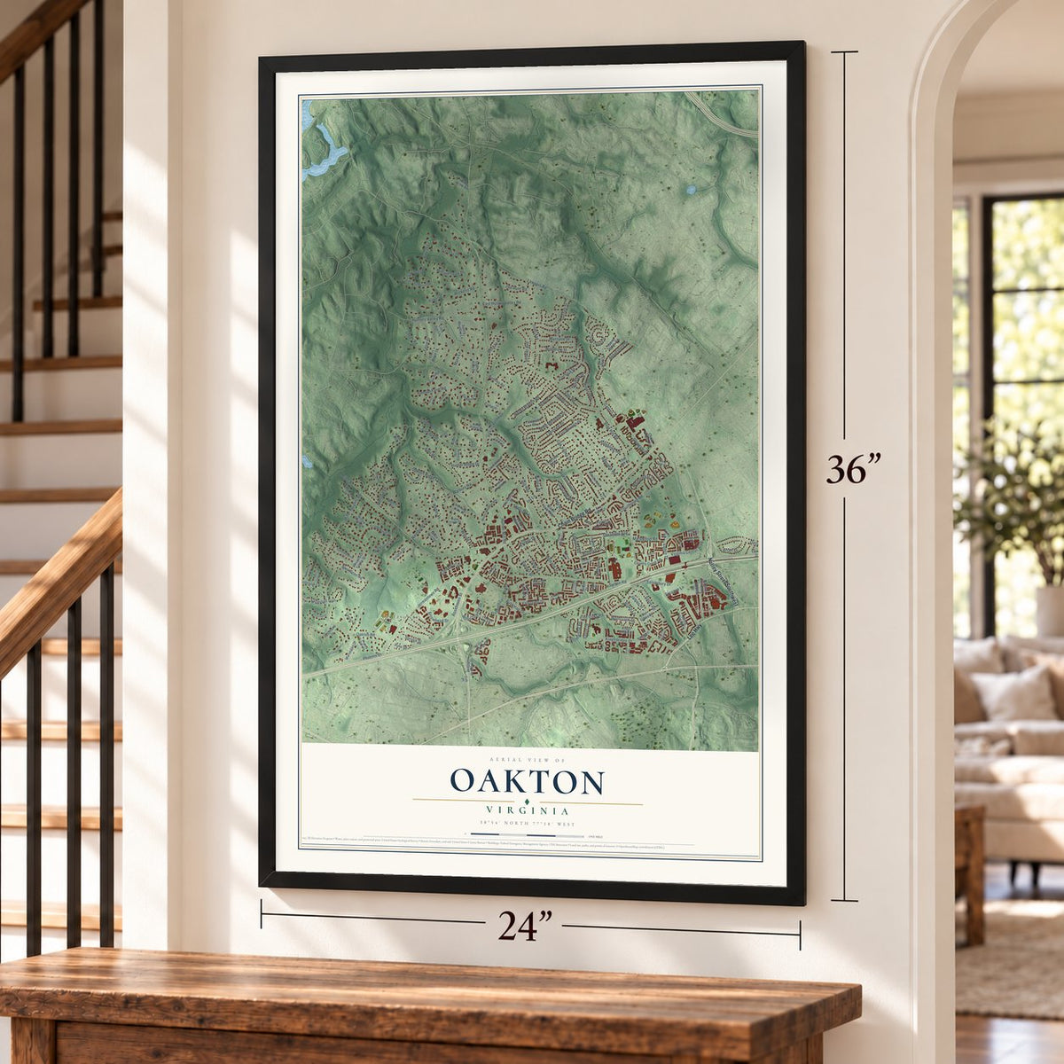
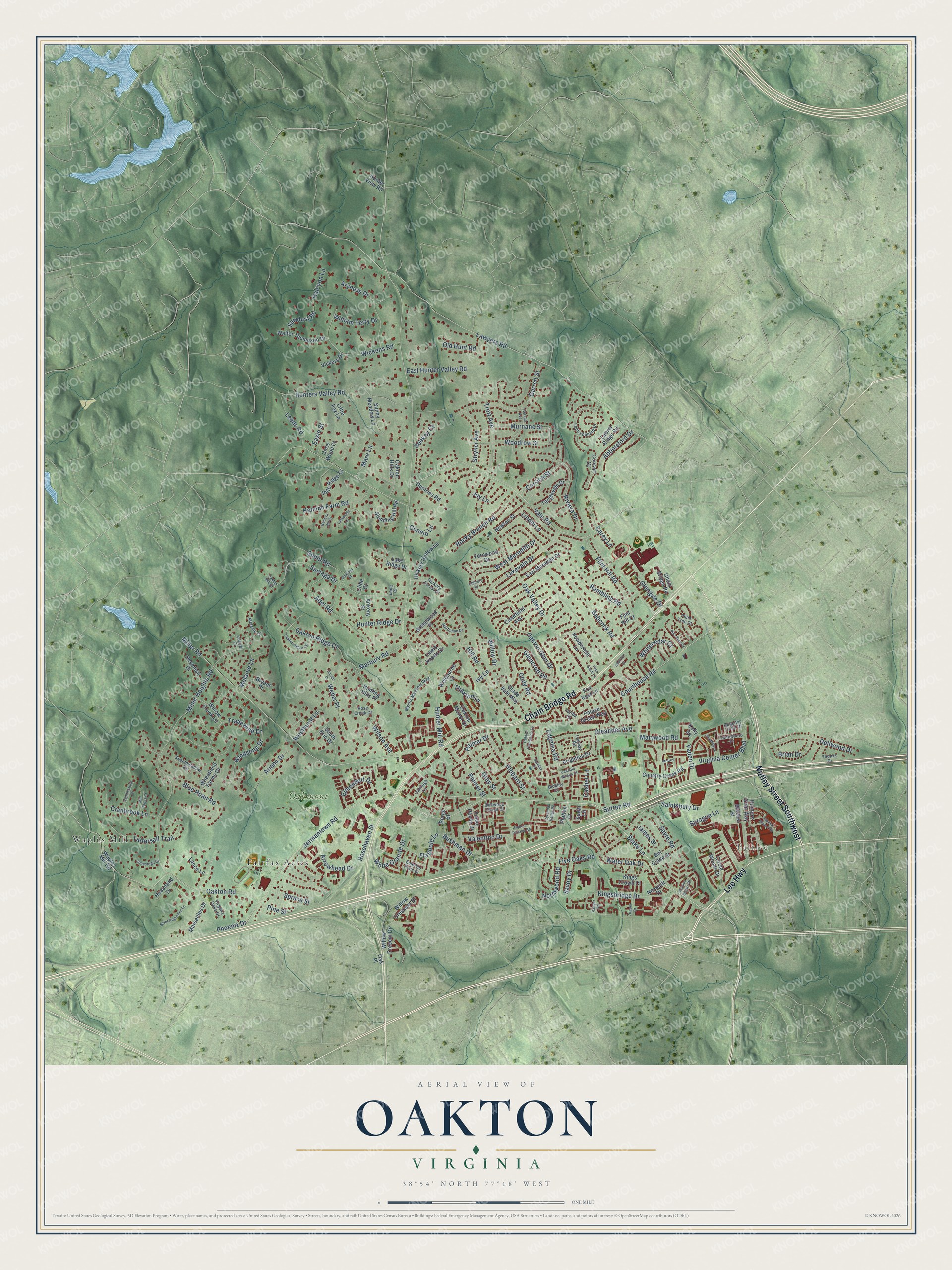
Explore Oakton, Virginia from a whole new perspective. Created using aerial imagery and detailed geographic data, this map captures Oakton building by building, with labeled streets, familiar landmarks, and shaded topographical relief that highlights the natural contours of the landscape.
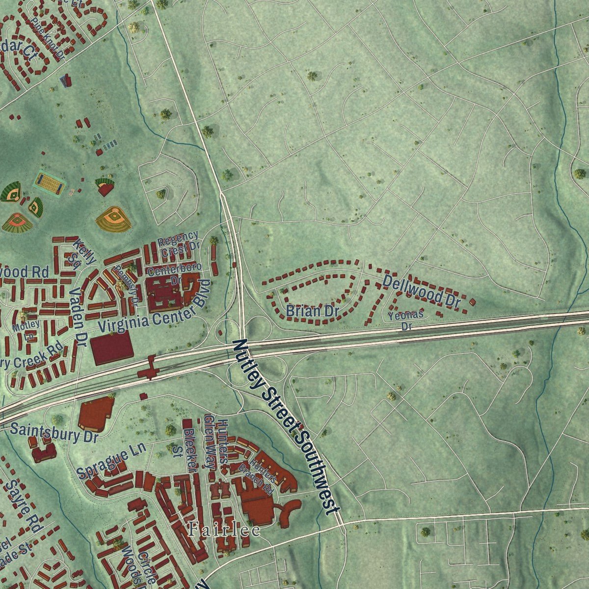
Combining modern data with the timeless character of a vintage atlas, this map is just as interesting up close as it is beautiful on the wall. Whether you grew up in Oakton, spent memorable years there, or call it home today, this unique map is a great way to celebrate a place that means something to you. Zoom in on the preview to look for your street, and then order a print to put your memories on the wall.
Three ways to hang it
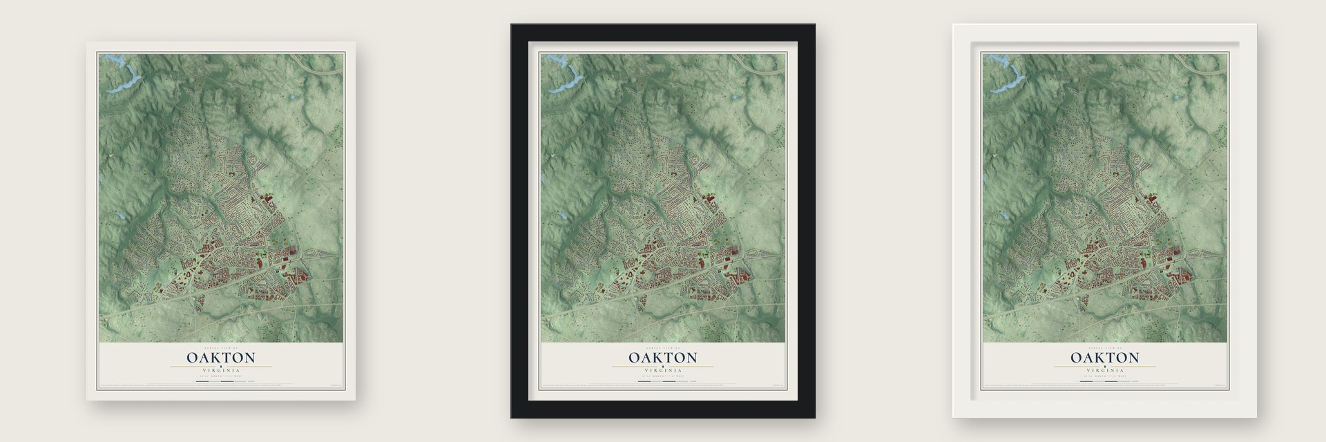
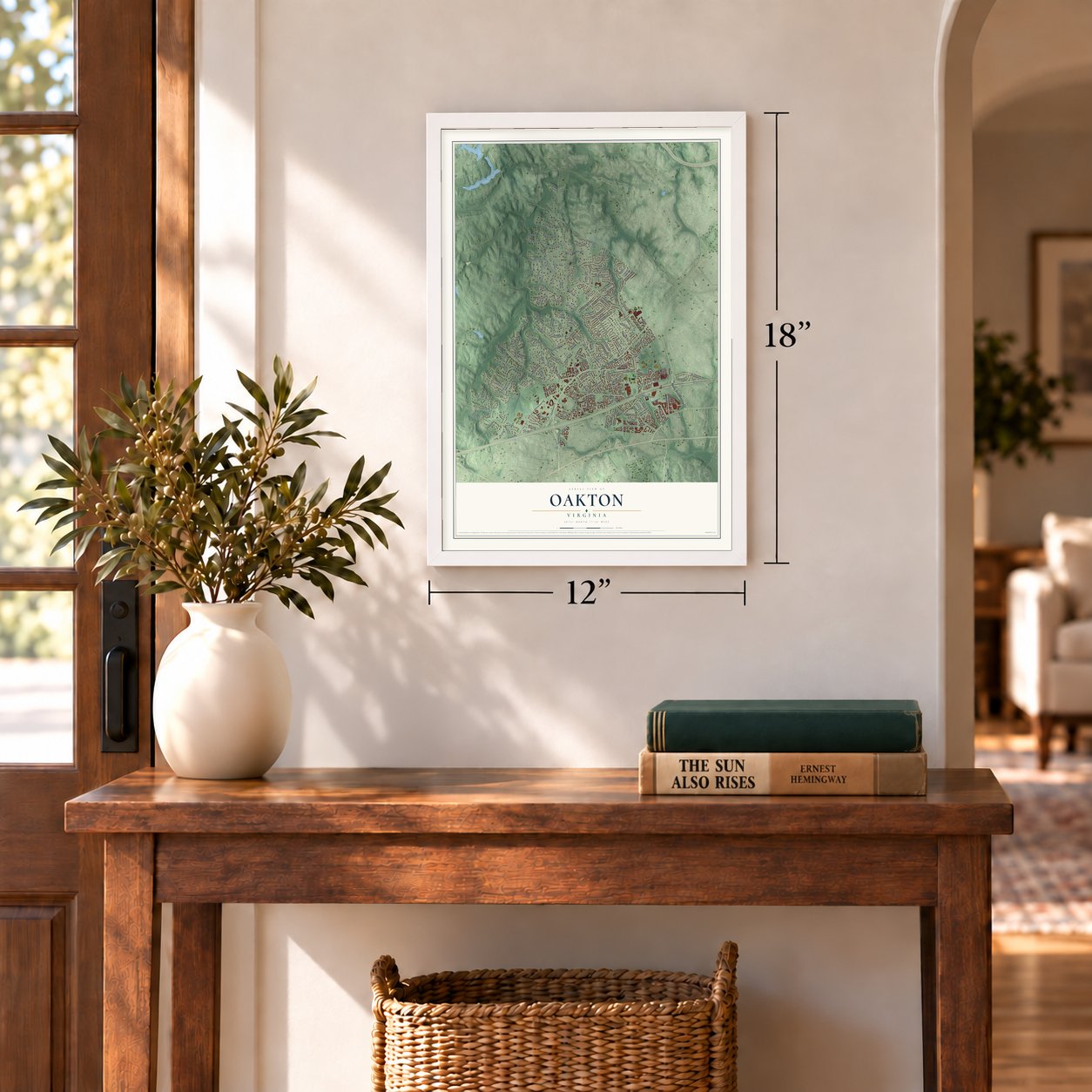
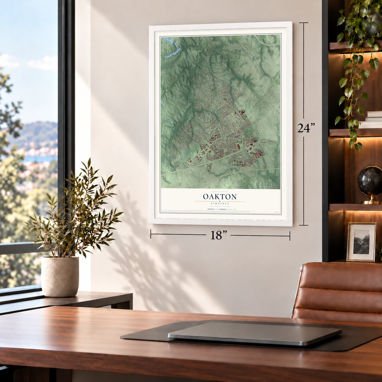
Unframed archival matte, a black wood frame or a white wood frame.
Up close
Geography Worth Displaying
This map was created using accurate cartographic data and authoritative geographic sources, including the U.S. Geological Survey and the Census Bureau. The map brings together terrain, waterways, roads, and building detail. The majority of the streets are labeled, houses are accurately depicted, and the topography is derived from government sources. Combining local data with carefully composed color and shading leads to this beautifully detailed Oakton artwork for your wall.
Rather than simply showing street outlines, we’ve included as many of the street names as we could reasonably fit on the map while keeping their names legible. Zoom in on the high resolution preview to see exactly what’s on the map. We truly set out to create a statement piece for anyone who loves Oakton. So whether it’s for you, or a gift for someone you love, we hope this map of Oakton brings back fond memories.
Read the story behind this map of Oakton, Virginia from 2026.

About Oakton, Virginia
Oakton is a community of 36,732 people in central Fairfax County, in Northern Virginia, and its center lies 16 miles west of Washington, D.C. Interstate 66 and Virginia State Route 123 cross it, with the city of Fairfax on its south side and the town of Vienna on its east. The Oakton Trolley Station, inside the community, is listed on the National Register of Historic Places.
- A founder of regional parksThe naturalist Ira Noel Gabrielson lived in Oakton. He helped start the Northern Virginia Regional Park Authority and served as its first chairman, and he also became the first president of World Wildlife Fund-US.
- A king and an ambassadorKigeli V Ndahindurwa, the former King of Rwanda, made his home in Oakton. So did Romuald Spasowski, who represented Poland in Washington in the Cold War years and defected to the U.S. in 1981.
- Captain of the USS IowaFred Moosally, an Oakton resident, was captain of the battleship USS Iowa in 1989, when an explosion tore through one of its gun turrets.
Find your street
Names on the Oakton map
Every name below is printed on this map. Look for your street, your school, the park where you played, or the pond down the road.
Places and landmarks4
- Fairlee
- Oakmont Park
- Fairfax Acres
- Waples Mill
Streets and roads203
- Nutley Street Southwest
- Lee Highway
- Chain Bridge Road
- Blake Lane
- Courthouse Road
- Saintsbury Drive
- Hunter Mill Road
- Vale Road
- Lawyers Road
- Jermantown Road
- Miller Road
- Miller Heights Road
- Oak Valley Drive
- Five Oaks Road
- Sutton Road
- Babcock Road
- Samaga Drive
- Vaden Drive
- Rosehaven Street
- Oakton Road
- Hibbard Street
- Hunters Valley Road
- Marbury Road
- Bushman Drive
- Glengyle Drive
- Hill Road
- Garrett Street
- Dellwood Drive
- Oakton Glen Drive
- Wickens Road
Show all 203 streets
- Kingsbridge Drive
- Riviera Drive
- Flint Hill Road
- Lakevale Drive
- White Granite Drive
- Adel Road
- Woodrow Street
- Oakton Ridge Court
- Blue Roan Road
- Glencroft Road
- Stryker Avenue
- Aryness Drive
- Ariana Drive
- Virginia Center Boulevard
- Tattersall Trail
- Oleander Avenue
- Trott Avenue
- Windsong Drive
- Rocky Branch Road
- West Meredith Drive
- Rambling Road
- Edgelea Road
- Hannah Farm Road
- Water Oak Drive
- Corsica Street
- Tradewind Drive
- Melanie Lane
- Spruce Street
- Sunlit Road
- Phoenix Drive
- Elmendorf Drive
- Cranbrook Lane
- East Hunter Valley Road
- Westhurst Lane
- Leeds Road
- Lindel Lane
- Pine Street
- Brian Drive
- Flagpole Lane
- Arrowhead Drive
- Gray Street
- Murnane Street
- Abbotsford Drive
- Weber Place
- Hunter Ridge Drive
- Palmer Street
- Valentino Drive
- Sawdust Road
- Sayre Road
- Thaxton Lane
- Sprague Lane
- William Terry Drive
- Northwood Road
- Savoy Drive
- Carey Lane
- Willow Drive
- Whitecedar Court
- Cashel Lane
- Palmer Drive
- Marywood Road
- Old Hunt Road
- Ivy Lane
- Mare Lane
- Wilson Avenue
- Cody Road
- Conejo Lane
- Halcyon Lane
- Joy Lane
- Beekay Court
- Easie Street
- James Street
- Trevor House Drive
- East Meredith Drive
- Willow Crescent Drive
- Palace Green Way
- Hunters Glen Way
- Country Creek Road
- Clearfield Avenue
- Borge Street
- Brightlea Drive
- Walter Thompson Drive
- Circle Woods Drive
- Oakton Hills Drive
- Wheatland Farms Drive
- Waples Mill Road
- Tanglevale Drive
- Marseilles Drive
- Willow Cresent Drive
- Hickory Hollow Lane
- Newton Street
- Sledding Hill Road
- Kings Crown Court
- South Erin Drive
- Sunny Meadow Lane
- Platten Drive
- Devenish Drive
- Vale Ridge Court
- Sugar Lane
- Kelly Square
- Bel Glade Street
- Glade Vale Way
- Oakton Manor Court
- Greenwood Place
- Lake Ridge Drive
- Willow Creek Lane
- Dunfries Road
- Fernwood Drive
- Heathland Drive
- Powdermill Lane
- Laurel Ridge Road
- Hunter View Road
- Hunting Hills Place
- Ankeny Street
- Fox Rest Lane
- Welbourne Court
- Little Fox Lane
- Lewis Knolls Drive
- Bryant Place
- Vickers Drive
- Nonquitt Drive
- Lance Lane
- Bleeker Street
- Chris Wood Court
- Concert Court
- Clide Court
- Flint Hill Court
- Oak Place
- Loch Lomond Drive
- Rose Creek Court
- Yeonas Drive
- Mystic Meadow Way
- Centerboro Drive
- Sweetmeadow Drive
- Hickory Forest Drive
- Emerald Rock Drive
- Melanie Court
- Virginia Oaks Drive
- Oakleigh Lane
- Kilkeel Court
- Logway Road
- Oakwood Chase Court
- Fariba Court
- Regency Crest Drive
- Bickley Court
- Plum Tree Court
- Lena Court
- Ranger Road
- Saint Augustine Lane
- Hunters Branch Road
- Mission Square Drive
- Oakton Ridge Circle
- Chariton Street
- Gerken Avenue
- Oakdale Woods Court
- Oakton Terrace Road
- Oakton Plantation Lane
- Martinhoe Drive
- Saddlestone Court
- Cyrandall Valley Road
- Lasswade Lane
- Conestoga Court
- Pine Knot Drive
- Pembsly Drive
- Geneva Hill Court
- Mill Cross Court
- Draper Drive
- Cheriton Court
- Chilcott Court
- Darnley Place
- Dorian Drive
- Oakton Mill Drive
- Pipe Stem Lane
- Motley Lane
Names are listed as they appear on the printed map. Zoom into the product photos to find them.
The art of mapping a place
How This Map Was Made
Real places. Remarkable detail. Discover the layers that turn geographic data into a map of home.

The view from above
Aerial imagery reveals the character of the land: woodland, open fields, and the patterns of a place.

The shape of the land
Elevation data brings hills, valleys, and subtle changes in the landscape into view.

The details of home
Roads, waterways, and building footprints come together to make the map feel unmistakably local.

Geography becomes art
Considered color, shading, and typography bring the layers together in a map made for your wall.


Process illustrated with Mendon, Massachusetts. Aerial imagery: USDA NAIP. Terrain: USGS 3D Elevation Program. Map details and finished artwork: KNOWOL.
The Details
About This Print
Choose an archival matte print, or a black or white Ayous wood frame. The archival matte print is unframed.
Select your size and finish above to see the matching product image and price.
Materials & Craftsmanship
A contemporary map with the character of a classic atlas, printed on archival matte paper. Optional frames are made from Ayous wood.
Your printed map does not include the watermark shown in the full-map preview.
Shipping & Delivery
Free shipping within the United States. Every print is made to order in the USA.
Buying a gift? Add a note in your cart and we'll include it. We never put prices in the package.
Prints ship within 2 to 3 business days. Allow 7 to 10 days total from ordering for delivery. Timing may vary during holidays or periods of high order volume.
Read our shipping policy.
Returns and damaged prints
Each print is made to order. Change-of-mind refunds are not available after production.
If your print arrives damaged, misprinted or incorrect, contact support@knowol.com within 30 days of receiving it. Include your order number, photos and a description of the issue.
Read our full refund and replacement policy. For questions about your order, email support@knowol.com.
Find your town
Looking for another city?
Find a map of home in our Virginia collection, or any town in the country.
Nearby
Maps of towns near Oakton
Know someone from one of these towns? Their map makes a great gift.
 Vienna
, Virginia
From $39.99See the map
 Difficult Run
, Virginia
From $39.99See the map
 Fairfax
, Virginia
From $39.99See the map
More maps nearby: Merrifield, Wolf Trap, Dunn Loring, Mantua and Fair Oaks.