
Search for another town

Free U.S. delivery 7 to 10 days after you order
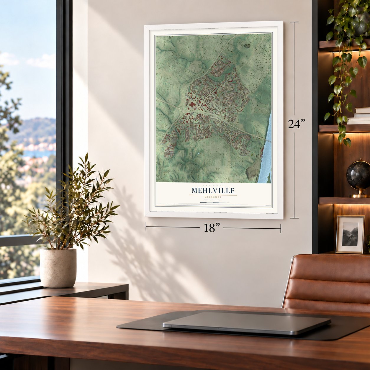
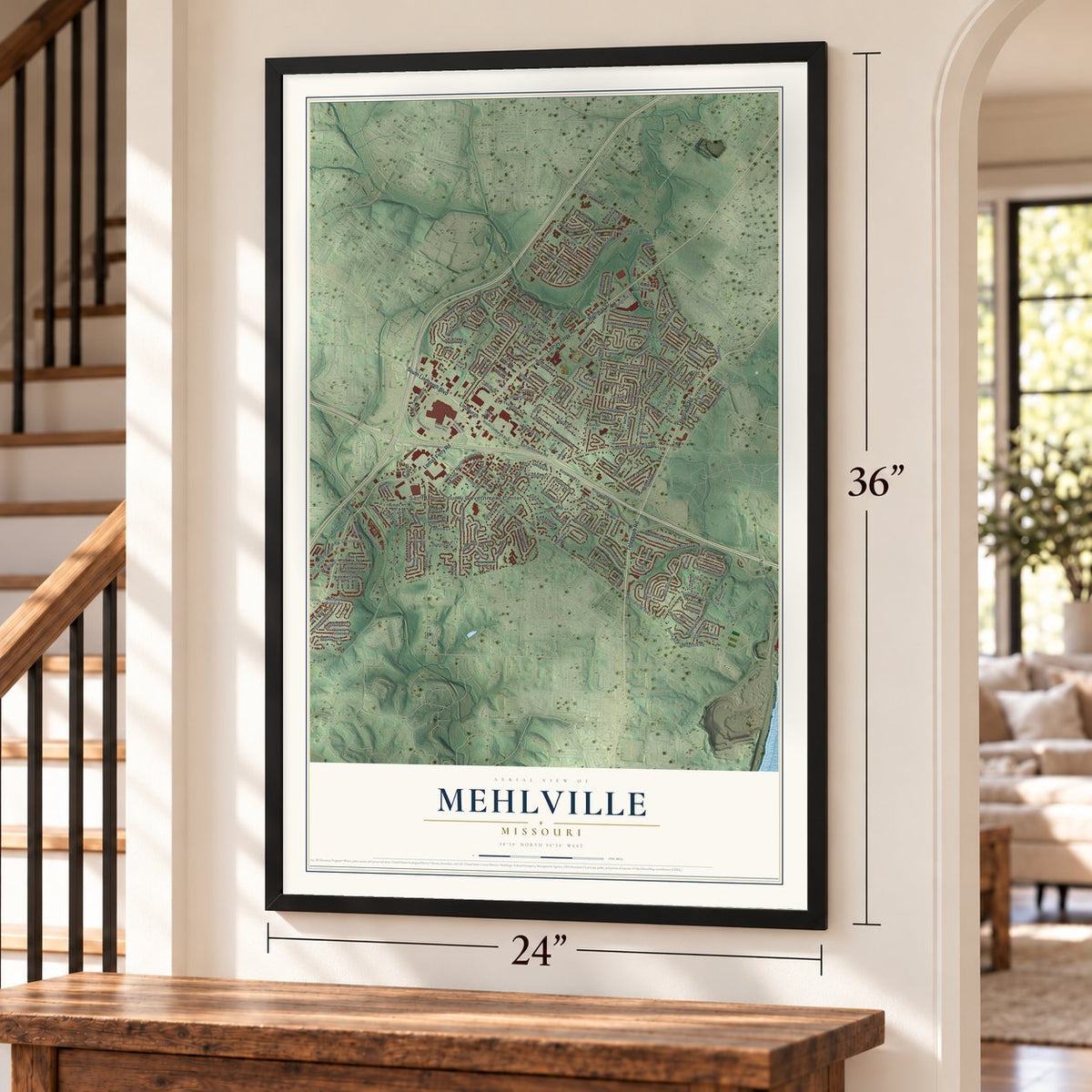
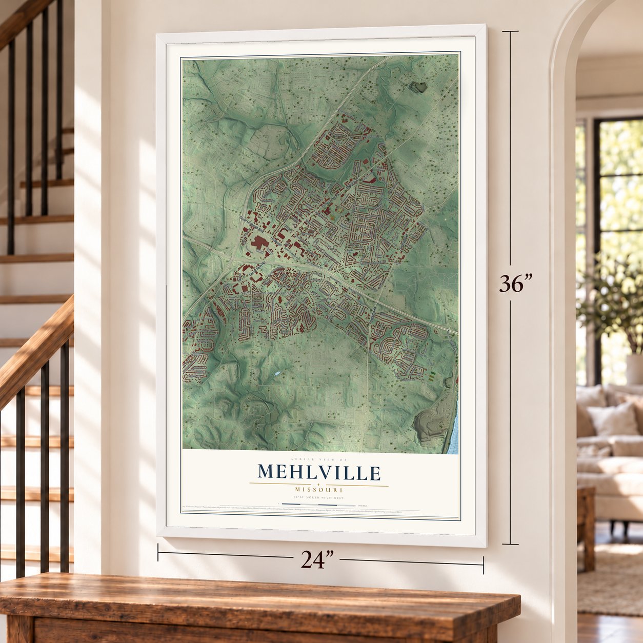
Mehlville, Missouri Map Art
Building by building, with labeled streets and shaded relief.
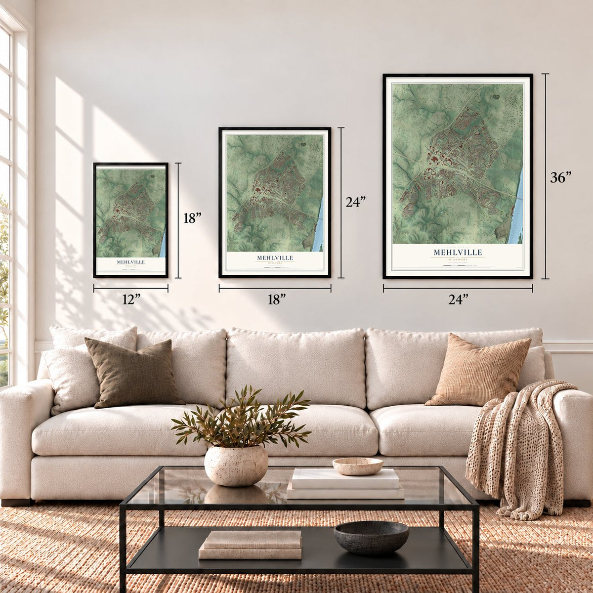
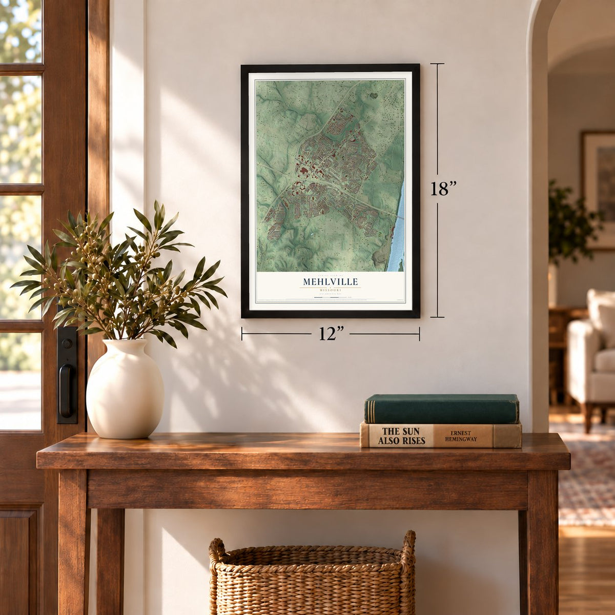
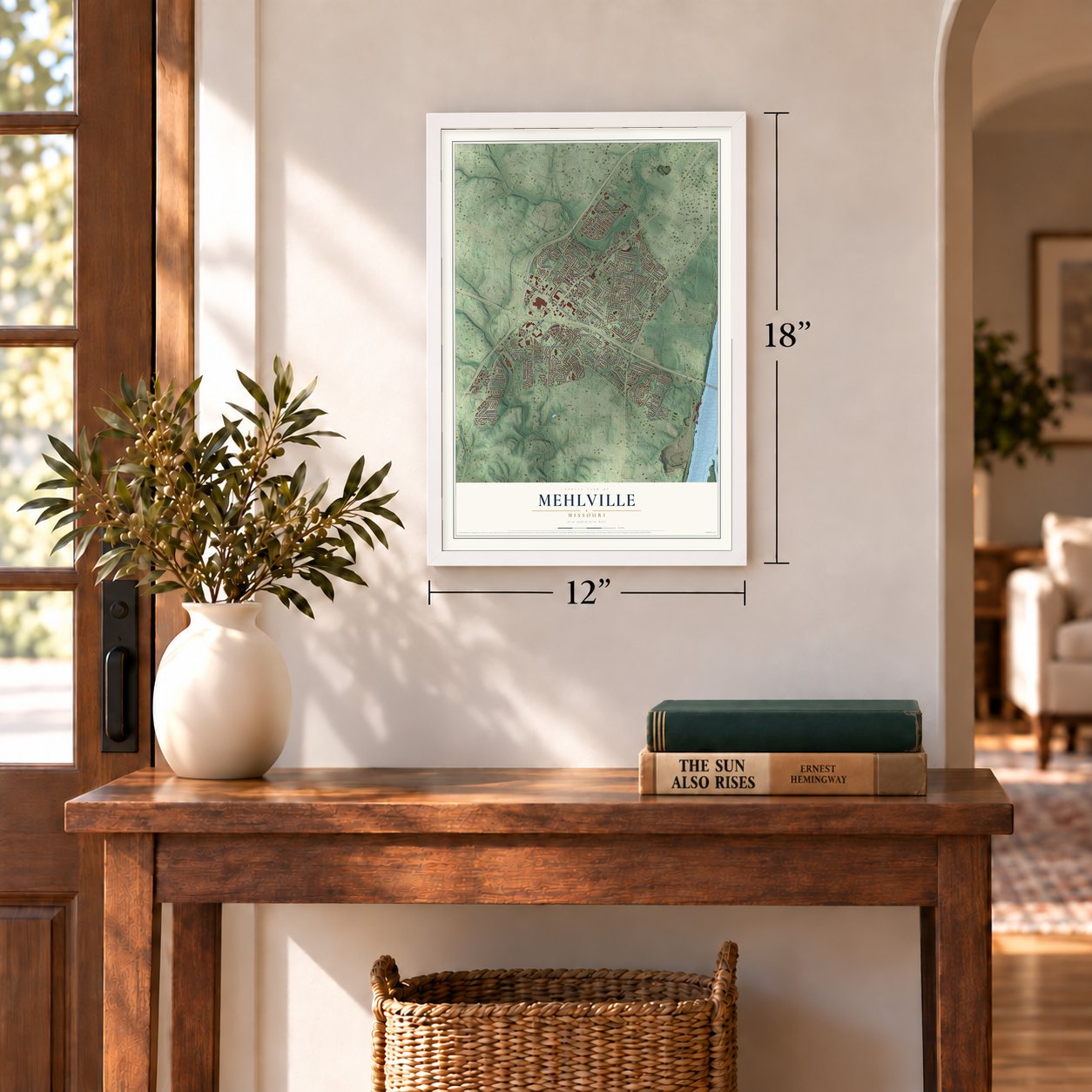
12" x 18" Archival Matte Print
A Map of Home. A Work of Art.
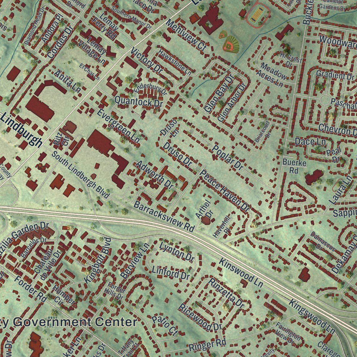
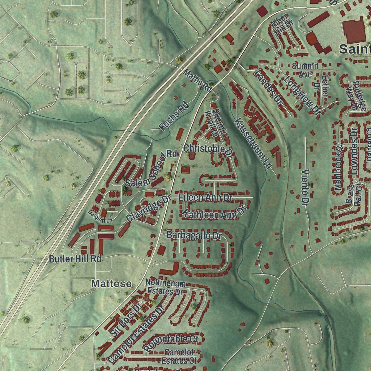
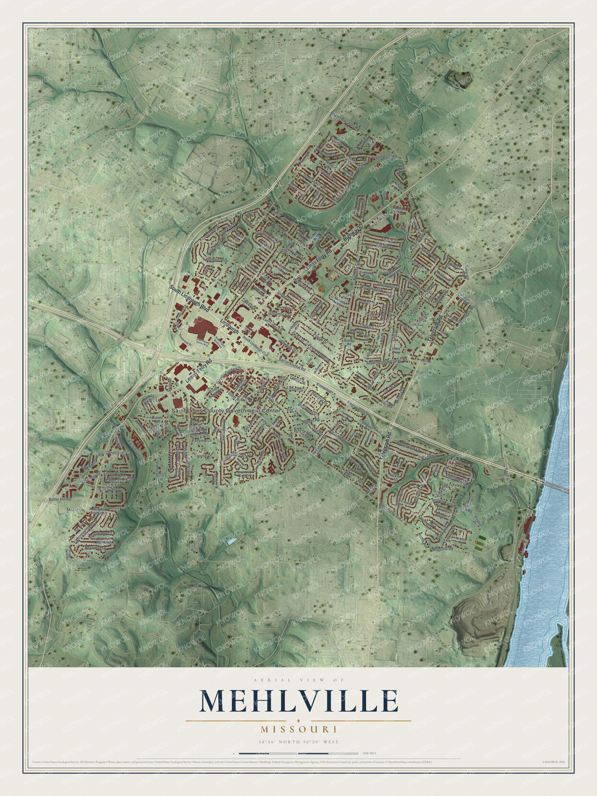
Explore Mehlville, Missouri from a whole new perspective. Created using aerial imagery and detailed geographic data, this map captures Mehlville building by building, with labeled streets, familiar landmarks, and shaded topographical relief that highlights the natural contours of the landscape.
Combining modern data with the timeless character of a vintage atlas, this map is just as interesting up close as it is beautiful on the wall. Whether you grew up in Mehlville, spent memorable years there, or call it home today, this unique map is a great way to celebrate a place that means something to you. Zoom in on the preview to look for your street, and then order a print to put your memories on the wall.
Three ways to hang it
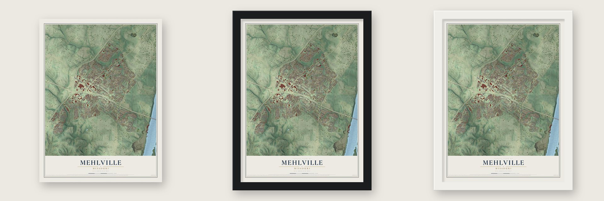
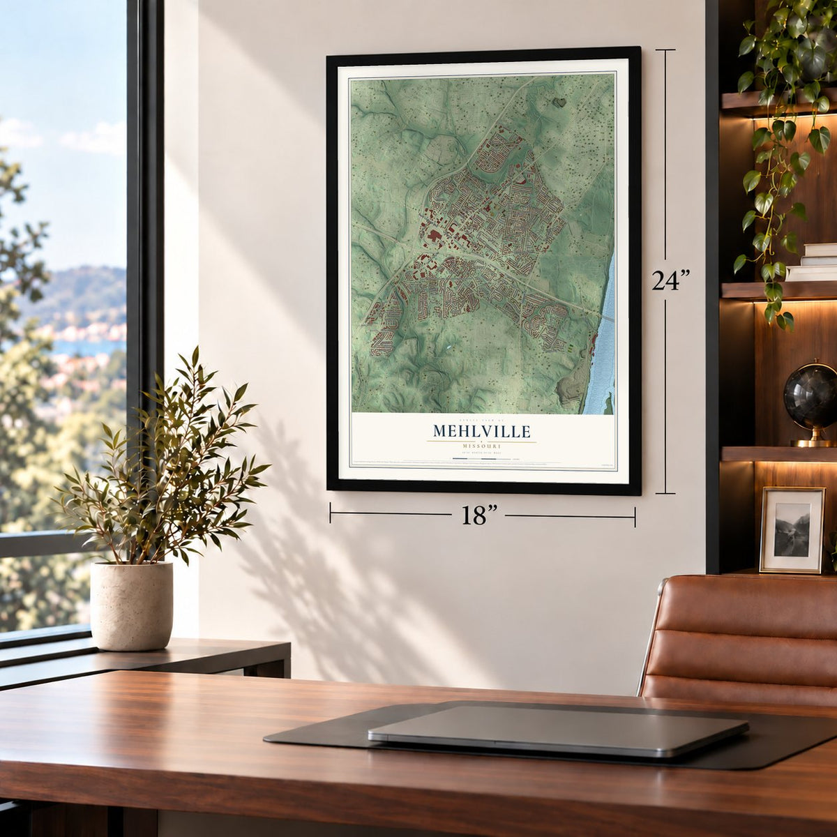
Unframed archival matte, a black wood frame or a white wood frame.
Up close
Geography Worth Displaying
This map was created using accurate cartographic data and authoritative geographic sources, including the U.S. Geological Survey and the Census Bureau. The map brings together terrain, waterways, roads, and building detail. The majority of the streets are labeled, houses are accurately depicted, and the topography is derived from government sources. Combining local data with carefully composed color and shading leads to this beautifully detailed Mehlville artwork for your wall.
Rather than simply showing street outlines, we’ve included as many of the street names as we could reasonably fit on the map while keeping their names legible. Zoom in on the high resolution preview to see exactly what’s on the map. We truly set out to create a statement piece for anyone who loves Mehlville. So whether it’s for you, or a gift for someone you love, we hope this map of Mehlville brings back fond memories.
Read the story behind this map of Mehlville, Missouri from 2026.
Find your street
Names on the Mehlville map
Every name below is printed on this map. Look for your street, your school, the park where you played, or the pond down the road.
Places and landmarks2
- Saint Louis County Government Center
- Mattese
Streets and roads252
- Telegraph Road
- Lemay Ferry Road
- Highway 67
- Lindburgh
- South Lindbergh Boulevard
- Forder Road
- Magoffin Road
- West Pottle Avenue
- Pottle Avenue
- Koch Road
- Salem School Road
- Boundary Road
- Marseille Drive
- Granda Drive
- Hilvin Drive
- Ringer Road
- Kinswood Lane
- Kingswood Lane
- Union Road
- Buckley Road
- Reavis Barracks Road
- Robert Koch Hospital Road
- Barracksview Road
- Victory Drive
- Green Park Road
- Golden Valley Drive
- Sappington Barracks Road
- Berview Lane
- Mehl Avenue
- Bluff Road
Show all 252 streets
- Forest Dale Drive
- Sedan Drive
- Jeffersonian Drive
- Cordes Drive
- Aqua Ridge Drive
- Butler Hill Road
- Clager Drive
- Clager Road
- Will Avenue
- Clayridge Drive
- Rainbow Drive
- Peace Haven Drive
- Candleglow Drive
- Southridge Park Drive
- Forder Crossing Drive
- Via Miralesta Drive
- Lowndes Drive
- Bordeaux Drive
- Longview Drive
- Chevron Drive
- Poplar Drive
- Kassebaum Lane
- Mangrove Lane
- Lind Road
- Viento Drive
- Claypool Drive
- Sunrise Way Drive
- Martigney Drive
- Camelot Estates Drive
- Oakwood Lane
- Bridgeview Lane
- Adworth Drive
- Southshire Drive
- Cliff Drive
- Bellewood Drive
- Christoble Drive
- Laura Lane
- Regalway Drive
- Caspian Lane
- Ivygate Drive
- Fuchs Road
- Lin Tel Road
- Kingbolt Boulevard
- Milissa Lane
- Fain Drive
- Darding Drive
- Woodward Drive
- Fairwick Drive
- Rinzetta Drive
- Barbagallo Drive
- Kathleen Ann Drive
- East Donaldson Drive
- Eileen Ann Drive
- Sir Bors Drive
- Oledel Lane
- Landes Drive
- Crosswood Drive
- Ricewood Drive
- Coachella Drive
- Evergreen Lane
- Brazilia Garden Drive
- Lone Elm Drive
- Druso Drive
- Jonathan Court
- Quantock Drive
- Swiss Drive
- Hubert Drive
- Sweet Gum Drive
- Freeman Drive
- Ellwine Drive
- Rosegarden Drive
- Pecan Drive
- Lynton Drive
- Banister Drive
- Dillon Drive
- Roundtable Court
- Dekamay Drive
- Burbeck Drive
- Dace Lane
- Decker Lane
- Patio Court
- Sunrise Lane
- Snelson Drive
- Timm Drive
- Calley Drive
- Fairview Lane
- Glen Bay Drive
- Mehlview Court
- Lan Drive
- Suntide Drive
- Ringford Drive
- Linford Drive
- Anita Lane
- Kym Drive
- Malus Drive
- Toulon Drive
- Calef Drive
- Dolph Court
- Paschal Drive
- Summit Knoll Drive
- Martyridge Drive
- Idecker Drive
- Nottingham Estates Drive
- Southern Aire Drive
- Chateau de Ville Drive
- Wintergreen Lane
- Woodbury Drive
- Camino Drive
- Mehlbrook Drive
- Brilliant Lane
- Camelot Estates Court
- Druso Lane
- Summit Avenue
- Colonia Place Drive
- Linnview Drive
- Forder Oaks Drive
- Meadow Acres Lane
- Northern Aire Drive
- Peal Drive
- Rodapa Drive
- Crescent Drive
- Estes Parkway
- Mel Nor Lane
- Monte Vista Drive
- Berghill Drive
- Park Hill Court
- Creekwood Manor Court
- Melon Drive
- Gradient Drive
- Hollyshire Drive
- Glen Arbor Drive
- Garden Circle Drive
- Lemay Village Lane
- Roxbury Drive
- Three Acres Drive
- Andora Place
- Malone Drive
- Alber Hill Drive
- Pegasus Drive
- Sunridge Drive
- Claregood Lane
- Woodridge Center Parkway
- Brass Rail Court
- Bramble Berry Drive
- Carousel Drive
- Rouen Drive
- Forder Heights Drive
- Barth Drive
- Daltrey Court
- Bellsworth Court
- Esther Drive
- Behnke Court
- Arthel Drive
- Mattis Road
- Henzler Drive
- Ritz Ctr
- Navajo Drive
- Rutledge Way Drive
- Humber Circle
- Happy Lane
- Redland Drive
- Apple Bud Lane
- Pasco Drive
- Buerke Road
- Opal Court
- Lois Lane
- Jefferson Barracks Drive
- Annunciation Drive
- Centerway Drive
- Hawkstone Lane
- Forder Oaks Court
- Franru Lane
- Karington Place Drive
- Enderbury Drive
- Forder Hills Drive
- Garvey Drive
- Barcelos Drive
- Edwards Road
- Lisieux Lane
- Damascus Drive
- Sunerest Drive
- Box Drive
- Ringer Bend Road
- Chinon Drive
- Gapsch Lane
- Hickory Hill Drive
- Ancell Lane
- Schlogl Drive
- Idecker Ridge
- Fairington View Drive
- Mitchford Drive
- Haverhill Place
- Sheridan Road
- Hi Crest Drive
- Saddle Back Court
- Tiffany Trail Court
- Forder Court
- Flame Court
- Shores Drive
- Amend Drive
- South County Center Way
- South County Centerway
- Jeffersonian Lane
- Hawson Drive
- Bertrand Drive
- Lampong Drive
- Arras Drive
- Sunrise Heights Drive
- Southern Manor Drive
- Sedan Park Court
- Diamond Head Drive
- Camelot Gardens Drive
- Brevity Drive
- Wembley Drive
- Chanute Drive
- Daiquiri Lane
- Sylvia Drive
- Colonial Woods Drive
- El Char Lane
- Reav Tel Court
- Briarcourt Drive
- Lourdes Drive
Names are listed as they appear on the printed map. Zoom into the product photos to find them.
Keep exploring Missouri
Mehlville is one of 1,207 Missouri towns we've mapped. Every dot on the map is a print of its own.
The search covers every state, Missouri first.
Near Mehlville
Order 2 or more town maps and save 10%. Shown in the size and finish you picked above, so they hang as a set.
- Green Park 12" x 18" / Archival Matte Print $39.99
- Concord 12" x 18" / Archival Matte Print $39.99
- St. George 12" x 18" / Archival Matte Print $39.99
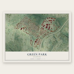
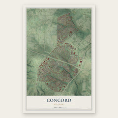
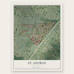
More maps nearby: Lemay, Lakeshire, Bella Villa, Affton and Wilbur Park.
The art of mapping a place
How This Map Was Made
Real places. Remarkable detail. Discover the layers that turn geographic data into a map of home.

The view from above
Aerial imagery reveals the character of the land: woodland, open fields, and the patterns of a place.

The shape of the land
Elevation data brings hills, valleys, and subtle changes in the landscape into view.

The details of home
Roads, waterways, and building footprints come together to make the map feel unmistakably local.

Geography becomes art
Considered color, shading, and typography bring the layers together in a map made for your wall.


Process illustrated with Mendon, Massachusetts. Aerial imagery: USDA NAIP. Terrain: USGS 3D Elevation Program. Map details and finished artwork: KNOWOL.
The Details
About This Print
Choose an archival matte print, or a black or white Ayous wood frame. The archival matte print is unframed.
Select your size and finish above to see the matching product image and price.
Materials & Craftsmanship
A contemporary map with the character of a classic atlas, printed on archival matte paper. Optional frames are made from Ayous wood.
Your printed map does not include the watermark shown in the full-map preview.
Shipping & Delivery
Free shipping within the United States. Every print is made to order in the USA.
Buying a gift? Add a note in your cart and we'll include it. We never put prices in the package.
Prints ship within 2 to 3 business days. Allow 7 to 10 days total from ordering for delivery. Timing may vary during holidays or periods of high order volume.
Read our shipping policy.
Returns and damaged prints
Each print is made to order. Change-of-mind refunds are not available after production.
If your print arrives damaged, misprinted or incorrect, contact support@knowol.com within 30 days of receiving it. Include your order number, photos and a description of the issue.
Read our full refund and replacement policy. For questions about your order, email support@knowol.com.