
Search for another town




Free U.S. delivery 7 to 10 days after you order
Montague, Massachusetts Map Art
Building by building, with labeled streets and shaded relief.
12" x 18" Archival Matte Print
A Map of Home. A Work of Art.
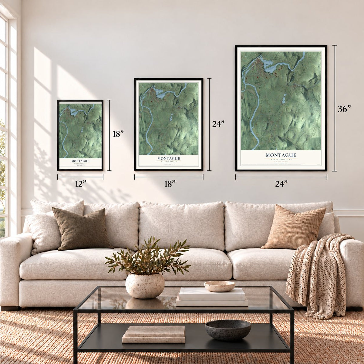
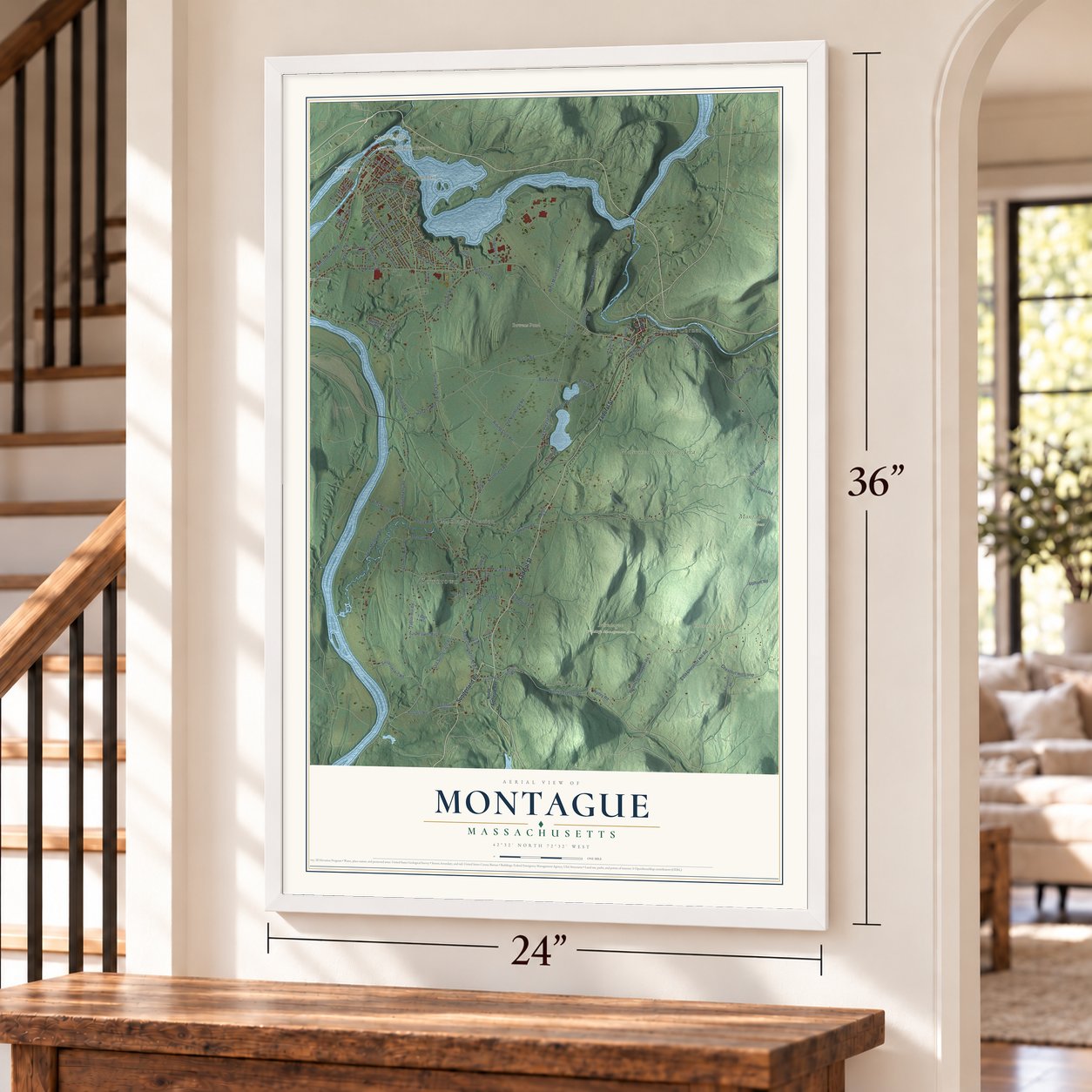
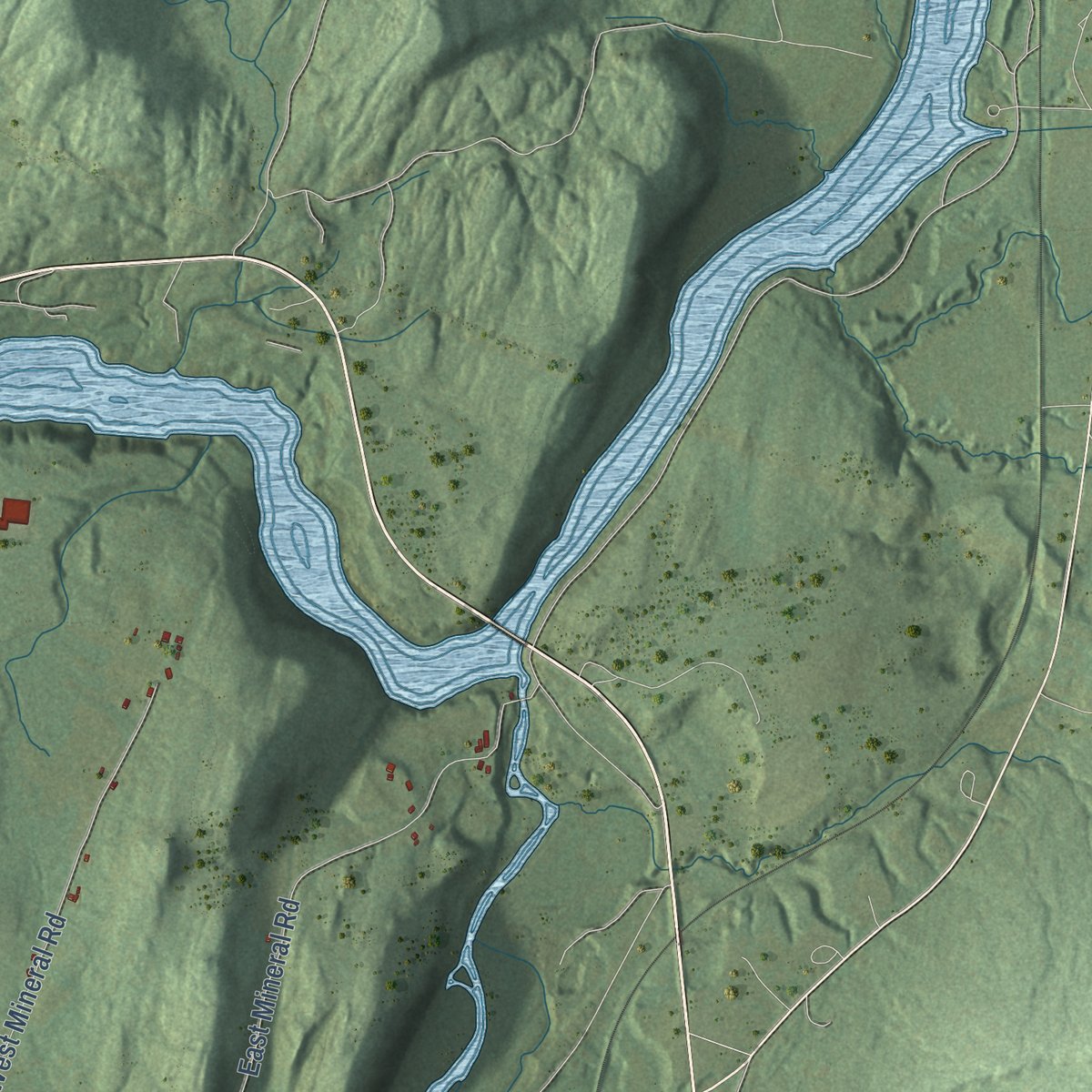
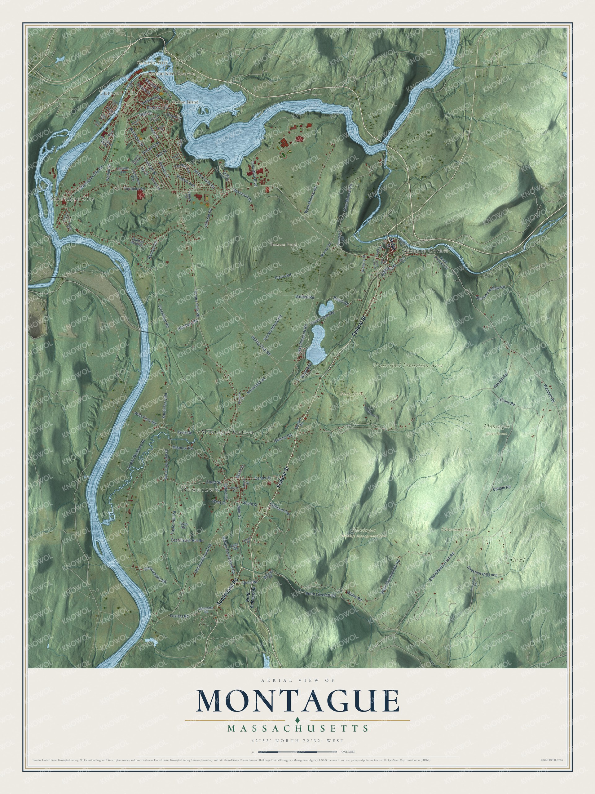
Explore Montague, Massachusetts from a whole new perspective. Created using aerial imagery and detailed geographic data, this map captures Montague building by building, with labeled streets, familiar landmarks, and shaded topographical relief that highlights the natural contours of the landscape.
Combining modern data with the timeless character of a vintage atlas, this map is just as interesting up close as it is beautiful on the wall. Whether you grew up in Montague, spent memorable years there, or call it home today, this unique map is a great way to celebrate a place that means something to you. Zoom in on the preview to look for your street, and then order a print to put your memories on the wall.
Three ways to hang it
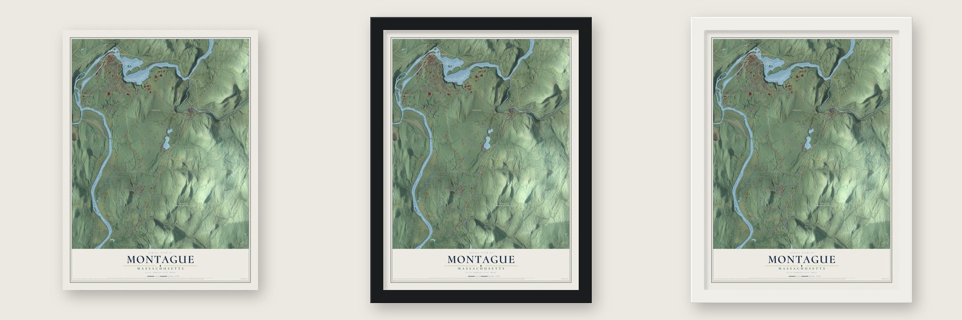
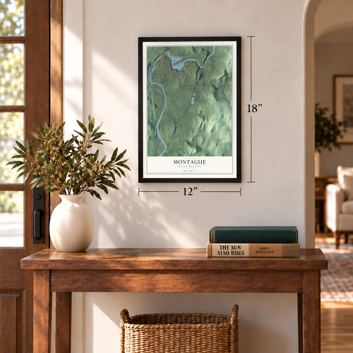
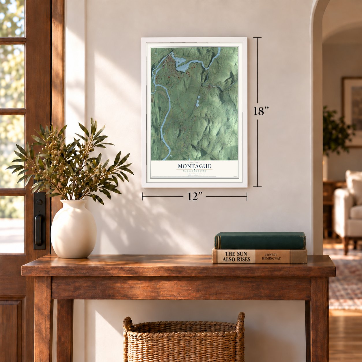
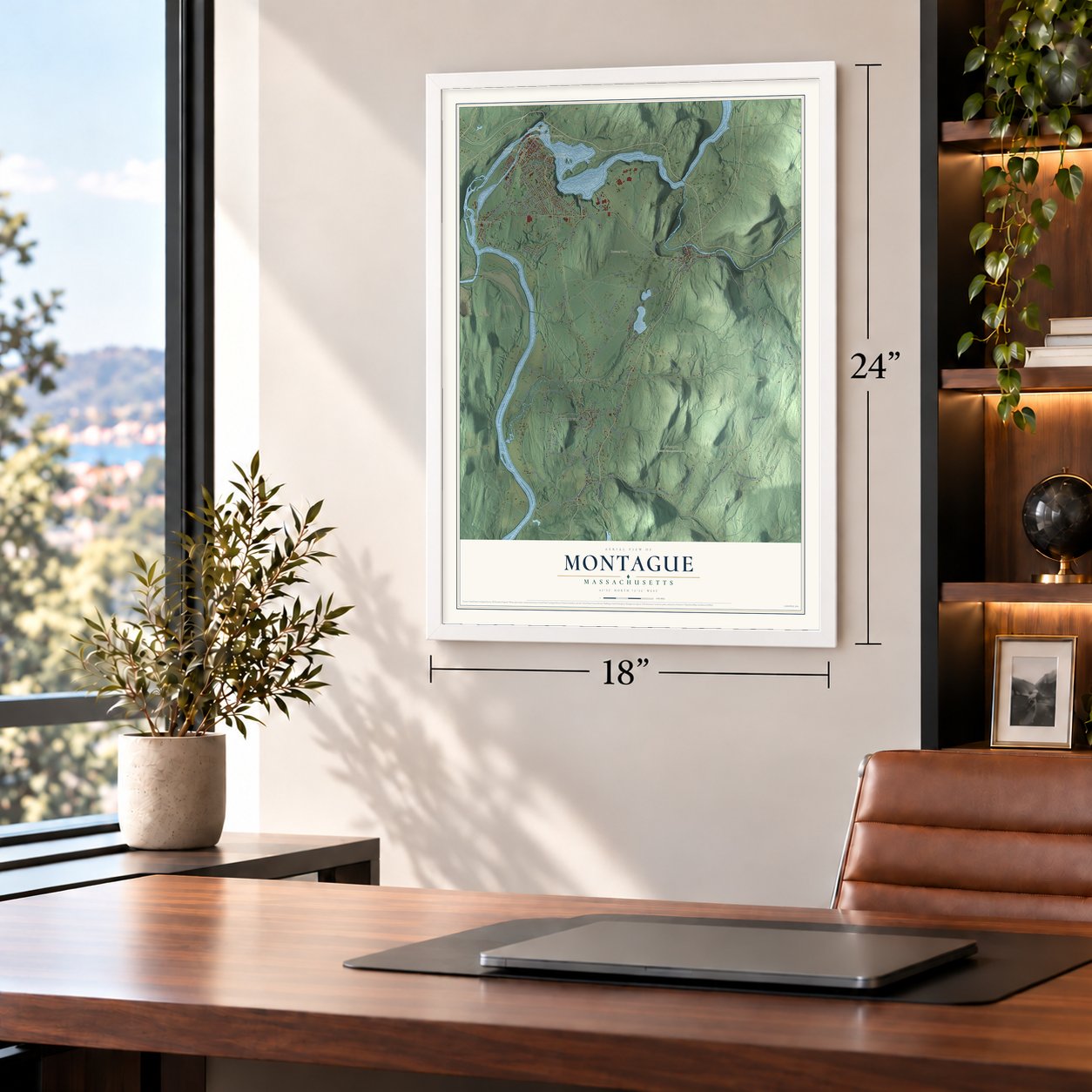
Unframed archival matte, a black wood frame or a white wood frame.
Up close
Geography Worth Displaying
This map was created using accurate cartographic data and authoritative geographic sources, including the U.S. Geological Survey (USGS) and FEMA. The map brings together terrain, waterways, roads, and building detail. The majority of the streets are labeled, houses are accurately depicted, and the topography is derived from government sources. Combining local data with carefully composed color and shading leads to this beautifully detailed Montague artwork for your wall.
Rather than simply showing street outlines, we’ve included as many of the street names as we could reasonably fit on the map while keeping their names legible. Zoom in on the high resolution preview to see exactly what’s on the map. We truly set out to create a statement piece for anyone who loves Montague. So whether it’s for you, or a gift for someone you love, we hope this map of Montague brings back fond memories.
Explore the full map of Montague, Massachusetts and read about the local places it shows.

Find your street
Names on the Montague map
Every name below is printed on this map. Look for your street, your school, the park where you played, or the pond down the road.
Places and landmarks15
- Downtown
- Turners Falls
- Bare Hill
- Barton Island
- Canada Hill
- Chestnut Hill
- Bowens Pond
- Connecticut River Reservoir
- Cr #1
- Montague Wildlife Management Area
- Montague State Forest
- Watershed Protection Area
Show all 15 places
- Montague City
- Grounts Corner
- Montague Station
Streets and roads116
- Federal Street
- Sunderland Road
- Millers Falls Road
- Turners Falls Road
- Wendell Road
- Main Street
- East Chestnut Hill Road
- Highland Street
- Second Street
- Old Sunderland Road
- Northfield Road
- High Street
- Middle Sunderland Road
- Green Pond Road
- Greenfield Road
- Meadow Road
- Dry Hill Road
- Lake Pleasant Road
- Ripley Road
- Turnpike Road
- Plains Road
- Montague City Road
- West Chestnut Hill Road
- Bartlett Road
- Industrial Boulevard
- North Leverett Road
- Taylor Hill Road
- East Mineral Road
- Old Northfield Road
- Chestnut Hill Loop
Show all 116 streets
- East Taylor Hill Road
- Riding Club Road
- Montague Street
- West Mineral Road
- Swamp Road
- Lower Meadow Road
- South Ferry Road
- Hillside Road
- Oakman Street
- Dell Street
- Cross Road
- Randall Road
- Mormon Hollow Road
- Fosters Road
- Davis Street
- Center Street
- Court Square
- Smiarowskis Road
- Highland Avenue
- Wills Ferry Road
- Ferry Road
- First Street
- Walnut Street
- Bulkley Street
- Beach Road
- Vladish Avenue
- Gunn Road
- Reservoir Drive
- Prospect Street
- Hatchery Road
- School Street
- Griswold Street
- South Street
- Upham Road
- Broadway
- West Street
- North Street
- Fourth Street
- Park Street
- Grove Street
- Ivy Street
- Bridge Street
- North Amherst Road
- South Prospect Street
- Lyman Street
- Cemetery Road
- Whitmore Road
- North Taylor Hill Road
- Randall Wood Drive
- Taylor Heights
- Deep Hole Drive
- Coolidge Avenue
- Fairway Avenue
- Letourneau Way
- Sunset Drive
- Winthrop Street
- Mineral Road
- Union Street
- Eleventh Street
- Paradise Parkway
- Wonsey Road
- Laurel Lane
- Kells Road
- Billings Road
- Unity Street
- Canal Street
- Crocker Avenue
- Keith Street
- Grout Circle
- Richardson Road
- Bernardo Drive
- Newton Street
- Country Club Lane
- Station Street
- Dewolf Road
- Poplar Street
- 13th Street
- Sherman Drive
- Tenth Street
- Hannabrooke Lane
- Stevens Street
- Carlisle Avenue
- South Lyman Street
- Edward Avenue
- New Street
- 15th Street
Names are listed as they appear on the printed map. Zoom into the product photos to find them.
About Montague, Massachusetts
Montague is a town of 8,580 people in Franklin County, with the Connecticut River along its western edge. The Pocomtuc people called this place Peskeompskut. Europeans settled here in 1715, starting at what is now Montague Center, which first belonged to Sunderland, and Montague was incorporated in 1754. Today the town holds five villages: Turners Falls, Millers Falls, Lake Pleasant, Montague City and Montague Center.
In 1792 Governor John Hancock signed a charter for the Proprietors of the Upper Locks and Canals, giving the company the right to dam the Connecticut at the Great Falls. Its canal ran 2.5 miles and passed through ten locks. It opened in 1798, and by 1802 regular freight service linked Long Island Sound with Bellows Falls, Vermont. Railroads later took that trade away, and boats stopped using the canal in 1856. A new dam came in 1869, when the canal was rebuilt to power mills instead.
- Turners Falls, planned in 1868Alvah Crocker of Fitchburg took the mill city of Lowell as his model when he planned Turners Falls. He sold factory sites beside the canal, sold lots to the workers for their homes, and laid out numbered cross streets with Avenue A as a wide main street lined with trees. Turners Falls grew into the town's largest village and business district, and in October 2010 it held the first Franklin County Pumpkinfest, now the Great Falls Festival.
- From Grout's Corner to Millers FallsMartin Grout settled here in 1824, and the farm settlement was called Grout's Corner after him. Two railroads met at the spot in 1866, and the falls on the Millers River offered water power, so mills followed. Its present name came from a business founded in 1868, the Millers Falls Manufacturing Company, which made a name for its fine hand tools.
- Summers at Lake PleasantThe grounds at Lake Pleasant opened in 1870 for camp meetings, with 75 lots for tents, and by 1872 Spiritualists were camping there each summer. Two years later, in 1874, they formed the New England Spiritualist Campmeeting Association. By about 1900 there were 196 homes and cottages in the village, and up to 2,000 people filled it in August for lectures, boating and visiting speakers.
- Tiny Tim's last stageThe singer Tiny Tim had a heart attack while performing at what was then the Montague Grange Hall on September 28, 1996. He never regained his health and died in Minnesota on November 30, 1996.
Keep exploring Massachusetts
Montague is one of 461 Massachusetts towns we've mapped. Every dot on the map is a print of its own.
The search covers every state, Massachusetts first.
Near Montague
Order 2 or more town maps and save 10%. Shown in the size and finish you picked above, so they hang as a set.
- Millers Falls 12" x 18" / Archival Matte Print $39.99
- Turners Falls 12" x 18" / Archival Matte Print $39.99
- Gill 12" x 18" / Archival Matte Print $39.99
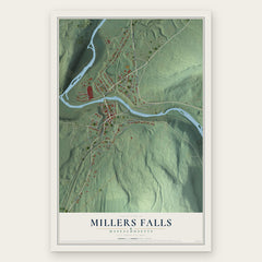

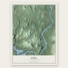
More maps nearby: Deerfield, Wendell, Greenfield, Erving and Leverett.
The art of mapping a place
How This Map Was Made
Real places. Remarkable detail. Discover the layers that turn geographic data into a map of home.

The view from above
Aerial imagery reveals the character of the land: woodland, open fields, and the patterns of a place.

The shape of the land
Elevation data brings hills, valleys, and subtle changes in the landscape into view.

The details of home
Roads, waterways, and building footprints come together to make the map feel unmistakably local.

Geography becomes art
Considered color, shading, and typography bring the layers together in a map made for your wall.


Process illustrated with Mendon, Massachusetts. Aerial imagery: USDA NAIP. Terrain: USGS 3D Elevation Program. Map details and finished artwork: KNOWOL.
The Details
About This Print
Choose an archival matte print, or a black or white Ayous wood frame. The archival matte print is unframed.
Select your size and finish above to see the matching product image and price.
Materials & Craftsmanship
A contemporary map with the character of a classic atlas, printed on archival matte paper. Optional frames are made from Ayous wood.
Your printed map does not include the watermark shown in the full-map preview.
Shipping & Delivery
Free shipping within the United States. Every print is made to order in the USA.
Buying a gift? Add a note in your cart and we'll include it. We never put prices in the package.
Prints ship within 2 to 3 business days. Allow 7 to 10 days total from ordering for delivery. Timing may vary during holidays or periods of high order volume.
Read our shipping policy.
Returns and damaged prints
Each print is made to order. Change-of-mind refunds are not available after production.
If your print arrives damaged, misprinted or incorrect, contact support@knowol.com within 30 days of receiving it. Include your order number, photos and a description of the issue.
Read our full refund and replacement policy. For questions about your order, email support@knowol.com.