
Search for another town





Free U.S. delivery 7 to 10 days after you order
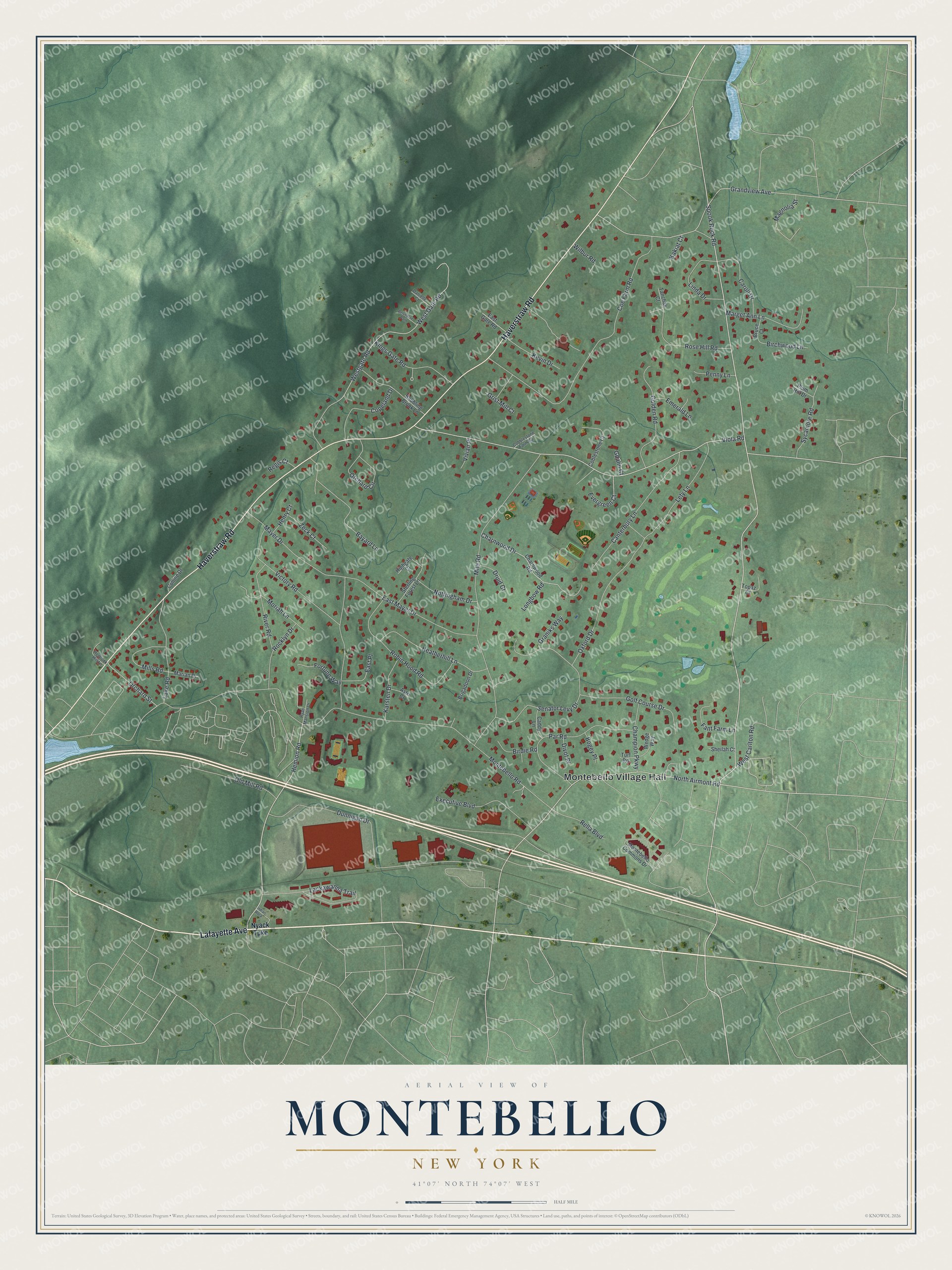
Montebello, New York Map Art
Building by building, with labeled streets and shaded relief.
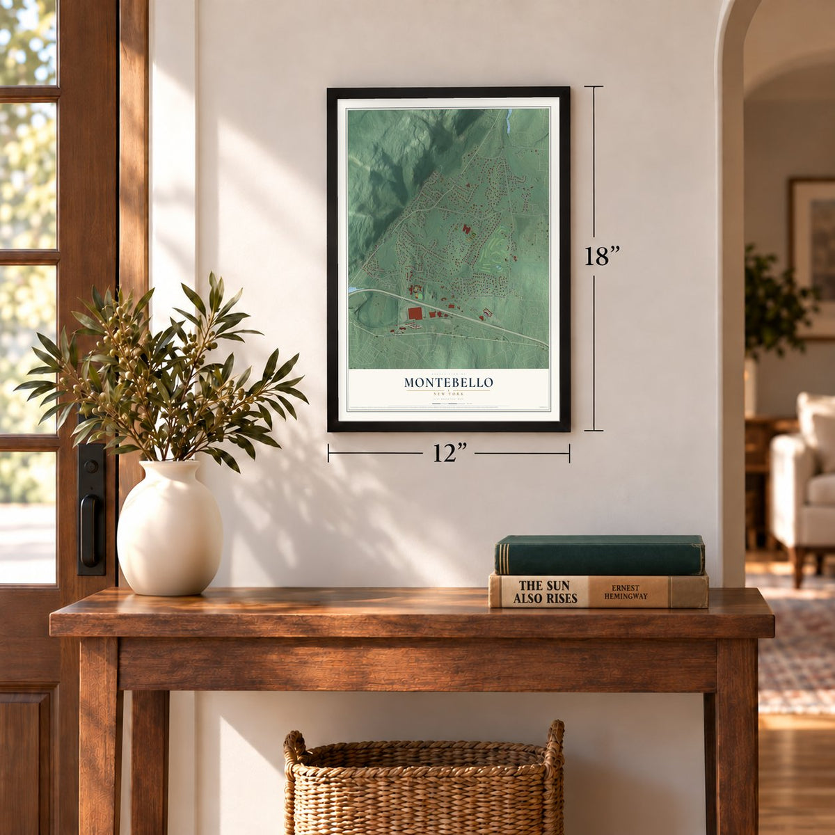
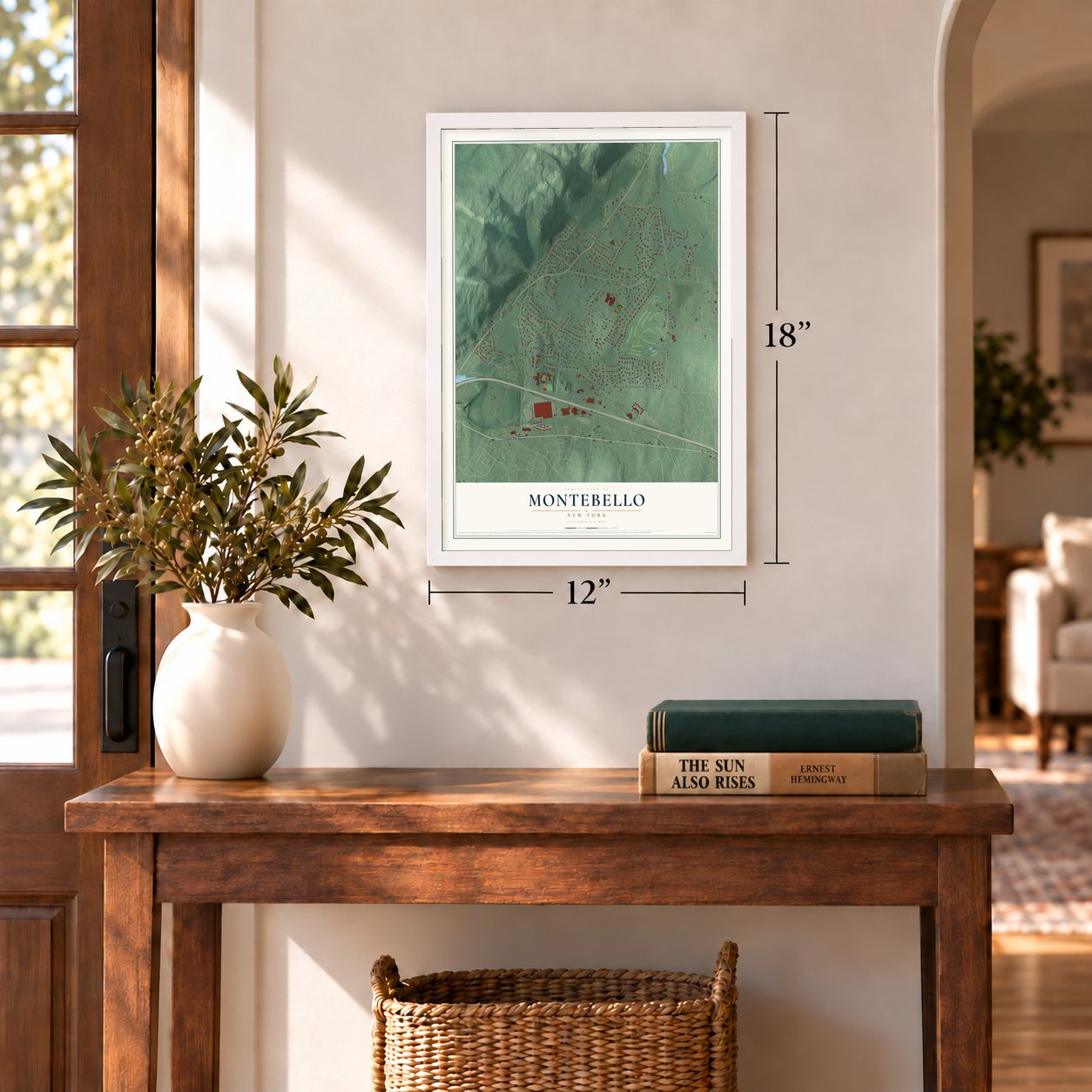
12" x 18" Archival Matte Print
A Map of Home. A Work of Art.
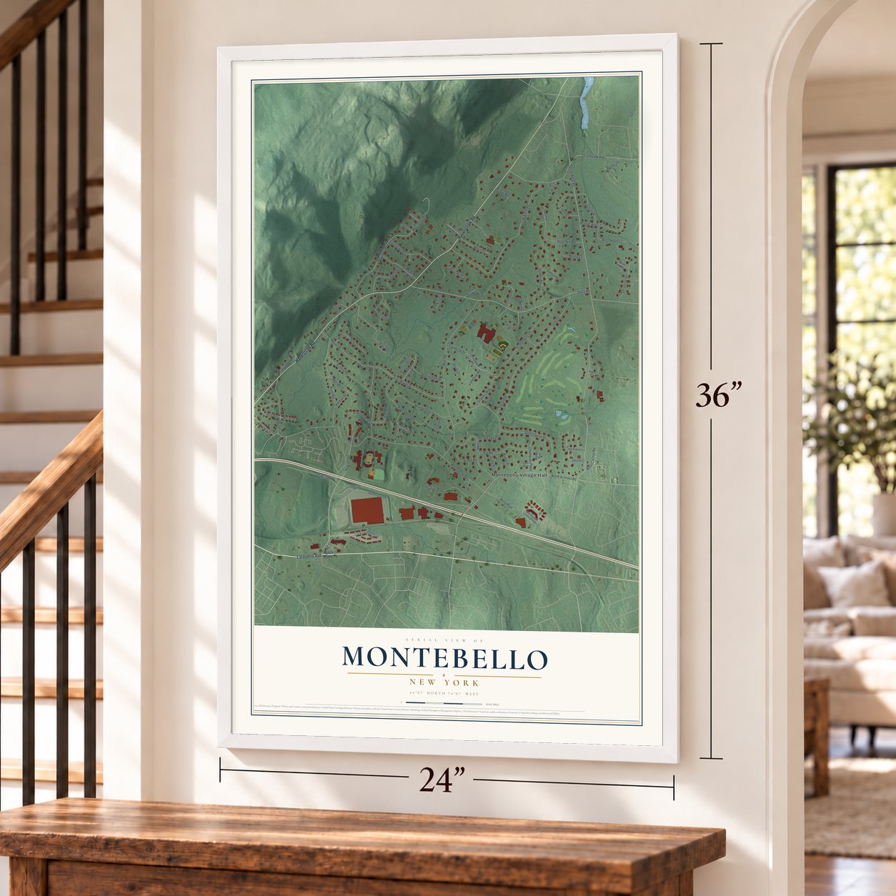
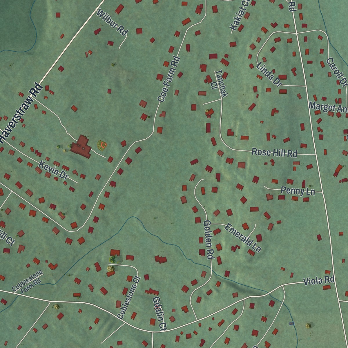
Explore Montebello, New York from a whole new perspective. Created using aerial imagery and detailed geographic data, this map captures Montebello building by building, with labeled streets, familiar landmarks, and shaded topographical relief that highlights the natural contours of the landscape.
Combining modern data with the timeless character of a vintage atlas, this map is just as interesting up close as it is beautiful on the wall. Whether you grew up in Montebello, spent memorable years there, or call it home today, this unique map is a great way to celebrate a place that means something to you. Zoom in on the preview to look for your street, and then order a print to put your memories on the wall.
Three ways to hang it
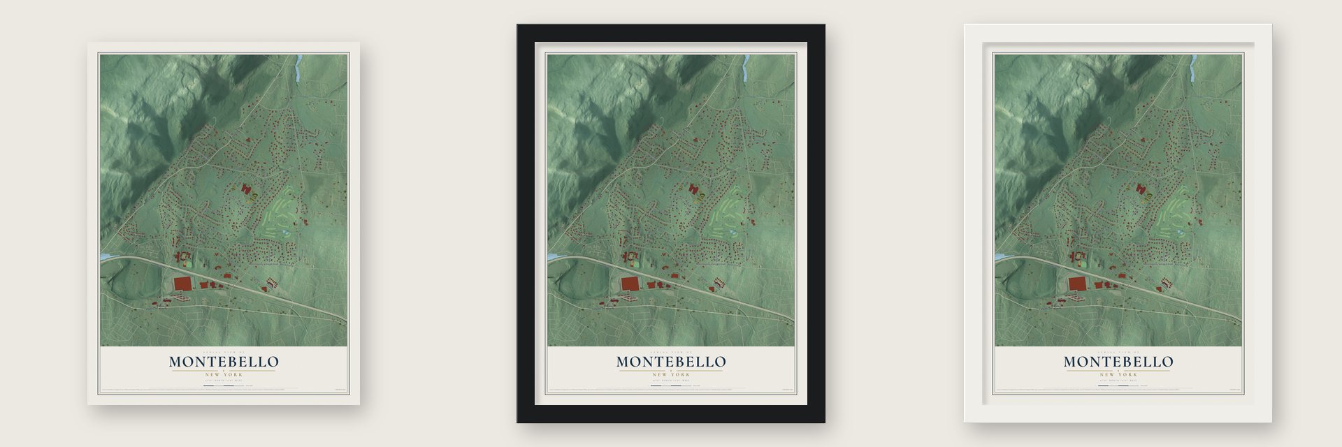
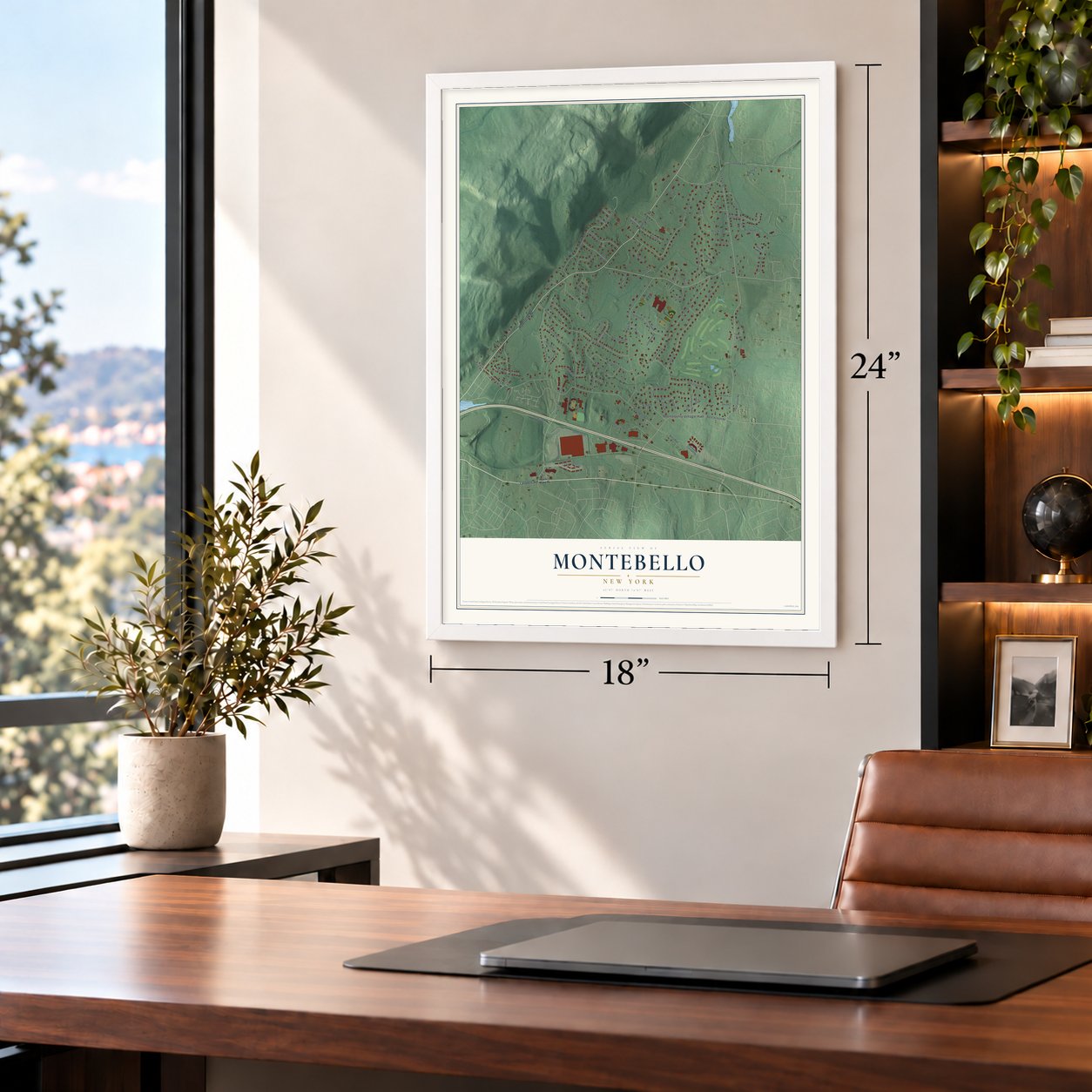
Unframed archival matte, a black wood frame or a white wood frame.
Up close
Geography Worth Displaying
This map was created using accurate cartographic data and authoritative geographic sources, including the U.S. Geological Survey and the Census Bureau. The map brings together terrain, waterways, roads, and building detail. The majority of the streets are labeled, houses are accurately depicted, and the topography is derived from government sources. Combining local data with carefully composed color and shading leads to this beautifully detailed Montebello artwork for your wall.
Rather than simply showing street outlines, we’ve included as many of the street names as we could reasonably fit on the map while keeping their names legible. Zoom in on the high resolution preview to see exactly what’s on the map. We truly set out to create a statement piece for anyone who loves Montebello. So whether it’s for you, or a gift for someone you love, we hope this map of Montebello brings back fond memories.
Read the story behind this map of Montebello, New York from 2026.

Find your street
Names on the Montebello map
Every name below is printed on this map. Look for your street, your school, the park where you played, or the pond down the road.
Places and landmarks1
- Montebello Village Hall
Streets and roads98
- Lafayette Avenue
- Haverstraw Road
- Hemion Road
- Orchard Street
- North Airmont Road
- Spook Rock Road
- Montebello Road
- Viola Road
- Mile Road
- Grandview Avenue
- Coe Farm Road
- Dunnigan Drive
- Westgate Road
- Mayer Drive
- Senator Levy Drive
- West Gate Road
- Oxford Drive
- Par Road
- Lackawanna Trail
- Robin Hood Road
- Canterbury Lane
- East Mayer Drive
- Victory Road
- River Road
- Charnwood Drive
- Bayard Lane
- Lake Road
- Heatherhill Lane
- Lety Lane
- Golf Course Drive
Show all 98 streets
- Golden Road
- Executive Boulevard
- Orchard Circle
- Rose Hill Road
- Marget Ann Lane
- Kings Gate Road
- Copeland Drive
- Linda Drive
- Caroll Drive
- Evergreen Court
- Gdalin Court
- Mills Road
- Magnolia Street
- Sycamore Road
- Champion Parkway
- Nottingham Drive
- Penny Lane
- Karsten Drive
- Kevin Drive
- Rella Boulevard
- Fant Farm Lane
- Moriah Lane
- Birchwood Lane
- Zeck Court
- Fortune Way
- East Place
- West Carlton Road
- Old Mill Road
- Birdie Road
- Emerald Lane
- Graniks Way
- Wilbur Road
- Druid Court
- Longbow Road
- Rocklyn Drive
- Grist Mill Court
- Henry Court
- Bogey Place
- Regis Court
- Vivian Place
- Kakiat Court
- Divot Place
- Nyack Turnpike
- Charnwood Road
- Montebello Commons Drive
- Babbling Brook Lane
- Sterling Forest Lane
- Coblestone Court
- Tanchak Court
- Brigadoon Drive
- Highgate Court
- Caddy Lane
- Wedge Way
- East Gate Road
- Topaz Court
- Marian Drive
- Colline Drive
- Sheilah Court
- Plum Hill Drive
- Bruce Court
- Astri Court
- Turf Road
- Hemlock Hill Lane
- Danielle Court
- Cobblestone Farm Road
- Ryan Mansion Drive
- Indian Rock
- Belvedere Path
Names are listed as they appear on the printed map. Zoom into the product photos to find them.
About Montebello, New York
Montebello is a village of 4,507 people in the Town of Ramapo, Rockland County. After the Erie Railroad began running through neighboring Suffern in 1841, summer trains carried wealthy New Yorkers to the Ramapo Valley, and some of them bought land on its wooded hills for country estates. In August 1887 Ida Barry Ryan and her husband, Thomas Fortune Ryan, a Wall Street financier, bought the hilltop Groesbeck mansion and named the place Montebello, Italian for beautiful mountain.
The Ryans tore down the old frame house and built a brick and stone mansion for $600,000, with 44 rooms, its own chapel, an electric elevator and lanes for bowling. The village dates the house to 1901. Ida Ryan made it her home until she died in 1917, and her husband then broke up the estate. When the village incorporated in 1986, it took the estate's name.
“Turning off the Haverstraw Rd, almost opposite the house of Senator Royal S. Copeland, into a dirt avenue, one is faced by a waste-land of scrub oak and sassafras with a lonely shack near the entrance.”
- The mansion after the RyansIn 1921 Ryan sold the mansion to Edward Swann, the New York City District Attorney, who soon passed it to the Archdiocese of New York as a retreat for St. Joseph's College and Seminary. Gustav Mayer bought it in 1944, but his plans never came about and vandals moved in. Phelps Dodge kept its corporate records there for 31 years from 1951, then sold it for $1.6 million to Gary M. Goldberg, whose firm made it its headquarters.
- Ida Ryan's gifts to SuffernMrs. Ryan is thought to have given $20 million to charity, mostly to Catholic causes. Close to home, she gave equipment to the new Suffern Fire Department, built a church, founded a girls' school and a seminary, and started Good Samaritan Hospital.
- Bayard Lane in 1935Ralph Borsodi, author of the bestseller Flight from the City, started a cooperative homestead colony here on 40 acres in 1935. Families owned their fieldstone houses while the Independence Foundation held the land, and the School of Living opened at 21 Bayard Lane in 1938. During World War II residents turned away from his ideas, Borsodi resigned from the foundation, and many first families left. Two markers on U.S. Route 202 have told the story since 1992.
- Village Hall was a wedding giftPerley Morse, an accountant known for financial investigations he led for the federal and state governments, built an English style cottage of native stone in 1923 for his son Stanley and Blanche Ward Morse when they married. It stayed a private home until the village bought it in 1989, and it now serves as Village Hall.
Keep exploring New York
Montebello is one of 2,165 New York towns we've mapped. Every dot on the map is a print of its own.
The search covers every state, New York first.
Near Montebello
Order 2 or more town maps and save 10%. Shown in the size and finish you picked above, so they hang as a set.
- Ramapo 12" x 18" / Archival Matte Print $39.99
- Viola 12" x 18" / Archival Matte Print $39.99
- Suffern 12" x 18" / Archival Matte Print $39.99
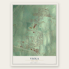
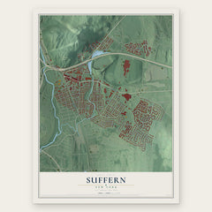
More maps nearby: Kaser, Monsey, Airmont, Wesley Hills and Hillburn.
The art of mapping a place
How This Map Was Made
Real places. Remarkable detail. Discover the layers that turn geographic data into a map of home.

The view from above
Aerial imagery reveals the character of the land: woodland, open fields, and the patterns of a place.

The shape of the land
Elevation data brings hills, valleys, and subtle changes in the landscape into view.

The details of home
Roads, waterways, and building footprints come together to make the map feel unmistakably local.

Geography becomes art
Considered color, shading, and typography bring the layers together in a map made for your wall.


Process illustrated with Mendon, Massachusetts. Aerial imagery: USDA NAIP. Terrain: USGS 3D Elevation Program. Map details and finished artwork: KNOWOL.
The Details
About This Print
Choose an archival matte print, or a black or white Ayous wood frame. The archival matte print is unframed.
Select your size and finish above to see the matching product image and price.
Materials & Craftsmanship
A contemporary map with the character of a classic atlas, printed on archival matte paper. Optional frames are made from Ayous wood.
Your printed map does not include the watermark shown in the full-map preview.
Shipping & Delivery
Free shipping within the United States. Every print is made to order in the USA.
Buying a gift? Add a note in your cart and we'll include it. We never put prices in the package.
Prints ship within 2 to 3 business days. Allow 7 to 10 days total from ordering for delivery. Timing may vary during holidays or periods of high order volume.
Read our shipping policy.
Returns and damaged prints
Each print is made to order. Change-of-mind refunds are not available after production.
If your print arrives damaged, misprinted or incorrect, contact support@knowol.com within 30 days of receiving it. Include your order number, photos and a description of the issue.
Read our full refund and replacement policy. For questions about your order, email support@knowol.com.