
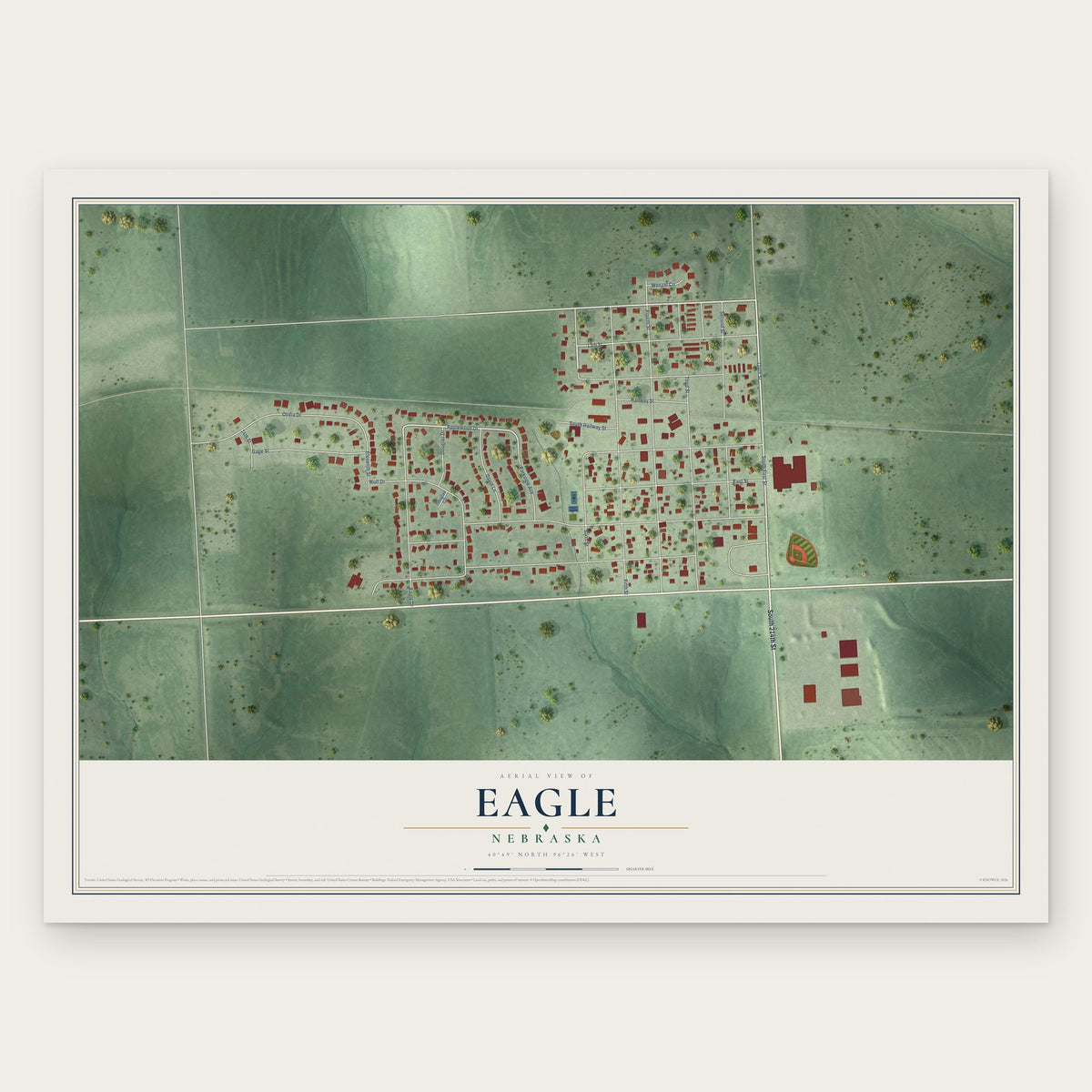


Search for another town





Free U.S. delivery 7 to 10 days after you order
Montgomery, Alabama Map Art
Building by building, with labeled streets and shaded relief.
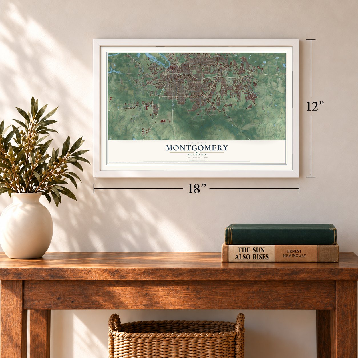
12" x 18" Archival Matte Print
A Map of Home. A Work of Art.
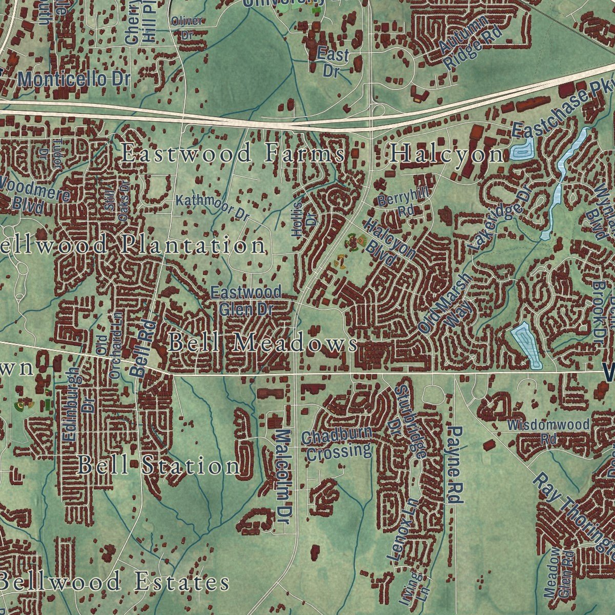
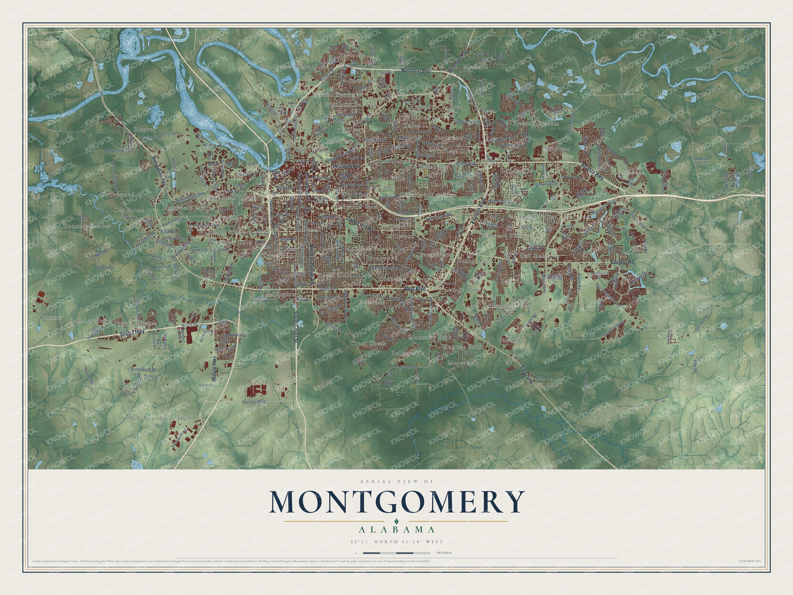
Explore Montgomery, Alabama from a whole new perspective. Created using aerial imagery and detailed geographic data, this map captures Montgomery building by building, with labeled streets, familiar landmarks, and shaded topographical relief that highlights the natural contours of the landscape.
Combining modern data with the timeless character of a vintage atlas, this map is just as interesting up close as it is beautiful on the wall. Whether you grew up in Montgomery, spent memorable years there, or call it home today, this unique map is a great way to celebrate a place that means something to you. Zoom in on the preview to look for your street, and then order a print to put your memories on the wall.
Three ways to hang it
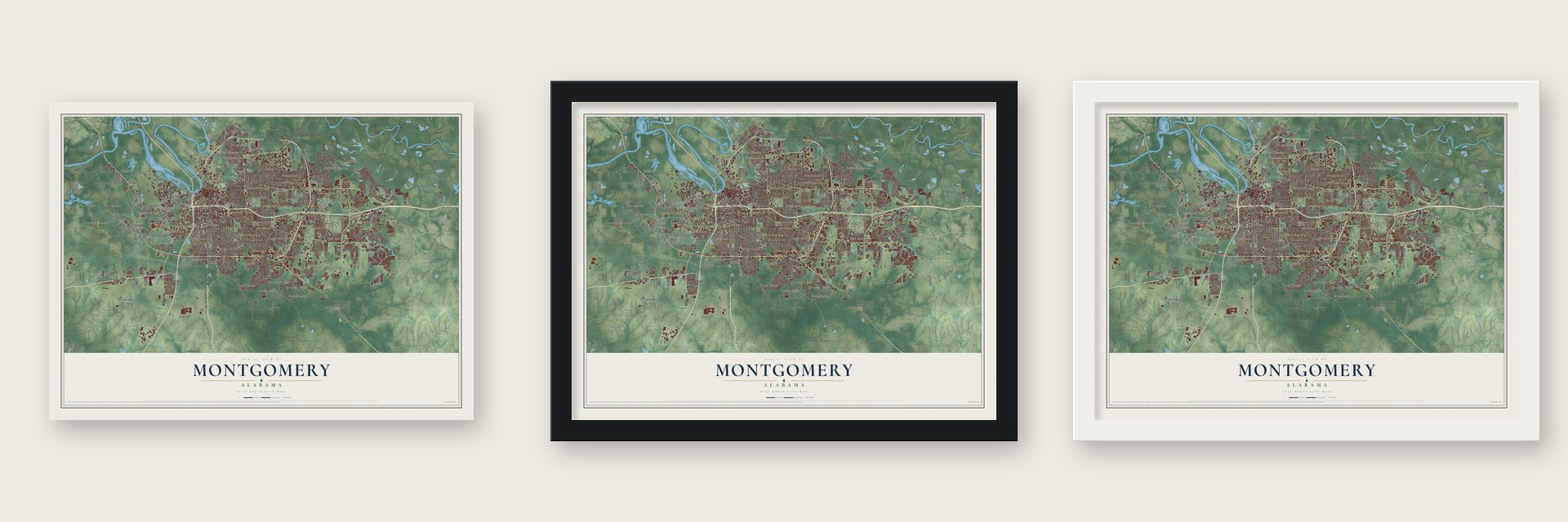
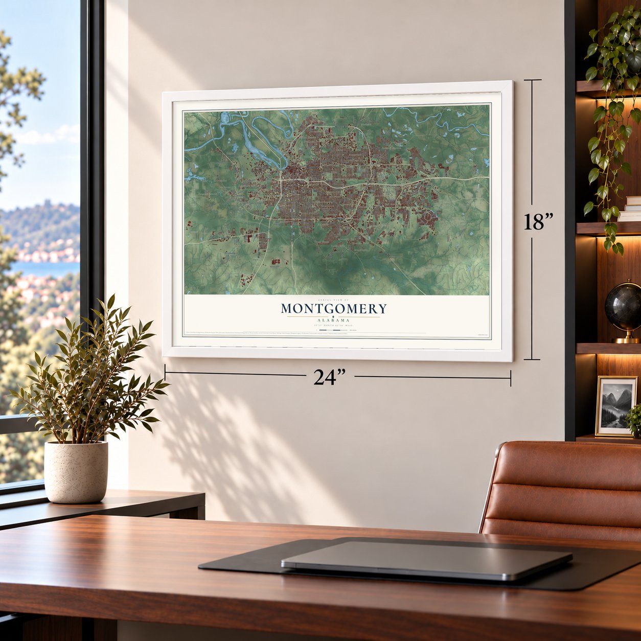
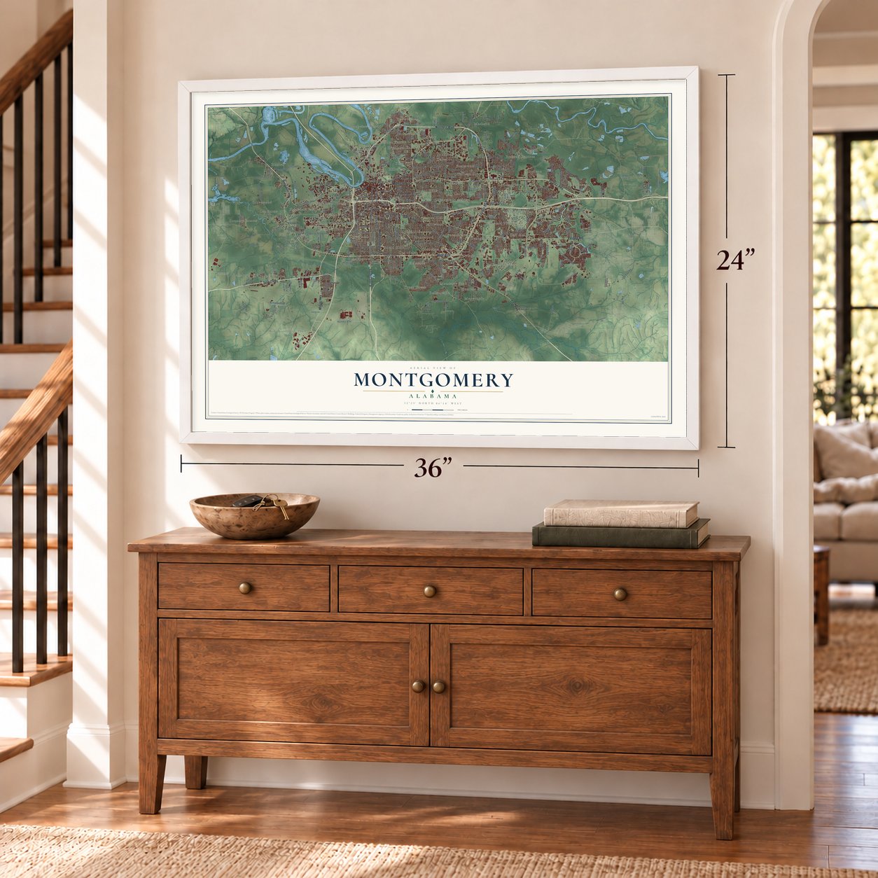
Unframed archival matte, a black wood frame or a white wood frame.
Up close
Geography Worth Displaying
This map was created using accurate cartographic data and authoritative geographic sources, including the U.S. Geological Survey and the Census Bureau. The map brings together terrain, waterways, roads, and building detail. The majority of the streets are labeled, houses are accurately depicted, and the topography is derived from government sources. Combining local data with carefully composed color and shading leads to this beautifully detailed Montgomery artwork for your wall.
Rather than simply showing street outlines, we’ve included as many of the street names as we could reasonably fit on the map while keeping their names legible. Zoom in on the high resolution preview to see exactly what’s on the map. We truly set out to create a statement piece for anyone who loves Montgomery. So whether it’s for you, or a gift for someone you love, we hope this map of Montgomery brings back fond memories.
Read the story behind this map of Montgomery, Alabama from 2026.

Find your street
Names on the Montgomery map
Every name below is printed on this map. Look for your street, your school, the park where you played, or the pond down the road.
Places and landmarks66
- Arlington
- Arrowhead
- Barachias
- Bell Meadows
- Bell Station
- Bellehurst
- Bellemeade
- Bellwood Estates
- Bellwood Plantation
- Boylston
- Brassell Bottom
- Brentwood
Show all 66 places
- Brewer Estates
- Brickdale Estates
- Brookview Manor
- Capitol Heights
- Carol Villa
- Carriage Hills
- Carver Park
- Catoma
- Chisholm
- Clisby Park
- Cloverdale
- Cloverland
- Clubview Estates
- College Grove
- Country Estates
- Cross Creek
- Dalraida
- Dannley Pines
- Druid Hills
- Eastmont
- Eastwood Farms
- Elsmeade
- Forest Hills
- Garden Square
- Georgetown
- Gibbs Village
- Green Acres
- Grove Hill
- Grovewood
- Halcyon
- Highland Gardens
- Highland Village
- Highpoint Estates
- Hillcrest
- Hillwood
- Hillwood West
- Hope Hull
- Hunter
- Hunters Point
- Johnstown
- Kilby
- King Hill
- Lakeview Heights
- Landmarks
- Lee Farms
- Lynndale
- Macedonia
- Madison
- Mayfair
- McGehee Estates
- McGehees
- Memorial Heights
- Mitylene
- Monterey Park
Streets and roads337
- West Boulevard
- Selma Highway
- Atlanta Highway
- Norman Bridge Road
- Eastern Boulevard
- South Court Street
- Madison Avenue
- Northern Boulevard
- Vaughn Road
- Troy Highway
- Mobile Highway
- Carter Hill Road
- Taylor Road
- Woodley Road
- Day Street
- Birmingham Highway
- Bell Street
- South Decatur Street
- Hayneville Road
- Poplar Street
- Old Selma Road
- Wares Ferry Road
- Bell Road
- Narrow Lane Road
- Ray Thorington Road
- Hyundai Boulevard
- Oak Street
- Washington Ferry Road
- March Street
- Hunter Loop Road
Show all 337 streets
- Park Crossing
- South Boulevard
- Old Pike Road
- South Perry Street
- Carmichael Road
- Eastchase Parkway
- University Drive
- South Hull Street
- Well Road
- North Court Street
- Upper Wetumpka Road
- McLemore Drive
- Virginia Loop Road
- Fieldcrest Drive
- Richardson Road
- Lamar Road
- Todd Road
- Highland Avenue
- Foshee Road
- Sprott Road
- Gaston Avenue
- Southmont Drive
- McInnis Road
- Pelzer Avenue
- Thomas Avenue
- Le Bron Road
- Roquemore Street
- Forbes Drive
- Pinebrook Drive
- Payne Road
- South Holt Street
- Hill Street
- Ann Street
- Hall Street
- Biltmore Avenue
- Felder Avenue
- Dalraida Road
- Seminole Drive
- Early Street
- Ryan Road
- Third Street
- South Lawrence Street
- Pike Road
- Harrison Road
- Strathmore Drive
- Adams Avenue
- Folmar Parkway
- Parallel Street
- Sunshine Drive
- Ashley Road
- Watson Circle
- Sixth Street
- Seibles Road
- Monticello Drive
- Willow Springs Road
- Mill Street
- River Road
- Marston Way
- Fitzpatrick Avenue
- Southlawn Drive
- Brewer Road
- Green Leaf Drive
- North Colonial Drive
- Sayre Street
- Lagoon Park Drive
- Lamuck Street
- Malcolm Drive
- Kelly Street
- Midway Street
- Duff Street
- Felder Road
- Mimosa Road
- Mildred Street
- Sycamore Drive
- Stuart Street
- Creek Drive
- Old Barn Road
- Durbin Street
- Iris Lane
- Oliver Road
- Melanie Drive
- Mace Avenue
- Twining Street
- Ash Street
- Otis Lane
- Federal Drive
- Wetumpka Highway
- Bibb Street
- Clay Street
- North Decatur Street
- North Ripley Street
- Lower Wetumpka Road
- East Drive
- Vista View Drive
- Service Road
- Coliseum Boulevard
- Deer Creek Boulevard
- Wynlakes Boulevard
- Woodmere Boulevard
- Perry Hill Road
- Cloverdale Road
- Old Hayneville Road
- Fuller Road
- Fairlane Drive
- Baldwin Brook Drive
- Harmony Street
- Lakeridge Drive
- West Fleming Road
- Karen Road
- Sprott Drive
- Halcyon Boulevard
- Buckingham Drive
- Eastdale Circle
- Edinburgh Drive
- Copperfield Drive
- Jackson Ferry Road
- Central Parkway
- Chisholm Street
- Carol Villa Drive
- Ohio Ferro Road
- Grove Street
- Patrick Road
- Johnstown Drive
- Sanders Lane
- Autumn Ridge Road
- Hunting Lodge Road
- Mount Meigs Road
- Yancey Avenue
- Chantilly Parkway
- Chadburn Crossing
- Lancaster Lane
- Ellis Drive
- Lemay Plaza
- Rabbitt Road
- Marie Cook Drive
- April Street
- Adler Drive
- Old Lamar Road
- Eastdale Road South
- Cherry Hill Road
- Industrial School Road
- Stoneybrooke Way
- Milton Road
- Jack Pine Drive
- Forest Avenue
- Southview Avenue
- Velma Circle
- Camellia Drive
- Cross Street
- Doris Circle
- Columbus Street
- Brown Springs Road
- Finley Avenue
- Tyler Road
- Old Marsh Way
- Oak Grove Drive
- White Acres Road
- Covered Bridge Drive
- Upton Road
- Inner Circle
- Boat Road
- Westport Boulevard
- Simmons Drive
- Burnsdale Drive
- Faith Lane
- Farwood Drive
- Bent Brook Drive
- Sturbridge Drive
- Eastwood Glen Drive
- Stehle Lane
- Park Avenue
- Davenport Drive
- Lafayette Street
- Joryne Drive
- Phillip Street
- Davis Drive
- Jeffrey Drive
- Taft Street
- David Drive
- Rice Street
- Barnes Road
- Lenox Lane
- College Street
- Hyde Park Drive
- Carter Lane
- Avon Road
- Arden Road
- Forest Trail
- Minnie Brown Road
- Lark Drive
- Grande Avenue
- Placid Drive
- James Road
- Salary Street
- Kansas Street
- Mayfair Drive
- Twin Oaks Drive
- Turner Place
- North Drive
- North Belt Drive
- Dyas Drive
- Cherry Hill Place
- Eton Road
- Long Acre
- Civic Street
- Ethel Street
- West Fairview Avenue
- Parker Avenue
- Fernway Drive
- McGehee Road
- Kathmoor Drive
- Meriwether Road
- Gunter Park Drive East
- Zelda Road
- Old Post Lane
- Oakbrook Drive
- Berryhill Road
- Goode Street
- Mulberry Street
- Cherry Street
- University Drive North
- High Street
- Day Street Road
- Susan Drive
- Towne Lake Drive
- Willow Street
- Green Acres Drive
- Wisdomwood Road
- Barberry Street
- Eastern Shore Road
- Bowman Street
- Whitehall Parkway
- Elsmeade Drive
- Tullis Drive
- East Fleming Road
- Old Orchard Lane
- Patterson Road
- Jenkins Lane
- Edna Brake Lucas Drive
- Raintree Drive
- Samantha Drive
- Turner Boulevard
- East Avalon Parkway
- North Pass Road
- Fannin Road
- Coral Lane
- Byrne Drive
- Calmar Drive
- Gunster Road
- George Todd Drive
- Meadow Glen Road
- Carver Road
- Retail Drive
- Hollis Drive
- Irving Lane
- Sierra Street
- Troy Street
- Ninth Street
- Air Base Boulevard
- North Burbank Drive
- Concrete Drive
- West Edgemont Avenue
- Arrowhead Drive
- Selfridge Street
- Riverside Drive
- Clayton Street
- Ryan Street
- Little John Drive
- West Patton Avenue
- First Street
- Sunnybrook Drive
- Lh Hamilton Road
- Brewbaker Boulevard
- Eighth Street
- Kelley Lane
- Boultier Street
- Zephyr Hills Drive
- Roy Hodges Boulevard
- Newell Parkway
- Old Farm Road
- Newcomb Avenue
- Henry Drive
- Beaumont Drive
- Ocala Drive
- South Drive
- Harness Hill Road
- Williams Road
- Connie Circle
- Pinehill Road
- Mosswood Road
- Still Oaks Drive
- Towne Lakes Drive
- Plummer Drive
- Bruce Street
- Caraway Lane
- Kilby Field Road
- Louisville Street
- Reese Ferry Road
- Spaatz Street
- Potomac Avenue
- Worley Lane
- Stone Street
- Miller Street
- Mastin Lane
- Money Road
- Tudor Drive
- Oliver Drive
Names are listed as they appear on the printed map. Zoom into the product photos to find them.
About Montgomery, Alabama
Montgomery is Alabama's capital and the seat of Montgomery County, a city of 200,603 people on the Alabama River. The Creeks gave up this land to the United States after their defeat in 1814, and settlers soon came to plant cotton. General John Scott's group started Alabama Town about 2 miles downriver, and Andrew Dexter Jr. founded New Philadelphia nearby.
Scott's partners then built East Alabama Town right beside Dexter's town. The two rivals joined on December 3, 1819, and took the name of Richard Montgomery, a general of the Revolutionary War. The town became the county seat in 1822. The cotton trade, much of it built on buying and selling enslaved people, pushed its population past 12,000 by 1850.
- Goat Hill and the CapitolAndrew Dexter set aside a hilltop called Goat Hill, at the east end of Market Street, for a future statehouse. In 1846 the legislature moved the capital here from Tuscaloosa. The first capitol was finished in 1847 but burned in December 1849, so the state built again, and the building completed in 1851 is still in use. The Alabama State Capitol joined the National Register in 1966.
- Jefferson Davis on the stepsIn February 1861 Jefferson Davis stood on the steps of the Capitol to take the oath as Confederate president. The Confederate government stayed only a few months in Montgomery before leaving for Richmond, Virginia, that May.
- Electric streetcars in 1886In 1886 Montgomery became the first U.S. city to run electric streetcars across the whole city, on a system people nicknamed the Lightning Route. Families followed the tracks out to new homes on the edge of town. In 1910 the Wright Brothers opened a civilian flying school here.
- The bus boycottMartin Luther King Jr. became Dexter Avenue Baptist Church's pastor in September 1954. Rosa Parks was arrested on December 1, 1955, for refusing to give her seat to a white man, and King's church hosted the boycott's organizers the next day. King and E.D. Nixon founded the Montgomery Improvement Association to lead it. Judge Frank M. Johnson struck down bus segregation in June 1956, the Supreme Court agreed that November, and the boycott ended once buses were desegregated.
- 25,000 marchers in 1965Civil rights leaders in Selma, fighting rules that kept Black citizens from registering to vote, set out to march to Montgomery and petition Governor George Wallace. County and state police met them with violence, and the federal government ordered troops to protect them. Thousands joined along the road, and the march reached the capital on March 25, 1965, an estimated 25,000 strong. It helped win passage of the Voting Rights Act that year.
Keep exploring Alabama
Montgomery is one of 675 Alabama towns we've mapped. Every dot on the map is a print of its own.
The search covers every state, Alabama first.
Near Montgomery
Order 2 or more town maps and save 10%. Shown in the size and finish you picked above, so they hang as a set.
- Catoma 12" x 18" / Archival Matte Print $39.99
- Pike Road 12" x 18" / Archival Matte Print $39.99
- Coosada 12" x 18" / Archival Matte Print $39.99


More maps nearby: Blue Ridge, Redland, Emerald Mountain, Millbrook and Prattville.
The art of mapping a place
How This Map Was Made
Real places. Remarkable detail. Discover the layers that turn geographic data into a map of home.

The view from above
Aerial imagery reveals the character of the land: woodland, open fields, and the patterns of a place.

The shape of the land
Elevation data brings hills, valleys, and subtle changes in the landscape into view.

The details of home
Roads, waterways, and building footprints come together to make the map feel unmistakably local.

Geography becomes art
Considered color, shading, and typography bring the layers together in a map made for your wall.


Process illustrated with Mendon, Massachusetts. Aerial imagery: USDA NAIP. Terrain: USGS 3D Elevation Program. Map details and finished artwork: KNOWOL.
The Details
About This Print
Choose an archival matte print, or a black or white Ayous wood frame. The archival matte print is unframed.
Select your size and finish above to see the matching product image and price.
Materials & Craftsmanship
A contemporary map with the character of a classic atlas, printed on archival matte paper. Optional frames are made from Ayous wood.
Your printed map does not include the watermark shown in the full-map preview.
Shipping & Delivery
Free shipping within the United States. Every print is made to order in the USA.
Buying a gift? Add a note in your cart and we'll include it. We never put prices in the package.
Prints ship within 2 to 3 business days. Allow 7 to 10 days total from ordering for delivery. Timing may vary during holidays or periods of high order volume.
Read our shipping policy.
Returns and damaged prints
Each print is made to order. Change-of-mind refunds are not available after production.
If your print arrives damaged, misprinted or incorrect, contact support@knowol.com within 30 days of receiving it. Include your order number, photos and a description of the issue.
Read our full refund and replacement policy. For questions about your order, email support@knowol.com.