
Search for another town
Free U.S. delivery 7 to 10 days after you order
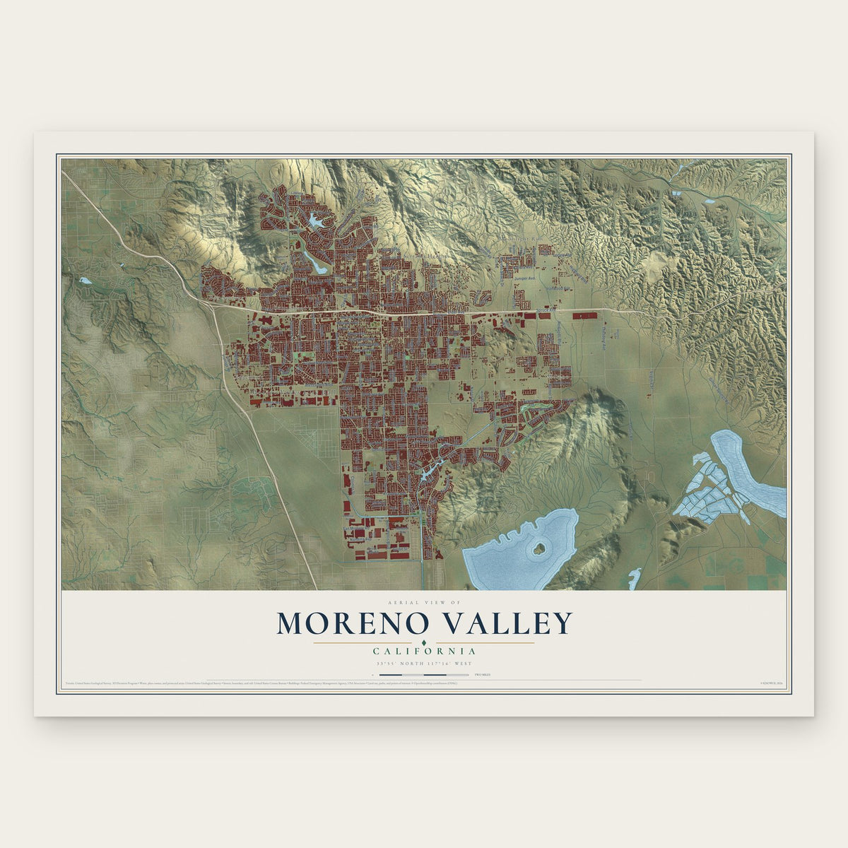
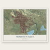
Moreno Valley, California Map Art
Building by building, with labeled streets and shaded relief.
12" x 18" Archival Matte Print
A Map of Home. A Work of Art.
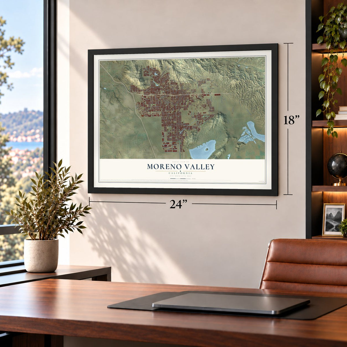
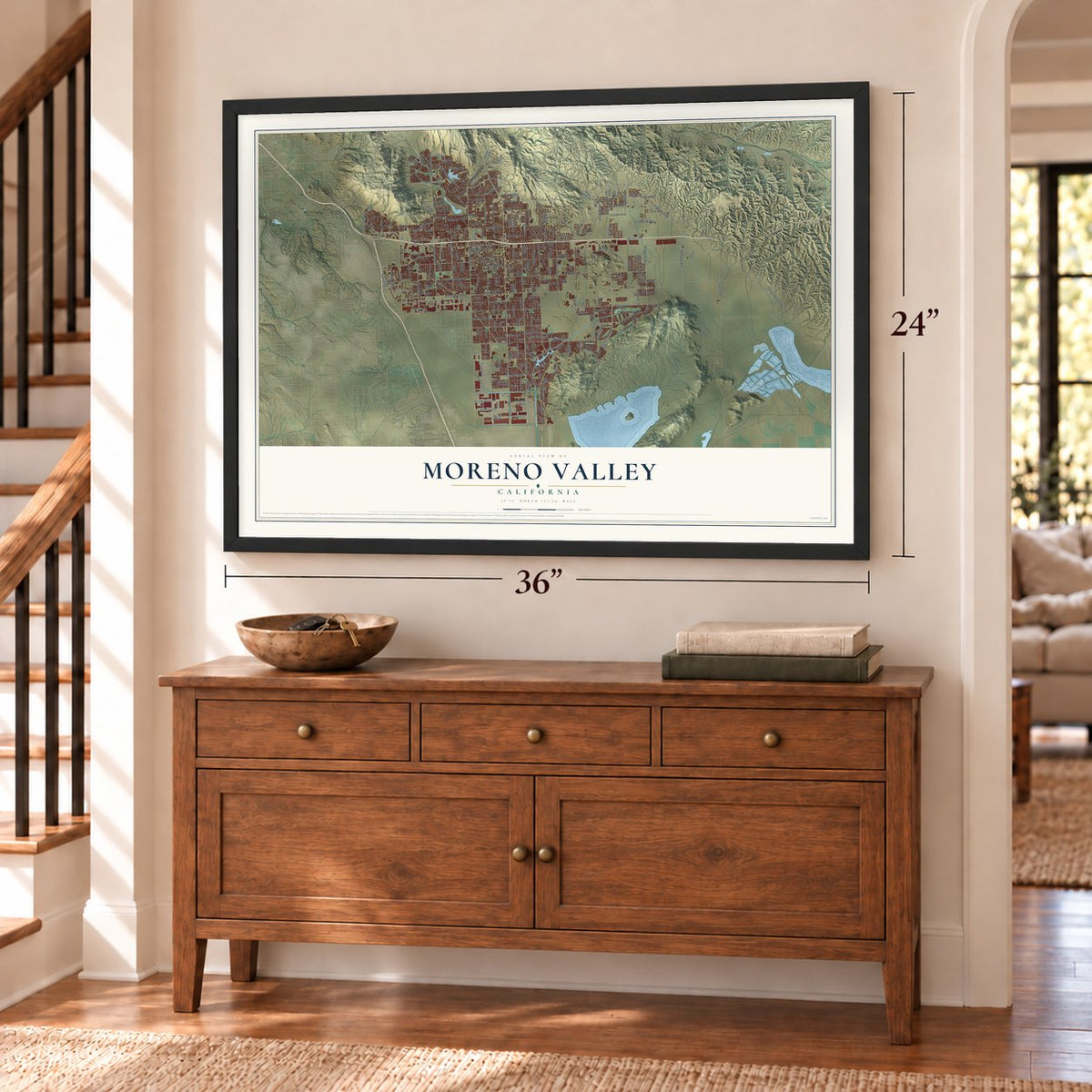
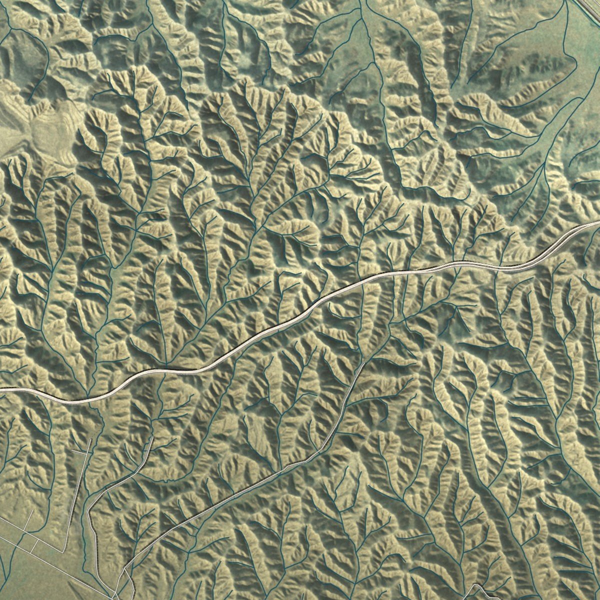
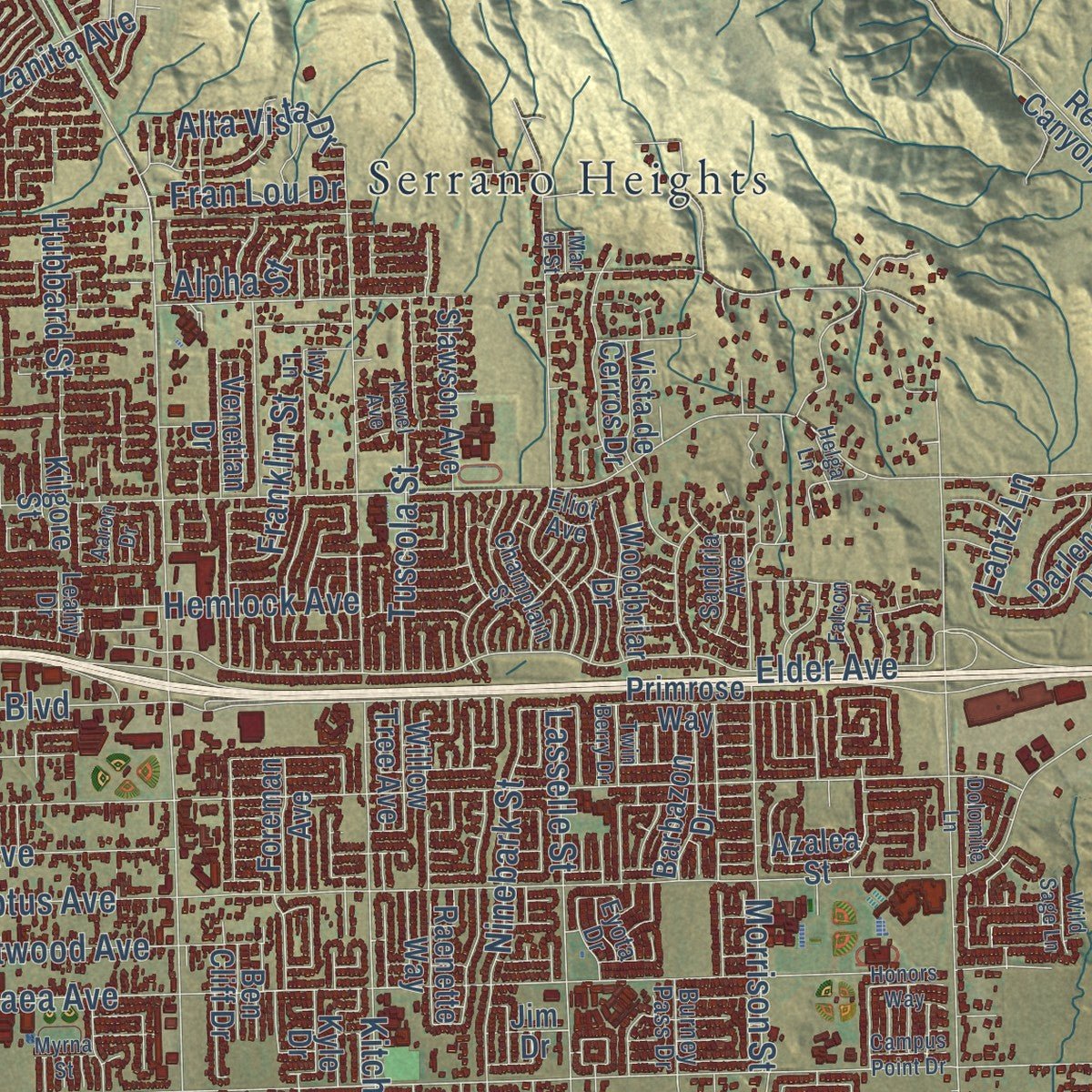
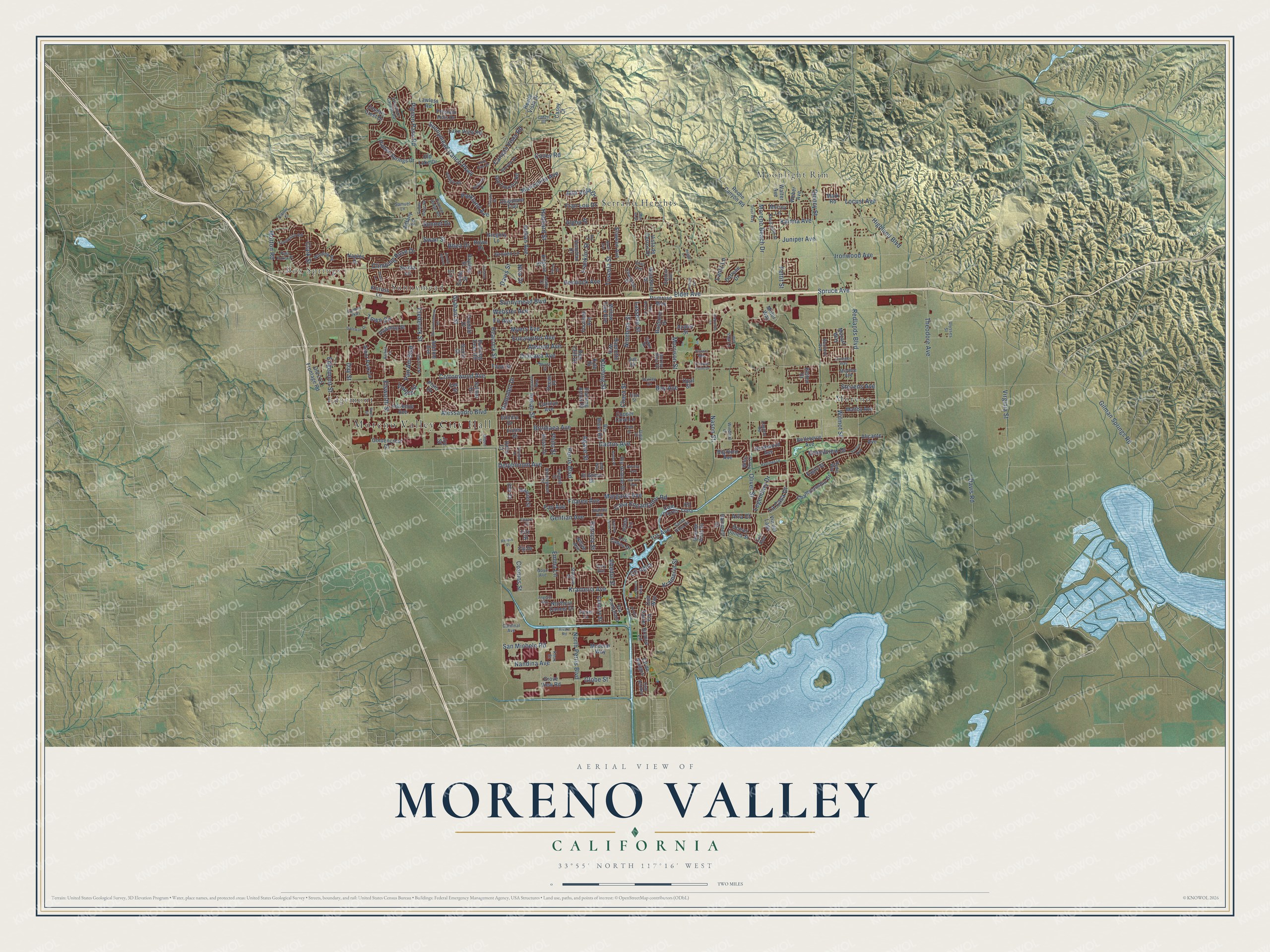
Explore Moreno Valley, California from a whole new perspective. Created using aerial imagery and detailed geographic data, this map captures Moreno Valley building by building, with labeled streets, familiar landmarks, and shaded topographical relief that highlights the natural contours of the landscape.
Combining modern data with the timeless character of a vintage atlas, this map is just as interesting up close as it is beautiful on the wall. Whether you grew up in Moreno Valley, spent memorable years there, or call it home today, this unique map is a great way to celebrate a place that means something to you. Zoom in on the preview to look for your street, and then order a print to put your memories on the wall.
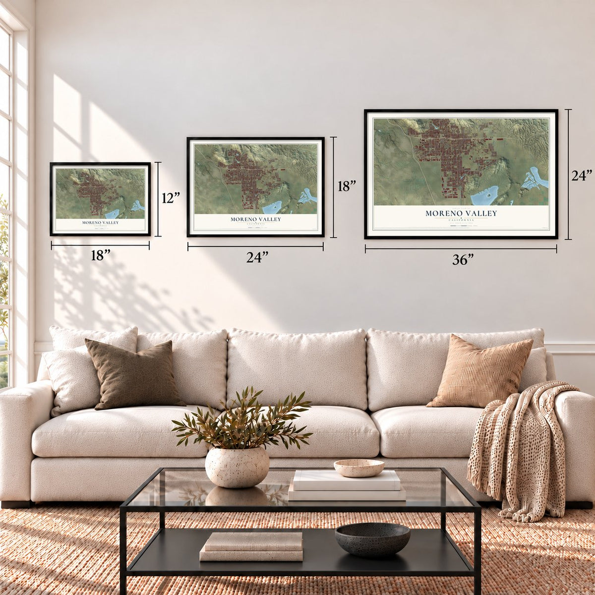
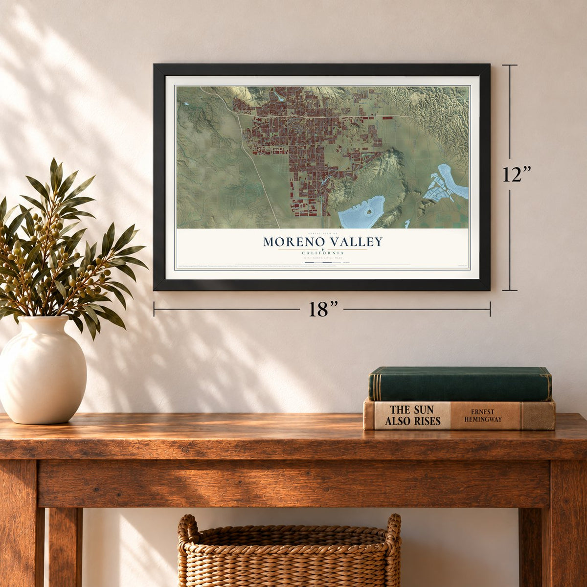
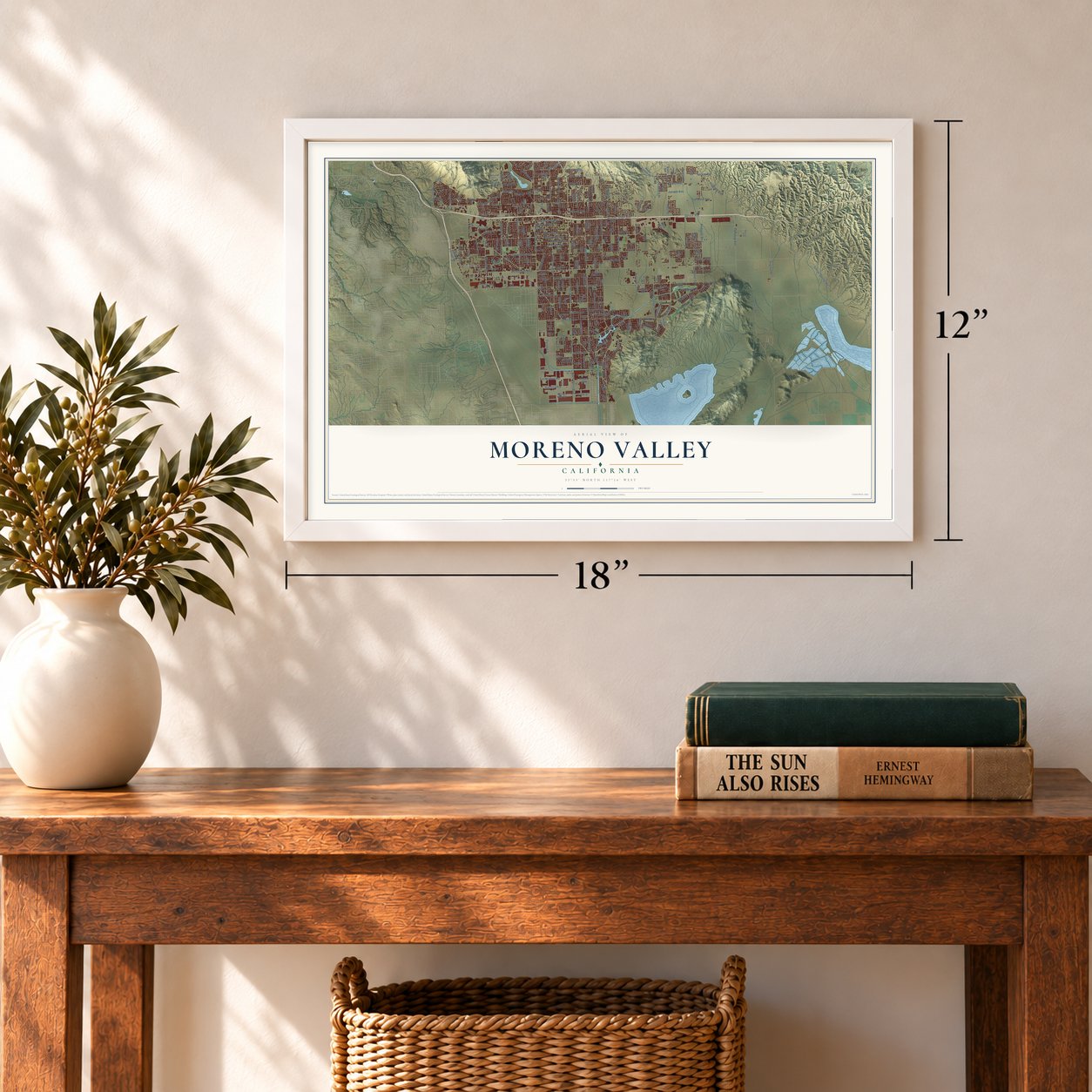
Three ways to hang it
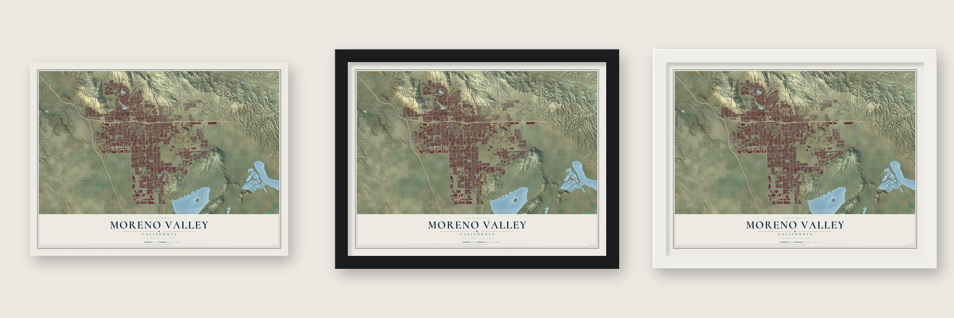
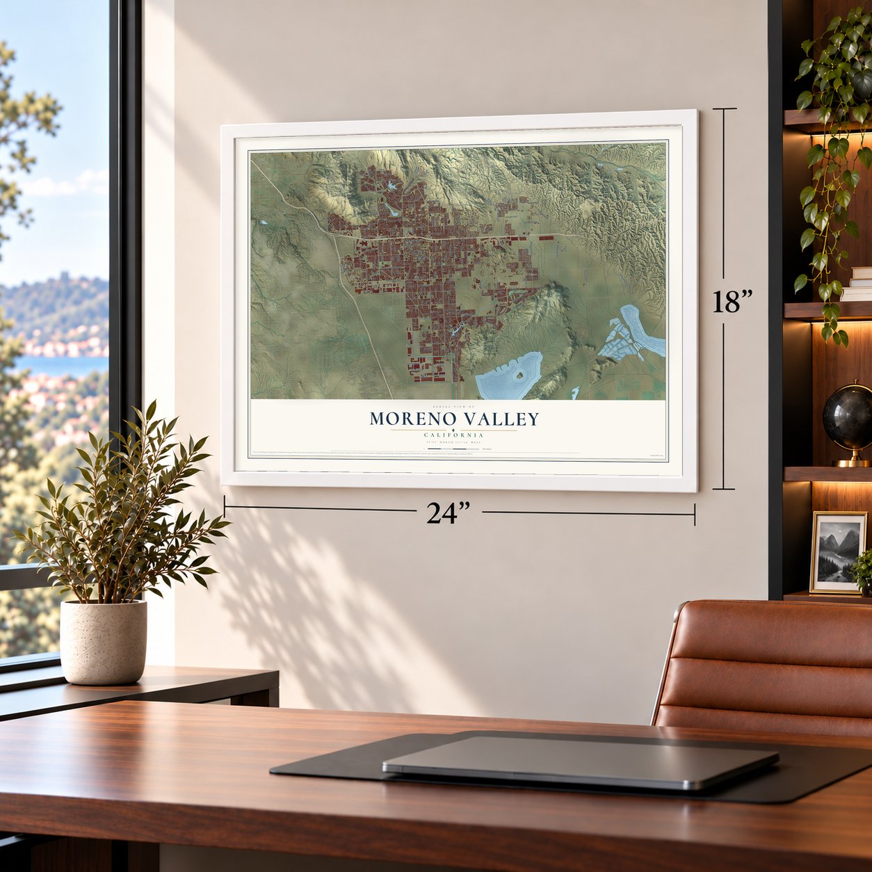
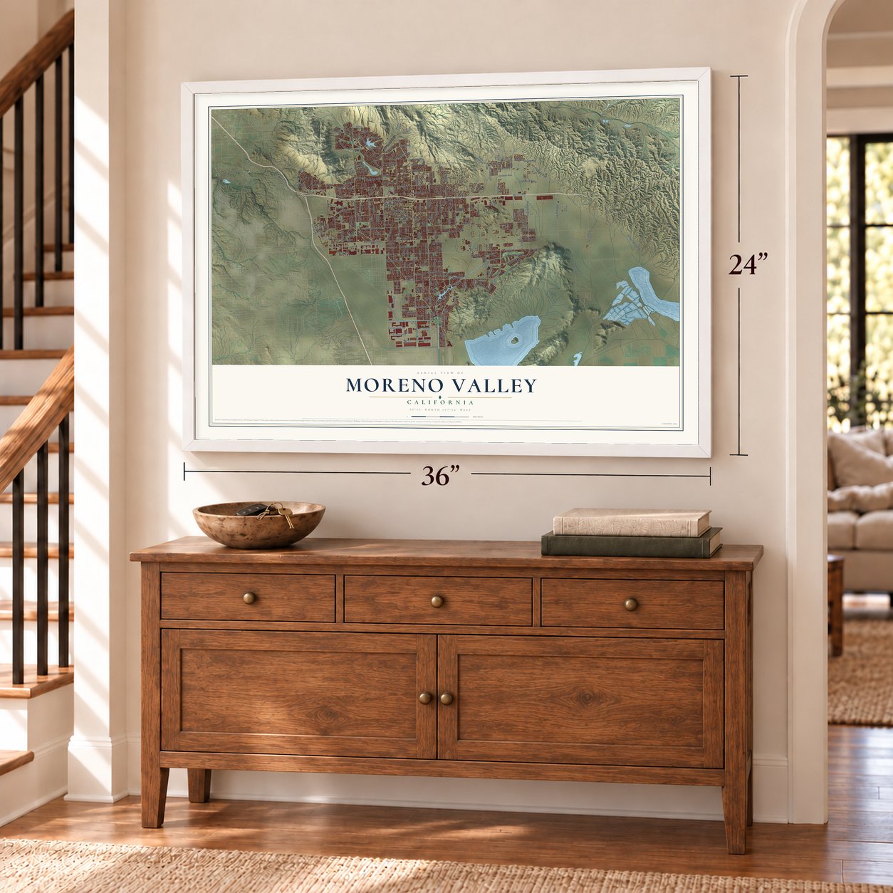
Unframed archival matte, a black wood frame or a white wood frame.
Up close
Geography Worth Displaying
This map was created using accurate cartographic data and authoritative geographic sources, including the U.S. Geological Survey and the Census Bureau. The map brings together terrain, waterways, roads, and building detail. The majority of the streets are labeled, houses are accurately depicted, and the topography is derived from government sources. Combining local data with carefully composed color and shading leads to this beautifully detailed Moreno Valley artwork for your wall.
Rather than simply showing street outlines, we’ve included as many of the street names as we could reasonably fit on the map while keeping their names legible. Zoom in on the high resolution preview to see exactly what’s on the map. We truly set out to create a statement piece for anyone who loves Moreno Valley. So whether it’s for you, or a gift for someone you love, we hope this map of Moreno Valley brings back fond memories.
Read the story behind this map of Moreno Valley, California from 2026.
Find your street
Names on the Moreno Valley map
Every name below is printed on this map. Look for your street, your school, the park where you played, or the pond down the road.
Places and landmarks7
- Moreno Valley City Hall
- Box Springs
- Edgemont
- Moonlight Rim
- Moreno
- Serrano Heights
- Sunnymead
Streets and roads276
- Grandview Drive
- Oliver Street
- Krameria Avenue
- Spruce Avenue
- Alessandro Boulevard
- Eucalyptus Avenue
- Heacock Street
- Ironwood Avenue
- Cottonwood Avenue
- Cactus Avenue
- Dracaea Avenue
- Lasselle Street
- Perris Boulevard
- Kitching Street
- Bay Avenue
- Indian Street
- Brodiaea Avenue
- Moreno Beach Drive
- Iris Avenue
- Hemlock Avenue
- Kalmia Avenue
- Redlands Boulevard
- Fir Avenue
- Nason Street
- Pigeon Pass Road
- Sunnymead Boulevard
- Quincy Street
- Graham Street
- Day Street
- Delphinium Avenue
Show all 276 streets
- Elder Avenue
- Gentian Avenue
- Theodore Avenue
- Gilman Springs Road
- Virginia Street
- Frederick Street
- Morrison Street
- Davis Road
- Locust Avenue
- Sunnymead Ranch Parkway
- Juniper Avenue
- Elsworth Street
- Town Circle
- Manzanita Avenue
- Davis Street
- Atwood Avenue
- Pettit Street
- Pan Am Boulevard
- Ninebark Street
- North Perris Boulevard
- Highland Boulevard
- Nandina Avenue
- San Michele Road
- Myers Avenue
- Casa Encantador Road
- Wilmot Street
- Canyon Vista Road
- Hubbard Street
- Indian Avenue
- Fay Avenue
- Swan Street
- Webster Avenue
- Patricia Street
- Climbing Rose Drive
- Edgemont Street
- Morton Road
- Filaree Avenue
- Margaret Avenue
- Emma Lane
- Fran Lou Drive
- Parkland Avenue
- Agave Street
- Tuscola Street
- Krameria Street
- La Casa Drive
- Vought Street
- Franklin Street
- Clark Street
- Cll Agua
- Legendary Drive
- Alta Vista Drive
- Stevens Avenue
- Globe Street
- Ramsdell Drive
- Lantz Lane
- Cosmos Street
- Sonnet Drive
- Abedul Street
- Alpha Street
- Arla Court
- Chara Street
- Covey Road
- Rhea Drive
- Nita Drive
- Philo Street
- Via del Lago
- Azalea Street
- Old 215 Frontage Road
- Hidden Springs Drive
- Championship Drive
- Reche Vista Drive
- Hammett Court
- Rio Bravo Road
- Lake Vista Road
- Old Country Road
- Presidio Hills Drive
- Maltby Avenue
- Vista de Cerros Drive
- Rio Grande Drive
- Primrose Way
- Running Deer Road
- Cam Flores
- Kinross Lane
- Old Lake Drive
- Weber Avenue
- Raenette Way
- Grove View Road
- Slawson Avenue
- Modular Way
- Arbor Park Lane
- Chippewa Trail
- Lawless Road
- Rockwood Avenue
- El Greco Drive
- Grande Vista Drive
- Barbazon Drive
- Goldencrest Drive
- Northern Dancer Drive
- Belleterre Avenue
- Big Horn Avenue
- Adrienne Avenue
- Victor Drive
- Woodbriar Drive
- Century Street
- Unity Court
- Colt Way
- Groven Lane
- Country Crest Drive
- Downing Street
- Motor Way
- Bayless Street
- Reche Canyon Road
- Sylmar Drive
- Casey Court
- Venetian Drive
- Ocean Dunes Street
- Via Pamplona
- Foreman Avenue
- Copper Cove Lane
- Gabriel Street
- Joy Street
- Darlene Drive
- Adeline Avenue
- Flaming Arrow Drive
- Gregory Lane
- Willow Tree Avenue
- Los Cabos Drive
- Ninya Avenue
- Foxdale Drive
- Morrey Lane
- Via Xavier
- Naples Drive
- Scotia Lane
- Eagle Street
- Carolyn Avenue
- Dimitra Drive
- Finley Drive
- Cll de Amigos
- Tiffany Lane
- Alicante Avenue
- Kilgore Street
- Pecan Place
- Fawn Street
- Walter Avenue
- Mozart Way
- Bronco Lane
- Ben Cliff Drive
- Rowe Drive
- Zinnia Street
- Kelton Court
- Elm Court
- Mark Road
- Opal Street
- Jim Drive
- Sunlit Court
- Kyle Drive
- Isleta Lane
- Fiji Drive
- Yee Street
- Cll Luna
- Plato Drive
- Fitz Street
- Wexford Avenue
- Cam Real
- Sycamore Canyon Road
- Village Road
- Winding Road
- Wintergreen Street
- Champlain Street
- Tennyson Road
- Knoll Vista Street
- Juanita Avenue
- Ivy Lane
- Santa Rosa Drive
- Starview Street
- Pala Foxia Place
- Goya Avenue
- Pioneer Ridge Road
- Landon Road
- Samuel Lane
- Cam del Rey
- Ivory Avenue
- Sandria Avenue
- Cardinal Avenue
- White Box Lane
- Vinehill Street
- McAbee Avenue
- Ulysses Street
- Windmill Lane
- Timo Street
- Burney Pass Drive
- Huxley Drive
- Harker Lane
- Ryder Way
- Leahy Drive
- Eyota Drive
- Knox Street
- Janie Court
- Eliot Avenue
- Balboa Lane
- Lexington Way
- Sunnymeadows Drive
- Perham Drive
- Avalon Avenue
- Honey Hollow
- Redbark Drive
- Saddle Ridge Road
- Oak Dell Street
- Vellanto Way
- Forsyte Street
- Grant Street
- Rimview Road
- Gateway Drive
- Hastings Drive
- Arroyo Park Drive
- Parsley Avenue
- Vista Conejo Drive
- Helga Lane
- Lone Pine Drive
- Angella Way
- Trust Way
- Rivard Road
- Dolomite Lane
- Carmel Verde Lane
- Gilbert Street
- Campus Parkway
- Falcon Lane
- Aruba Place
- Twin Berry Drive
- Kristen Court
- Wild Sage Lane
- Campus Point Drive
- Revere Place
- Hillmer Court
- Honors Way
- Harriet Avenue
- Electra Court
- Aaron Drive
- Alba Way
- Myrna Street
- Casey Road
- Navel Avenue
- Drury Lane
- Flint Drive
- Mar el Street
- Zoe Drive
Names are listed as they appear on the printed map. Zoom into the product photos to find them.
About Moreno Valley, California
Moreno Valley is a city of 208,634 people in Riverside County, the second largest in the county. Frank E. Brown helped found the small community of Moreno in 1882. He did not want the town named for him, so it was called Moreno, the Spanish word for brown. Starting in 1883, Brown's Bear Valley Land and Water Company pumped water down from Bear Valley in the San Bernardino Mountains, and farmers settled here to use it. Redlands took Brown's company to court over that water and came out ahead in 1899, gaining it by eminent domain. With the water gone, most of the people living here had to leave.
Later, the population grew from 18,871 in 1970 to 49,702 by 1984, as a statewide boom brought new houses and businesses. Voters turned down plans to form a city in 1968 and again in 1983, but a third try passed in 1984. On December 3, 1984, Edgemont, Sunnymead and Moreno joined with nearby areas as the city of Moreno Valley, named for the old town of Moreno.
- 2,300 years of settlementPeople first lived in the Moreno Valley area 2,300 years ago, and the city holds at least 200 prehistoric archaeological sites. Most are milling stations where people ground chaparral seed. Rock art survives too, and most of the local petroglyphs are boulders pecked with cupules, small cup-shaped holes.
- On the Anza TrailSpanish scouts laid out several trails through the area, and the Anza Trail crosses what is now Edgemont. After California became a state in 1850, Americans moved in, and John Butterfield's Overland Mail Company ran its Tucson-to-San Francisco route through the valley.
- The M on Box Springs MountainA large letter M sits on the face of Box Springs Mountain, at the city's northwest end. It was built privately with the city council's support, stands on public land and is kept up by charity and Eagle Scout projects. Lights went on December 3, 2005, for the 21st anniversary of incorporation, and the letter was lit again from December 2 to 6, 2009, for the 25th.
Keep exploring California
Moreno Valley is one of 1,990 California towns we've mapped. Every dot on the map is a print of its own.
The search covers every state, California first.
Near Moreno Valley
Order 2 or more town maps and save 10%. Shown in the size and finish you picked above, so they hang as a set.
- March ARB 12" x 18" / Archival Matte Print $39.99
- Mead Valley 12" x 18" / Archival Matte Print $39.99
- Lakeview 12" x 18" / Archival Matte Print $39.99
More maps nearby: Highgrove, Loma Linda, Nuevo, Redlands and Perris.
The art of mapping a place
How This Map Was Made
Real places. Remarkable detail. Discover the layers that turn geographic data into a map of home.

The view from above
Aerial imagery reveals the character of the land: woodland, open fields, and the patterns of a place.

The shape of the land
Elevation data brings hills, valleys, and subtle changes in the landscape into view.

The details of home
Roads, waterways, and building footprints come together to make the map feel unmistakably local.

Geography becomes art
Considered color, shading, and typography bring the layers together in a map made for your wall.


Process illustrated with Mendon, Massachusetts. Aerial imagery: USDA NAIP. Terrain: USGS 3D Elevation Program. Map details and finished artwork: KNOWOL.
The Details
About This Print
Choose an archival matte print, or a black or white Ayous wood frame. The archival matte print is unframed.
Select your size and finish above to see the matching product image and price.
Materials & Craftsmanship
A contemporary map with the character of a classic atlas, printed on archival matte paper. Optional frames are made from Ayous wood.
Your printed map does not include the watermark shown in the full-map preview.
Shipping & Delivery
Free shipping within the United States. Every print is made to order in the USA.
Buying a gift? Add a note in your cart and we'll include it. We never put prices in the package.
Prints ship within 2 to 3 business days. Allow 7 to 10 days total from ordering for delivery. Timing may vary during holidays or periods of high order volume.
Read our shipping policy.
Returns and damaged prints
Each print is made to order. Change-of-mind refunds are not available after production.
If your print arrives damaged, misprinted or incorrect, contact support@knowol.com within 30 days of receiving it. Include your order number, photos and a description of the issue.
Read our full refund and replacement policy. For questions about your order, email support@knowol.com.