
Search for another town

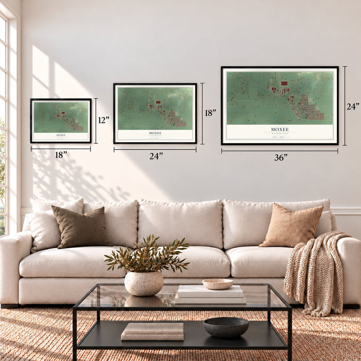



Free U.S. delivery 7 to 10 days after you order
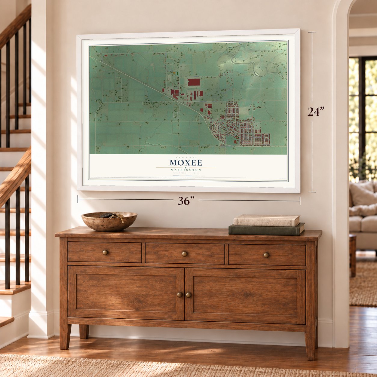
Moxee, Washington Map Art
A new map of Moxee, Washington, made in 2026 and printed to order on thick archival matte paper.
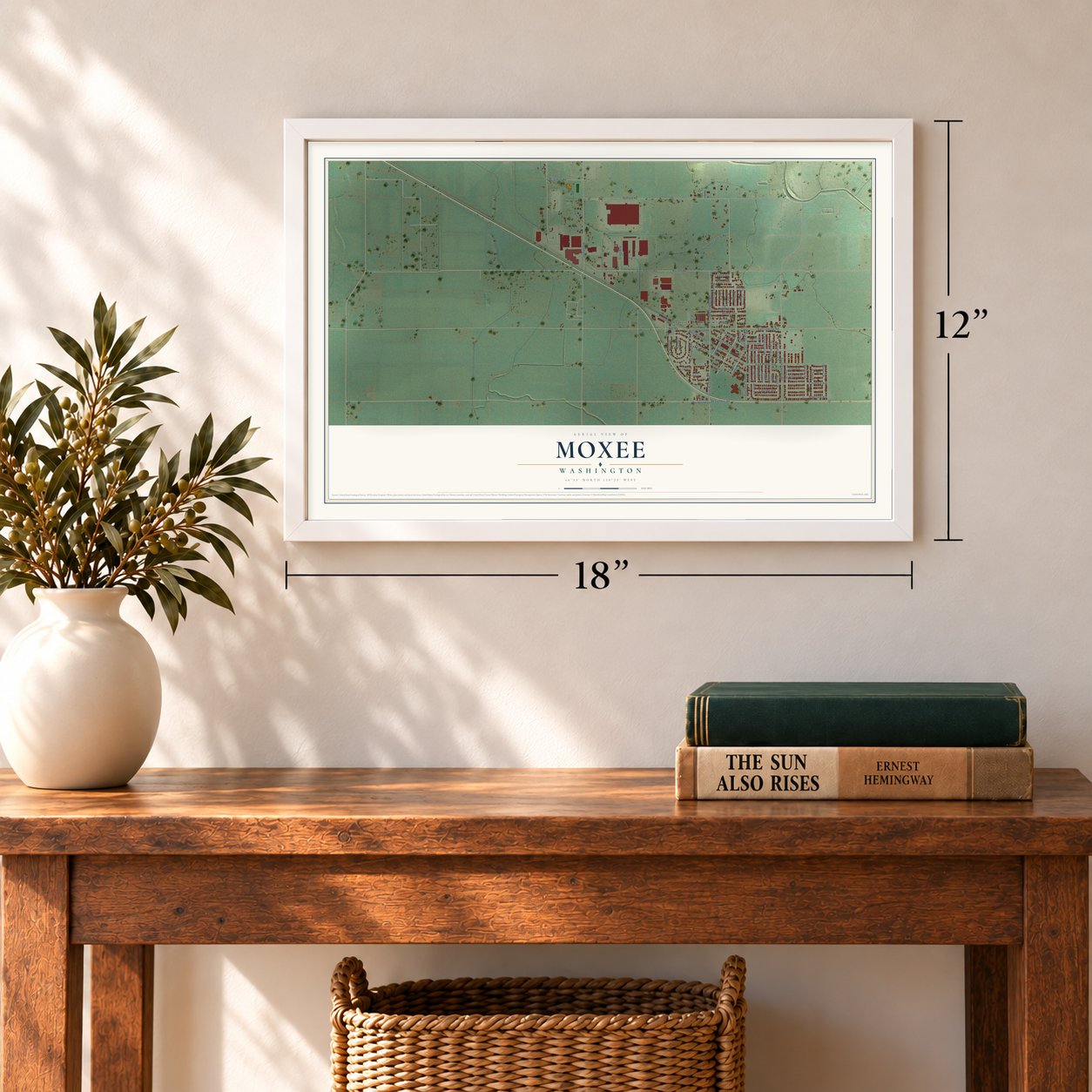
12" x 18" Archival Matte Print
A Map of Home. A Work of Art.
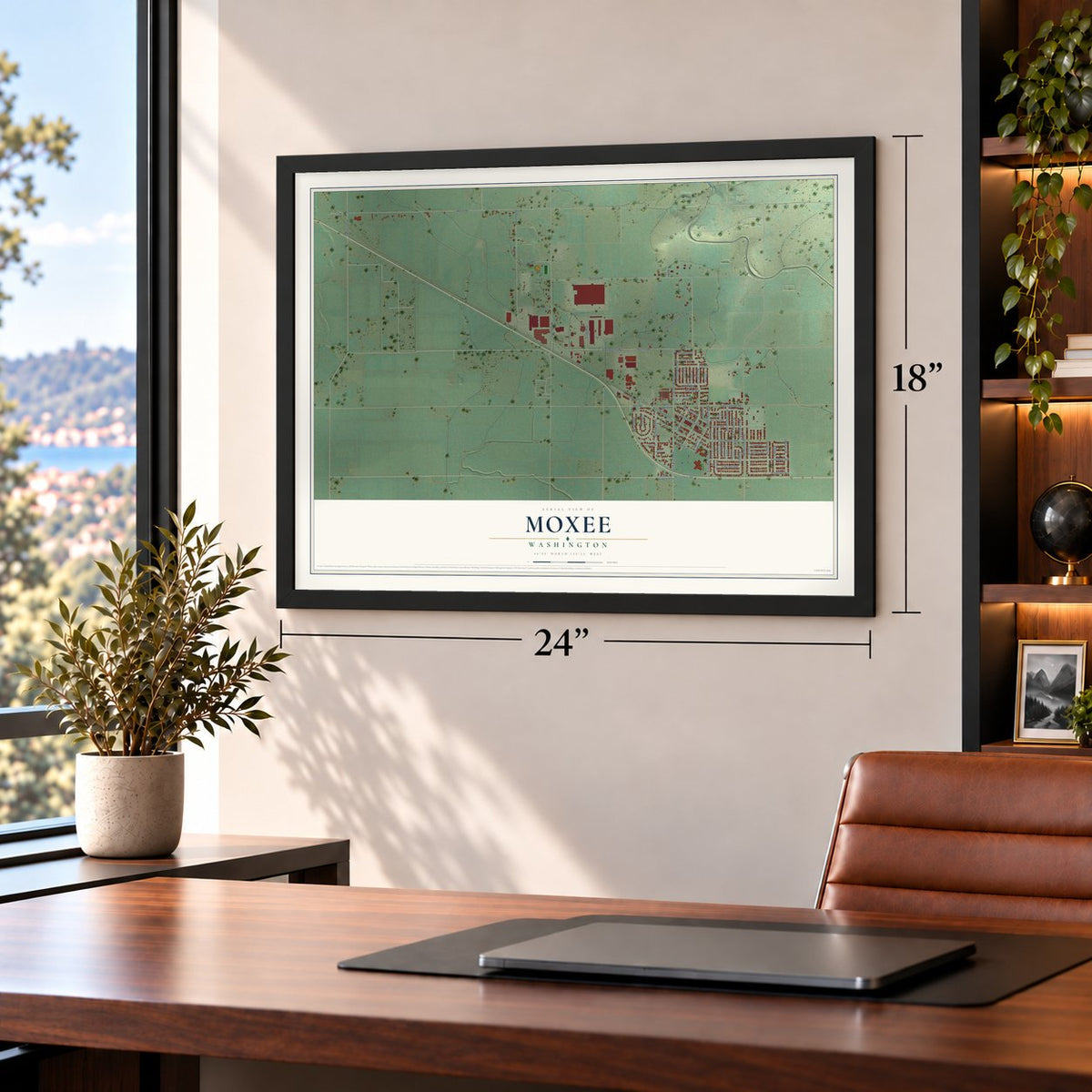
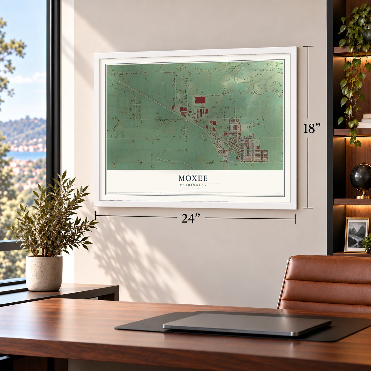
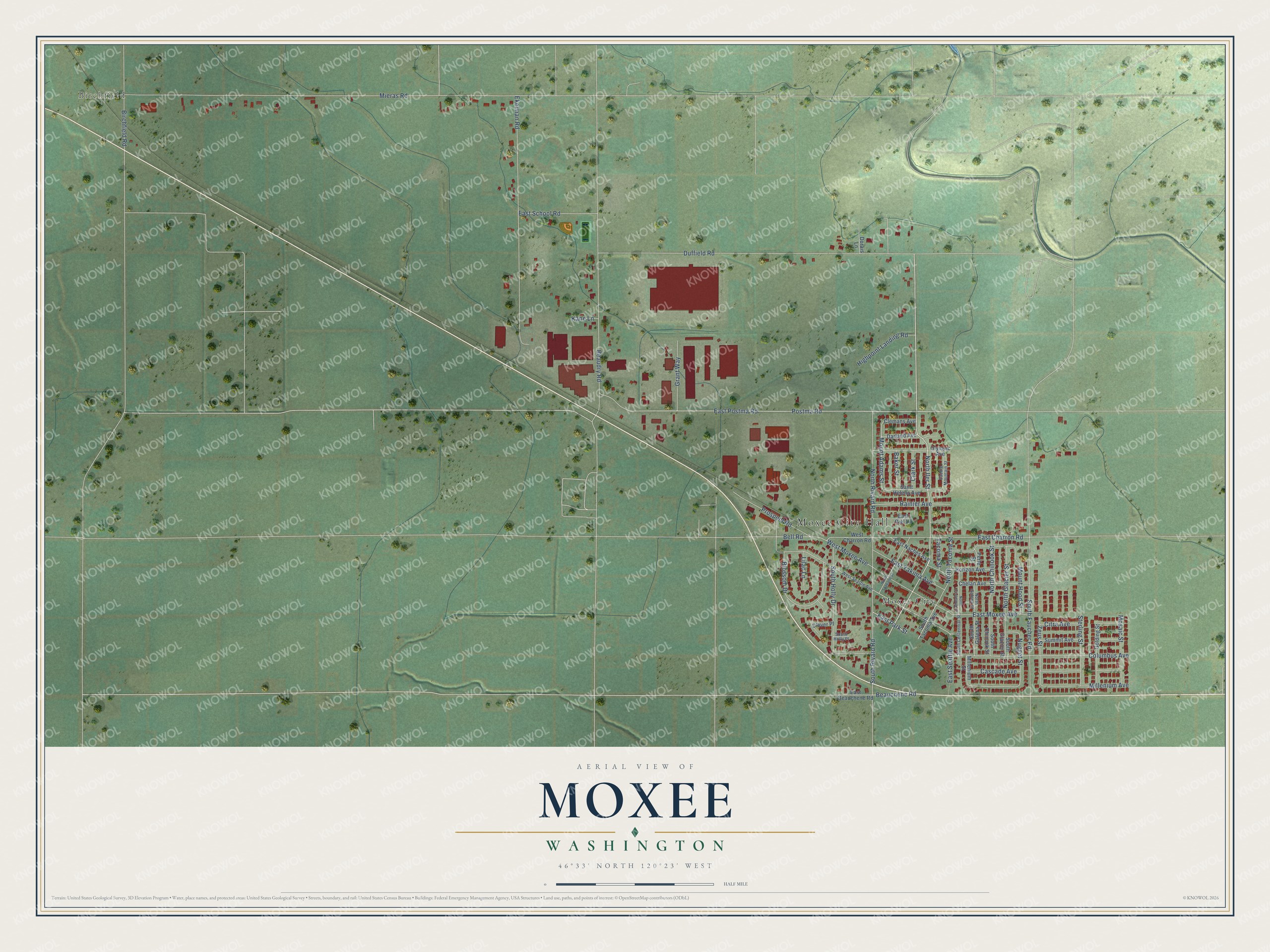
Explore Moxee, Washington from a whole new perspective. Created using aerial imagery and detailed geographic data, this map captures Moxee building by building, with labeled streets, familiar landmarks, and shaded topographical relief that highlights the natural contours of the landscape.
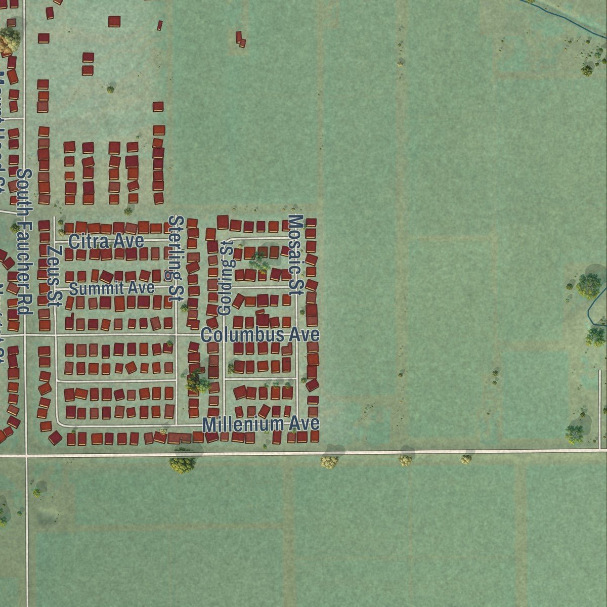
Combining modern data with the timeless character of a vintage atlas, this map is just as interesting up close as it is beautiful on the wall. Whether you grew up in Moxee, spent memorable years there, or call it home today, this unique map is a great way to celebrate a place that means something to you. Zoom in on the preview to look for your street, and then order a print to put your memories on the wall.
Three ways to hang it
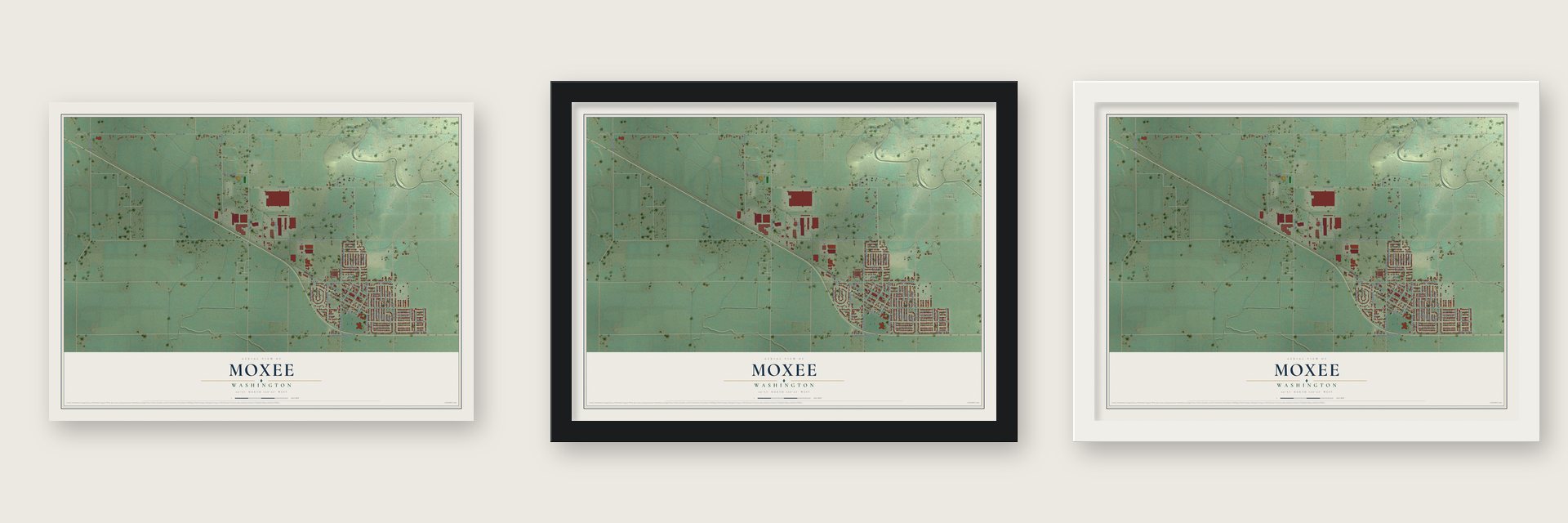
Unframed archival matte, a black wood frame or a white wood frame.
Up close
Geography Worth Displaying
This map was created using accurate cartographic data and authoritative geographic sources, including the U.S. Geological Survey and the Census Bureau. The map brings together terrain, waterways, roads, and building detail. The majority of the streets are labeled, houses are accurately depicted, and the topography is derived from government sources. Combining local data with carefully composed color and shading leads to this beautifully detailed Moxee artwork for your wall.
Rather than simply showing street outlines, we’ve included as many of the street names as we could reasonably fit on the map while keeping their names legible. Zoom in on the high resolution preview to see exactly what’s on the map. We truly set out to create a statement piece for anyone who loves Moxee. So whether it’s for you, or a gift for someone you love, we hope this map of Moxee brings back fond memories.
Read the story behind this map of Moxee, Washington from 2026.

About Moxee, Washington
Moxee is a city of 4,326 people in Yakima County, east of the Yakima River between Rattle Snake and Yakima mountains. In 1860 the stockman Mortimer Thorp brought a herd of more than 250 Durham cattle, along with 60 horses, into the valley, and his family joined him from the Klickitat Valley on February 15, 1861. Within weeks other settlers followed an Indian trail called Konnewock Pass into the valley. In 1867 the settlement took its name from a large warm spring on Thorp's land, which the Yakama called Moxee, a word for an edible root.
The Northern Pacific Railway reached the Yakima Valley in 1884, and in 1885 its trains carried French Canadian and Dutch families to Moxee, many of them from northern Minnesota. Ditches such as the Selah-Moxee Canal brought river water to the dry, fertile ground. The town incorporated as Moxee City on April 27, 1921, and before 1930 it had become the hops capital of the world.
“Little did he know he was unleashing what would become the largest hop-producing area in the world.”
- School upstairs in 1862Moxee's first classroom was on the second floor of the Thorp house, where Letitia Haines began teaching in 1862. Two years later the settlers built a one-room schoolhouse a mile to the south. Haines kept teaching the Thorp children, her own daughter and their neighbors there until 1882.
- The first court case, 1866Moxee's first court hearing met at the Thorp house in 1866. Alfred Henson charged that John McAllister had threatened his life, and Henson stayed under protection in the Thorp home until McAllister cooled off and posted the bond the court required.
- Alexander Graham Bell's in-lawsIn 1886 Gardiner Green Hubbard, Alexander Graham Bell's father-in-law and one of the men who started the National Geographic Society, formed the Moxee Company with relatives from both families. Its experimental farm cleared sagebrush from 6,400 acres and dug canals, some still carrying water today, to test crops from tobacco and cotton to alfalfa and hops. Over time its land was sold off to homesteaders, and the stockholders dissolved the company in 1955.
- Masses in FrenchThe families who came on the railroad bought land together, married into one another's households and welcomed newcomers. They opened a French school on La Framboise Road, and Holy Rosary Parish said its masses in French up to World War I.
- The Moxee Hop FestivalAround 1870 Charles Carpenter planted hops at Ahtanum, about 15 miles west, using rootstock from his father's farm in Constable, New York. The crop spread across the valley and made Moxee's name, and the town still celebrates it every year with the Moxee Hop Festival.
Find your street
Names on the Moxee map
Every name below is printed on this map. Look for your street, your school, the park where you played, or the pond down the road.
Places and landmarks3
- Moxee City Hall
- Birchfield
- Moxee City
Streets and roads71
- North Iler Street
- Duffield Road
- Mount Adams Street
- Millenium Avenue
- East Seattle Avenue
- Postma Road
- Mieras Road
- East Postma Road
- South Faucher Road
- East Charron Road
- Ekelman Road
- Beaudry Road
- Columbus Avenue
- East Moxee Avenue
- South Rivard Road
- South Holly Drive
- Blossom Drive
- North Rivard Road
- Cascade Avenue
- West Moxee Avenue
- Prospect Road
- Beauchene Road
- East Yakima Avenue
- East School Road
- Rainier Avenue
- North Chinook Street
- North Tacoma Street
- Mount Hood Street
- Sterling Street
- Grant Way
Show all 71 streets
- Mosaic Street
- Zeus Street
- Highpoint Landing Road
- North Glacier Street
- Nugget Street
- Bell Road
- Birchfield Road
- Citra Avenue
- East Park Street
- Clark Street
- Baker Street
- Lilac Lane
- Tacoma Street
- Kane Lane
- Saint Helens Avenue
- East Beauchene Road
- Olympic Avenue
- Chelan Avenue
- Golding Street
- West Charron Road
- East Naches Avenue
- South Glacier Street
- South Galena Street
- South Chinook Street
- Horizon Avenue
- Summit Avenue
- East Riel Lane
- South Tacoma Avenue
- Clemans Avenue
- Darland Avenue
- Clover Place
- Millenium Street
- Perle Street
- Dorais Lane
- West Seattle Avenue
- South Centennial Street
- Saddle Mountain Street
- North Galena Street
- South Holly Place
- North Spokane Street
- North Centennial Street
Names are listed as they appear on the printed map. Zoom into the product photos to find them.
The art of mapping a place
How This Map Was Made
Real places. Remarkable detail. Discover the layers that turn geographic data into a map of home.

The view from above
Aerial imagery reveals the character of the land: woodland, open fields, and the patterns of a place.

The shape of the land
Elevation data brings hills, valleys, and subtle changes in the landscape into view.

The details of home
Roads, waterways, and building footprints come together to make the map feel unmistakably local.

Geography becomes art
Considered color, shading, and typography bring the layers together in a map made for your wall.


Process illustrated with Mendon, Massachusetts. Aerial imagery: USDA NAIP. Terrain: USGS 3D Elevation Program. Map details and finished artwork: KNOWOL.
The Details
About This Print
Choose an archival matte print, or a black or white Ayous wood frame. The archival matte print is unframed.
Select your size and finish above to see the matching product image and price.
Materials & Craftsmanship
A contemporary map with the character of a classic atlas, printed on archival matte paper. Optional frames are made from Ayous wood.
Your printed map does not include the watermark shown in the full-map preview.
Shipping & Delivery
Free shipping within the United States. Every print is made to order in the USA.
Buying a gift? Add a note in your cart and we'll include it. We never put prices in the package.
Prints ship within 2 to 3 business days. Allow 7 to 10 days total from ordering for delivery. Timing may vary during holidays or periods of high order volume.
Read our shipping policy.
Returns and damaged prints
Each print is made to order. Change-of-mind refunds are not available after production.
If your print arrives damaged, misprinted or incorrect, contact support@knowol.com within 30 days of receiving it. Include your order number, photos and a description of the issue.
Read our full refund and replacement policy. For questions about your order, email support@knowol.com.
Find your town
Looking for another city?
Find a map of home in our Washington collection, or any town in the country.
Nearby
Maps of towns near Moxee
Know someone from one of these towns? Their map makes a great gift.
 Terrace Heights
, Washington
From $39.99See the map
 Union Gap
, Washington
From $39.99See the map
 Parker
, Washington
From $39.99See the map